Churriana de la Vega Gravel Adventure
A gravel cycling route starting from Churriana de la Vega
Embark on a gravel adventure through the scenic routes surrounding Churriana de la Vega
Map
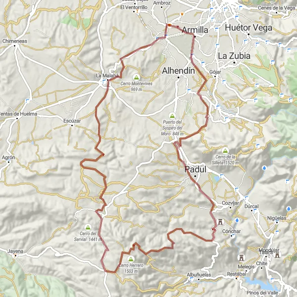
This gravel adventure takes you on a journey through diverse terrain and picturesque landscapes. With an ascent of 1374 meters and a distance of 83 kilometers, this route offers a challenging yet rewarding experience. The difficulty level of this route is 4, and the epicness score is 3, as it includes some famous climbs and picturesque spots.
gravel
83 km
1374 m
Tough
Route profile
Highlights on the route
0 km
0 km
Start: Churriana de la Vega City centerChurriana de la Vega: Convenient cycling base near Granada.
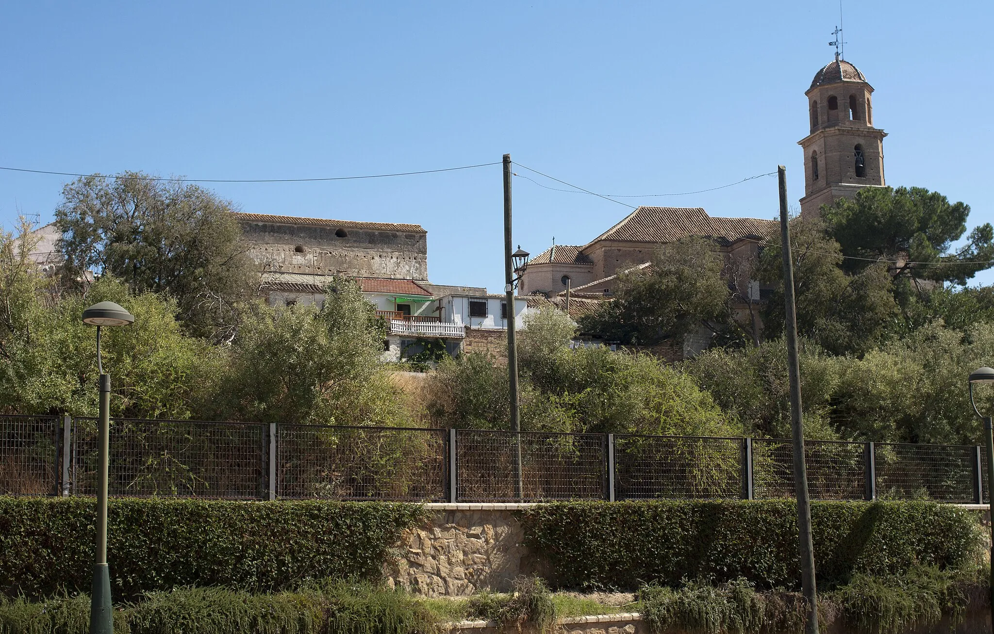
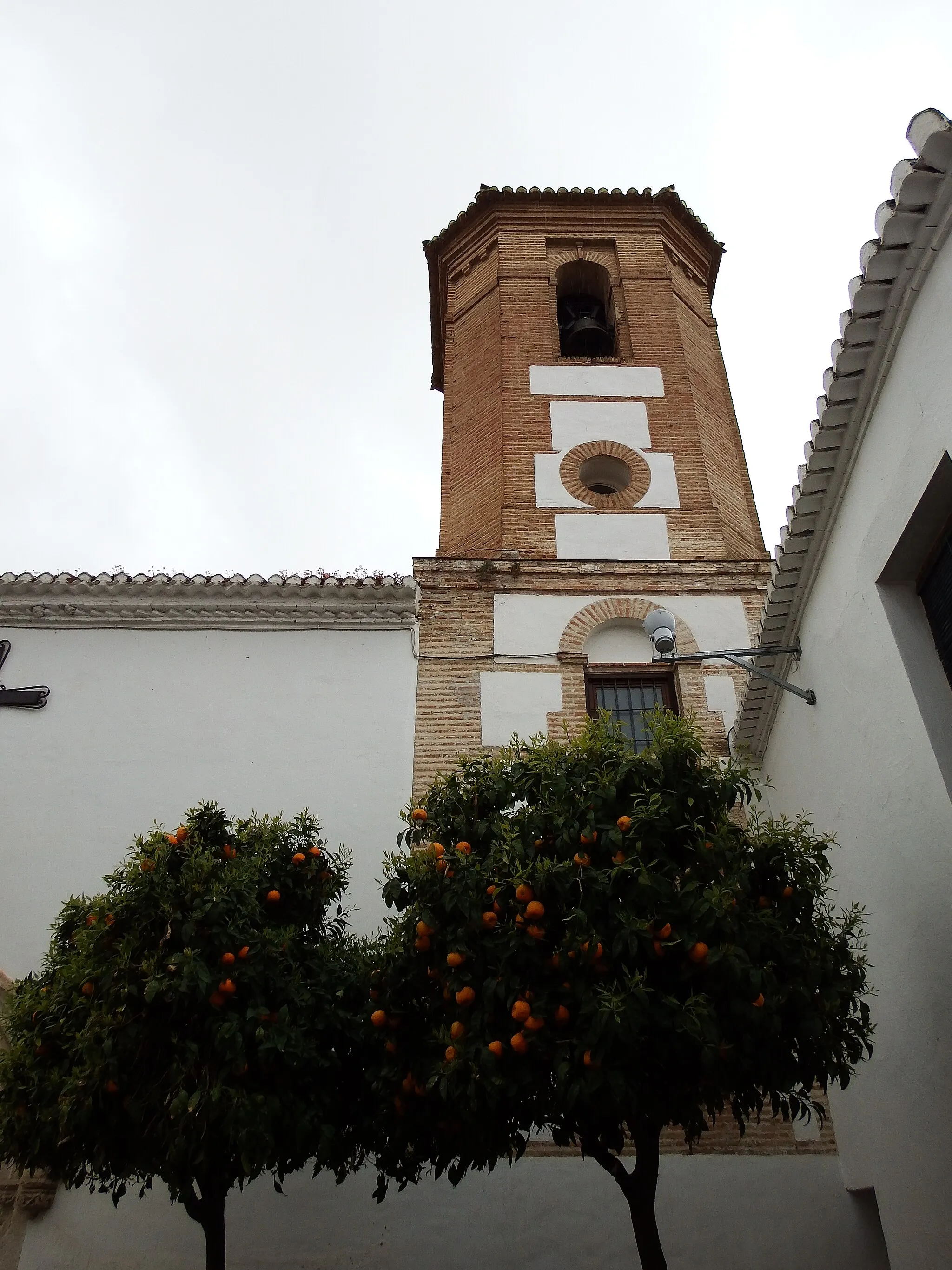
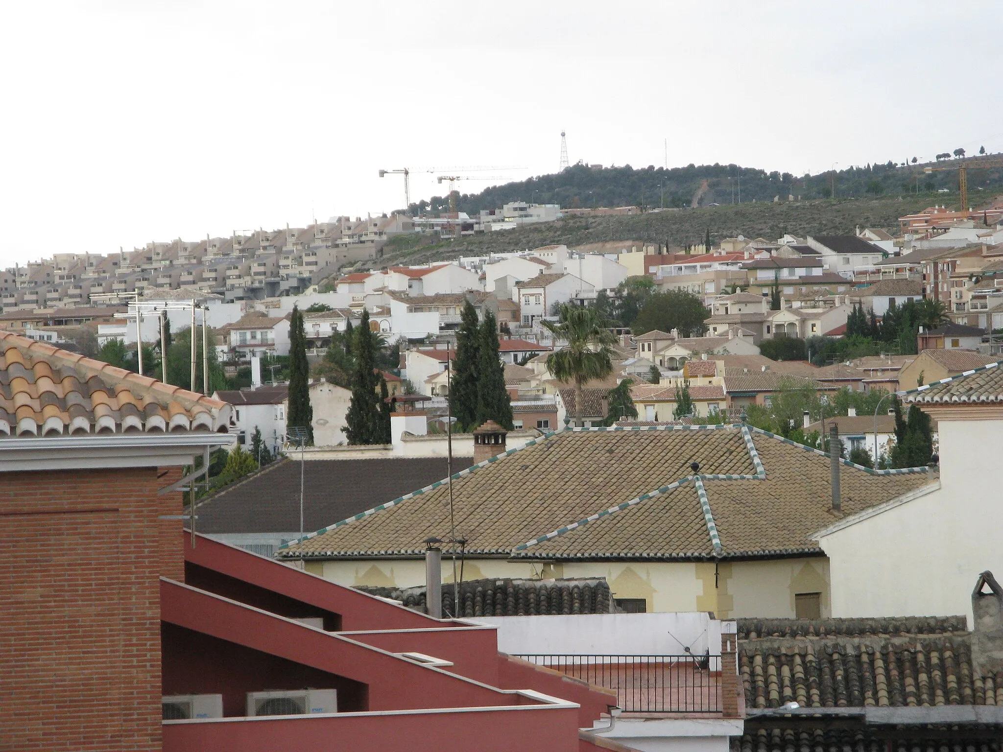
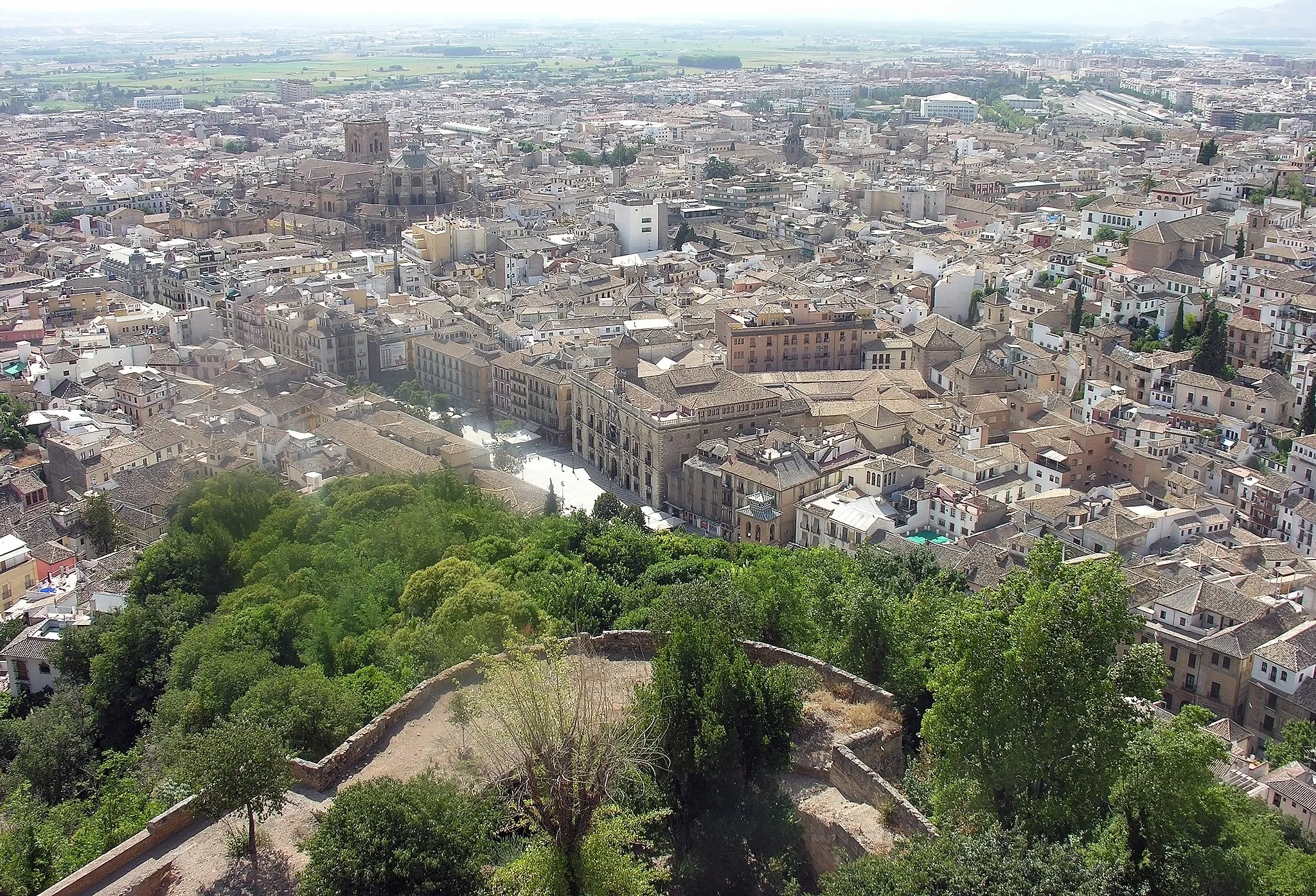
Churriana de la Vega is a locality in Andalucía, Spain. From a cyclist's perspective, the town offers mainly urban and rural roads for cycling. While it may not have any famous cycling-related spots or well-known climbs nearby, its convenient location near Granada provides easy access to more popular cycling destinations in the region. Churriana de la Vega offers amenities for cyclists, including bike shops and rental services. Additionally, the town is surrounded by beautiful countryside, offering opportunities for leisurely rides. Overall, Churriana de la Vega is a suitable location for road cycling, particularly for those looking to explore the wider Granada area.0 km
0 km
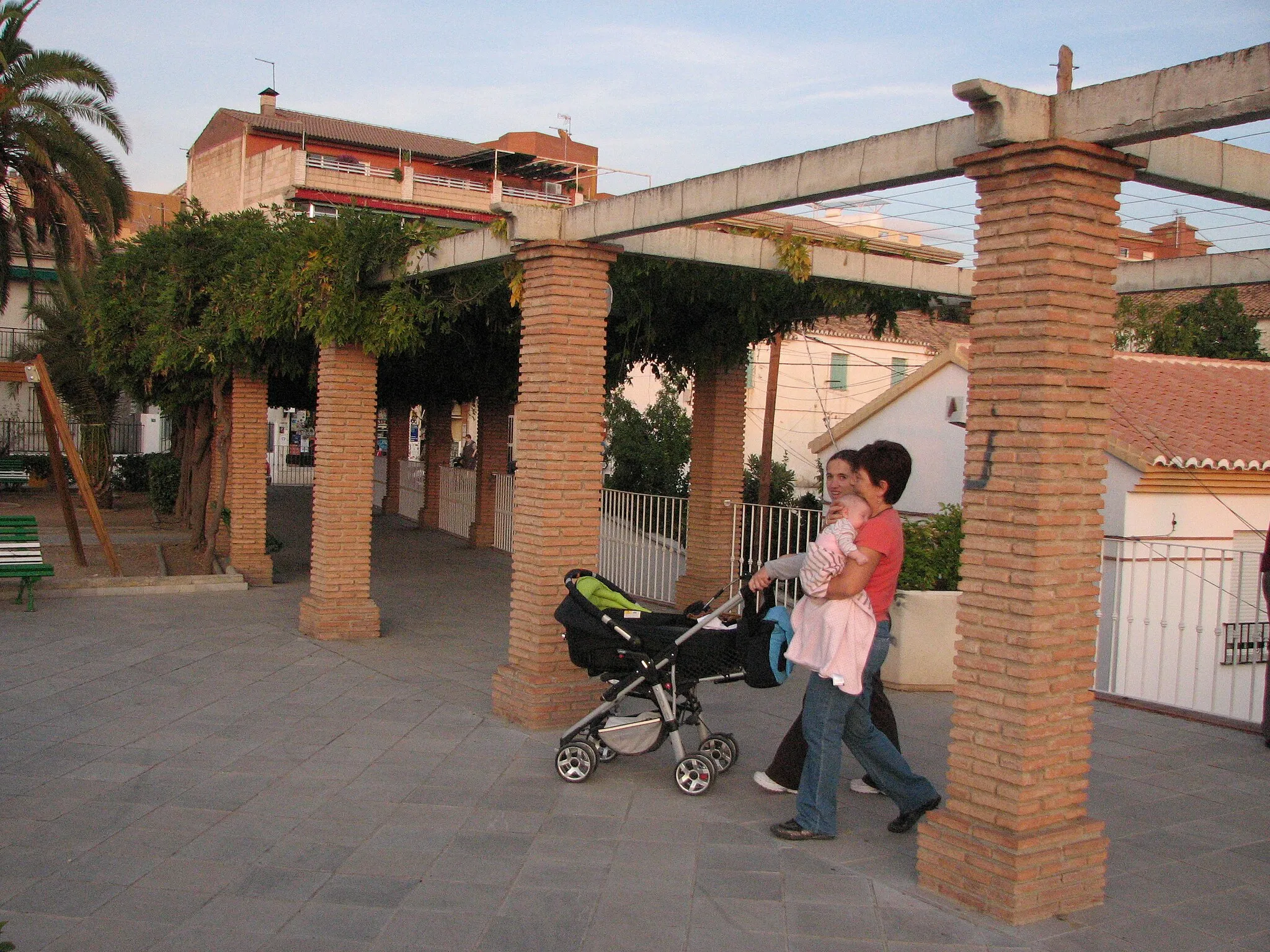
Churriana de la VegaTownChurriana de la Vega is a lively town with a rich cultural heritage.
14 km
14 km
Collado de Barranco Hondo1085 mMountain PassCollado de Barranco Hondo offers challenging terrain and stunning views of the surrounding landscapes.
26 km
26 km
Atalaya de CóncharCastle RuinsAtalaya de Cónchar provides panoramic views of the surrounding countryside.
41 km
41 km
Cerro del Águila1464 mPeakCerro del Águila is known for its unique rock formations and impressive geological features.
53 km
53 km
Cerro del Tronquili1360 mPeakCerro del Tronquili offers a challenging climb and rewarding views.
72 km
72 km
La MalaháVillage78 km
78 km
Cerro de La Atalaya729 mPeak83 km
83 km
Finish: Churriana de la Vega City centerChurriana de la Vega: Convenient cycling base near Granada.
Cycling routes from Churriana de la Vega:
Cycling routes nearby: