Sierra de Cazorla Challenge
A road cycling route starting from Orcera
Embark on a thrilling adventure through the rugged Sierra de Cazorla
Map

The Sierra de Cazorla Challenge takes cyclists on a thrilling journey through the stunning landscapes of the Sierra de Cazorla mountains. With a total ascent of 2,801 meters and a distance of 116 kilometers, this road cycling route will push even the most well-trained amateur cyclist to their limits. The route showcases the natural beauty of the region, with highlights including the breathtaking viewpoints at Mirador de los Diestros and the picturesque town of Santiago de la Espada.
road
116 km
2801 m
Tough
Route profile
Highlights on the route
0 km
0 km
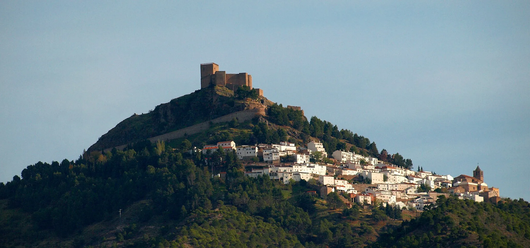
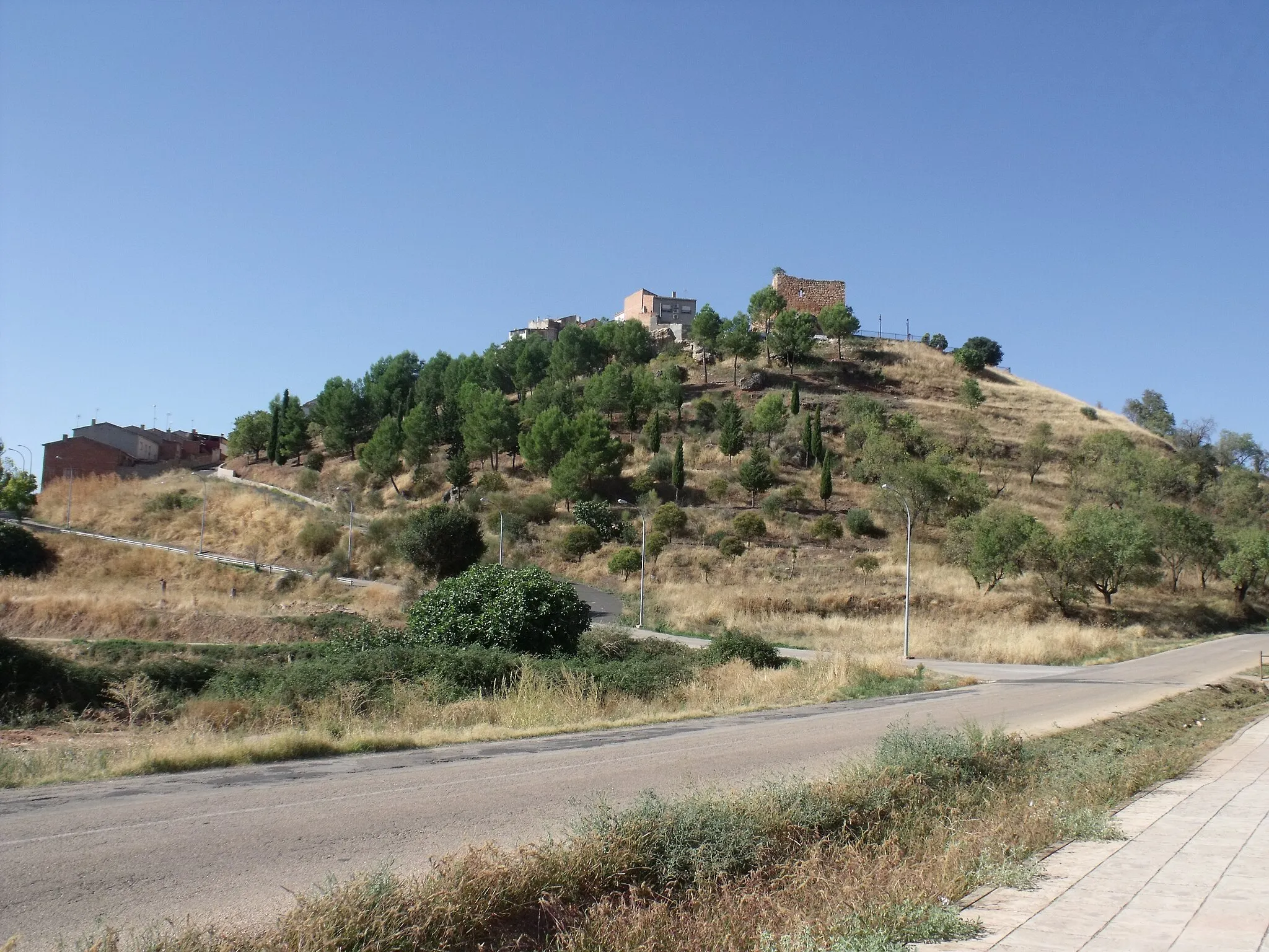
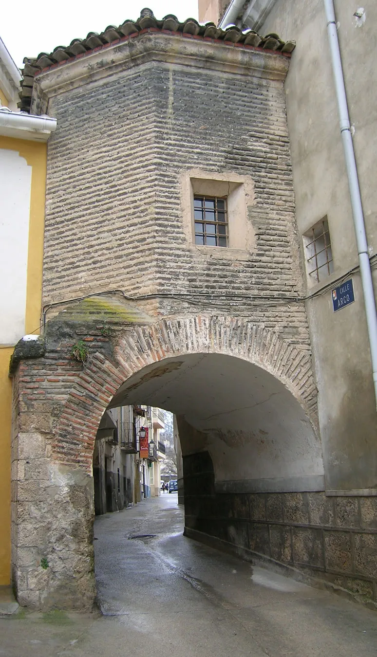
Start: Orcera Village centerOrcera: Conquering the untamed off-road trails of Orcera amidst breathtaking mountain scenery.
Orcera, located in Andalucía, Spain, is a paradise for gravel cyclists seeking thrilling off-road adventures. The locality is situated in the beautiful natural park of Sierras de Cazorla, Segura y Las Villas, offering majestic mountain scenery and unpaved trails. Orcera serves as an ideal base for exploring the rugged terrain of the Sierra de Segura and Sierra de Cazorla mountain ranges. Due to its remote location and challenging trails, Orcera is less suitable for road cycling enthusiasts. However, for gravel cyclists looking to immerse themselves in nature and conquer demanding routes, Orcera is a dream destination.3 km
3 km
peñaltaViewpointMake a stop at Peñalta to admire the impressive rock formations and take in the panoramic views of the surrounding countryside.
42 km
42 km
La TobaHamletVisit La Toba, a small village known for its charming traditional architecture and beautiful hiking trails.
42 km
42 km
Cueva de la TobaViewpointExplore the fascinating Cueva de la Toba, a natural cave with interesting geological formations.
59 km
59 km
Santiago de la EspadaVillageDiscover the historic town of Santiago de la Espada, known for its medieval architecture and rich cultural heritage.
60 km
60 km
Collado de la Lobera1538 mMountain PassConquer the challenging Collado de la Lobera, a mountain pass that offers stunning views of the surrounding landscape.
70 km
70 km
Cerro Quemao1561 mPeakReach the summit of Cerro Quemao, a mountain peak with breathtaking panoramic views of the entire region.
74 km
74 km
Pontón BajoHamletPedal across the iconic Pontón Bajo, a stunning bridge that spans a deep canyon and offers an unforgettable experience.
92 km
92 km
Refugio C.F. El Campillo-HornosShelterRest and refuel at Refugio C.F. El Campillo-Hornos, a cozy mountain refuge with beautiful views of the surrounding mountains.
95 km
95 km
Cerro de la Chaparra1404 mPeakMarvel at the stunning Cerro de la Chaparra, a majestic mountain that stands tall and offers a challenging climb for cyclists.
111 km
111 km
Mirador de los DiestrosViewpointEnjoy the breathtaking views from the Mirador de los Diestros, a scenic viewpoint located high above the mountains.
116 km
116 km
OrceraVillageStart your journey in Orcera, a charming town surrounded by natural beauty and steeped in history.
116 km
116 km
Finish: Orcera Village centerOrcera: Conquering the untamed off-road trails of Orcera amidst breathtaking mountain scenery.
Cycling routes from Orcera:
Gravel Adventure in the Segura Valley Discovering the Hidden Gems of Orcera Historic Route through Albánchez Scenic Gravel Tour near Orcera Exploring the Sierra de Segura Orcera Gravel Adventure Epic Route to Segura de la Sierra Sierra de Segura Road Challenge Sierra de Cazorla Challenge Ultimate Sierra de Cazorla Grand Tour Loop around Orcera through scenic gravel roads
Cycling routes nearby: