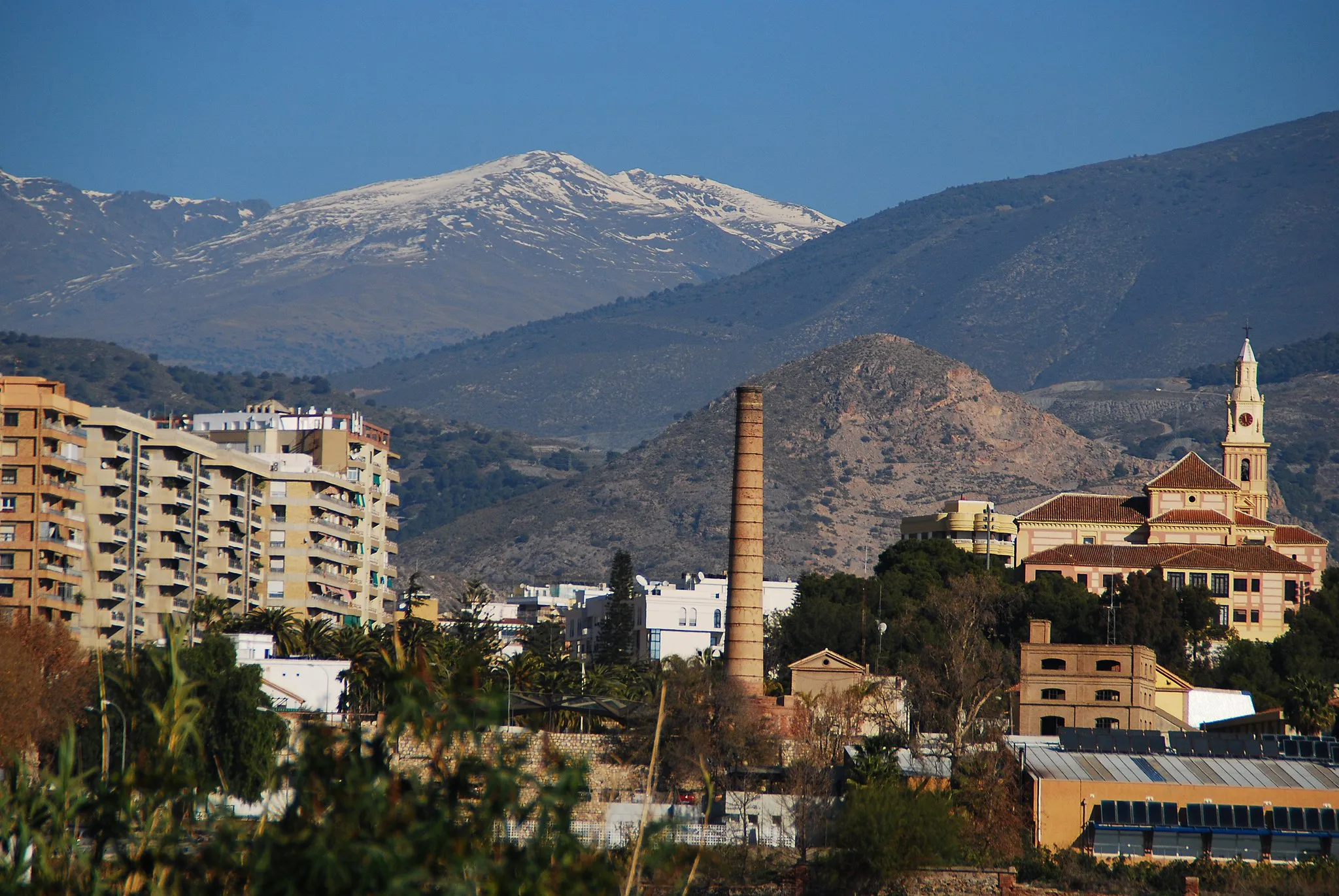
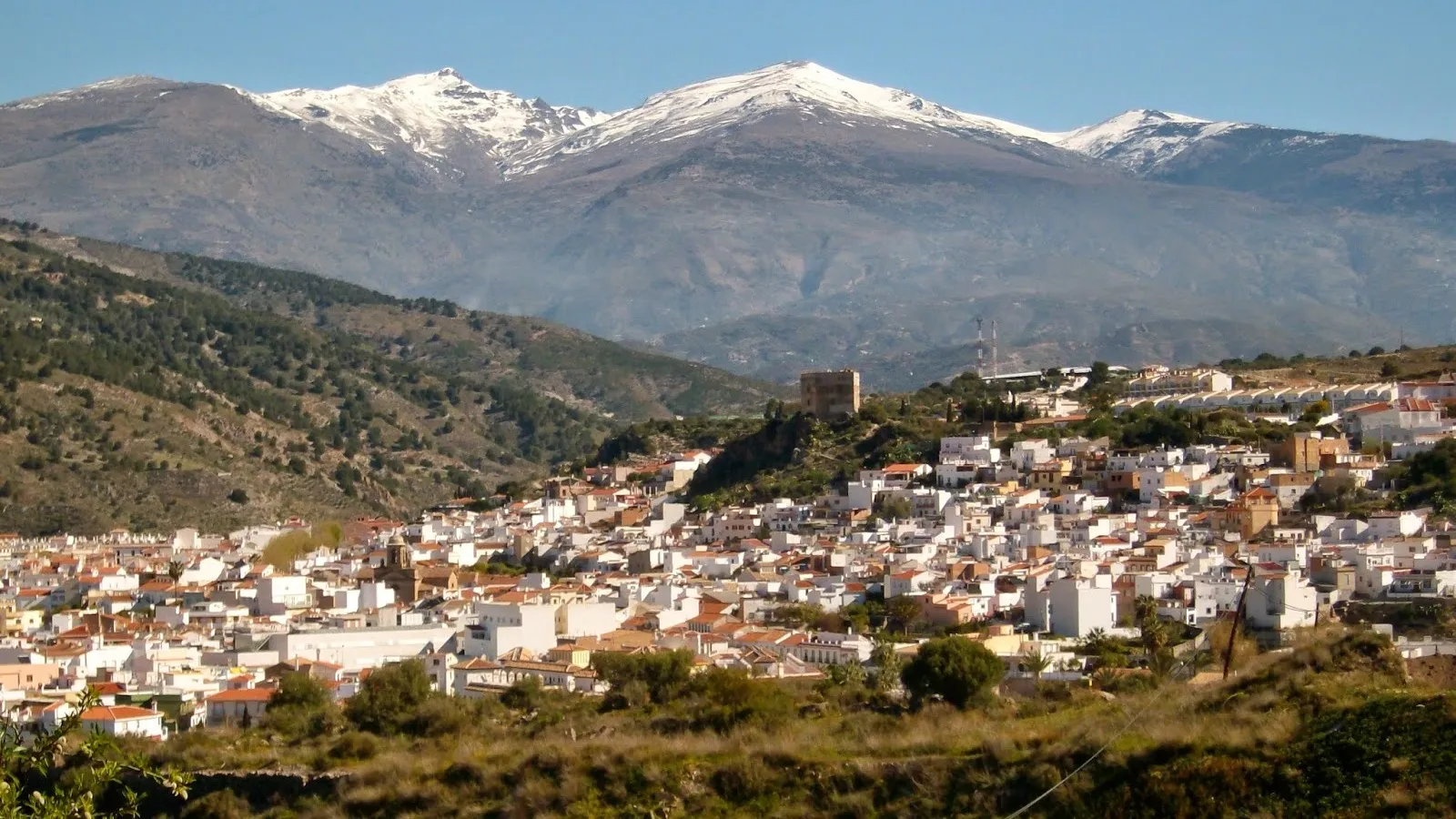
Scenic cycling routes and access to Sierra Nevada National Park.
Cycling routes from Salobrena
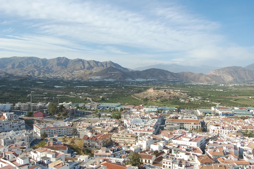
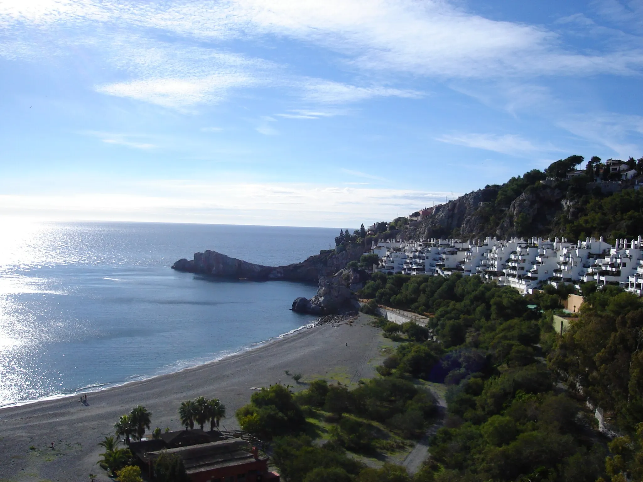
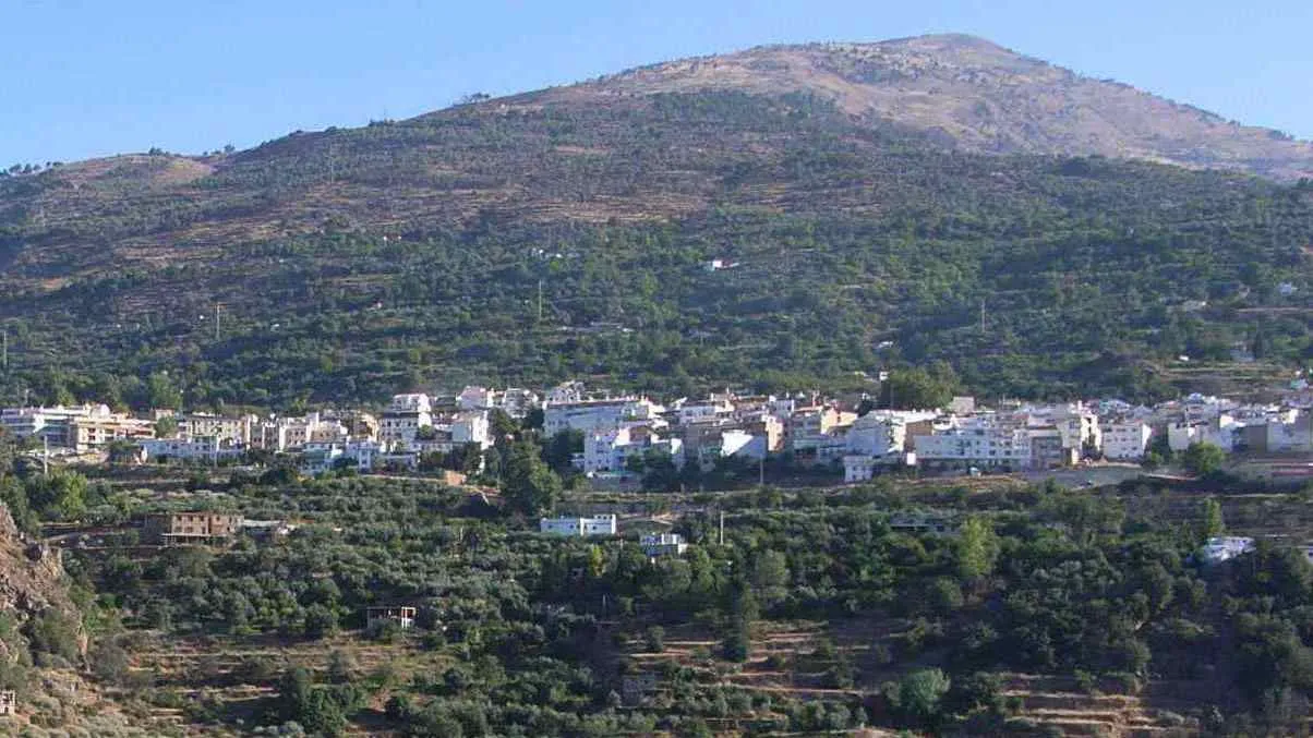
Salobreña, located in the Andalucía region of Spain, offers a variety of cycling opportunities for road and gravel cyclists. The town is set against a backdrop of mountains and provides cyclists with scenic routes to explore. One notable cycling spot near Salobreña is the Sierra Nevada National Park, which offers challenging climbs and breathtaking views. With its diverse terrain and cycling-friendly atmosphere, Salobreña is a great locality for cycling and attracts both locals and tourists looking for cycling adventures.
Conquer the mountain roads of Andalucía and experience the ultimate test of endurance.
Prepare yourself for an extraordinary cycling adventure through the mountains near Salobreña. This road route will push your limits as you conquer challenging climbs and descend thrilling winding roads. The rugged terrain and breathtaking scenery will make it an unforgettable journey for experienced cyclists seeking an epic challenge. Enjoy the dramatic mountain landscapes and picturesque villages along the way, displaying the rich cultural heritage of Andalucía.
Experience the charm of traditional villages and beautiful canyons along this scenic road cycling route
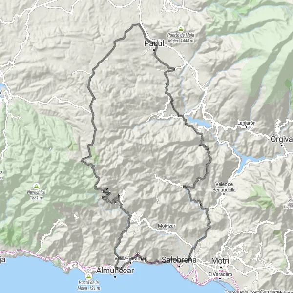
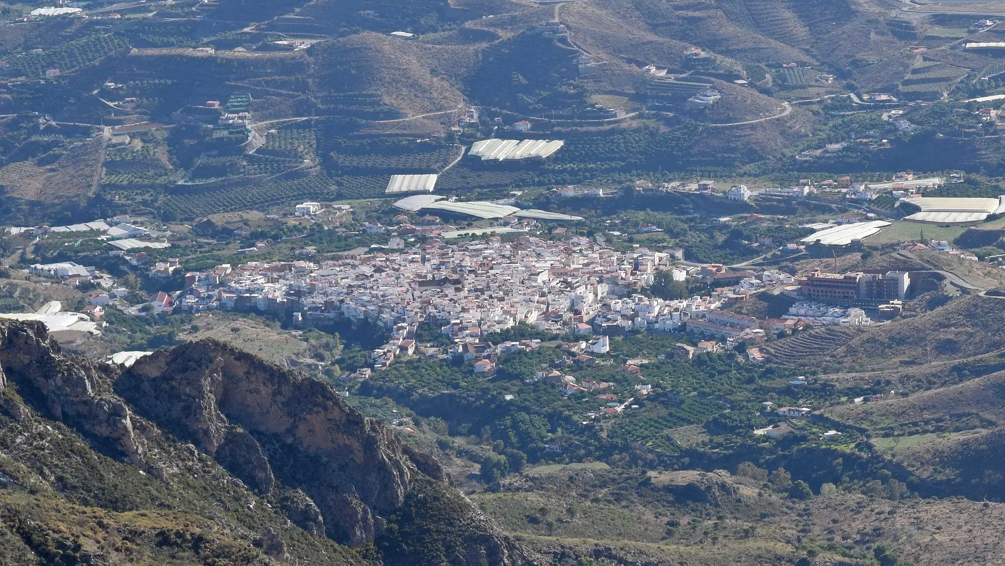
This road cycling route leads cyclists through charming villages and beautiful canyons, showcasing the cultural and natural diversity of the region. With a distance of 133 kilometers and a total ascent of 2,760 meters, the route provides a perfect mix of scenic landscapes and cultural immersion. Highlights include mesmerizing viewpoints like Mirador Enrique Morente and historical gems like Vélez de Benaudalla. The difficulty level of this route is rated as a 3 out of 5, suitable for intermediate riders, while the epicness level is considered a 3 out of 5.
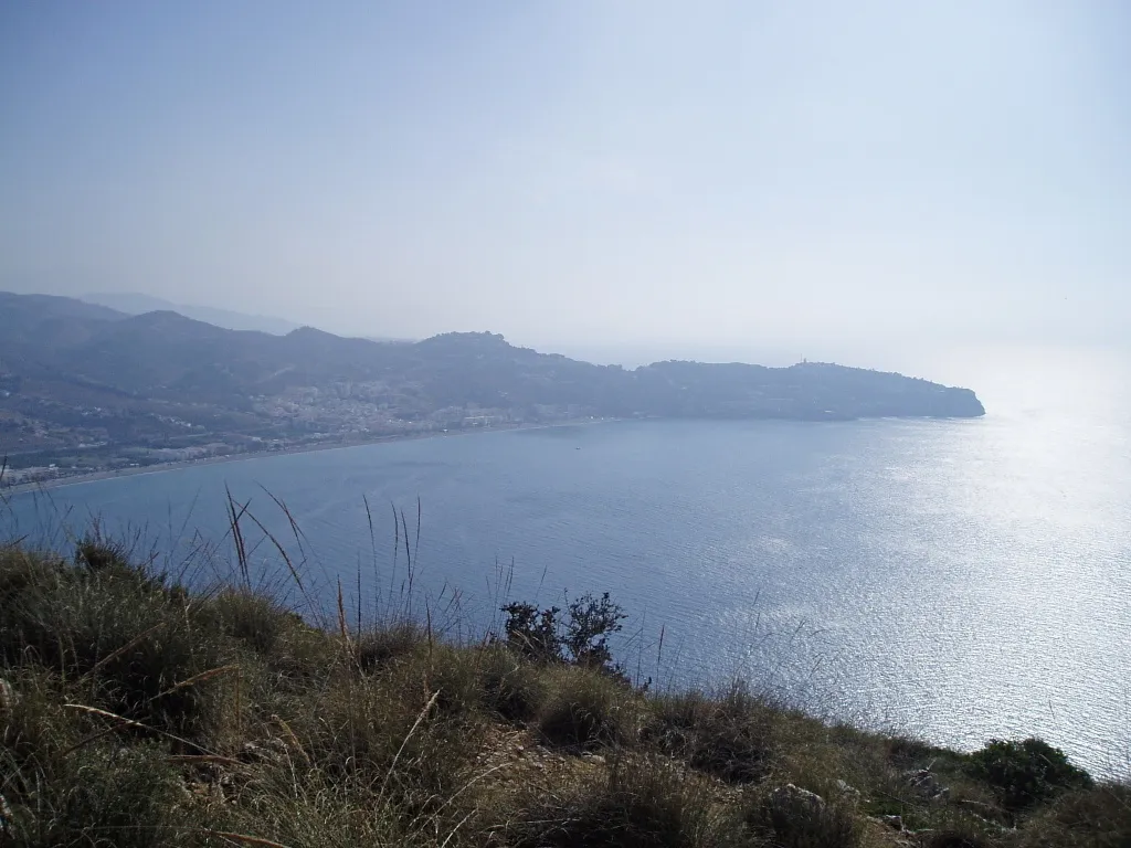
Discover the diverse terrain of Andalucía with stunning coastal views and challenging mountain climbs.
Embark on a thrilling cycling journey through Andalucía, starting near Salobreña. This route offers a perfect blend of picturesque coastal roads and breathtaking mountain climbs. You'll experience the beauty and diversity of the region as you conquer challenging ascents and soak in panoramic views of the Mediterranean Sea. Whether you're a gravel bike enthusiast or a road cyclist, this adventure will provide an unforgettable cycling experience.
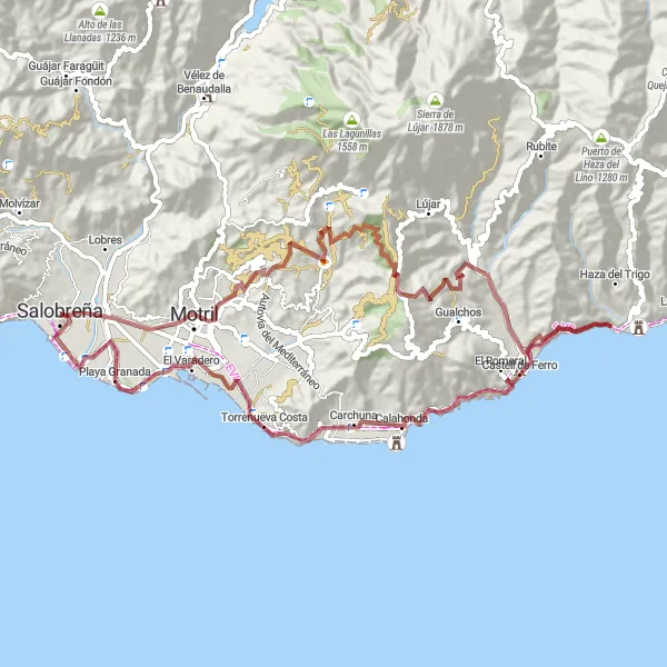
Costa Tropical Route
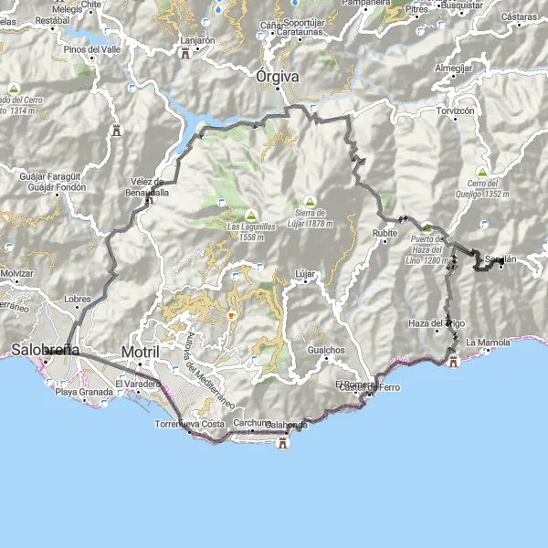
A breathtaking coastal route with stunning views
The Costa Tropical Route is a scenic cycling route that takes you along the stunning coastline of Andalucía. With a total distance of 110 km and an ascent of 2762 m, this road route offers a challenging yet rewarding experience for experienced cyclists. The route passes through several highlights, including the Mirador Enrique Morente, Vélez de Benaudalla, Pago y Benisalte, Cerro del Moro, Puerto de Haza del Lino, Tres Cerros, Castillo de Baños de Arriba, Torrenueva Costa, and Salobreña Castle.
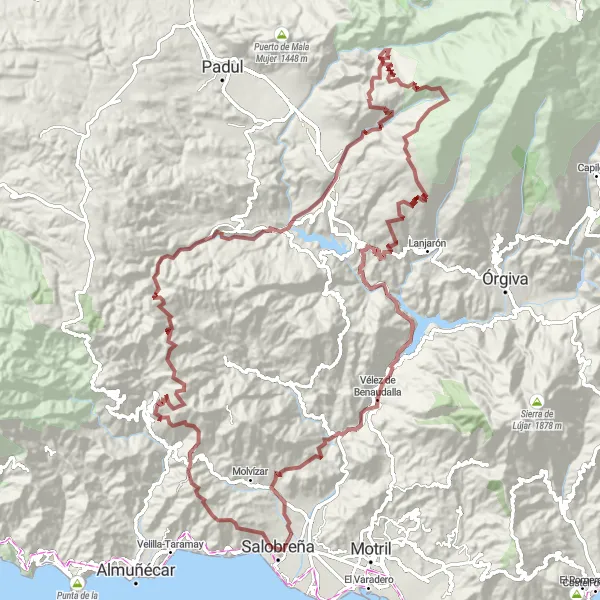
Challenge yourself on the legendary Sierra Nevada Gravel Epic
The Sierra Nevada Gravel Epic is an epic cycling adventure that takes you through the legendary Sierra Nevada mountain range. With a total distance of 135 km and an ascent of 4776 m, this gravel route is reserved for experienced and well-trained gravel riders. The route is packed with highlights, including Salobreña Castle, Cerro de Ítrabo, Lentegí, Puerto Viejo, Saleres, Nigüelas, Mirador de la Razuela, Cerro de los Cañones, Mirador Tres Puentes, Vélez de Benaudalla, and Mirador Enrique Morente.
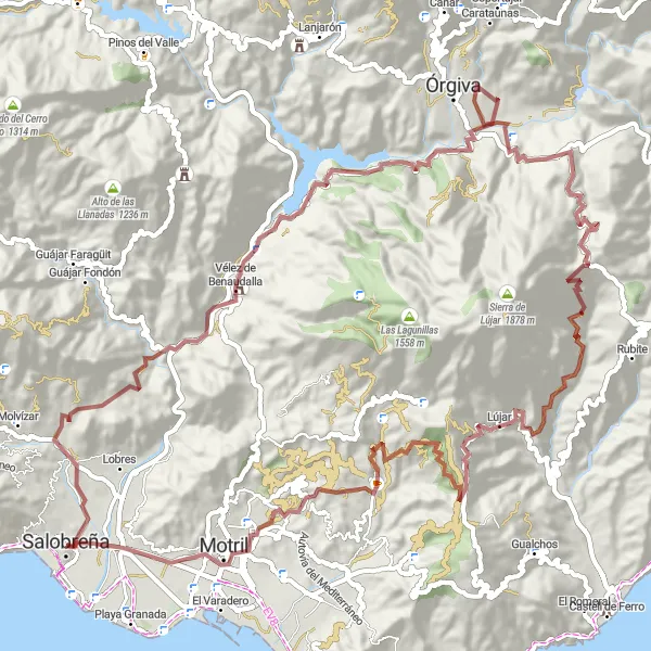
Explore the rugged beauty of Sierra de Lújar on this gravel route
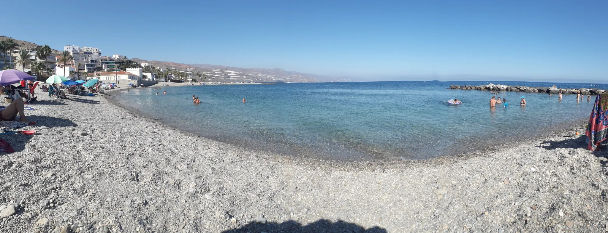
The Sierra de Lújar Gravel Route is a thrilling cycling adventure that takes you through the rugged beauty of Sierra de Lújar. With a total distance of 83 km and an ascent of 1691 m, this gravel route is suitable for experienced cyclists who crave off-road excitement. The route includes highlights such as Motril, Calahonda, Playa Granada, and Mirador Enrique Morente.
Coastal Gravel Adventure
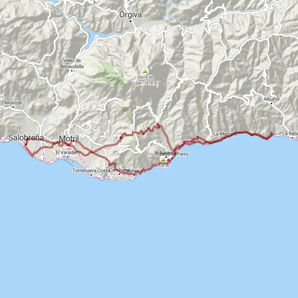
Embark on a thrilling coastal gravel adventure
The Coastal Gravel Adventure is an exciting cycling route that takes you along the rugged coastal trails and sandy beaches. With a total distance of 100 km and an ascent of 2033 m, this gravel route is suitable for experienced gravel riders. The route includes highlights such as Mirador Enrique Morente, La Mamola, Cerro Chica, and Calahonda.
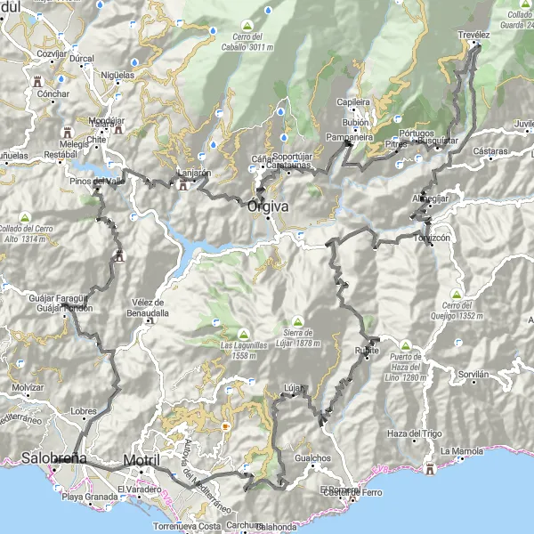
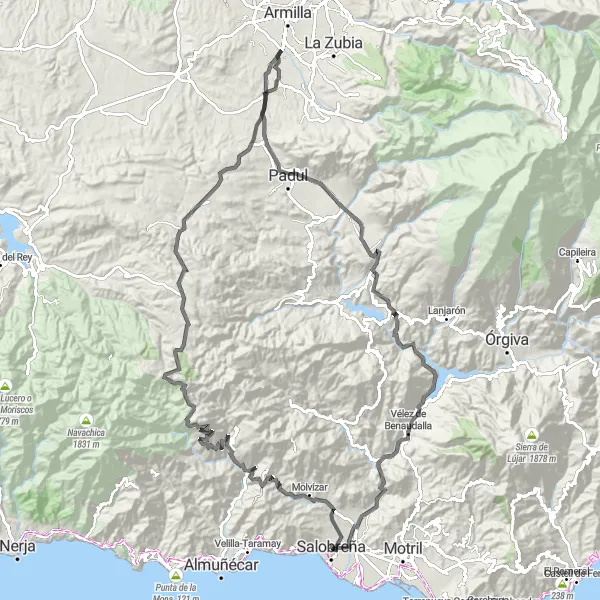
Cycle through stunning landscapes towards the Alpujarras region
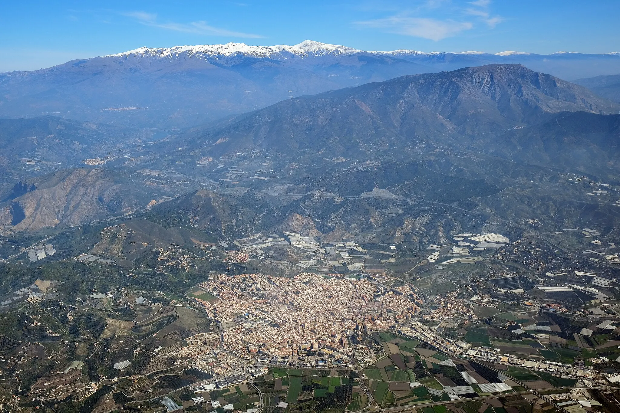
This route takes cyclists from Salobreña towards the beautiful Alpujarras region, known for its picturesque villages, white-washed houses, and Moorish architecture. The route offers a challenging climb with a total ascent of 4,851 meters and covers a distance of 184 kilometers. With highlights including the famous Salobreña Castle and scenic viewpoints like Mirador Enrique Morente, cyclists will be captivated by the stunning views along the way. The overall difficulty of this route is rated as a 4 out of 5, suitable for well-trained amateurs, and the epicness level is considered a 4 out of 5.
Navigate through scenic gravel paths for an adventurous ride
This off-road gravel route near Salobreña provides an adventurous cycling experience for those seeking thrilling rides away from the main roads. The 63-kilometer route with a total ascent of 2,728 meters takes cyclists through picturesque landscapes and hidden gems. Highlights along the route include the famous Salobreña Castle with its intriguing history and Mirador Enrique Morente, a recommended viewpoint for its sweeping vistas. The difficulty level of this route is rated as a 3 out of 5, suitable for intermediate riders, while the epicness level is considered a 3 out of 5.
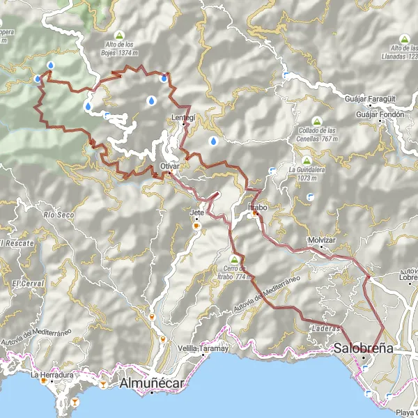
Experience the charm of the tropical foothills on this road route
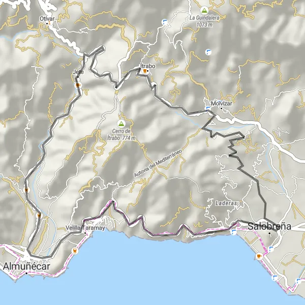
The Tropical Foothills Loop is a scenic road route that takes you through the charming villages and lush landscapes of the tropical foothills. With a total distance of 41 km and an ascent of 868 m, this route is suitable for cyclists of all levels. The route passes through highlights such as Velilla-Taramay, Torrecuevas, Jete, Ítrabo, and Mirador Enrique Morente.
Cycling routes nearby:
Nearby regions: