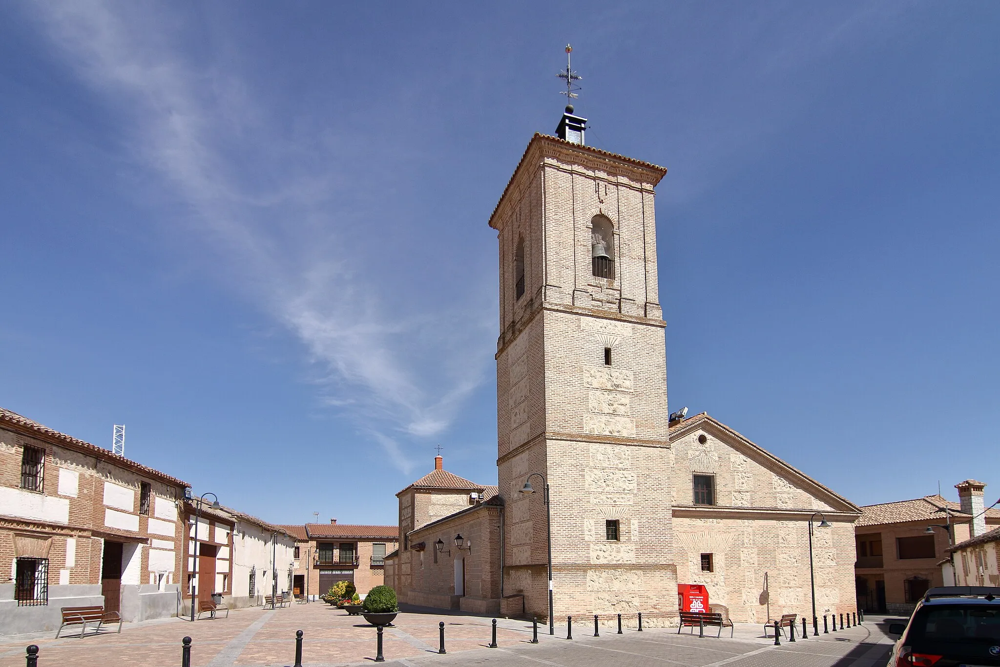
Thrilling Cycling Destination in Castilla-La Mancha's Gerindote
Cycling routes from Gerindote
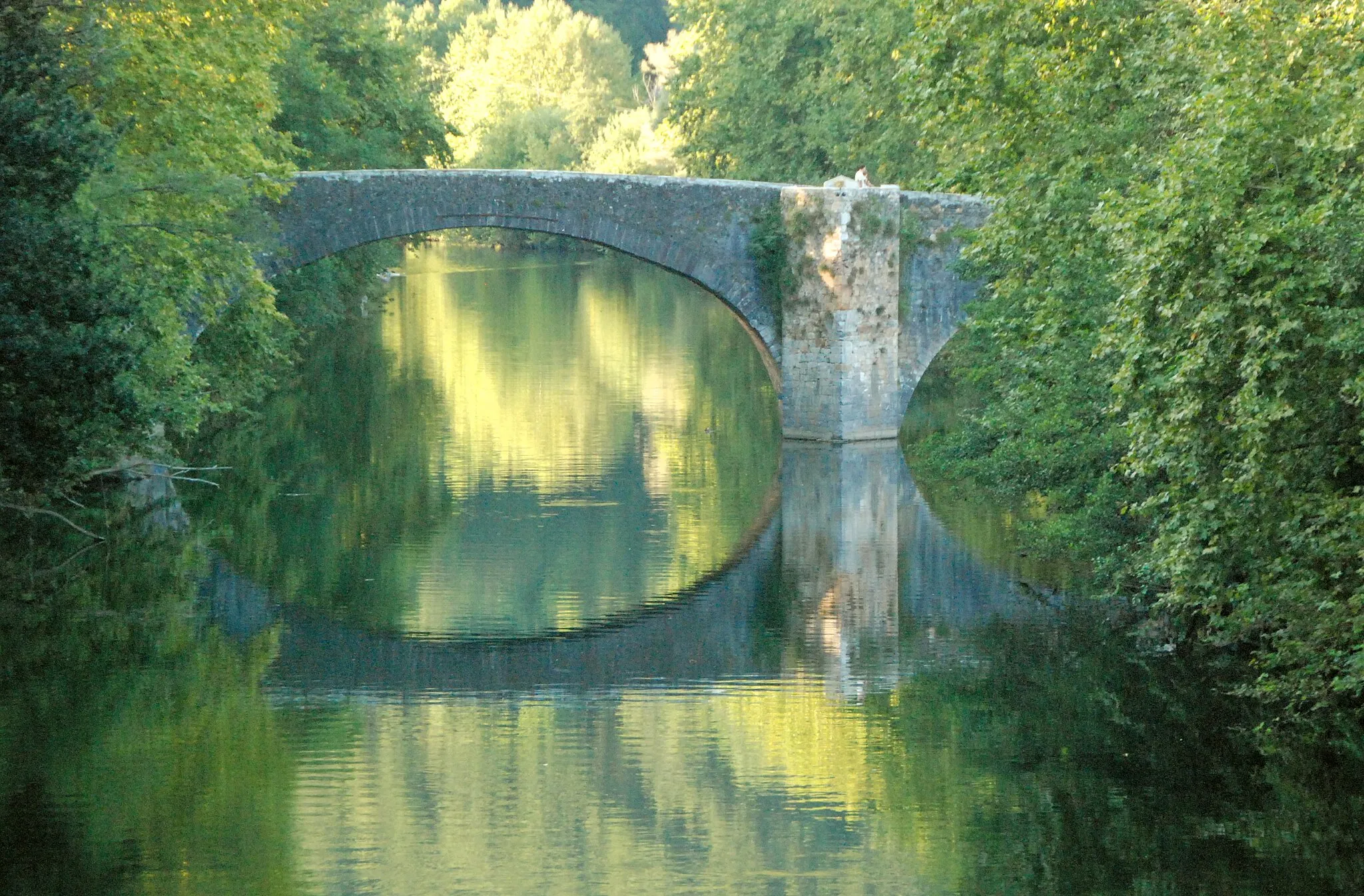
Gerindote, situated in Castilla-La Mancha, Spain, is a hidden jewel for road and gravel cyclists seeking thrilling cycling adventures. The locality features diverse terrains, including flat stretches and challenging ascents, providing a rewarding experience for cyclists of various skill levels. Nearby, cyclists can test their capabilities by conquering the famous climb of Cerro Iglesia, known for its steep elevation and remarkable vistas at the top. Gerindote embraces cycling enthusiasts with cyclist-friendly services and facilities, ensuring a memorable visit. The town also hosts cycling events and offers scenic cycling routes, attracting tourists seeking unforgettable cycling experiences.

Embark on a scenic gravel loop starting from Santa Olalla and discover the hidden treasures of the region
Escape the bustling city life and immerse yourself in the picturesque landscapes of the Castilla-La Mancha region with this gravel loop starting from Santa Olalla. Cycle through stunning countryside vistas, quaint villages, and immerse yourself in the local charm. Covering a distance of 57 kilometers with a moderate ascent, this gravel route is suitable for experienced amateur cyclists looking for an exciting and scenic adventure off the beaten path.
Challenging Ride to Carmena
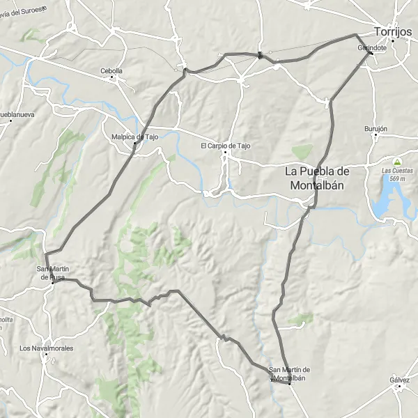
Embark on a challenging road cycling route to the scenic village of Carmena
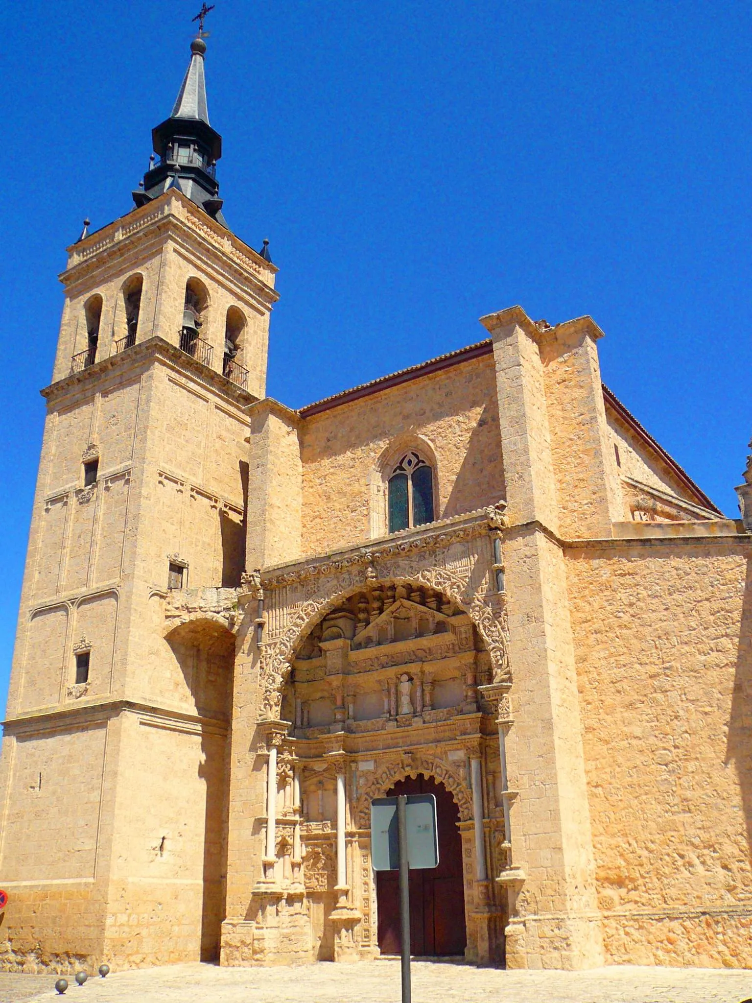
This road cycling route offers a thrilling challenge for experienced amateur cyclists seeking a strenuous ride. Conquer the demanding ascent to San Martín de Montalbán and be rewarded with breathtaking views of the surrounding landscapes. With a total distance of 105 kilometers and a significant ascent, this route is not for the faint-hearted. Delight in the picturesque beauty of the Castilla-La Mancha region as you journey towards the charming village of Carmena.
The Road of Scenic Delights
A scenic road route with breathtaking views
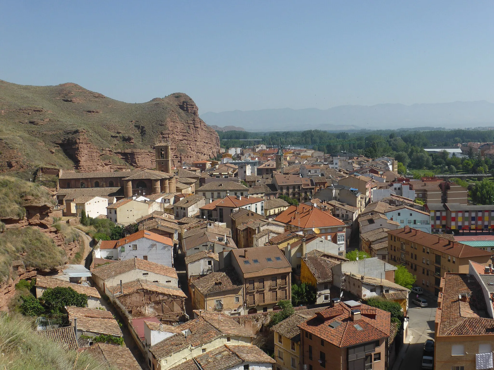
Embark on a breathtaking road cycling journey near Gerindote with a distance of 89 km and an ascent of 727 m. This route takes you through picturesque landscapes and offers stunning views at every turn. Start in Gerindote and make your way to Albarreal de Tajo, where you can soak in the beauty of the surrounding countryside. Climb the challenging Cerro Pelado for panoramic vistas, then continue to Noez and Burujón to witness the architectural wonders that dot the region. With its diverse scenery and rewarding climbs, this road route is sure to leave you in awe.

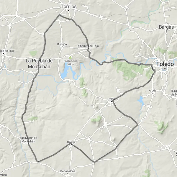
Embark on a scenic loop from La Puebla de Montalbán through delightful Spanish villages
Begin your cycling journey from the charming town of La Puebla de Montalbán, renowned for its historic architecture and cultural heritage. This road cycling route showcases the picturesque landscapes and serene rural atmosphere of the Castilla-La Mancha region. With moderate difficulty and a total distance of 110 kilometers, this loop is ideal for well-trained amateur cyclists seeking an exhilarating ride.

A thrilling gravel route filled with historic highlights
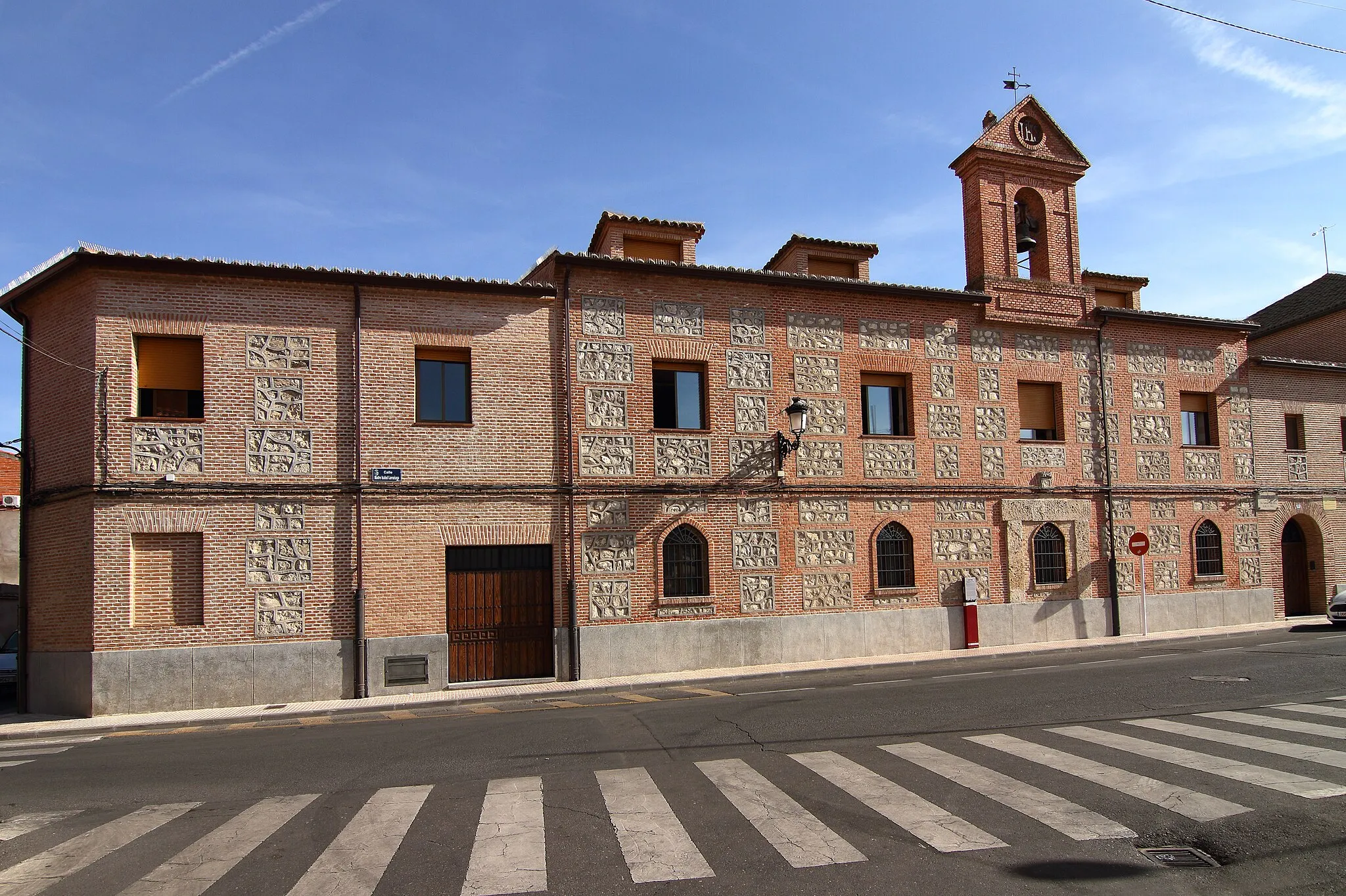
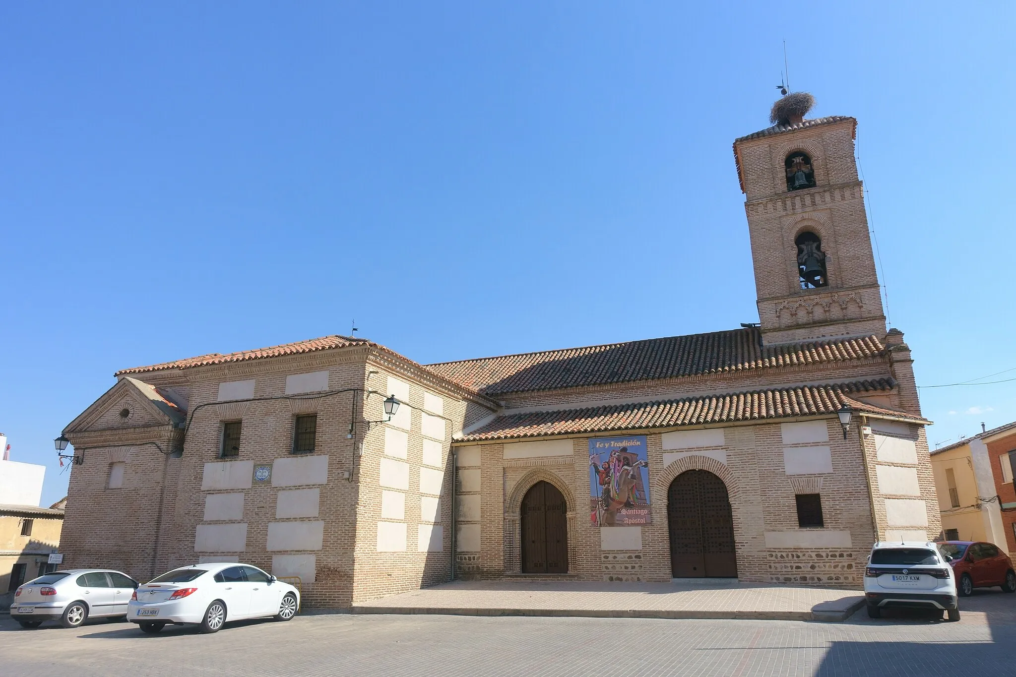
This gravel route near Gerindote takes you on a thrilling adventure filled with historic highlights. With a distance of 71 km and an ascent of 514 m, it offers a challenging yet rewarding experience. The scenic landscapes and remote gravel roads add to the excitement of the ride. Get ready to explore the ruins of Castillo de Villalba, visit the charming town of El Carpio de Tajo, and take in the picturesque views of Erustes. With its mix of nature and history, this route is a must for adventurous cyclists.
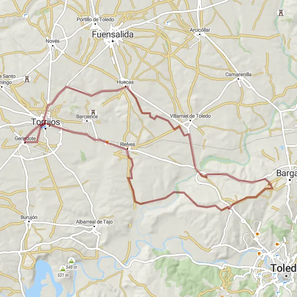
The Gravel Loop
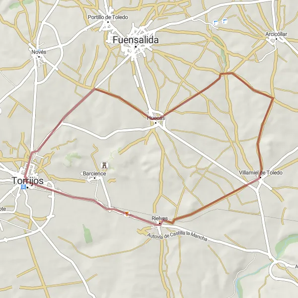
An adventurous gravel loop with scenic highlights
Immerse yourself in the natural beauty of Castilla-La Mancha with this 38 km gravel loop near Gerindote. With an ascent of 217 m, it offers a moderate level of difficulty and showcases some of the region's most scenic highlights. Begin in Torrijos and venture through the picturesque countryside, passing by the charming towns of Huecas and Villamiel de Toledo. Take a break at Rielves and soak in the tranquil atmosphere before completing the loop. This route is perfect for gravel enthusiasts looking to explore the stunning landscapes of the area.

A challenging gravel route with historic highlights
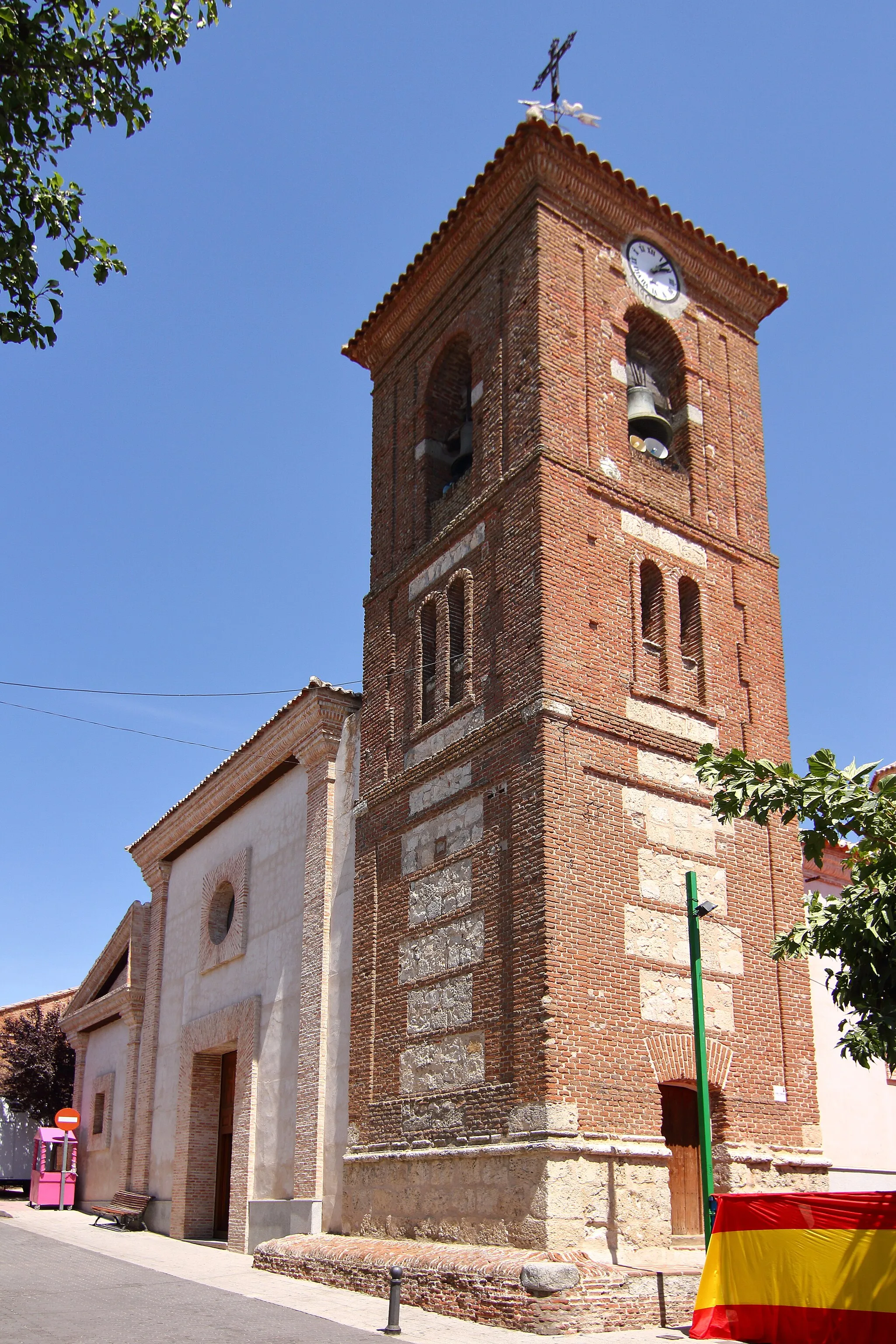
Prepare yourself for the ultimate gravel challenge near Gerindote with this 93 km route. With an ascent of 668 m, it offers a demanding yet rewarding experience for seasoned cyclists. Launch your adventure from Torrijos and navigate through the diverse landscapes, passing by Novés and La Torre de Esteban Hambrán along the way. Marvel at the rich history of Méntrida and explore the charming village of Huecas. Continue your journey through Las Ventas de Retamosa and Camarena before reaching the finish line. This route is a test of endurance and will leave you with unforgettable memories.
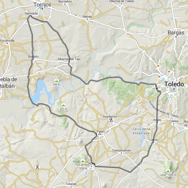
The Scenic Road Adventure

A scenic road route with historic highlights
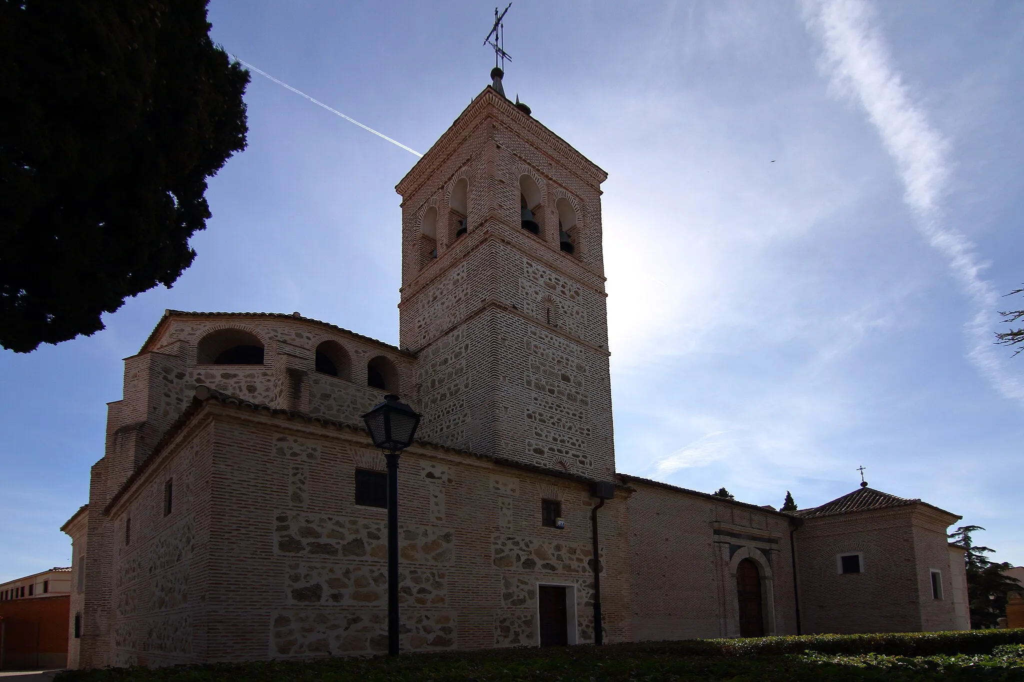
Embark on a scenic road cycling adventure near Gerindote with this 89 km route. With an ascent of 773 m, it offers a challenging yet rewarding experience for cyclists looking to explore the region's beauty. Begin in Gerindote and make your way to Albarreal de Tajo, where you can stop and admire the village's charming architecture. Conquer the challenging climb up Cerro Pelado and enjoy panoramic views of the surrounding countryside. Continue your journey to Casasbuenas, known for its historic buildings, before reaching the majestic Castillo de Polán. Finish your ride in Burujón, a town with a rich cultural heritage. This route combines scenic beauty with historical highlights.
Explore the rugged terrain of Castilla-La Mancha, passing through the scenic Cerro Pelado
Embark on this road cycling route starting from Gerindote and make your way through picturesque villages and rolling hills. The highlight of this route is the ascent to Cerro Pelado, where you can enjoy breathtaking views of the surrounding countryside. With a moderate difficulty level and an overall distance of 119 kilometers, this route is perfect for well-trained amateur cyclists seeking a challenging yet rewarding experience.
Embark on an off-road gravel adventure exploring the scenic landscapes surrounding Gerindote
Trade the asphalt roads for unpaved gravel paths and embark on a thrilling cycling adventure exploring the hidden gems of the Castilla-La Mancha region. With a distance of 65 kilometers and a moderate ascent, this gravel route provides a perfect balance of challenge and enjoyment. As you cycle through the countryside, marvel at the unspoiled beauty, and feel the adrenaline rush as you conquer the rugged terrain of this off-road escapade.
Cycling routes nearby:


Nearby regions: