Santa Olalla Gravel Adventure
A gravel cycling route starting from Santa Olalla
Embark on a thrilling gravel adventure from Santa Olalla to Malpica de Tajo.
Map
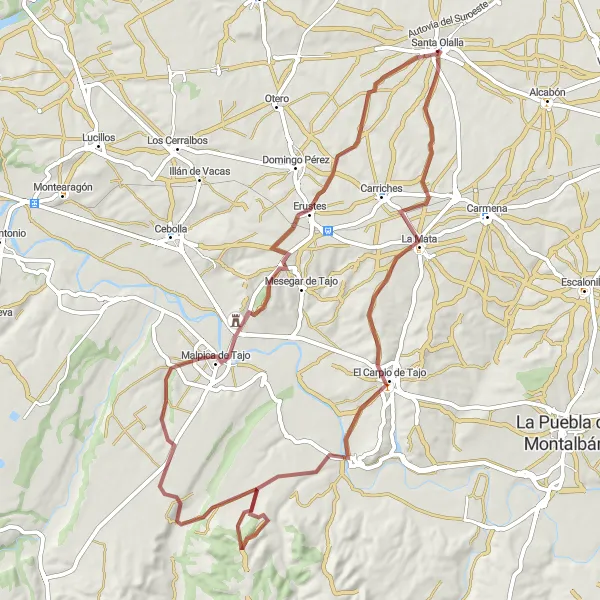
Get ready for an exciting gravel adventure from Santa Olalla to Malpica de Tajo. This scenic route covers a distance of 70 kilometers with a total ascent of 693 meters. Along the way, you'll experience the thrill of off-road cycling and discover hidden gems such as La Mata, a picturesque village with traditional charm. Don't miss El Carpio de Tajo, a historic town known for its medieval castle and rich cultural heritage. With its moderate difficulty and scenic beauty, this gravel route offers a unique cycling experience in Castilla-La Mancha.
gravel
70 km
693 m
Tough
Route profile
Highlights on the route
0 km
0 km
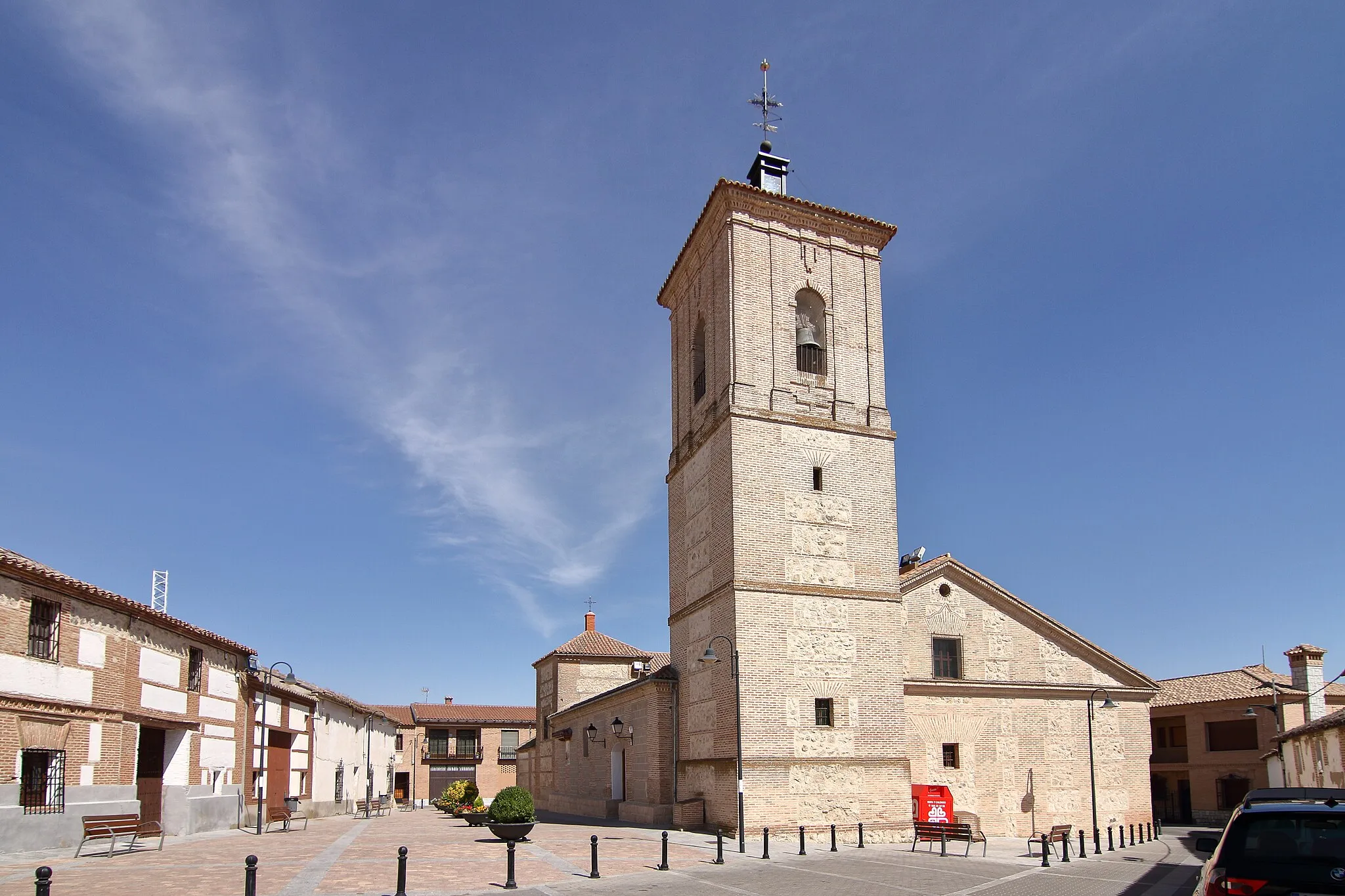
Start: Santa Olalla Village centerSanta Olalla: Tranquil landscapes and gravel routes.
Santa Olalla is a town located in the Castilla-La Mancha region of Spain. For road cyclists, the locality offers scenic routes through picturesque landscapes, including olive groves and vineyards. Gravel cyclists can explore the nearby Sierra de San Vicente, with its rocky paths and breathtaking views. Santa Olalla is a peaceful destination for cyclists looking to escape the hustle and bustle of larger towns while enjoying the tranquility of the rural Castilla-La Mancha.10 km
10 km
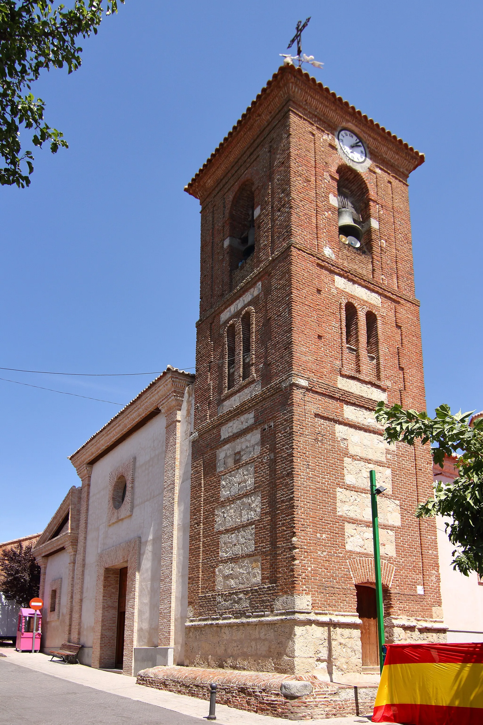
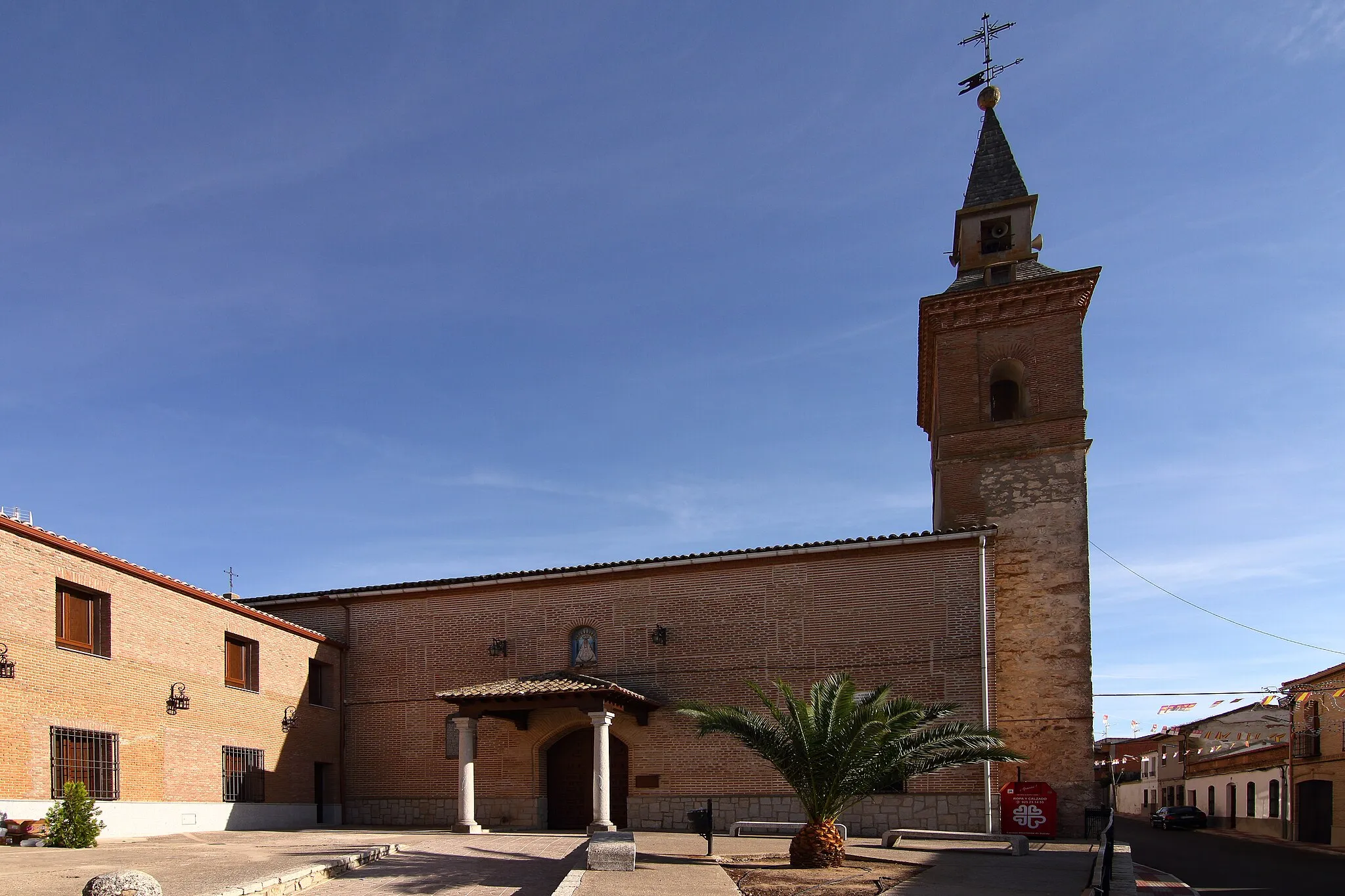
La MataVillageLa Mata is a charming village with quaint houses and a peaceful atmosphere.
18 km
18 km
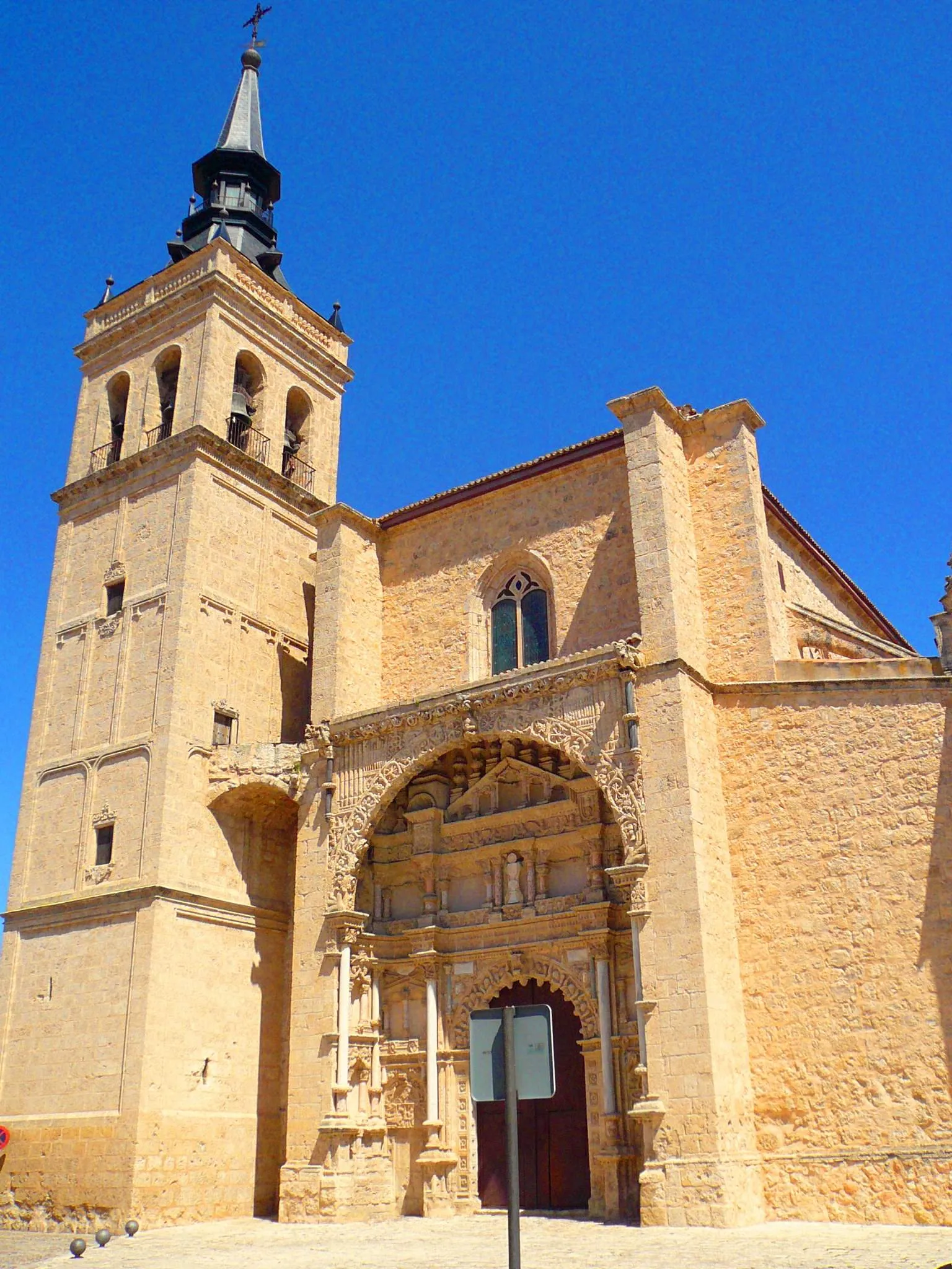
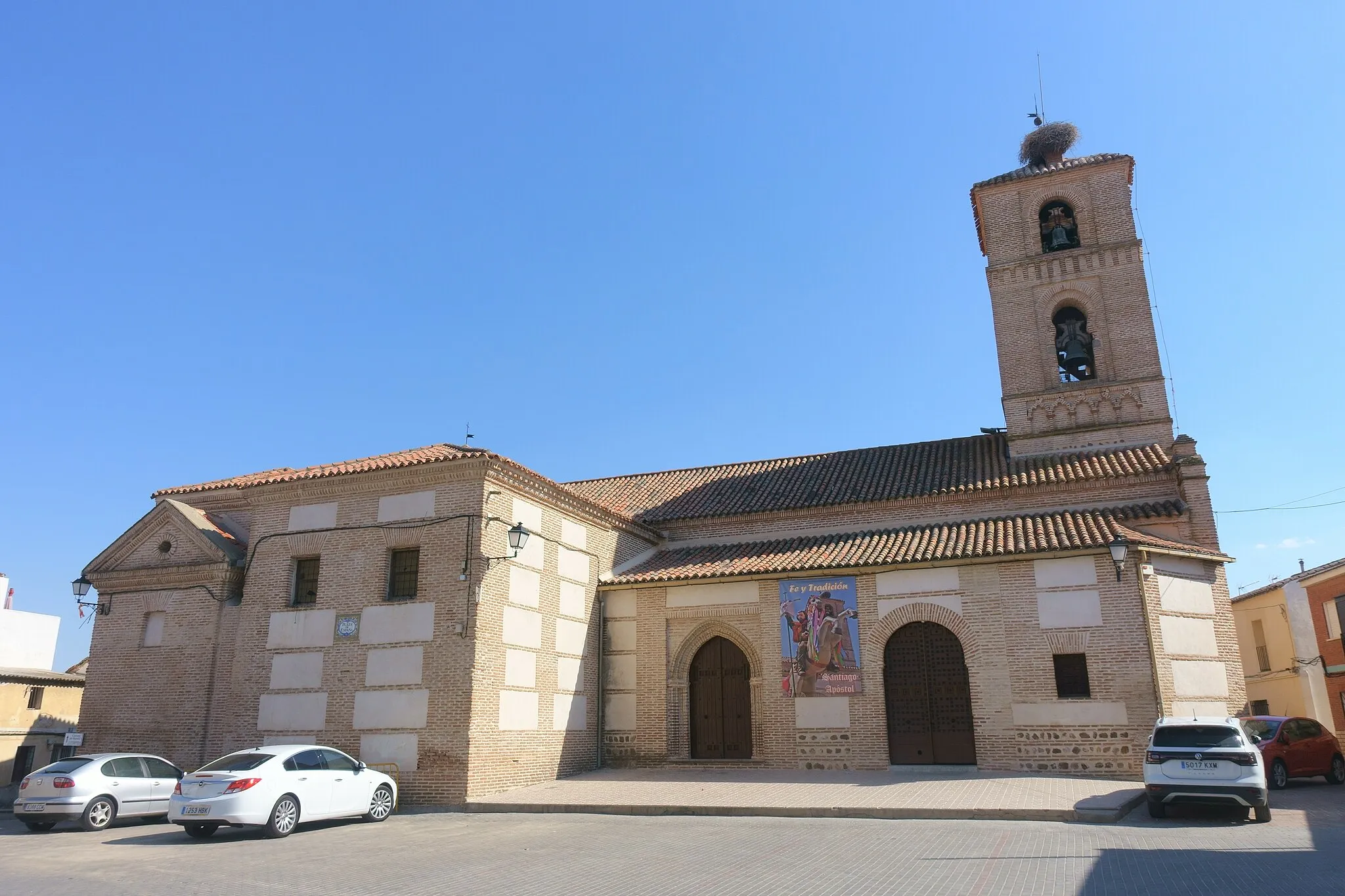
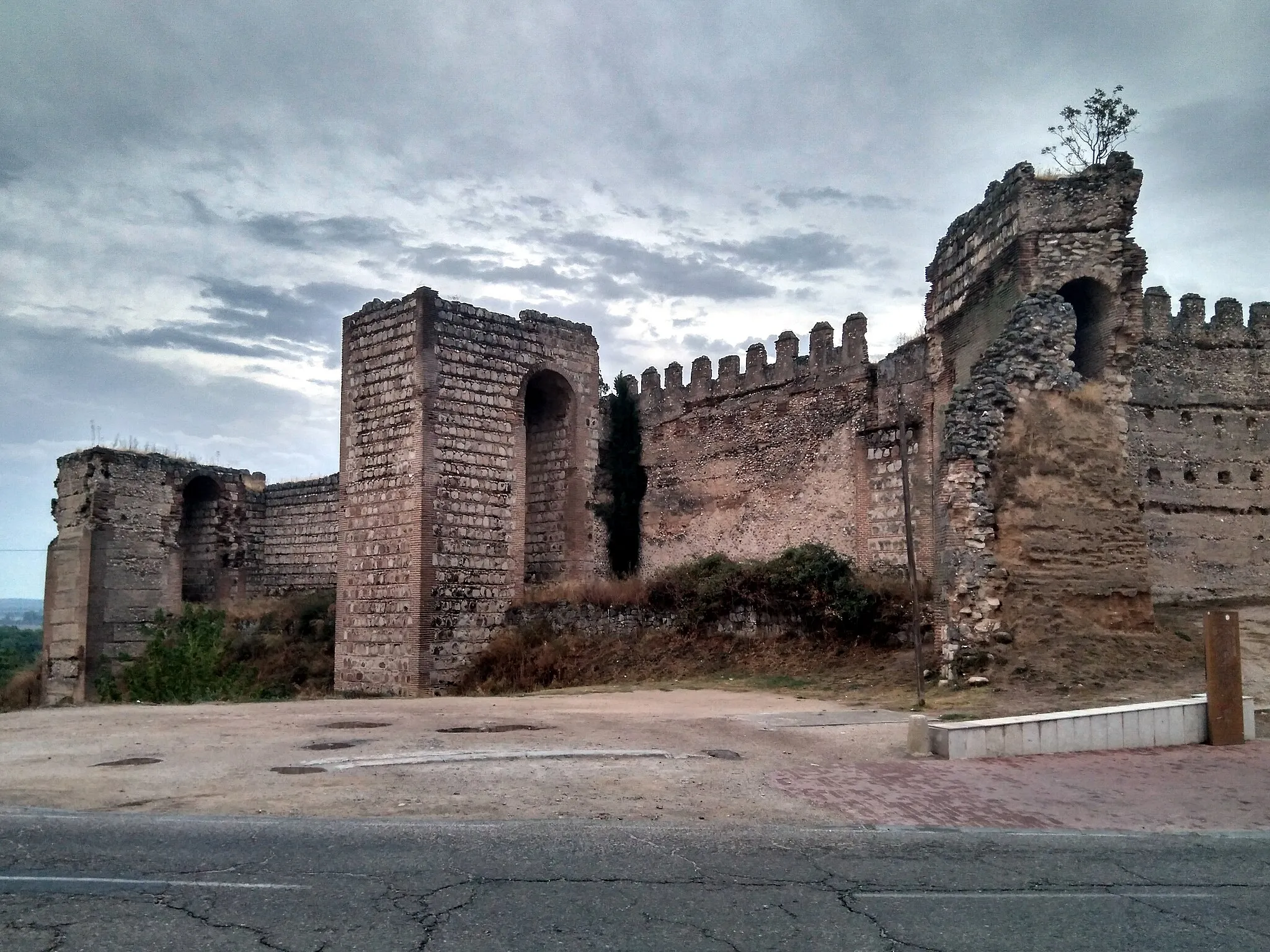
El Carpio de TajoVillageEl Carpio de Tajo is known for its impressive medieval castle and traditional Spanish architecture.
49 km
49 km
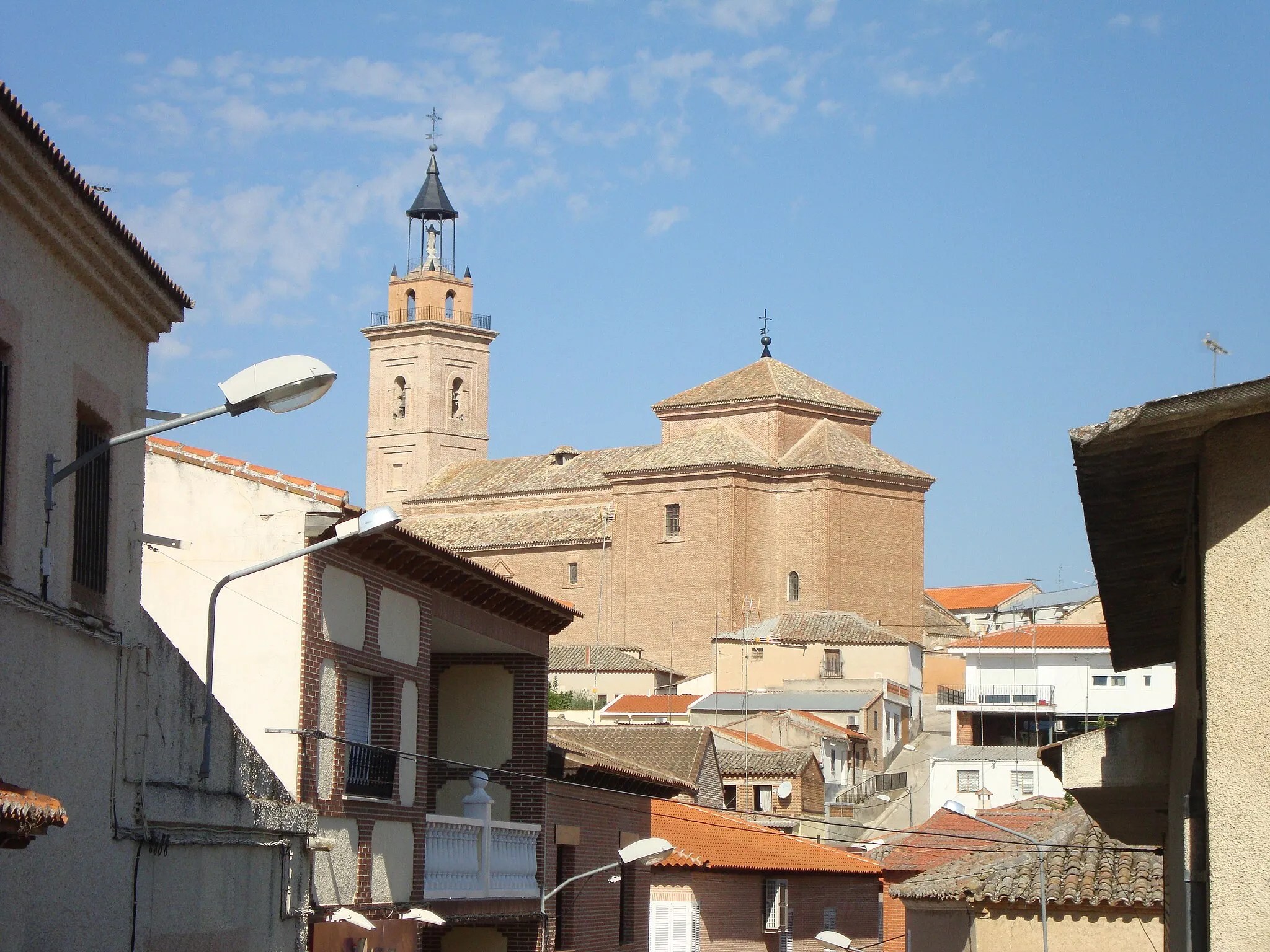
Malpica de TajoVillageMalpica de Tajo is a small village with stunning views of the Tagus River and surrounding countryside.
60 km
60 km
ErustesVillageErustes is a tranquil village with charming streets and a relaxed atmosphere.
70 km
70 km
Finish: Santa Olalla Village centerSanta Olalla: Tranquil landscapes and gravel routes.
Cycling routes from Santa Olalla:
Road Cycling Adventure to Escalona and Alcabón Road Cycling Tour: Alcabón to Burujón Gravel Ride through Domingo Pérez and Los Cerralbos Scenic Gravel Ride to Cebolla and Cazalegas Santa Olalla Gravel Adventure Gravel Adventure: Novés to Alcabón Cycling Through Toledo and Las Cuestas Quismondo and Santa Cruz del Retamar Gravel Adventure Santa Olalla to Los Cerralbos Santa Olalla to Carmena
Cycling routes nearby: