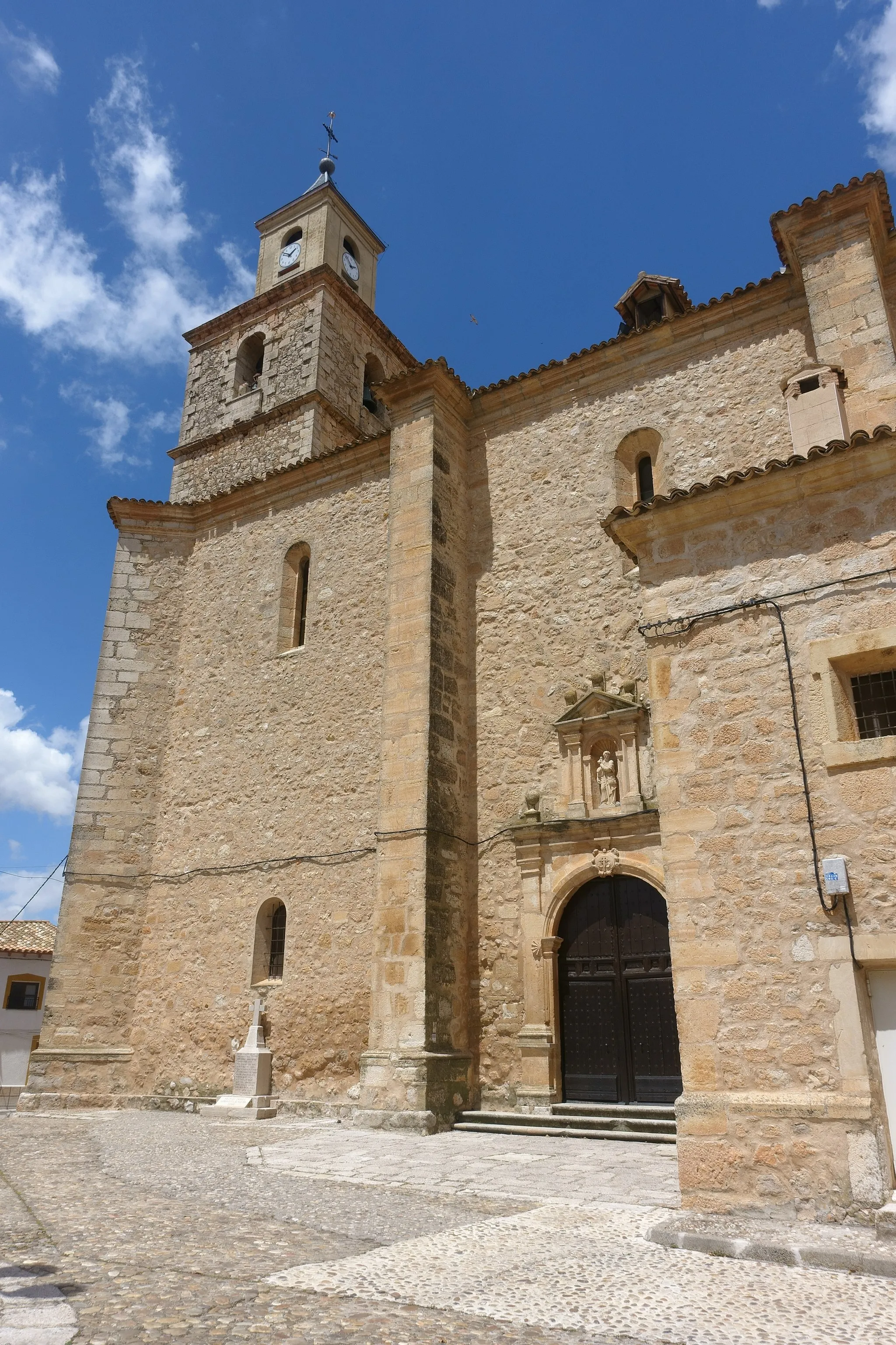
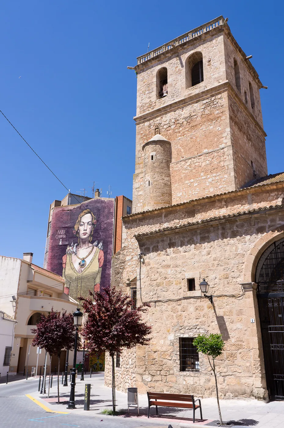
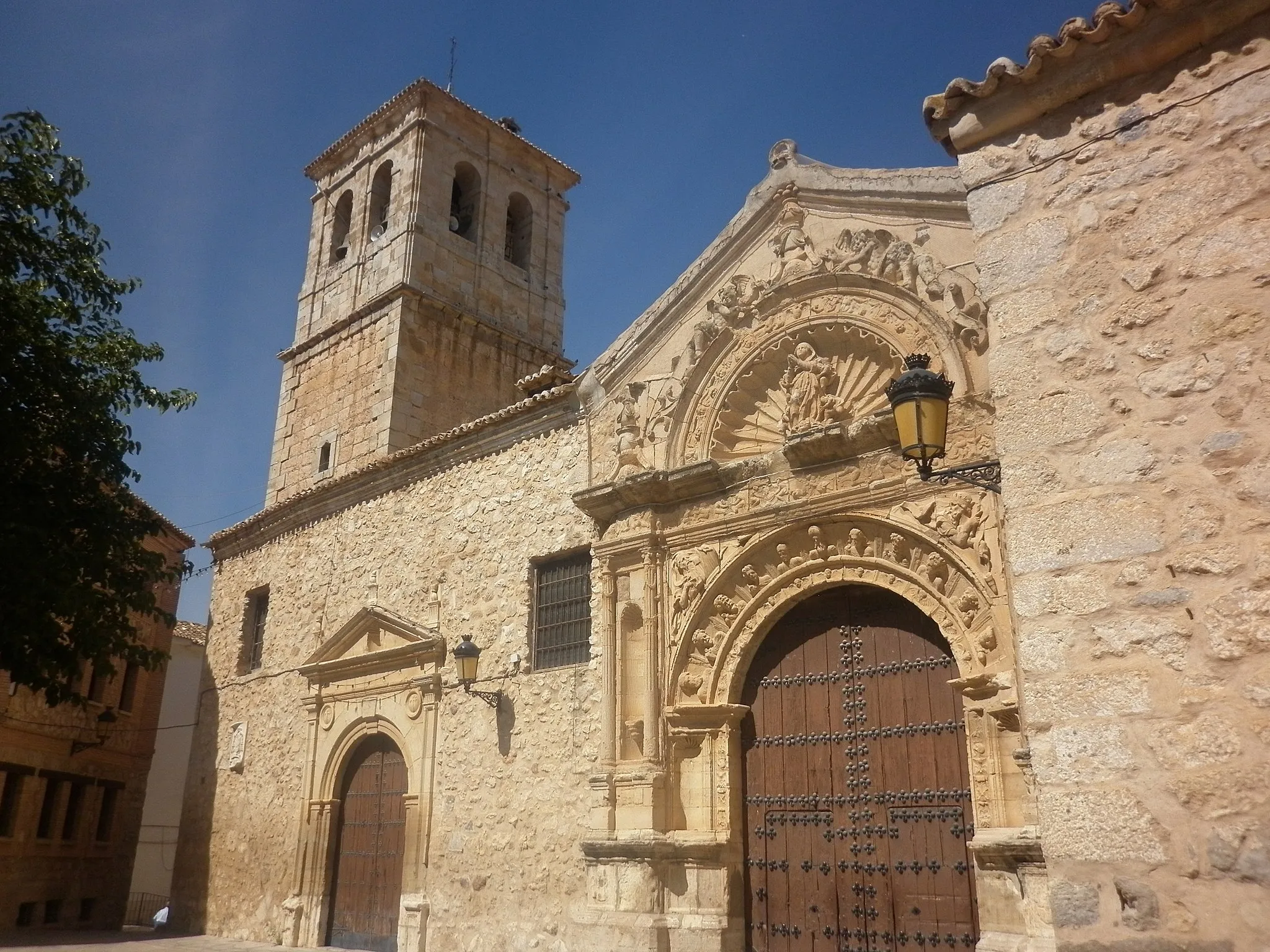
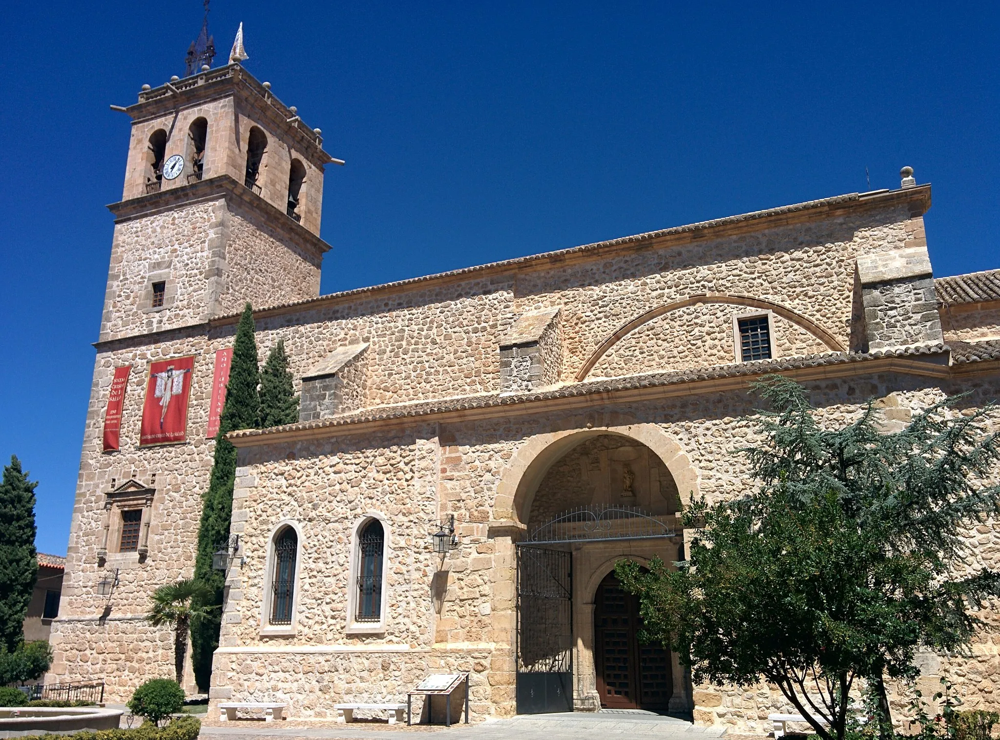
Exploring rich history and enjoying scenic views in Villamayor de Santiago
Cycling routes from Villamayor de Santiago
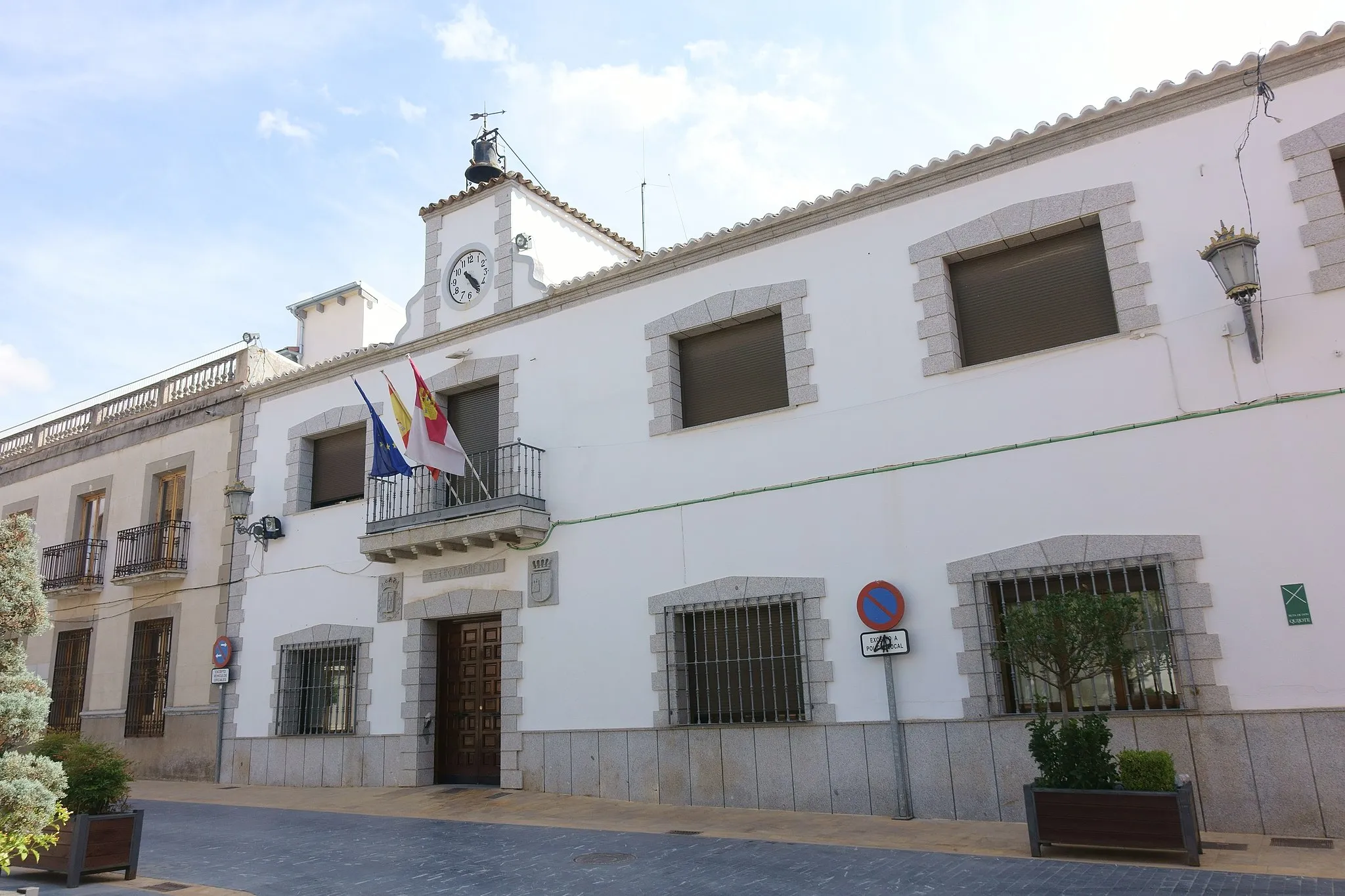
Villamayor de Santiago, located in Castilla-La Mancha, Spain, is a cyclist-friendly locality with a mix of stunning landscapes and centuries-old heritage. The region offers a network of well-paved roads surrounded by beautiful countryside views, making it ideal for leisurely rides and exploration. Cyclists can discover the Spanish heartland, dotted with traditional villages and centuries-old castles. Villamayor de Santiago's proximity to notable routes like Ruta del Quijote adds to its appeal for cycling enthusiasts. With its scenic beauty and cultural richness, Villamayor de Santiago earns a cycling rating of 4.
Experience a scenic road journey to the idyllic village of Fuente de Pedro Naharro
This road route offers stunning scenic views and visits historical towns and villages, with Fuente de Pedro Naharro as the main highlight. The route spans a distance of 122 kilometers with an elevation gain of 659 meters, making it suitable for well-trained amateur cyclists. The difficulty of this route is rated at 3 out of 5, while the epicness is rated at 3 out of 5.

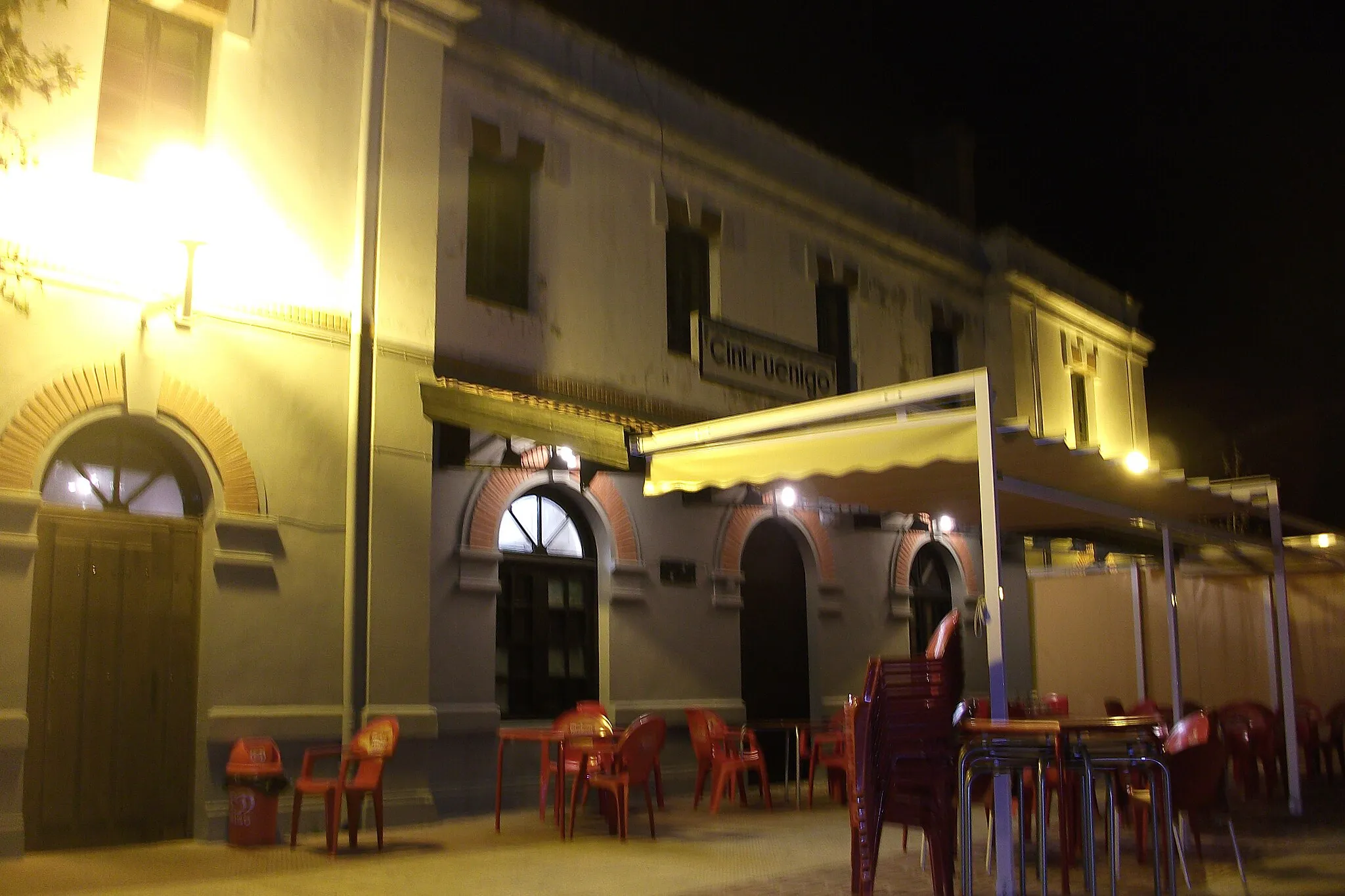
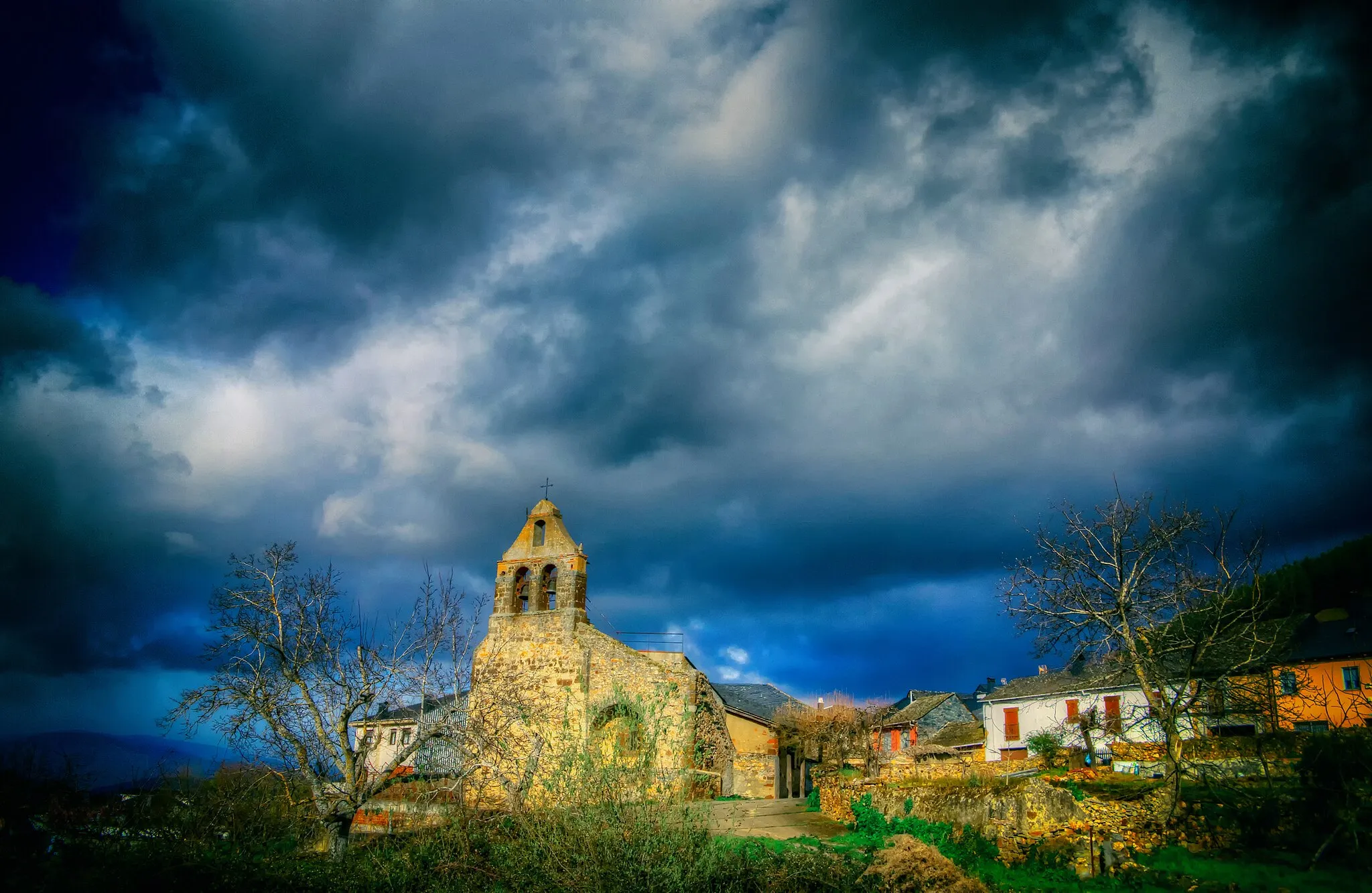
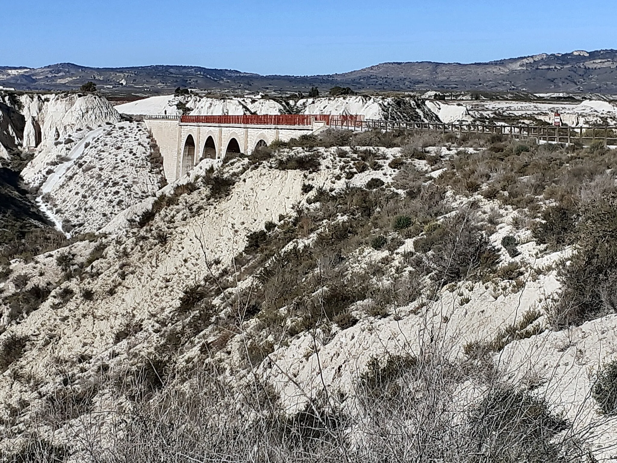
Venture into the mystical surroundings of Hontanaya
Valley of Crosses is a gravel cycling route that spans 44 kilometers with an ascent of 316 meters. Starting from Villamayor de Santiago, this route takes you through the scenic landscapes of Castilla-La Mancha. Hontanaya, known for its mystical and intriguing history, is a highlight of this route. As you pass through Los Hinojosos, you'll have the opportunity to admire the beauty of this charming village. Cerro de la Cruz is another interesting spot along the route, offering panoramic views of the surrounding countryside. Overall, Valley of Crosses provides a unique and mystical experience for gravel cycling enthusiasts.
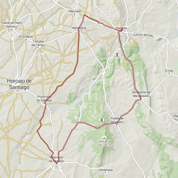
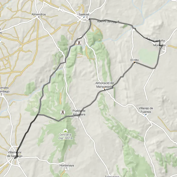
Embark on an exciting gravel journey to reach the hidden gem of Almonacid del Marquesado
This challenging gravel route offers a thrilling adventure through diverse landscapes and historical towns, with the highlight of Almonacid del Marquesado. With an ascent of 659 meters over a distance of 69 kilometers, this route is suitable for experienced cyclists. The epicness of this route is rated at 4 out of 5.
Route of Windmills
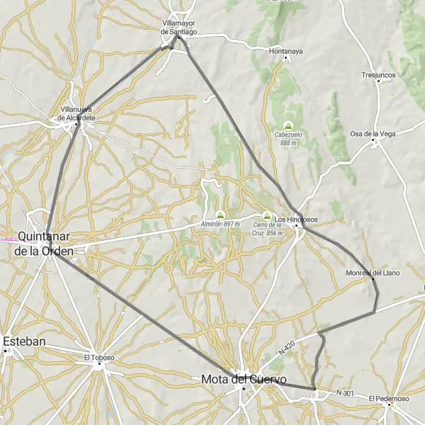
Ride through the land of Don Quixote
The Route of Windmills is a road cycling route that covers a distance of 79 kilometers with an ascent of 414 meters. As you cycle through the region near Villamayor de Santiago, you'll witness the iconic windmills that inspired Miguel de Cervantes' famous novel, Don Quixote. The route will take you through Los Hinojosos, where you can admire the majestic windmills up close. Continue your journey to Monreal del Llano, a small village with a rich cultural heritage. Make a stop at Mota del Cuervo to explore its picturesque streets and traditional architecture. Quintanar de la Orden and Villanueva de Alcardete are also highlights on this route, offering a glimpse into the history and traditions of the region.
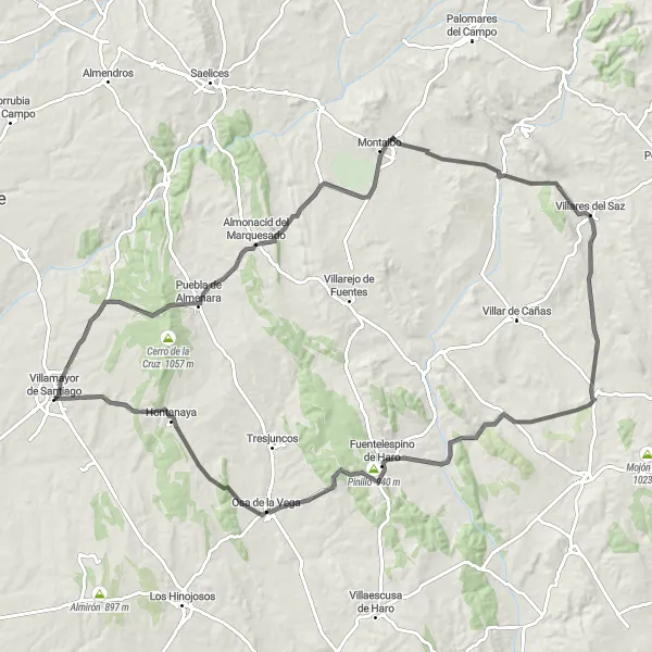
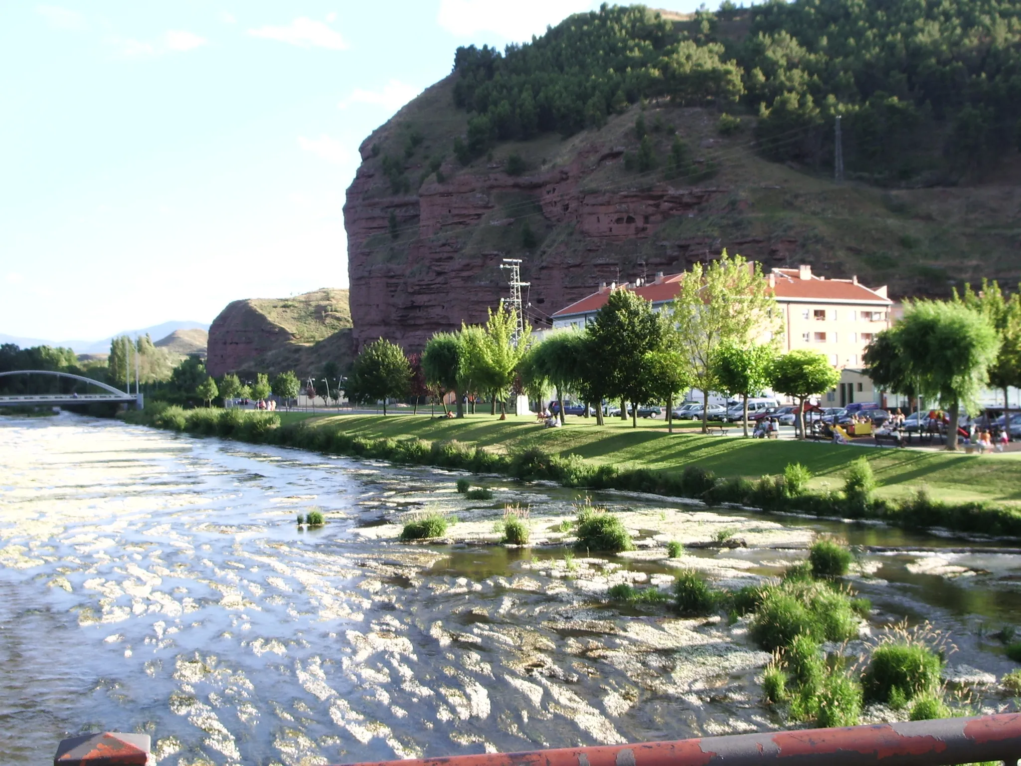
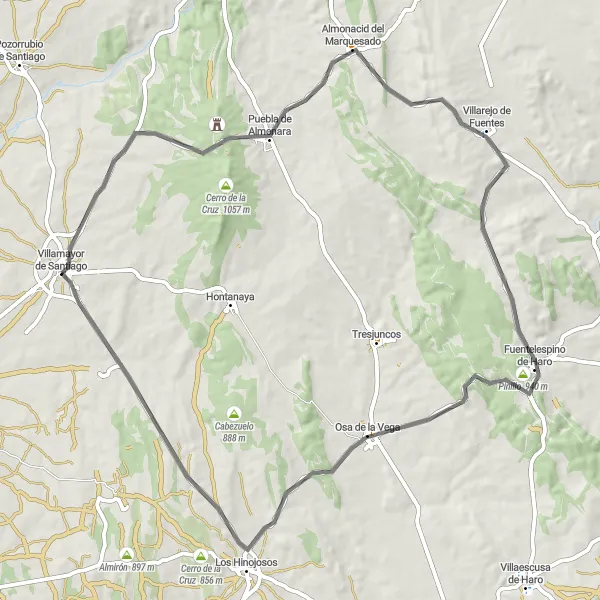
Venture into the mountainous landscape of Castilla-La Mancha
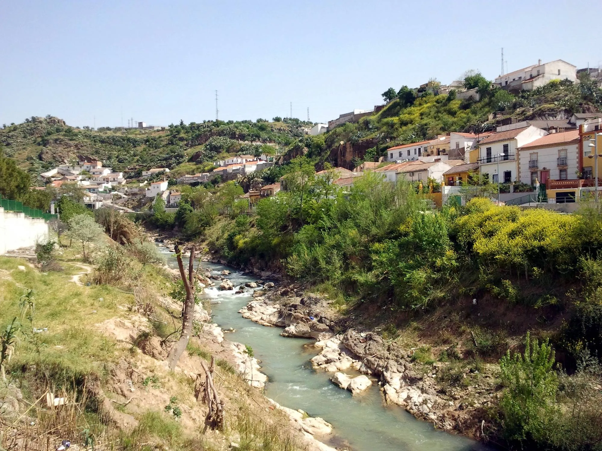
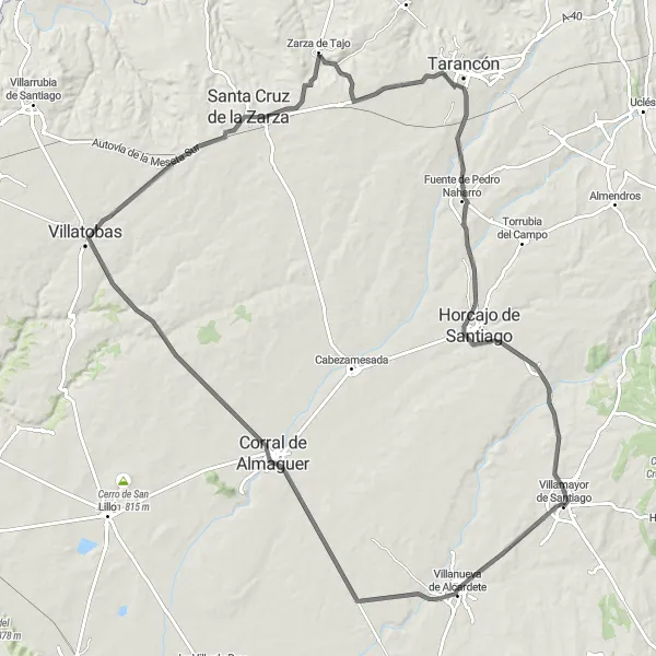
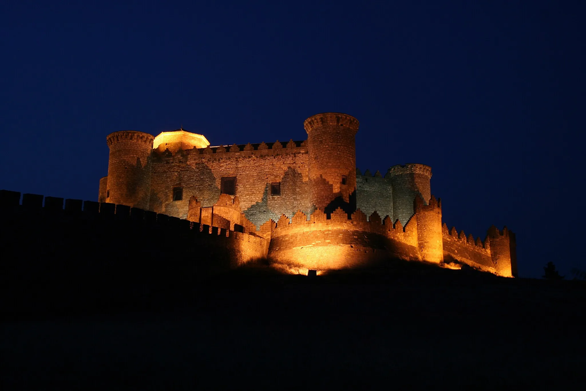
Journey through the Serranía Manchega is a challenging road cycling route that spans 110 kilometers with a total ascent of 1033 meters. This route offers a diverse terrain, taking you through picturesque villages and stunning natural landscapes. Starting from Villamayor de Santiago, you'll pass through Puebla de Almenara, a village known for its preserved medieval architecture. As you continue, make a stop at El Hito, where you can visit the Archaeological Park and learn about the ancient history of the region. Villares del Saz offers a charming mix of history and nature, with its medieval castle and surrounding countryside. Alconchel de la Estrella, Fuentelespino de Haro, Pinillo, Osa de la Vega, and Hontanaya are also highlights on this route, each offering their own unique attractions and natural beauty.
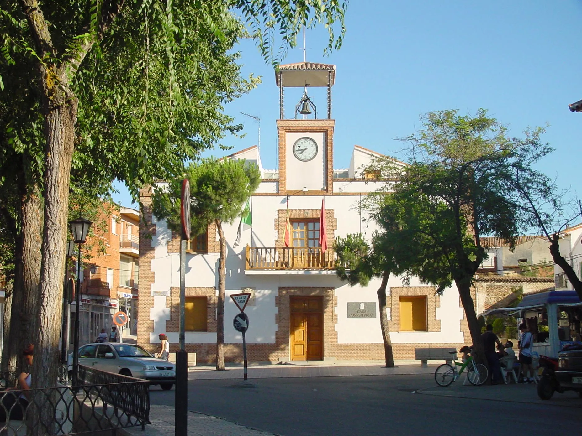
Explore the picturesque landscapes on this road route to Pozorrubio de Santiago
This road route offers cyclists the chance to enjoy idyllic landscapes and visit the historical town of Pozorrubio de Santiago. With a total ascent of 243 meters over a distance of 62 kilometers, this route is suitable for all levels of cyclists. The epicness of this route is rated at 2 out of 5.
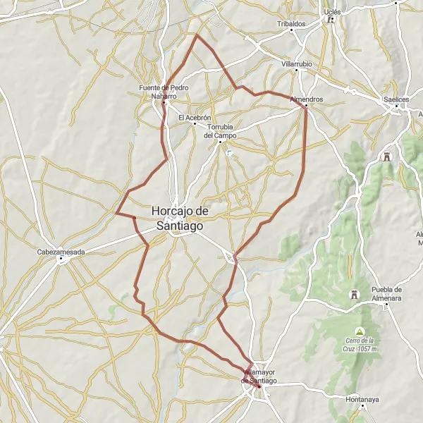
Ride through the gravel roads to discover the enchantment of Fuente de Pedro Naharro
This gravel route takes you through picturesque landscapes and charming villages, including the highlight of Fuente de Pedro Naharro. The route offers a moderate level of difficulty with a total ascent of 399 meters over a distance of 75 kilometers. It is suitable for well-trained amateur cyclists. The epicness of this route is rated at 3 out of 5.
Roman Heritage Route
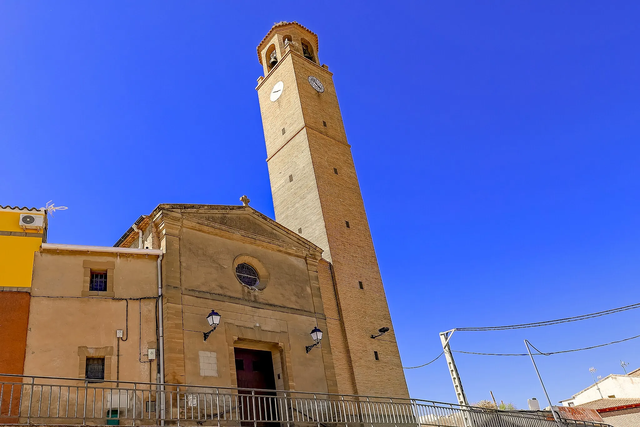
Discover the lasting legacy of the Romans in Segobriga
Roman Heritage Route is a road cycling route that covers a distance of 74 kilometers with an ascent of 749 meters. As you cycle through the region near Villamayor de Santiago, you'll have the opportunity to explore the rich Roman heritage of Toletum, now modern-day Toledo. The ancient city of Segobriga is a highlight of this route, boasting impressive archaeological remains, including a theater and an amphitheater. Villas Viejas is another important site along the route, with its preserved Roman villa and mosaics. Puebla de Almenara offers a glimpse into the Roman past with its archaeological site and museum. Overall, Roman Heritage Route is a journey through history, showcasing the lasting Roman legacy in the region.
Embark on a challenging road journey to reach the enchanting town of Almonacid del Marquesado
This challenging road route takes cyclists through diverse landscapes and historic towns, with the highlight of Almonacid del Marquesado. With a total ascent of 749 meters over a distance of 75 kilometers, this route is suitable for experienced cyclists. The epicness of this route is rated at 4 out of 5.

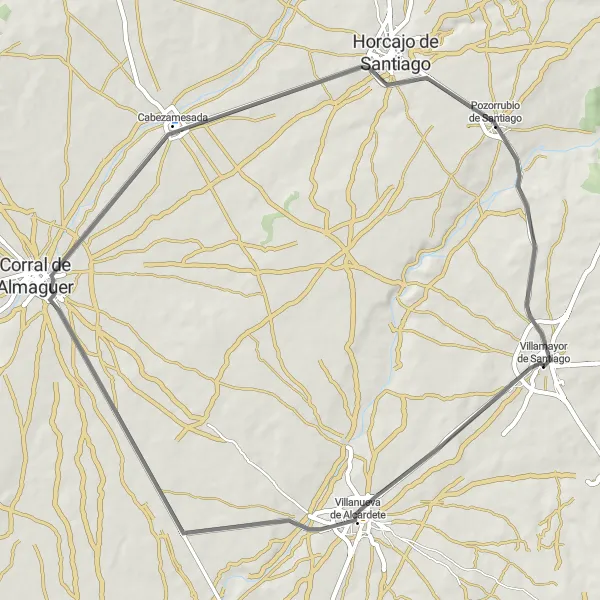
Explore the gravel roads of Villamayor de Santiago
Caminos del Viento is a picturesque gravel route with a total ascent of 354 meters and a distance of 76 kilometers. Starting from Villamayor de Santiago, you'll be surrounded by beautiful landscapes and rural charm. The route takes you through the small town of Cabezamesada, known for its unique architecture. Along the way, you'll also pass through Fuente de Pedro Naharro, known for its historic fountain that has been a gathering spot for locals for centuries. Overall, Caminos del Viento offers a pleasant cycling experience through gravel paths in the heart of Castilla-La Mancha.
Cycling routes nearby:

Nearby regions: