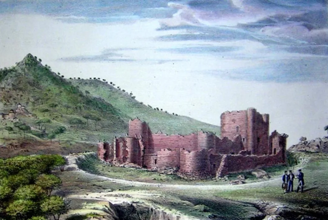
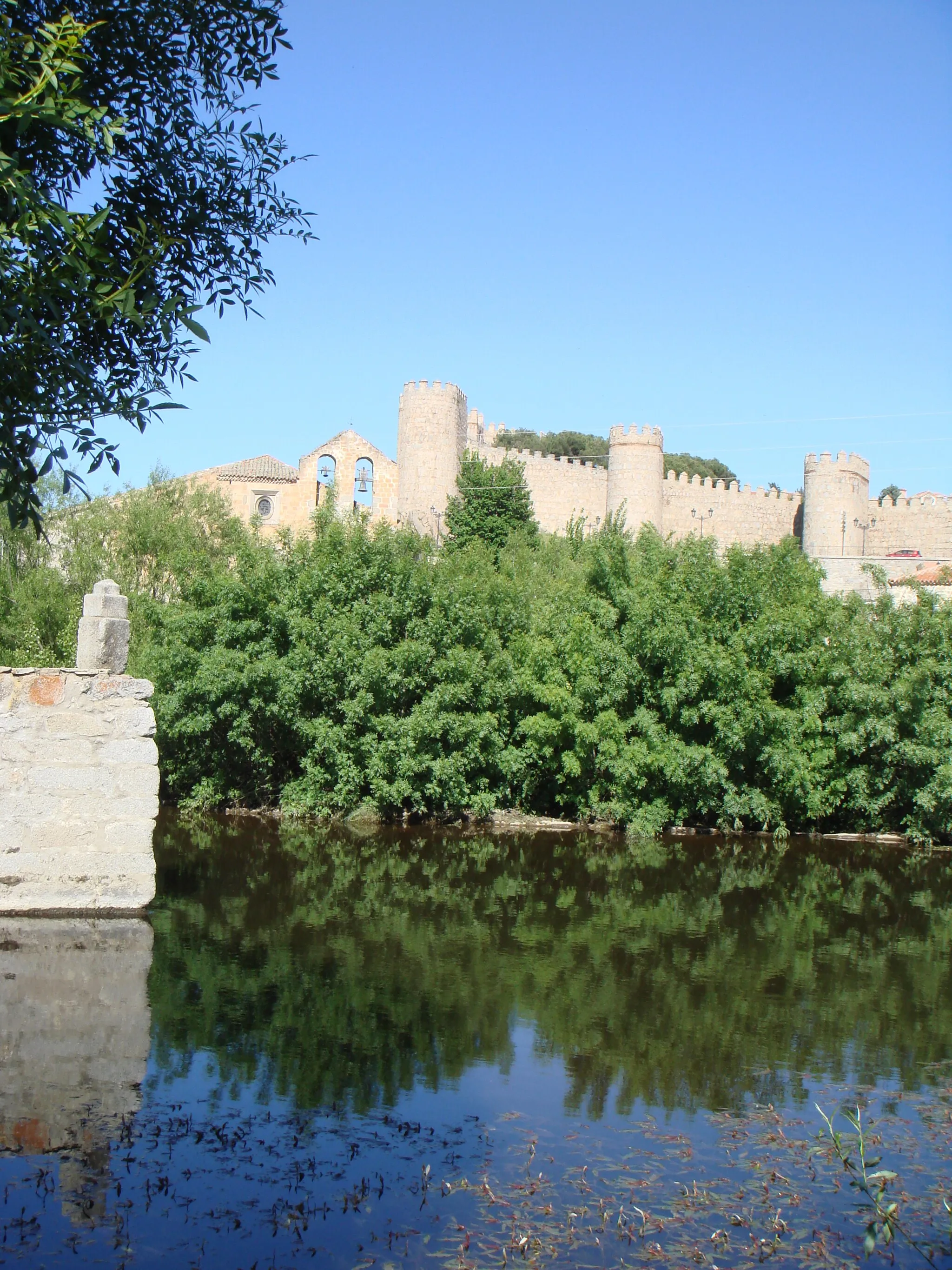
Scenic routes and challenging climbs in Castilla y León, Spain
Cycling routes from Navaluenga
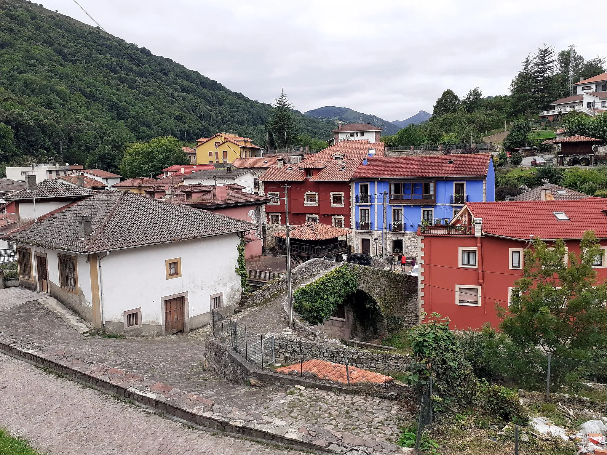
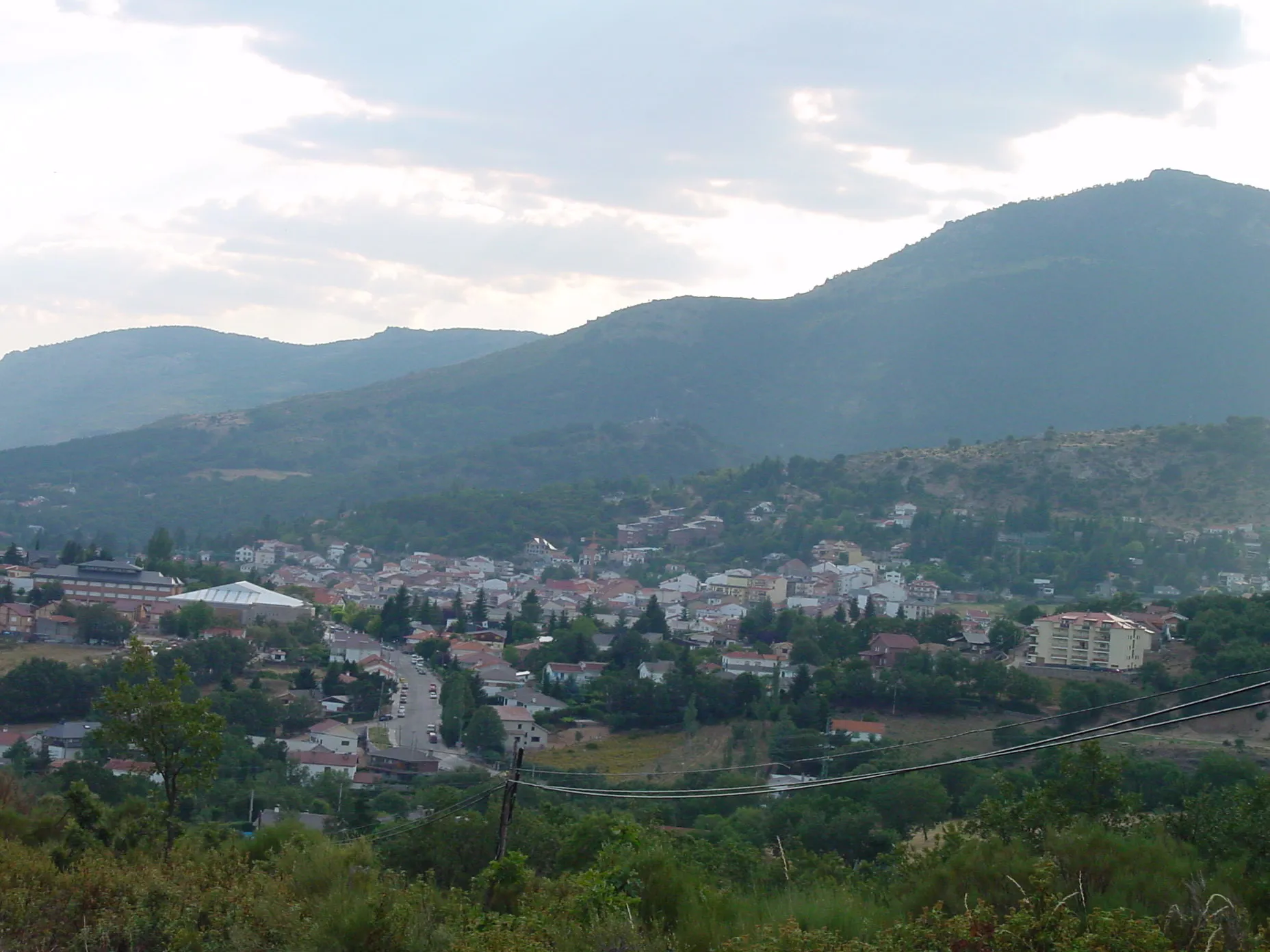
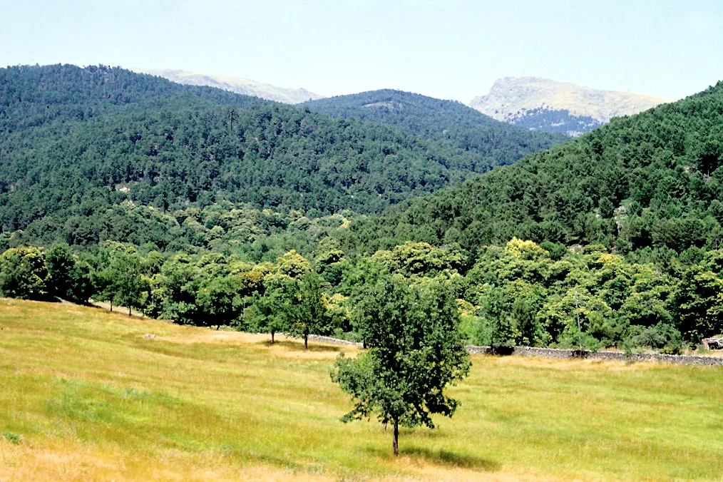
Navaluenga is a town located in the region of Castilla y León, Spain. For road and gravel cyclists, Navaluenga offers a variety of cycling routes with scenic views of the surrounding countryside. The area is known for its challenging climbs, including the famous Puerto del Pico. Cyclists can also enjoy the tranquility of the nearby reservoir, perfect for a relaxing ride. Overall, Navaluenga provides a good cycling experience with its scenic routes and challenging climbs.
Navaluenga Loop
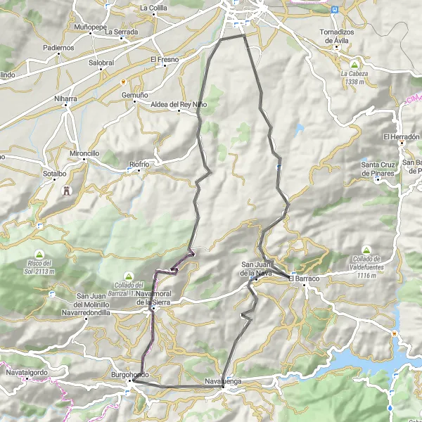
A scenic road cycling route with a challenging ascent
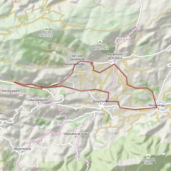
The Navaluenga Loop is a picturesque cycling route in Castilla y León, Spain. It offers stunning views of the surrounding mountains and countryside. With a total distance of 73 kilometers and an ascent of 1318 meters, this route is suitable for experienced cyclists. The highlight of the route is the town of Navaluenga, which provides a charming starting point for the journey. Other notable spots along the route include San Juan de la Nava and Pico de los Judíos. Overall, the Navaluenga Loop is a challenging and rewarding cycling experience.
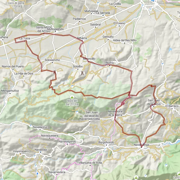
Discover the natural wonders of the Sierra de Gredos on this gravel cycling route.
Embark on a 111km gravel ride through picturesque hamlets, challenging ascents, and stunning natural landscapes in the Sierra de Gredos. With a total ascent of 1924m, this route is perfect for adventurous cyclists looking to explore the region. Highlights include Navalmoral de la Sierra, Pico de los Pozuelos, Risco del Sol, Robledillo, Niharra, Riofrío, and San Juan de la Nava.

An exhilarating ride through picturesque landscapes and challenging terrains
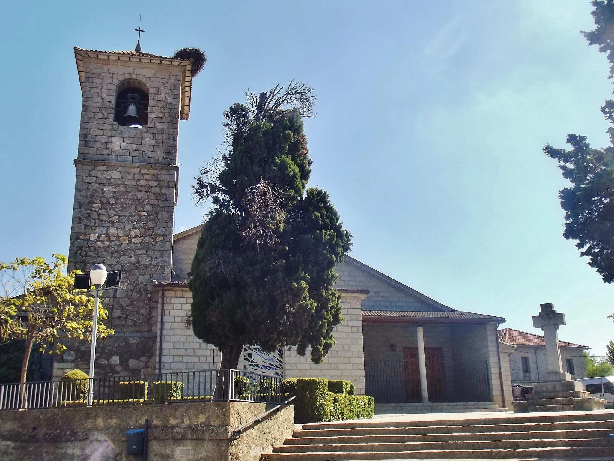
Embark on this road cycling route that starts from Navaluenga and takes you through the beautiful towns of Navalmoral de la Sierra, Pico de los Pozuelos, Canto Mochuelo, and San Juan de la Nava. With a total distance of 73km and an ascent of 1329m, this route offers breathtaking views and is suitable for moderately experienced cyclists. The highlights of this route include Navalmoral de la Sierra, a charming town known for its traditional architecture and peaceful atmosphere, and Pico de los Pozuelos, a stunning mountain peak offering panoramic vistas of the surrounding countryside.
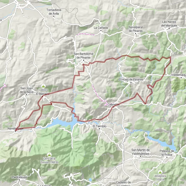
A challenging gravel route with a thrilling highlight at the Puente de la Gaznata.
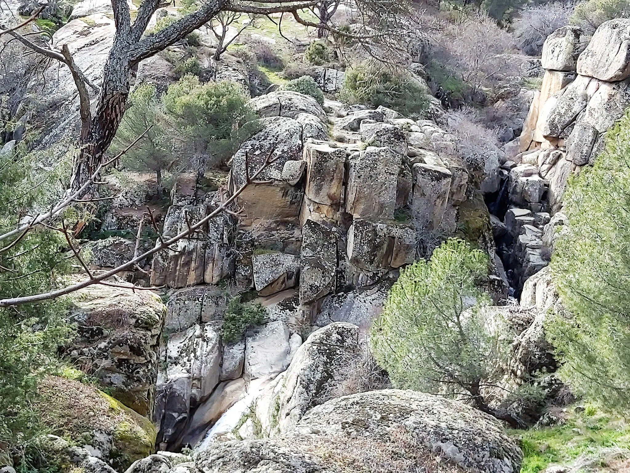
Embark on a gravel adventure from Navaluenga to the Bridge of Gaznata. This 105km route offers picturesque landscapes and a challenging ascent of 2183m. The highlight of the ride is the iconic Puente de la Gaznata, located at the 85km mark. Discover the beauty of San Bartolomé de Pinares, El Morrón, El Tejar, Cebreros, and enjoy a refreshing break at the serene Embalse de El Burguillo.
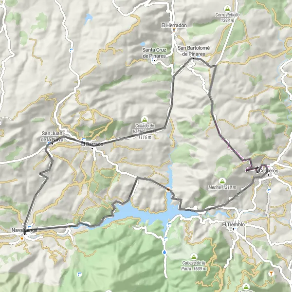
Cycling around the scenic Burguillo Lake
The Burguillo Lake Loop provides a scenic and varied cycling experience in the beautiful region of Castilla y León, Spain. With a total distance of 75 km and an ascent of 1270 meters, it offers a moderate level of difficulty suitable for well-trained amateur cyclists. The route follows roads around the lake, offering stunning views of the water and surrounding countryside. Along the way, cyclists will encounter charming villages such as San Juan de la Nava, San Bartolomé de Pinares, Umbría, Cebreros, and Casa del Barquero. The highlights of this route include the picturesque Embalse de El Burguillo, a reservoir renowned for its natural beauty.
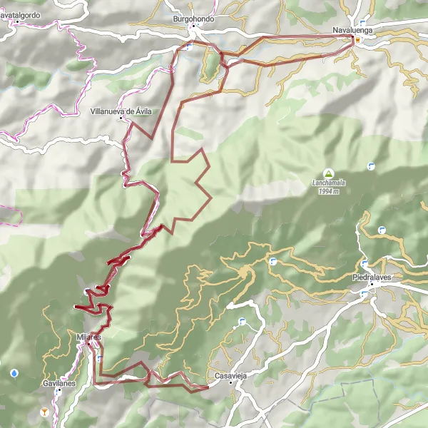
A scenic gravel ride through picturesque landscapes
Escape the hustle and bustle of the city with this scenic gravel ride to Villanueva de Ávila. With an ascent of 2368 meters and a distance of 90 kilometers, this route is suitable for experienced gravel bikers seeking adventure. Along the way, you'll encounter stunning natural landscapes, including Cerro de la Cabeza and Mogote. The highlight of the route is Puente Nueva, a historic bridge that crosses a picturesque river. Overall, the Scenic Gravel Ride to Villanueva de Ávila is a must-do for gravel enthusiasts who appreciate the beauty of nature.

Embark on a breathtaking road cycling journey through stunning landscapes.
Experience the beauty of Castilla y León on this 141km road cycling tour. With a challenging ascent of 2219m, this epic route encompasses picturesque towns, historical landmarks, and majestic scenery. Highlights along the way include San Juan de la Nava, Santa Cruz de Pinares, Navalperal de Pinares, Valdemaqueda, Cerro de San Pedro, Almenara, Monasterio de Santa María la Real de Valdeiglesias, El Tiemblo, Embalse de El Burguillo, Puente de la Gaznata, and Casa del Barquero.
Discover the natural treasures of Burgohondo on this scenic gravel route.
This 45km gravel route showcases the natural beauty of Burgohondo and its surroundings. With a leisurely ascent of 648m, this ride allows cyclists to immerse themselves in the tranquility of the region. Highlights include Burgohondo, Cerro del Madroño, Cerro de la Mesa, Navalmoral de la Sierra, and Navaluenga.

A challenging road cycling tour through diverse landscapes
Embark on a journey through diverse landscapes with the Mountains and Valleys Road Cycling Tour. With an ascent of 1991 meters and a distance of 114 kilometers, this route offers a mix of challenging climbs and breathtaking descents. Along the way, you'll pass by picturesque villages like San Juan de la Nava and Tornadizos de Ávila. The highlight of the route is Dolmen El Prado de las Cruces, an ancient megalithic monument surrounded by scenic beauty. Other notable spots include Cerro Rebollo and San Bartolomé de Pinares. Overall, the Mountains and Valleys Road Cycling Tour is a demanding but rewarding adventure for experienced cyclists.

A challenging road cycling route with breathtaking mountain scenery
If you're up for a challenging adventure, the Mountain Challenge Around Navaluenga is the perfect route for you. With an ascent of 2212 meters and a total distance of 135 kilometers, this road cycling route is not for the faint-hearted. Along the way, you'll encounter picturesque villages like San Juan de la Nava and Navalperal de Pinares. The highlight of the route is Valdemaqueda, a mountain village with stunning vistas. Other notable spots include Cerro de las Majadas and El Quexigal. Overall, the Mountain Challenge Around Navaluenga is an epic and unforgettable cycling experience.
Cycling routes nearby:


Nearby regions: