Gravel Adventure to Valdebebas and Beyond
A gravel cycling route starting from Barajas de Madrid
Embark on a thrilling gravel bike adventure through diverse landscapes and cultural highlights.
Map
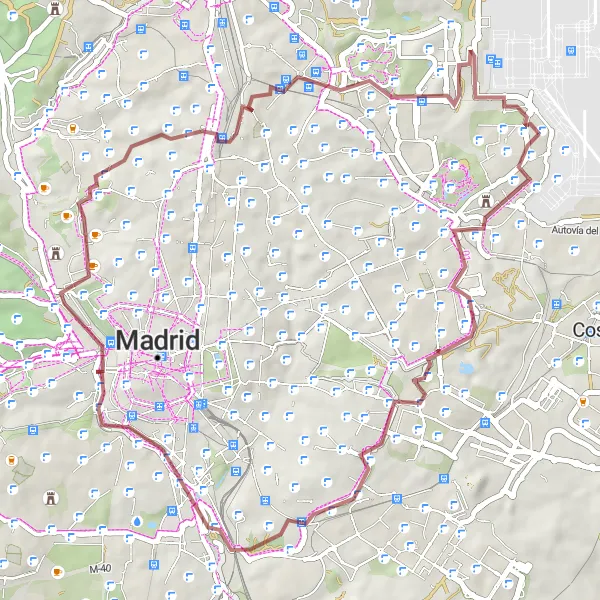
This gravel route spans 55 km with an ascent of 638 meters, offering a mix of off-road trails and scenic roads. Starting in Barajas, the route passes by San Blas - Canillejas, La Atalaya, Puente del Matadero, Cerro de las Canteras, Faro de Moncloa, Mirador alto del parque de Valdebebas, Toboganes gigantes, and Mirador Barajas T4. Suitable for gravel bike enthusiasts, this adventure allows you to explore the outskirts of Madrid.
gravel
55 km
638 m
Tough
Route profile
Highlights on the route
0 km
0 km
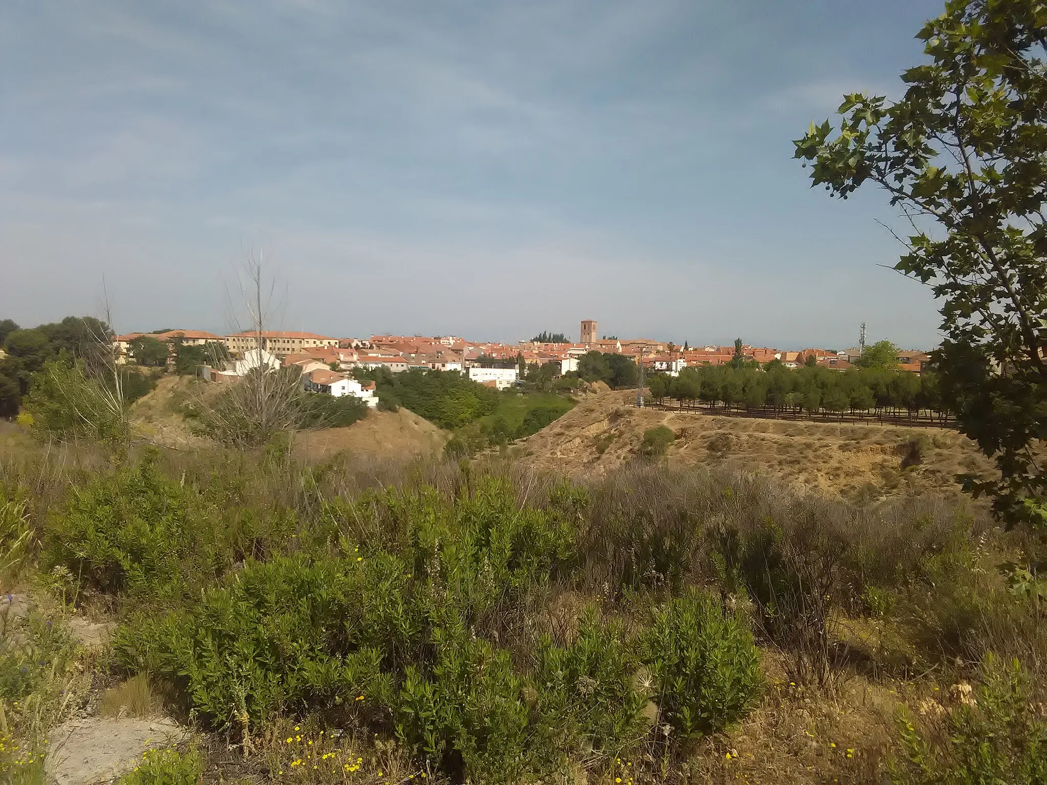
Start: Locality centerBarajas de Madrid: Varied terrain and access to popular cycling spots
Barajas de Madrid is a locality located in Comunidad de Madrid, Spain. For road and gravel cyclists, Barajas de Madrid offers a mix of terrain options, ranging from flat urban routes to challenging climbs in the nearby mountainous regions. The locality is home to the famous cycling spot known as Cerro de los Ángeles, which offers stunning views and a challenging ascent. Additionally, Barajas de Madrid provides convenient access to other popular cycling destinations in the Madrid area, such as Sierra de Guadarrama and Casa de Campo. With its variety of cycling routes and attractions, Barajas de Madrid is a great destination for both local and visiting cyclists.0 km
0 km
BarajasSub-urbBarajas is a bustling neighborhood with excellent cafés, shops, and recreational spaces.
6 km
6 km
San Blas - CanillejasSub-urbSan Blas - Canillejas is a vibrant area known for its cultural diversity and lively markets.
21 km
21 km
La AtalayaViewpointLa Atalaya provides stunning views of the surrounding countryside and is a popular spot for outdoor activities.
24 km
24 km
Puente del MataderoAttractionPuente del Matadero is a historical bridge that offers a scenic crossing over the river.
30 km
30 km
Cerro de las Canteras643 mPeakCerro de las Canteras is a picturesque hill with panoramic views of the countryside.
32 km
32 km
Faro de MoncloaAttractionFaro de Moncloa is a prominent landmark that provides panoramic views of the city of Madrid.
46 km
46 km
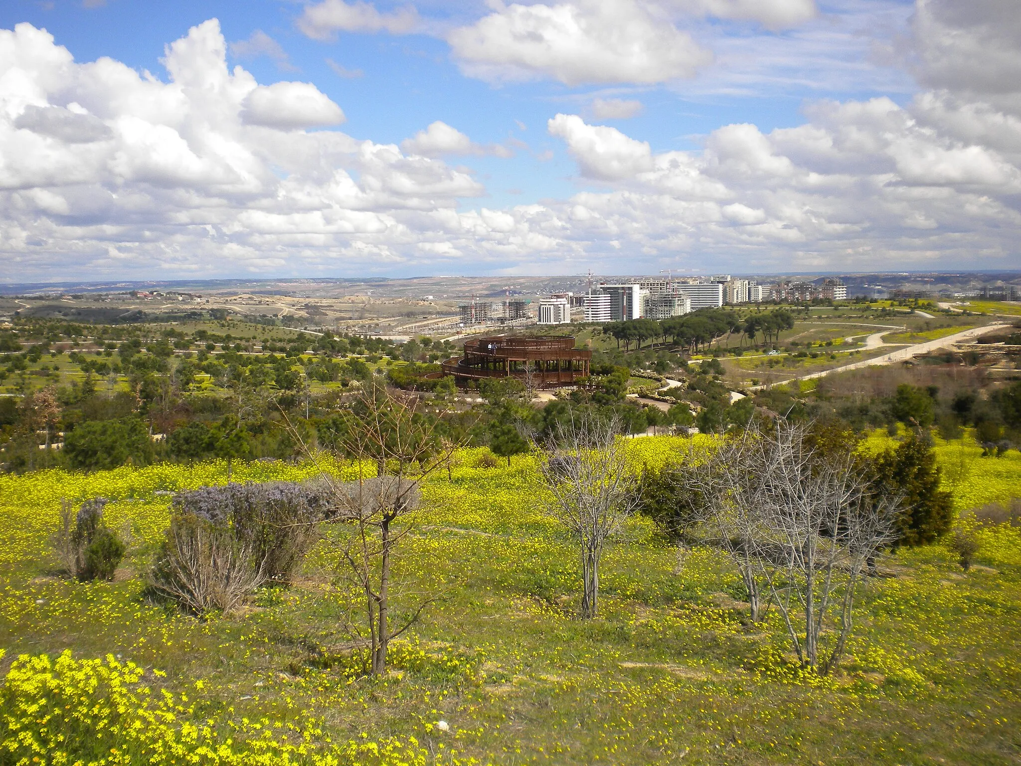
Mirador alto del parque de ValdebebasViewpointMirador alto del parque de Valdebebas offers a stunning vantage point with panoramic views of the city.
47 km
47 km
Toboganes gigantesAttractionToboganes gigantes is a natural slide formation that is perfect for adventurous activities.
54 km
54 km
Mirador Barajas T4ViewpointMirador Barajas T4 offers breathtaking views of the airport and surrounding landscapes.
55 km
55 km
Finish: Locality centerBarajas de Madrid: Varied terrain and access to popular cycling spots
Cycling routes from Barajas de Madrid:
Barajas T4 Circular Road Route Challenging Madrid Explorer Road Route Discovering Gravel Trails near Barajas Scenic Road Trip: Explore the Countryside Madrid Countryside Road Adventure Barajas de Madrid Gravel Route Challenging Gravel Adventure: Valpalomero Vista Road Cycling Adventure near Barajas Gravel Expedition: San Pelayo and Beyond Gravel Adventure to Valdebebas and Beyond
Cycling routes nearby: