Barajas T4 Circular Road Route
A road cycling route starting from Barajas de Madrid
A scenic road cycling route with a magnificent view from Mirador Barajas T4.
Map
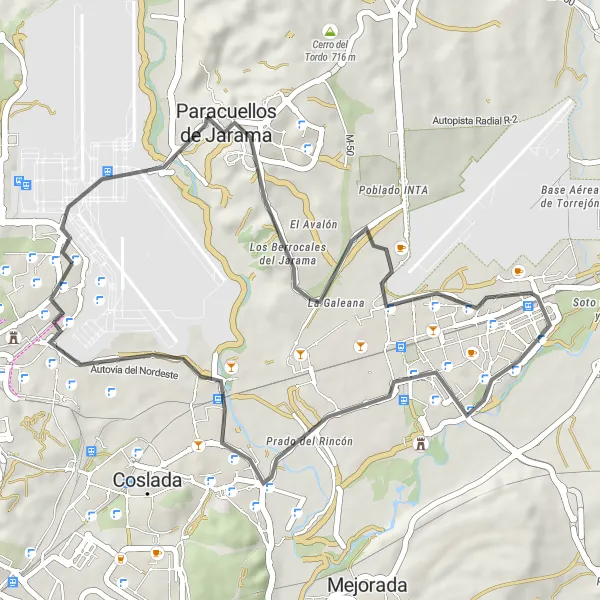
This circular road route starts near Barajas de Madrid and offers scenic views and a moderately challenging terrain. With a distance of 44 km and an ascent of 275 meters, it is suitable for well-trained amateurs. The route passes through Paracuellos de Jarama, Torrejón de Ardoz, and Castillo de la Alameda.
road
44 km
275 m
Tough
Route profile
Highlights on the route
0 km
0 km
Start: Locality centerBarajas de Madrid: Varied terrain and access to popular cycling spots
Barajas de Madrid is a locality located in Comunidad de Madrid, Spain. For road and gravel cyclists, Barajas de Madrid offers a mix of terrain options, ranging from flat urban routes to challenging climbs in the nearby mountainous regions. The locality is home to the famous cycling spot known as Cerro de los Ángeles, which offers stunning views and a challenging ascent. Additionally, Barajas de Madrid provides convenient access to other popular cycling destinations in the Madrid area, such as Sierra de Guadarrama and Casa de Campo. With its variety of cycling routes and attractions, Barajas de Madrid is a great destination for both local and visiting cyclists.1 km
1 km
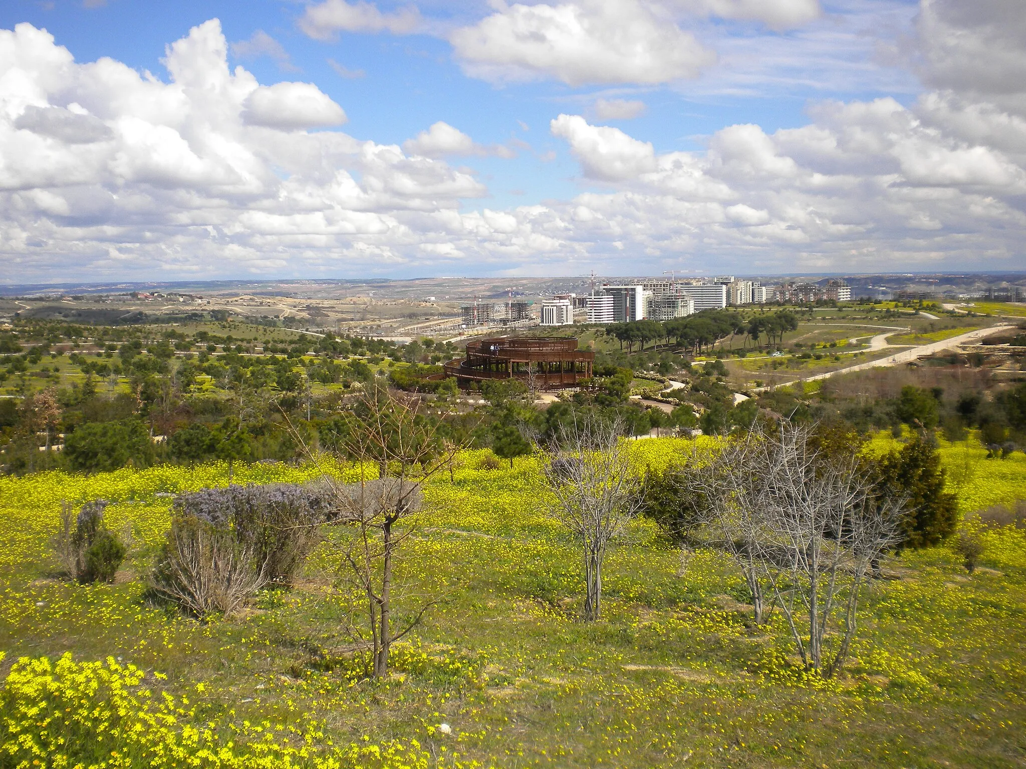
Mirador Barajas T4ViewpointThe Mirador Barajas T4 offers a stunning view of the surroundings.
7 km
7 km
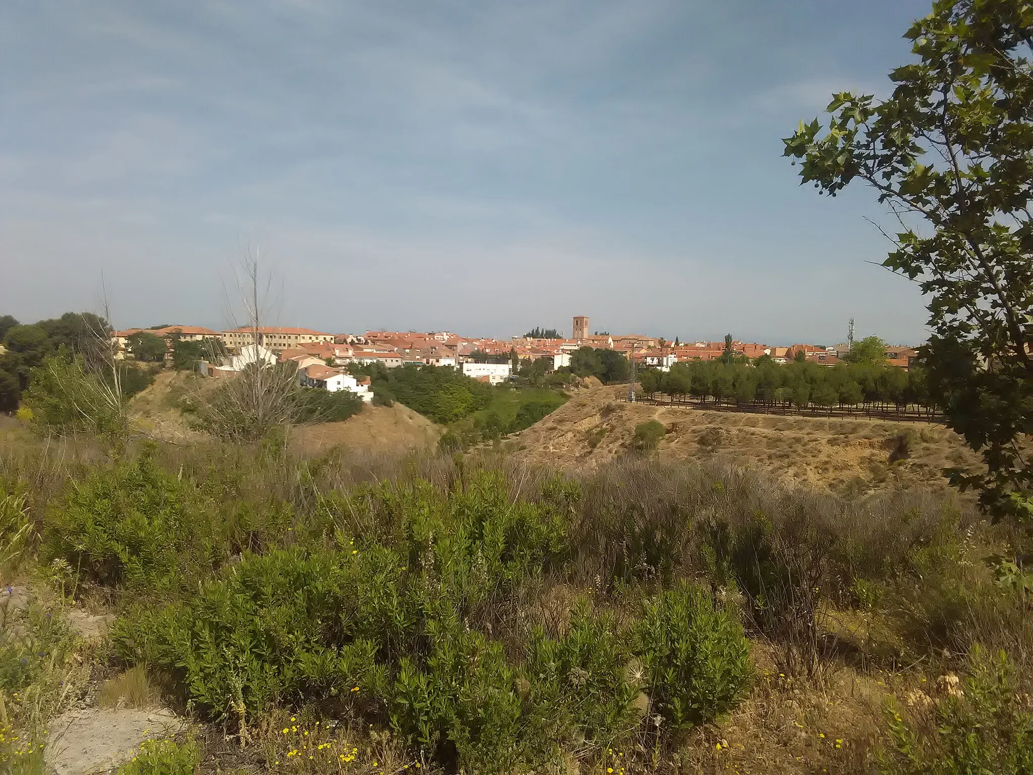
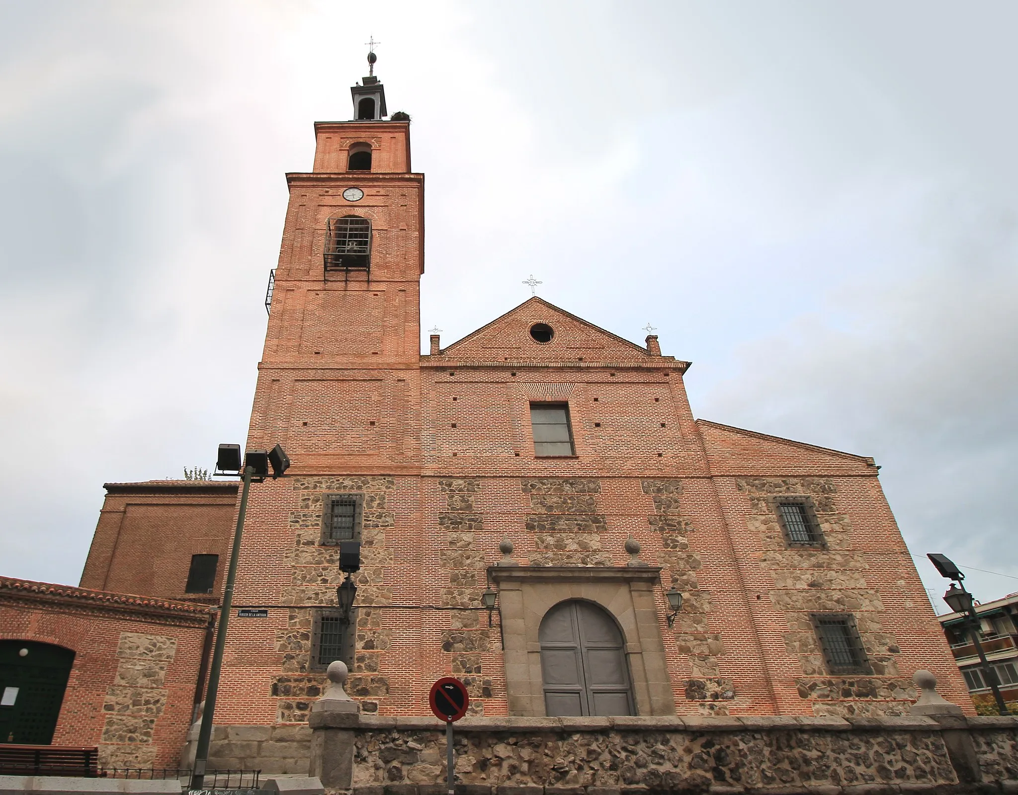
Paracuellos de JaramaTownParacuellos de Jarama is a historic town with beautiful architecture and cultural sites.
17 km
17 km
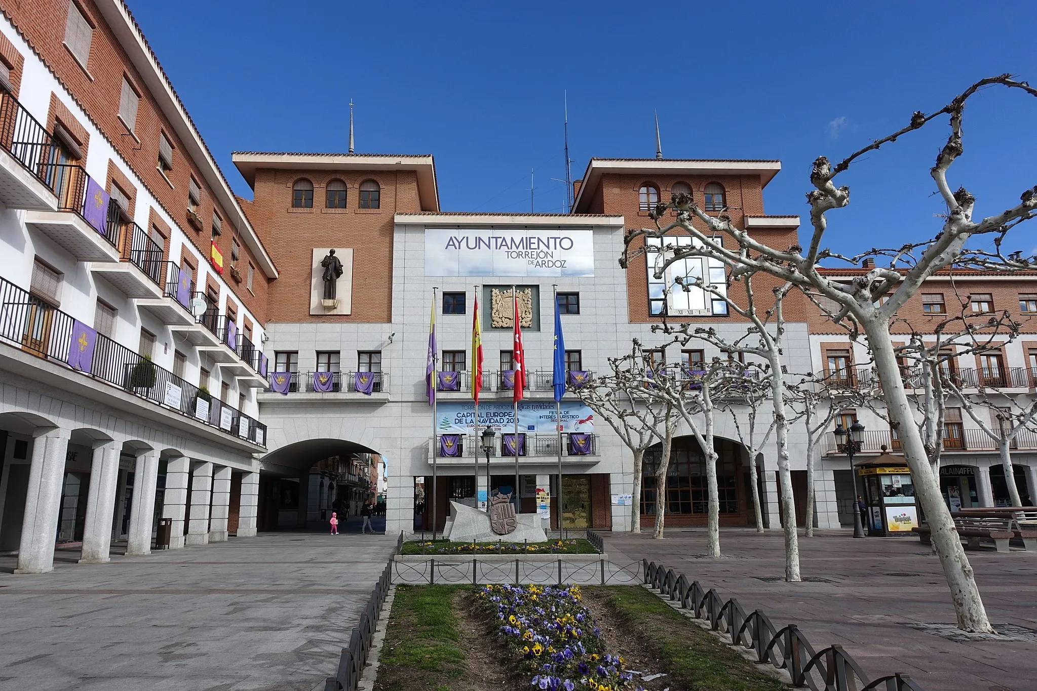
Torrejón de ArdozCityTorrejón de Ardoz is known for its vibrant atmosphere, parks, and cultural events.
41 km
41 km
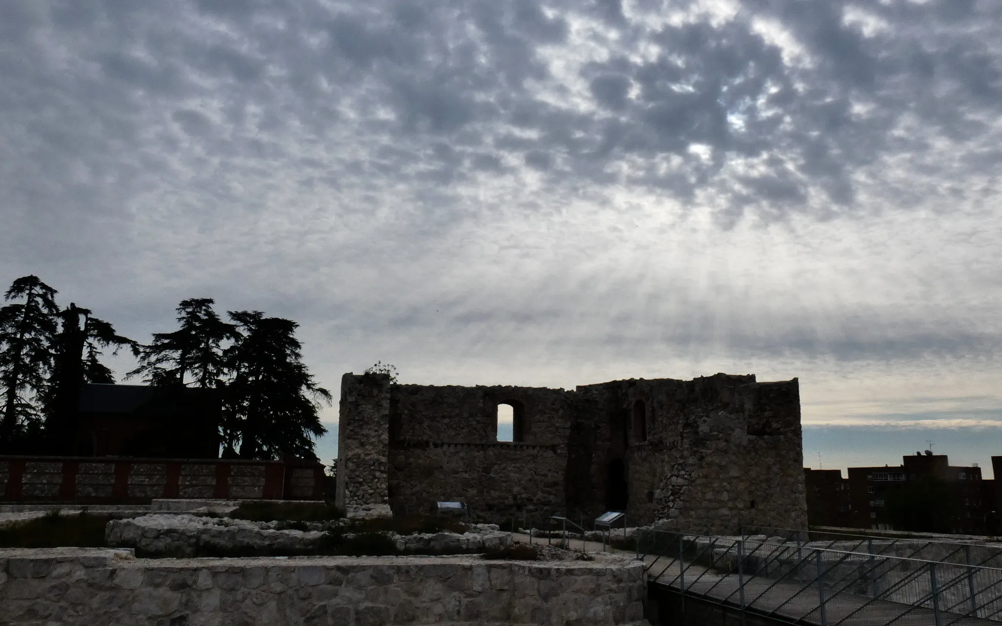
Castillo de la AlamedaCastleVisit the medieval Castillo de la Alameda for an insight into the region's history.
44 km
44 km
Finish: Locality centerBarajas de Madrid: Varied terrain and access to popular cycling spots
Cycling routes from Barajas de Madrid:
Barajas T4 Circular Road Route Challenging Madrid Explorer Road Route Discovering Gravel Trails near Barajas Scenic Road Trip: Explore the Countryside Madrid Countryside Road Adventure Barajas de Madrid Gravel Route Challenging Gravel Adventure: Valpalomero Vista Road Cycling Adventure near Barajas Gravel Expedition: San Pelayo and Beyond Gravel Adventure to Valdebebas and Beyond
Cycling routes nearby: