Discover the scenic beauty and challenging climbs of Galapagar.
Cycling routes from Galapagar
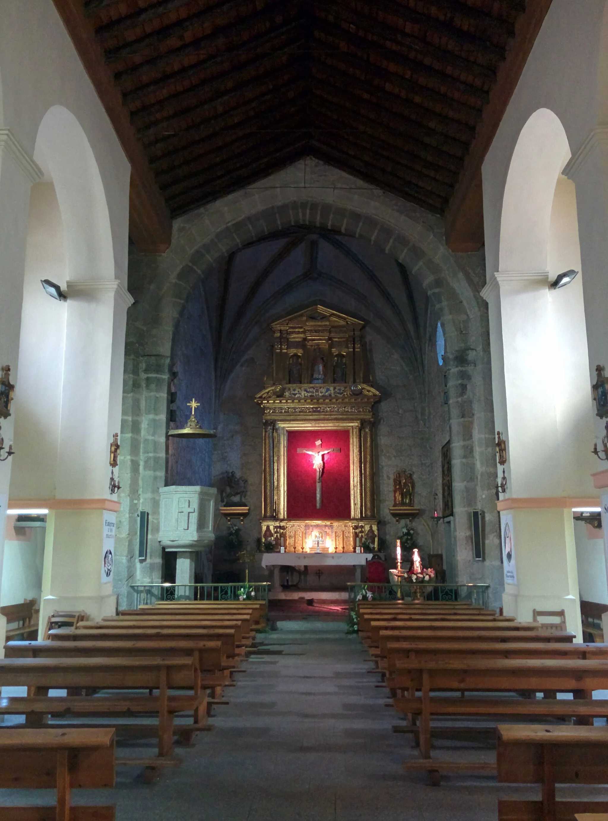
Galapagar is a town located in the Comunidad de Madrid region of Spain. From a cyclist's perspective, it offers a mix of rolling hills and challenging climbs, making it suitable for both road and gravel cycling. The surrounding countryside is also beautiful, with stunning views of the Sierra de Guadarrama mountains. One notable cycling spot in the area is the Puerto de la Cruz Verde, a well-known climb often used in local cycling events. Overall, Galapagar is a great destination for cyclists looking to explore scenic routes and enjoy challenging rides.

Embark on an adventure through Galapagar and its surroundings, admiring breathtaking viewpoints along the way.
With a distance of 109 kilometers and an ascent of 971 meters, this road cycling route provides a challenging and rewarding journey. Cyclists will encounter varied landscapes and encounter several hilltop viewpoints. The difficulty of this route is rated 4, suitable for experienced riders. The epicness of this route is rated 4.
Gravel Wonderland

Embark on a gravel road adventure through scenic landscapes and historical landmarks.
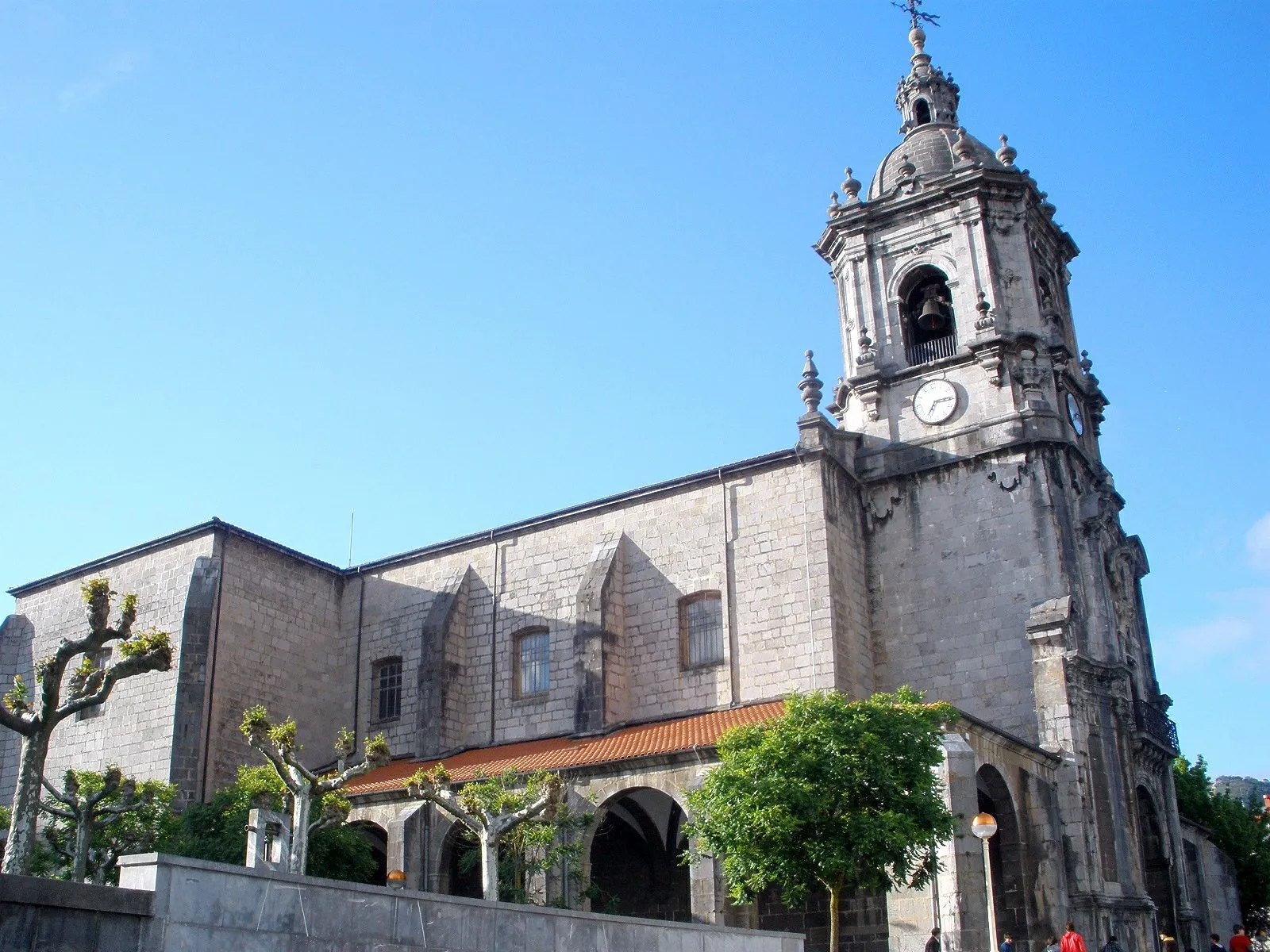
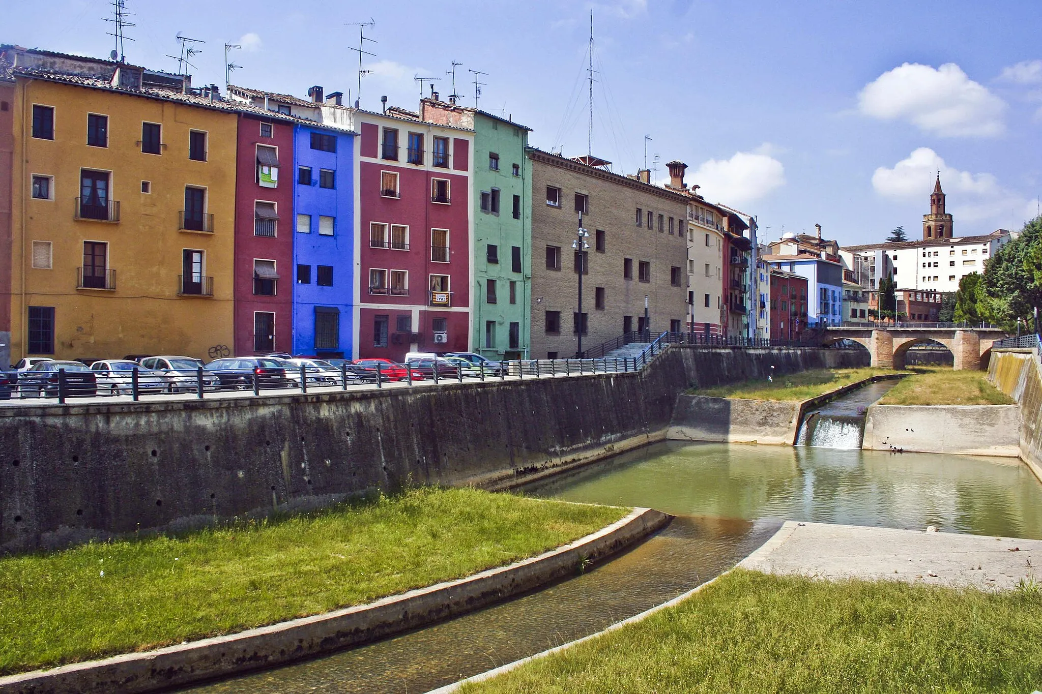
Gravel Wonderland is an exhilarating round-trip cycling route starting near Galapagar. This route is perfect for gravel enthusiasts seeking an off-road adventure through scenic landscapes and historical landmarks. With a distance of 81 kilometers and an ascent of 902 meters, Gravel Wonderland offers a thrilling and diverse ride. The gravel roads provide a unique cycling experience, allowing you to immerse yourself in nature and soak in the beauty of the surroundings. Throughout the route, there are several highlights that add to the overall charm of Gravel Wonderland. El Manchón, located 8 kilometers into the route, is a lush forested area perfect for a tranquil break. Las Rozas de Madrid, situated 20 kilometers into the route, is a vibrant town with a rich history and cultural attractions worth exploring. Other notable highlights include Mirador del Cotoblanco, offering panoramic views of the region, and Palacio del Infante don Luis, a grand historic palace. The route also passes through Villanueva del Pardillo, known for its picturesque landscapes, and Cerro Centeno, a scenic hill perfect for a memorable stop. Gravel Wonderland is a must-try for gravel bike enthusiasts looking to escape into nature and discover the hidden gems of the region.
Majadahonda Adventure
Embark on an adventurous cycling journey through scenic landscapes.
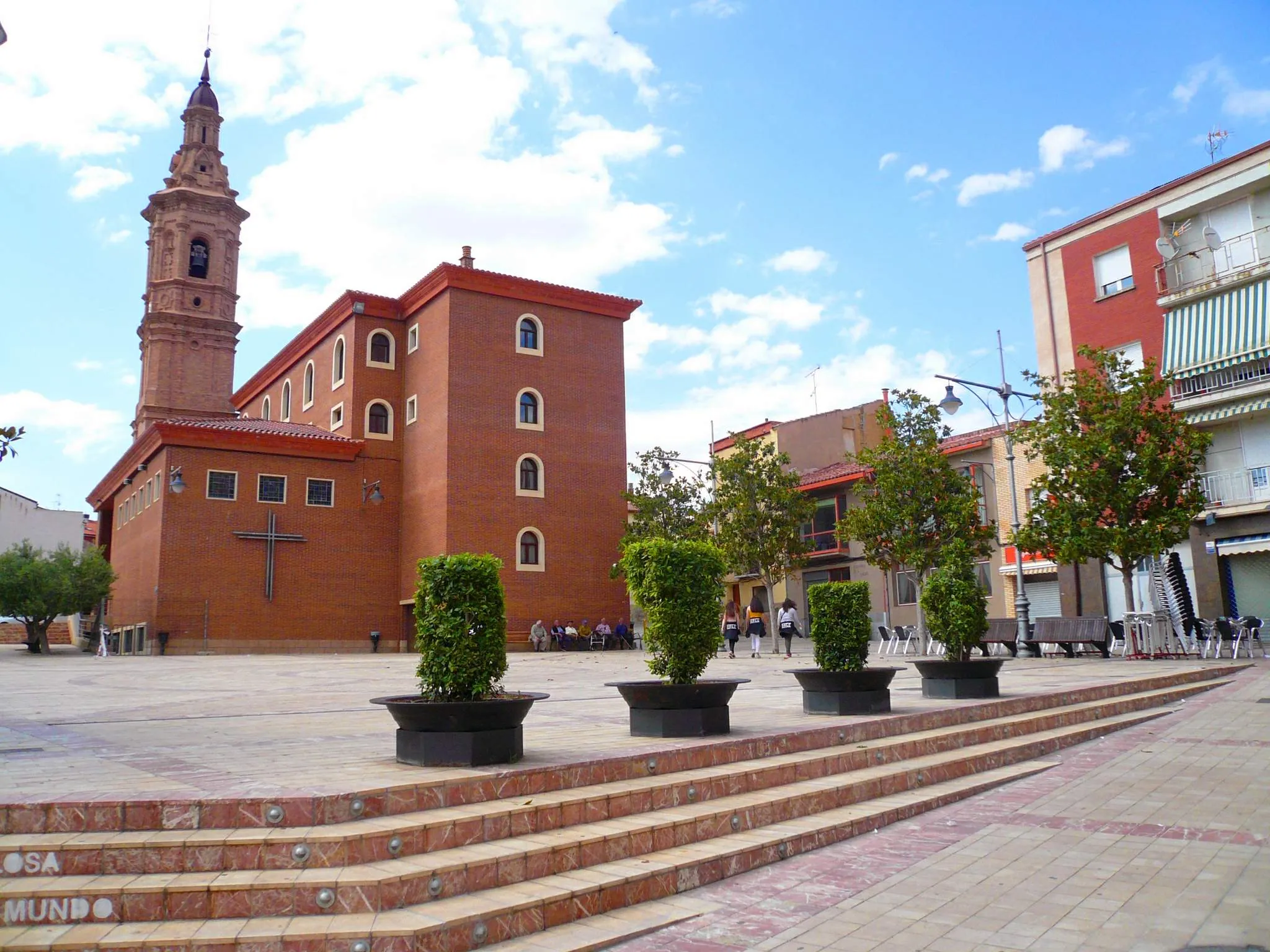
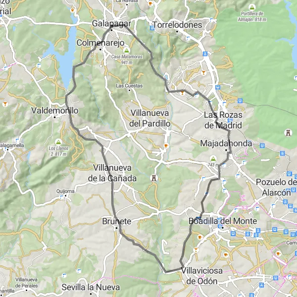
The Majadahonda Adventure is an adventurous round-trip cycling route starting near Galapagar. This route highlights the natural beauty and historical richness of the region, offering an exciting journey through scenic landscapes. With a distance of 68 kilometers and an ascent of 735 meters, the Majadahonda Adventure is suitable for well-trained amateur cyclists. The route features a mix of terrains and offers a moderate difficulty level, making it an enjoyable and rewarding experience. Throughout the route, there are several highlights that add to the excitement of the Majadahonda Adventure. El Manchón, located 6 kilometers into the route, is a lush forested area perfect for a serene stop. Majadahonda, situated 20 kilometers into the route, is a vibrant town with a lively atmosphere and historical sites worth exploring. Other notable highlights include Villanueva de la Cañada, known for its charming countryside views, and Loma Espesa, offering peaceful surroundings and scenic beauty. The route also passes by Colmenarejo, a picturesque village with traditional architecture. The Majadahonda Adventure is a thrilling cycling journey that combines breathtaking landscapes with cultural discoveries.
Road Cycling in Guadarrama
Experience an exhilarating road cycling journey through the beautiful Guadarrama region
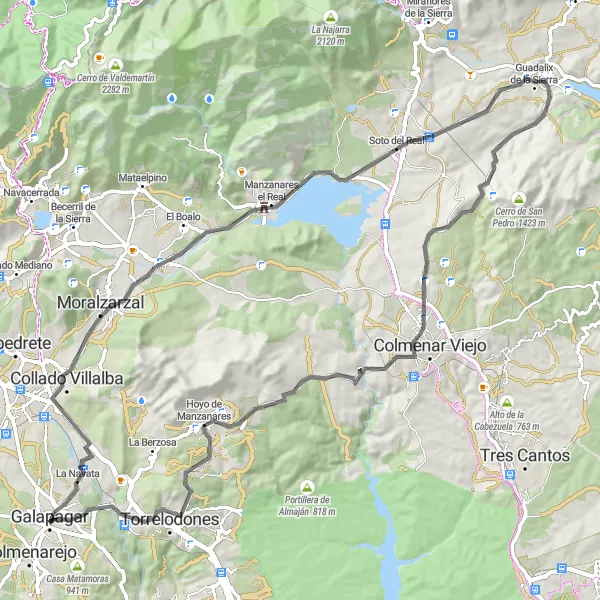
This 90km road cycling route near Galapagar will take you through the scenic Guadarrama region. With a total ascent of 1051m, it offers a great opportunity to challenge yourself and enjoy the breathtaking landscapes. Along the way, you'll encounter charming towns and landmarks.

Embark on a challenging gravel route to reach the picturesque Navacerrada
This 82km gravel route is designed for experienced and fit cyclists who are up for a challenging adventure. With a total ascent of 1477m, the route will test your stamina and skills. Along the way, you'll pass by ruins, natural landmarks, and charming villages.

Embark on a gravel adventure, exploring Galapagar's surroundings to uncover hidden gems.
With a distance of 43 kilometers and an ascent of 678 meters, this gravel cycling route offers a rewarding journey through nature and quaint villages. The terrain includes gravel paths and forested sections. The difficulty of this route is rated 2, suitable for gravel bike enthusiasts. The epicness of this route is rated 2.
Discovering Valdemorillo

Explore the scenic beauty and charm of Valdemorillo as you cycle through gravel roads
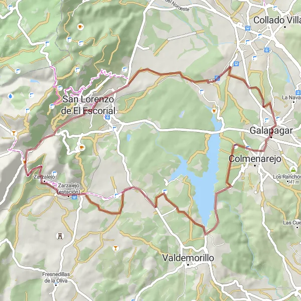
This 72km gravel route starting near Galapagar takes you through picturesque landscapes and charming towns. As you ascend 880m, you'll be rewarded with stunning views and peaceful surroundings. The route is well-suited for experienced gravel cyclists.
Discover the charms of Galapagar and its surrounding areas on this scenic gravel bike route.
With a distance of 56 kilometers and an ascent of 722 meters, this gravel bike route offers a pleasant and varied cycling experience. Cyclists will pass through picturesque towns and encounter natural and architectural highlights along the way. The difficulty of this route is rated 2, suitable for beginners or those looking for a more relaxed ride. The epicness of this route is rated 2.

Explore the rugged beauty of Galapagar and its neighboring areas on this challenging cycling route.
With a distance of 116 kilometers and an ascent of 1944 meters, this road cycling route is recommended for experienced cyclists. The terrain includes mountainous sections and scenic viewpoints. The difficulty of this route is rated 5, designed for advanced riders. The epicness of this route is rated 4.

Discover the beautiful landscapes of Galapagar and its surroundings on this scenic cycling route.
This route takes you through stunning countryside and charming towns, offering a diverse cycling experience. With a total distance of 87 kilometers and an ascent of 1128 meters, this road cycling route is suitable for well-trained amateurs. The epicness of this route is rated 3.
Cycling routes nearby:


Nearby regions: