Gravel Excursion to El Escorial
A gravel cycling route starting from Valdemorillo
Embark on a gravel cycling excursion to El Escorial and explore the beautiful landscapes of the region.
Map

This 54 km gravel route takes you through the countryside surrounding Valdemorillo and El Escorial. With a moderate ascent of 495 meters, this route is suitable for intermediate-level cyclists. Highlights along the route include Valquemado, a quaint village with traditional architecture, and Los Negrales, known for its picturesque streets. The highlights of the route include Cerro de la Asunción, a challenging climb with rewarding views, and Pino Alto, a natural area with beautiful scenery. With an epicness rating of 2, this route promises a memorable and enjoyable gravel cycling experience.
gravel
54 km
495 m
Chill
Route profile
Highlights on the route
0 km
0 km
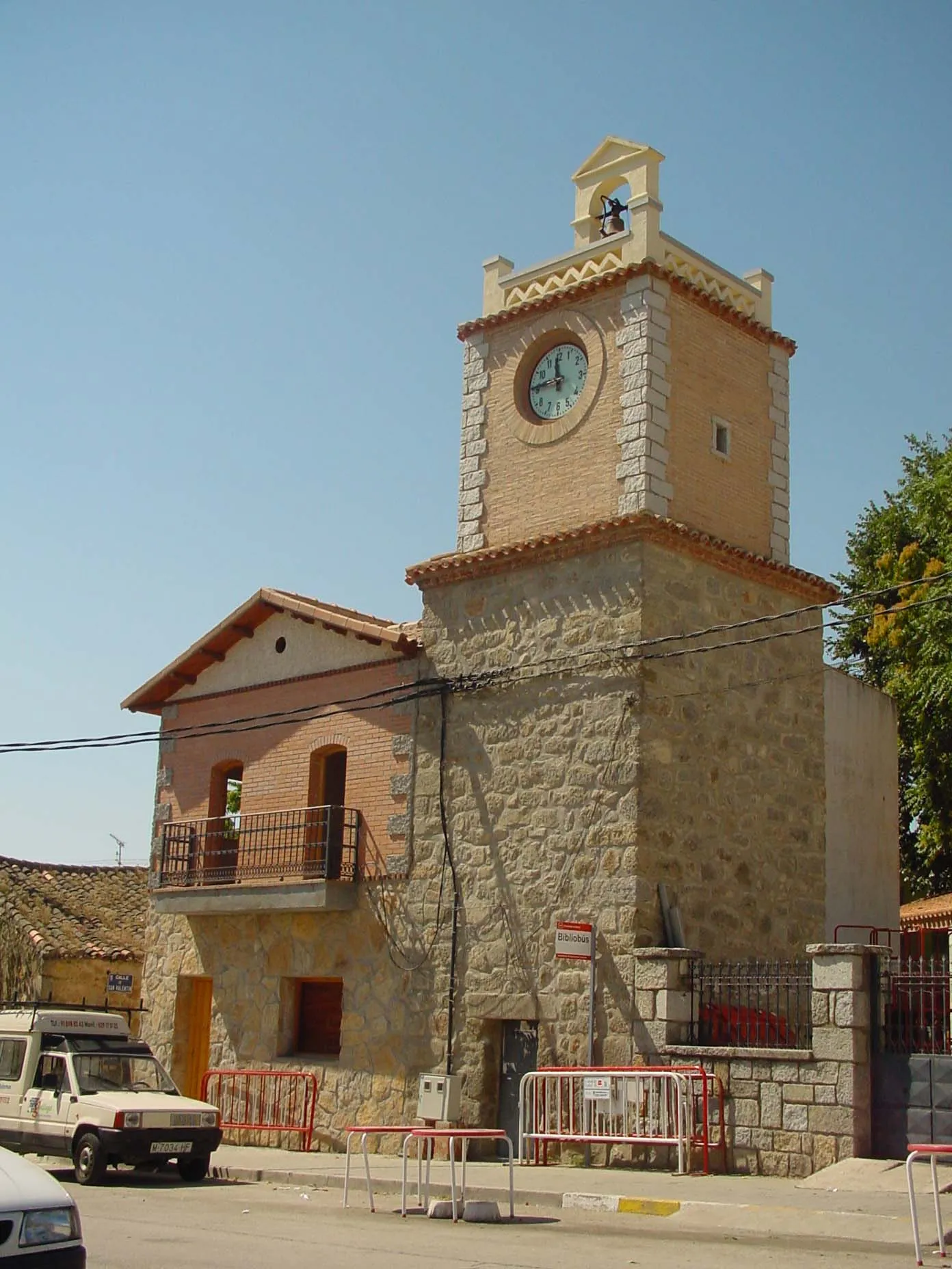
Start: Valdemorillo City centerValdemorillo: Cyclist's paradise nestled in the Madrid region.
Valdemorillo is a town located in the Comunidad de Madrid region of Spain. It offers a diverse and challenging cycling experience for road and gravel cyclists. The town is surrounded by mountains, providing stunning views and challenging climbs for enthusiasts. Notable nearby cycling spots include the Puerto de la Cruz Verde climb and the Parque Regional del Curso Medio del Rio Guadarrama, offering off-road trails for gravel cycling. Valdemorillo also hosts various cycling events and has cycling-friendly facilities. With its varied terrain and beautiful landscapes, Valdemorillo is a great destination for cyclists seeking a challenging ride.2 km
2 km
Valquemado879 mPeakValquemado is a charming village with traditional Spanish architecture and narrow streets.
16 km
16 km
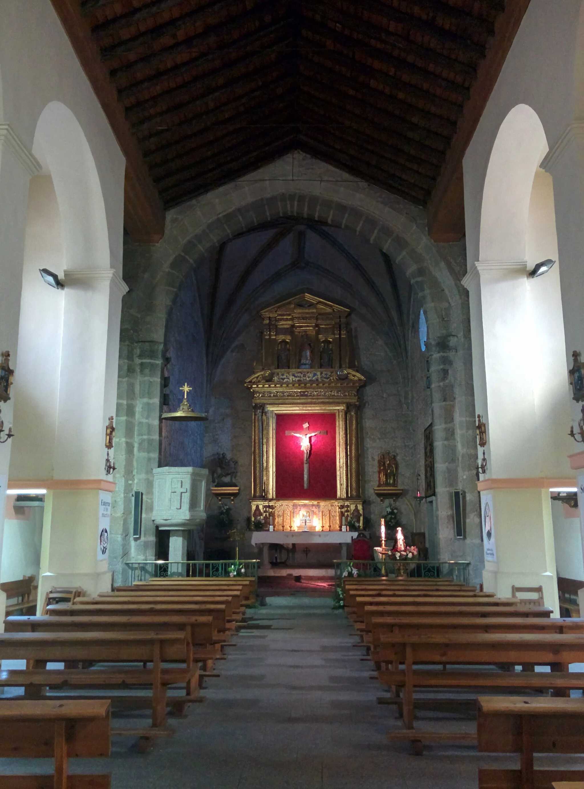
El EscorialTownEl Escorial is a UNESCO World Heritage Site famous for its royal religious complex and picturesque surroundings.
34 km
34 km
Los NegralesHamletLos Negrales is a picturesque village with beautiful streets and traditional architecture.
36 km
36 km
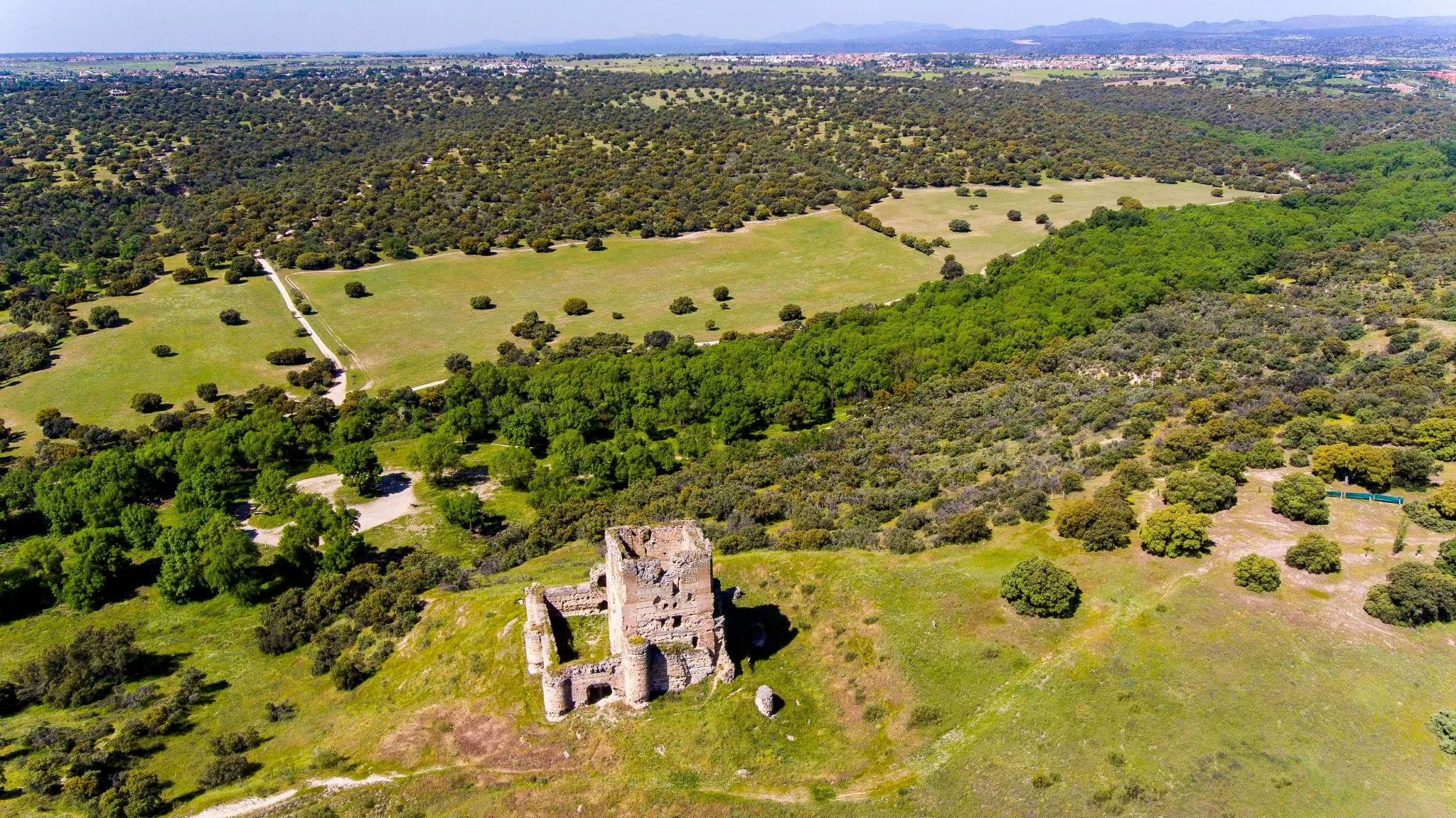
Cerro de la Asunción977 mPeakCerro de la Asunción is a challenging climb that offers stunning views of the surrounding landscape.
50 km
50 km
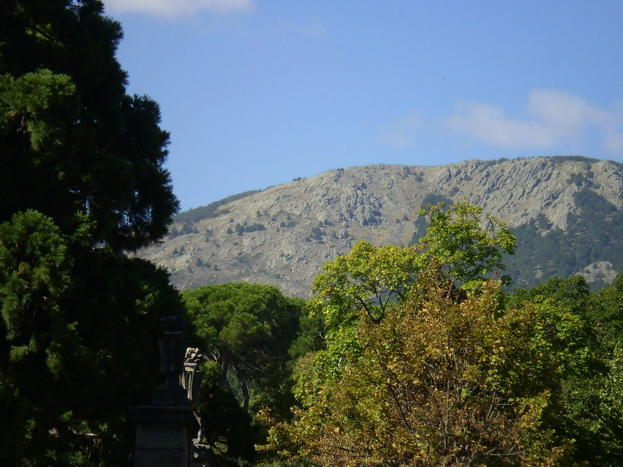
Pino AltoSub-urbPino Alto is a natural area known for its beautiful trails and scenic views.
54 km
54 km
Finish: Valdemorillo City centerValdemorillo: Cyclist's paradise nestled in the Madrid region.
Cycling routes from Valdemorillo:
Gravel Excursion to El Escorial Gravel Adventure to Navalcarnero Gravel Ride to Puentelasierra Fresnedillas de la Oliva Gravel Loop Road Cycling Challenge - El Escorial Loop The Navalagamella Loop The Navalagamella Challenge Valdemorillo Gravel Adventure The Valdemorillo Epic Ride Road Cycling Adventure - Torrelodones Loop
Cycling routes nearby: