Quaint Cycling Expedition
Cycling routes from Aielo de Malferit
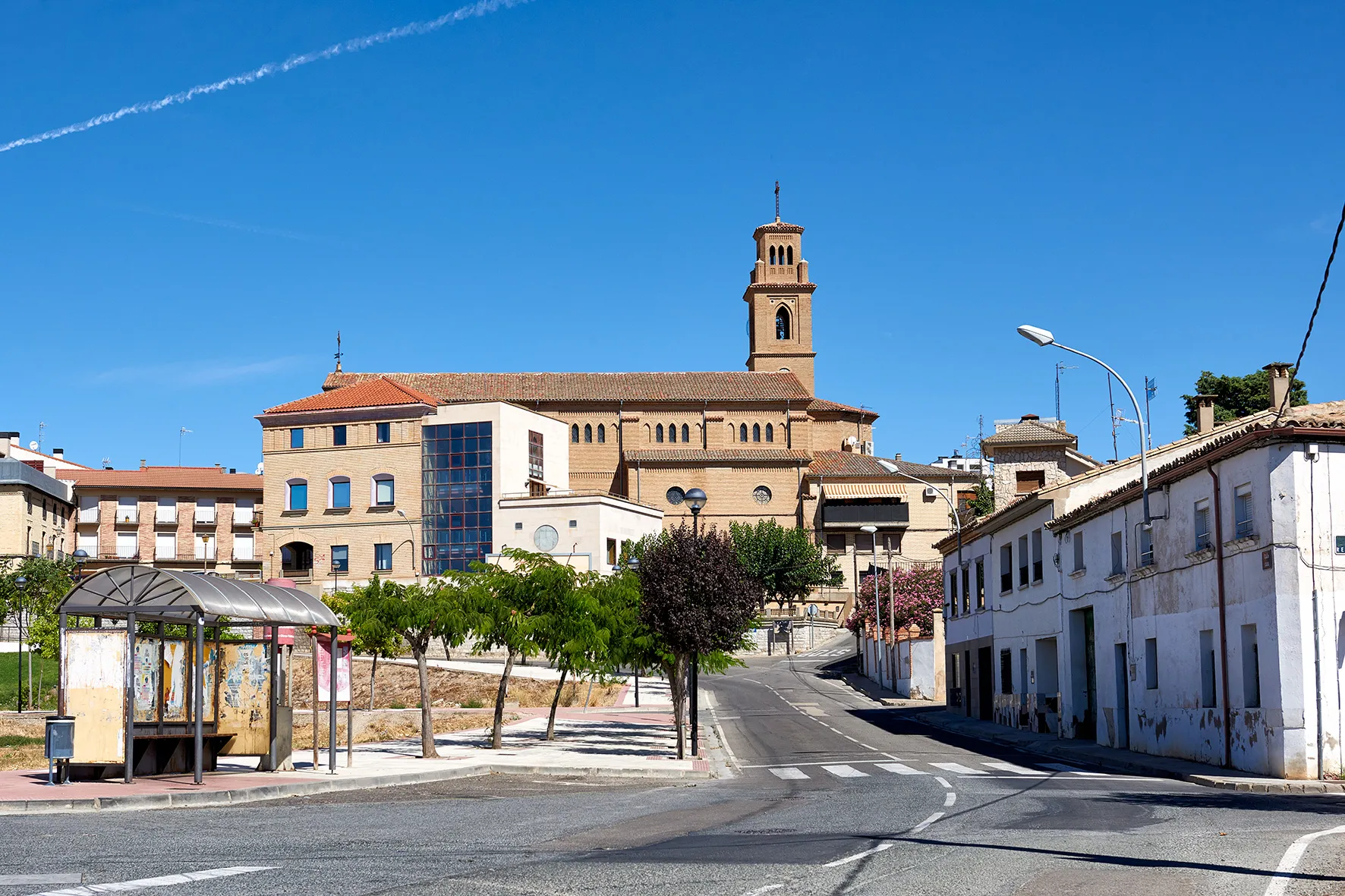
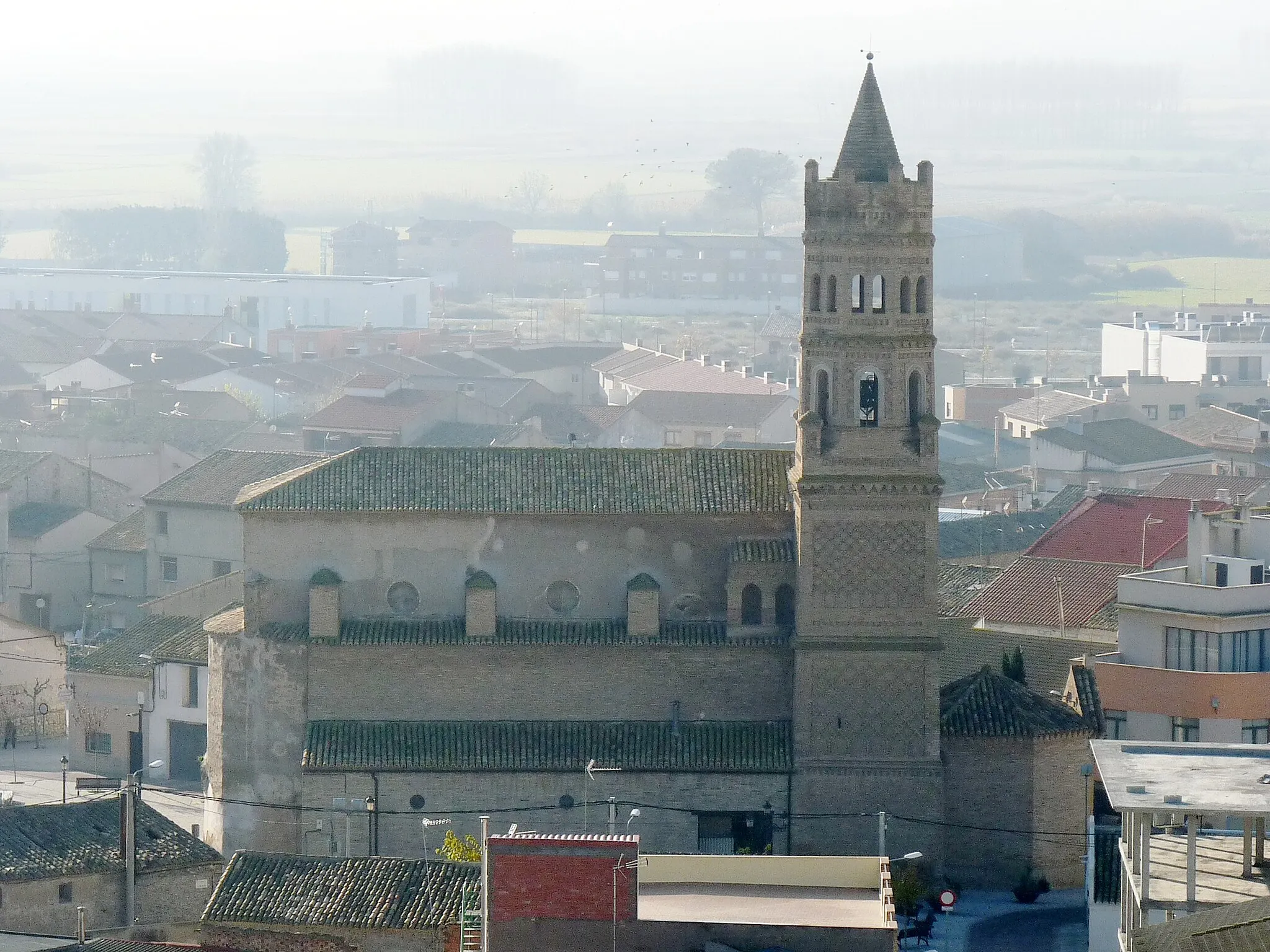
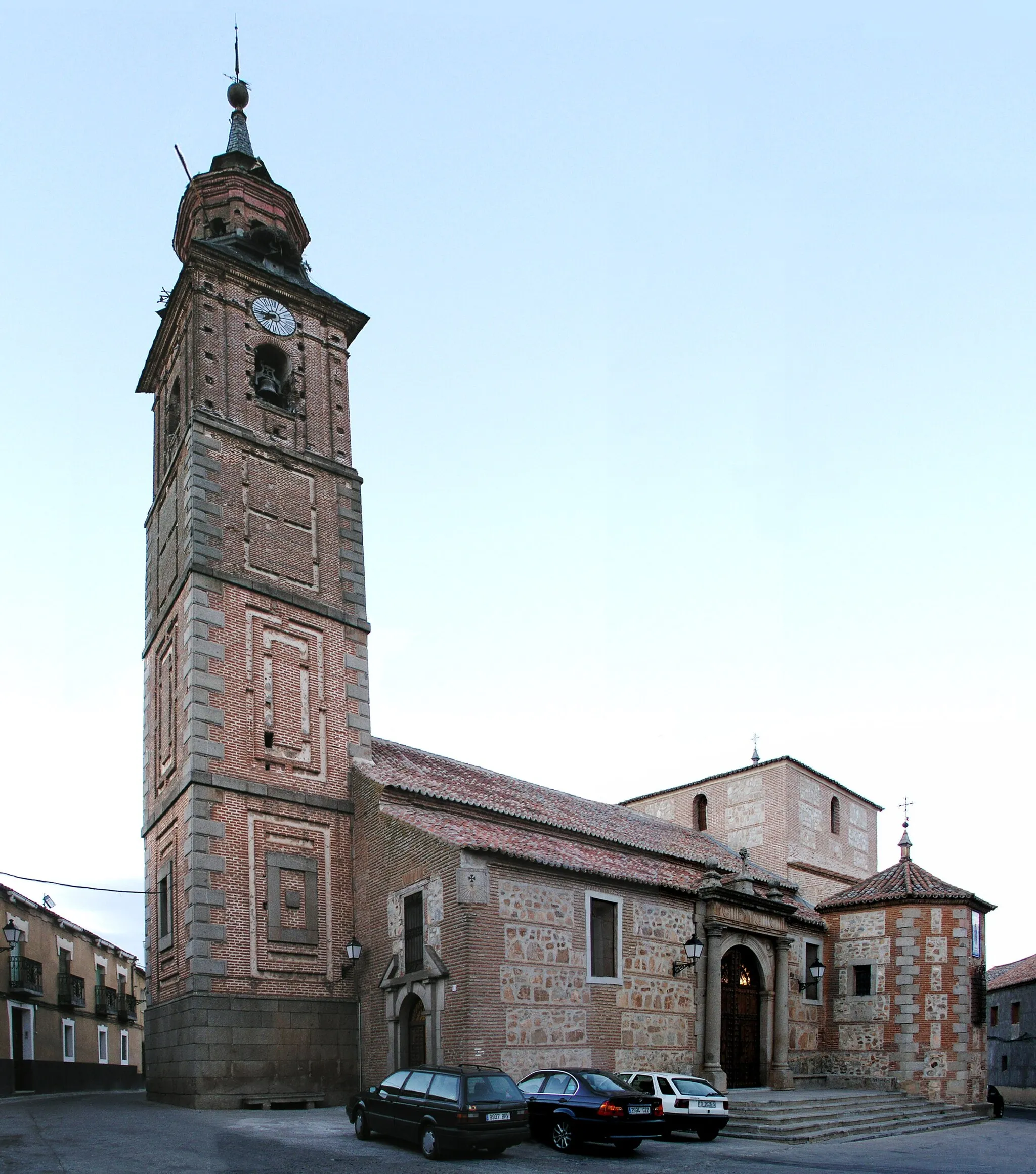
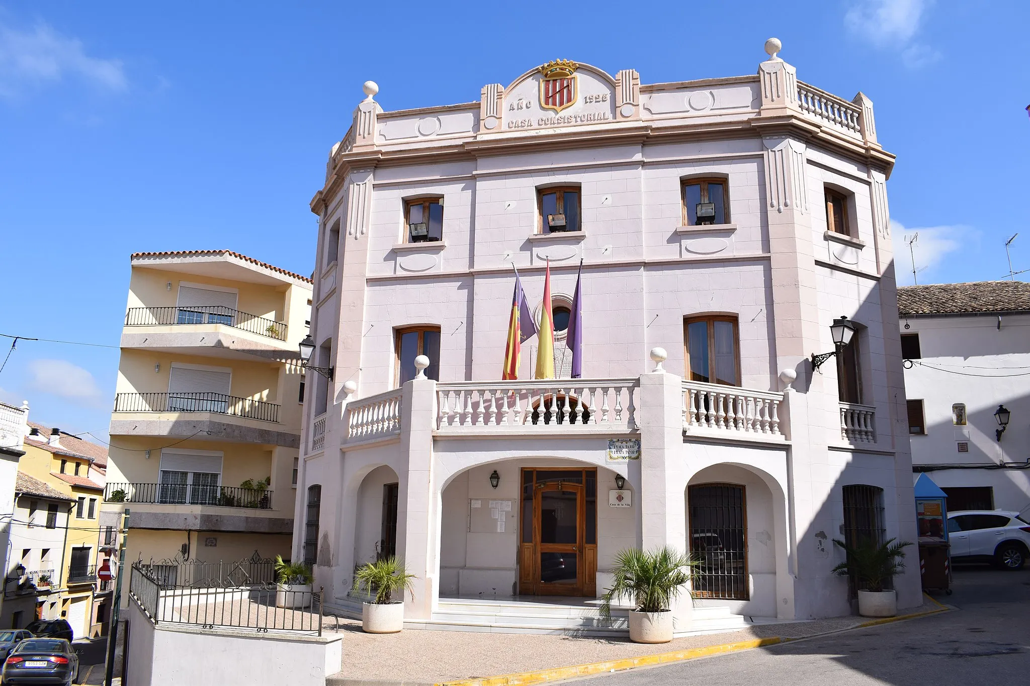
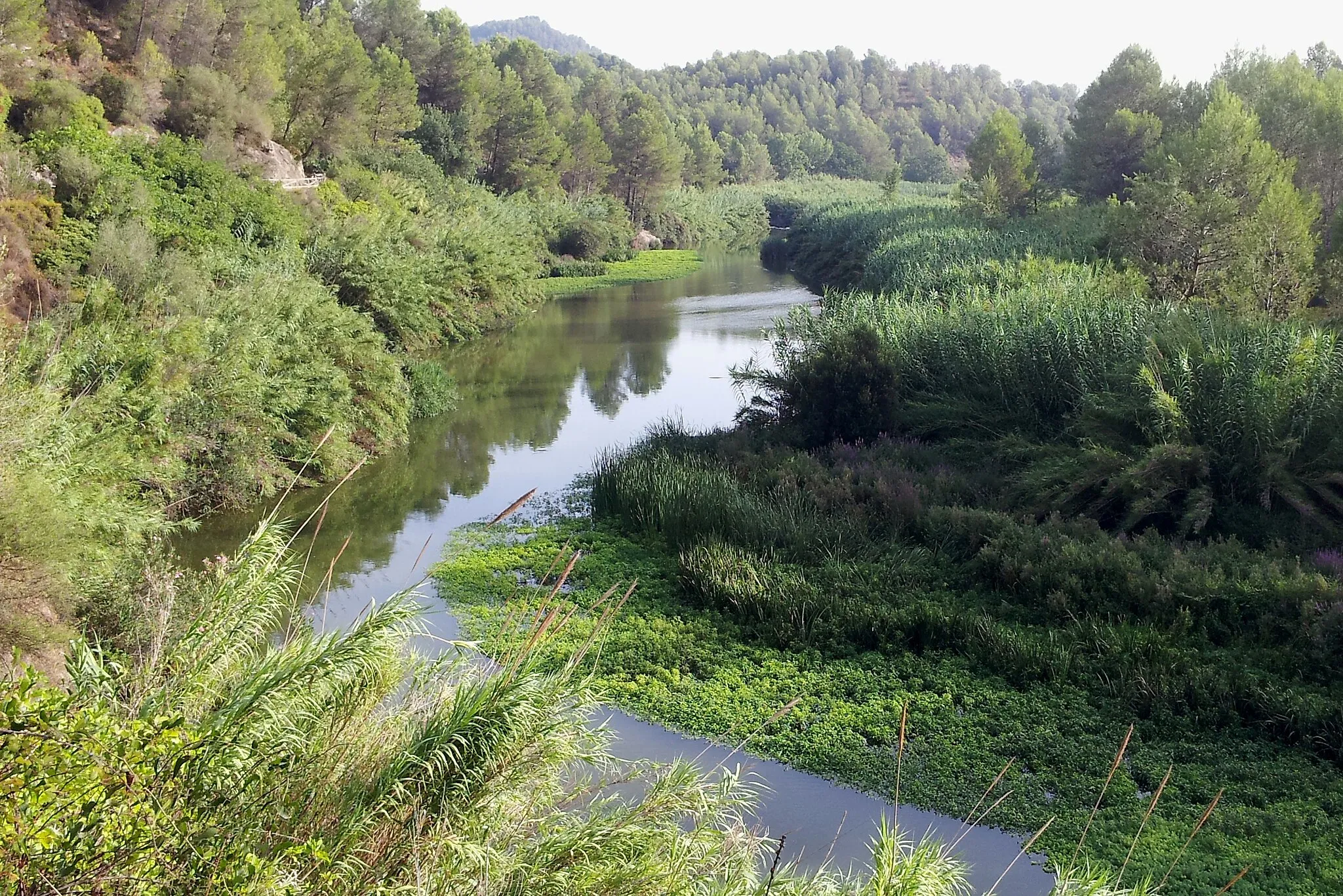
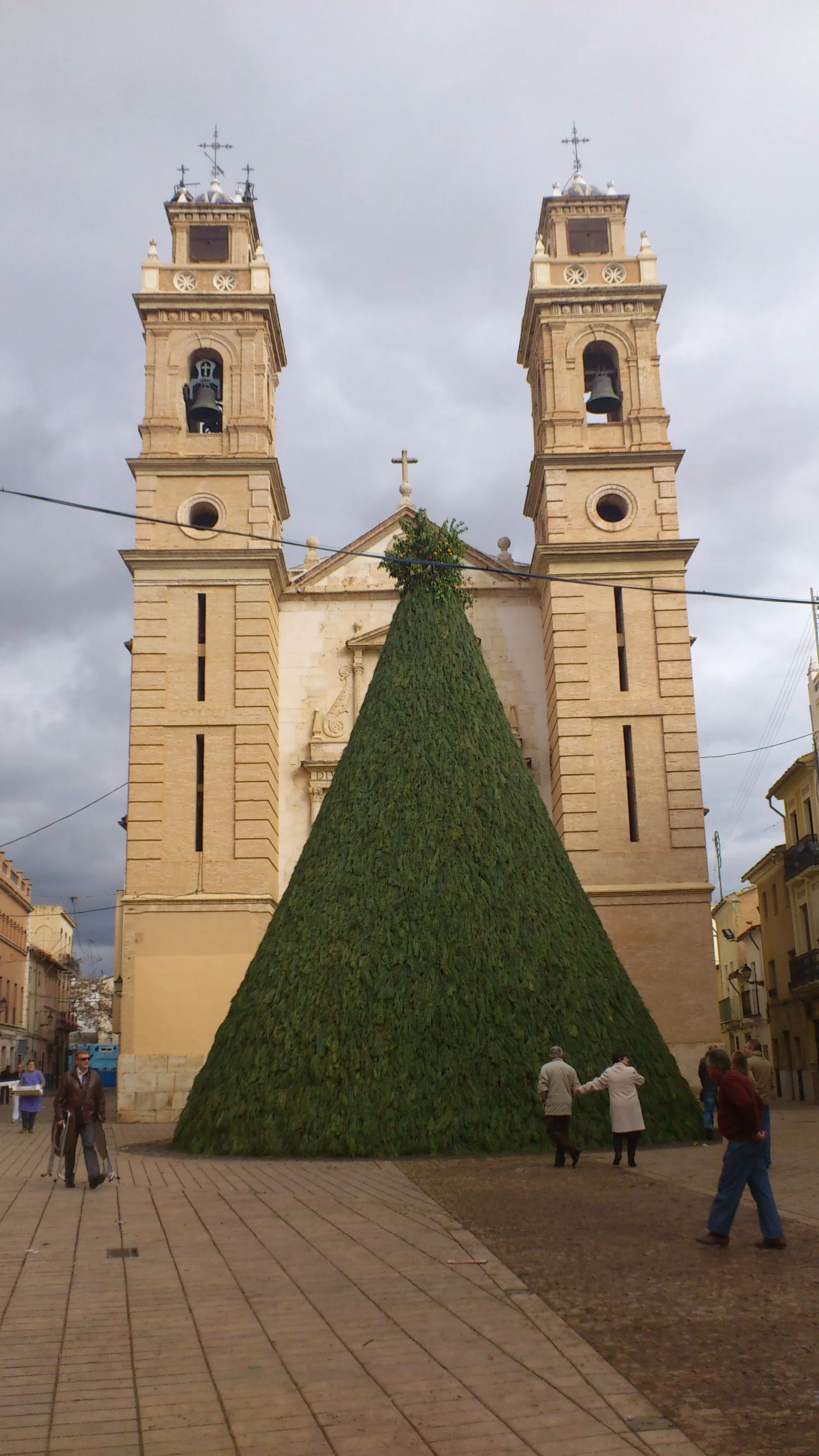
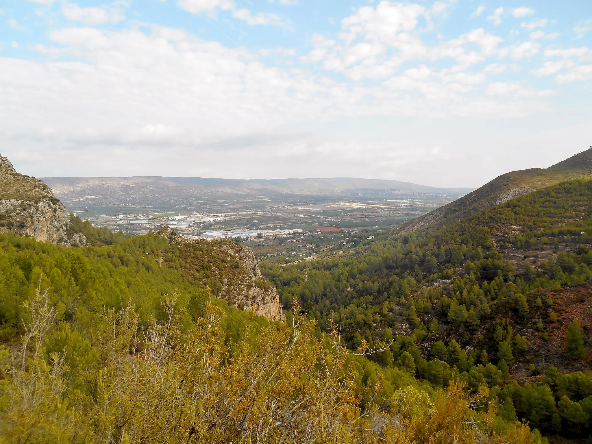
Aielo de Malferit, situated in the Comunitat Valenciana region of Spain, provides a delightful setting for cyclists. Road cyclists will enjoy the well-maintained roads and low traffic in Aielo de Malferit, making it ideal for enjoyable rides. Gravel cyclists can also explore the picturesque gravel roads surrounding the locality, adding diversity to their cycling experiences. While Aielo de Malferit may not have any famous cycling-related spots or well-known climbs, its peaceful atmosphere and overall cyclist-friendly environment make it a great place to discover on two wheels.
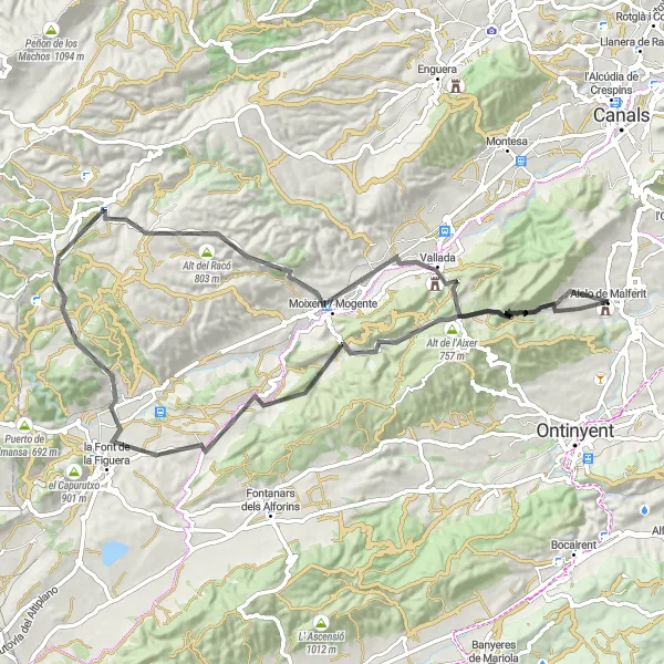
Aielo de Malferit Circuit
Explore the stunning countryside around Aielo de Malferit on this challenging road cycling route.
This round-trip cycling route starting near Aielo de Malferit takes you through picturesque towns and villages, offering breathtaking views of the Comunitat Valenciana countryside. The route covers a distance of 119 kilometers and includes a challenging ascent of 1249 meters. It is suitable for very well-trained amateur cyclists who enjoy a good physical challenge.
A scenic route through the countryside of Comunitat Valenciana
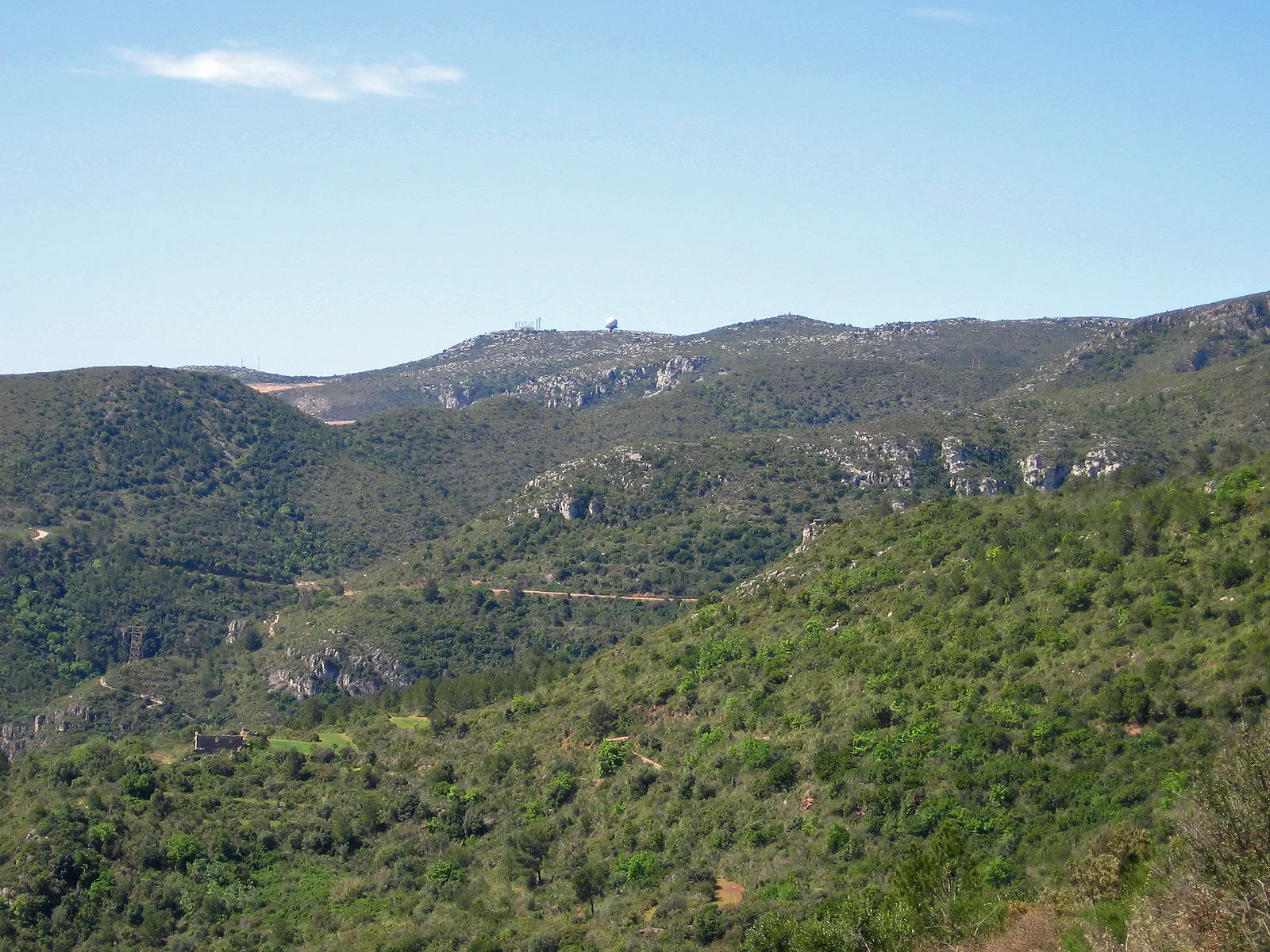
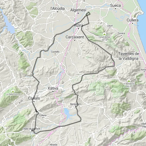
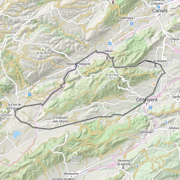
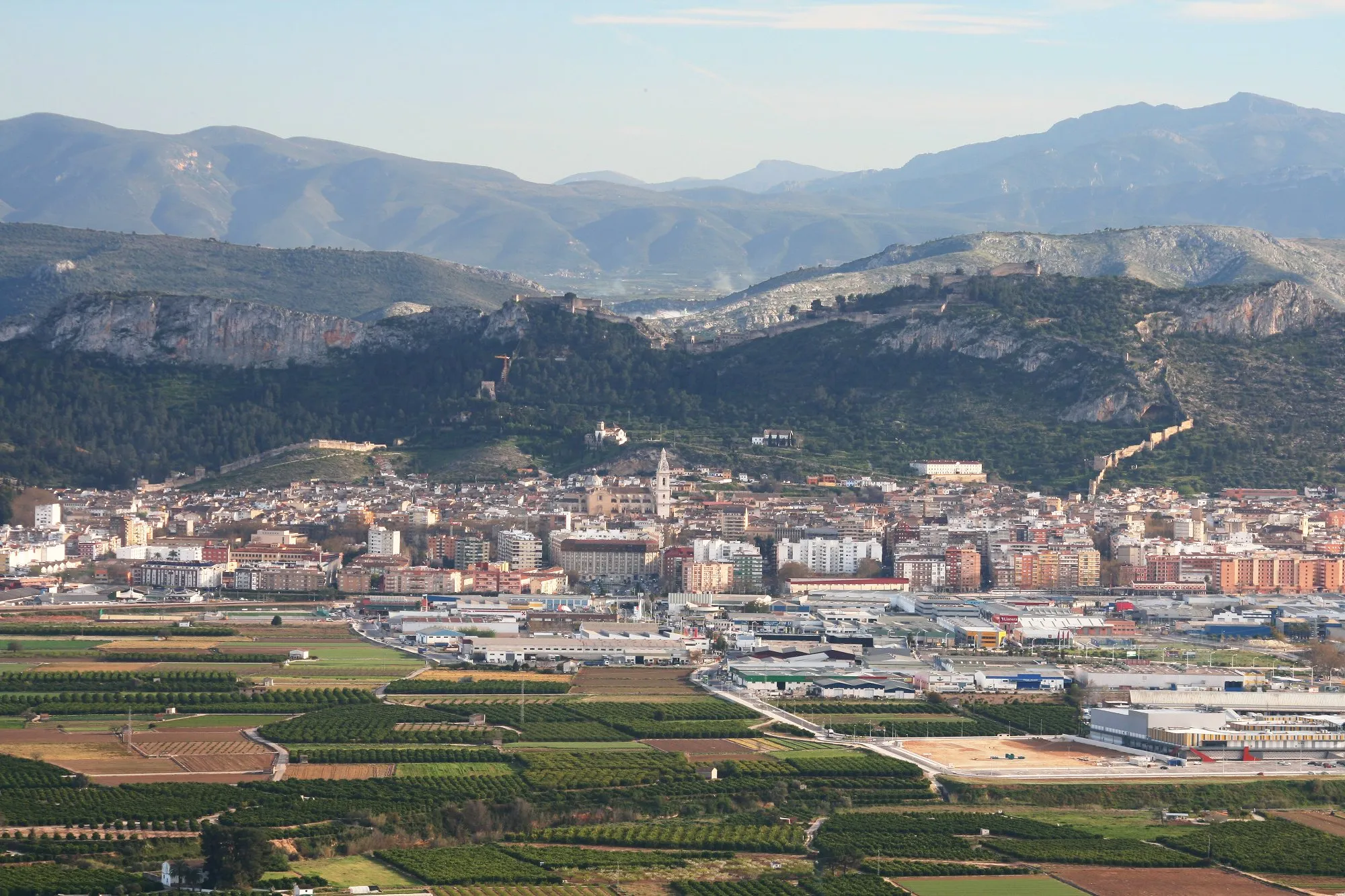
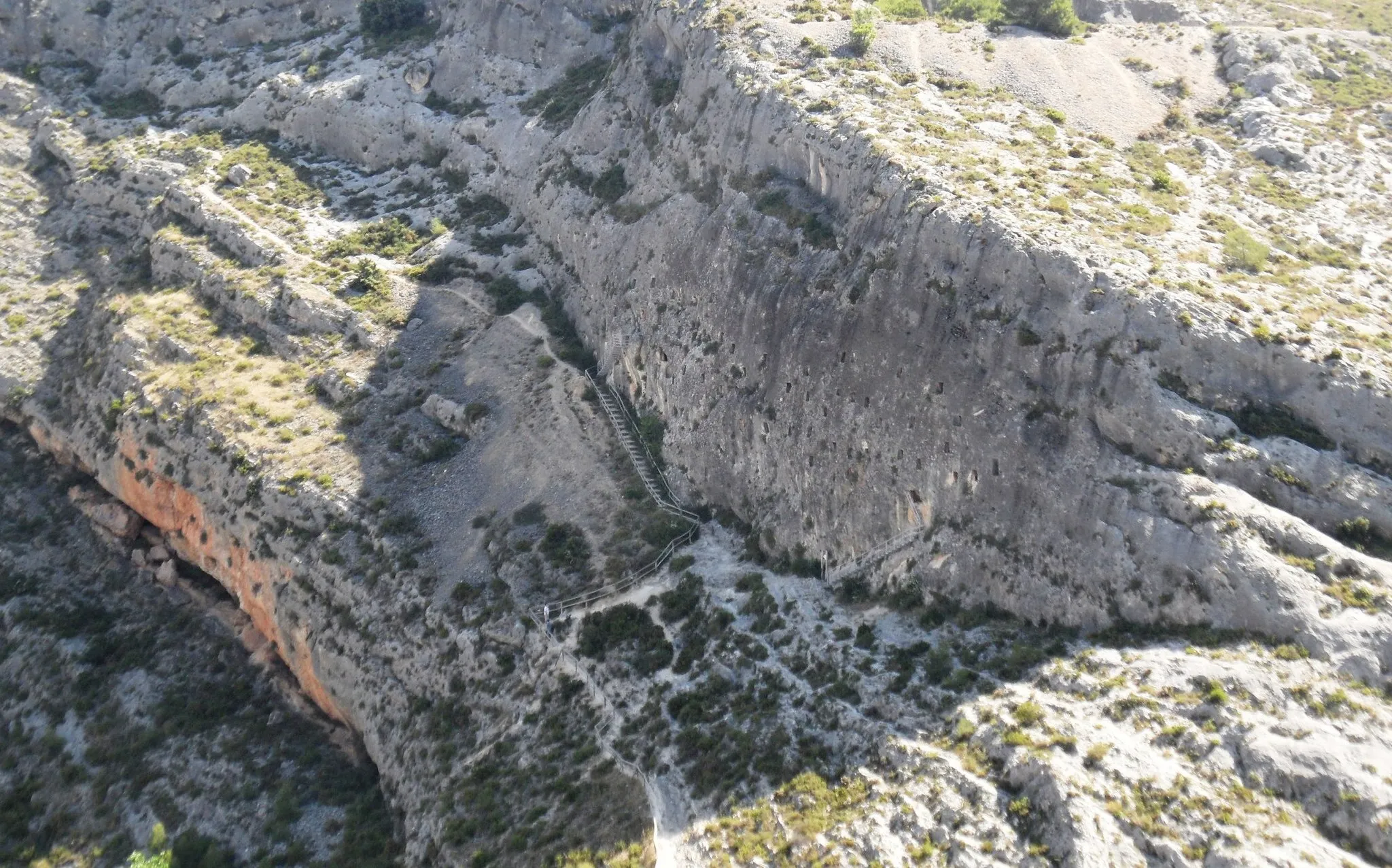
This round-trip cycling route starting near Aielo de Malferit in Comunitat Valenciana offers a scenic journey through picturesque countryside. With a total distance of 149 km and an ascent of 2949 meters, this route is suitable for very well-trained amateurs. Throughout the route, you will encounter various highlights. Starting in Aielo de Malferit, you will pass through Ontinyent, famous for its textile industry and historic city center. In Agres, enjoy the stunning views of the surrounding mountains as you cycle through the quaint village. The ascent to Penya Grossa at 31 km provides a challenging climb with panoramic views at the top. Continuing onwards, Benifallim greets you with its charming medieval castle perched on a hilltop. As you reach Penyes de Martí at 56 km, take a moment to appreciate the unique rock formations that dot the landscape. Alt dels Canyarets at 66 km offers a thrilling uphill challenge with rewarding views of the surrounding countryside. Lloma pelada at 93 km provides a moment of respite in its tranquil surroundings, and Fernoveta at 104 km delights with its rich vegetation and natural beauty. Castell de Banyeres at 118 km showcases a well-preserved castle, while Plaça de Bous at 128 km marks the final highlight, a vibrant bull fighting square in the heart of Aielo de Malferit. Overall, this cycling route offers a diverse mix of landscapes, historical sites, and natural beauty, making it an ideal choice for cyclists seeking a challenging and rewarding experience in Comunitat Valenciana.
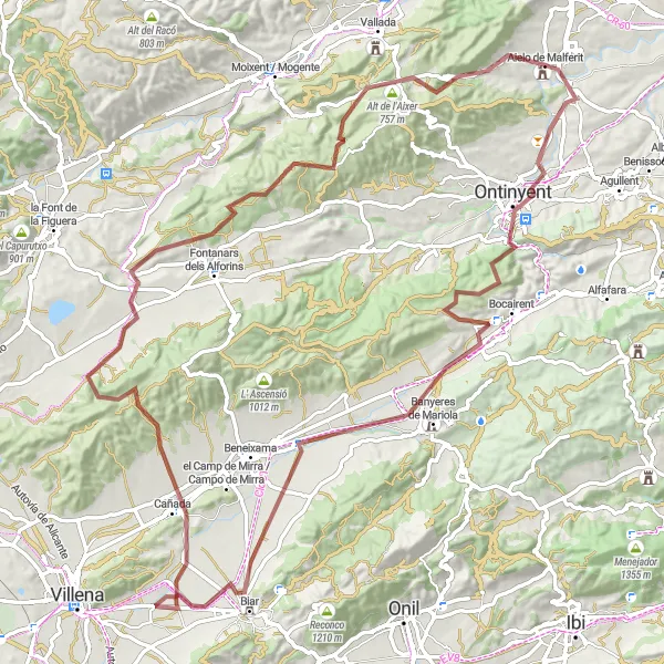
Embark on an exhilarating road cycling journey with scenic landscapes
This 83-kilometer road cycling route starting near Aielo de Malferit offers a thrilling adventure for cyclists of all levels. With a total ascent of 1,697 meters, this route provides a challenge for experienced riders while still offering breathtaking views and picturesque towns to explore. From Aielo de Malferit to Palau-Castell de los Malferit, this route showcases the diverse beauty of Comunitat Valenciana.
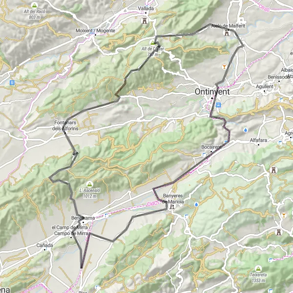
Embark on a road cycling adventure through stunning landscapes near Aielo de Malferit.
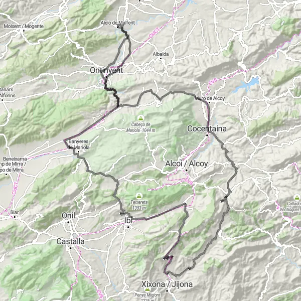
This road cycling route covers a distance of 92 km with a total ascent of 1655 m. Highlights of the route include the historic town of Ontinyent, the charming village of Banyeres de Mariola, and the scenic el Camp de Mirra. With a difficulty rating of 4, it is suitable for well-trained amateurs. The route earns an epicness rating of 4 due to its challenging sections and picturesque landscapes, making it a memorable cycling experience.
Embark on a thrilling gravel adventure surrounded by natural beauty
This 107-kilometer gravel route takes you on a scenic journey around Aielo de Malferit, immersing you in the stunning landscapes of Comunitat Valenciana. With a hefty ascent of 1,633 meters, this route is perfect for experienced gravel cyclists looking for a challenge. Enjoy breathtaking views from the top and explore picturesque towns along the way.
Embark upon a gravel exploration of Bocairent, taking in the stunning sights of Alt de les Olles and Bocairent.
Embark on a gravel adventure covering 74 km and 1411 m of ascent. This route offers a chance to explore the scenic areas of Bocairent, including the picturesque Alt de les Olles and the charming town of Bocairent itself. With a moderate level of difficulty, it is suitable for well-trained amateurs. The route receives an epicness rating of 4 due to its challenging sections and beautiful scenery.
Indulge in a picturesque road cycling experience amidst beautiful landscapes
Experience the beauty of Comunitat Valenciana with this 73-kilometer road cycling route starting near Aielo de Malferit. With a moderate ascent of 1,199 meters, this route offers a scenic journey through the region's charming towns and stunning natural landscapes. From Ontinyent to Aielo de Malferit, this route allows you to soak in the rich culture and history of the area while enjoying a fulfilling cycling adventure.
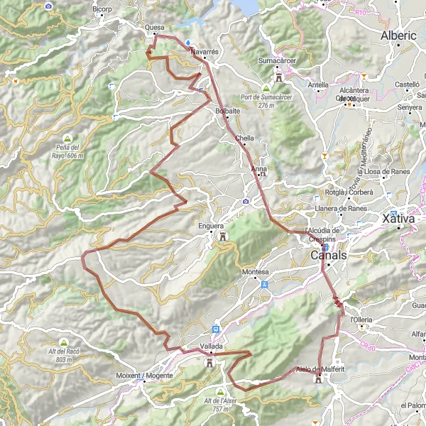
Embark on an epic gravel adventure through Bolbaite and witness the natural beauty of Playamonte.
This gravel route covers a distance of 108 km and offers an epic adventure through Bolbaite. With an ascent of 1934 m, it provides ample opportunities to test your endurance. Highlights include Penya de l'Àguila, a unique rock formation with stunning views, and Playamonte, a breathtaking natural area. The route is moderately difficult and is suitable for well-trained amateurs. With an epicness rating of 4, it promises an unforgettable cycling experience.
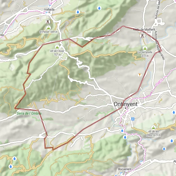
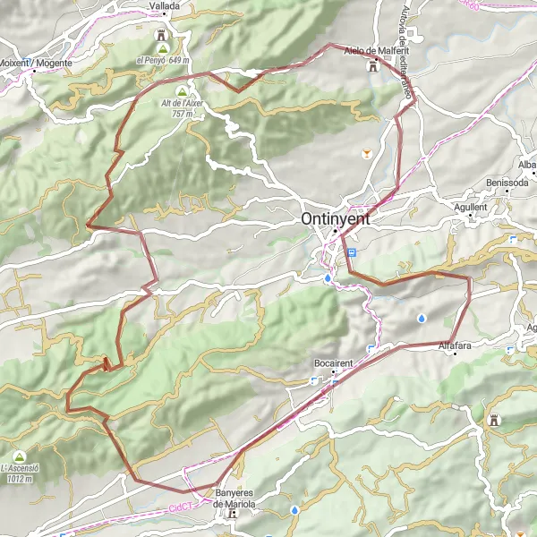
Explore the beautiful landscapes and challenge yourself on the Alt de l'Aixer climb.
This gravel route takes you through stunning scenery near Aielo de Malferit. The highlight of the route is the ascent of Alt de l'Aixer, offering a challenging climb and breathtaking views. With a moderate difficulty level, this route is suitable for well-trained amateurs. Epicness rating of 4 makes it a memorable and rewarding cycling experience.
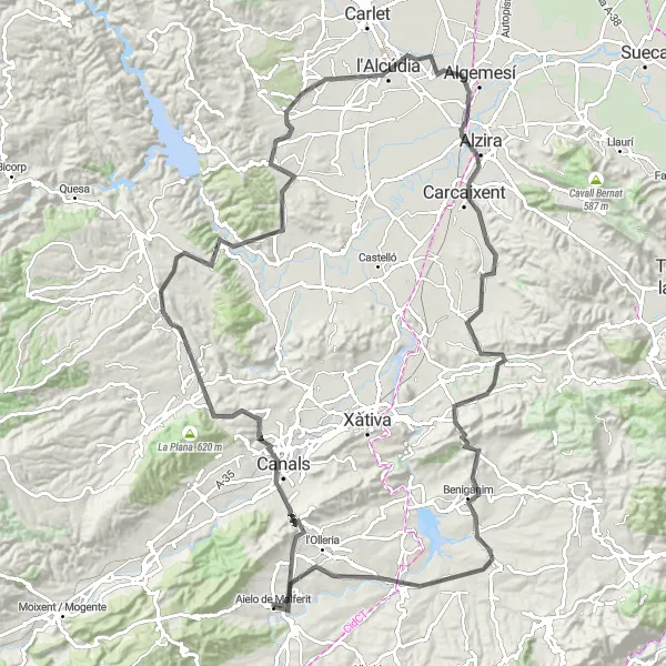
Immerse yourself in the beauty of Comunitat Valenciana on this scenic road cycling loop
Embark on a breathtaking adventure with this 127-kilometer road cycling route around Aielo de Malferit. Offering a moderate ascent of 1,349 meters, this route allows you to explore the scenic landscapes and charming towns of the region. From Anna to Passeig de l’Eixample, be prepared to be awestruck by the natural beauty and rich cultural heritage.
Cycling routes nearby:
Nearby regions: