Cofrentes Gravel Adventure
A gravel cycling route starting from Ayora
An adventurous gravel cycling route from Ayora to Cofrentes
Map
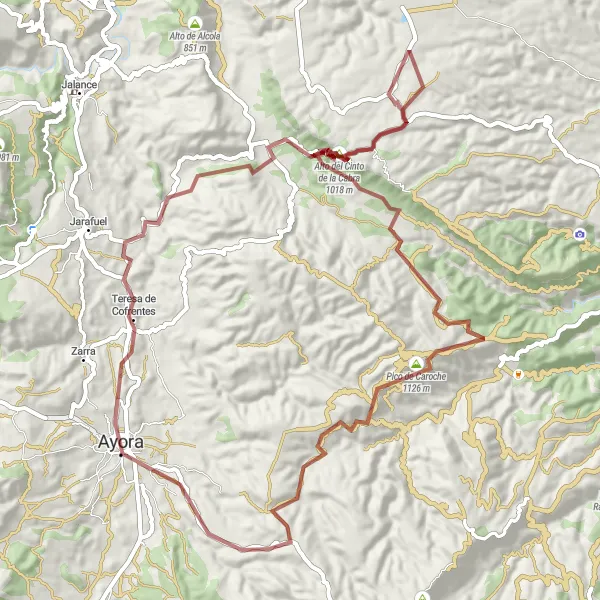
The Cofrentes Gravel Adventure is a thrilling off-road cycling route starting from Ayora and leading to Cofrentes. This gravel route offers riders a chance to explore remote landscapes and conquer the challenging Alto del Cinto de la Cabra.
gravel
84 km
1809 m
Tough
Route profile
Highlights on the route
0 km
0 km
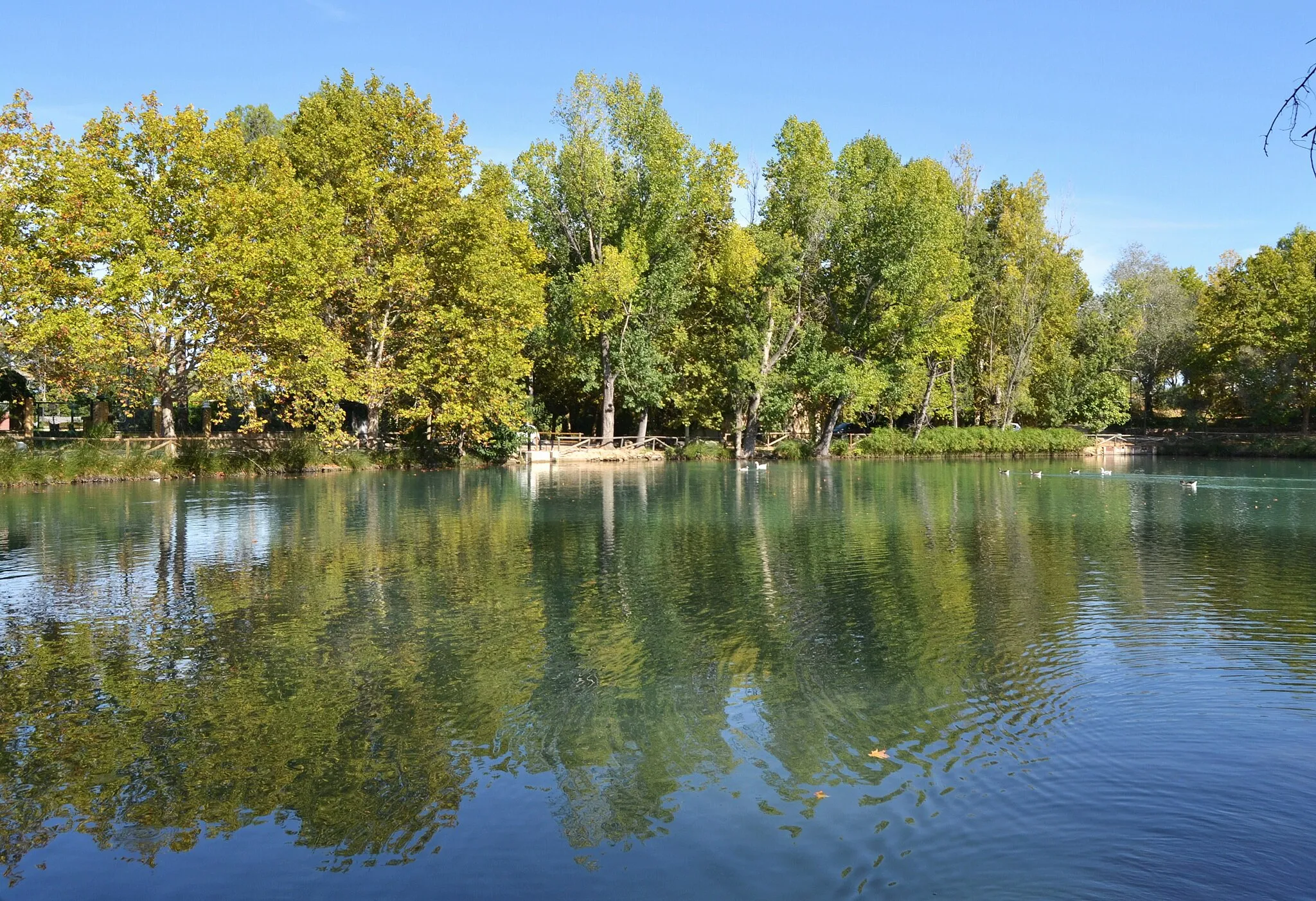
Start: Ayora City centerAyora: Challenge yourself on the scenic cycling routes of Ayora, Comunitat Valenciana.
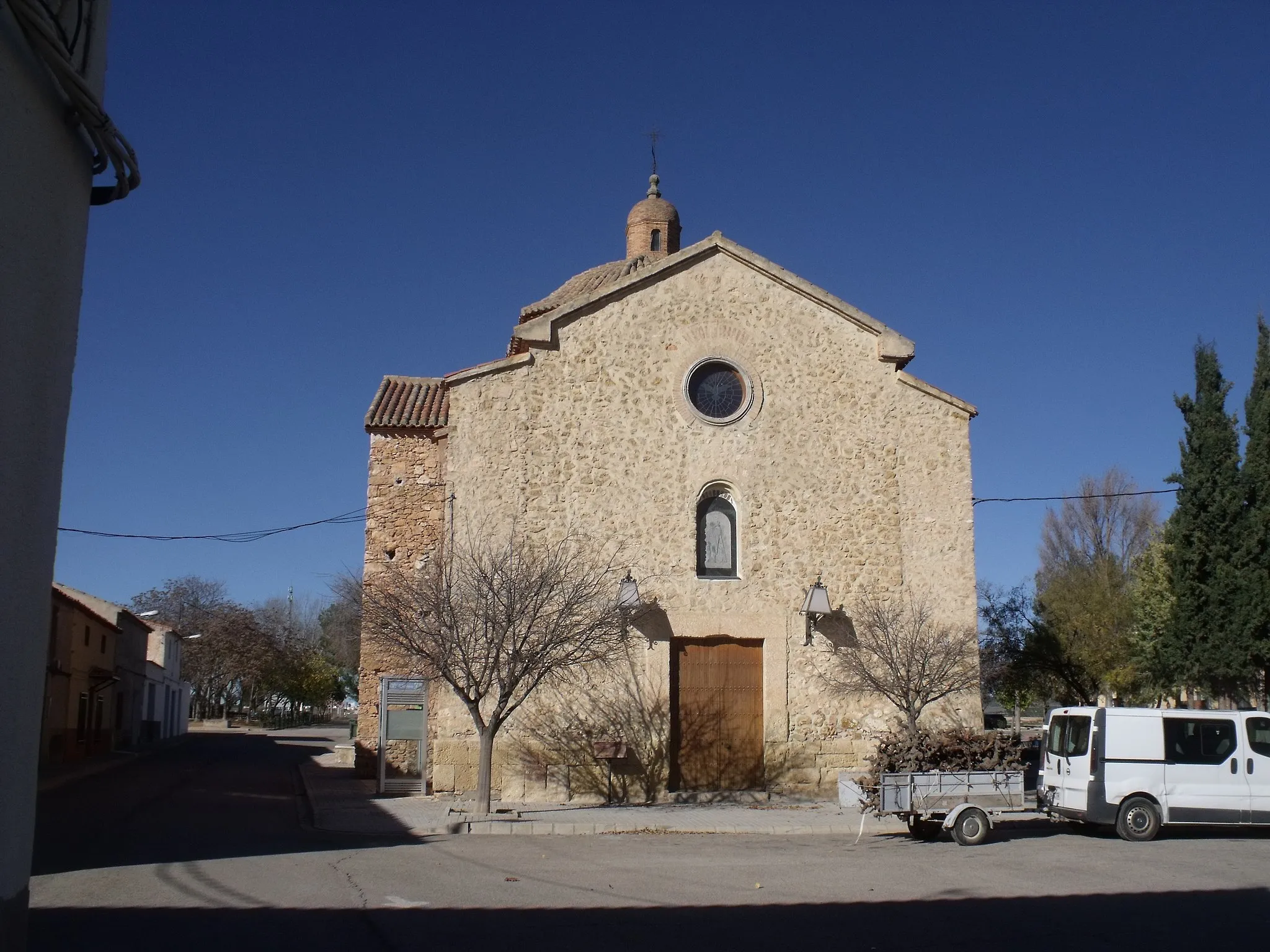
Ayora is a locality situated in the Comunitat Valenciana region of Spain. It is a favorite destination for road and gravel cyclists due to its beautiful landscapes and challenging routes. Ayora offers a variety of cycling options, from gentle paths to demanding climbs. One of the well-known climbs near Ayora is Alto de la Tejera, which provides a thrilling and rewarding experience for cyclists. Ayora also has cyclist-friendly amenities, including bike repair shops and cyclist-friendly accommodations.5 km
5 km
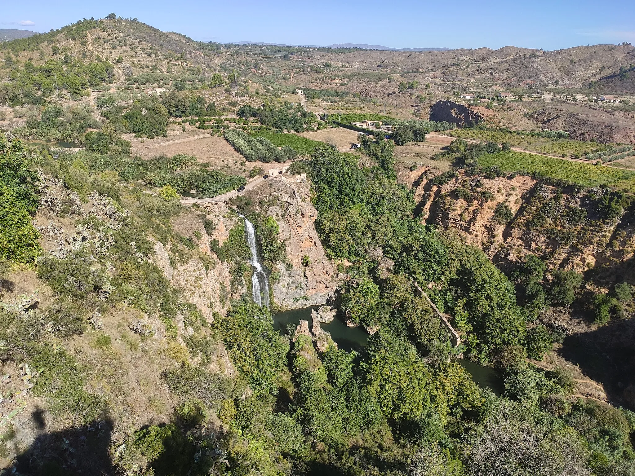
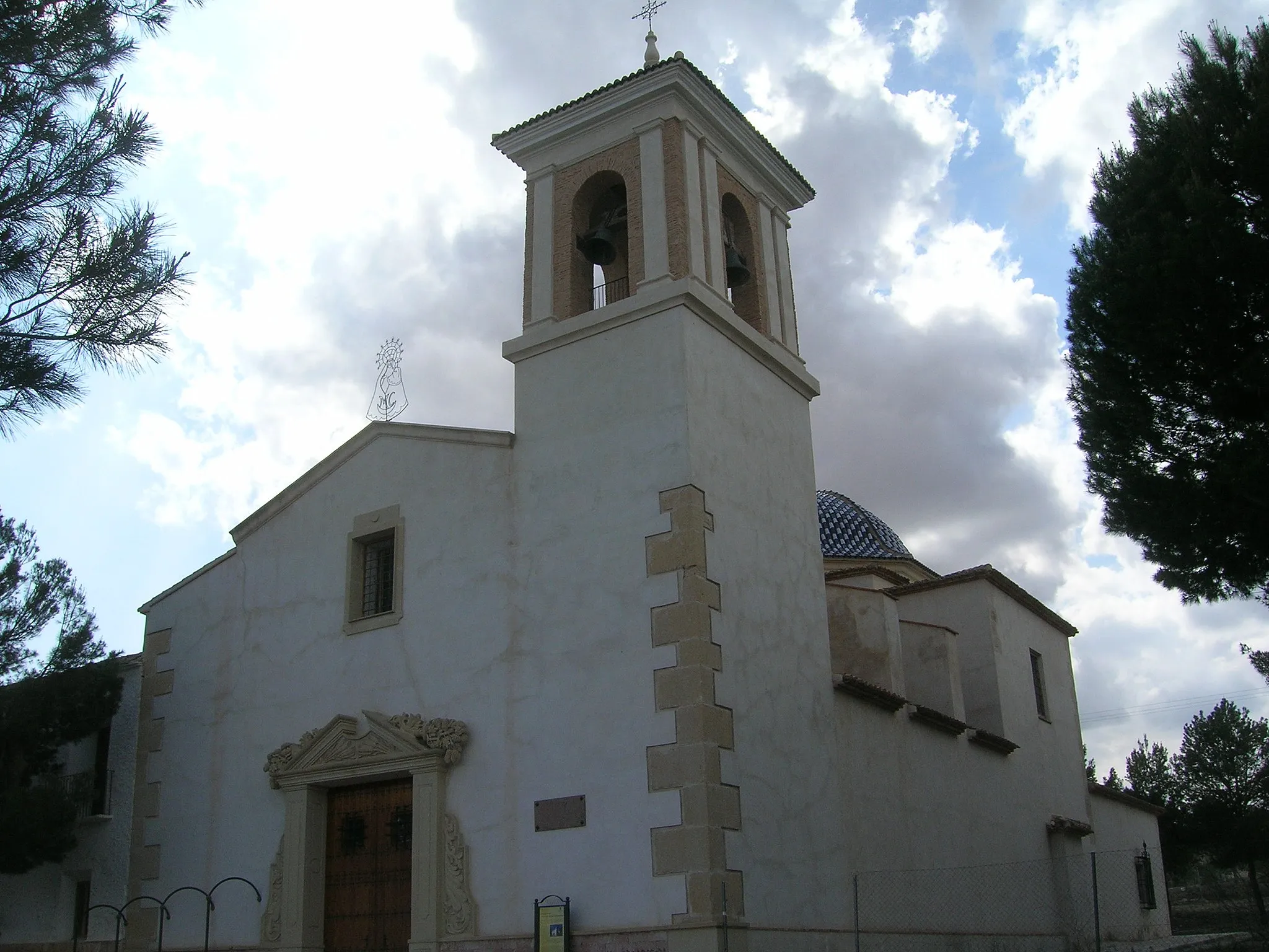
Teresa de CofrentesVillageTeresa de Cofrentes is a picturesque village located on the banks of the Júcar River, with stunning natural scenery.
25 km
25 km
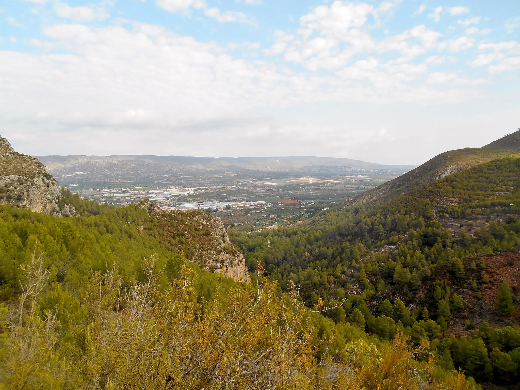
Alto del Cinto de la Cabra1018 mPeakAlto del Cinto de la Cabra is a demanding climb with gradients reaching up to 10%, providing a true challenge for gravel cyclists.
61 km
61 km
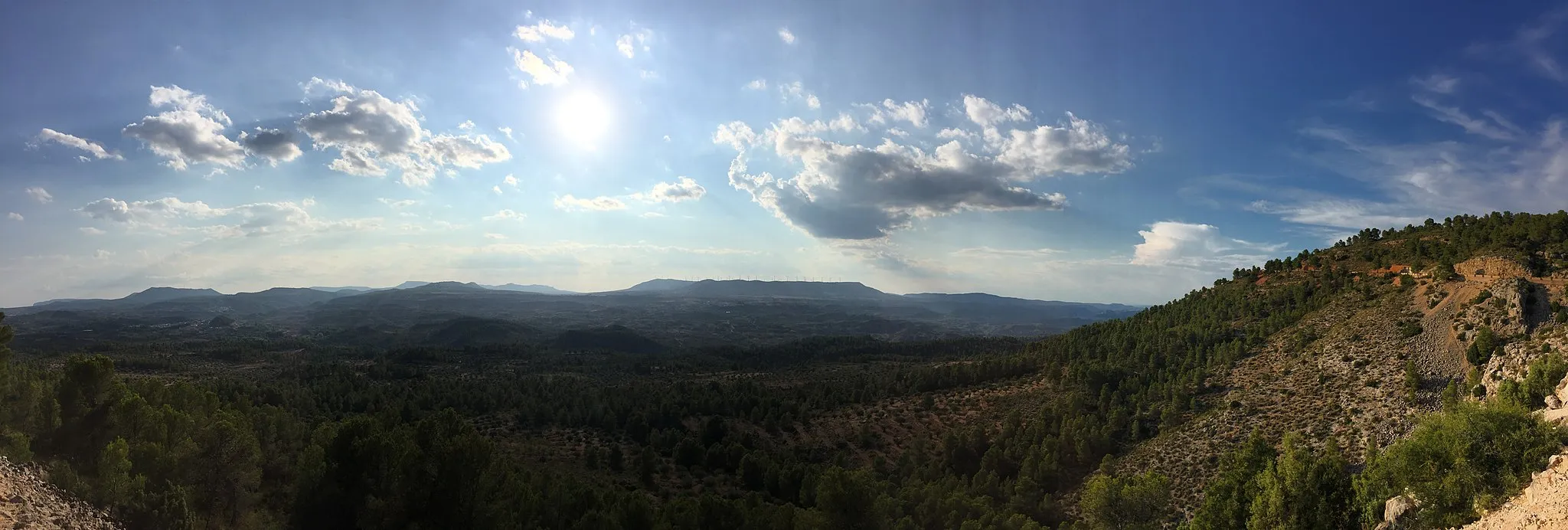
Pico de Caroche1126 mPeakPico de Caroche is a scenic viewpoint offering panoramic views of the surrounding mountains and valleys.
84 km
84 km
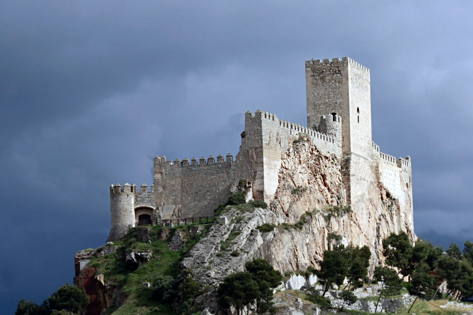
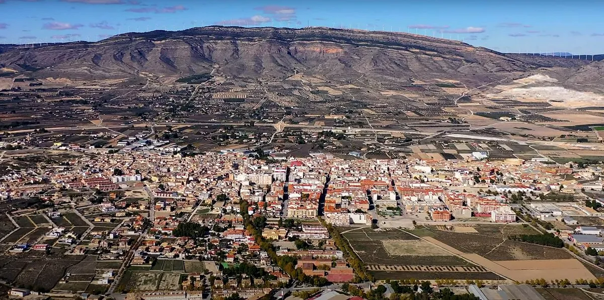
Castillo de AyoraCastleCastillo de Ayora is a medieval castle located in Ayora, steeped in history and offering a glimpse into the region's past.
84 km
84 km
Finish: Ayora City centerAyora: Challenge yourself on the scenic cycling routes of Ayora, Comunitat Valenciana.
Cycling routes nearby: