Navalón Challenge
A road cycling route starting from Ayora
An epic road cycling challenge with steep climbs
Map
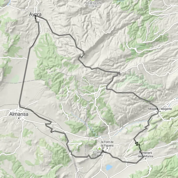
The Navalón Challenge is an epic road cycling route that combines breathtaking countryside views with challenging uphill climbs. The route takes riders through scenic locations including the iconic Castillo de Ayora and Fontanars dels Alforins.
road
129 km
1746 m
Tough
Route profile
Highlights on the route
0 km
0 km
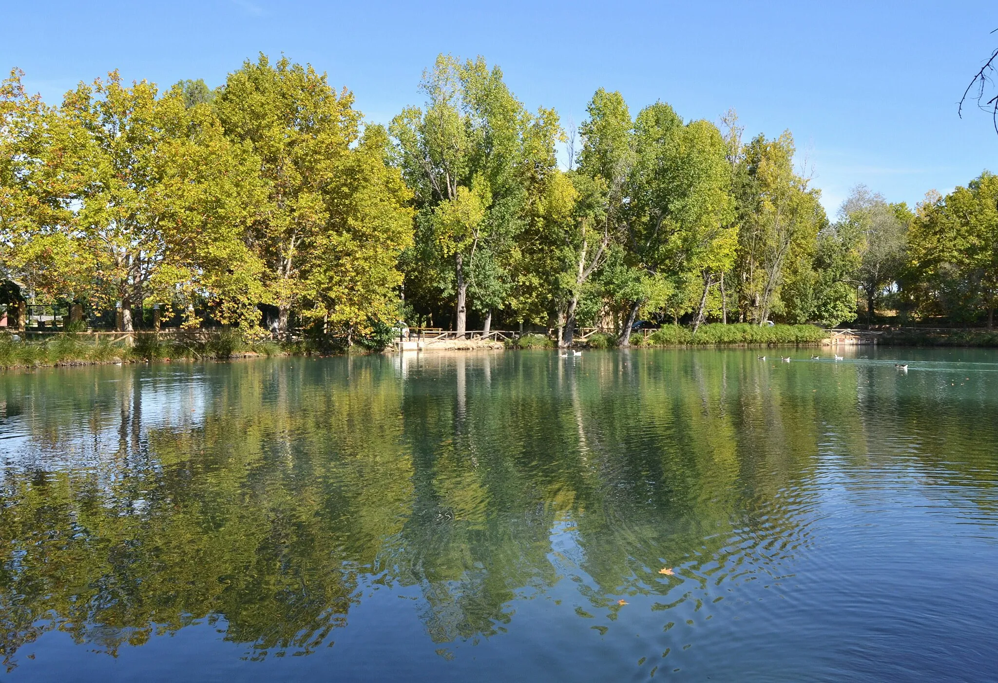
Start: Ayora City centerAyora: Challenge yourself on the scenic cycling routes of Ayora, Comunitat Valenciana.
Ayora is a locality situated in the Comunitat Valenciana region of Spain. It is a favorite destination for road and gravel cyclists due to its beautiful landscapes and challenging routes. Ayora offers a variety of cycling options, from gentle paths to demanding climbs. One of the well-known climbs near Ayora is Alto de la Tejera, which provides a thrilling and rewarding experience for cyclists. Ayora also has cyclist-friendly amenities, including bike repair shops and cyclist-friendly accommodations.0 km
0 km
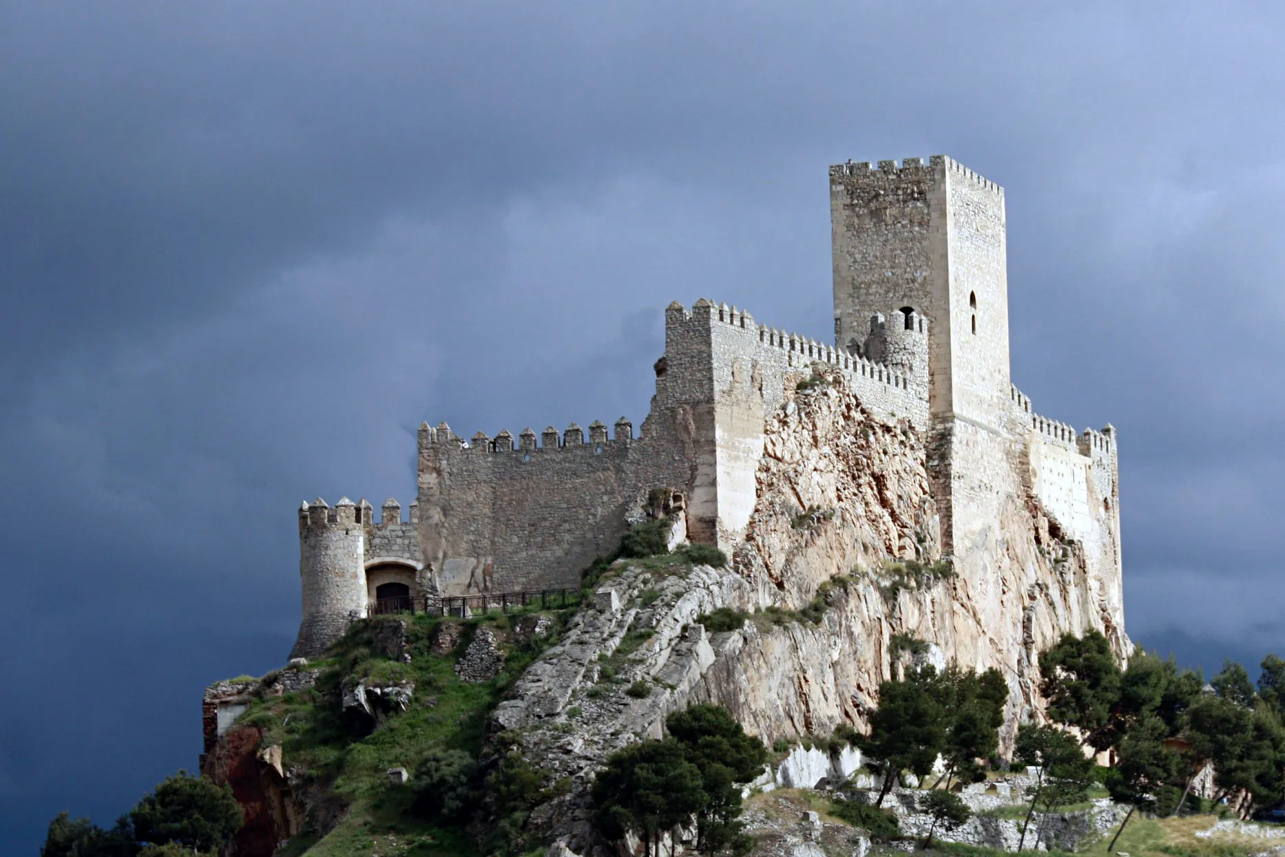
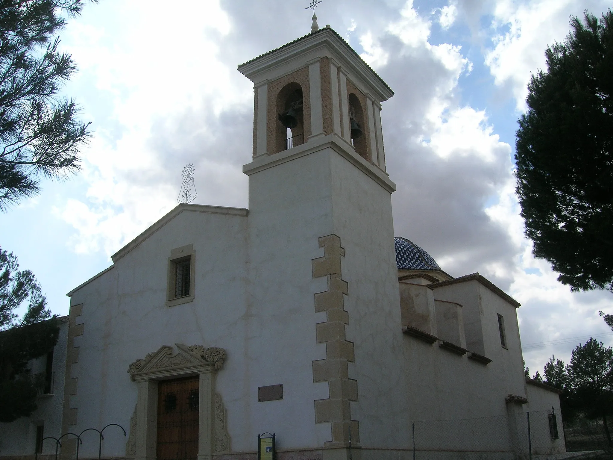
Castillo de AyoraCastleCastillo de Ayora is a medieval castle located in Ayora, offering panoramic views of the surrounding countryside.
34 km
34 km
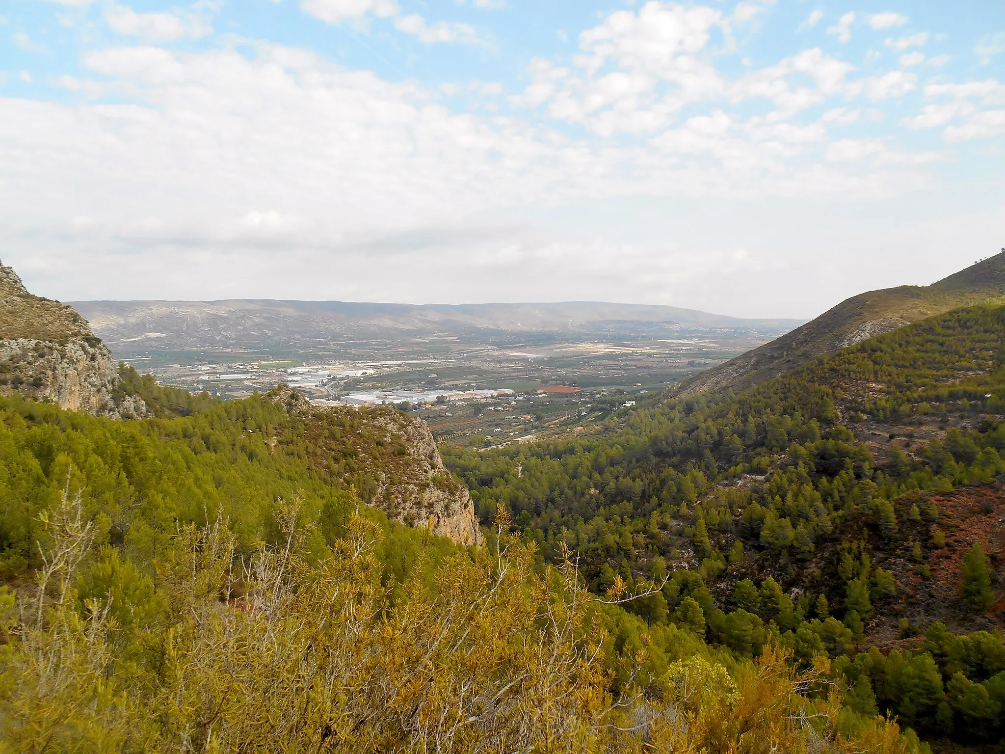
Navalón de AbajoHamletNavalón de Abajo is a small village set amidst rugged mountains, providing stunning views during the climb.
41 km
41 km
El Puntalet785 mPeakEl Puntalet is a picturesque mountain pass with hairpin bends and breathtaking vistas.
50 km
50 km
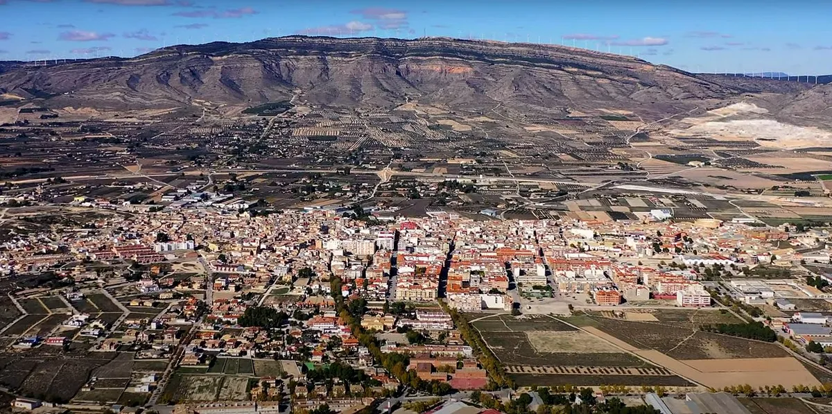
Moixent / MogenteVillageMoixent / Mogente is a charming town known for its olive oil production and historic architecture.
67 km
67 km
Fontanars dels AlforinsVillageFontanars dels Alforins is a beautiful village surrounded by vineyards and wineries, offering a taste of the region's famous wines.
77 km
77 km
la Font de la FigueraVillageLa Font de la Figuera is a traditional Spanish village with narrow streets and historic buildings.
77 km
77 km
el Capurutxo901 mPeakEl Capurutxo is a small hamlet known for its stone houses and tranquil atmosphere.
118 km
118 km
Casas de MadronaHamletCasas de Madrona is a charming village with traditional architecture and a peaceful atmosphere.
129 km
129 km
Finish: Ayora City centerAyora: Challenge yourself on the scenic cycling routes of Ayora, Comunitat Valenciana.
Cycling routes nearby: