Xàtiva Gravel Loop
A gravel cycling route starting from Ontinyent
Experience the charm of Xàtiva and its surrounding areas on this scenic gravel loop.
Map
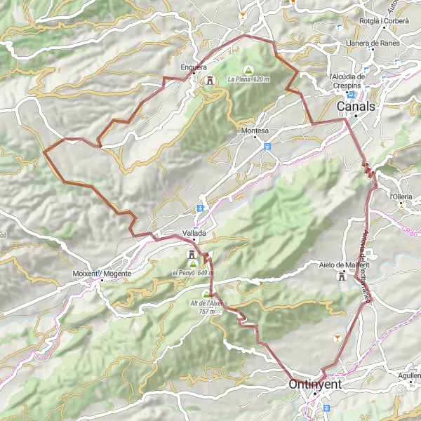
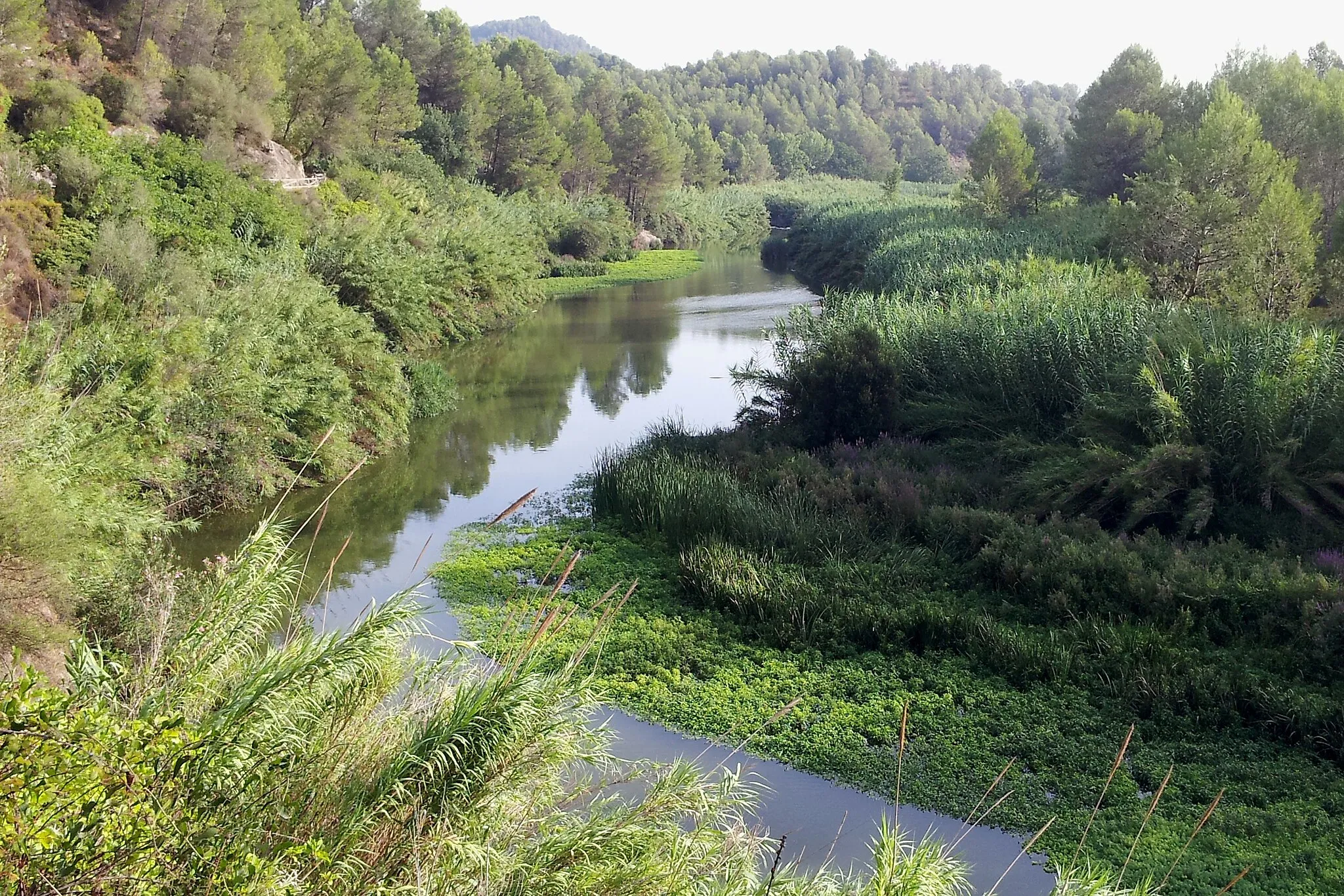
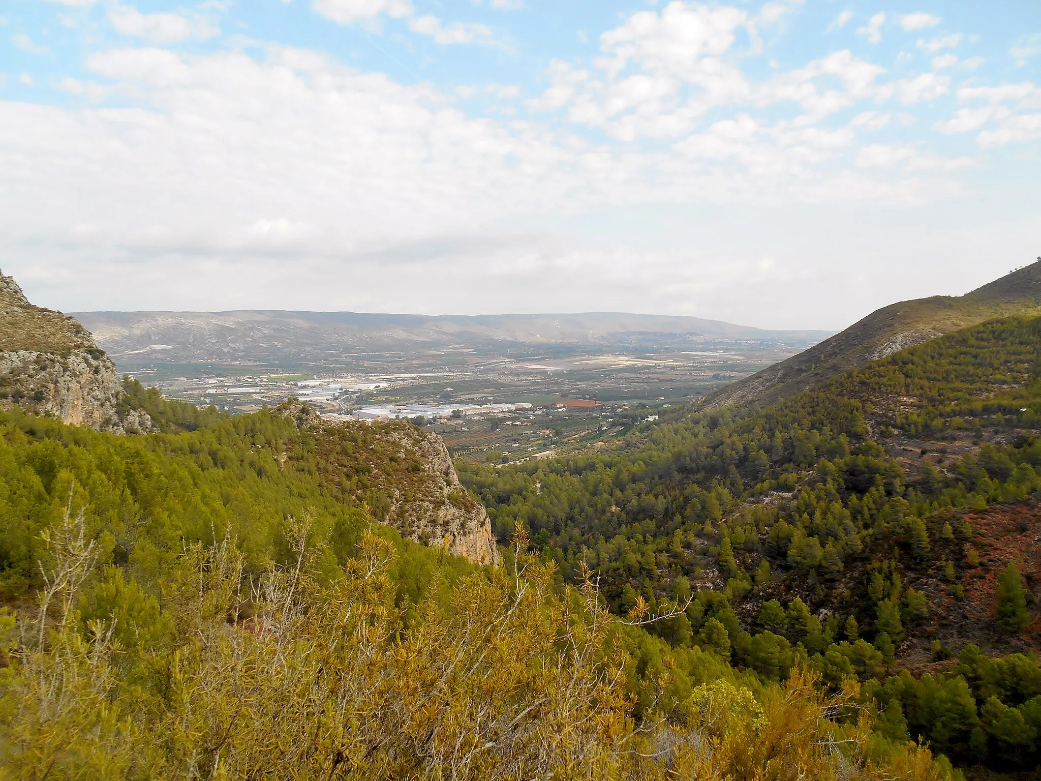
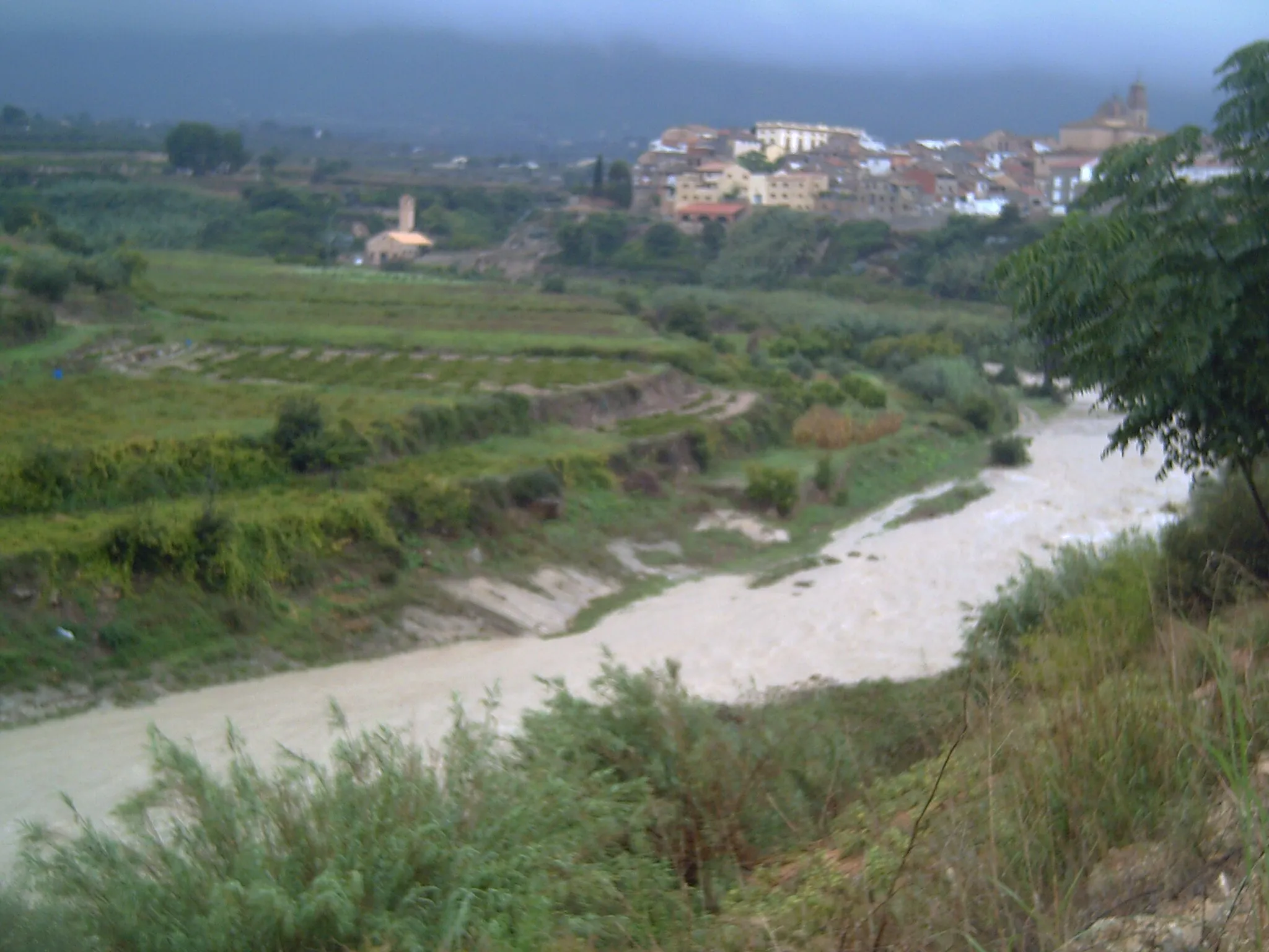
Explore the charming area of Xàtiva and its surrounding picturesque landscapes on this engaging gravel cycling route. With a total ascent of 1,435 meters and a distance of 76 kilometers, it offers a challenging yet enjoyable ride for gravel enthusiasts. Starting near Ontinyent, the route passes highlights such as the Penya de l'Àguila and Aielo de Malferit, providing panoramic views and a glimpse into the region's rich history. Suitable for experienced riders, this route combines moderate climbs and rolling terrain, showcasing the natural beauty of the region. Xàtiva is a historical town with a well-preserved castle and traditional Spanish architecture, making it a must-visit destination for history enthusiasts.
gravel
76 km
1435 m
Tough
Route profile
Highlights on the route
0 km
0 km
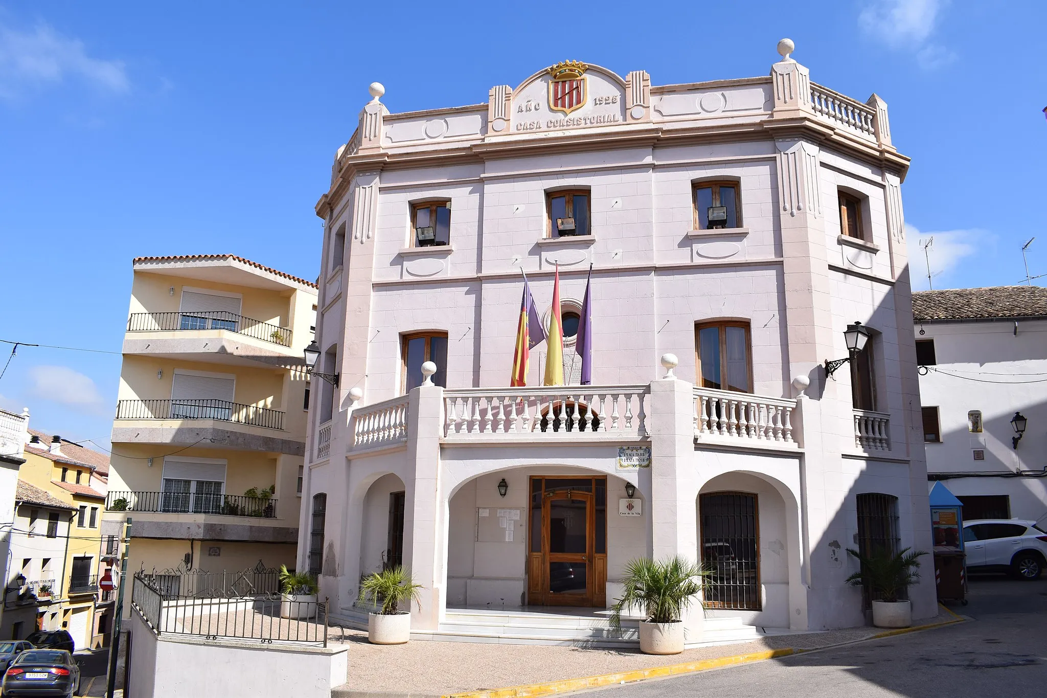
Start: Ontinyent City centerOntinyent: Cycling-friendly locality with scenic routes and vibrant community
Ontinyent, located in the Comunitat Valenciana region of Spain, is a cyclist-friendly locality with a variety of routes suitable for road and gravel cyclists. The town itself has a network of bike lanes and infrastructure, making it easy and safe to navigate by bicycle. Nearby, cyclists can enjoy the iconic climb up to Port de Canals, known for its stunning viewpoints and challenging ascent. Ontinyent is also home to several annual cycling events and boasts a vibrant cycling community. With its cycling infrastructure, scenic routes, and lively atmosphere, Ontinyent is a fantastic destination for cyclists of all levels.0 km
0 km
OntinyentTownOntinyent, the starting point of the route, is a historical town renowned for its textile industry and traditional festivals.
14 km
14 km
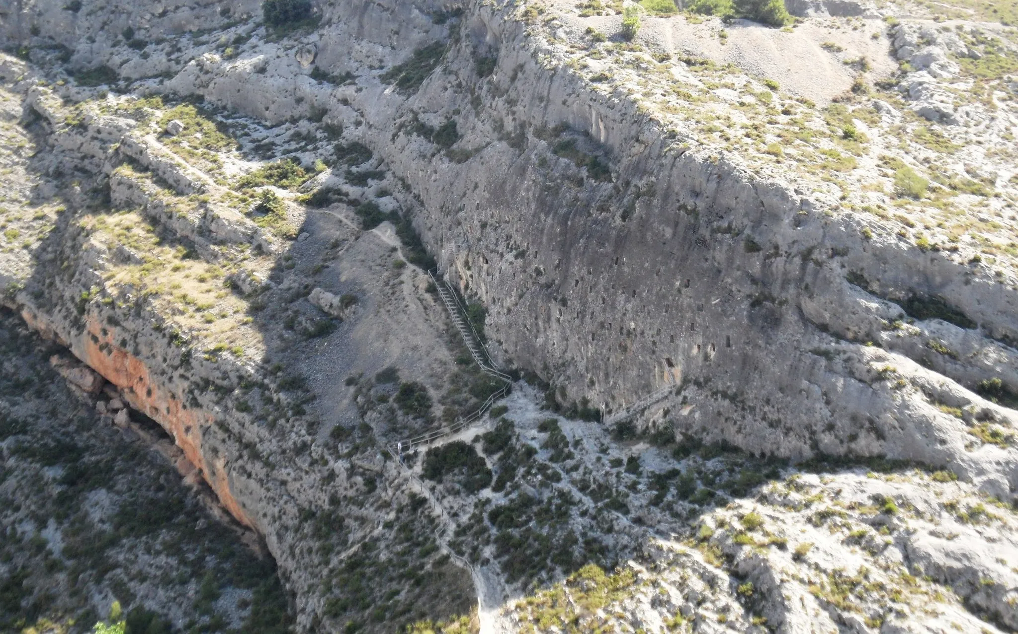
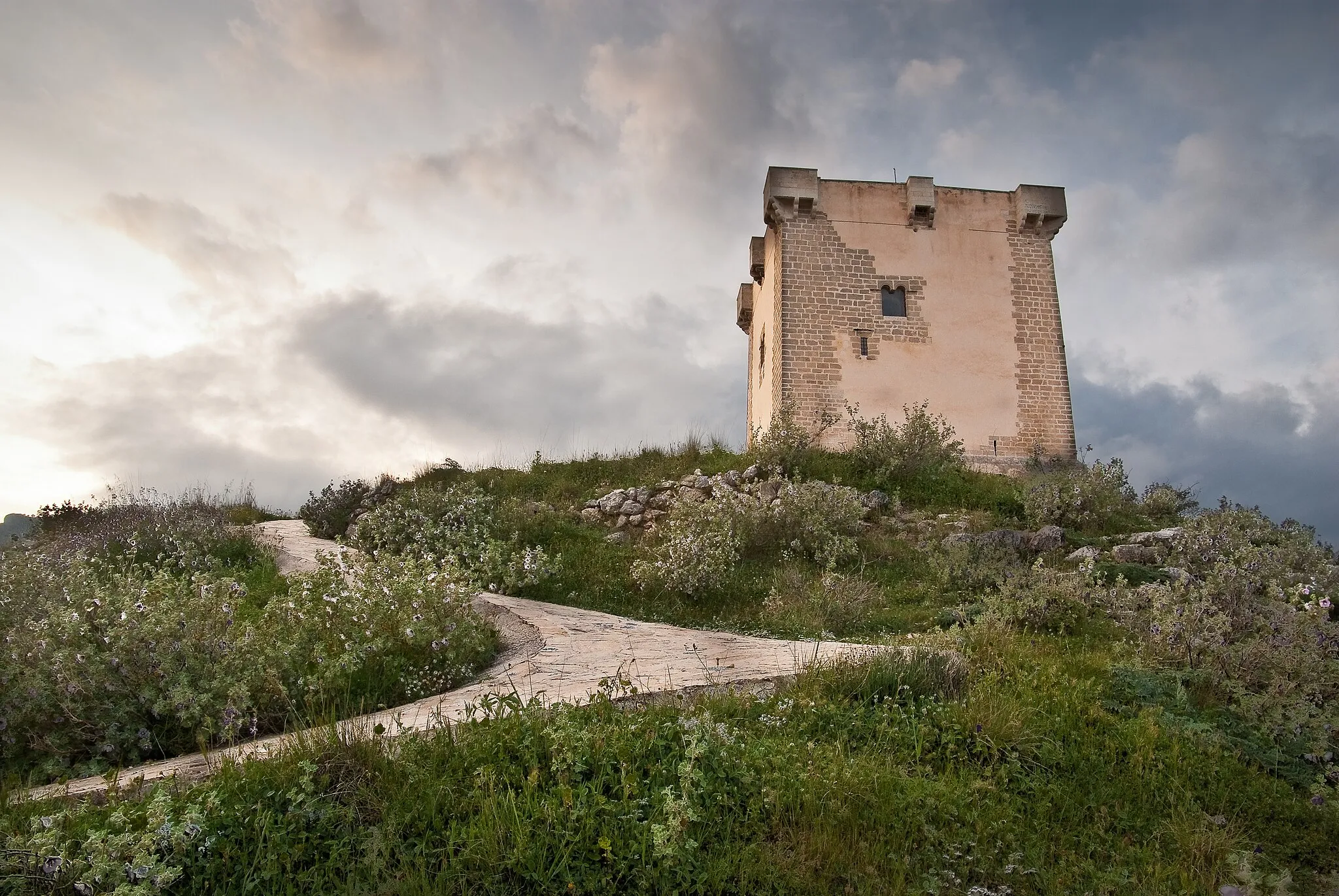
Penya de l'Àguila438 mPeakLocated at 14 kilometers into the route, the Penya de l'Àguila offers panoramic views of the surrounding countryside.
41 km
41 km
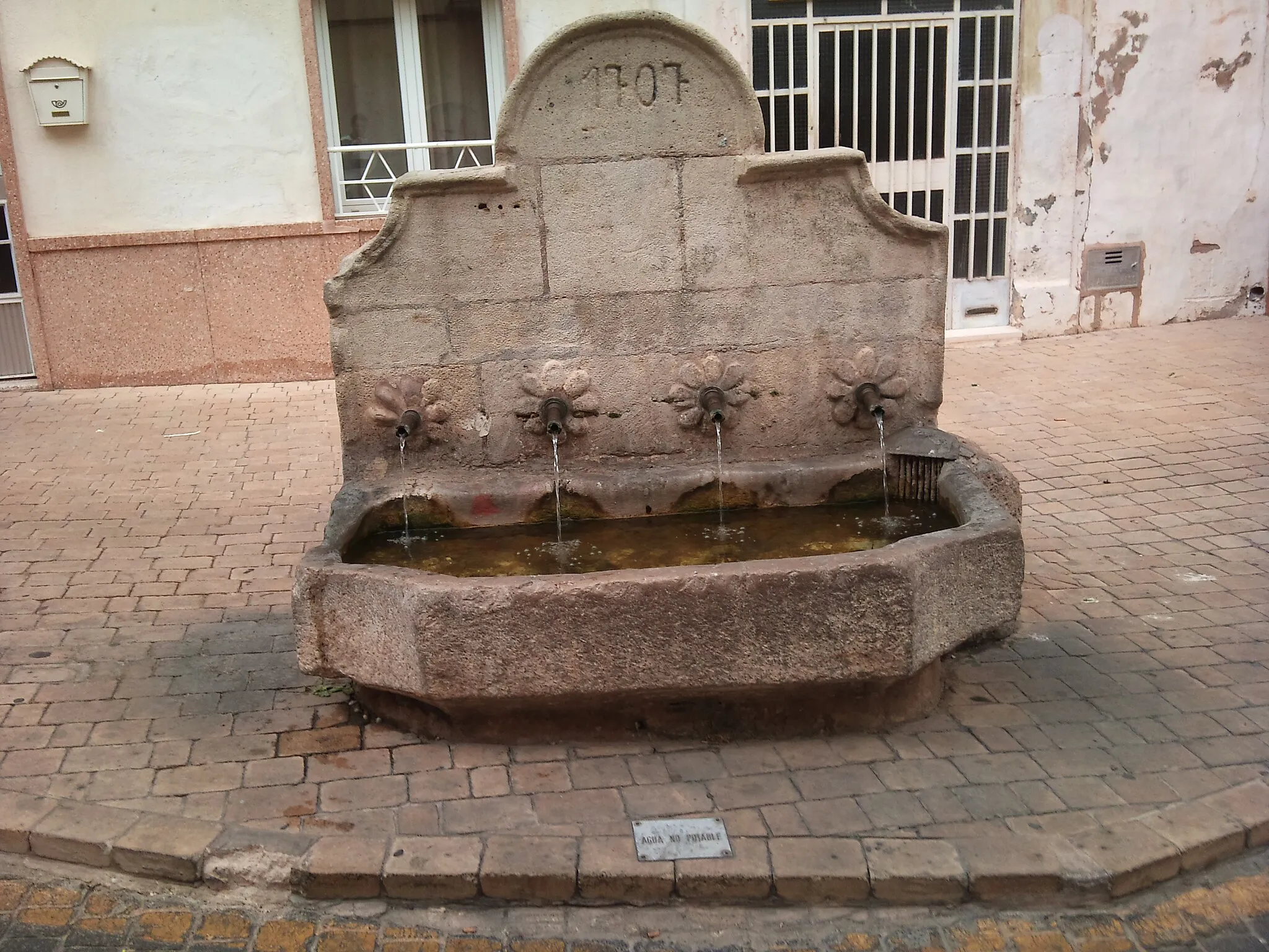
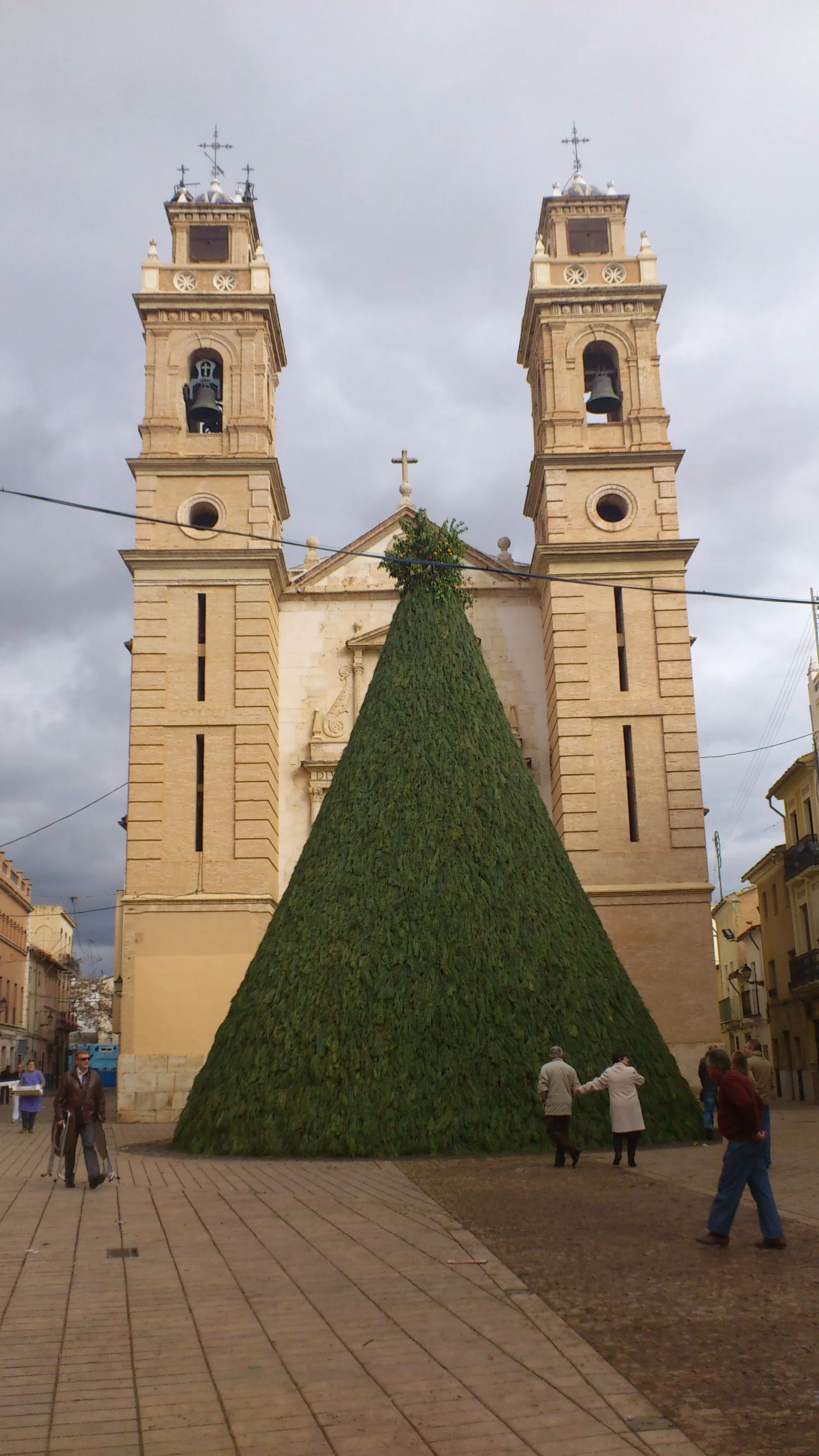
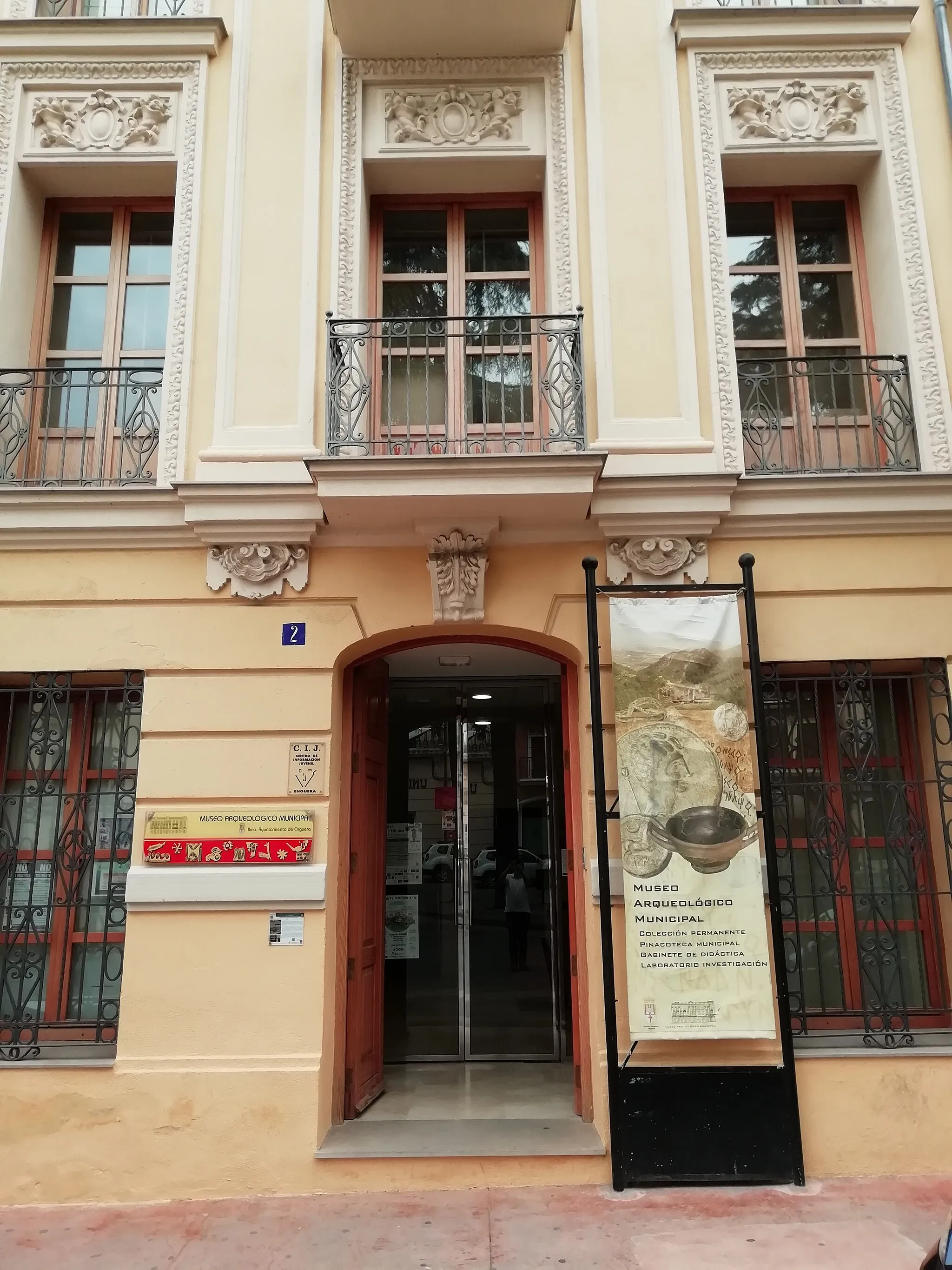
EngueraVillageEnguera is a small town along the route that boasts beautiful architecture and a charming atmosphere.
55 km
55 km
CanalsTownCanals is a picturesque village with a rich agricultural history and a lively weekly market.
67 km
67 km
Aielo de MalferitVillageAielo de Malferit, located at 67 kilometers, is a charming village with picturesque streets and traditional Spanish architecture.
76 km
76 km
Finish: Ontinyent City centerOntinyent: Cycling-friendly locality with scenic routes and vibrant community
Cycling routes nearby: