Cycling paradise in the heart of Extremadura
Cycling routes from Zorita
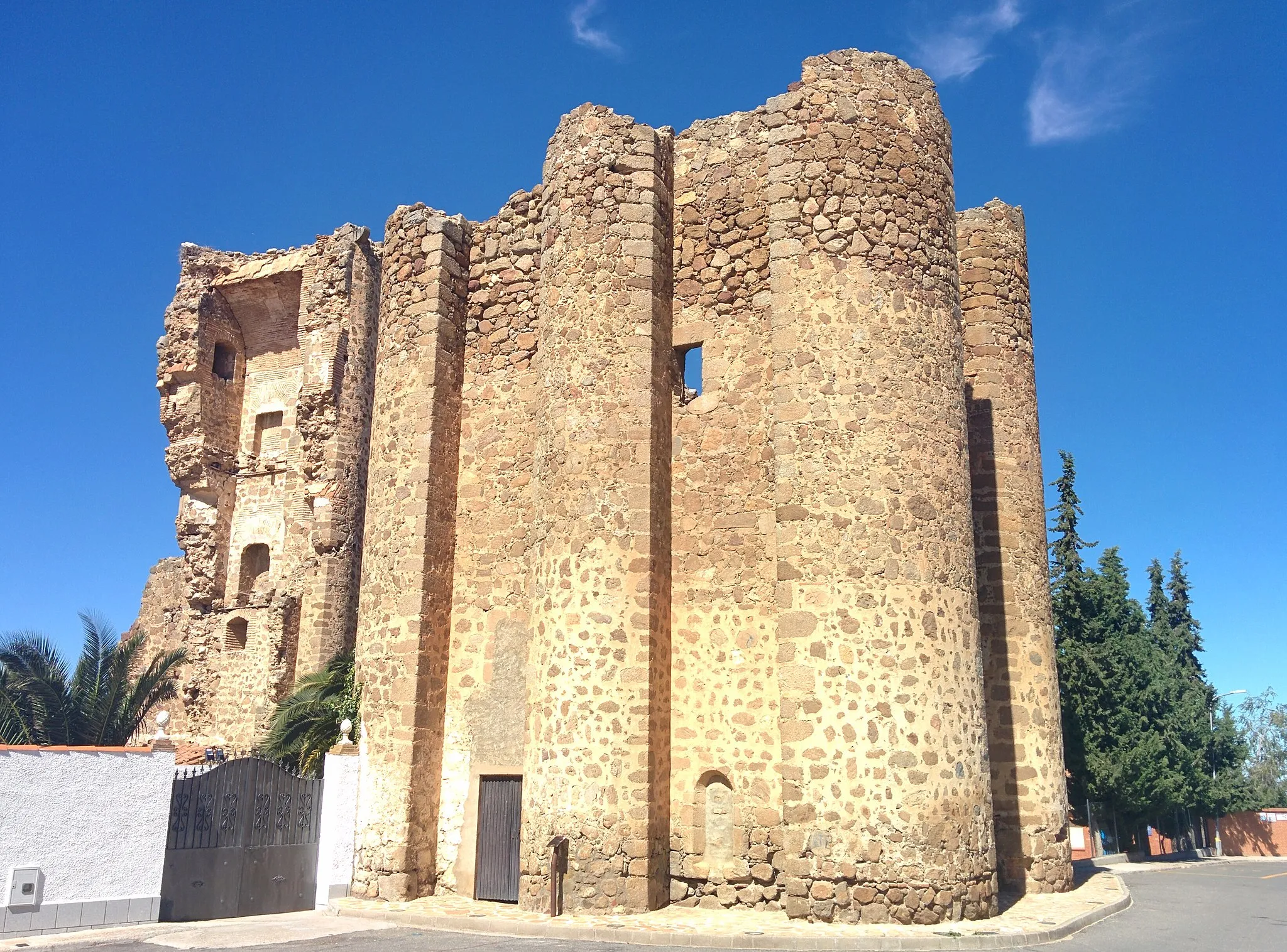
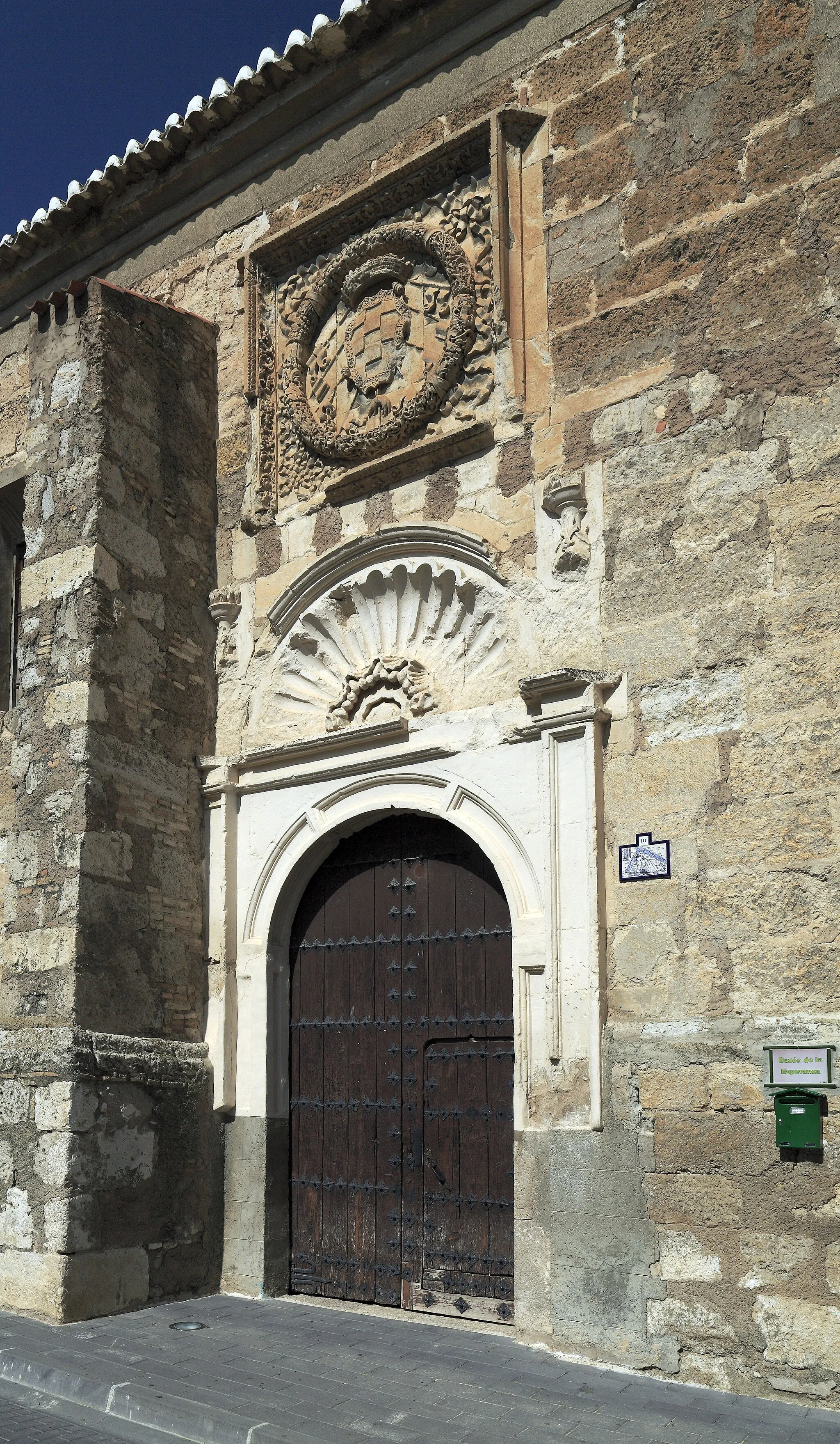
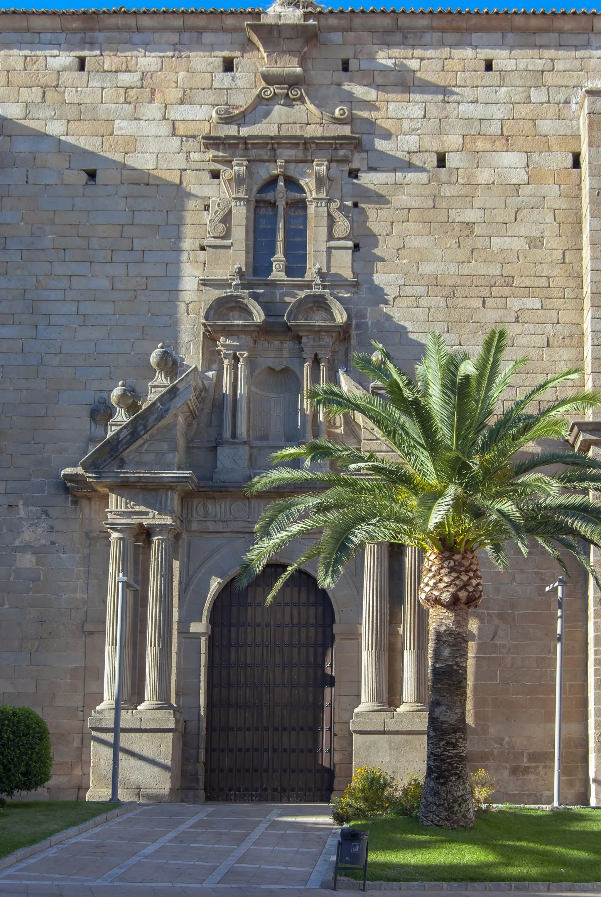
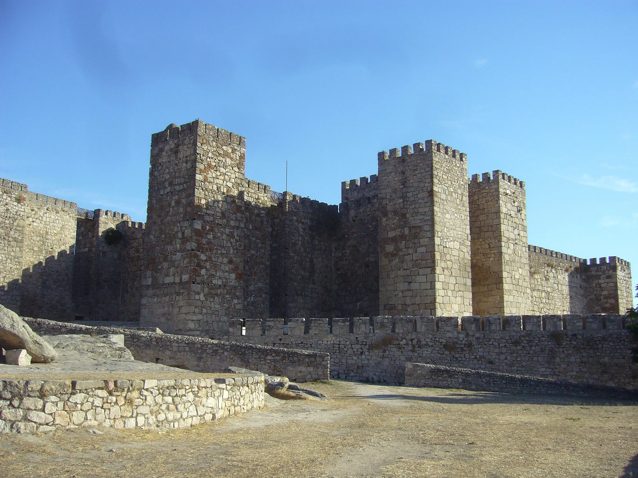
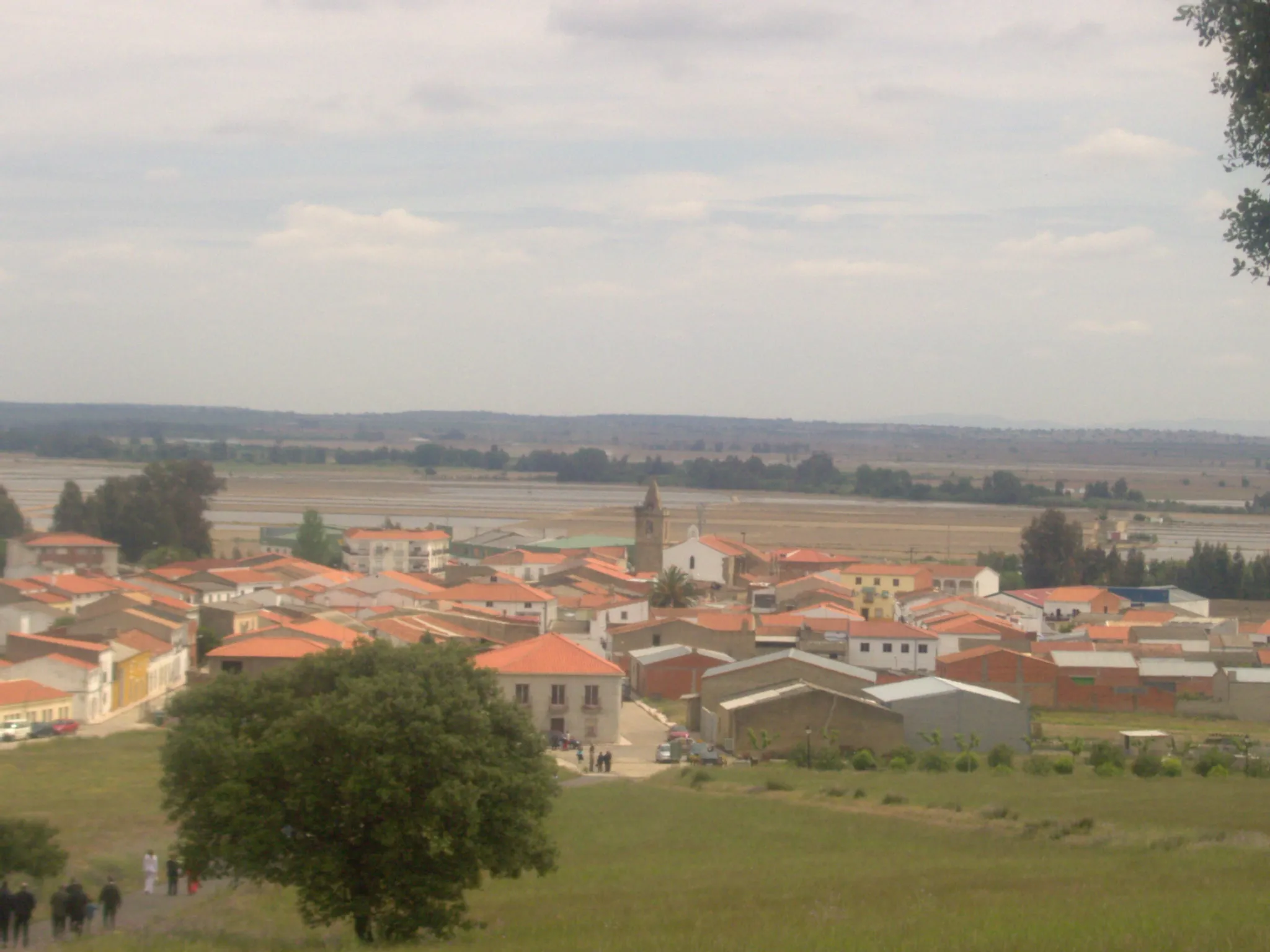
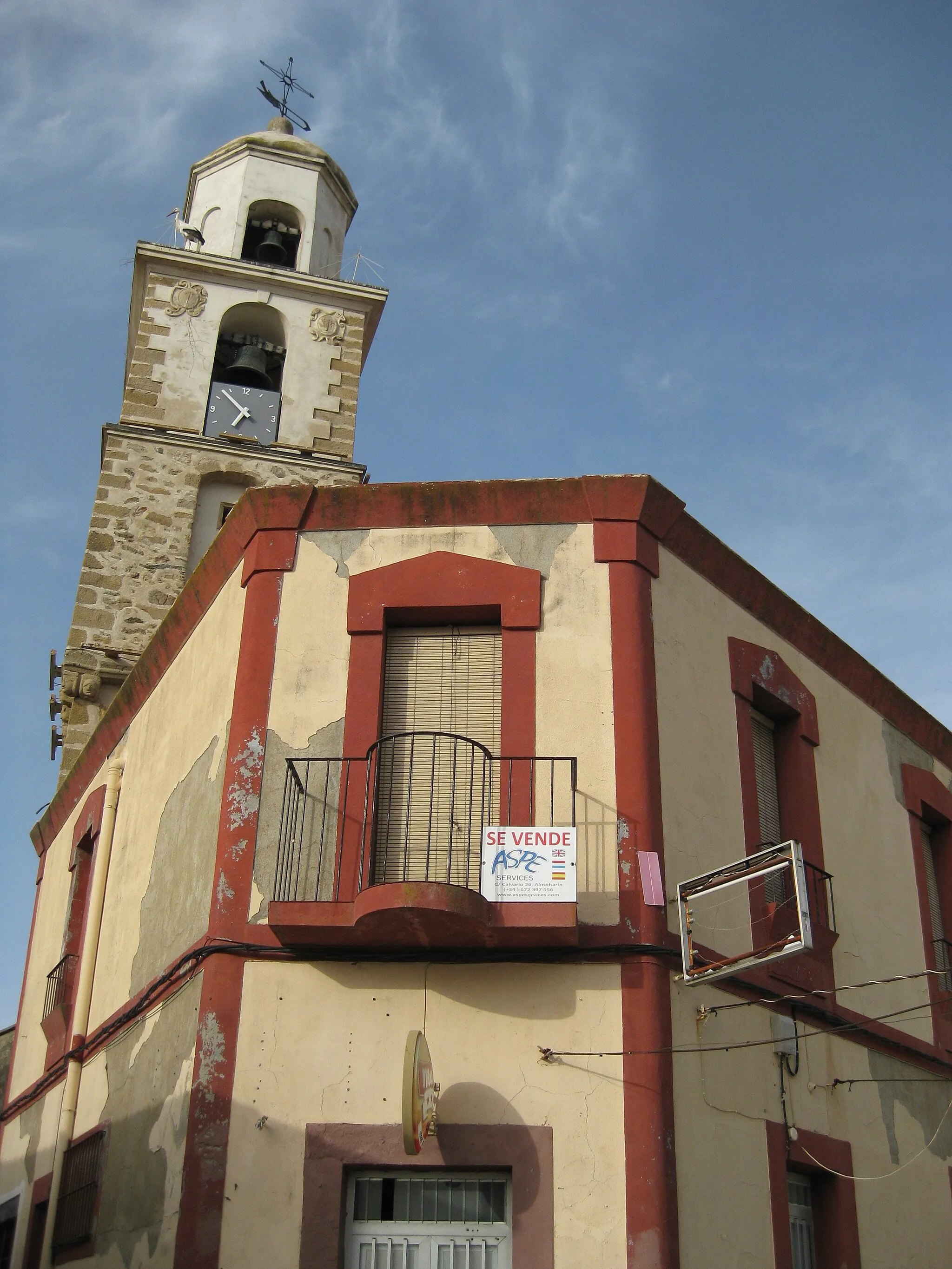
Zorita is a town located in Extremadura, Spain. As a road and gravel cyclist, Zorita offers a variety of scenic routes with beautiful landscapes and rolling hills. The roads are generally well-maintained, making it a pleasant place to ride. One notable cycling spot nearby is the Sierra de Tentudia, known for its challenging climbs and breathtaking views. Overall, Zorita is a great destination for both leisurely rides and more intense cycling adventures.
Embark on an epic cycling adventure from Zorita to Logrosán, tackling challenging climbs and enjoying breathtaking landscapes.
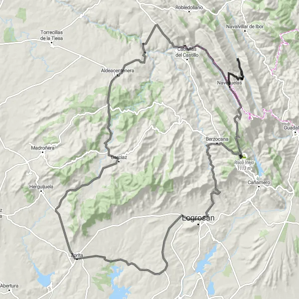
Experience the ultimate challenge with this road cycling route from Zorita to Logrosán. With a distance of 146 km and a total ascent of 2427m, this route is suitable for experienced cyclists seeking a challenging ride. Along the way, you will pass through Conquista de la Sierra, Garciaz, Aldeacentenera, Retamosa, Navezuelas, Risco Viejo, Berzocana, Logrosán, and EA4/CC-092 - Pico Fuente del Moro. The difficulty level is 5, as the route includes steep climbs and demanding terrain. The epicness rating is 4, highlighting the stunning natural landscapes and breathtaking views you will encounter during the ride.
An off-road adventure through the rugged terrain of Extremadura
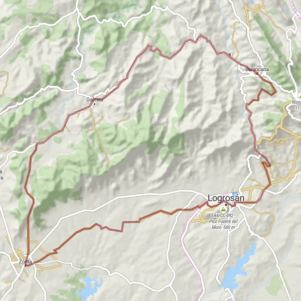
Embark on an exciting gravel cycling route from Zorita to Logrosán, covering a distance of 85 km and ascending 1,439 meters. This challenging route takes you through the stunning landscapes of Extremadura, with highlights including the picturesque town of Garciaz, the charming village of Berzocana, and the famous EA4/CC-092 - Pico Fuente del Moro, known for its breathtaking views. Experience the thrill of off-road cycling and immerse yourself in the natural beauty of the region.
Zorita Gravel Adventure
Embark on a thrilling gravel adventure from Zorita to Santa Cruz de la Sierra.
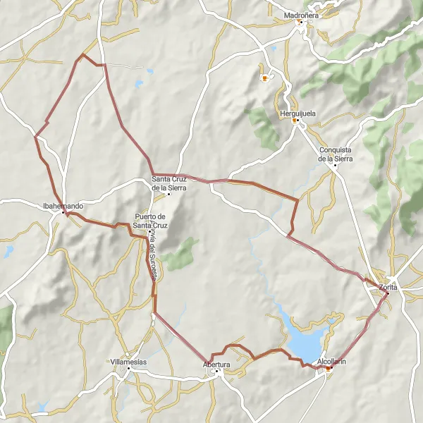
Experience the thrill of gravel cycling with this scenic route from Zorita to Santa Cruz de la Sierra. The total distance is 67 km with a total ascent of 629m. The route takes you through Alcollarín, Puerto de Santa Cruz, Ibahernando, and Santa Cruz de la Sierra. The difficulty level is moderate, suitable for well-trained gravel cyclists. The epicness rating is 3, offering beautiful natural landscapes and a variety of surfaces to conquer.
Cycle through picturesque villages and enjoy rural landscapes on this road cycling route.
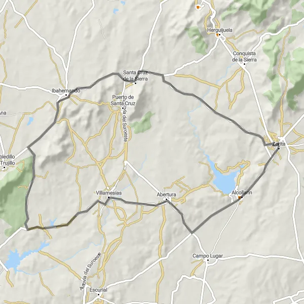
Starting near Zorita, this route is a road cycling adventure with a distance of 88 km and total ascent of 727m. The journey takes you through Alcollarín, Villamesías, Zarza de Montánchez, Ibahernando, and Zorita. The route offers a mix of flat sections and moderate climbs, making it suitable for experienced amateur cyclists. The overall epicness rating is 2, offering scenic countryside views along the way.
Zorita - Alcollarín Gravel Route
A scenic off-road journey from Zorita to Alcollarín
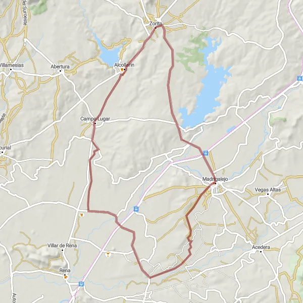
Experience the beauty of Extremadura on this gravel route that covers a distance of 67 km with an elevation gain of 272 meters. Starting in Zorita, you will pass through the charming town of Madrigalejo and the picturesque countryside of Campo Lugar before reaching Alcollarín. Enjoy the peacefulness of rural landscapes and discover the rich cultural heritage along the way.
Discover the picturesque village of Santa Cruz de la Sierra on this challenging cycling loop.
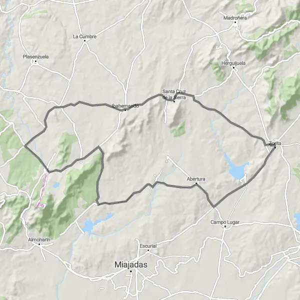
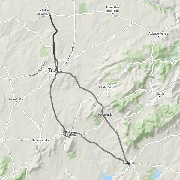
This road cycling route starts near Zorita and takes you through scenic landscapes, challenging climbs, and picturesque villages. The total distance is 86 km with a total ascent of 811m. The route passes through Santa Cruz de la Sierra, Trujillo, Herguijuela, and Zorita, offering a mix of historical attractions and natural beauty. The difficulty level of this route is moderate, suitable for well-trained amateur cyclists. The epicness rating is 3, highlighting beautiful landscapes along the way.
Logrosán - Zorita Gravel Route
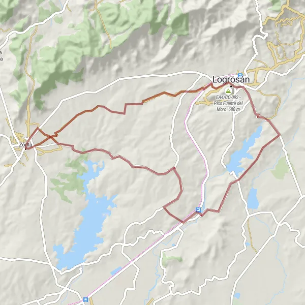
Experience the thrill of gravel cycling from Logrosán to Zorita
Cycle through the rugged terrain and picturesque countryside of Extremadura on this gravel route covering a distance of 65 km and ascending 628 meters. Highlights along the way include the legendary climb EA4/CC-092 - Pico Fuente del Moro, boasting breathtaking views, and Logrosán, a charming town with historical sites and stunning landscapes. Conclude your route in Zorita, embracing the natural beauty and tranquility of the region.
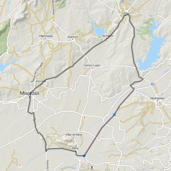
Explore the rural landscapes between Zorita and Miajadas on this road cycling route.
This road cycling route starting near Zorita takes you through picturesque countryside and charming villages. With a total distance of 80 km and a total ascent of 342m, the route passes through Zorita, Miajadas and Alcollarín. The difficulty level is moderate, suitable for well-trained amateur cyclists. The overall epicness rating is 2, offering beautiful views of rural Extremadura and traditional architecture along the way.
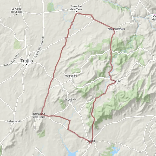
Discover the charm of Extremadura on a gravel adventure from Santa Cruz de la Sierra to Zorita
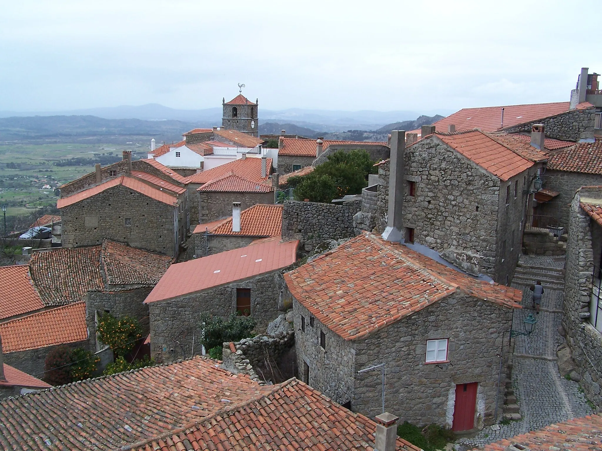
Covering a total distance of 88 km and ascending 948 meters, this gravel route offers a wonderful opportunity to explore the natural beauty and cultural heritage of Extremadura. Visit the enchanting village of Torrecillas de la Tiesa, known for its stunning views, and immerse yourself in the traditional atmosphere of Aldeacentenera. Complete your journey in Zorita, where historic landmarks and breathtaking landscapes await.
Alcollarín - Zorita Road Route
A road cycling tour from Alcollarín to Zorita
This road route spans 66 km in distance and includes an elevation gain of 589 meters. Starting in Alcollarín, cyclists will pass through scenic villages such as Villamesías and Ibahernando, experiencing the stunning landscapes and cultural heritage of Extremadura. Conclude your journey in Zorita, where history and natural beauty intertwine.
Cycling routes nearby:


Nearby regions: