Exploring Pico del Aguila
A gravel cycling route starting from Librilla
Embark on an adventurous gravel ride to Pico del Aguila, a scenic peak near Librilla.
Map

Take your gravel bike on an exciting adventure to the peak of Pico del Aguila near Librilla. This challenging route covers a distance of 73 kilometers and features an ascent of 1699 meters, promising an adrenaline-filled ride through rugged terrains and breathtaking landscapes. Throughout the journey, you'll have the opportunity to discover hidden gems such as the picturesque El Mirador and the magnificent Pico del Aguila. Experience the thrill of conquering challenging climbs and savor the rewards of stunning vistas from the summit. The Exploring Pico del Aguila route is perfect for gravel enthusiasts seeking an unforgettable adventure.
gravel
73 km
1699 m
Savage
Route profile
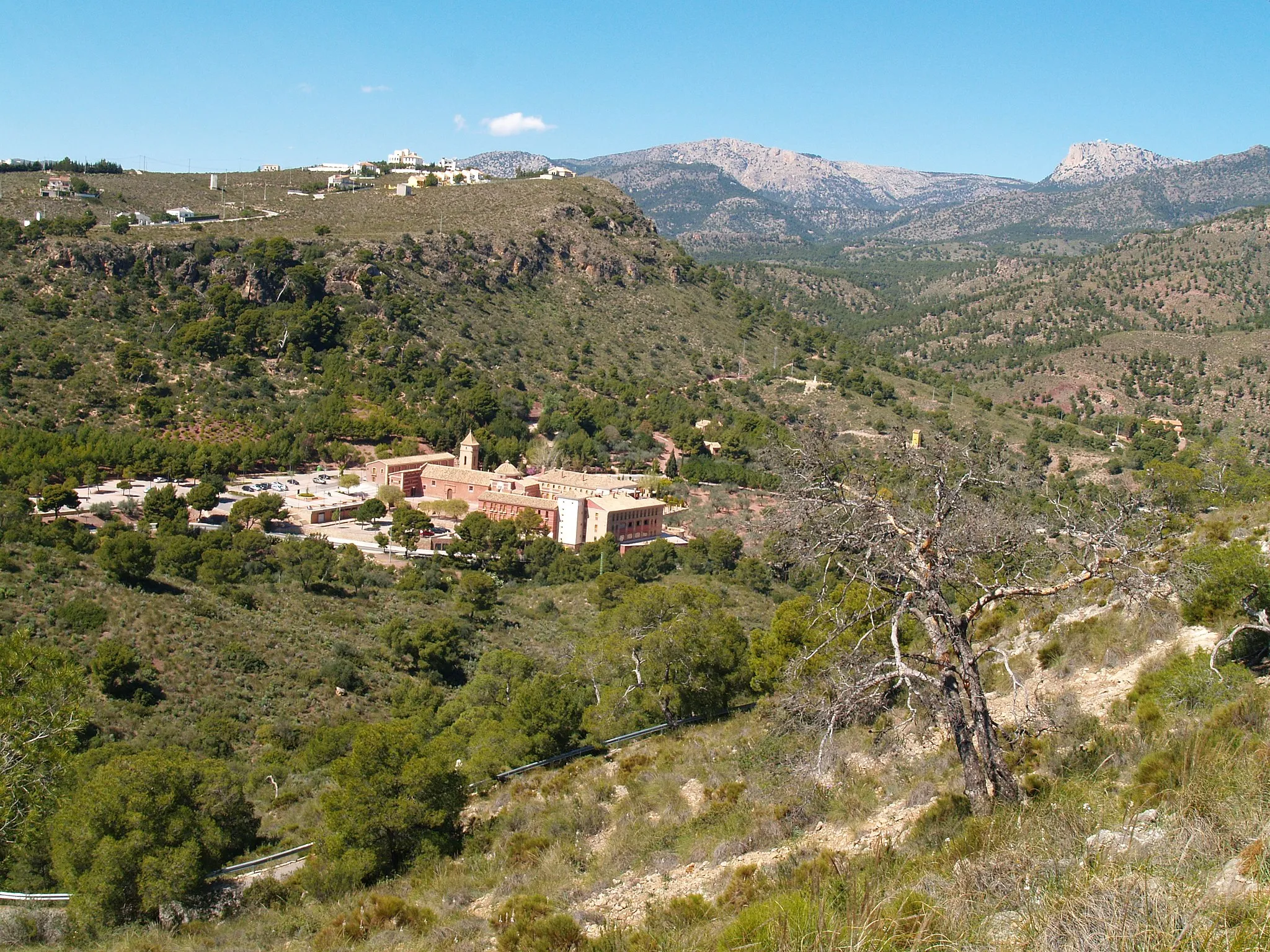
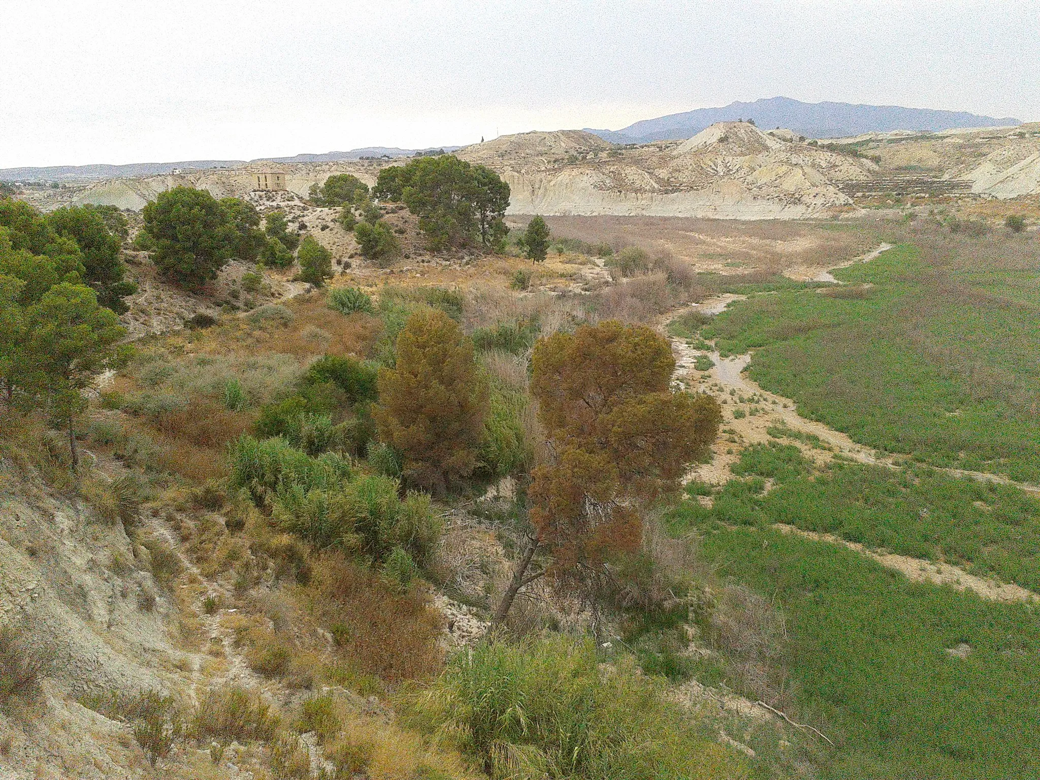
Highlights on the route
0 km
0 km
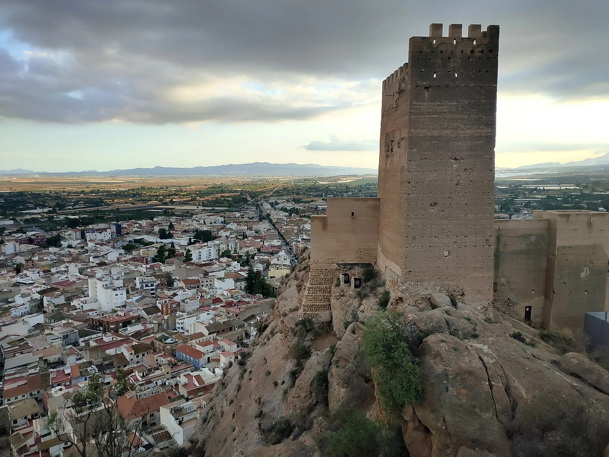
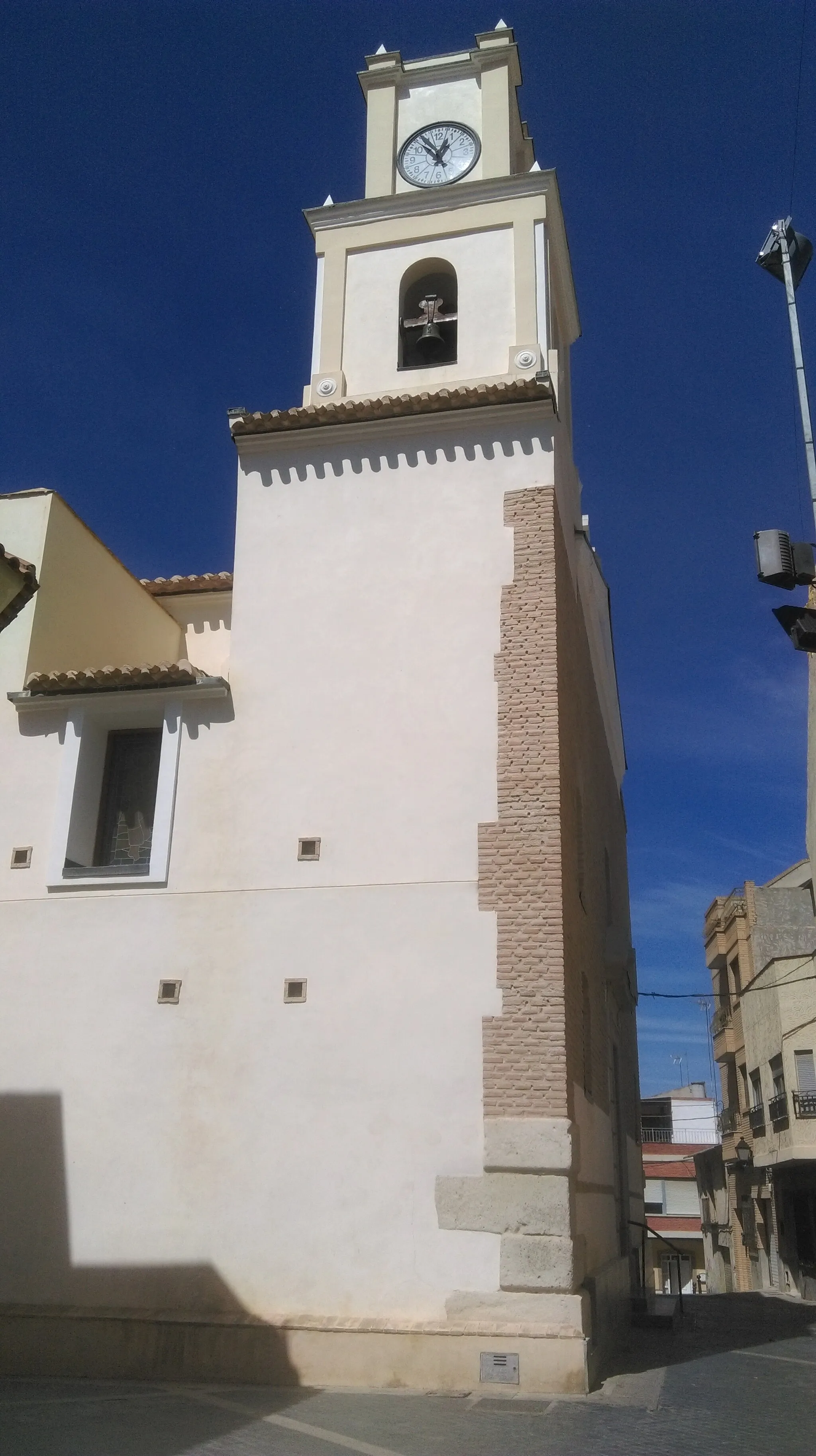
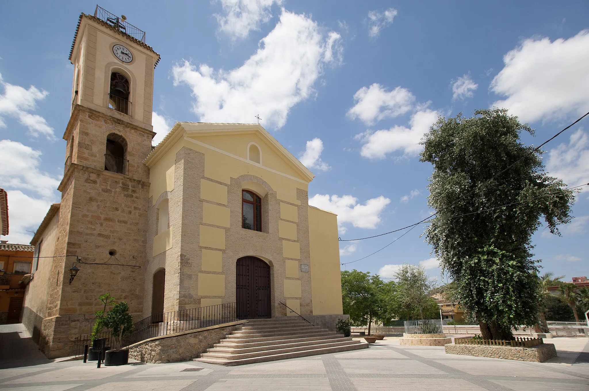
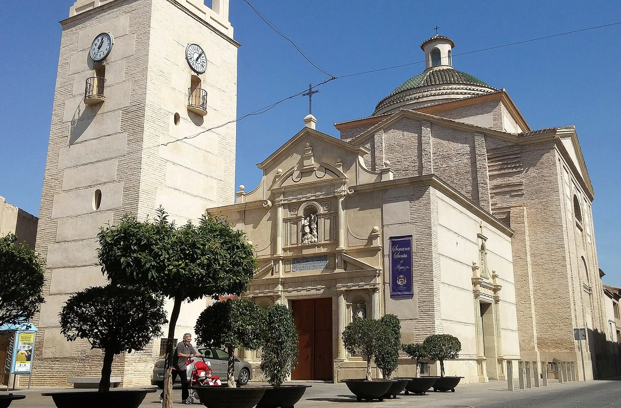
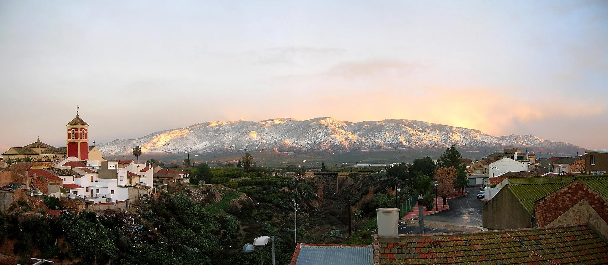
Start: Librilla Village centerLibrilla: Scenic cycling in the lesser-known Murcia region.
Librilla is a municipality located in the Región de Murcia of Spain. Although it may not be a well-known cycling destination, it offers decent options for road and gravel cycling. The area features a mix of rolling plains and mountainous terrain, providing cyclists with diverse routes to explore. However, there are no famous cycling-related spots or well-known climbs nearby. Cyclists visiting Librilla can enjoy quiet rides showcasing the beauty of the Murcia region.0 km
0 km
LibrillaVillageBegin your journey in the charming town of Librilla and explore its rich history and friendly community.
0 km
0 km
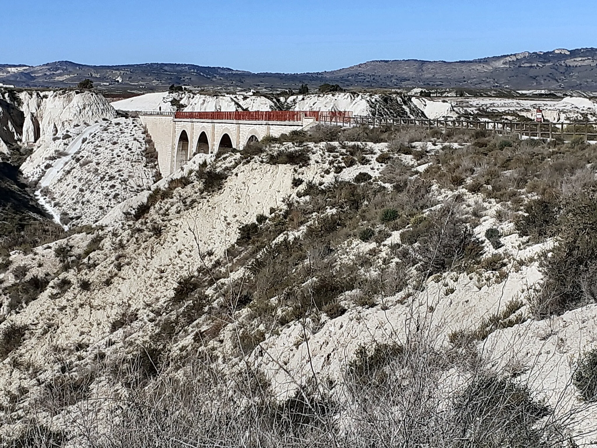
El miradorViewpointStop by El Mirador, a beautiful viewpoint perfect for capturing panoramic shots of the surrounding landscapes.
19 km
19 km
Pico del Aguila637 mPeakClimb to the top of Pico del Aguila and be rewarded with breathtaking vistas that span across the region.
60 km
60 km
Cabezo del Barranco Blanco962 mPeakChallenge yourself as you conquer Cabezo del Barranco Blanco, savouring the magnificent views along the way.
73 km
73 km
Finish: Librilla Village centerLibrilla: Scenic cycling in the lesser-known Murcia region.
Cycling routes from Librilla:
Cycling routes nearby: