Mountain Challenge
A road cycling route starting from Librilla
Conquer the mountains of the Región de Murcia on this challenging road cycling route.
Map
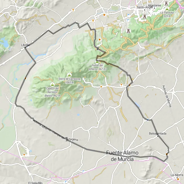
Prepare yourself for a mountainous adventure on the Mountain Challenge route near Librilla. With a total distance of 88 kilometers and an elevation gain of 839 meters, this route offers a challenging ride for experienced cyclists. Along the way, you will encounter highlights such as Pico del Aguila and Fuente Álamo de Murcia. Take a moment to appreciate the stunning views and embrace the challenge.
road
88 km
839 m
Tough
Route profile
Highlights on the route
0 km
0 km
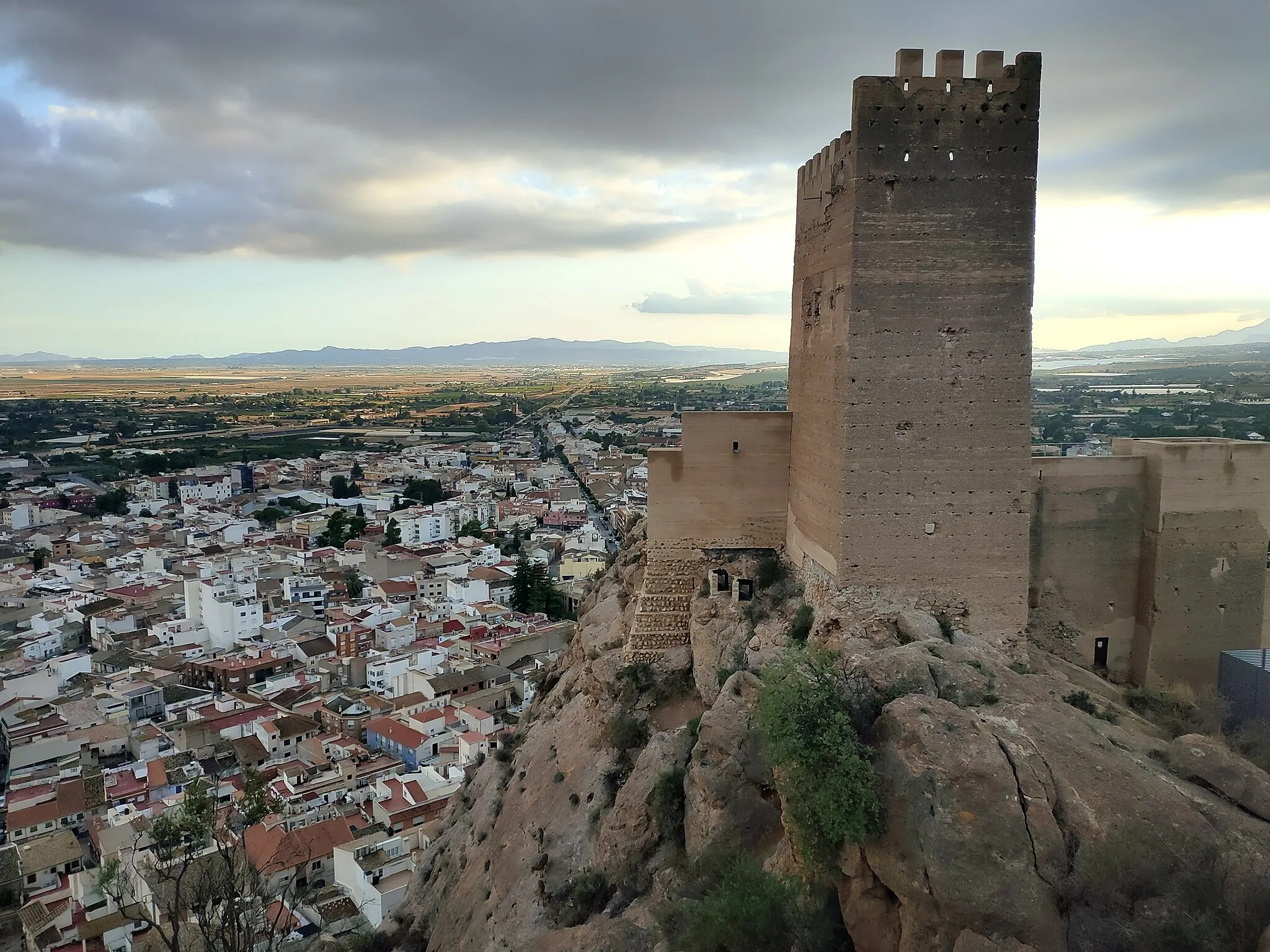
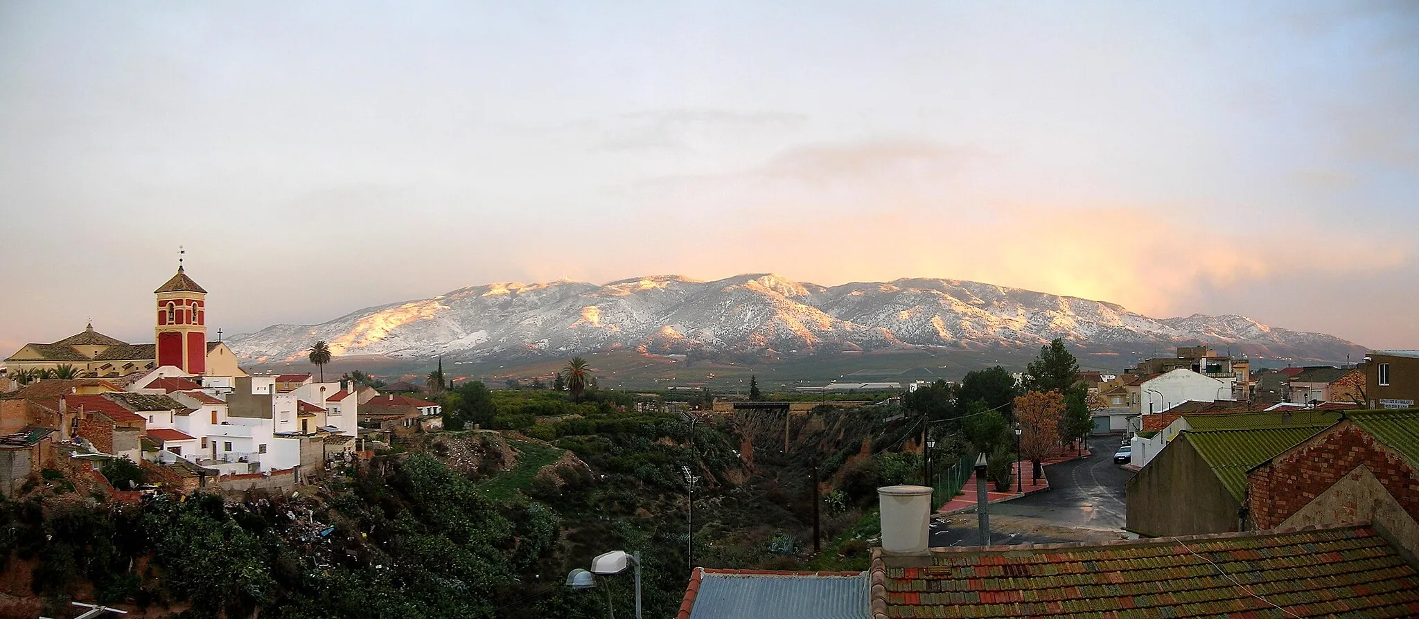
Start: Librilla Village centerLibrilla: Scenic cycling in the lesser-known Murcia region.
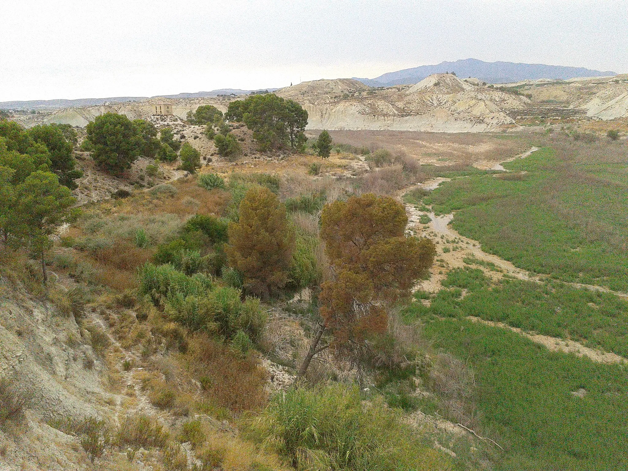
Librilla is a municipality located in the Región de Murcia of Spain. Although it may not be a well-known cycling destination, it offers decent options for road and gravel cycling. The area features a mix of rolling plains and mountainous terrain, providing cyclists with diverse routes to explore. However, there are no famous cycling-related spots or well-known climbs nearby. Cyclists visiting Librilla can enjoy quiet rides showcasing the beauty of the Murcia region.0 km
0 km
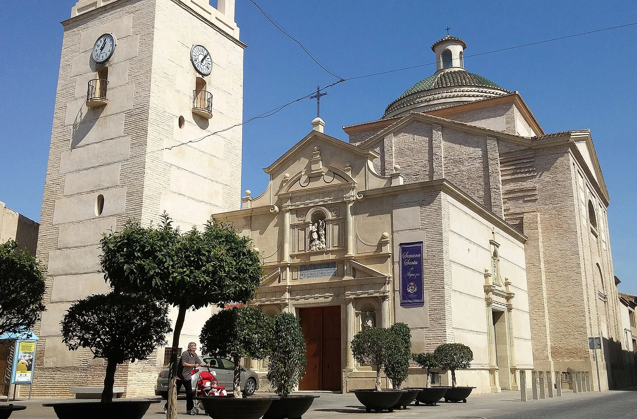
LibrillaVillageLibrilla is a charming village with traditional Spanish architecture. Start your ride here and explore the narrow streets before heading into the mountains.
0 km
0 km
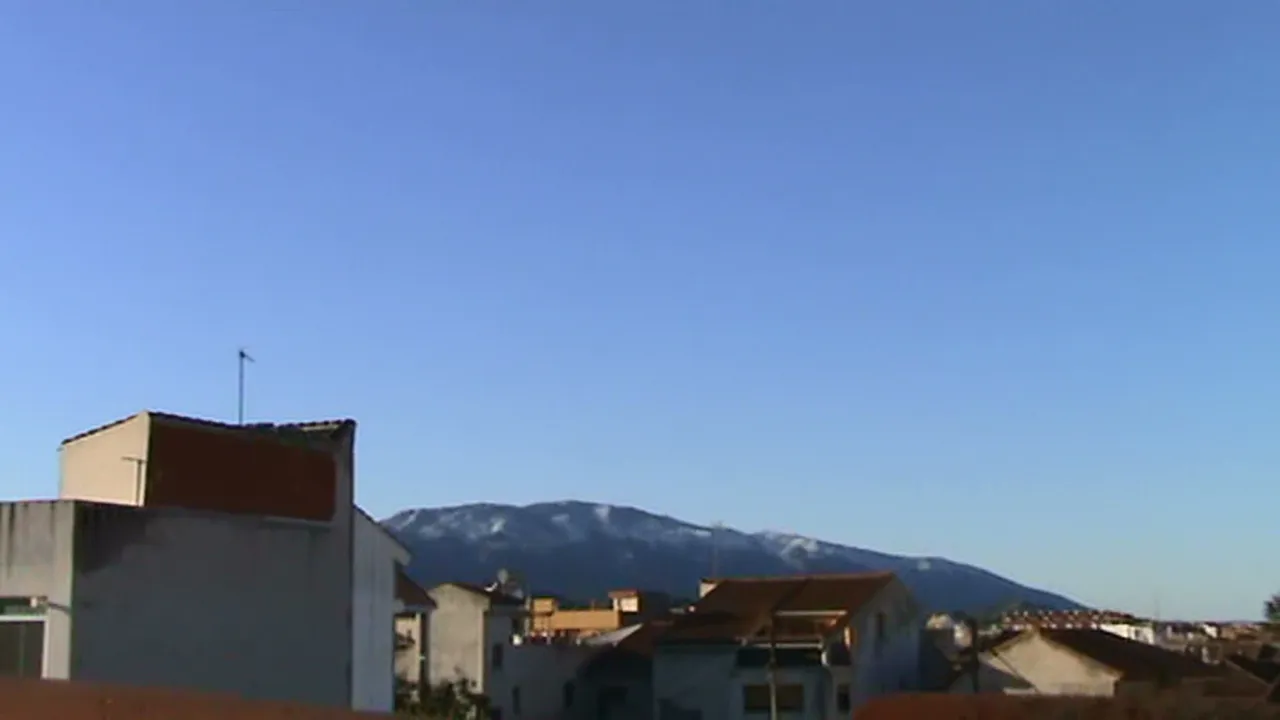
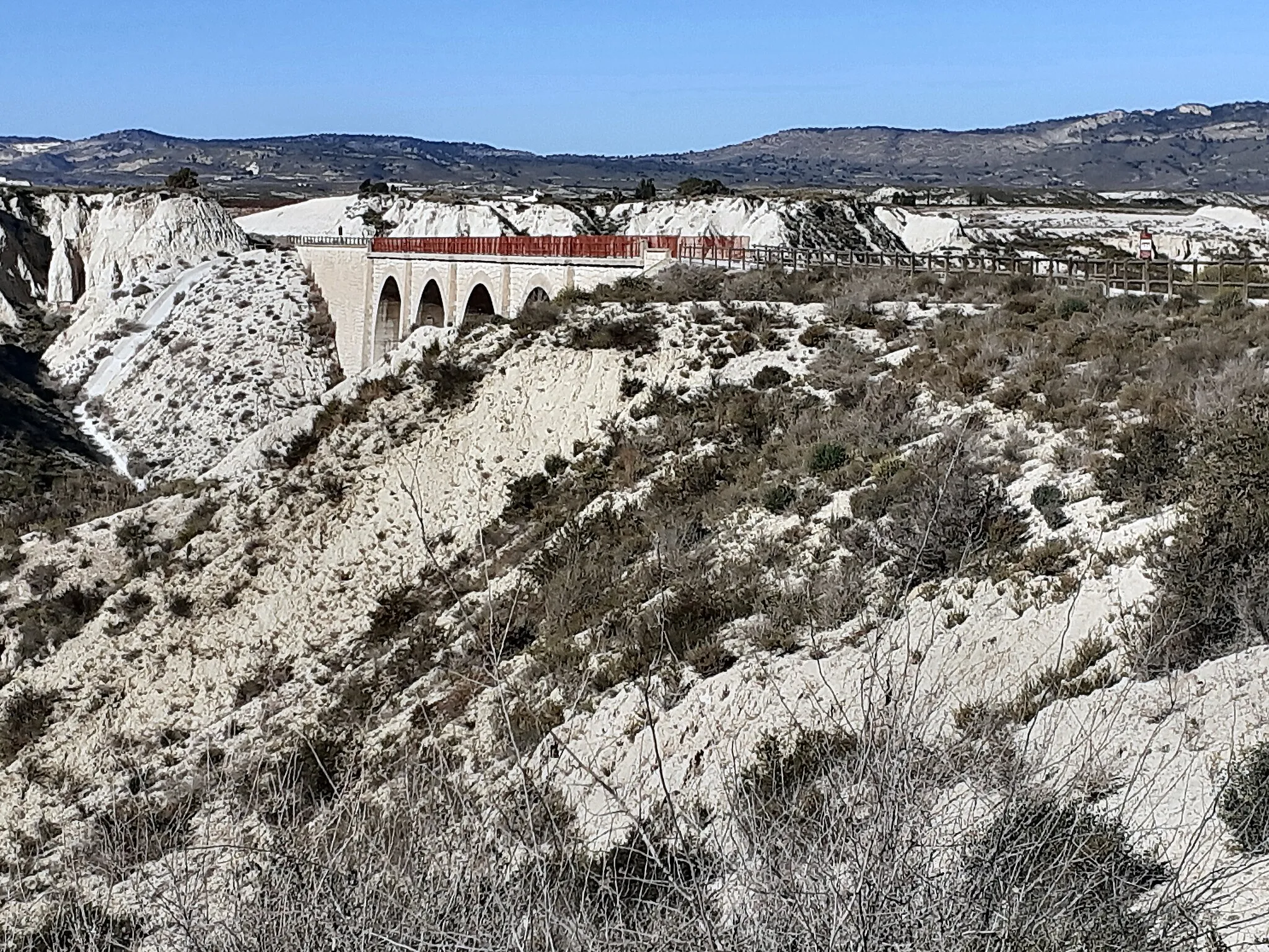
El miradorViewpointEl mirador is a popular viewpoint that offers panoramic views of the surrounding countryside. Take a break and enjoy the stunning scenery.
21 km
21 km
Pico del Aguila637 mPeakPico del Aguila is a challenging climb that rewards you with breathtaking views at the top. Conquer this mountain and experience a sense of accomplishment.
56 km
56 km
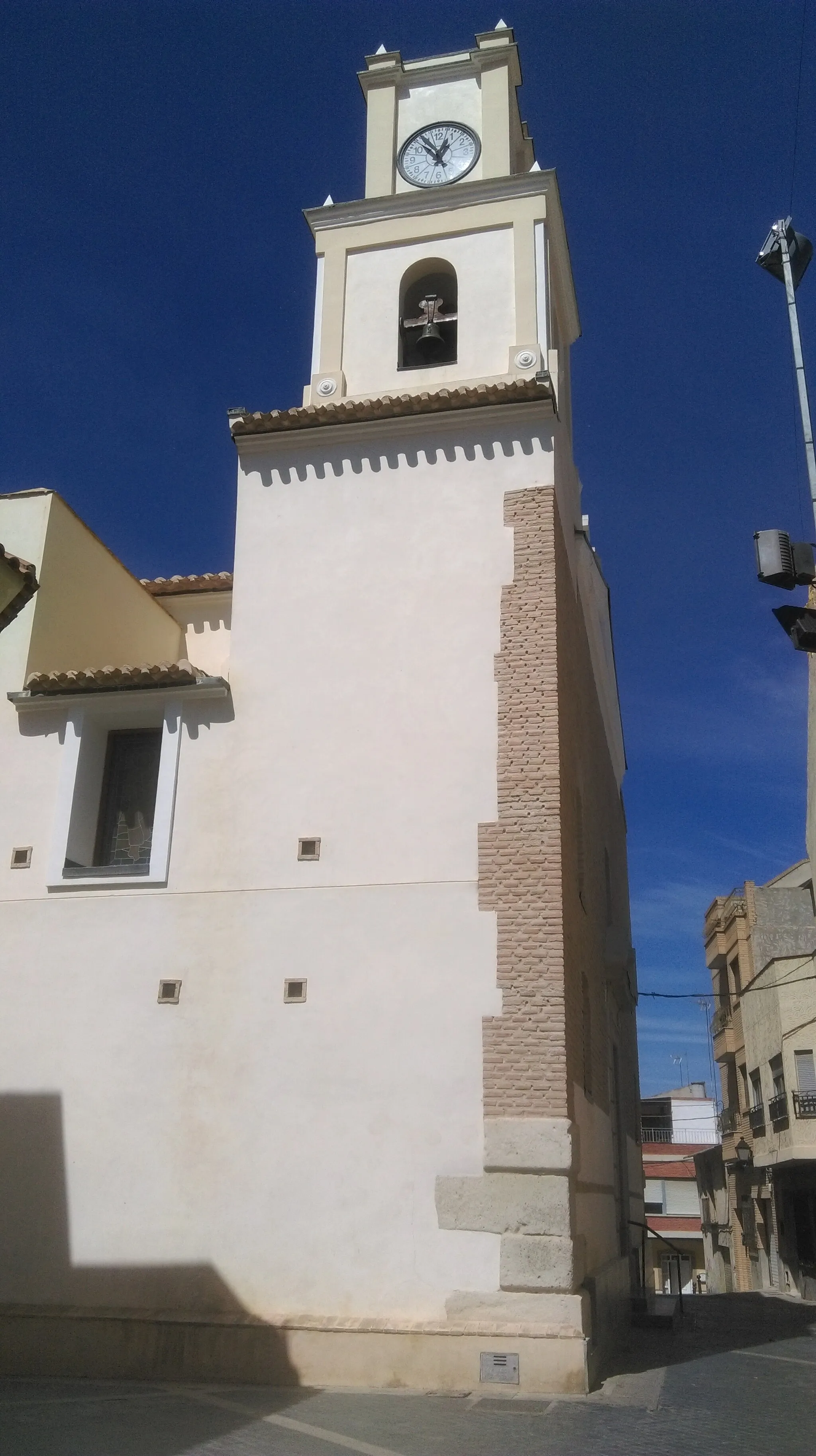
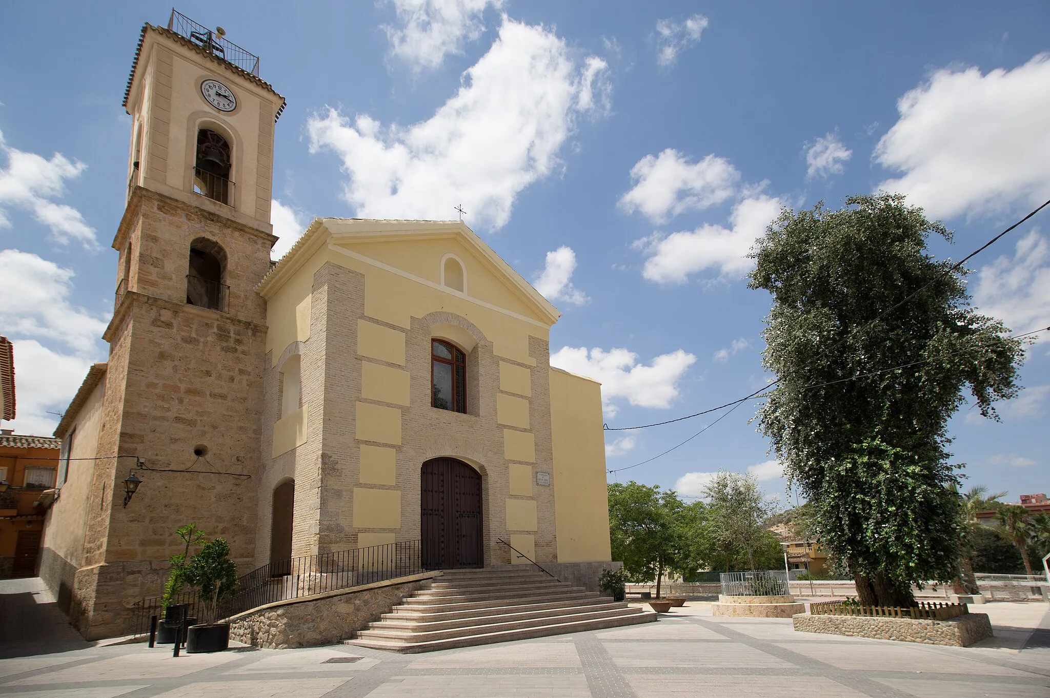
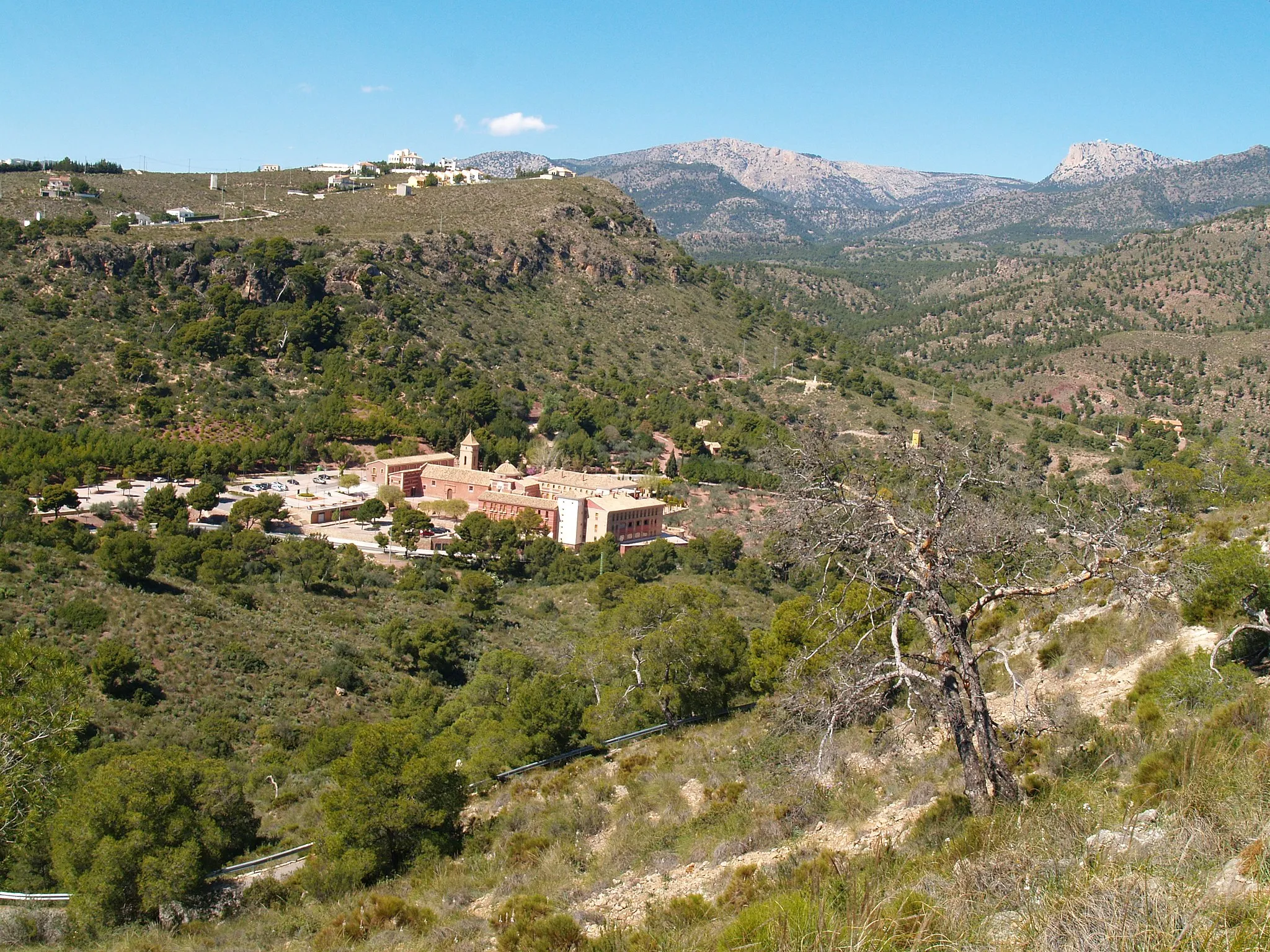
Fuente Álamo de MurciaTownFuente Álamo de Murcia is a picturesque town with a rich history. Explore the narrow streets and visit the local church.
88 km
88 km
Finish: Librilla Village centerLibrilla: Scenic cycling in the lesser-known Murcia region.
Cycling routes from Librilla:
Cycling routes nearby: