Belchenflue Challenge
A gravel cycling route starting from Nunningen
Test your cycling skills on the challenging Belchenflue route
Map

Prepare for a thrilling cycling challenge on the legendary Belchenflue route. With a total ascent of 2788 meters over 107 kilometers, this gravel route is perfect for experienced cyclists looking for an epic adventure. Beginning in Nunningen, you'll pass through highlights such as Reigoldswil, Sandberg, and Belchenflue, experiencing panoramic views along the way. Don't miss the opportunity to explore attractions like Hägendorf and Zofingen, which offer cultural and historical treasures. As you pedal through Langenthal and Weierhöhe, you'll encounter stunning landscapes and iconic cycling spots. The route culminates with the famous Passwang mountain pass, a must-visit highlight.
gravel
107 km
2788 m
Savage
Route profile
Highlights on the route
0 km
0 km
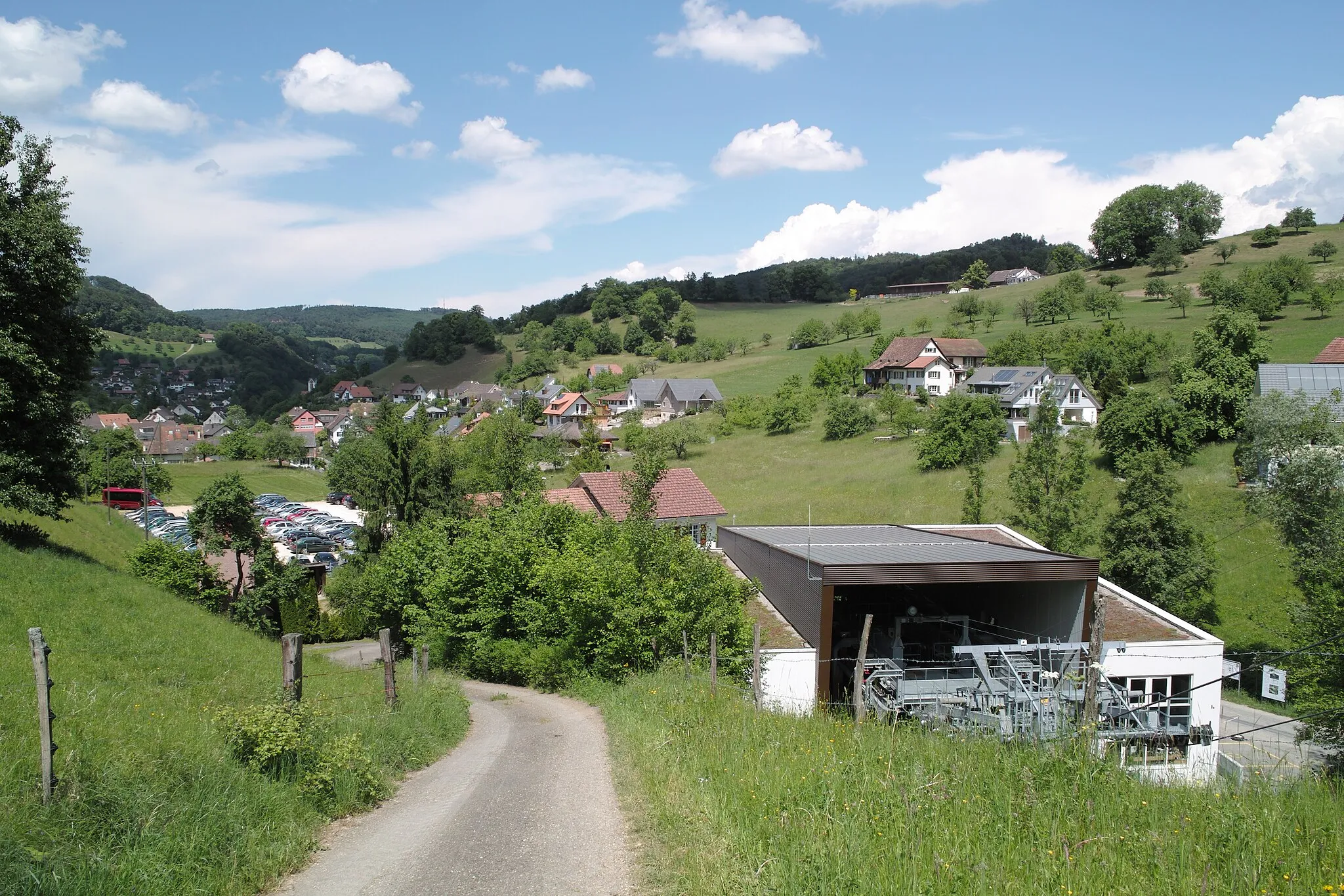
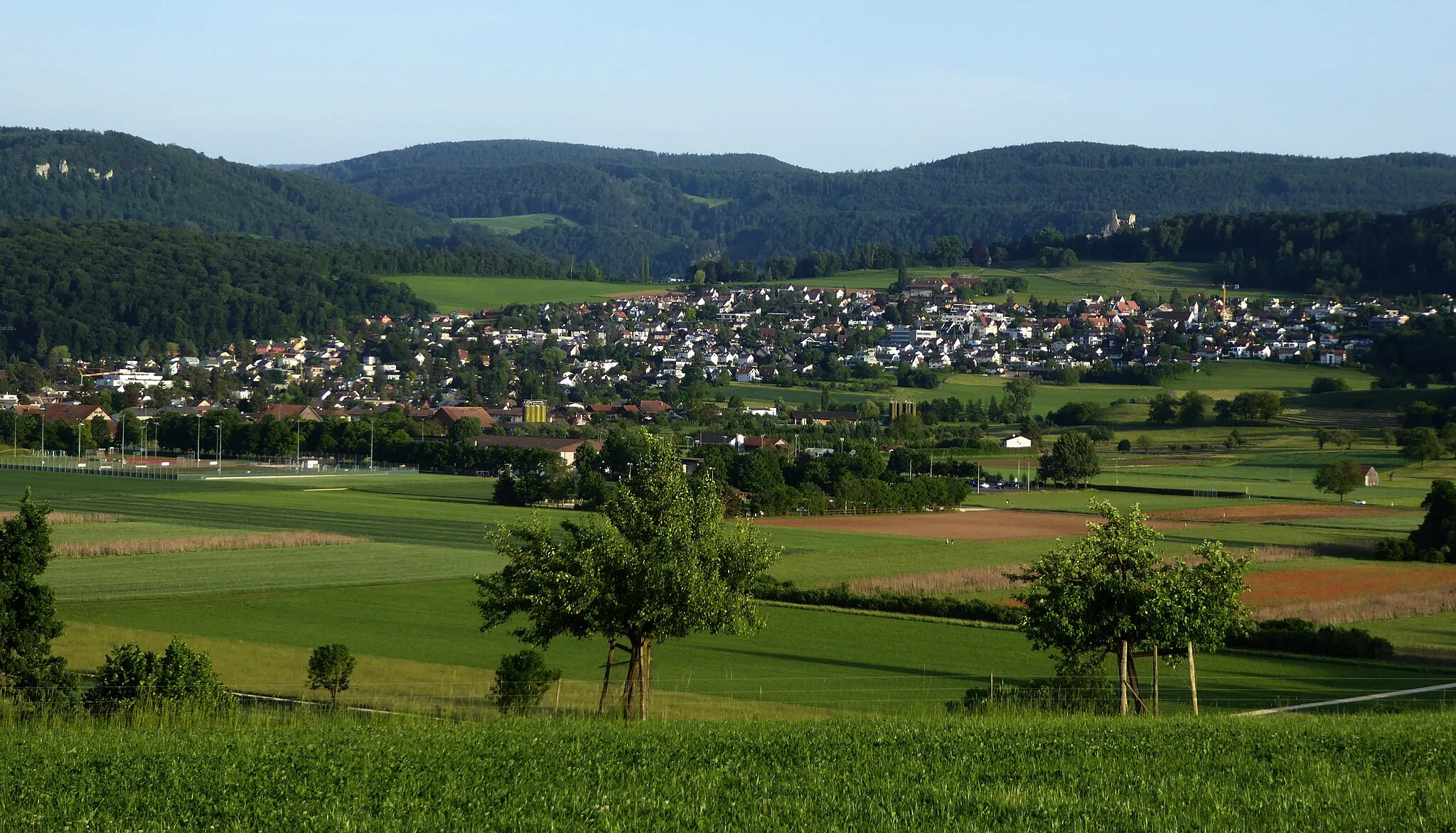
Start: Nunningen Village centerNunningen: Conquering the iconic Geisshubel climb in Nunningen
Nunningen, situated in the Espace Mittelland region of Switzerland, is a cyclist-friendly locality offering a mix of road and gravel cycling routes. The area features scenic landscapes, including rolling hills and picturesque villages, adding charm to cycling adventures. Nunningen is also known for hosting the famous Geisshubel climb, challenging cyclists with its steep gradients. With its cycling-friendly infrastructure and enjoyable routes, Nunningen ranks 4 out of 5 in terms of cycling-friendliness.7 km
7 km
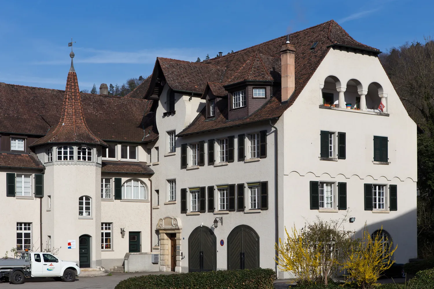
ReigoldswilVillageReigoldswil is home to the historic cable car experience, offering magnificent views of the surrounding landscapes.
15 km
15 km
Sandberg708 mPeakSandberg is a scenic spot with panoramic views and provides an exhilarating downhill ride.
23 km
23 km
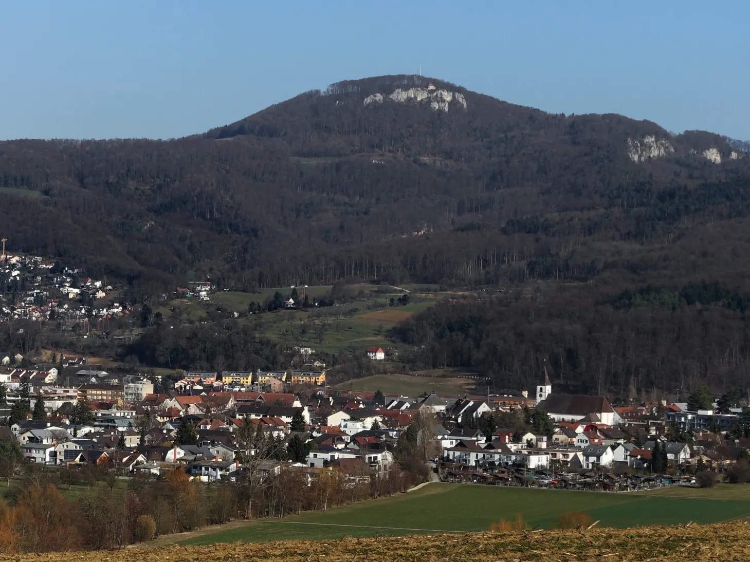
Belchenflue1099 mViewpointBelchenflue is a legendary mountain known for its challenging cycling routes and spectacular vistas.
32 km
32 km
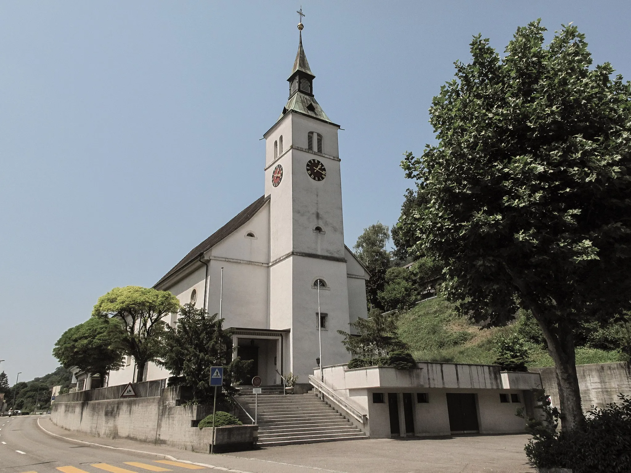
HägendorfVillageHägendorf is a picturesque village with historic buildings and stunning views of the Swiss countryside.
44 km
44 km
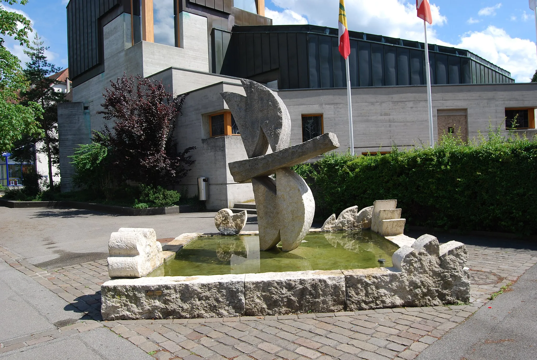
ZofingenTownZofingen is a vibrant town with a bustling city center and a rich cultural heritage.
55 km
55 km
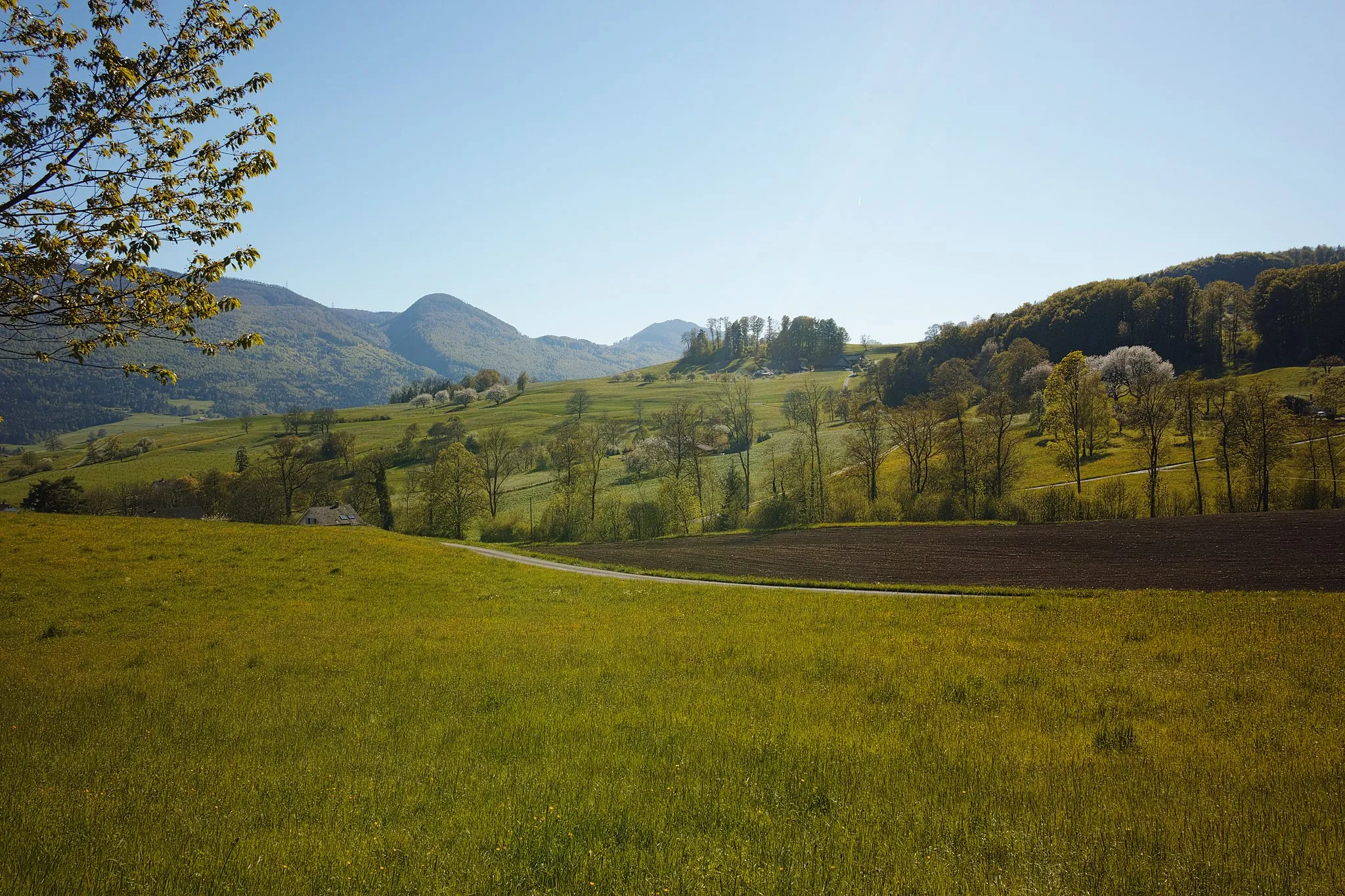
Buechberg568 mPeakBuechberg offers breathtaking views and is a great place to pause and take in the beautiful scenery.
71 km
71 km
LangenthalTownLangenthal is a charming town known for its architectural diversity and vibrant cultural scene.
79 km
79 km
Weierhöhe485 mMountain PassWeierhöhe provides a majestic panorama of the surrounding landscapes, making it a perfect spot for photos.
87 km
87 km
BalsthalVillageBalsthal is a scenic town surrounded by rolling hills and offers stunning countryside views.
96 km
96 km
Passwang1025 mPeak ViewpointThe Passwang mountain pass is a renowned cycling spot with towering peaks and unforgettable landscapes.
105 km
105 km
Geissflue850 mPeakGeissflue offers unique rock formations and hiking trails, providing an opportunity for further exploration.
105 km
105 km
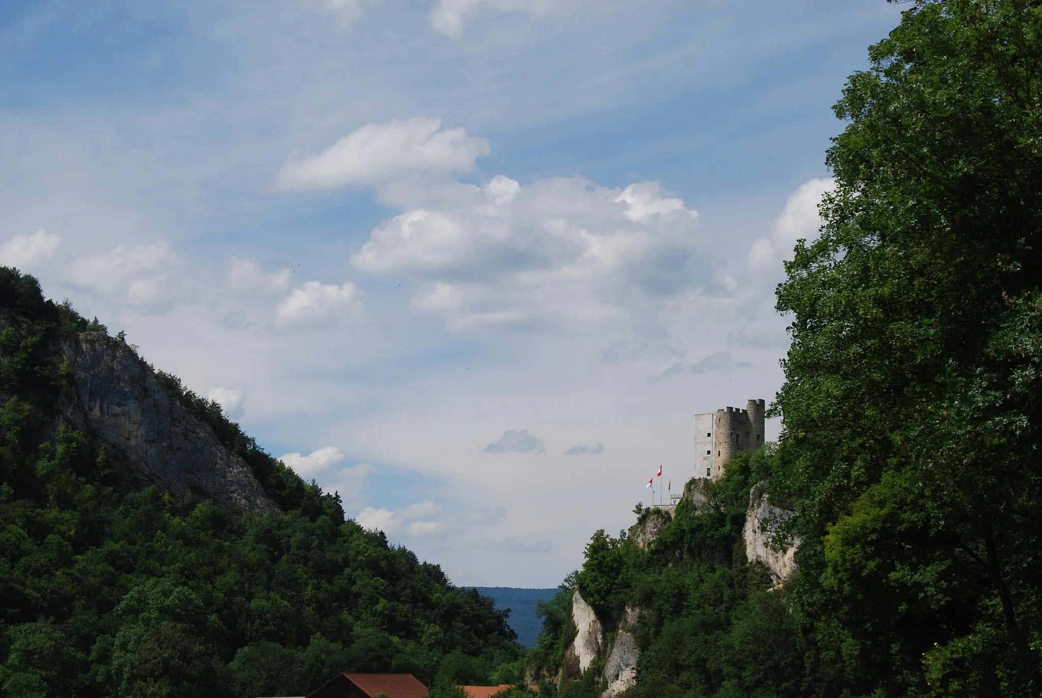
Ruine GilgenbergCastleRuine Gilgenberg is a historical ruin that offers a glimpse into the region's fascinating past while offering scenic vistas.
107 km
107 km
Finish: Nunningen Village centerNunningen: Conquering the iconic Geisshubel climb in Nunningen
Cycling routes nearby: