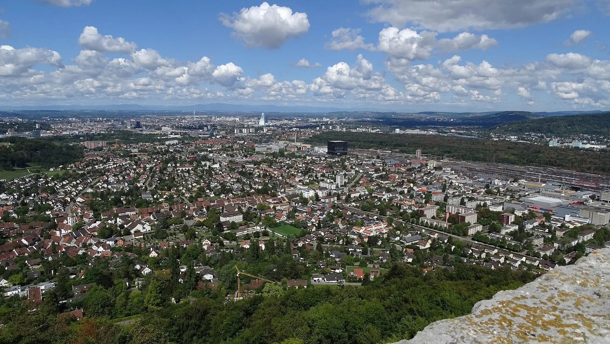
South Black Forest from Birsfelden
A road cycling route starting from Birsfelden
A challenging road cycling experience through the scenic landscapes of South Black Forest
Map
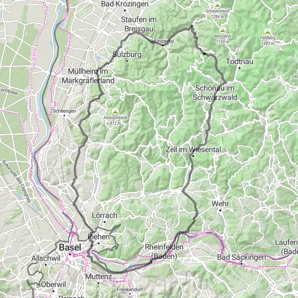
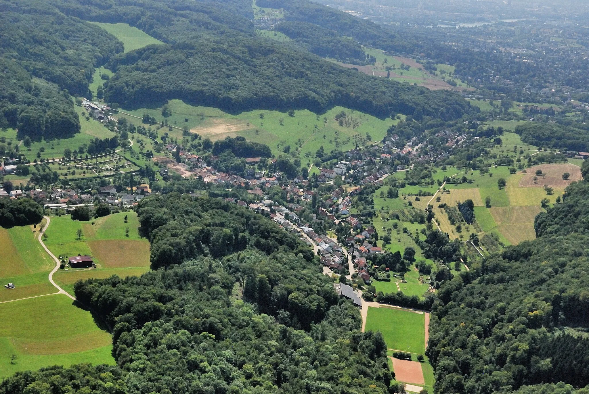
This round-trip cycling route starting near Birsfelden takes you on a challenging and scenic journey through the South Black Forest region of Switzerland. With a total distance of 124 km and an elevation gain of 2003 meters, this road cycling route offers a great challenge for well-trained amateurs. As you cycle through the picturesque villages and forests, you'll enjoy breathtaking views and discover interesting highlights along the way. The route is epic in its beauty and offers a true adventure for cycling enthusiasts.
road
124 km
2003 m
Tough
Route profile
Highlights on the route
0 km
0 km
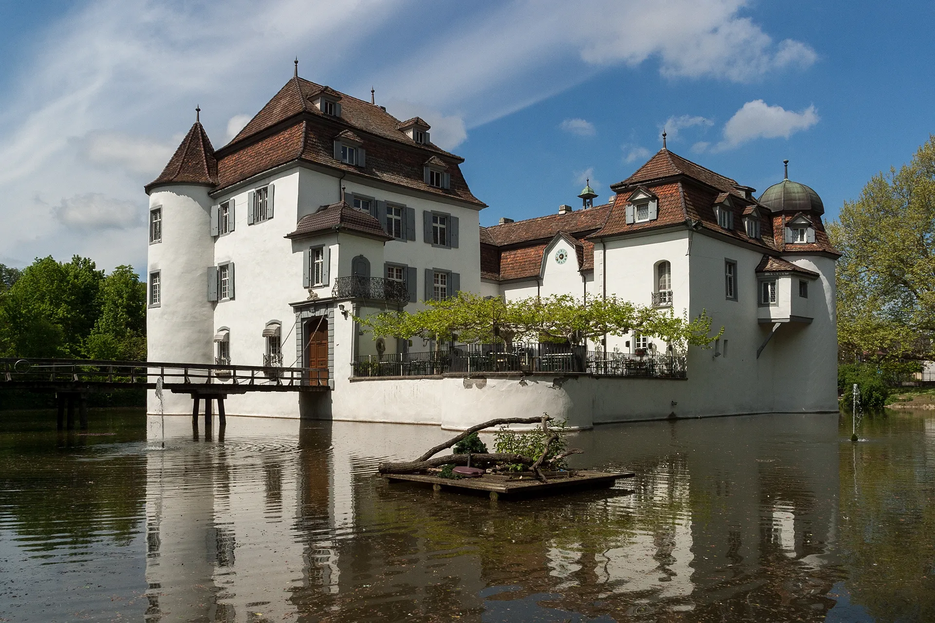
Start: Birsfelden City centerBirsfelden: Explore diverse cycle routes with breathtaking riverfront views.
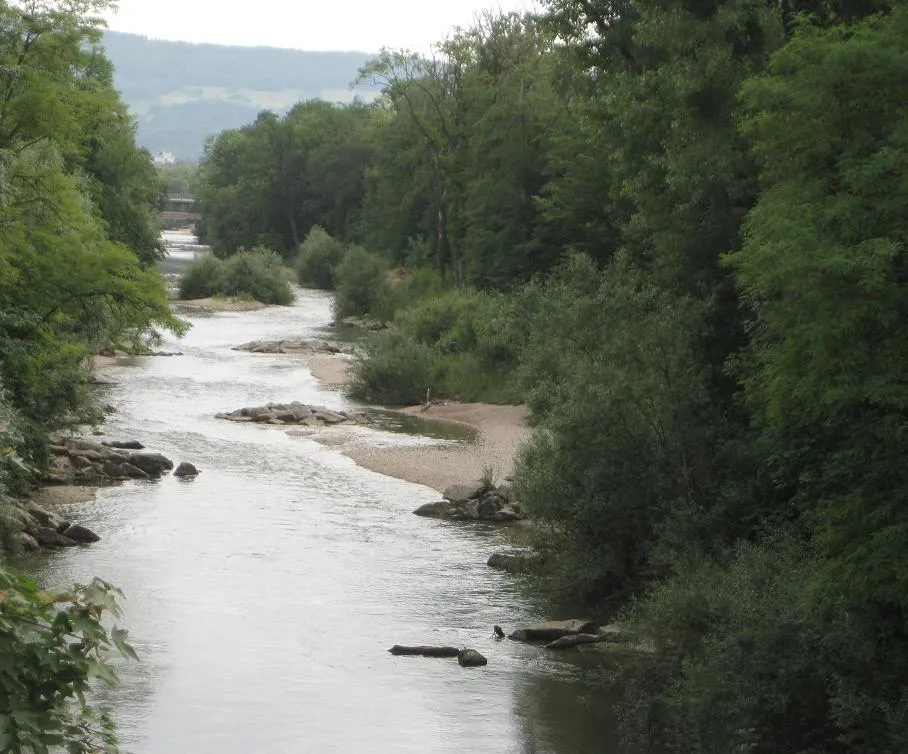
Birsfelden, located in the Nordwestschweiz region of Switzerland, is a vibrant locality that caters to cyclists of all levels. The region provides well-maintained roads and gravel paths, offering a diverse range of cycling routes. With its convenient location along the Rhine River, cyclists can enjoy scenic riverfront rides with breathtaking views. Birsfelden is home to the famous Wasserfallen climb, a challenging ascent embraced by seasoned riders. Additionally, the locality boasts several cycling-friendly establishments such as cafes and bike shops. Whether you're a road cyclist or prefer off-road adventures, Birsfelden has plenty to offer in terms of cycling-related experiences.12 km
12 km
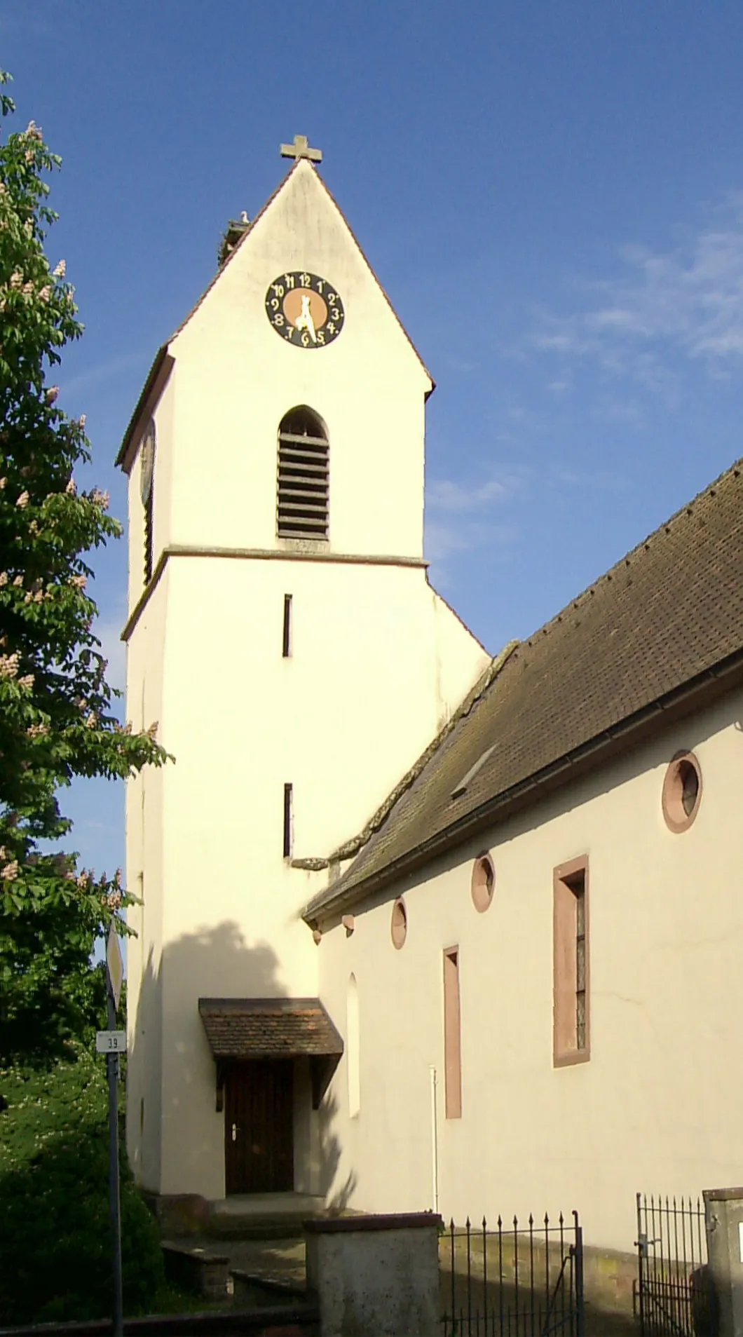
EimeldingenVillageEimeldingen, a charming village known for its vineyards and wine culture.
14 km
14 km
Reckholder354 mPeakReckholder, a historic landmark with stunning panoramic views of the surrounding area.
26 km
26 km
LielVillageLiel, a small village known for its traditional Black Forest farmhouses and charming atmosphere.
37 km
37 km
Innerberg406 mPeakInnerberg, a picturesque hamlet hiding among the hills, offering tranquil surroundings and beautiful nature.
44 km
44 km
Kastelberg435 mPeakKastelberg, a ridge with magnificent views of the Rhine Valley and surrounding mountains.
48 km
48 km
GrunernVillageGrunern, a quaint village with traditional architecture, surrounded by lush green fields.
66 km
66 km
Wiedener Eck TorAttractionWiedener Eck Tor, a hiking and cycling gateway to the pristine Wieden Valley, known for its untouched landscapes and charming villages.
66 km
66 km
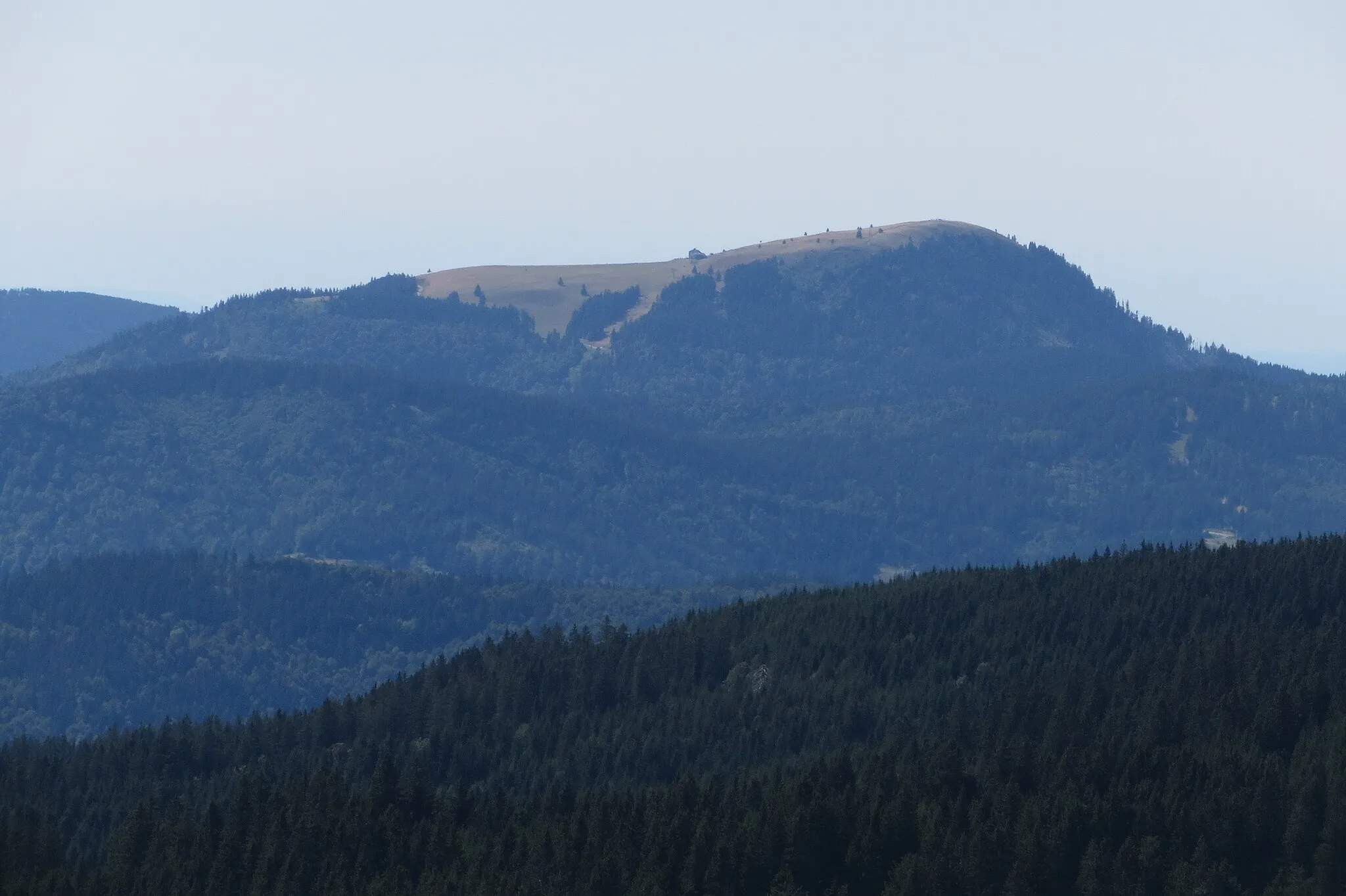
Wiedener Eck1035 mMountain PassWiedener Eck, a popular rest stop along the route, offering stunning panoramic views and refreshments.
88 km
88 km
SchänzleViewpointSchänzle, a scenic viewpoint overlooking the Rhine River and its picturesque surroundings.
88 km
88 km
Zell im WiesentalTownZell im Wiesental, a charming town with historic architecture and a bustling market square.
108 km
108 km
Dolivo PlattformViewpointDolivo Plattform, an observation deck offering panoramic views of the entire route and surrounding landscapes.
110 km
110 km
RheinfeldenTownRheinfelden, a historic city known for its medieval architecture and the famous Rhine Falls, the largest waterfall in Europe.
118 km
118 km
BiotopViewpointBiotop, a natural reserve with diverse flora and fauna, offering a peaceful escape from the urban surroundings.
121 km
121 km
Römische Warte Au-HardCastleRömische Warte Au-Hard, a Roman watchtower archaeological site, showcasing the region's rich history.
124 km
124 km
Finish: Birsfelden City centerBirsfelden: Explore diverse cycle routes with breathtaking riverfront views.
Cycling routes from Birsfelden:
Cycling routes nearby: