Lenzburg and the Hills
A road cycling route starting from Dottikon
Experience the scenic beauty and challenging climbs around Lenzburg
Map
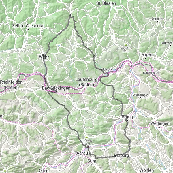
This round-trip cycling route starting near Dottikon will take you through the beautiful hills and landscapes around Lenzburg. With a total distance of 129 km and an ascent of 2324 meters, this challenging route is perfect for experienced cyclists. You will encounter several highlights along the way, such as the historic Lenzburg Castle, the panoramic views from Staufberg, and the picturesque town of Buchs. The route also includes the stunning Wasserflue peak and the Mumpferflue cliffs. With its diverse terrain and breathtaking scenery, this route promises an unforgettable cycling adventure.
road
129 km
2324 m
Tough
Route profile
Highlights on the route
0 km
0 km
Start: Othmarsingen Village centerDottikon: Road and gravel cycling in the tranquil countryside of Dottikon, Switzerland.
Dottikon is a town located in the Nordwestschweiz region of Switzerland. With its well-maintained roads and peaceful surroundings, Dottikon provides an ideal environment for road and gravel cycling. While there are no notable cycling attractions directly within Dottikon, cyclists can easily explore the surrounding Swiss countryside, which offers scenic vistas and charming rural landscapes.3 km
3 km
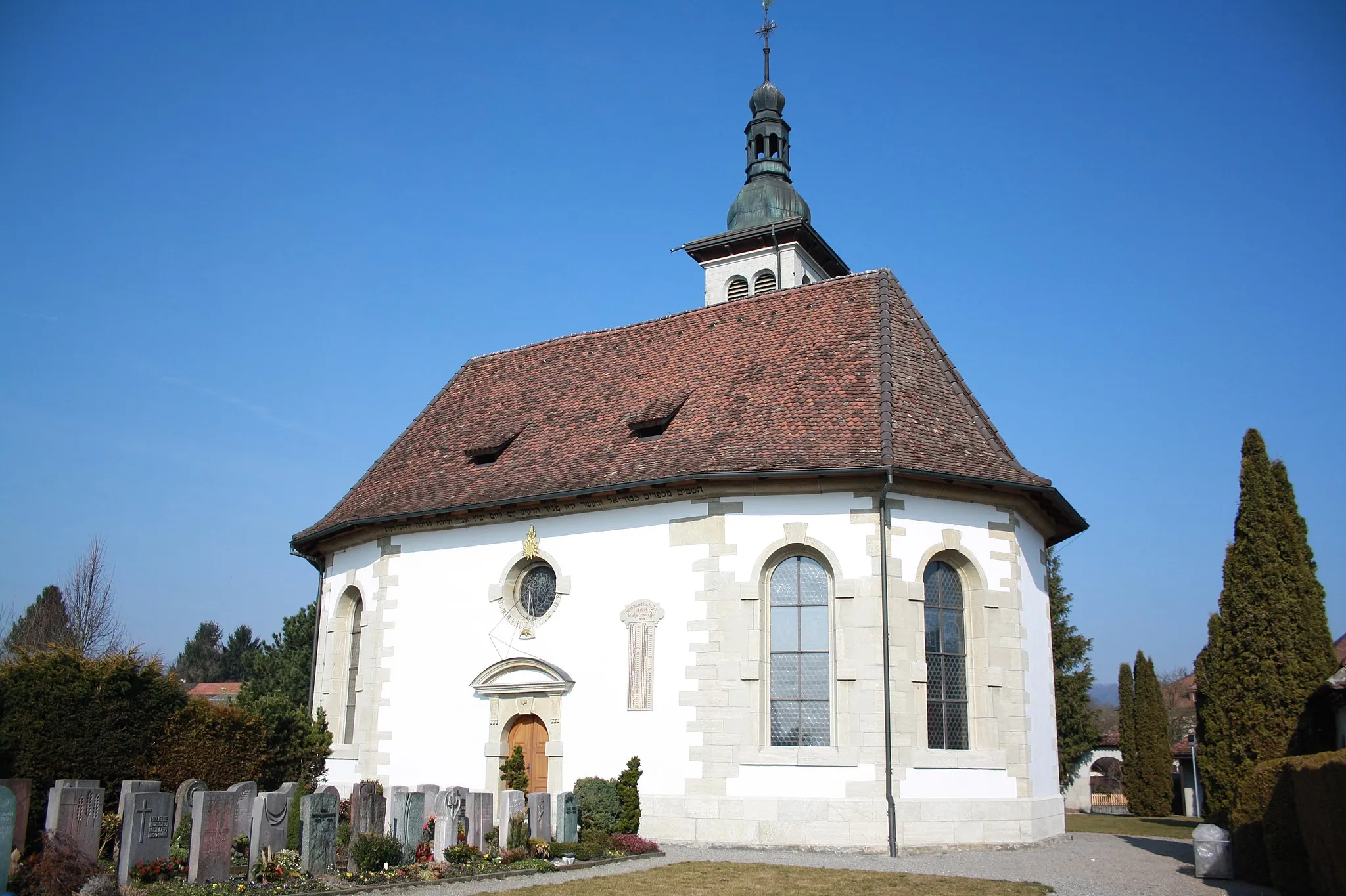
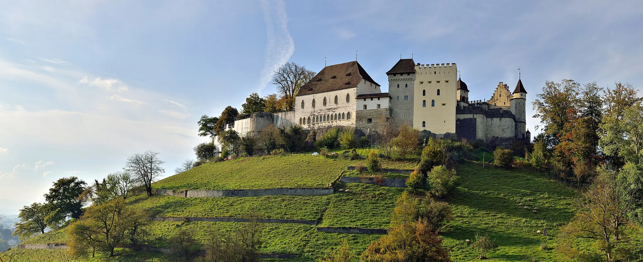
LenzburgTownLenzburg Castle is a well-preserved medieval castle offering stunning views over the surrounding area.
5 km
5 km
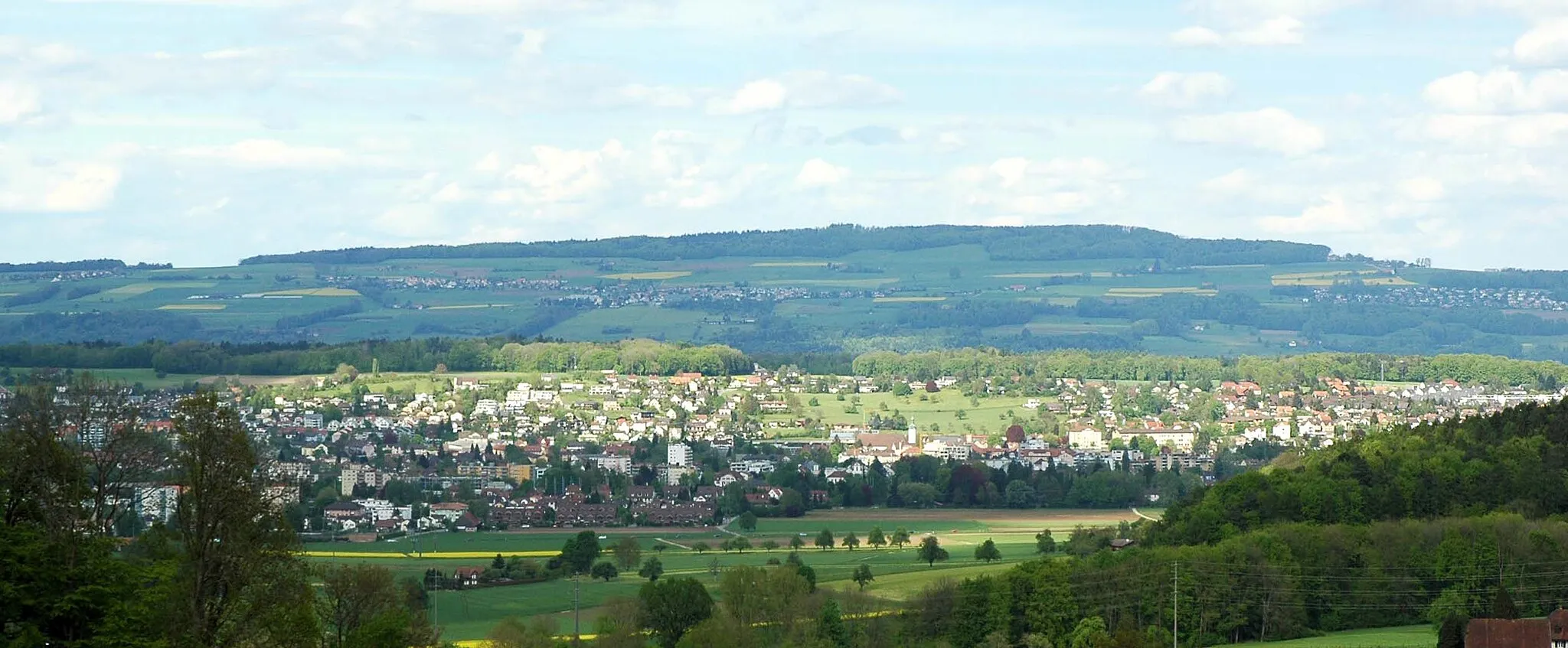
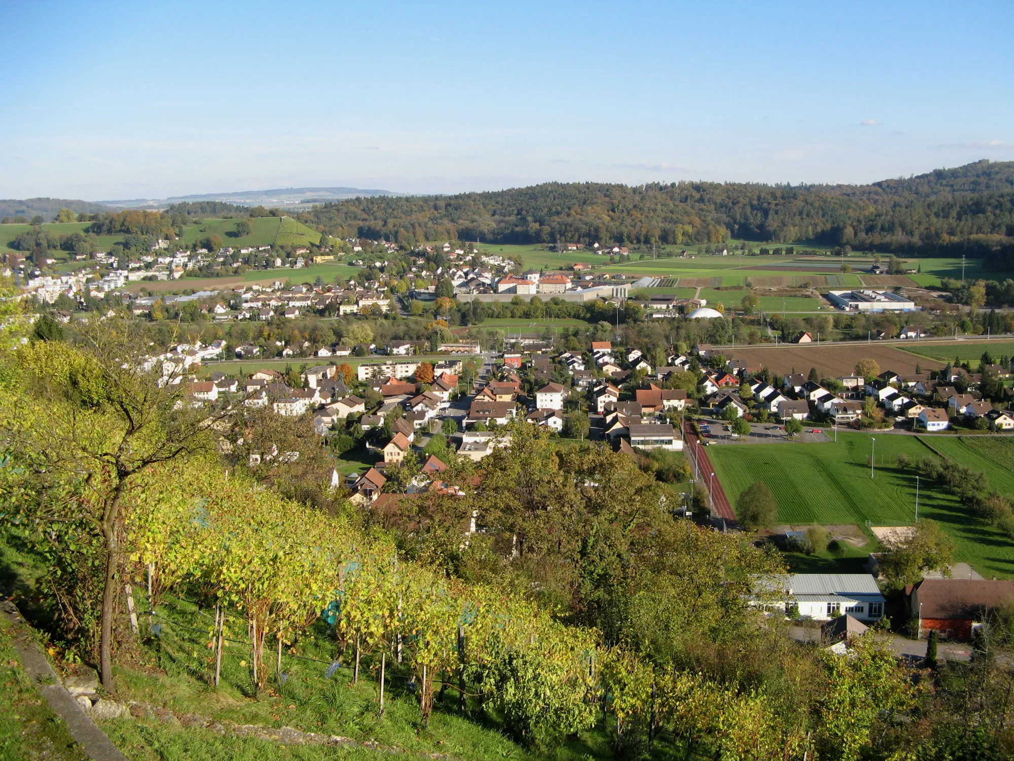
Staufberg516 mPeakStaufberg is a popular cycling spot known for its panoramic views of the Swiss Alps and the lush green landscapes.
14 km
14 km
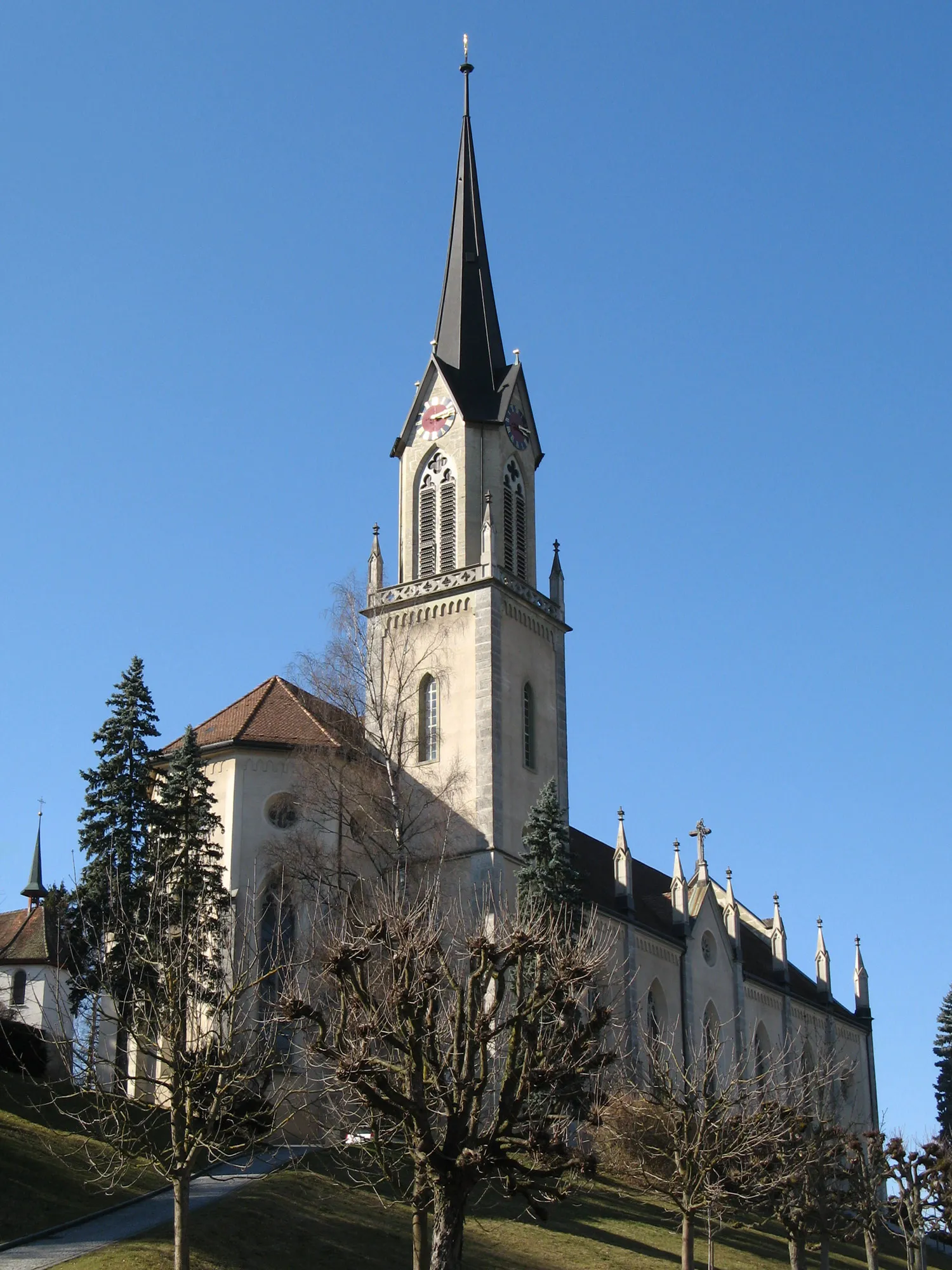
BuchsVillageBuchs is a charming town with a rich history. Don't miss the beautiful old town and the Buchs Castle.
21 km
21 km
Wasserflue844 mPeakWasserflue is a prominent peak offering breathtaking views of the Swiss Plateau and the distant Alps.
39 km
39 km
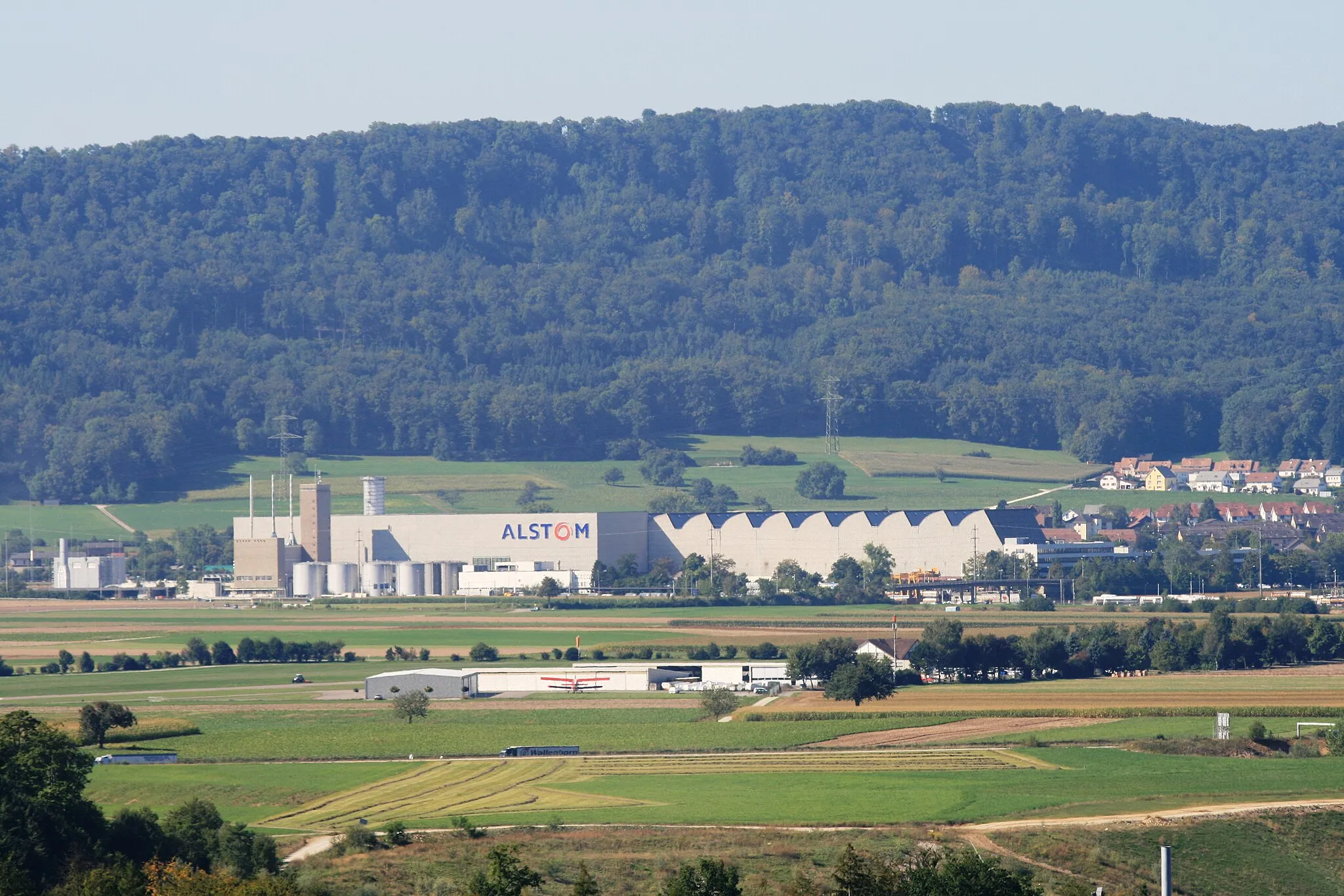
MumpfVillageMumpf is a lovely riverside town with half-timbered houses and a quaint atmosphere.
40 km
40 km
MumpferflueViewpointMumpferflue is a striking natural landmark, known for its impressive cliff formations.
47 km
47 km
Humbel400 mPeakHumbel is a challenging but rewarding climb with stunning panoramic views at the summit.
53 km
53 km
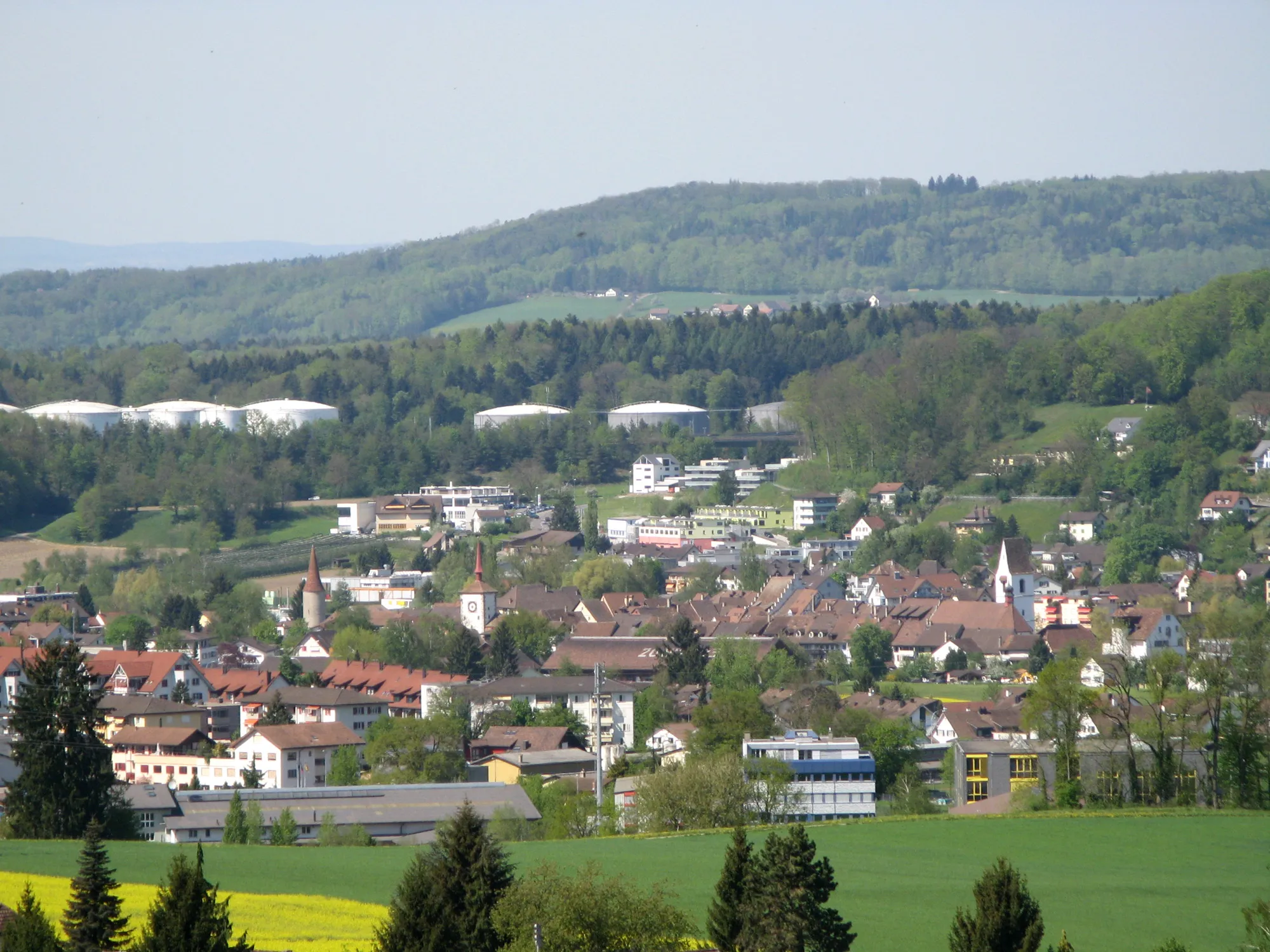
WehrTownWehr is a picturesque village located on the banks of the Rhine River, surrounded by vineyards and rolling hills.
71 km
71 km
TodtmoosVillageTodtmoos is a quaint mountain village with traditional Swiss architecture and beautiful hiking trails.
77 km
77 km
Schellenberg1001 mPeakSchellenberg is a charming hamlet famous for its traditional alpine chalets and stunning natural landscapes.
88 km
88 km
Köpfle586 mPeakKöpfle is a picturesque mountain peak offering panoramic views of the surrounding countryside.
96 km
96 km
AlbbruckVillageAlbbruck is a scenic village nestled in the Black Forest region, known for its idyllic setting.
113 km
113 km
Iberg484 mCastleIberg is a quaint village with beautiful traditional Swiss architecture and a tranquil atmosphere.
117 km
117 km
BruggTownBrugg is a historic town with a rich cultural heritage. Explore the beautiful old town and the famous wooden bridge.
125 km
125 km
Schloss BruneggCastleSchloss Brunegg is a stunning Renaissance castle located amidst enchanting gardens and parkland. Visit for a glimpse into medieval history.
129 km
129 km
Finish: Othmarsingen Village centerDottikon: Road and gravel cycling in the tranquil countryside of Dottikon, Switzerland.
Cycling routes from Dottikon:
Dottikon Road Cycling Adventure Scenic Countryside and Serene Paths Legendary Castles and Charming Villages Nature's Majesty and Historical Landmarks Scenic Road Trip Rejuvenating Nature and Charming Countryside Off-Road Adventure Rolling Hills and Authentic Villages Lenzburg and the Hills Gravel Fun and Adventure Ammerswil - Schürberg - Aarau - Salhöhe - Effingen - Bözbergpass - Brunegg Cycling Route
Cycling routes nearby: