Gelterkinden - Chnubel - Gelterkinden
A road cycling route starting from Gelterkinden
Embark on an epic road cycling adventure from Gelterkinden to Chnubel
Map
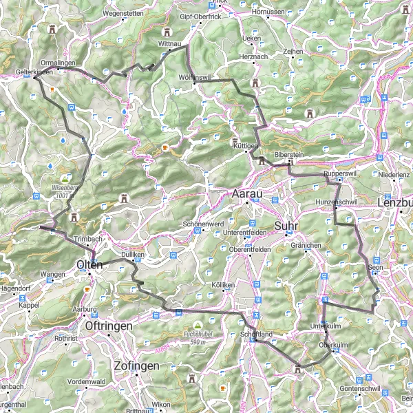
This road cycling route starting near Gelterkinden covers a distance of 97 km and features an elevation gain of 1947 m. The route takes you through scenic countryside and charming Swiss villages. Highlights along the way include the picturesque Rothenfluh, the challenging climb up Reichberg, and the stunning views from Staffelegg. As you continue, you'll pass through Biberstein and reach Schürberg, offering scenic vistas. The route also includes the beautiful landscapes of Dürrenäsch, Trimbach, and Rünenberg. Finally, you'll conquer the iconic climb of Unterer Hauenstein before descending to Berg.
road
97 km
1947 m
Tough
Route profile
Highlights on the route
0 km
0 km
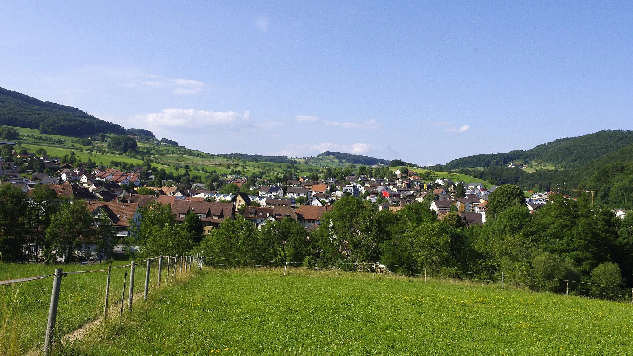
Start: Gelterkinden Village centerGelterkinden: Exhilarating climbs and well-paved roads in the heart of Switzerland.
Gelterkinden is a locality located in Nordwestschweiz, Switzerland. As a cyclist, you can expect diverse terrain with challenging climbs and thrilling descents. The region offers a mix of road and gravel routes that cater to cyclists of all levels. Gelterkinden is known for its well-paved roads and well-maintained cycling infrastructure, making it an ideal destination for road cycling enthusiasts. Nearby, you can find the famous climb of Passwang, which has been a favorite among professional cyclists during the Tour de Suisse.5 km
5 km
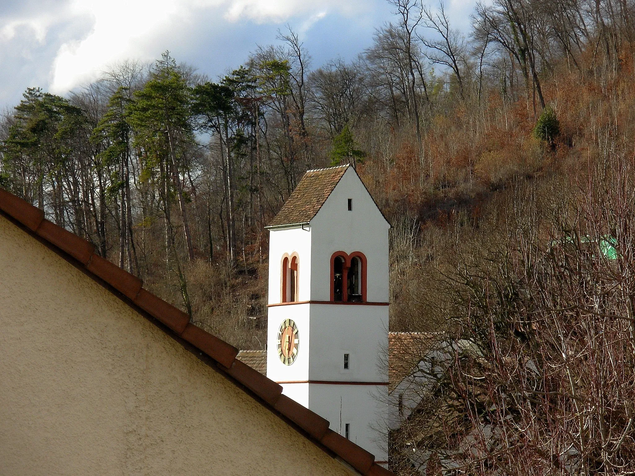
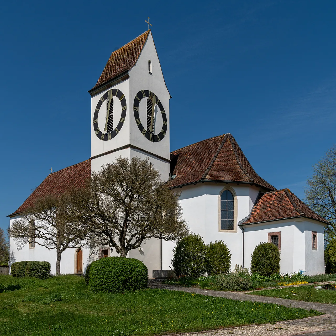
RothenfluhVillageRothenfluh is a picturesque town perched on a limestone rock, offering stunning views of the surrounding landscape.
11 km
11 km
Reichberg586 mPeakReichberg is a challenging climb that rewards cyclists with panoramic vistas.
24 km
24 km
Staffelegg621 mMountain PassStaffelegg is a legendary climb known for its breathtaking views over the Swiss Plateau.
30 km
30 km
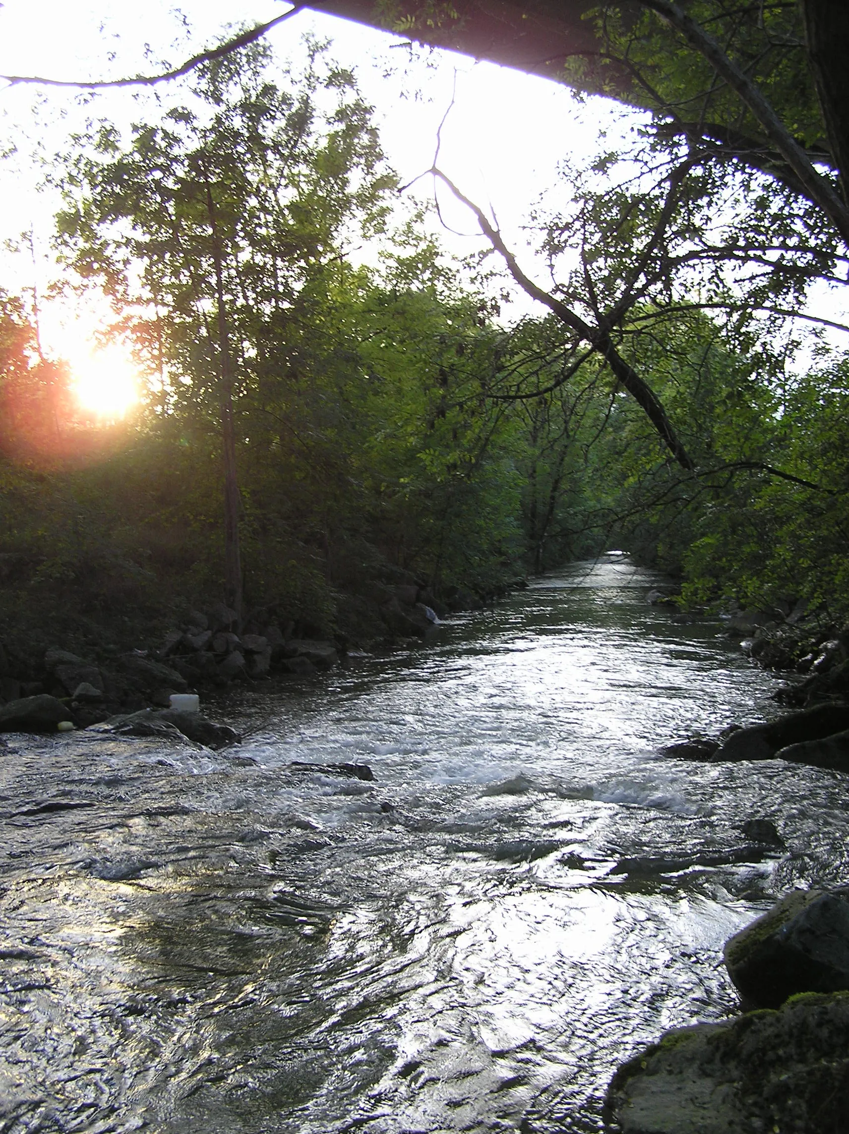
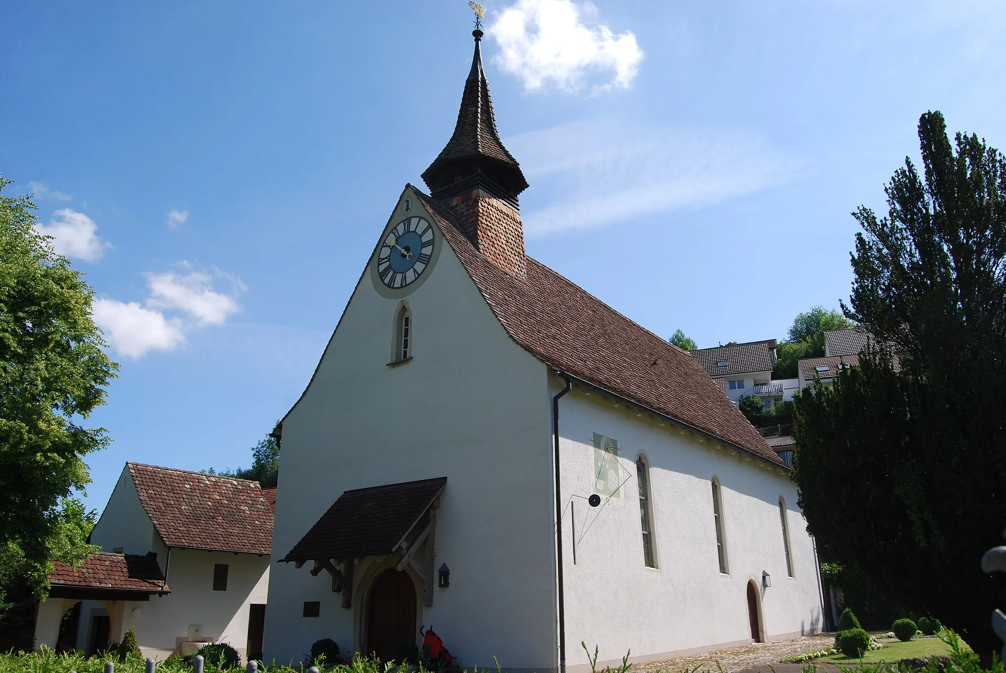
BibersteinVillageBiberstein is a charming village located along the banks of the Aare River.
41 km
41 km
Schürberg550 mPeakSchürberg offers scenic viewpoints with panoramic vistas of the surrounding countryside.
46 km
46 km
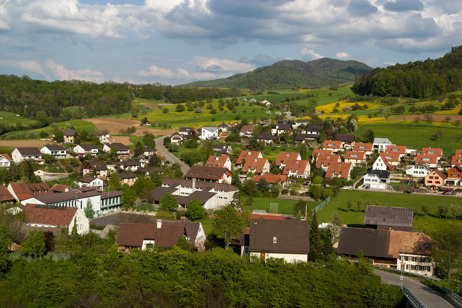
DürrenäschVillageDürrenäsch is a peaceful village surrounded by rolling hills and lush greenery.
57 km
57 km
Chnubel584 mPeakChnubel is a famous cycling spot offering stunning views over the Swiss landscapes.
66 km
66 km
SafenwilVillageSafenwil is a small town with a charming city center and beautiful historic buildings.
78 km
78 km
TrimbachVillageTrimbach is a peaceful village with quaint Swiss architecture.
84 km
84 km
Unterer Hauenstein690 mMountain PassUnterer Hauenstein is a legendary climb that has been featured in multiple professional cycling events.
92 km
92 km
RünenbergVillage95 km
95 km
Berg614 mPeakBerg is a scenic village surrounded by beautiful countryside.
97 km
97 km
Finish: Gelterkinden Village centerGelterkinden: Exhilarating climbs and well-paved roads in the heart of Switzerland.
Cycling routes from Gelterkinden:
Gelterkinden Road Cycling Route Gelterkinden Gravel Cycling Route Gelterkinden Road Cycling Adventure Gelterkinden Extensive Road Cycling Route Gelterkinden Gravel Adventure Rheinfelden Loop Frick Valley Adventure Höhendorf Explorer Rheinfelden Extravaganza Jura Adventure Gelterkinden - Hans-Thoma-Blick - Gelterkinden Gelterkinden - Chnubel - Gelterkinden Gelterkinden - Bad Säckingen - Gelterkinden
Cycling routes nearby: