The Black Forest Challenge
A road cycling route starting from Klingnau
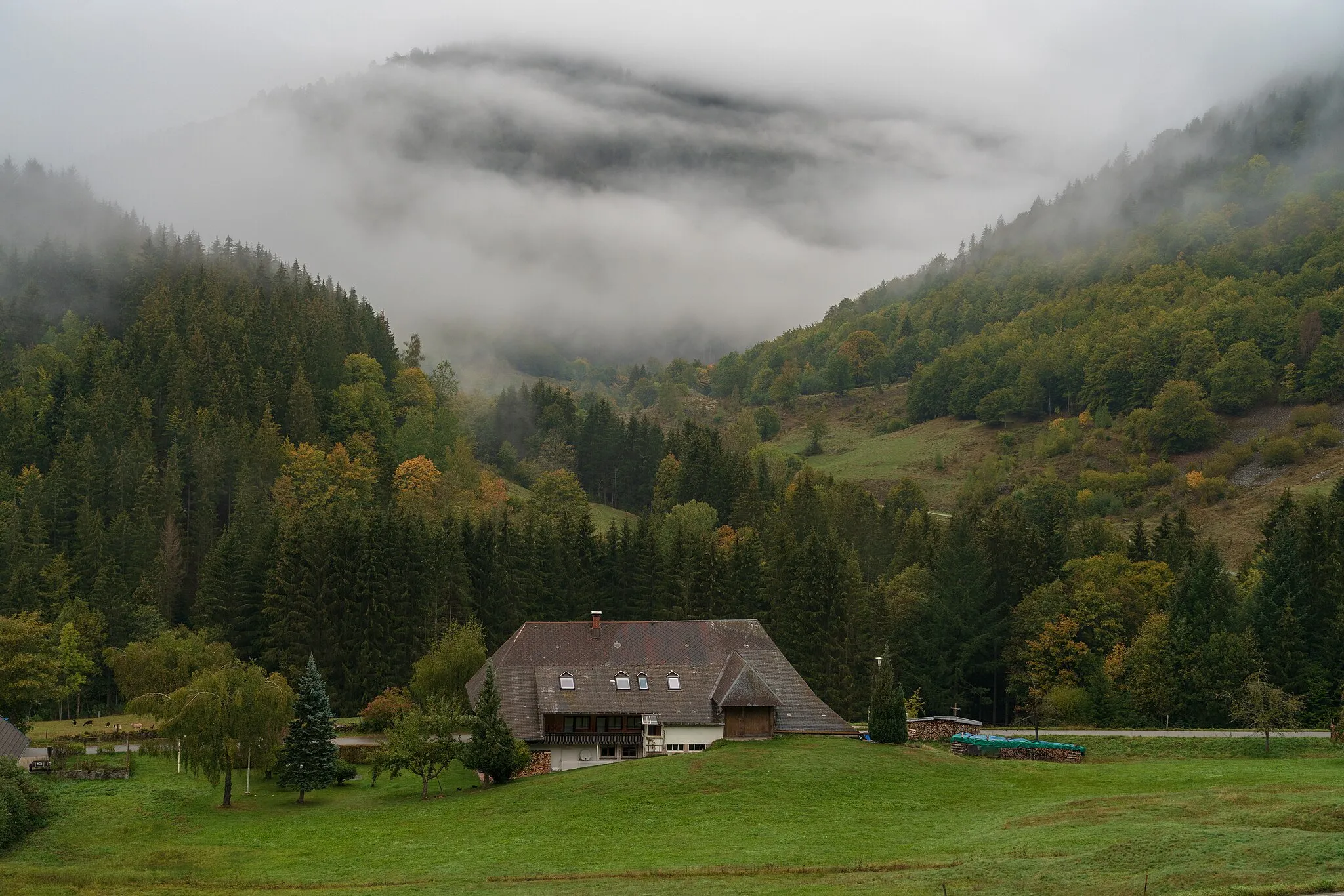
Conquer challenging climbs and be rewarded with breathtaking views in the Black Forest region
Map
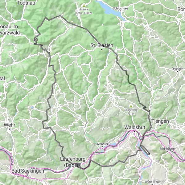
This 109 km road route takes you through the stunning landscapes of the Black Forest region. Prepare for an elevation gain of 2310 m as you tackle epic climbs such as the Hochkopf and the Kaiserberg. Along the way, you'll pass by charming villages like Laufenburg and Herrischried. With its demanding terrain, this route is recommended for experienced cyclists seeking a challenging and exhilarating ride.
road
109 km
2310 m
Savage
Route profile
Highlights on the route
0 km
0 km
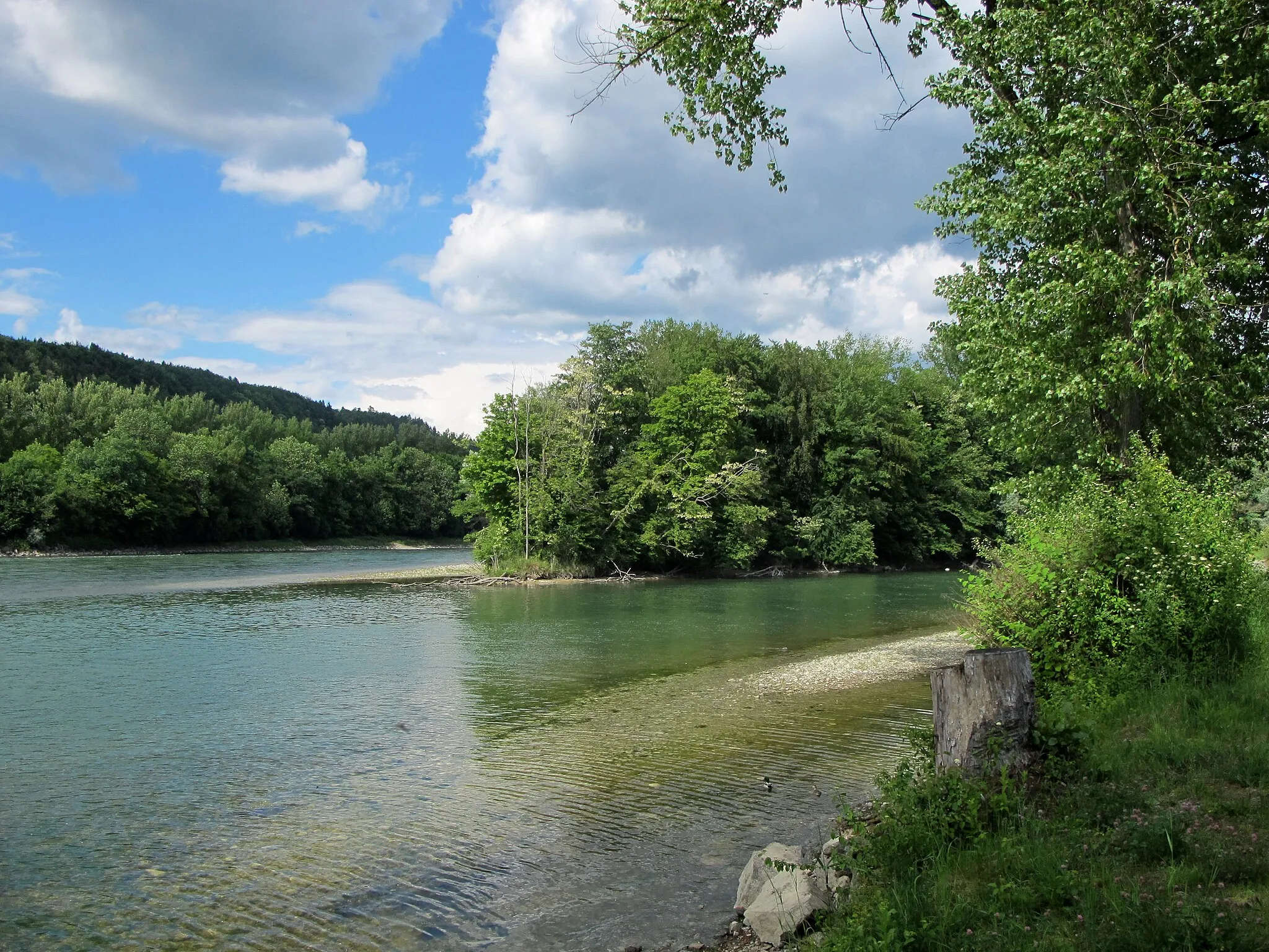
Start: Klingnau Village centerKlingnau: Idyllic cycling discovery in Nordwestschweiz
Klingnau, located in Nordwestschweiz, Switzerland, offers an immersive cycling experience with its picturesque landscapes and well-maintained roads. As a cyclist, you can explore the mesmerizing River Rhine, which flows through the locality, while enjoying a leisurely ride. Klingnau is also known for its charming old town, making it an ideal destination for cyclists looking for a combination of history and adventure. With its tranquil atmosphere and abundant cycling opportunities, Klingnau is a must-visit locality for any cycling enthusiast.0 km
0 km
KlingnauVillageStart your journey at Klingnau and explore its medieval castle.
21 km
21 km
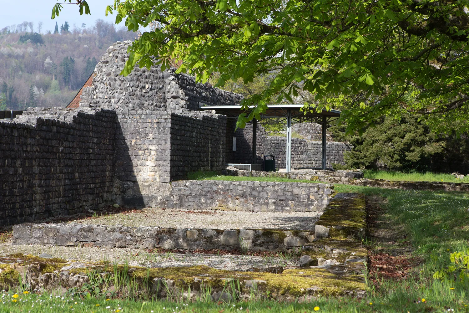
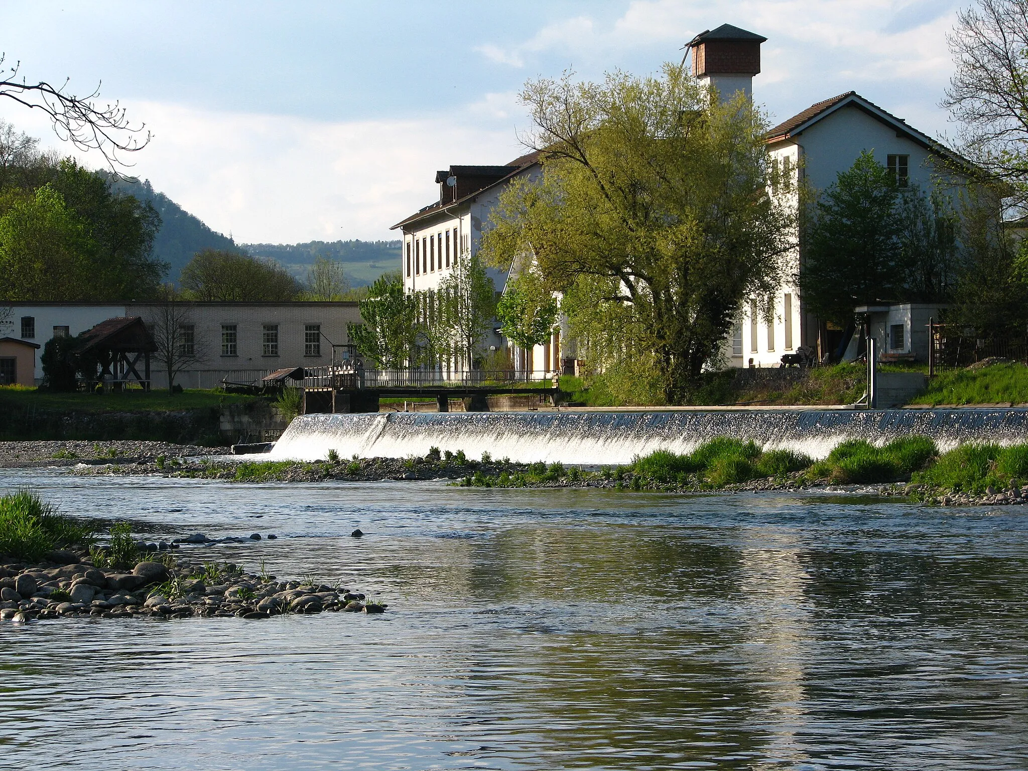
LaufenburgTownVisit Laufenburg and enjoy its picturesque location on the banks of the Rhine River.
21 km
21 km
Hans-Thoma-BlickViewpointStop at the Hans-Thoma-Blick and appreciate the stunning panoramic views of the Black Forest.
38 km
38 km
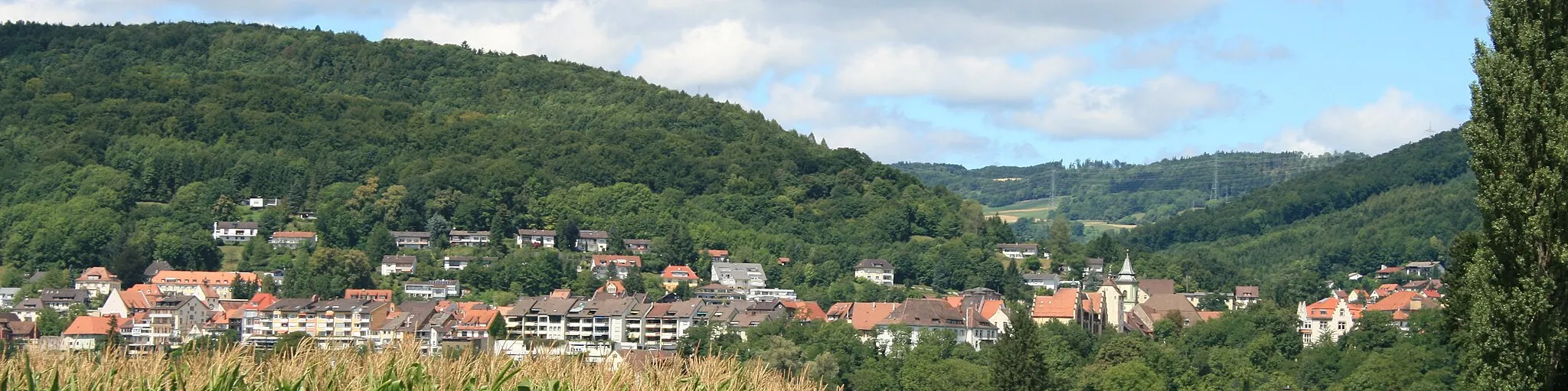
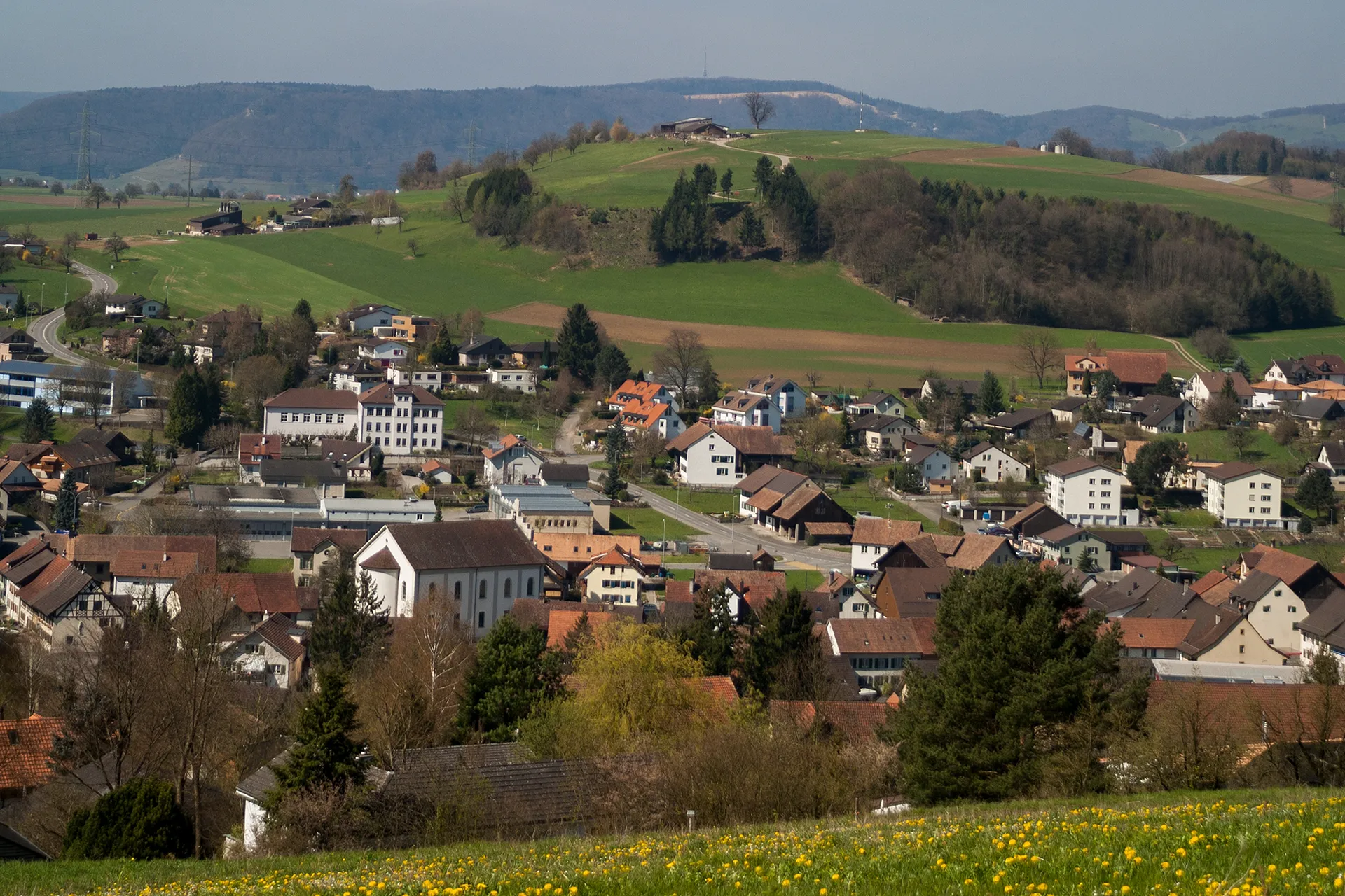
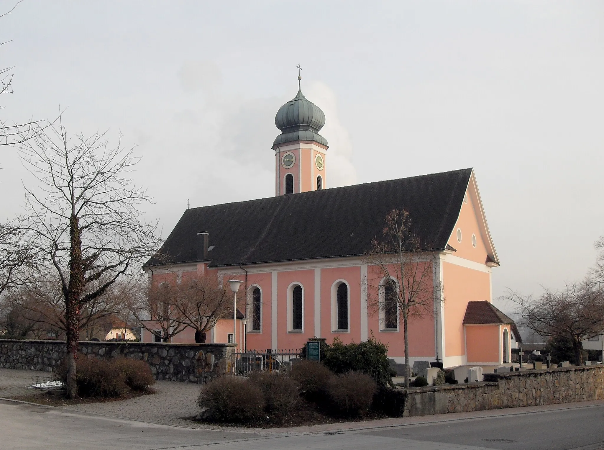
HerrischriedVillageTake on the challenging climb up Herrischried and admire the beauty of the Black Forest.
41 km
41 km
Schellenberg1001 mPeakPass through Schellenberg, a charming village known for its well-preserved medieval buildings.
53 km
53 km
Hochkopf1263 mPeak ViewpointClimb up the Hochkopf and be rewarded with sweeping views of the Black Forest region.
59 km
59 km
PrägHamletMake a stop at Präg and explore the village's traditional Schwarzwald houses.
70 km
70 km
Kaiserberg1145 mPeakChallenge yourself with the demanding climb up the Kaiserberg.
83 km
83 km
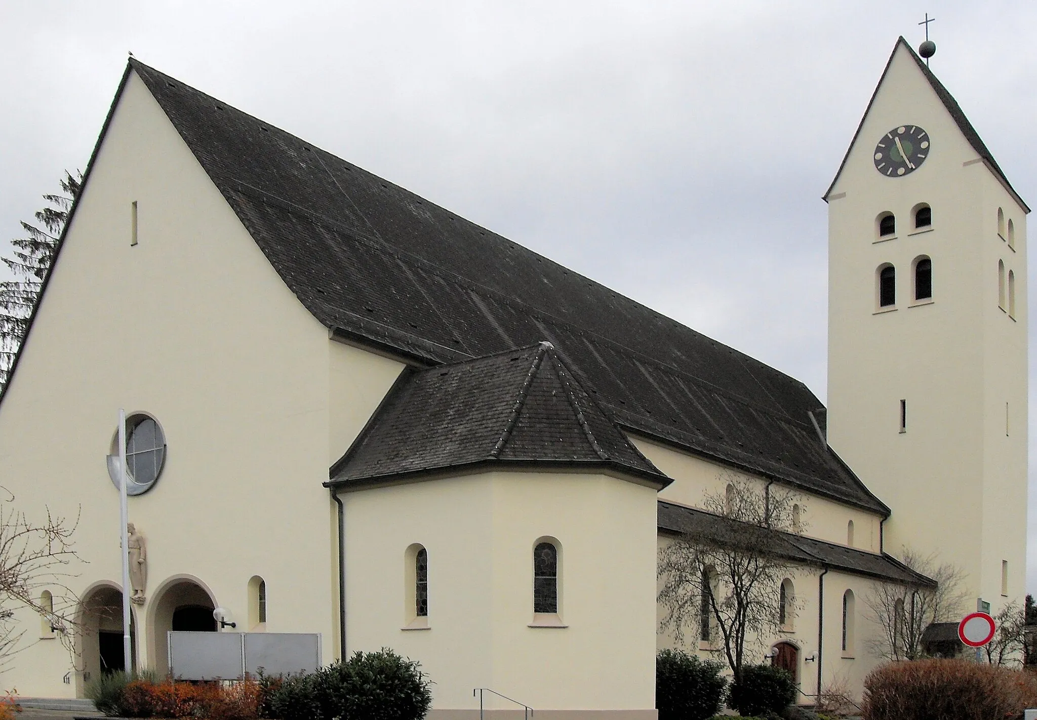
HöchenschwandVillageEnjoy the breathtaking views from Höchenschwand, a popular lookout point in the region.
104 km
104 km
KoblenzVillageDon't miss a visit to Koblenz, a historic town located at the junction of the Aare and Limmat rivers.
108 km
108 km
Hönger435 mPeakPass by Hönger, a picturesque village surrounded by lush meadows and forests.
109 km
109 km
Finish: Klingnau Village centerKlingnau: Idyllic cycling discovery in Nordwestschweiz
Cycling routes nearby: