Möhlin and Beyond
A gravel cycling route starting from Mohlin
Explore the stunning countryside around Möhlin with this thrilling gravel cycling route.
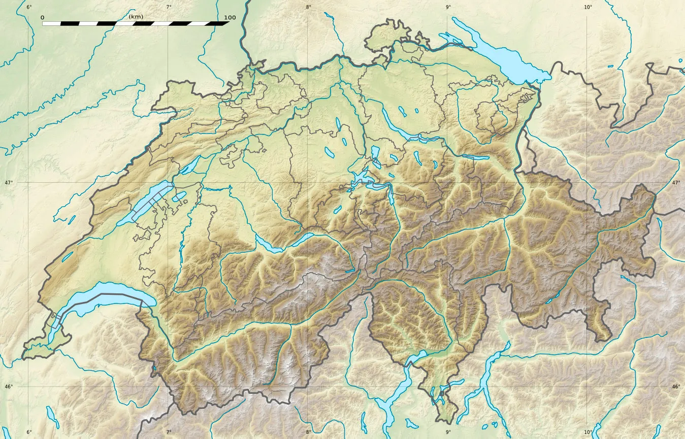
Map
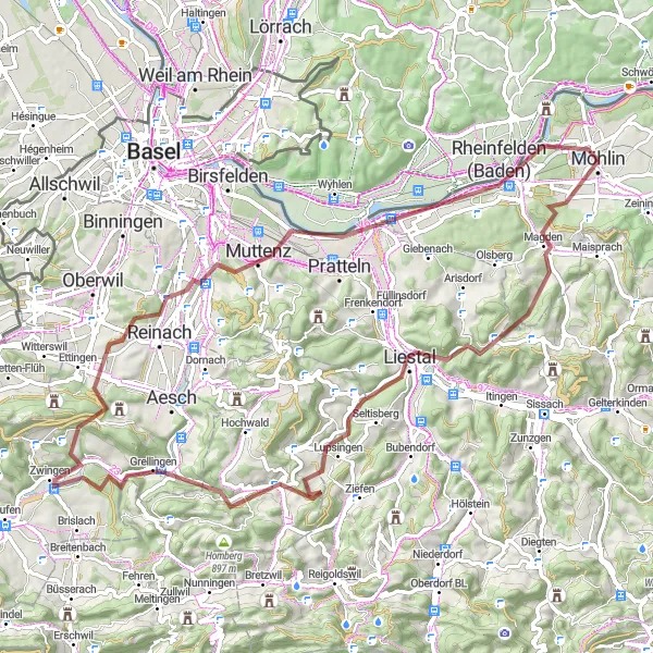
This 77-kilometer gravel cycling route starting near Möhlin takes you through beautiful landscapes and charming villages. The route includes a total ascent of 1422 meters, providing a challenging but rewarding experience. Discover the hidden highlights along the way and enjoy the peacefulness of the surrounding nature.
gravel
77 km
1422 m
Tough
Route profile
Highlights on the route
0 km
0 km
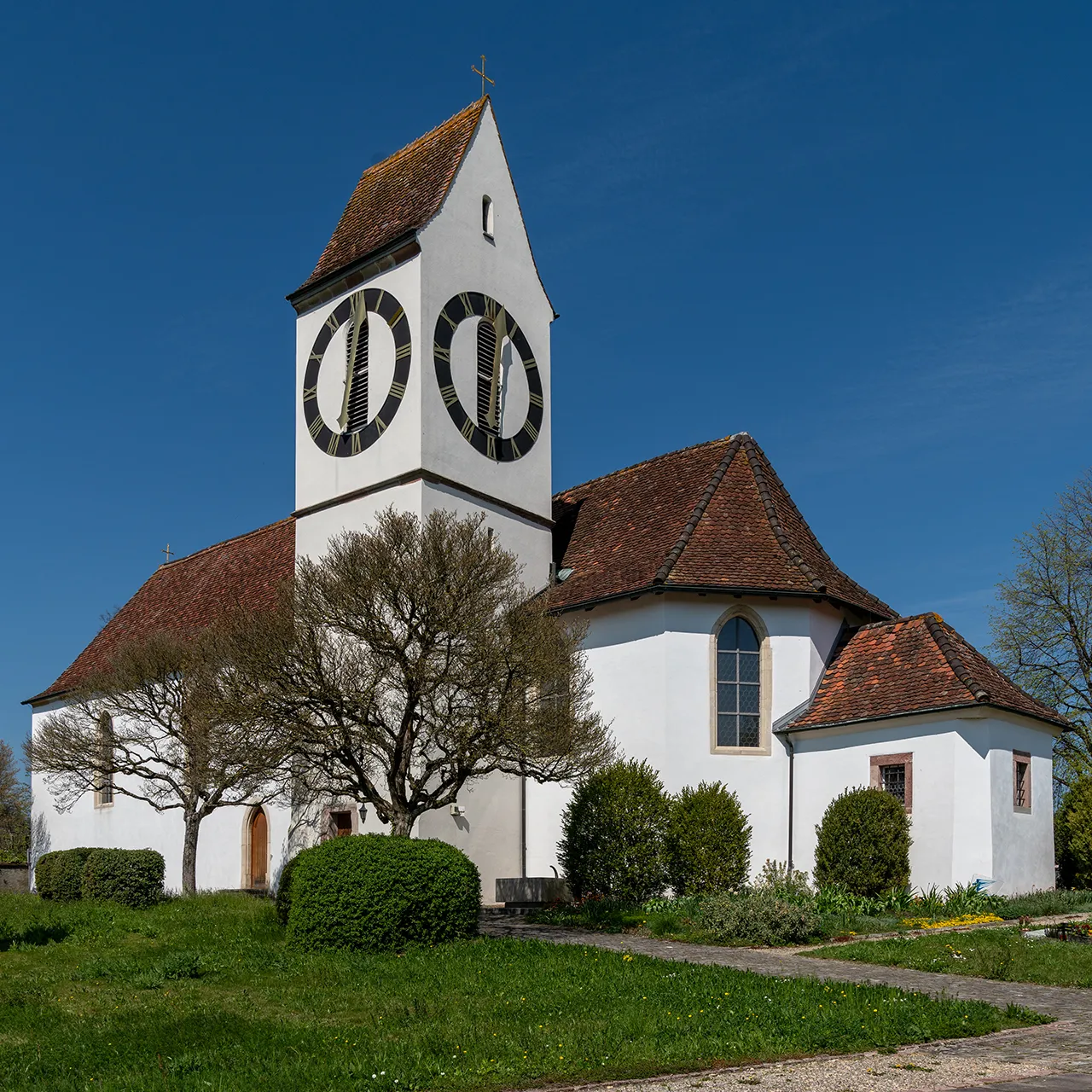
Start: Möhlin City centerMöhlin: Cyclist's paradise in Nordwestschweiz
Möhlin, located in the Nordwestschweiz region of Switzerland, is known for its cyclist-friendly atmosphere. The locality offers a mix of road and gravel routes with varying difficulty levels. Cyclists can enjoy riding through the idyllic countryside and picturesque villages. Möhlin is close to the Rhine River, which provides scenic views and flat terrain for enjoyable rides. It is a must-visit destination for cyclists looking for a diverse range of routes.0 km
0 km
MöhlinTownMöhlin - the starting point of the route, known for its picturesque charm.
14 km
14 km
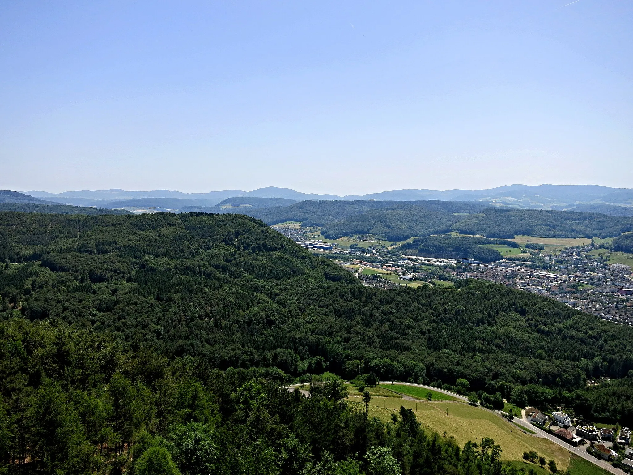
SchleifenbergturmViewpointSchleifenbergturm - a recommended stop to admire panoramic views of the surrounding area.
26 km
26 km
Bettenberg758 mPeakBettenberg - a hilly area with scenic landscapes and breathtaking views.
28 km
28 km
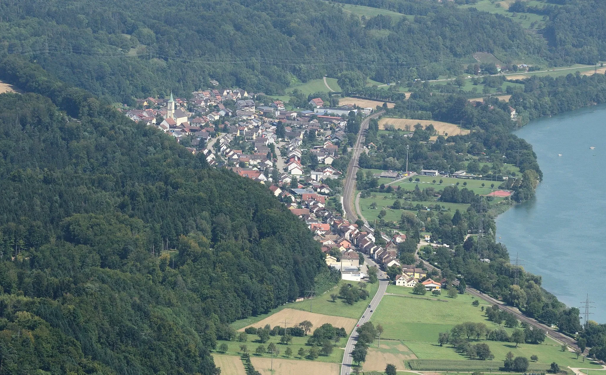
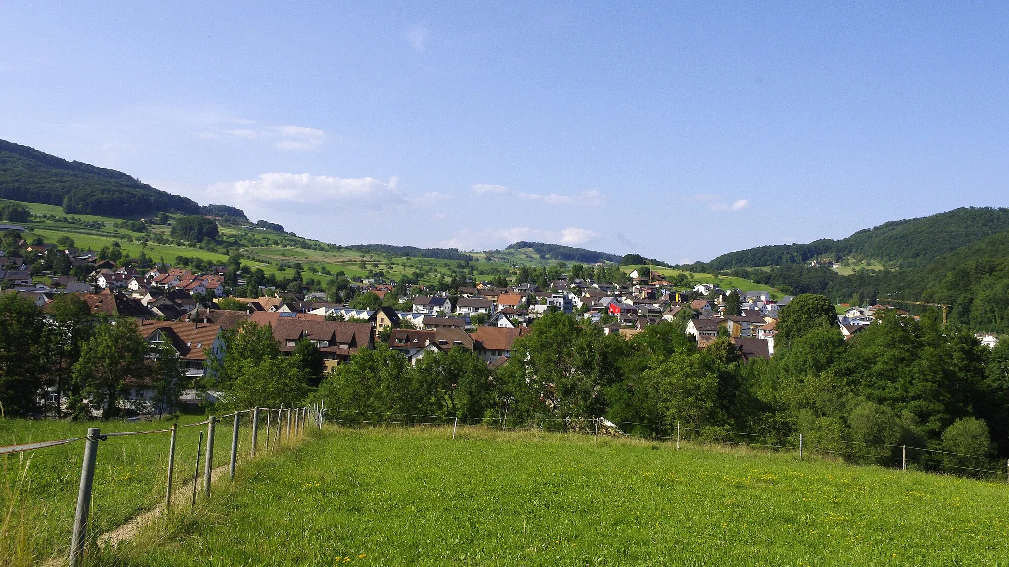
SeewenVillageSeewen - a peaceful village surrounded by serene natural beauty.
38 km
38 km
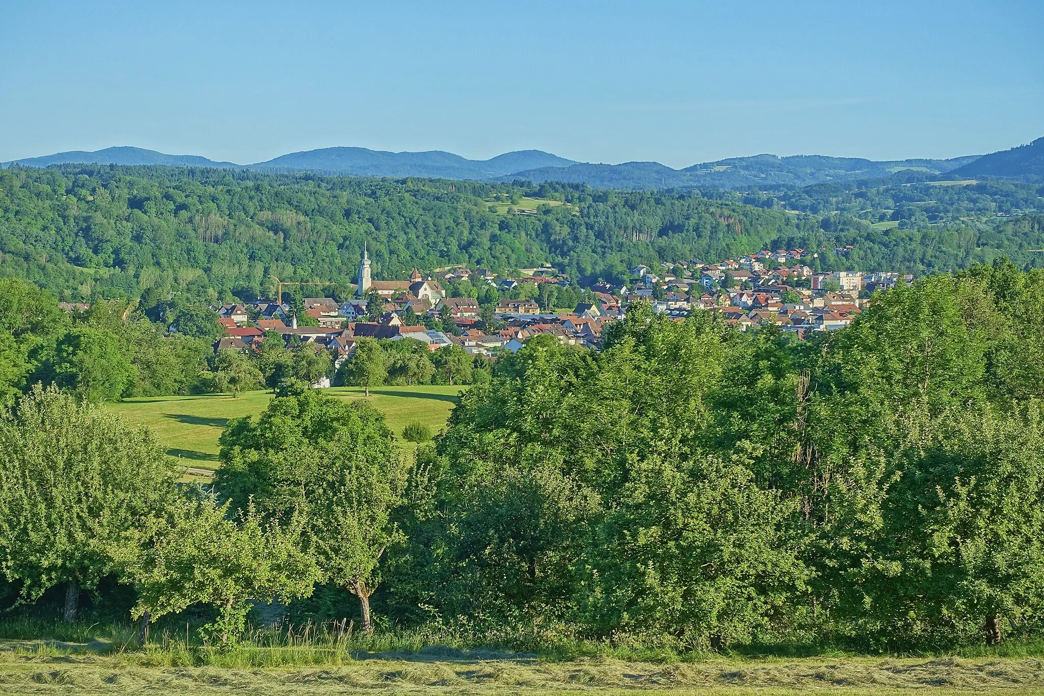
NenzlingenVillageNenzlingen - a quaint village with traditional Swiss architecture and a charming atmosphere.
57 km
57 km
MünchensteinTownMünchenstein - a historic town with interesting architectural landmarks and cultural sites.
64 km
64 km
BiotopViewpointBiotop - an ecological hot spot with diverse flora and fauna.
72 km
72 km
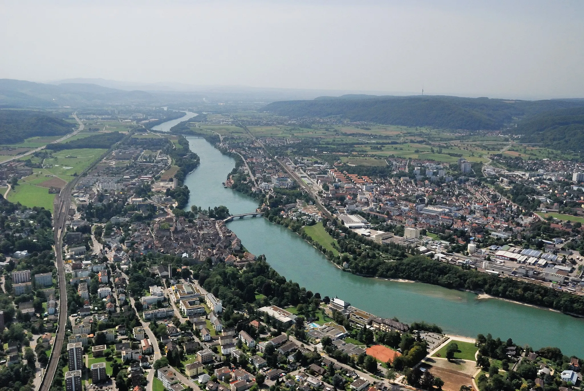
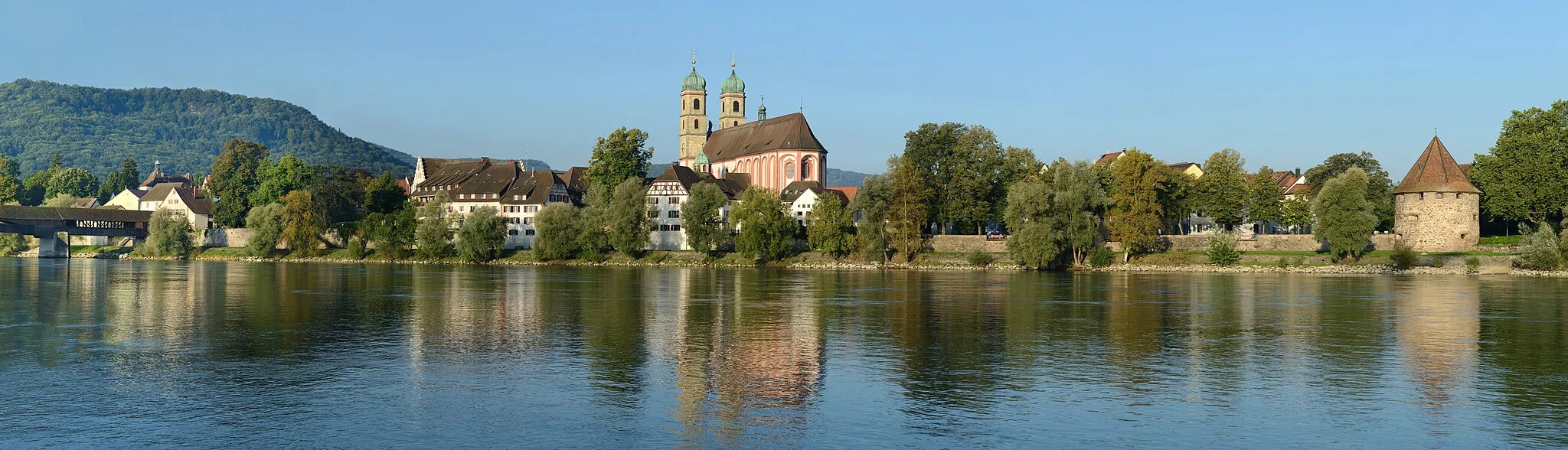
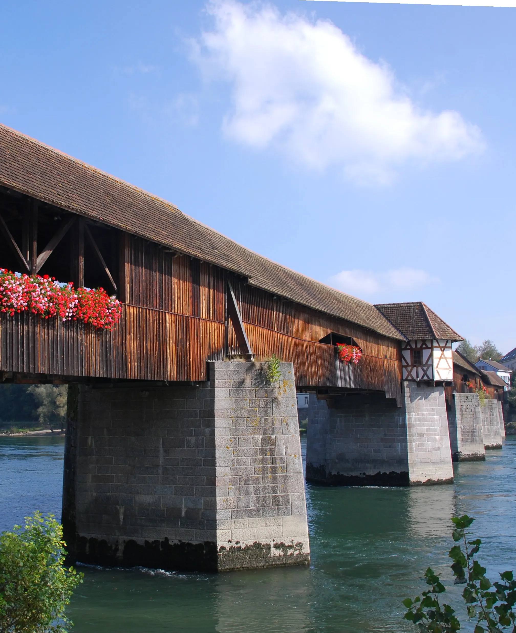
RheinfeldenTownRheinfelden - a vibrant town split between Switzerland and Germany, offering unique cultural experiences.
74 km
74 km
Kraftwerk RheinfeldenViewpointKraftwerk Rheinfelden - a prominent hydroelectric power plant offering an impressive sight along the route.
77 km
77 km
Finish: Möhlin City centerMöhlin: Cyclist's paradise in Nordwestschweiz
Cycling routes from Mohlin:
Füllinsdorf Loop Rheinfelden Adventure Panoramic Hills Challenge Rheinfelden Gravel Adventure Panoramic Hauenstein Challenge The Black Forest Loop The Rhine Valley Ride The Gravel Adventure The Ultimate Black Forest Challenge The Riverside Escape Challenging Alpine Adventure Explore the Gravel Roads Möhlin and Beyond The Alpental Excursion
Cycling routes nearby: