Rupperswil to Bözbergpass
A road cycling route starting from Rupperswil
Conquer the challenging ascent to Bözbergpass on this road cycling route
Map
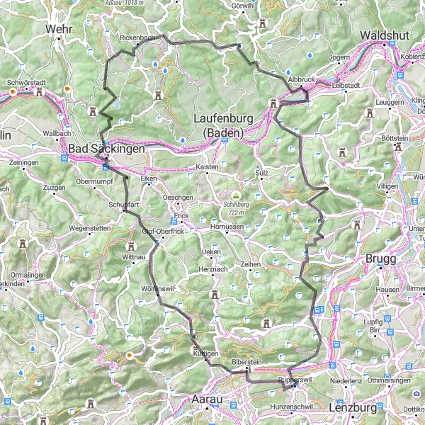
Prepare for a challenging road cycling adventure from Rupperswil to Bözbergpass. With a significant ascent and a distance of 91 kilometers, this route is best suited for experienced cyclists. Along the way, you will encounter stunning scenery, historical landmarks, and the thrill of conquering a demanding climb. The epicness factor of 5 signifies the legendary status of the Bözbergpass climb. While the difficulty level is high, the sense of achievement and the awe-inspiring views make it worth the effort.
road
91 km
1822 m
Savage
Route profile
Highlights on the route
0 km
0 km
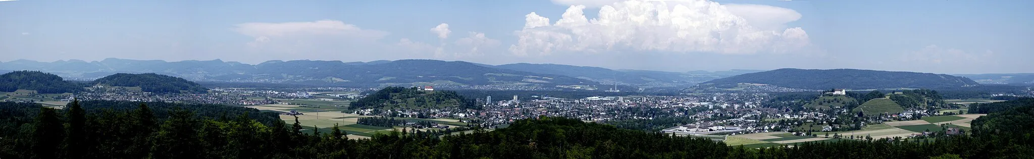
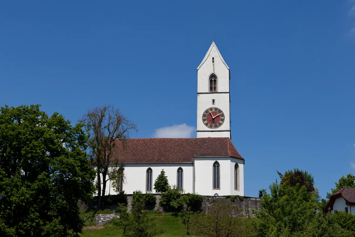
Start: Rupperswil Village centerRupperswil: Rupperswil: A Haven for Cycling Enthusiasts
Rupperswil, nestled in Switzerland's Nordwestschweiz region, offers a memorable cycling experience for road and gravel cyclists. The locality is known for its picturesque surroundings and well-planned cycling routes. Cyclists can enjoy rolling hills, winding roads, and scenic views throughout their rides. Additionally, the nearby Habsberg Pass attracts cyclists with its challenging climb and breathtaking panoramic vistas. Rupperswil is truly a cyclist's dream destination.0 km
0 km
RupperswilVillageStart your journey in Rupperswil, a charming Swiss town with a rich history and idyllic setting on the banks of the Aare River.
10 km
10 km
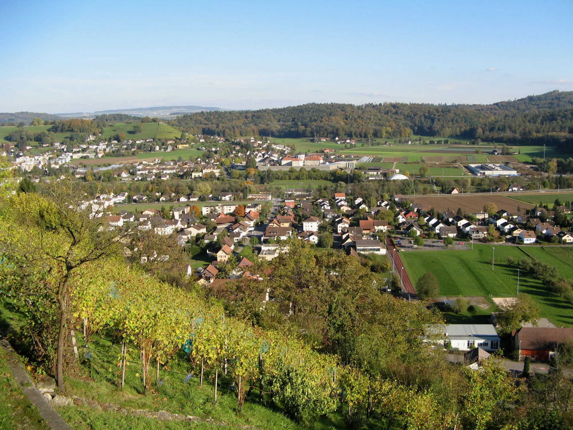
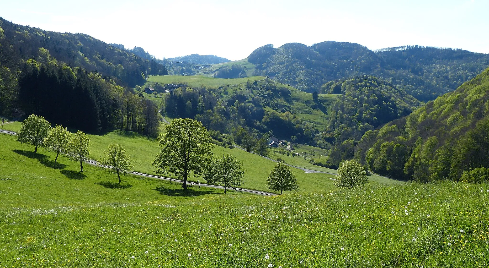
Wasserflue844 mPeakMake sure to visit Wasserflue, a stunning vantage point that offers panoramic views of the surrounding Swiss landscape.
30 km
30 km
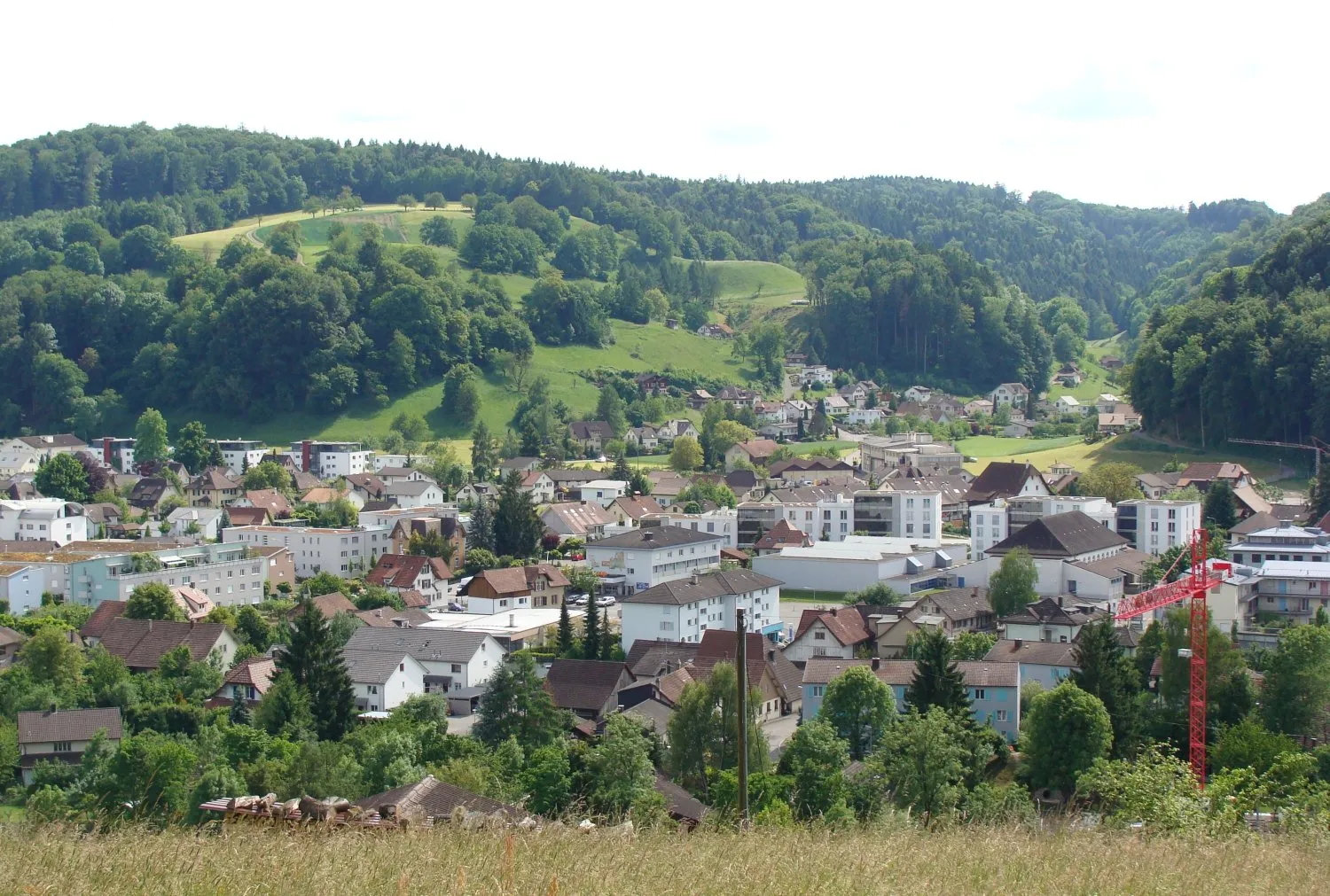
Bad SäckingenTownBad Säckingen, located on the Swiss-German border, is known for its picturesque old town and the famous wooden bridge spanning the Rhine River.
34 km
34 km
Röthekopf510 mPeak ViewpointRöthekopf is a quiet and charming village surrounded by rolling hills and green meadows.
47 km
47 km
Hoheneck826 mPeakHoheneck is a picturesque village nestled on a wooded hillside, offering breathtaking views of the Swiss countryside.
58 km
58 km
AlbbruckVillageAlbbruck is a small Swiss town known for its scenic location on the banks of the Rhine River.
73 km
73 km
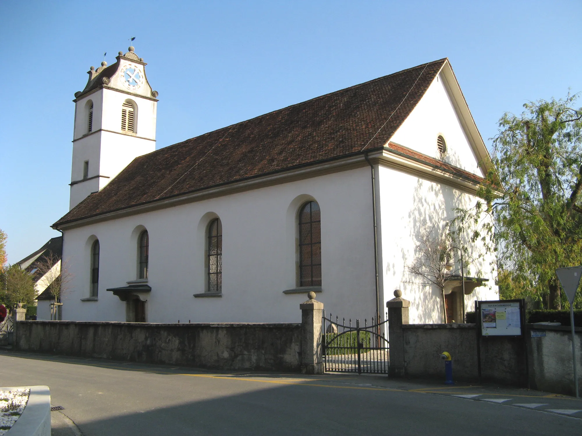
MönthalVillageMönthal is a quaint village with picturesque Swiss landscapes and a peaceful ambiance.
79 km
79 km
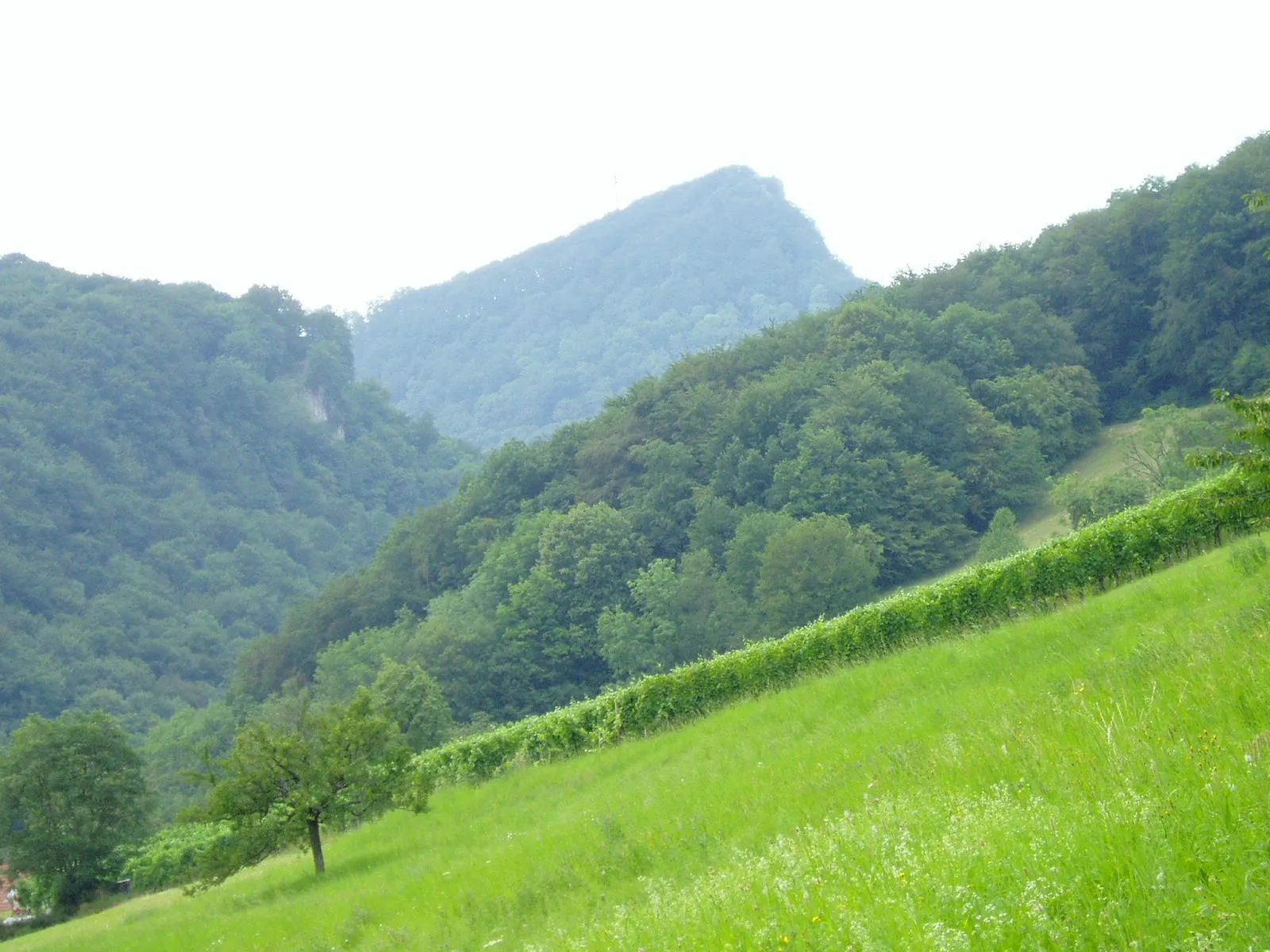
Bözbergpass569 mMountain PassBözbergpass is the highlight of this route, offering a challenging climb and rewarding riders with stunning panoramic views from the summit.
88 km
88 km
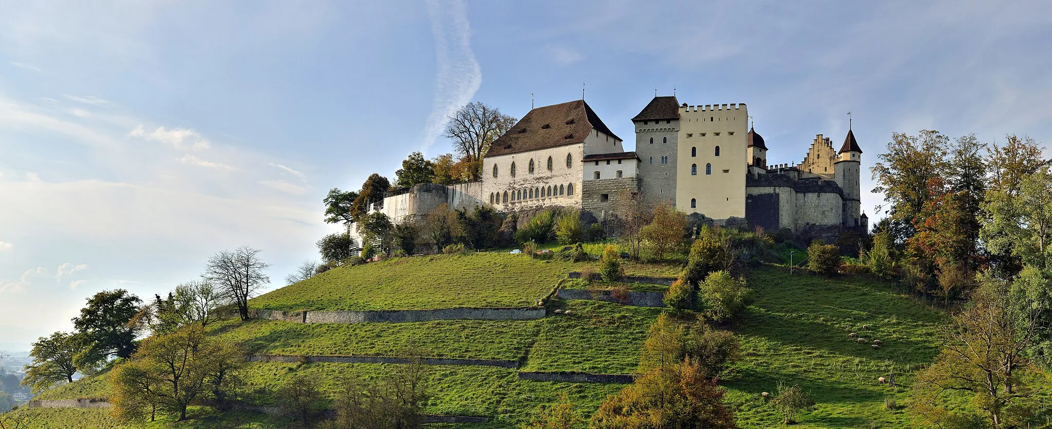
AuensteinVillageAuenstein, with its charming castle and idyllic location on the banks of the Aare River, is worth a visit for its beauty and romance.
91 km
91 km
Finish: Rupperswil Village centerRupperswil: Rupperswil: A Haven for Cycling Enthusiasts
Cycling routes from Rupperswil:
Exploring Lenzburg Rupperswil to Baden Discover Möriken and Villmergen Gravel Around Mellingen and Sarmenstorf Road Cycling Adventure Gravel Adventure through Lenzburg and Lindenberg Scenic Ride through Rupperswil and Sursee Rupperswil to Bözbergpass Gravel Ride through Unique Landscapes Aarau and Frick Road Cycling Route The Jura Challenge
Cycling routes nearby: