Untersiggenthal Adventure: From Hills to Valleys
A road cycling route starting from Untersiggenthal
Embark on an epic cycling journey from Untersiggenthal to various captivating destinations.
Map
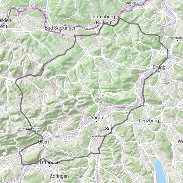
Prepare for an unforgettable cycling adventure as you embark on a scenic round-trip route from Untersiggenthal to various remarkable destinations. With a total ascent of 1407 meters and a distance of 115 kilometers, this route promises thrilling challenges and breathtaking landscapes. Explore picturesque villages, conquer challenging climbs, and revel in the beauty of diverse natural surroundings. From ancient castles to stunning panoramic vistas, this route offers a plethora of attractions to enthrall cyclists of all levels. Immerse yourself in the marvelous mix of hills, valleys, and quaint towns that epitomize the allure of Untersiggenthal and its neighboring regions.
road
115 km
1407 m
Tough
Route profile
Highlights on the route
0 km
0 km
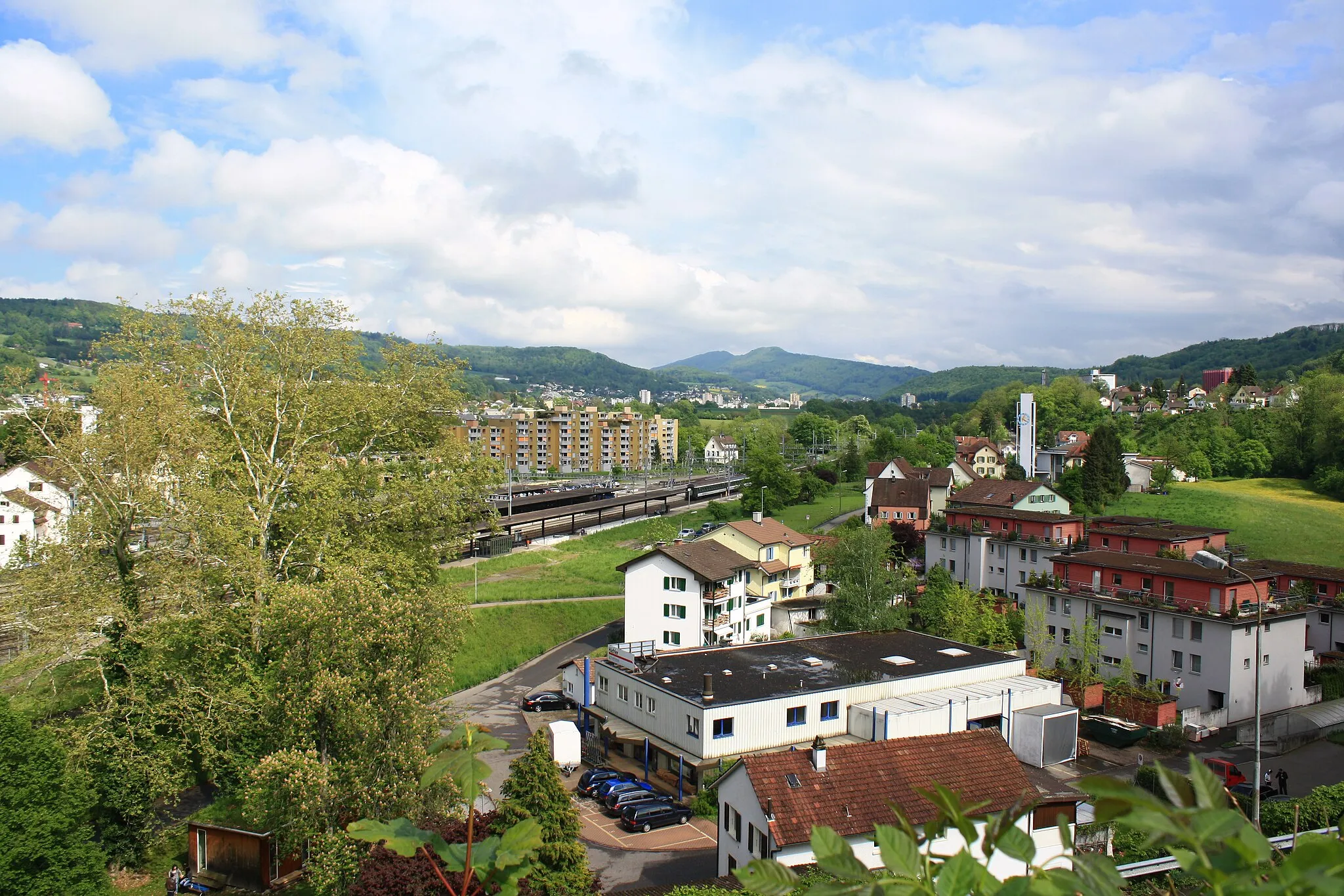
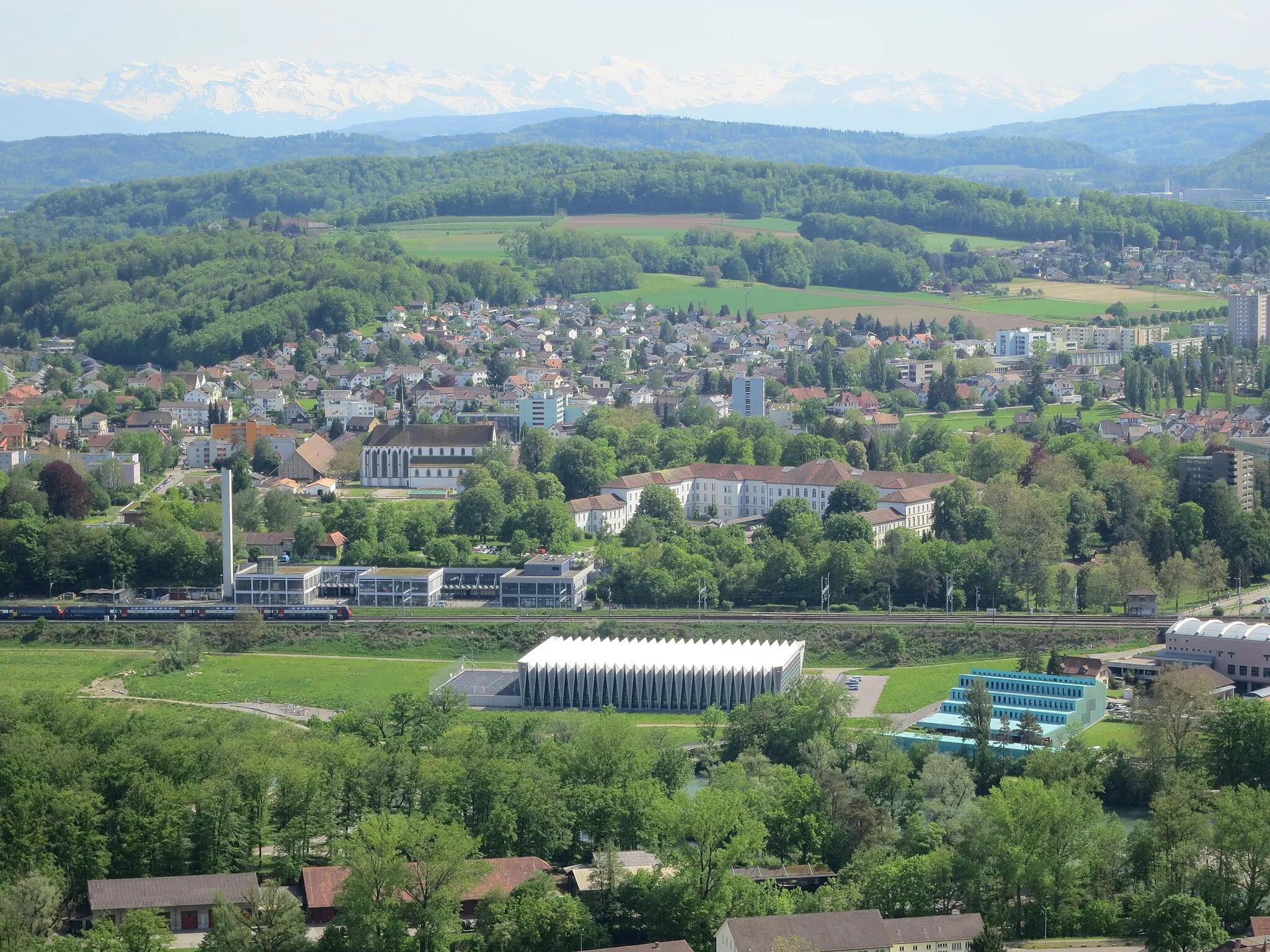
Start: Stilli Village centerUntersiggenthal: Cycling paradise in Nordwestschweiz, Switzerland.
Untersiggenthal, situated in Nordwestschweiz, Switzerland, is a haven for road and gravel cyclists. This locality is surrounded by stunning natural beauty, offering cyclists breathtaking views as they ride through the scenic landscapes. There are also plenty of well-maintained cycling routes and paths, perfect for exploring the area on two wheels. Additionally, Untersiggenthal is conveniently located near several well-known climbs, including the famous Gotthard Pass. With its cycling-friendly infrastructure and access to legendary climbs, Untersiggenthal is a top destination for cyclists looking for a challenging and rewarding ride.2 km
2 km
Bruggerberg516 mPeakAdmire the scenic landscapes of Bruggerberg as you pedal through this picturesque part of the route, showcasing rolling hills and enchanting farms.
7 km
7 km
HabsburgCastleExplore Habsburg Castle, a majestic medieval fortress perched atop a hill, offering magnificent views of the surrounding countryside.
21 km
21 km
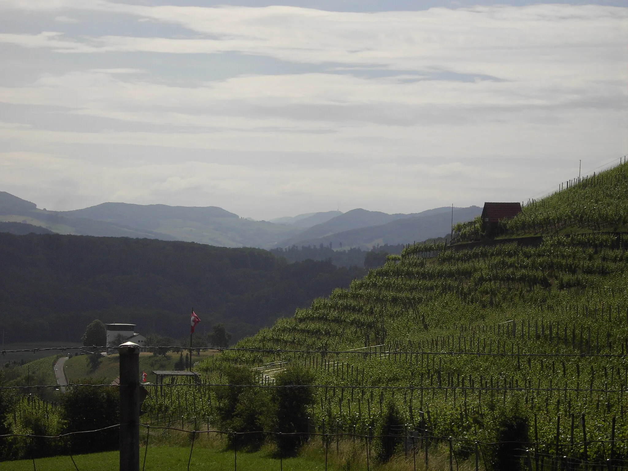
Brästenegg411 mPeakVenture through Brästenegg and soak in the tranquility of this captivating landscape surrounded by lush forests and meandering streams.
23 km
23 km
SuhrTownPass through Suhr and admire the town's beautiful historic buildings, stylish architecture, and vibrant town square.
34 km
34 km
Fuchshubel590 mPeakAchieve a sense of accomplishment as you reach the summit of Fuchshubel, a feat rewarded with panoramic views of the Aarau region.
40 km
40 km
OftringenTownDiscover the fascinating town of Oftringen and experience its charming blend of historical and modern attractions, including the impressive Aargau Bridge.
61 km
61 km
Unterer Hauenstein690 mMountain PassConquer the challenge of climbing the renowned Unterer Hauenstein Pass, an iconic destination for cycling enthusiasts seeking a memorable ascent.
63 km
63 km
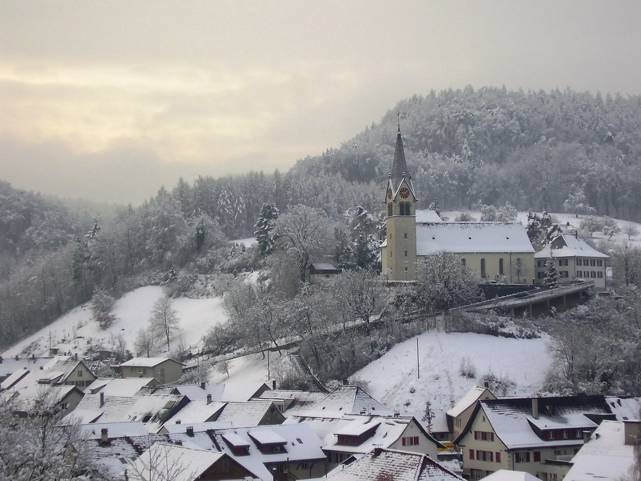
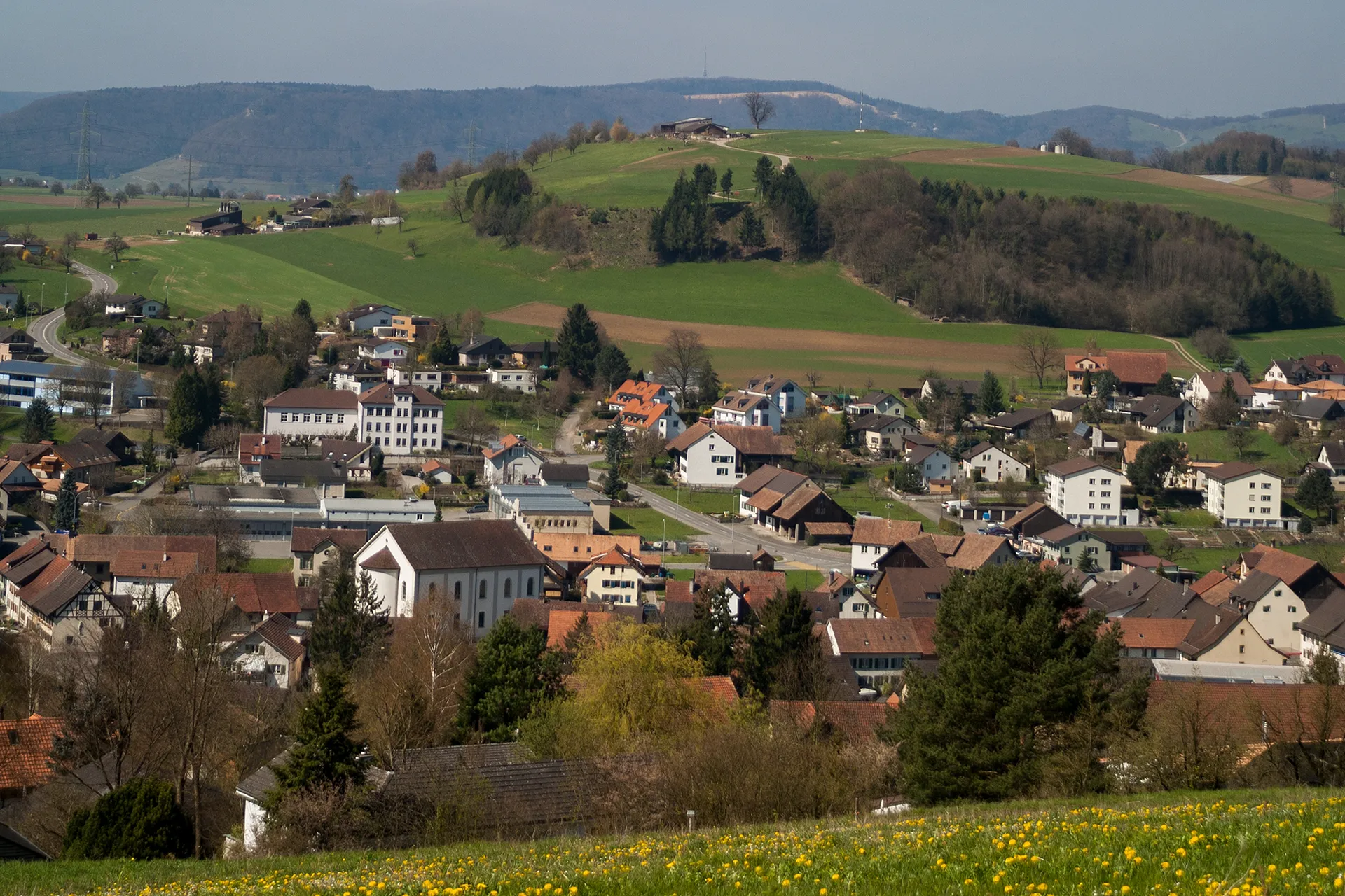
LäufelfingenVillagePause at Läufelfingen and enjoy the quiet charm of this idyllic village nestled amidst rolling hills and lush forests.
72 km
72 km
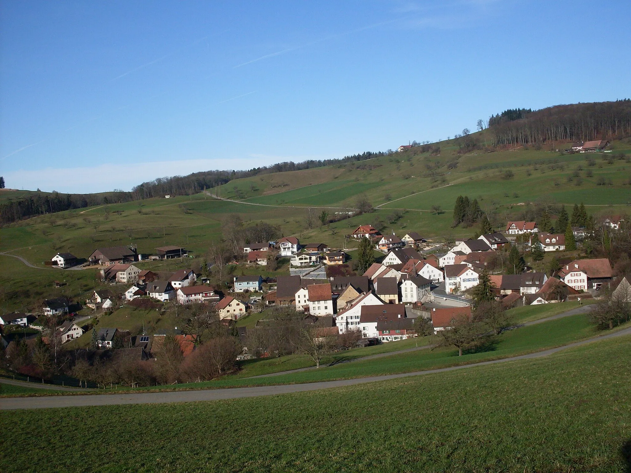
BöcktenVillageAdmire Böckten's charming Swiss architecture and soak up the peaceful ambiance of this traditional village.
78 km
78 km
Wischberg678 mPeakClimb Wischberg Hill and savor the magnificent panoramic views that unfold from the summit, offering a true cycling reward.
96 km
96 km
Hans-Thoma-BlickViewpointExperience the breathtaking Hans-Thoma-Blick viewpoint, providing vistas of pristine landscapes and the majestic Feldberg mountain in the distance.
96 km
96 km
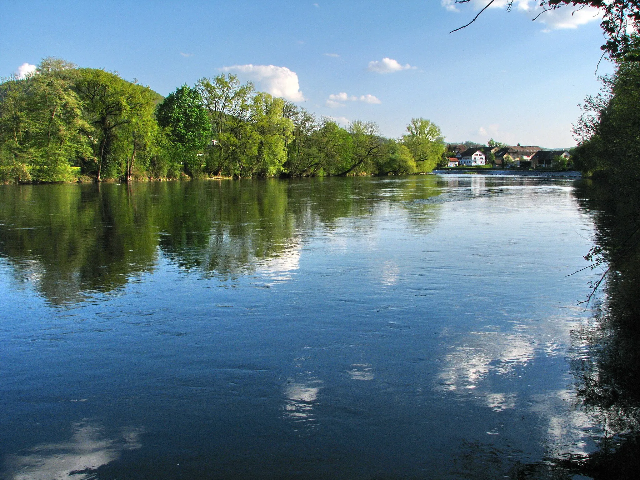
LaufenburgTownVisit Laufenburg, a captivating town divided by the Rhine River, boasting a unique blend of Swiss and German influences.
109 km
109 km
Grünegg Passhöhe550 mMountain PassConquer the challenging climb to Grünegg Passhöhe and be rewarded with breathtaking views of the Jura Mountains and surrounding valleys.
109 km
109 km
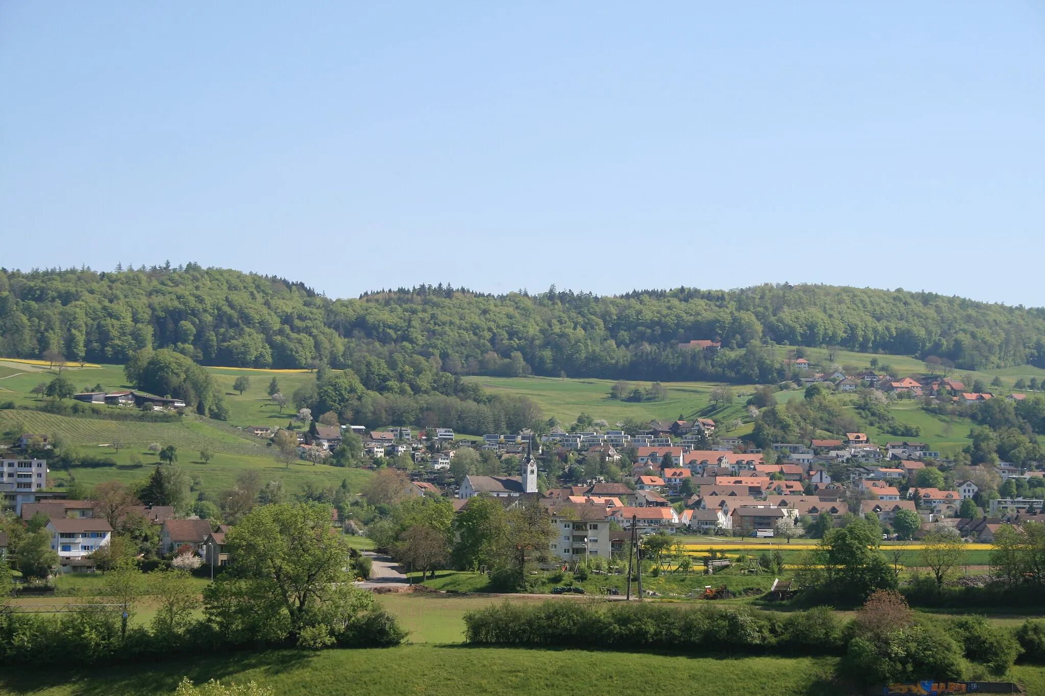
MandachVillagePass through Mandach and explore its idyllic countryside, dotted with charming farms and picturesque vineyards.
115 km
115 km
Finish: Stilli Village centerUntersiggenthal: Cycling paradise in Nordwestschweiz, Switzerland.
Cycling routes from Untersiggenthal:
The Rugged Roads of Untersiggenthal The Scenic Wonders of Untersiggenthal and Surroundings Untersiggenthal and Villigen Gravel Ride Lengnau AG and Baden Gravel Adventure Exploring Untersiggenthal and Beyond on Gravel Terrain A Journey Through Untersiggenthal and Beyond Untersiggenthal Adventure: From Hills to Valleys Remigen and Geissberg Scenic Gravel Route Monumental Road Ride through Brugg and Olten Iberig and Klingnau Gravel Route
Cycling routes nearby: