Bözberg Adventure
A gravel cycling route starting from Wettingen
Embark on a thrilling gravel cycling adventure through the scenic Bözbergpass region.
Map
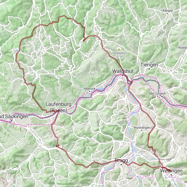
Get ready for an epic gravel cycling adventure through Bözbergpass, starting near Wettingen. This 114-kilometer route boasts a challenging ascent of 2455 meters and offers breathtaking natural landscapes. Discover the historical sites, picturesque viewpoints, and hidden gems along the way.
gravel
114 km
2455 m
Savage
Route profile
Highlights on the route
0 km
0 km
Start: Wettingen City centerWettingen: Embark on a cycling adventure in scenic Wettingen.
Wettingen, nestled in the Nordwestschweiz region of Switzerland, boasts a stunning backdrop for road and gravel cycling. With its rolling hills, vineyards, and panoramic views, this locality offers a captivating experience for cyclists. The town is well-equipped with cycling infrastructure, including designated bike lanes and paths, making it a cyclist-friendly destination. Nearby, the famous climb to Lägern awaits, featuring challenging gradients and rewarding vistas. Wettingen is a must-visit for cyclists looking to combine exhilarating rides with breathtaking scenery.11 km
11 km
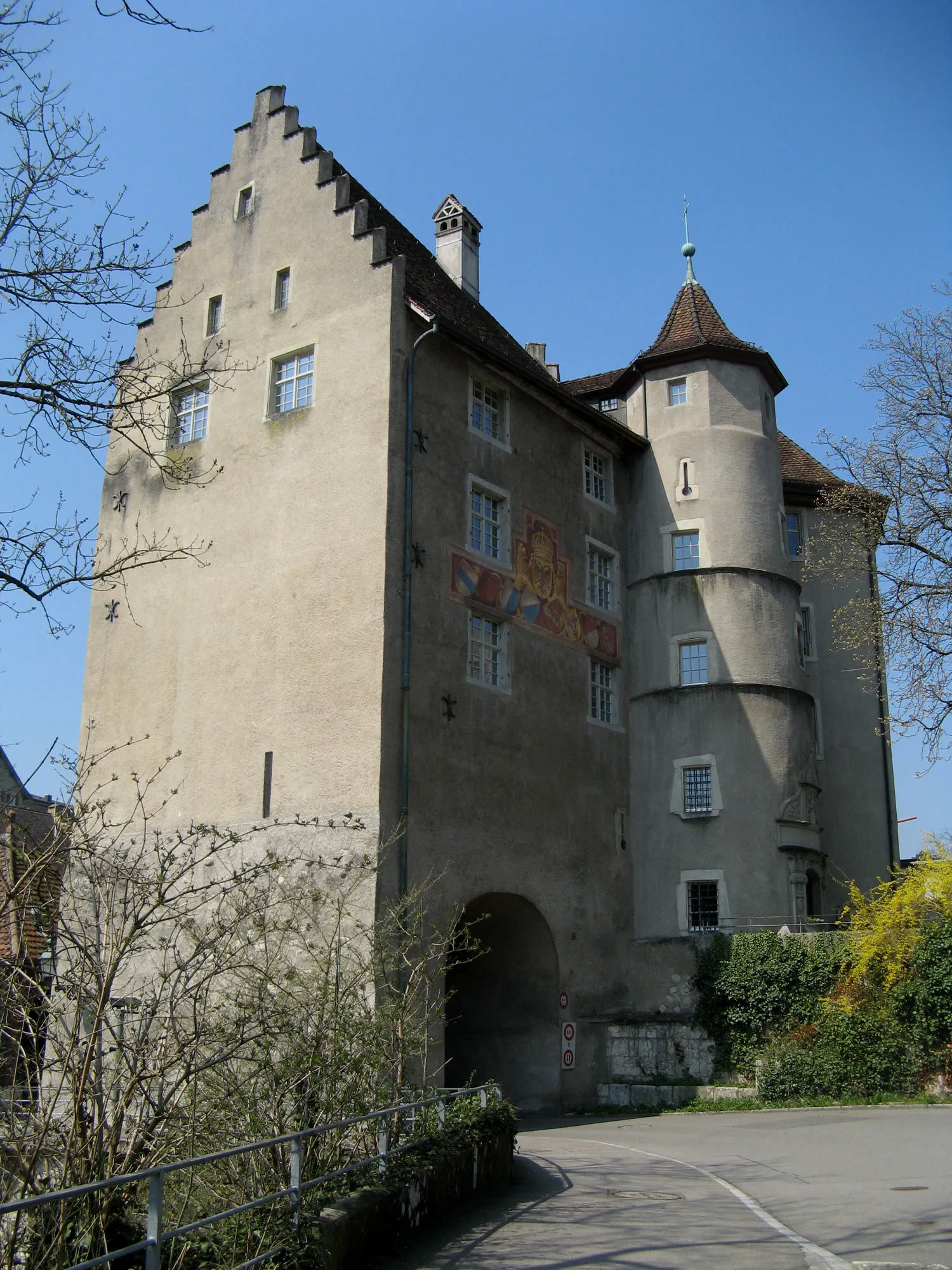
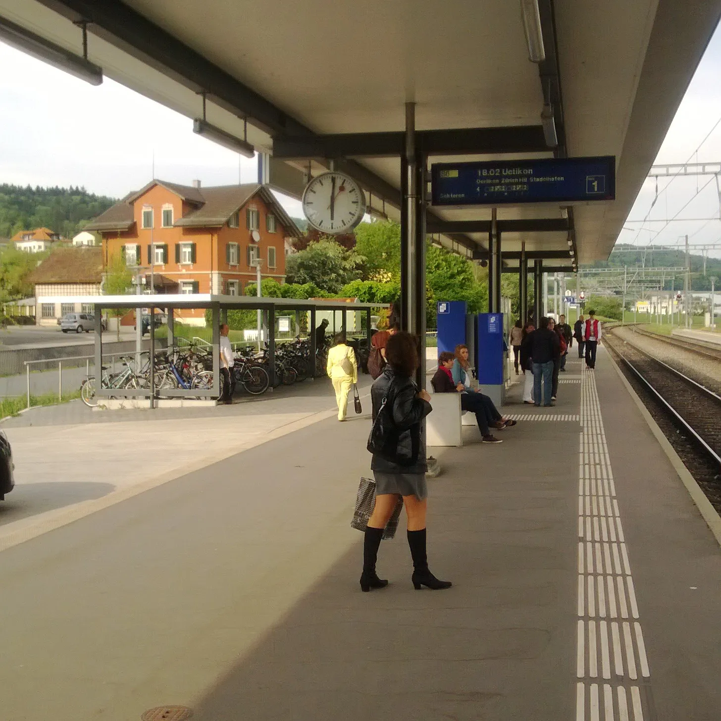
BruggTownBrugg is a historic town packed with medieval architecture and fascinating museums.
17 km
17 km
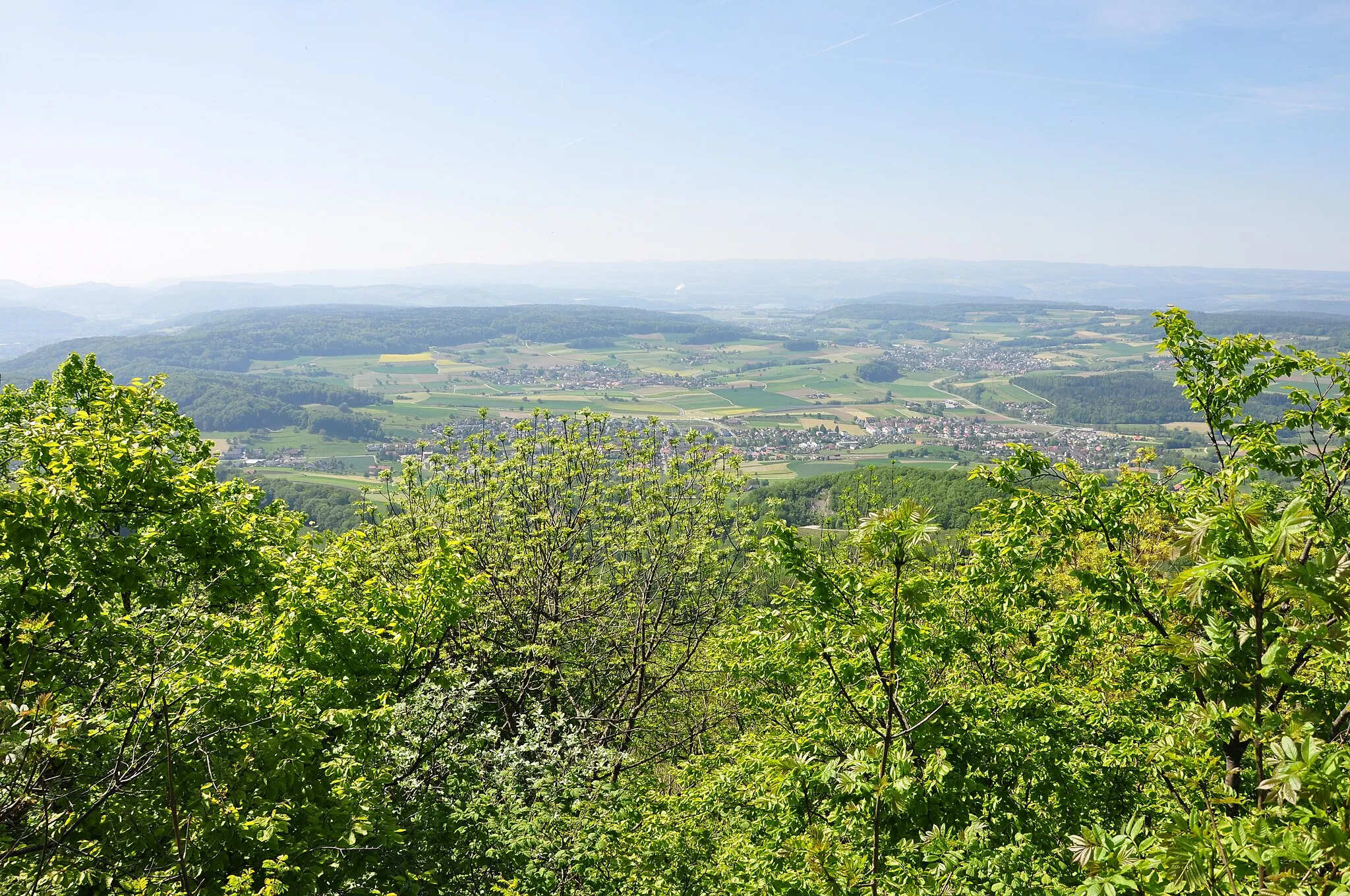
Bözbergpass569 mMountain PassConquer the famous Bözbergpass, renowned for its impressive scenery and challenging climb.
34 km
34 km
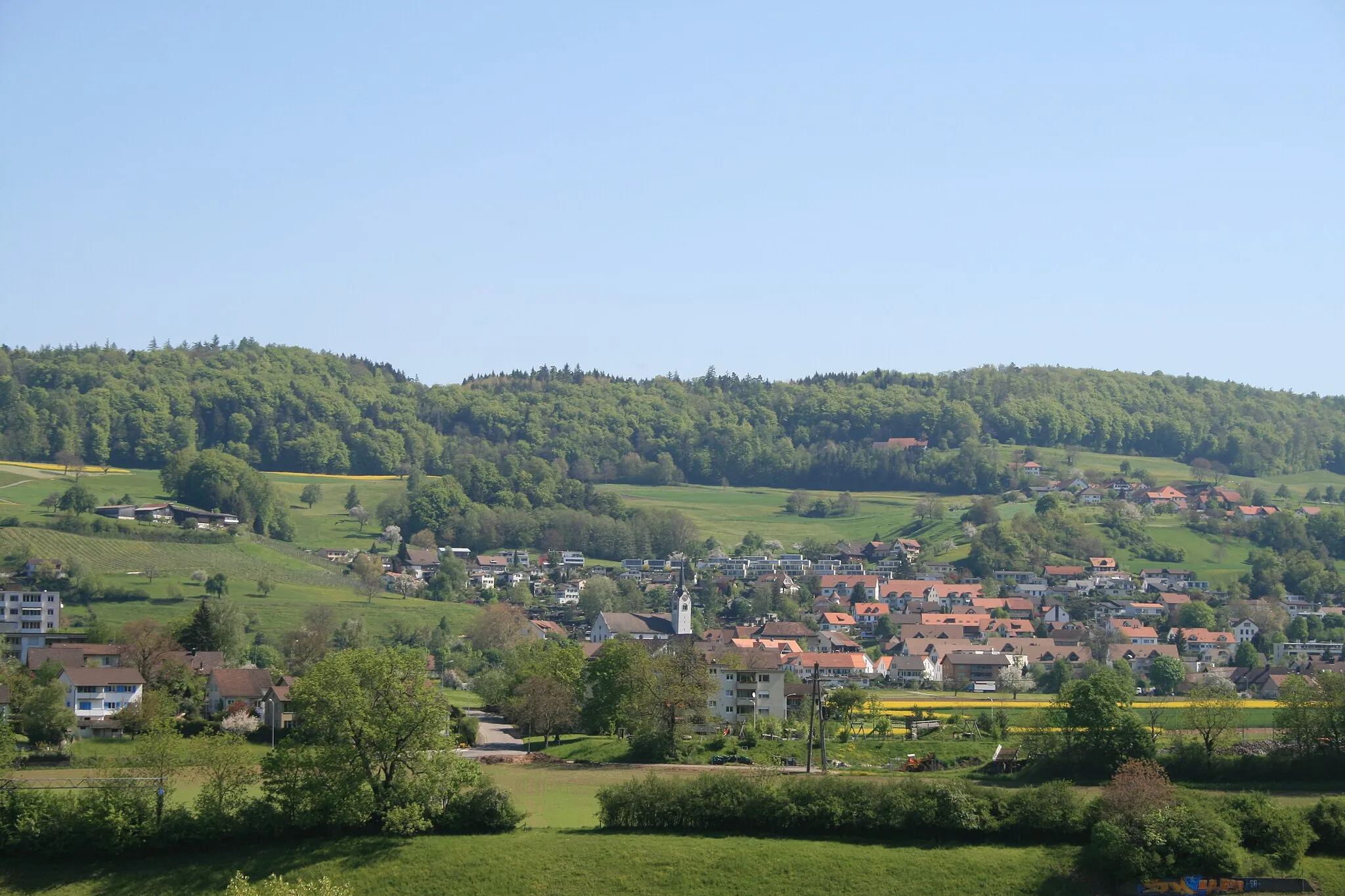
LaufenburgTownLaufenburg straddles both Switzerland and Germany, offering a unique cultural experience.
35 km
35 km
Hans-Thoma-BlickViewpointExperience stunning panoramic views from the Hans-Thoma-Blick lookout point.
42 km
42 km
Ruine WieladingenCastleDiscover the ruins of Wieladingen Castle, a testament to centuries of history.
64 km
64 km
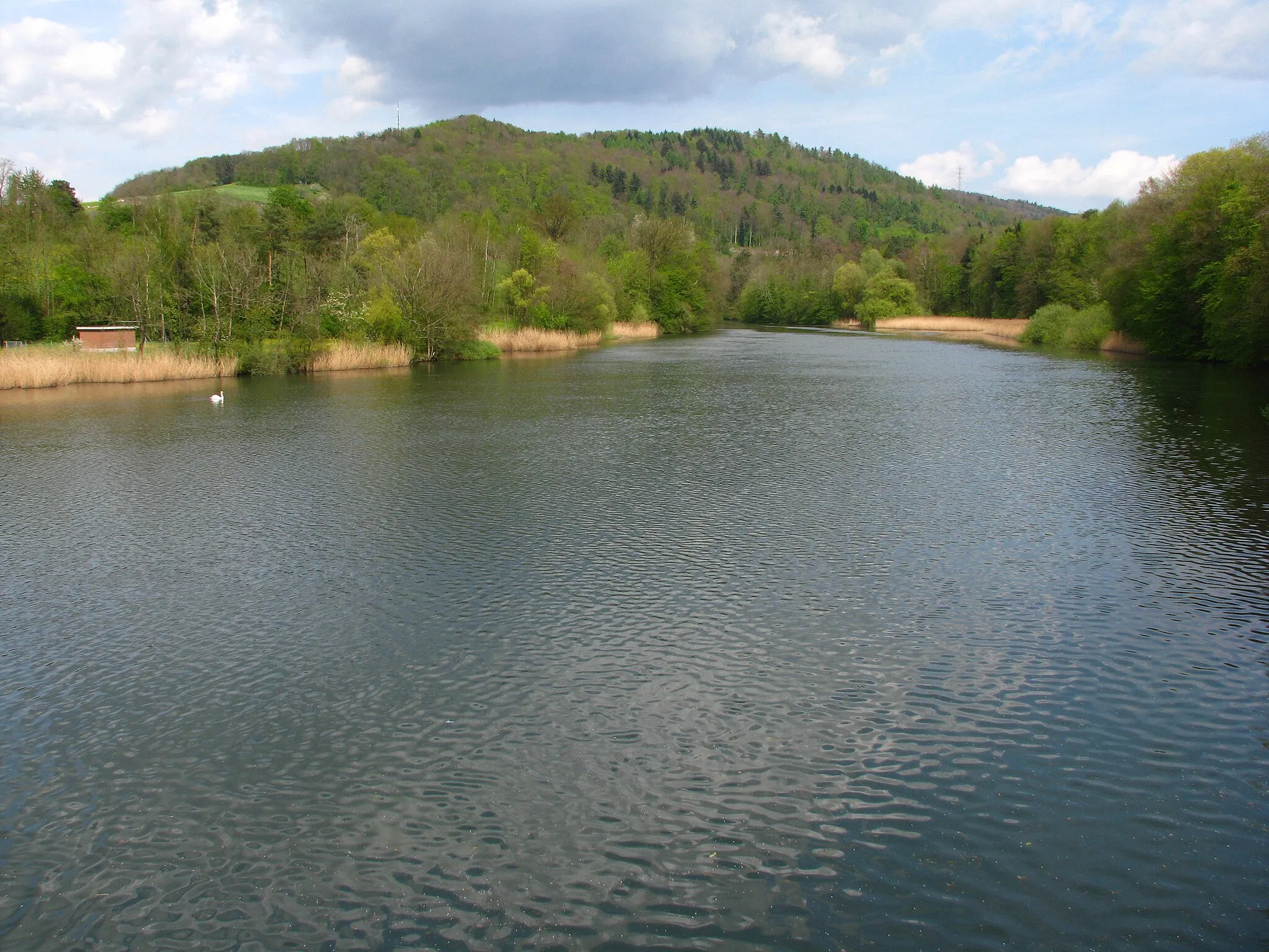
Krai-Woog-GumpenWaterfallKrai-Woog-Gumpen is a natural monument featuring several crystal-clear mountain lakes.
70 km
70 km
Dachsberg951 mPeakDachsberg offers magnificent vistas over the Swiss countryside and picturesque villages.
88 km
88 km
AlpensteinbockViewpoint91 km
91 km
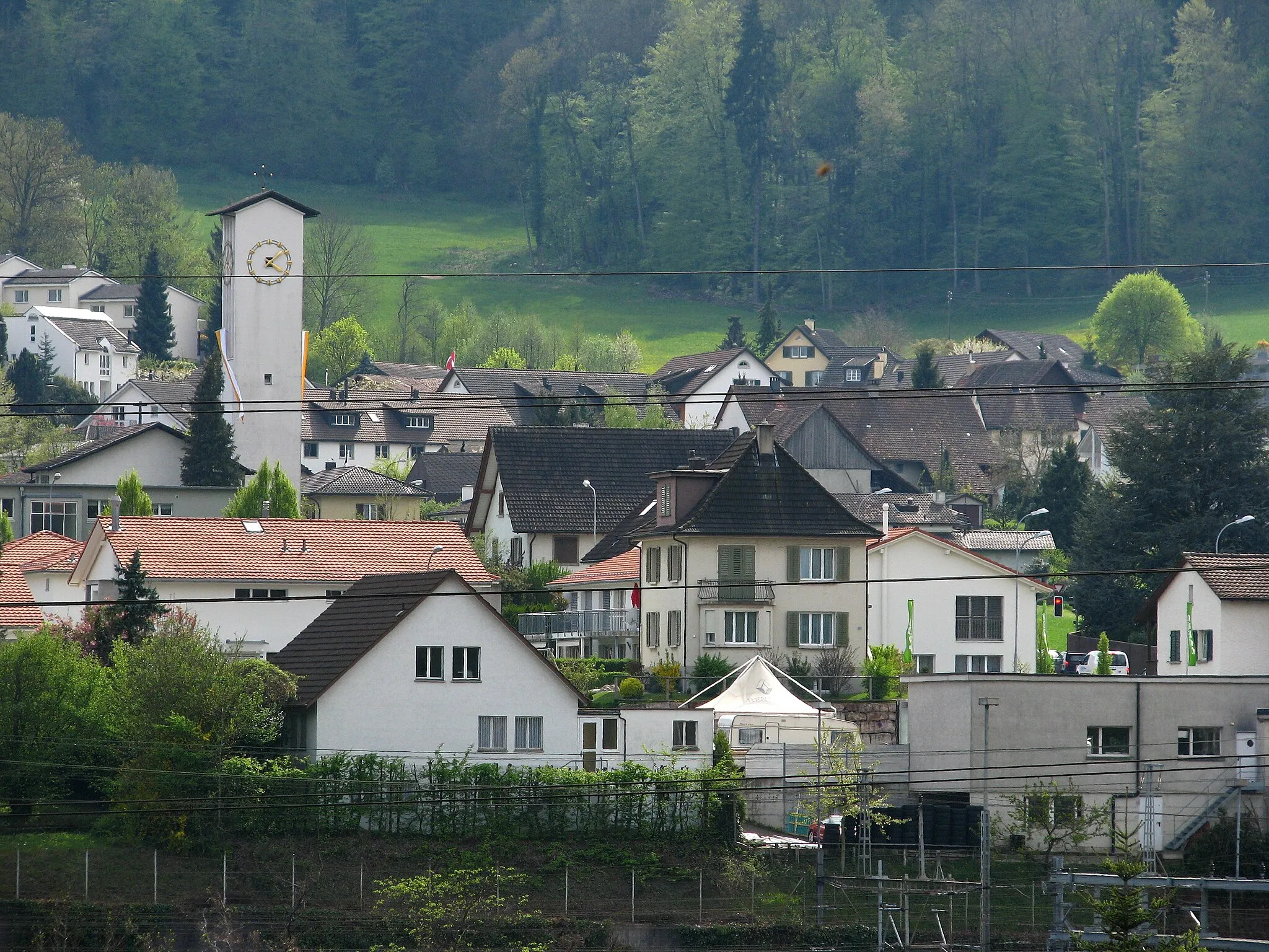
KoblenzVillageKoblenz is where the Aare meets the Rhine River, creating a stunning natural spectacle.
110 km
110 km
Martinsberg499 mPeakUncover the hidden beauty of Martinsberg and enjoy unparalleled views from the peak.
111 km
111 km
BadenTownStart your adventure in Baden, an architectural gem with numerous historical landmarks.
114 km
114 km
Finish: Wettingen City centerWettingen: Embark on a cycling adventure in scenic Wettingen.
Cycling routes nearby: