Bühler - Häuslersegg - Gaiserwald - Biotop - Niederhelfenschwil - Oberbüren - Gossau - Winkeln - Mühltobel
A gravel cycling route starting from Buhler
Embark on an exciting gravel journey through Häuslersegg, Gaiserwald, and Winkeln, and explore the beautiful Biotop and Mühltobel.
Map
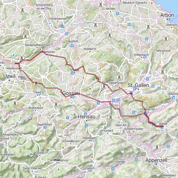
Discover the Ostschweiz region's natural wonders with this thrilling gravel cycling route near Bühler. Offering a total ascent of 1289 meters and covering a distance of 62 kilometers, this route is best suited for well-trained amateur gravel cyclists seeking an adventurous ride. The epicness factor of 3 ensures a memorable cycling experience without venturing into extremely challenging terrain. Along the way, you'll encounter stunning landscapes, quaint villages, and peaceful nature spots.
gravel
62 km
1289 m
Tough
Route profile
Highlights on the route
0 km
0 km
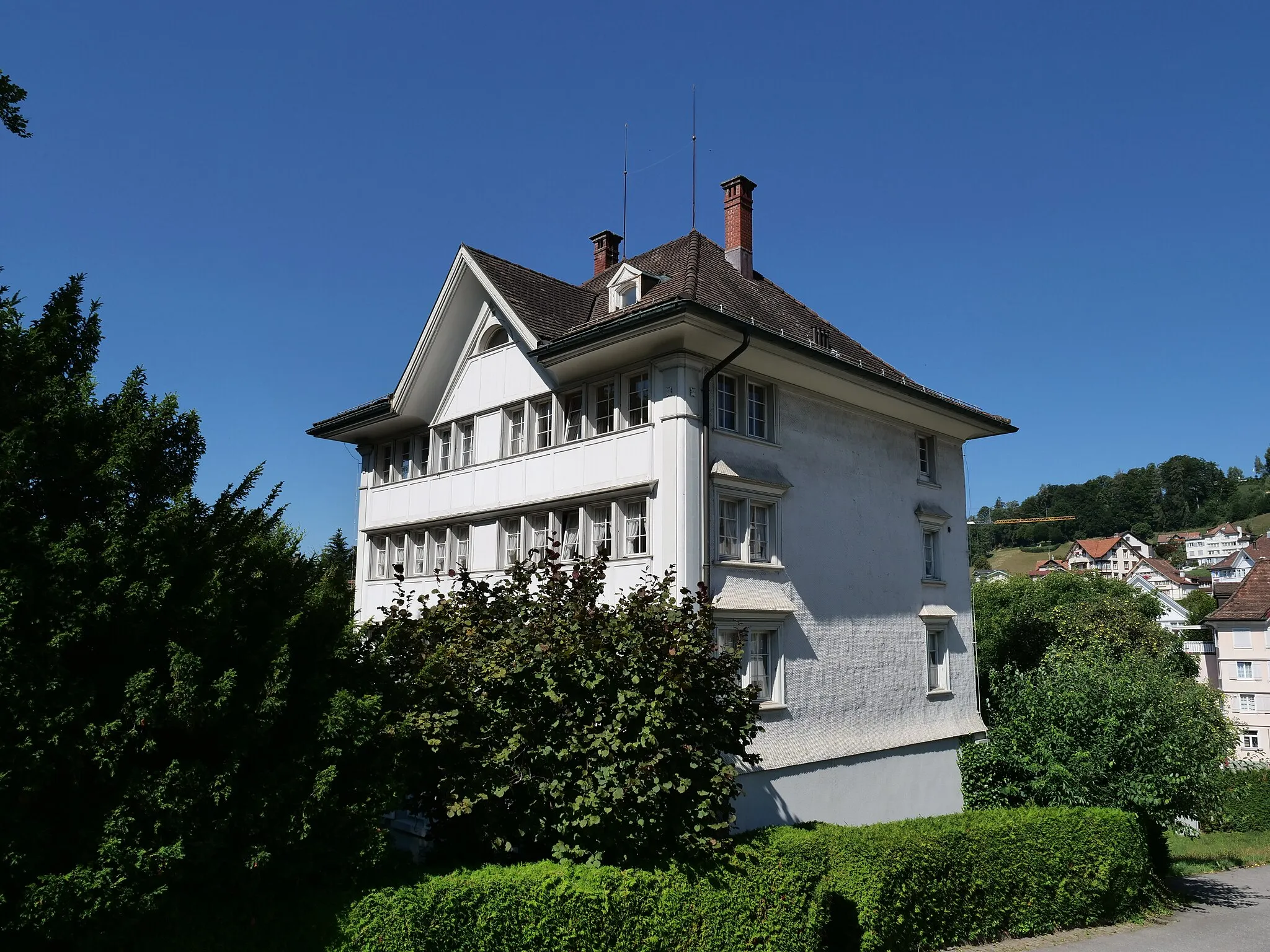
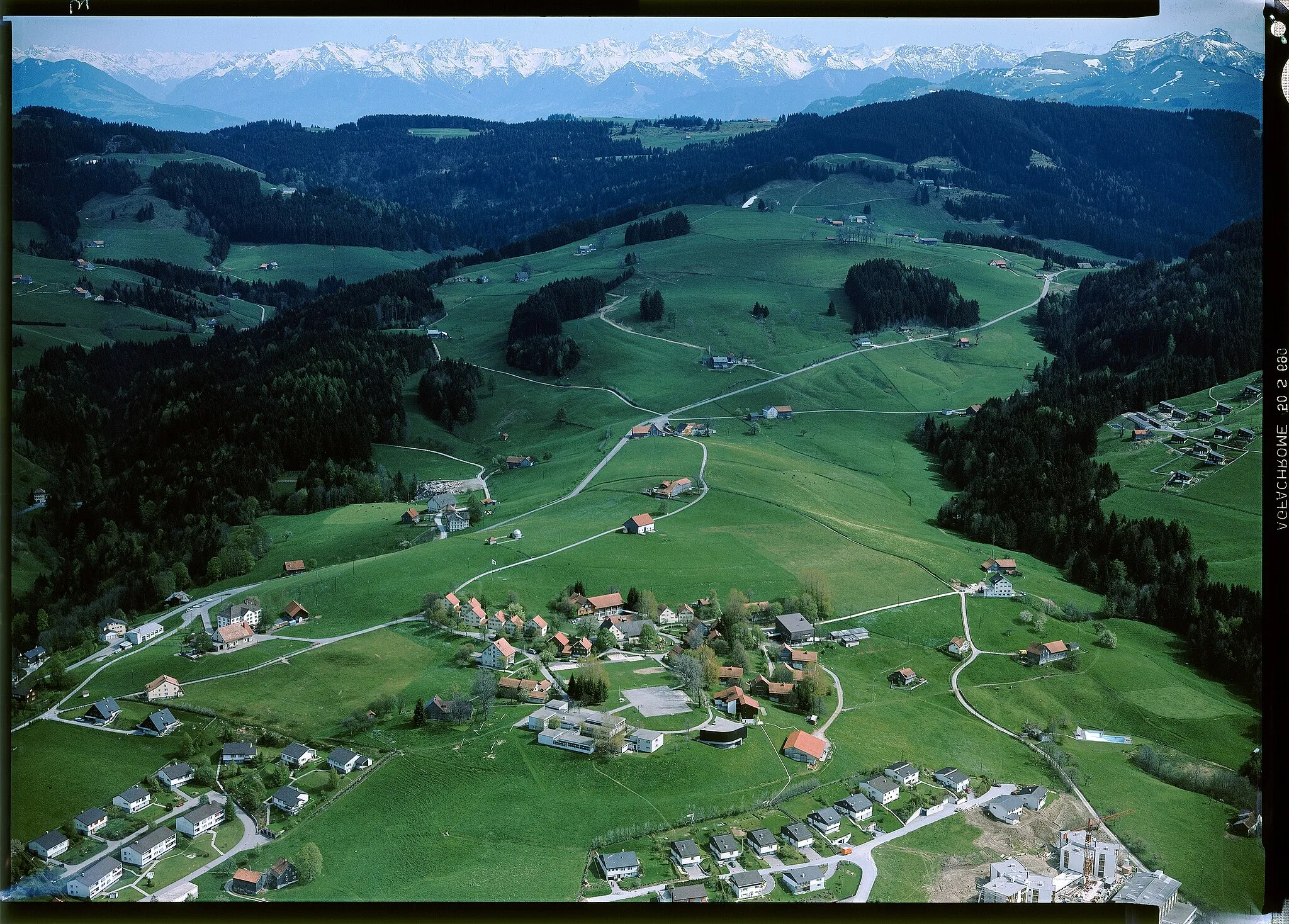
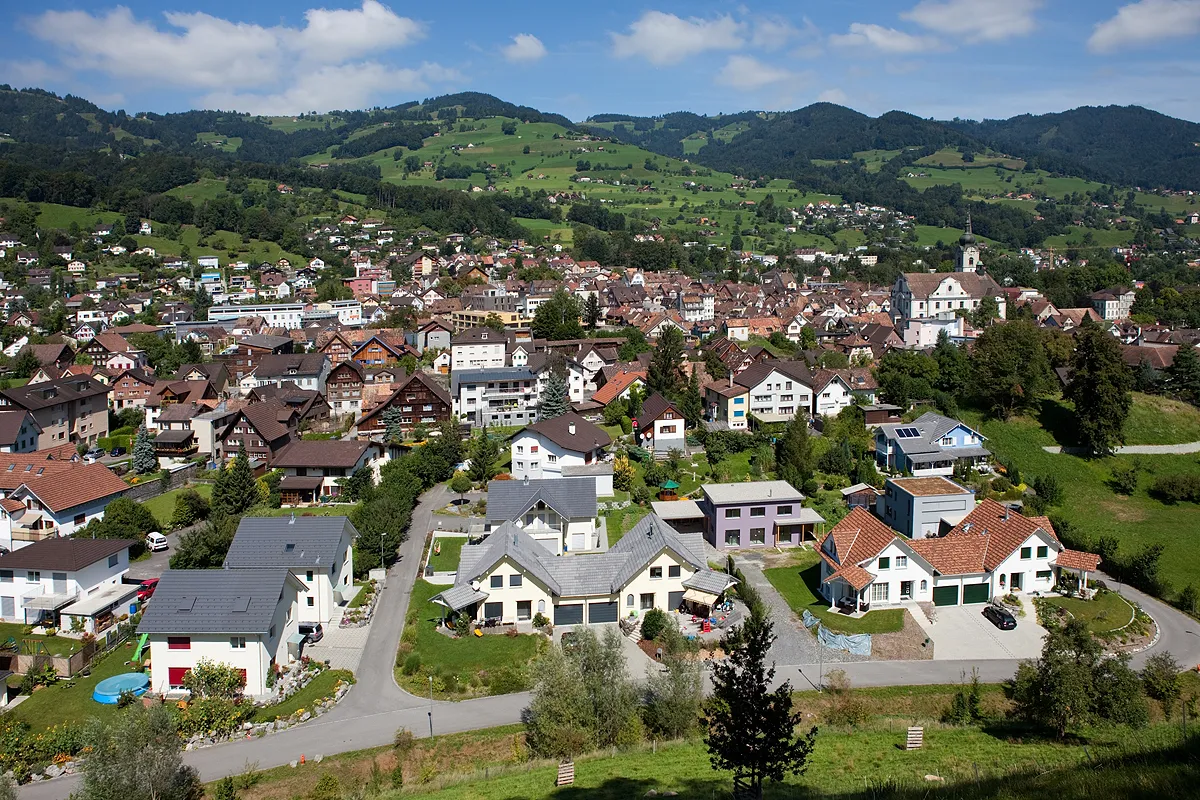
Start: Bühler Village centerBühler: Cycling Bliss in Bühler
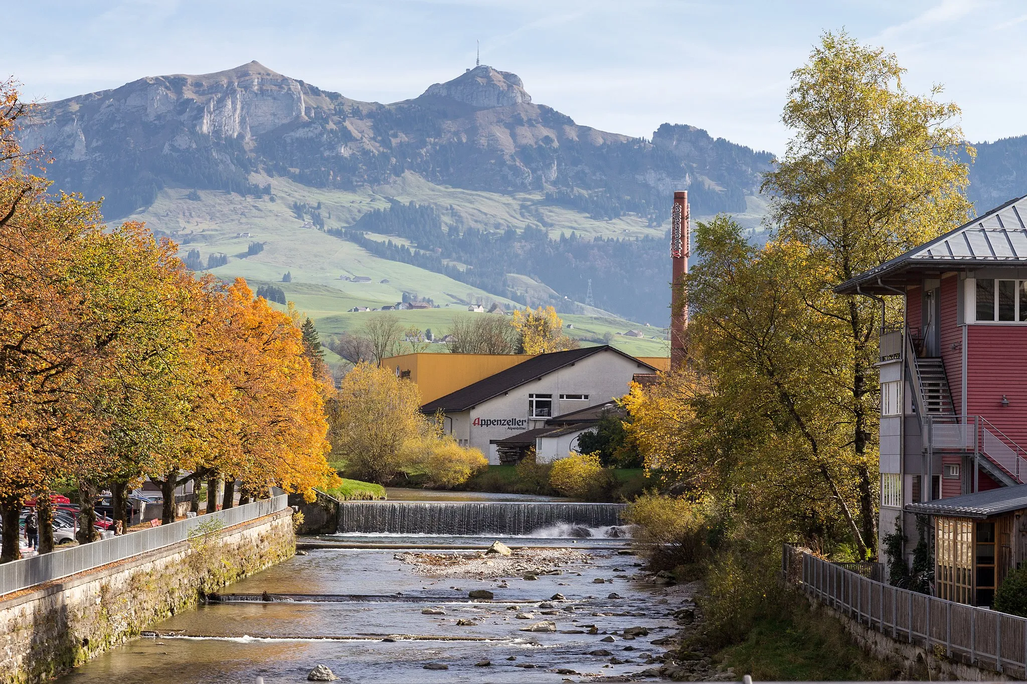
Bühler is a scenic locality located in the Ostschweiz region of Switzerland. From a cyclist's perspective, Bühler offers a wide choice of cycling routes, ranging from challenging mountain climbs to serene lakeside paths. The roads are well-maintained, and the landscapes are breathtaking, with majestic views of the Swiss Alps. Notable cycling spots near Bühler include the Appenzellpässe circuit and the Schwägalp climb. Whether you're a road cyclist or a gravel enthusiast, Bühler provides a cycling experience that combines natural beauty and adrenaline-inducing routes.4 km
4 km
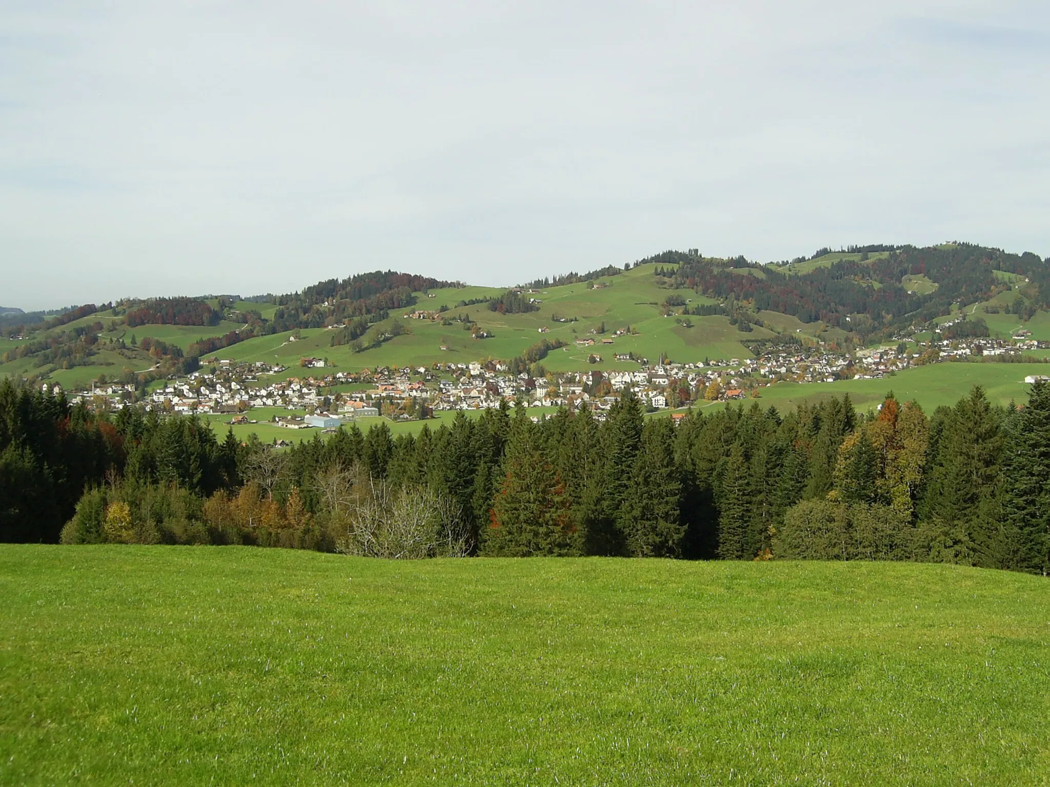
Häuslersegg1005 mMountain PassVisit the enchanting Häuslersegg and enjoy the idyllic scenery of charming farmhouses surrounded by green meadows.
12 km
12 km
GaiserwaldVillageCruise through Gaiserwald and immerse yourself in its picturesque landscapes and lush meadows.
17 km
17 km
BiotopViewpointEnrich your journey with a visit to the Biotop, a nature reserve teeming with diverse wildlife and pristine ecosystems.
28 km
28 km
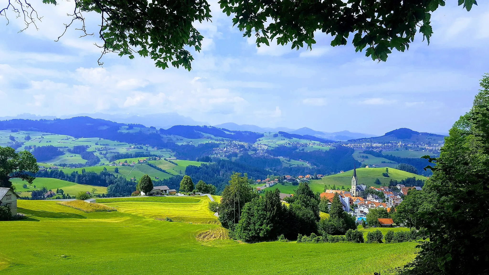
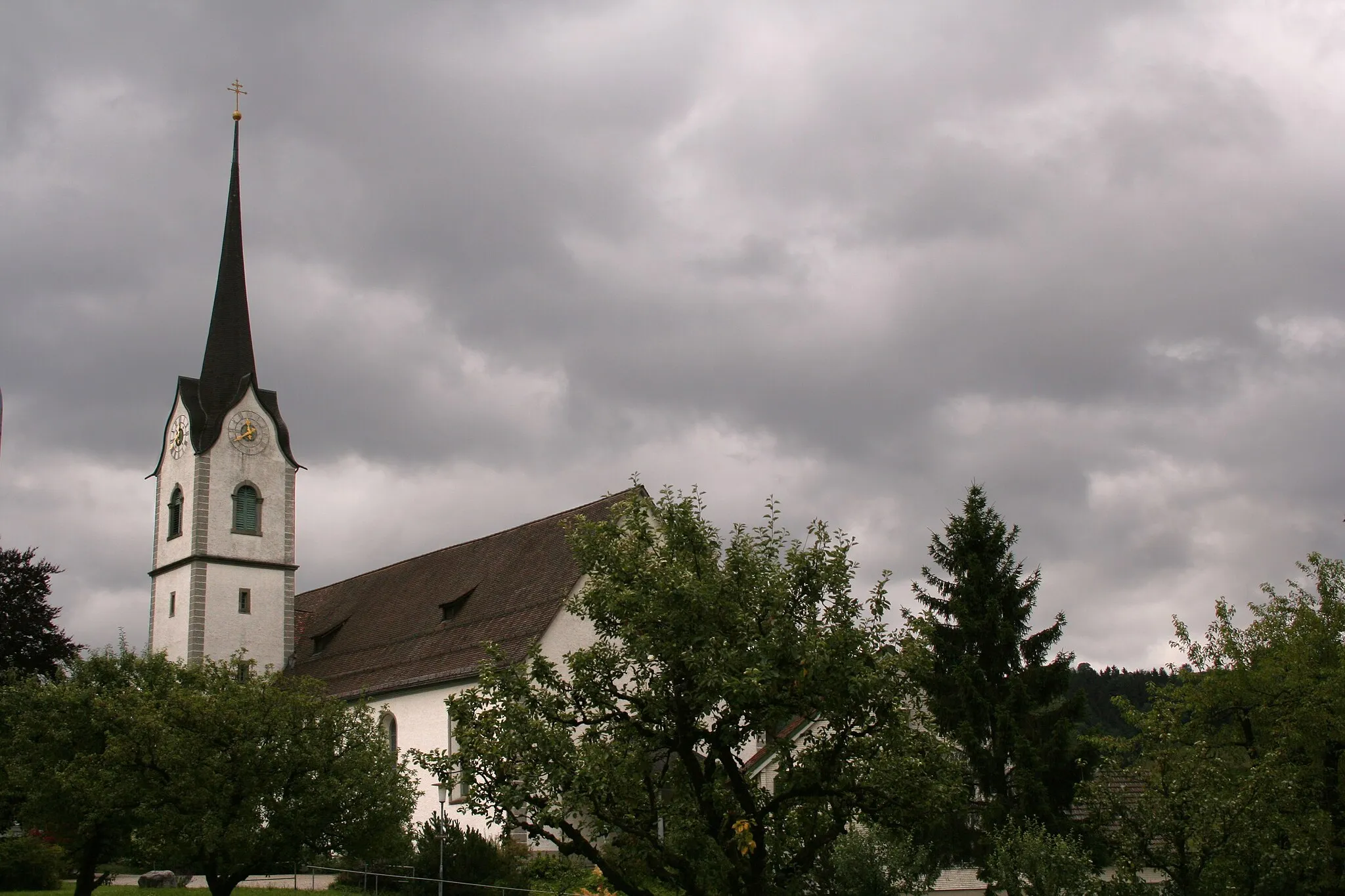
NiederhelfenschwilVillageAppreciate the tranquil beauty of Niederhelfenschwil and enjoy the peaceful atmosphere of this quaint village.
35 km
35 km
OberbürenSub-urbRide through Oberbüren and appreciate its charming blend of historical buildings and scenic open spaces.
44 km
44 km
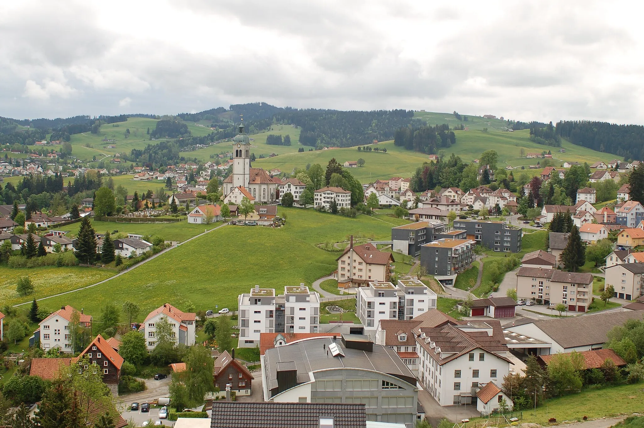
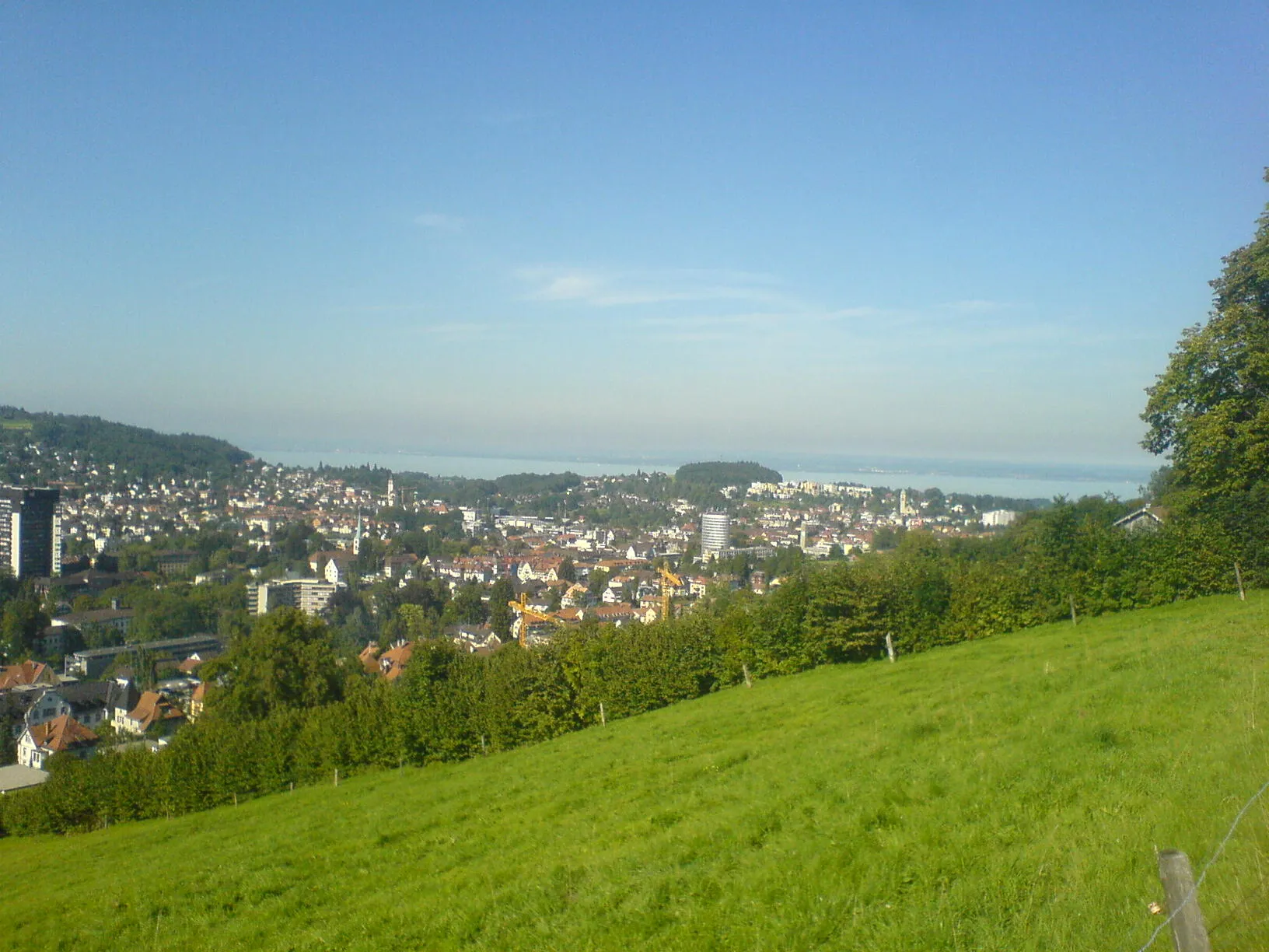
GossauTownPass through Gossau and be captivated by its historic charm and vibrant cultural scene.
49 km
49 km
WinkelnSub-urbExplore the picturesque village of Winkeln and take in the breathtaking views of the surrounding countryside.
55 km
55 km
MühltobelHamletEnjoy a peaceful break in the serene beauty of Mühltobel, a hidden gem located amidst tranquil nature.
62 km
62 km
Finish: Bühler Village centerBühler: Cycling Bliss in Bühler
Cycling routes from Buhler:
The Reservoir View - Road Cycling Route The Thur Valley Exploration - Road Cycling Route The Gravel Adventure - Gravel Cycling Route The Scenic Escape - Road Cycling Route The Mountain Challenge - Gravel Cycling Route Bühler - Abtwil SG - Waldkirch - Almensberg - Arbon - Lake Constance Viewpoint - Speicher - Hohe Buche - Feuerstelle Rämsen Bühler - Teufen AR - Berg SG - Kybun Tower - Wittenbach - Lokremise - Egg Eastern Switzerland Loop Bühler - Häuslersegg - Gaiserwald - Biotop - Niederhelfenschwil - Oberbüren - Gossau - Winkeln - Mühltobel Bühler - Winkeln - Waldkirch - St. Gallen - Teufen AR Eastern Swiss Road Cycling Adventure Touring Ostschweiz by Road Bike Challenging Mountain Loop in Ostschweiz
Cycling routes nearby: