Oberriet Road Cycling Route
A road cycling route starting from Oberriet
Explore the stunning views of Eichberg, Gäbris, and Rorschach on this challenging road cycling route near Oberriet.
Map
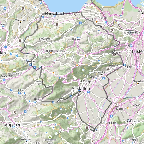
This road cycling route near Oberriet offers breathtaking views of Eichberg and Gäbris mountains. With a total ascent of 1504 meters over a distance of 73 kilometers, it is a challenging ride for well-trained amateurs. The route leads through picturesque villages and provides ample opportunities to enjoy the scenic landscapes of Ostschweiz. From the Aussichtsplattform and Rebhüttli, you can gaze upon the impressive vistas of the region. The overall difficulty of this route is rated as a 3, making it suitable for experienced cyclists seeking a scenic challenge.
road
73 km
1504 m
Tough
Route profile
Highlights on the route
0 km
0 km
Start: Oberriet Village centerOberriet: Cycling Haven in Ostschweiz: Oberriet
Oberriet, located in Switzerland's Ostschweiz region, offers a mix of challenging climbs and scenic routes for road and gravel cyclists. Cyclists can explore the beautiful countryside and enjoy breathtaking views of the surrounding mountains. The locality is home to well-known climbs such as the Ricken and St. Anton, making it a popular destination for cyclists looking for a challenge. In terms of tourism, Oberriet offers various outdoor activities, including hiking and mountaineering. It is considered a great cycling-friendly area, with a rank of 4.4 km
4 km
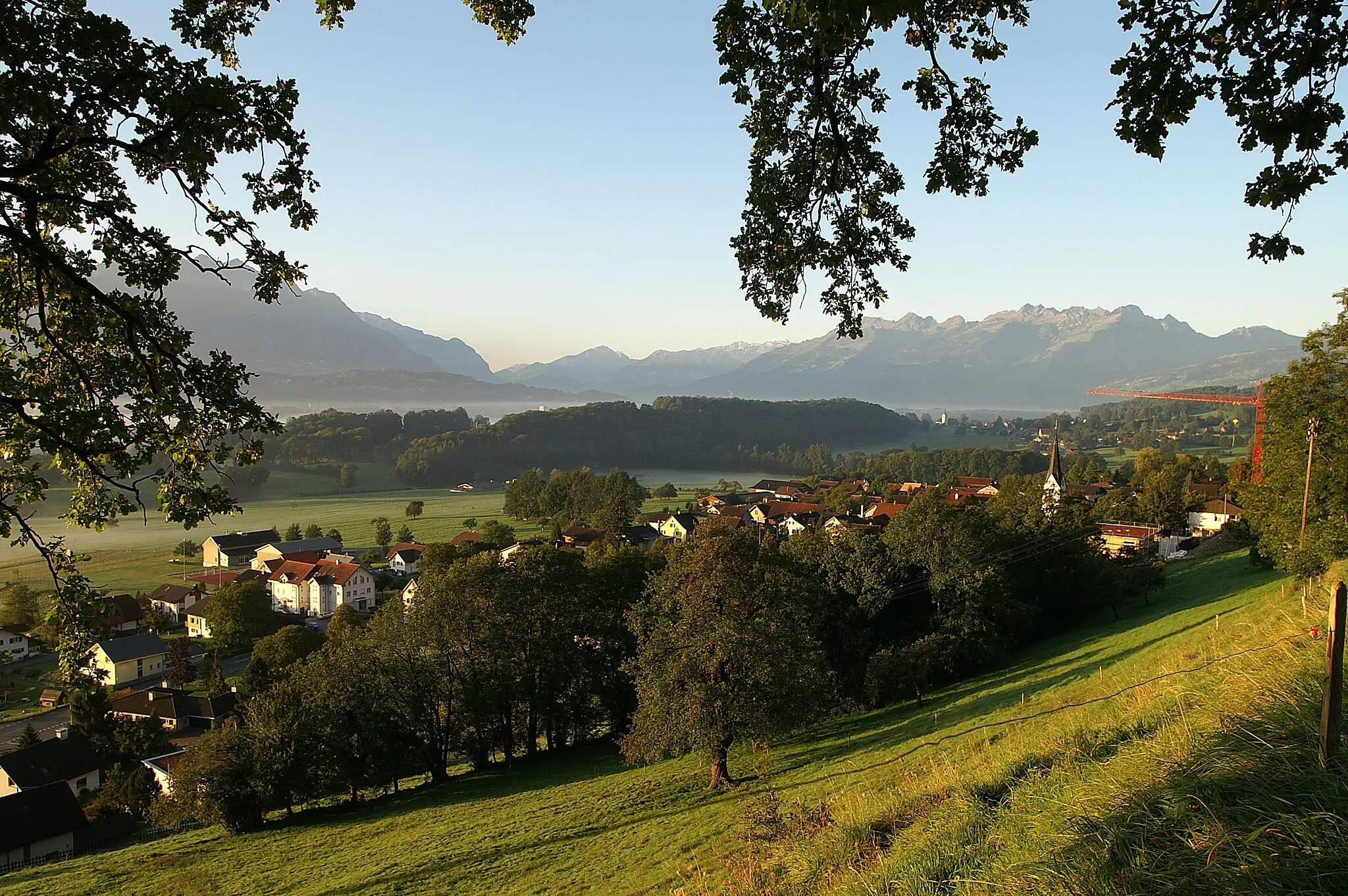
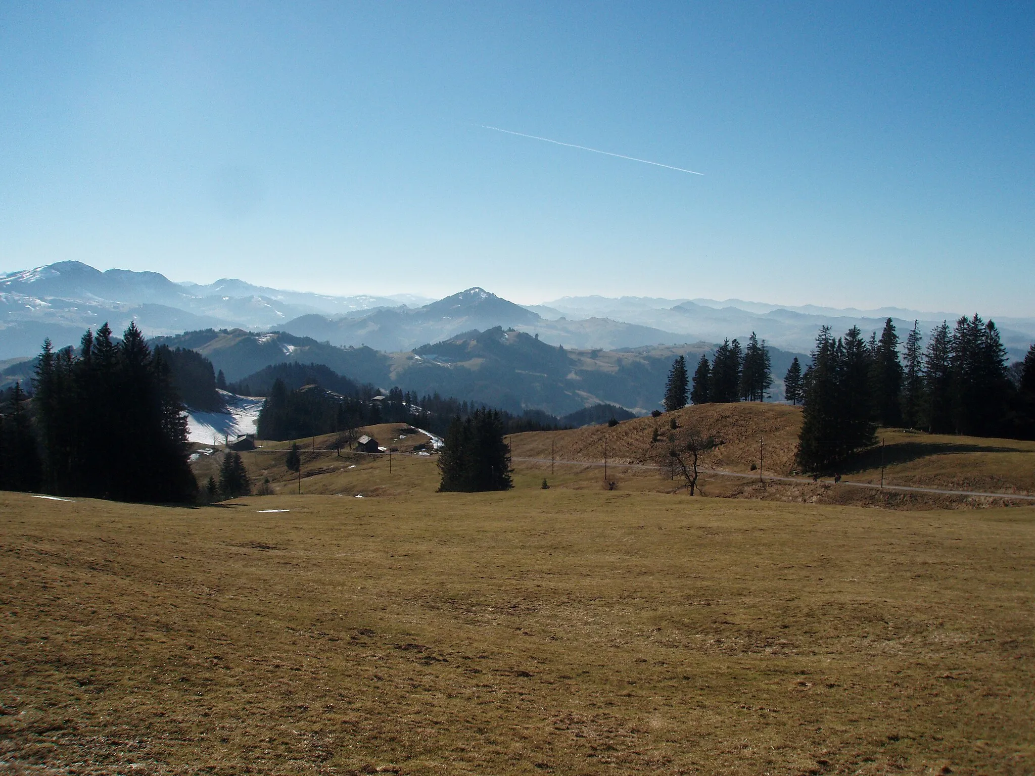
EichbergVillageEichberg offers panoramic views of the surrounding mountains and countryside.
12 km
12 km
Stoss943 mMountain PassThe summit of Stoss provides stunning 360-degree views.
19 km
19 km
Gäbris1250 mPeakGäbris is a challenging climb with rewarding views of the Rhine Valley.
26 km
26 km
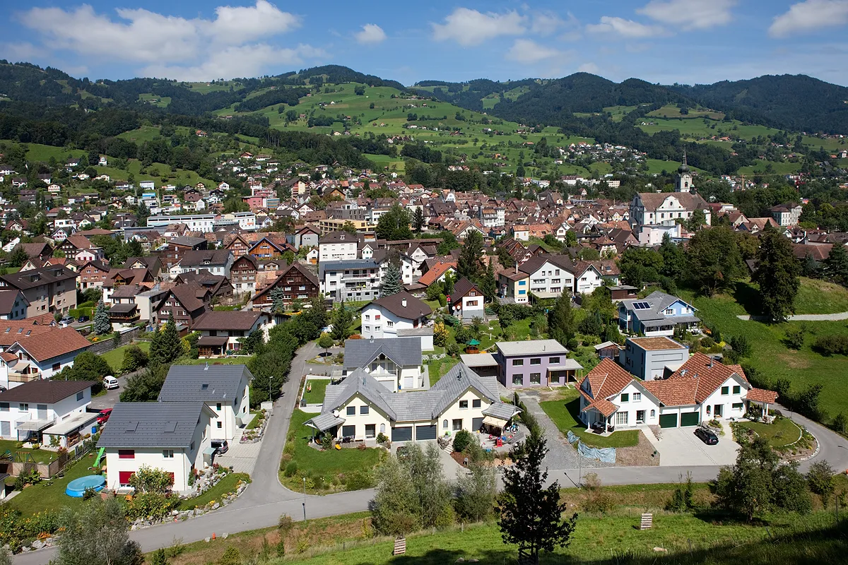
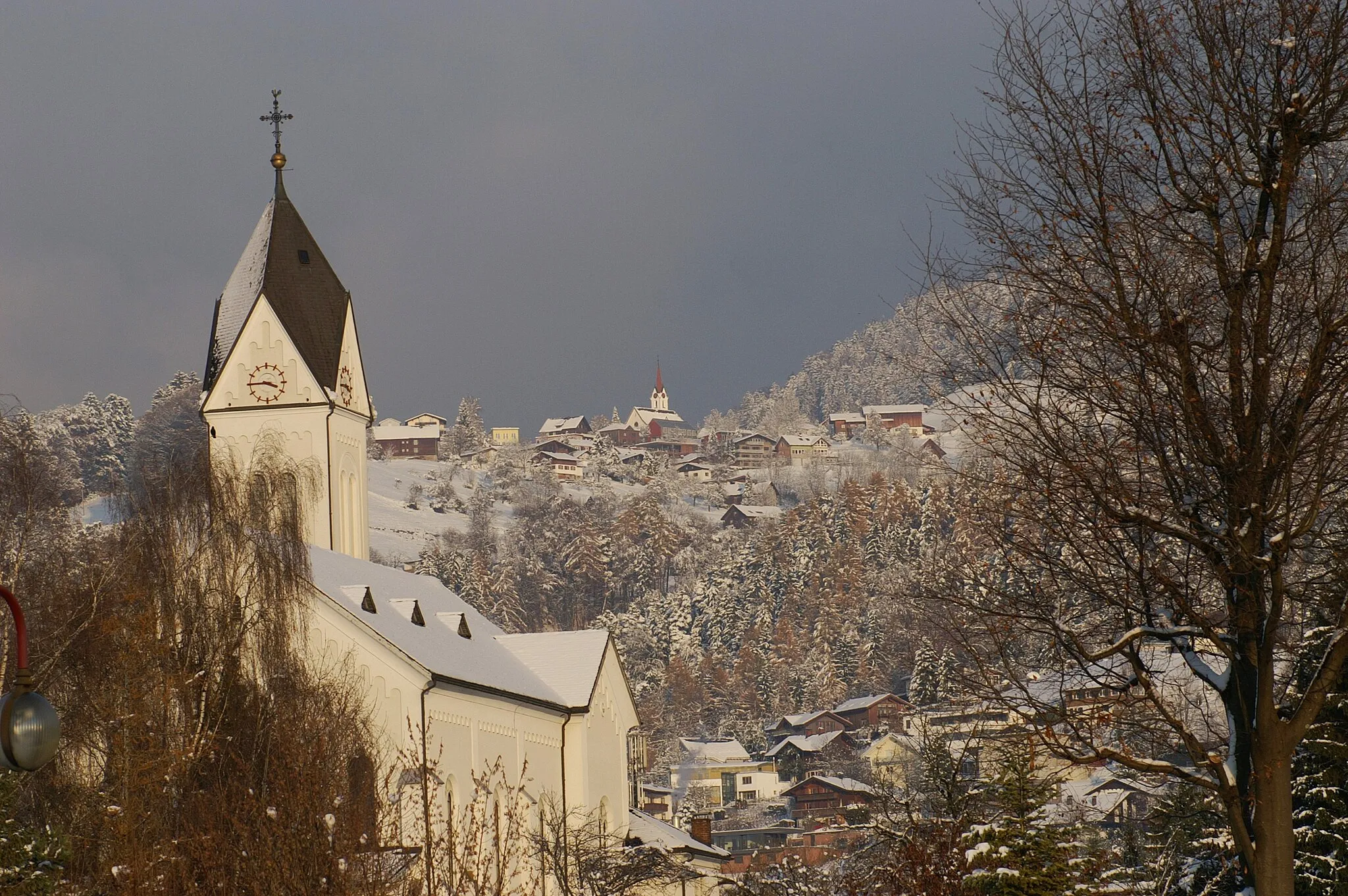
SpeicherVillageSpeicher is a charming village located by Lake Constance.
40 km
40 km
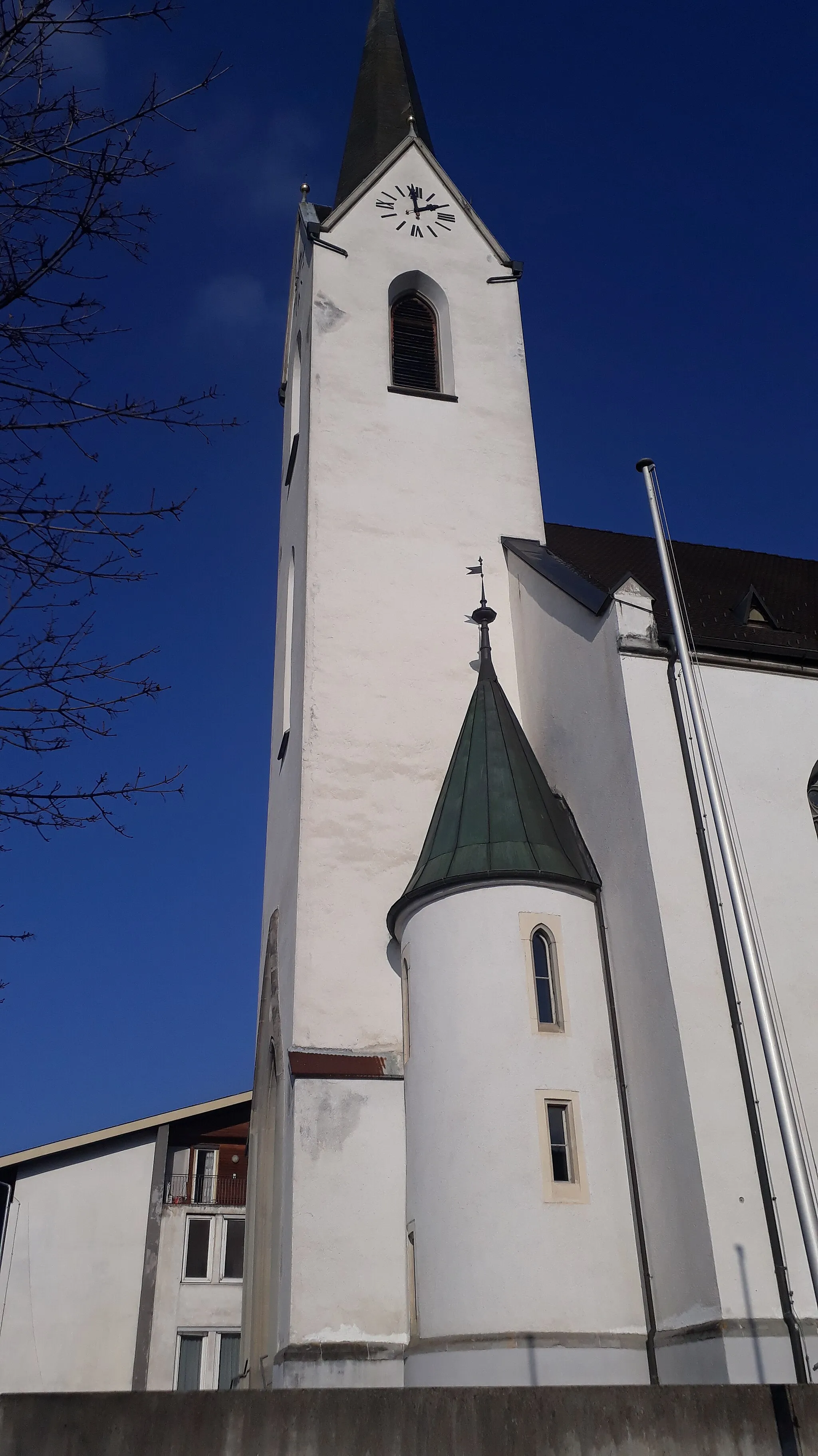
RorschachTownRorschach is a lakeside town known for its beautiful beaches and vibrant promenade.
46 km
46 km
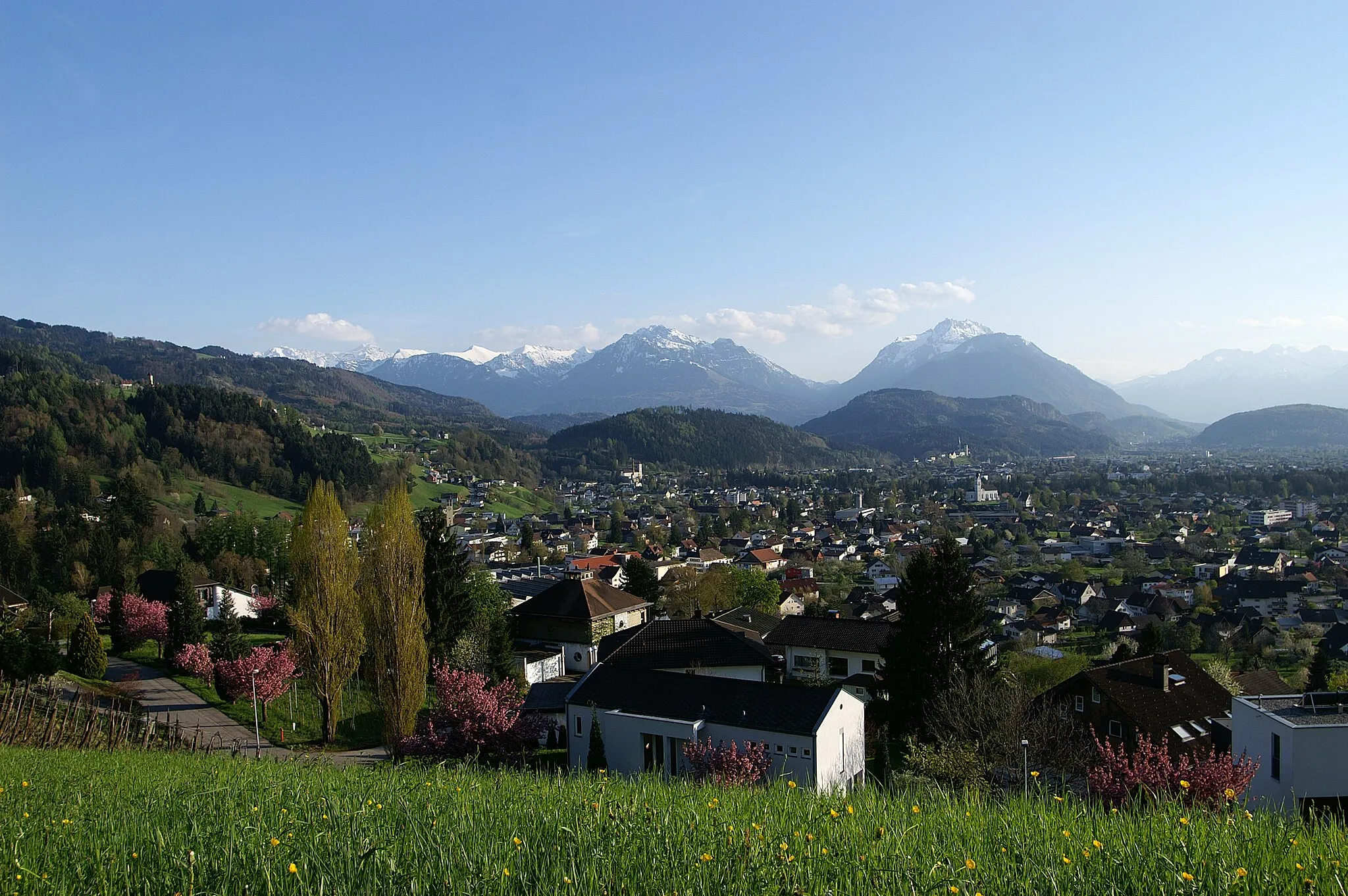
AussichtsplattformViewpointThe Aussichtsplattform offers spectacular views of the Rhine Valley and Lake Constance.
56 km
56 km
BerneckVillageBerneck is a quaint village with a picturesque old town.
59 km
59 km
RebhüttliViewpointRebhüttli is a scenic spot with a charming mountain hut.
73 km
73 km
OberrietVillageOberriet is the starting and ending point of this thrilling cycling route.
73 km
73 km
Finish: Oberriet Village centerOberriet: Cycling Haven in Ostschweiz: Oberriet
Cycling routes nearby: