The Road to Uznach
A road cycling route starting from Oberurnen
A scenic road route with historical highlights
Map
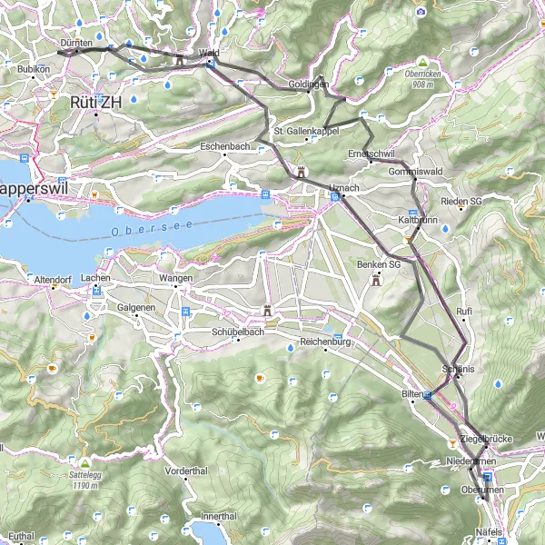
This road cycling route takes you through picturesque countryside and charming villages, with a total ascent of 956 meters. Enjoy the serene beauty of Biberlichopf, a small hill known for its floral meadows and panoramic views. Kaltbrunn, a historic market town, is another noteworthy stop along the way. The charming village of Uznach awaits at the end of the route, with its well-preserved medieval architecture and bustling market square. This route is suitable for intermediate cyclists who are looking to combine a scenic ride with interesting cultural highlights.
road
72 km
956 m
Tough
Route profile
Highlights on the route
0 km
0 km
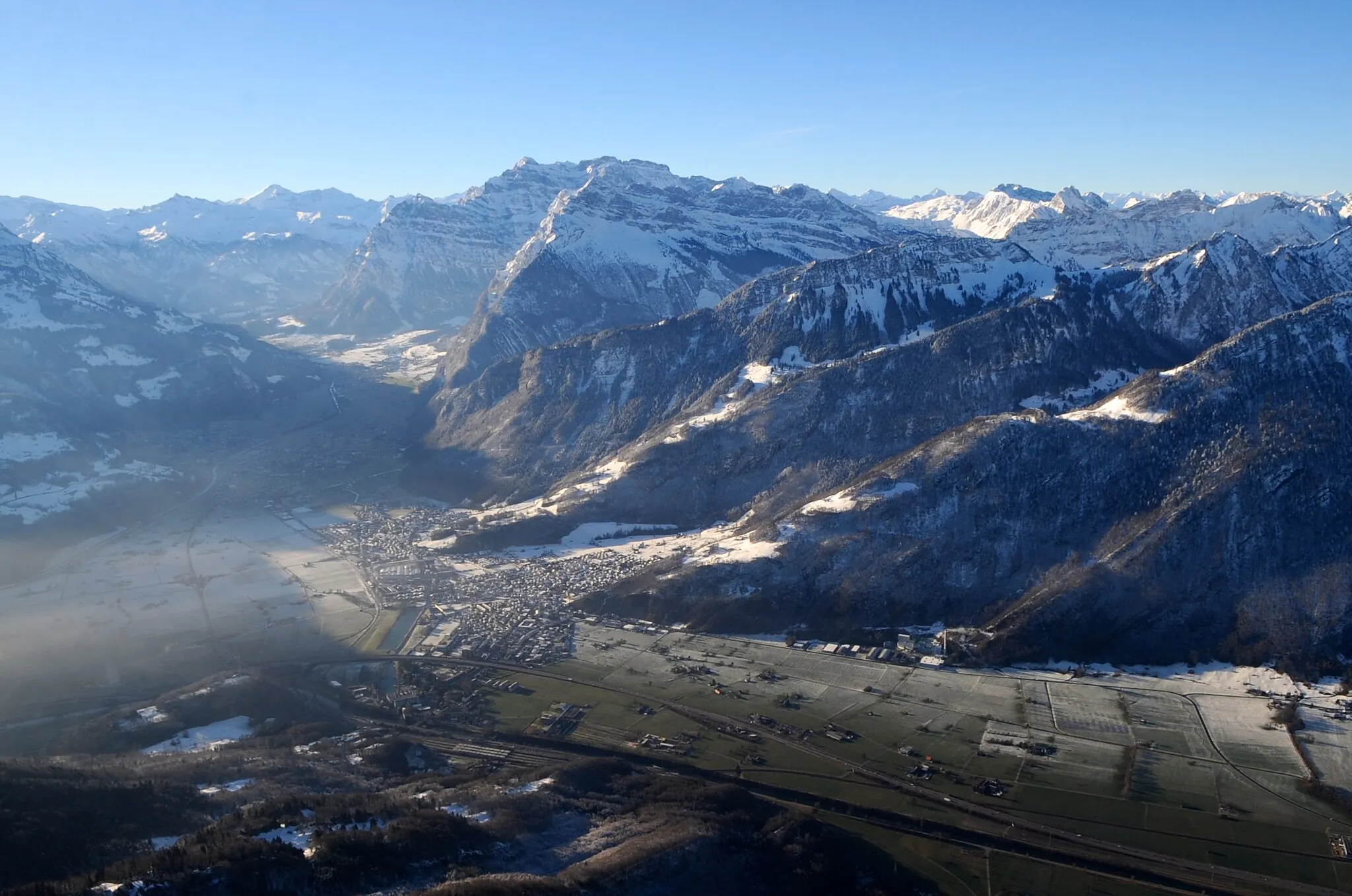
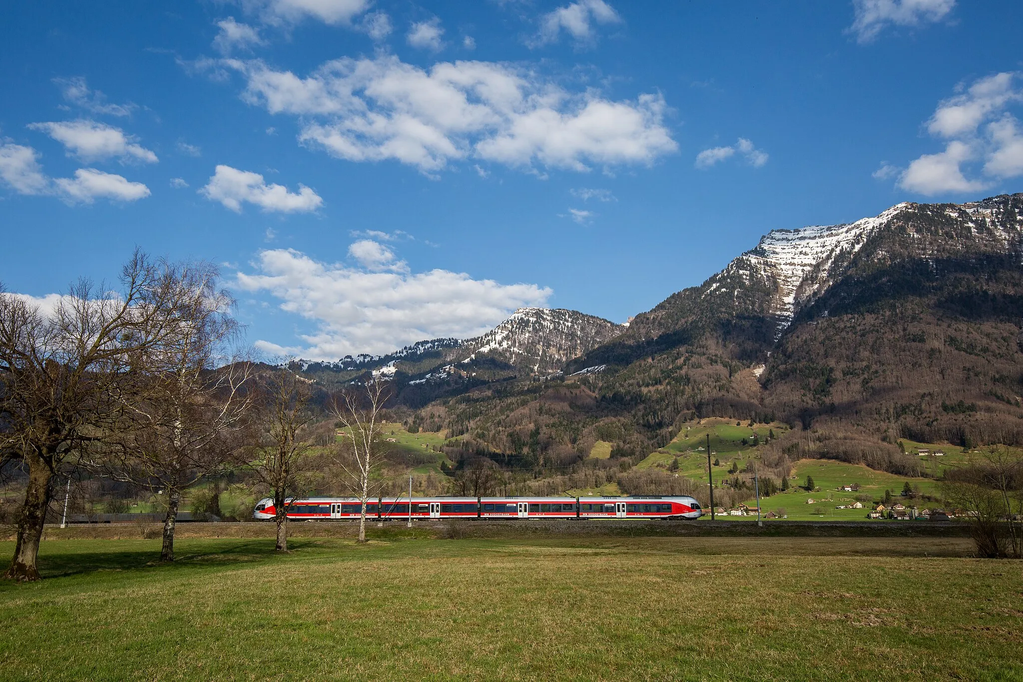
Start: Oberurnen Village centerOberurnen: Discover the beauty of Oberurnen's cycling routes nestled amidst breathtaking mountains and lakes.
Oberurnen, situated in Ostschweiz, Switzerland, offers cyclists a memorable experience with its impressive cycling routes and breathtaking scenery. The region is surrounded by majestic mountains and picturesque lakes, providing a stunning backdrop for road and gravel cycling enthusiasts. Cyclists can tackle some challenging climbs nearby, including the famous climb that draws cycling enthusiasts from around the world. The local community embraces cycling tourism, providing cyclists with an excellent infrastructure and services tailored to their needs. With its blend of challenging terrain and extraordinary beauty, Oberurnen is a must-visit destination for avid cyclists.2 km
2 km
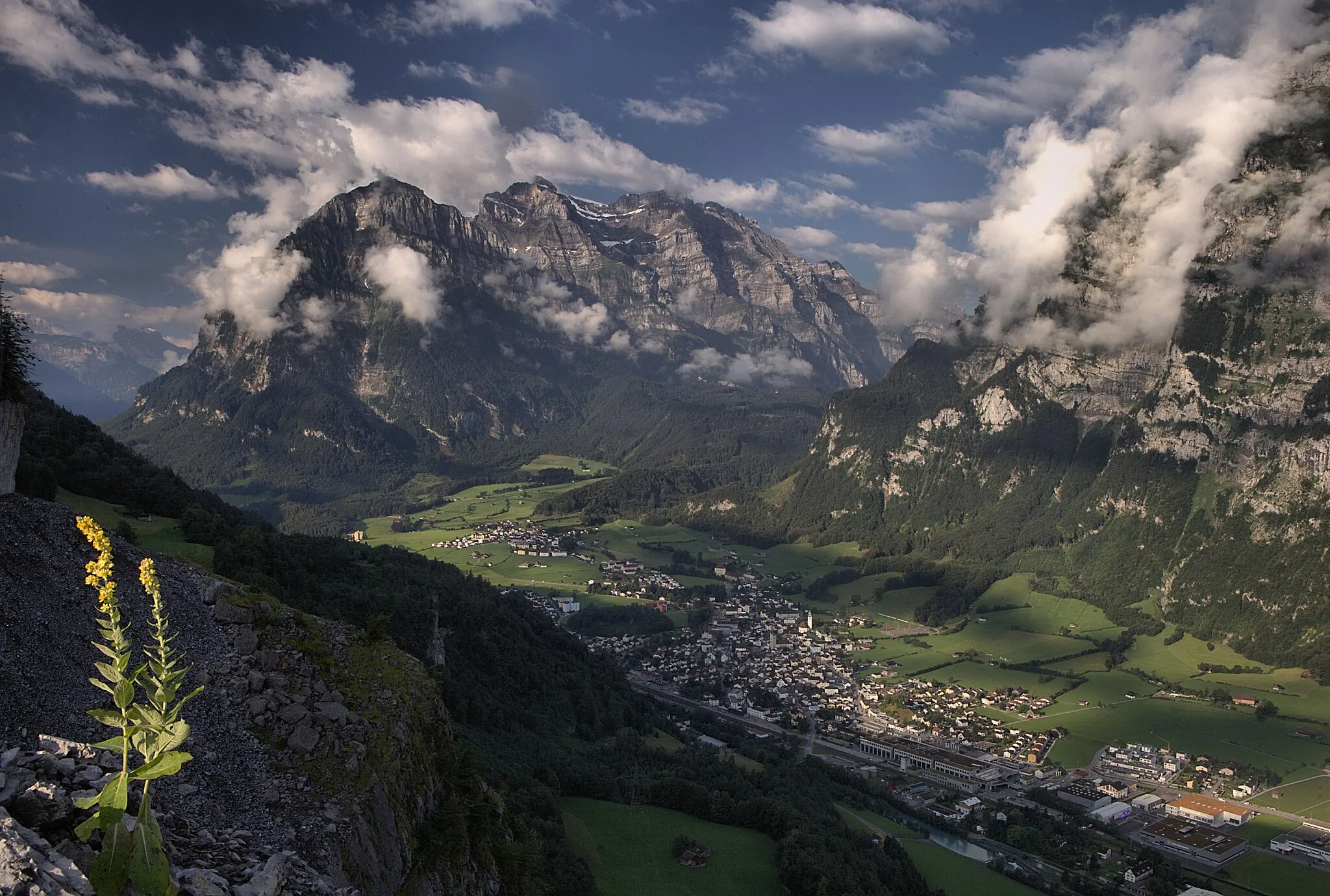
Biberlichopf566 mPeakBiberlichopf is a small hill with vibrant meadows and stunning panoramic views of the surrounding landscapes.
13 km
13 km
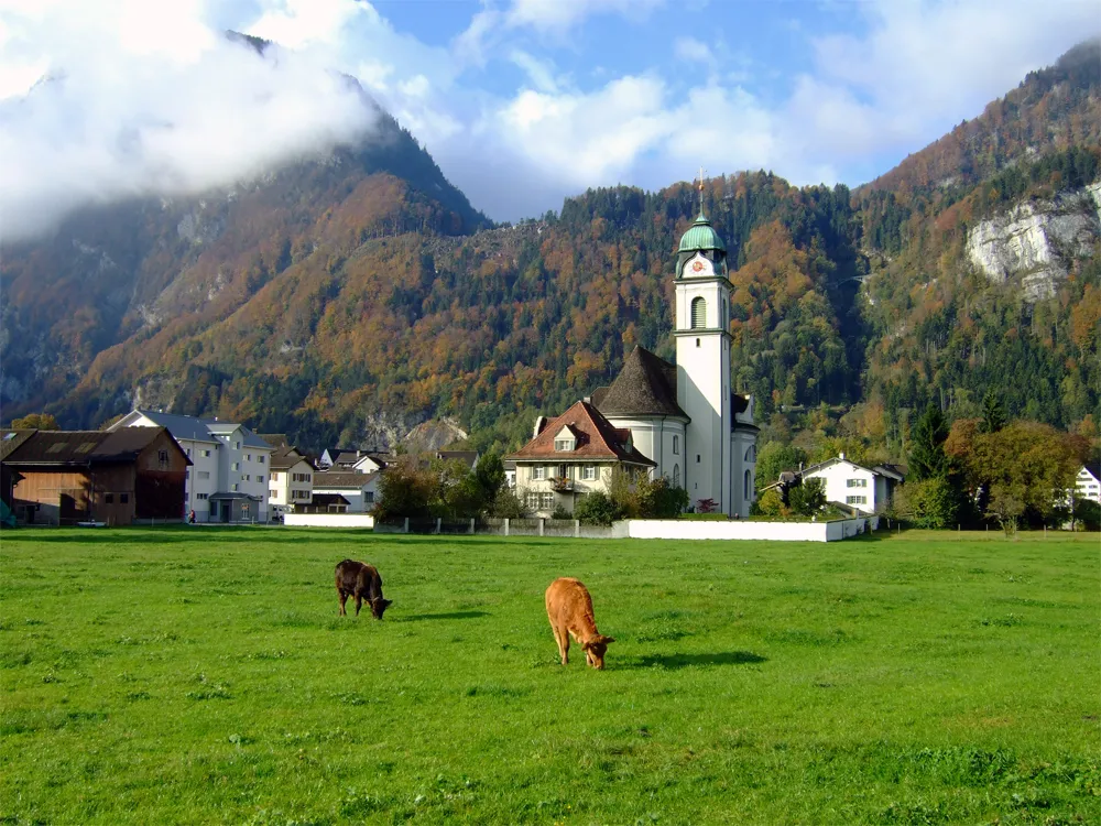
KaltbrunnVillageKaltbrunn is a historic market town with well-preserved buildings and a charming atmosphere.
32 km
32 km
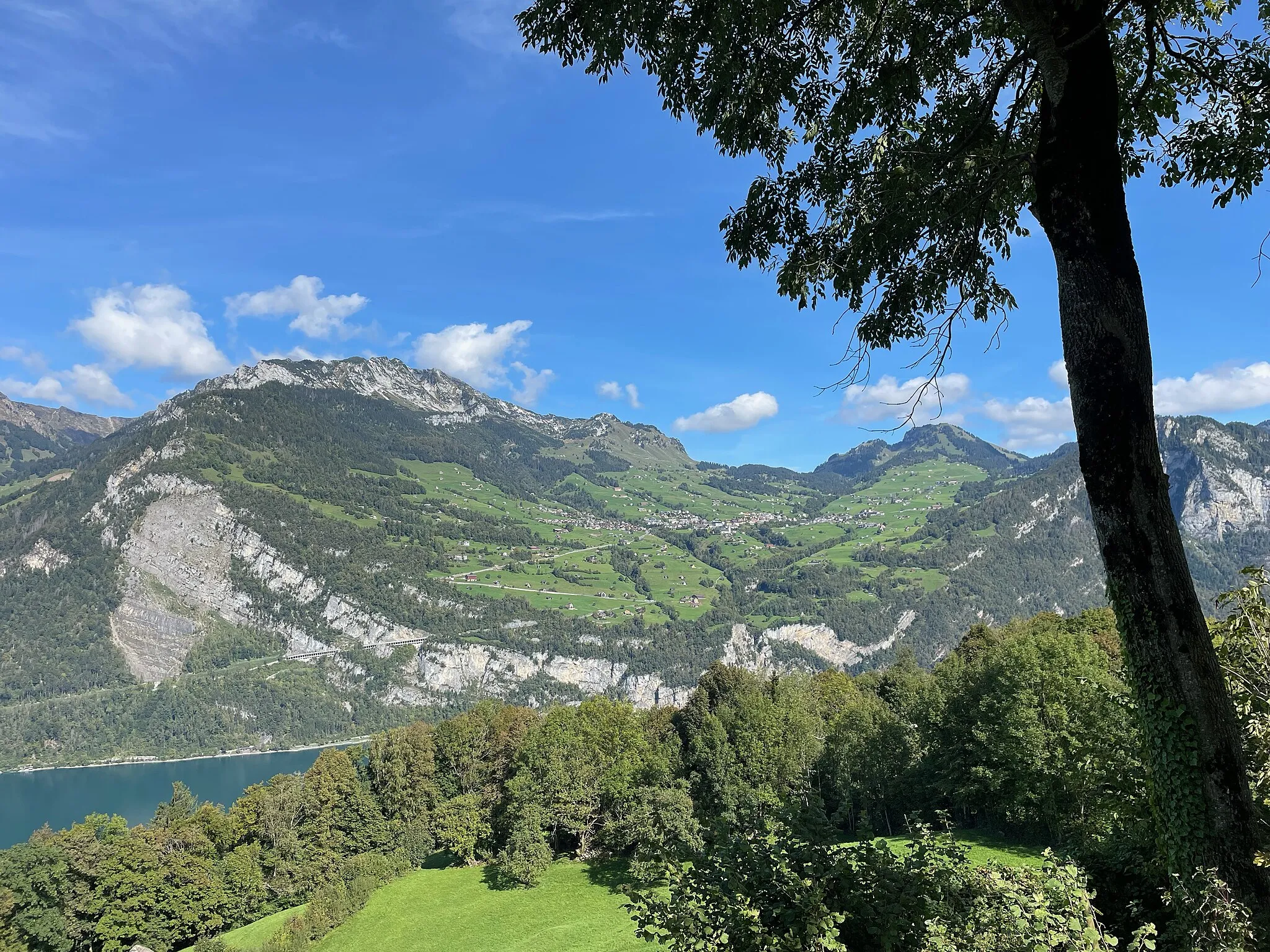
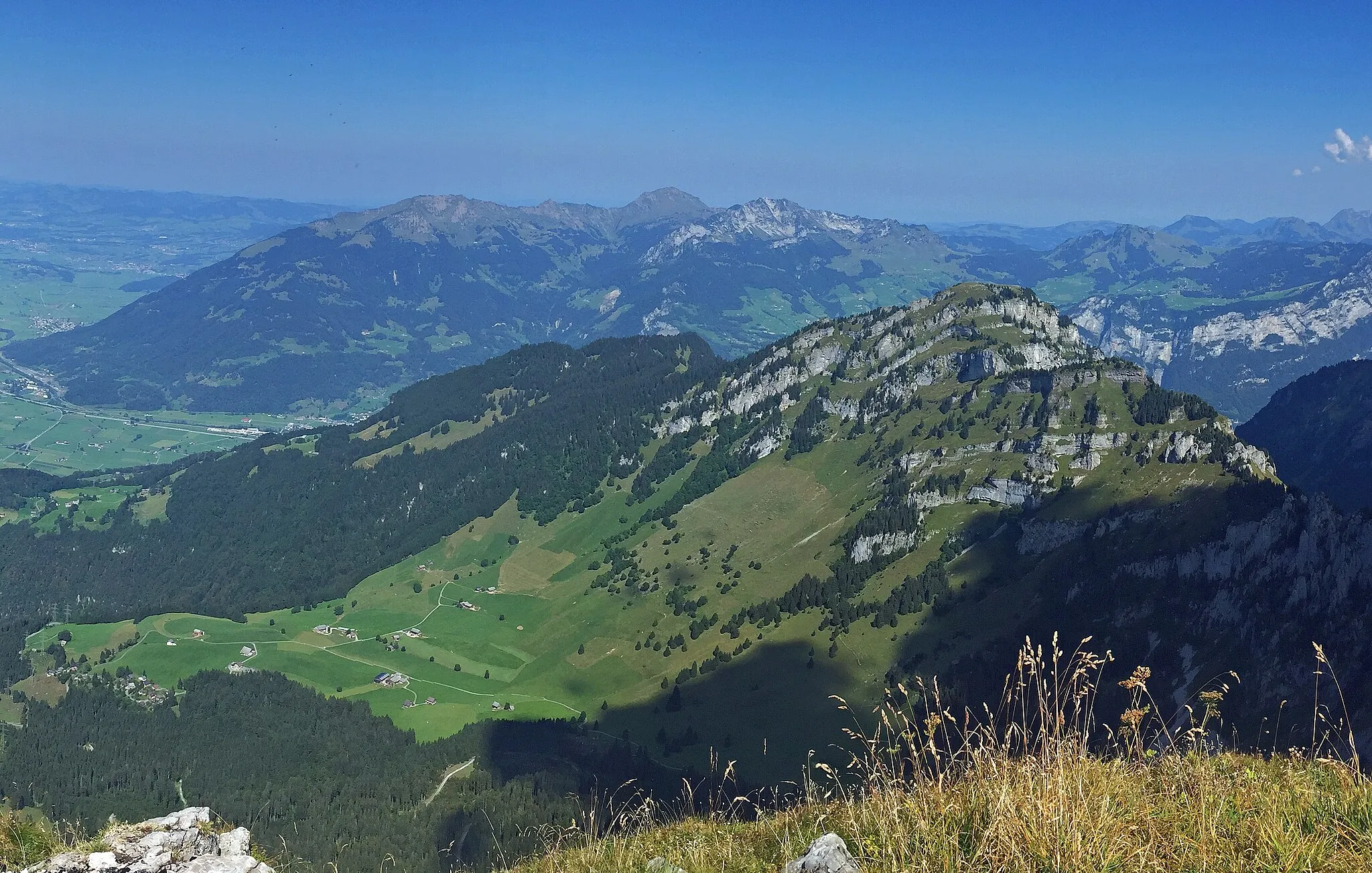
Bachtelhörnli969 mPeakBachtelhörnli is a prominent summit with panoramic vistas and a popular destination for hikers and cyclists.
37 km
37 km
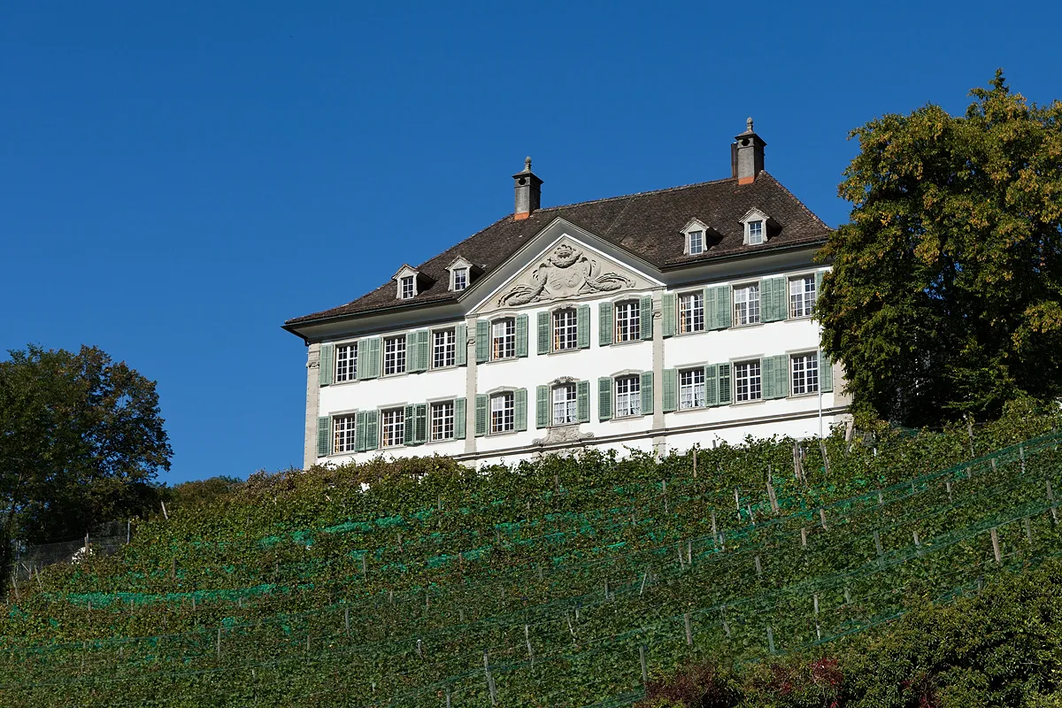
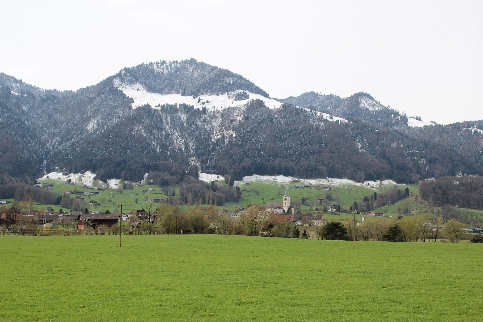
DürntenVillageDürnten is a quaint village known for its traditional Swiss chalets and beautiful flower gardens.
54 km
54 km
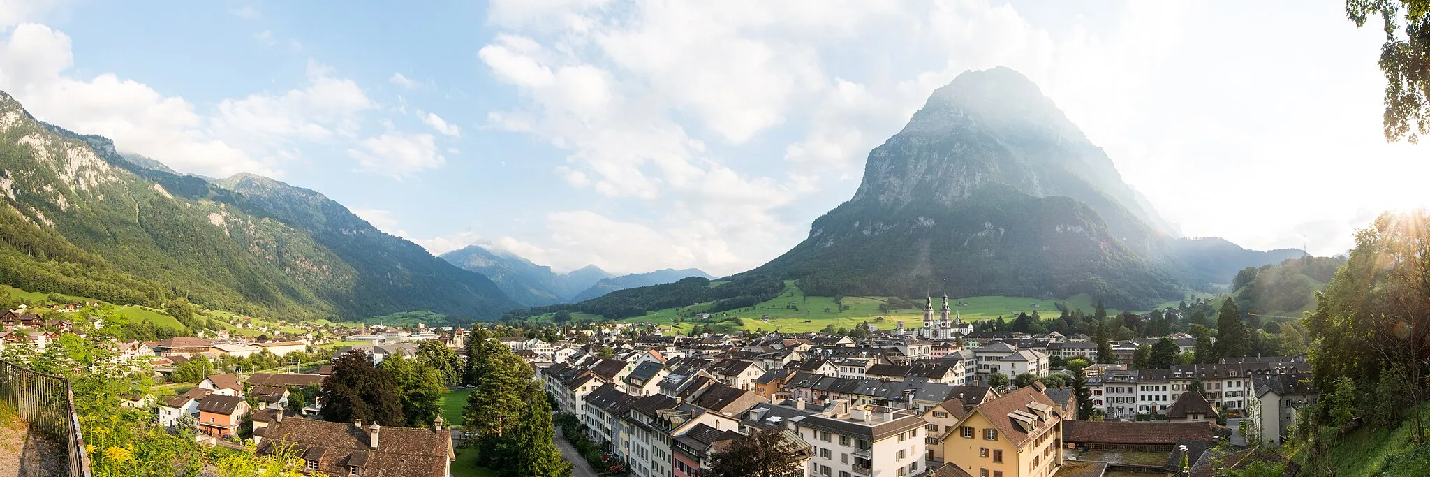
UznachVillageUznach is a charming medieval village with well-preserved architecture and a lively market square.
72 km
72 km
OberurnenVillageOberurnen is nestled in picturesque surroundings and offers a picturesque starting point for the route.
72 km
72 km
Finish: Oberurnen Village centerOberurnen: Discover the beauty of Oberurnen's cycling routes nestled amidst breathtaking mountains and lakes.
Cycling routes nearby: