Engadine Road Adventure
A road cycling route starting from Pontresina
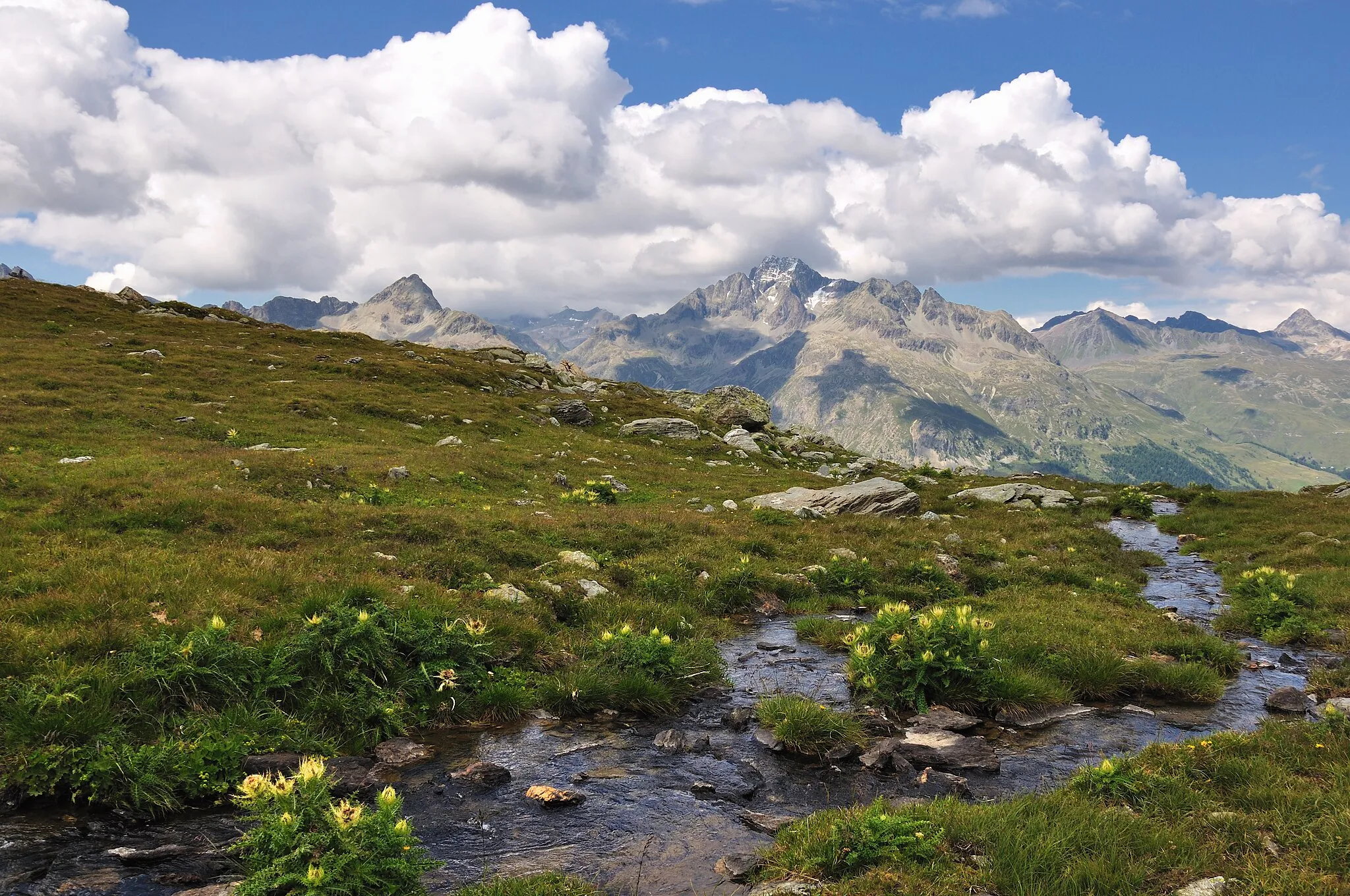
Embark on a challenging road adventure through Engadine's scenic beauty.
Map
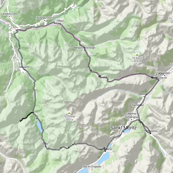
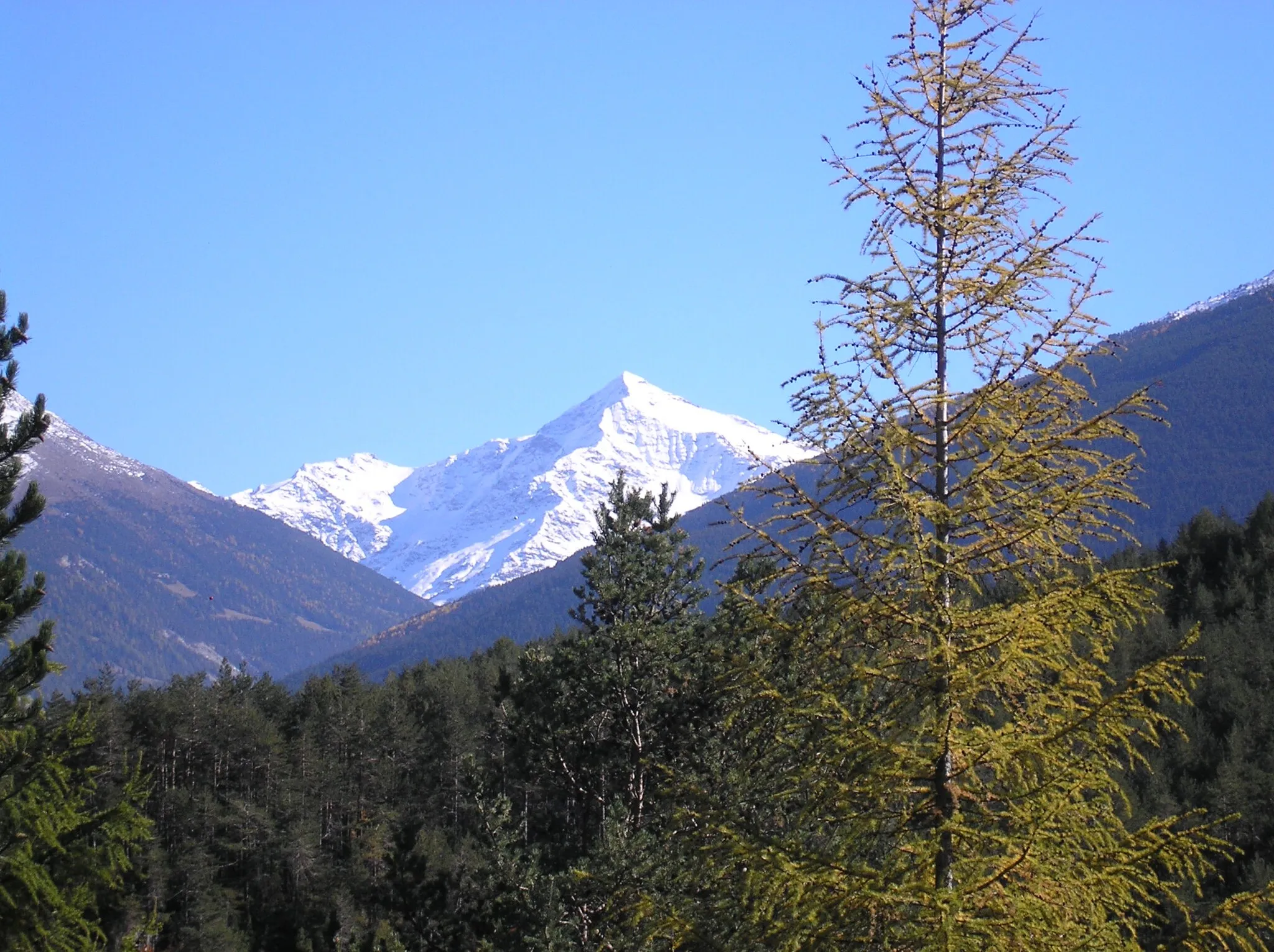
Take on the challenge of Engadine on this 116 km road adventure starting near Pontresina. With 3458 meters of ascent, this route is perfect for cyclists seeking a tough challenge. Highlights include the picturesque Silvaplana, Piz Polaschin, and Bivio.
road
116 km
3458 m
Tough
Route profile
Highlights on the route
0 km
0 km
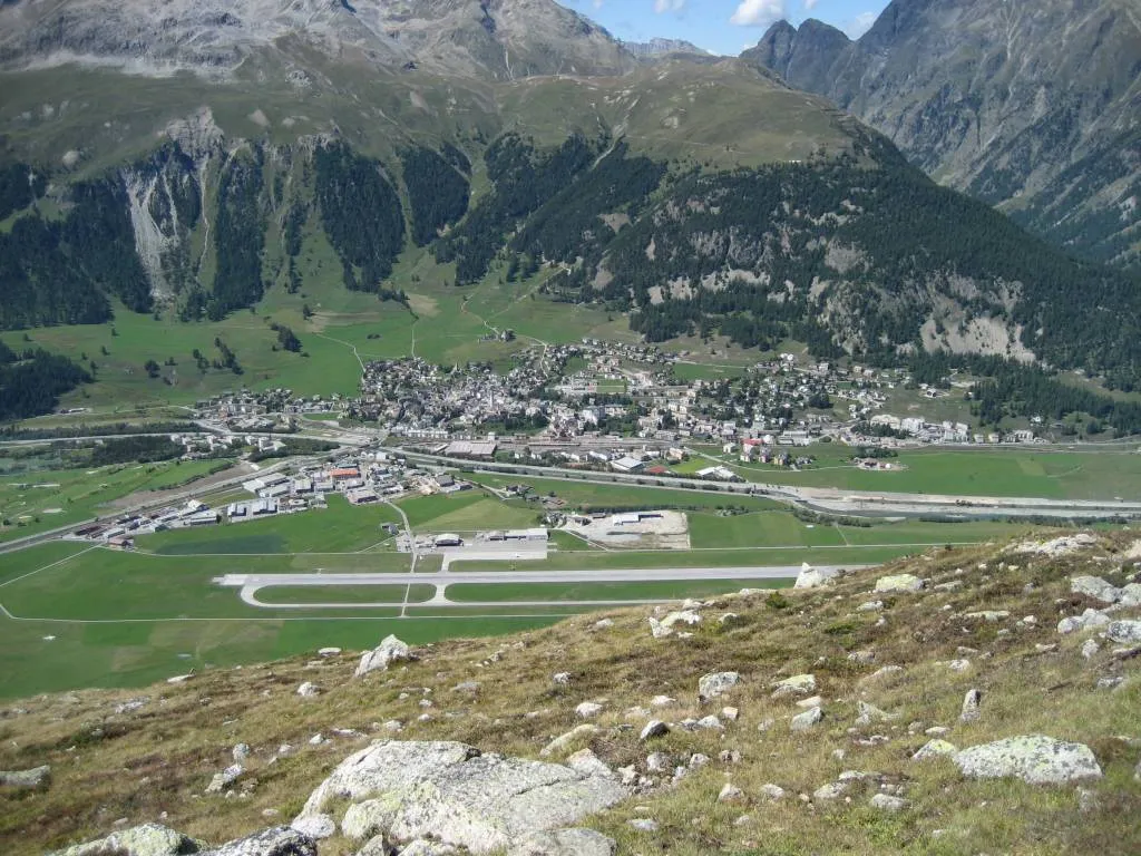
Start: Pontresina Village centerPontresina: Conquering legendary climbs in Pontresina
Pontresina is located in the Ostschweiz region of Switzerland. It is a renowned locality for cyclists, providing access to some of the most challenging and legendary climbs in the Swiss Alps. Notable cycling-related spots nearby include the Bernina Pass and the Morteratsch Glacier, both offering breathtaking views. Pontresina is a must-visit destination for cycling enthusiasts looking to conquer iconic climbs in Switzerland.12 km
12 km
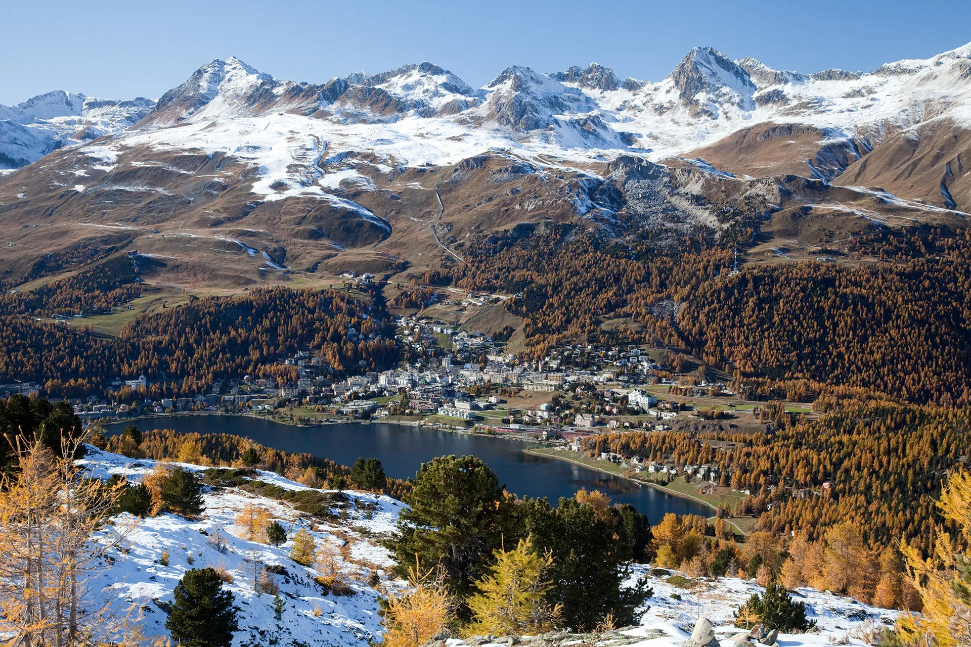
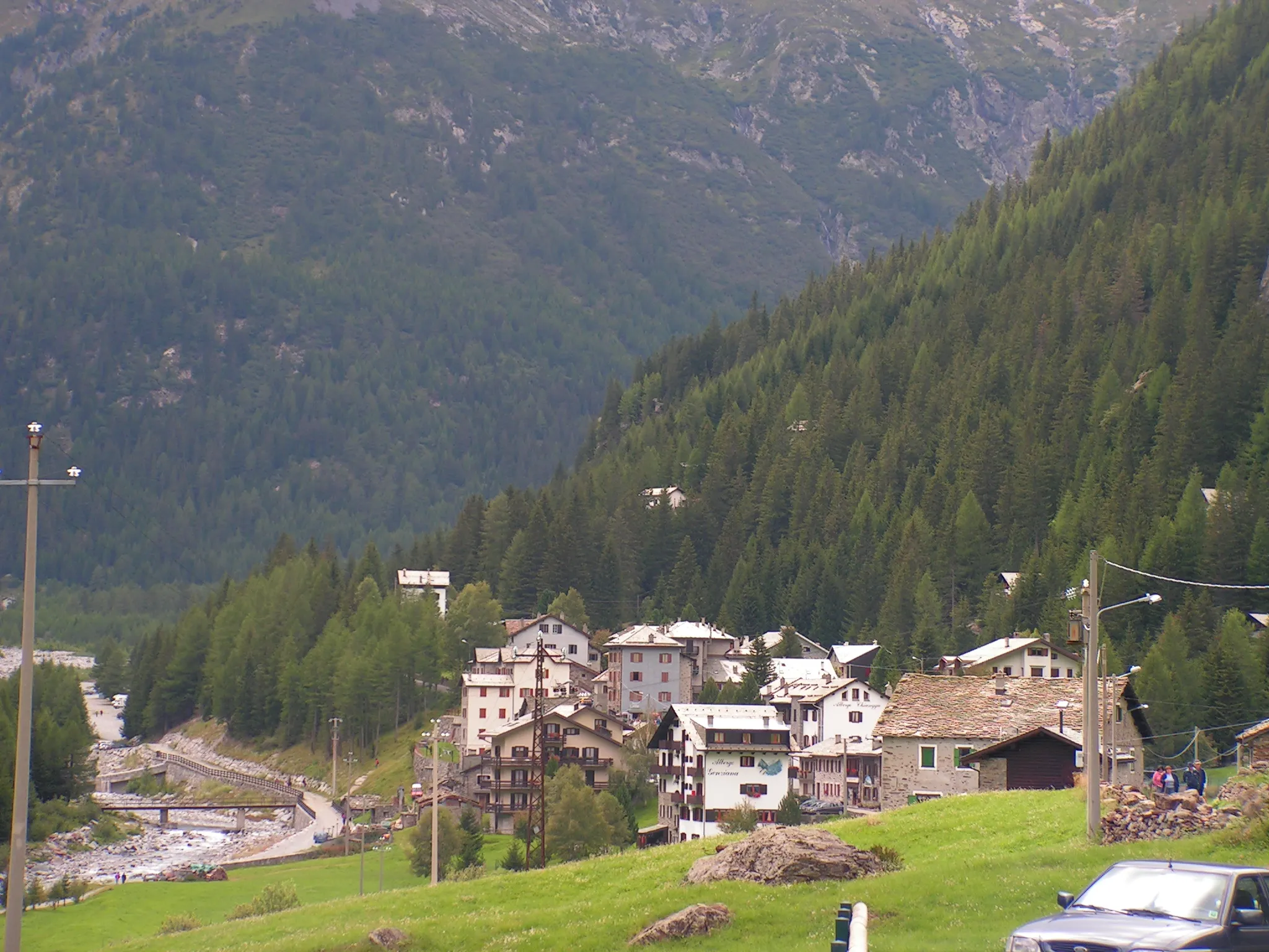
SilvaplanaVillageAdmire the stunning views of Silvaplana.
17 km
17 km
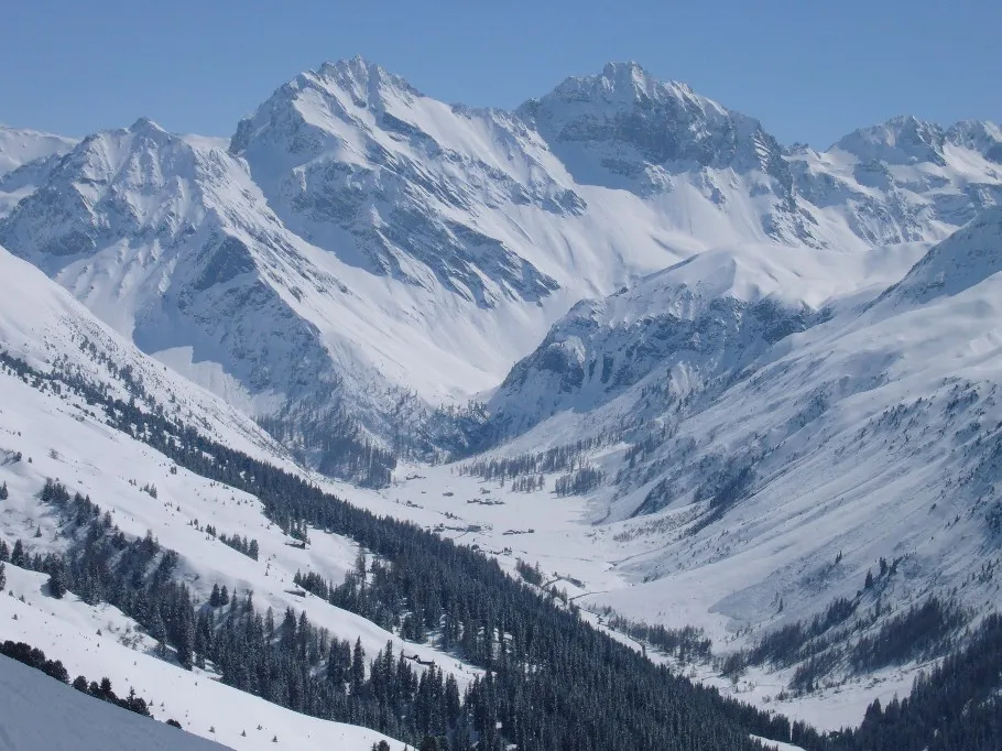
Piz Polaschin3012 mPeakChallenge yourself on the steep ascent to Piz Polaschin.
28 km
28 km
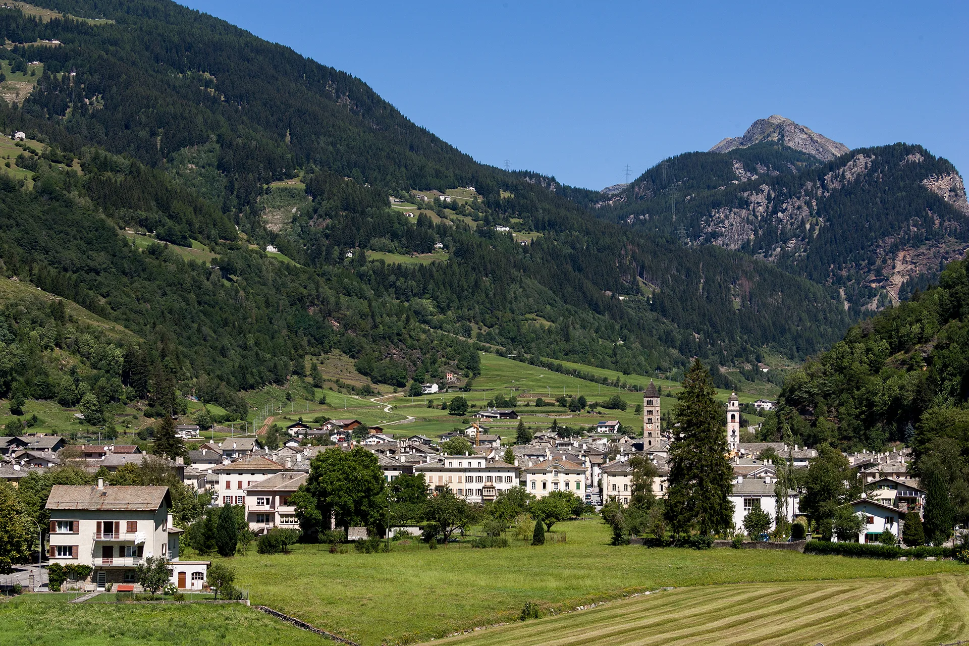
BivioVillagePass through Bivio and soak in the charming Swiss village atmosphere.
36 km
36 km
Tgarnet1975 mPeakEnjoy the scenic beauty of Tgarnet.
53 km
53 km
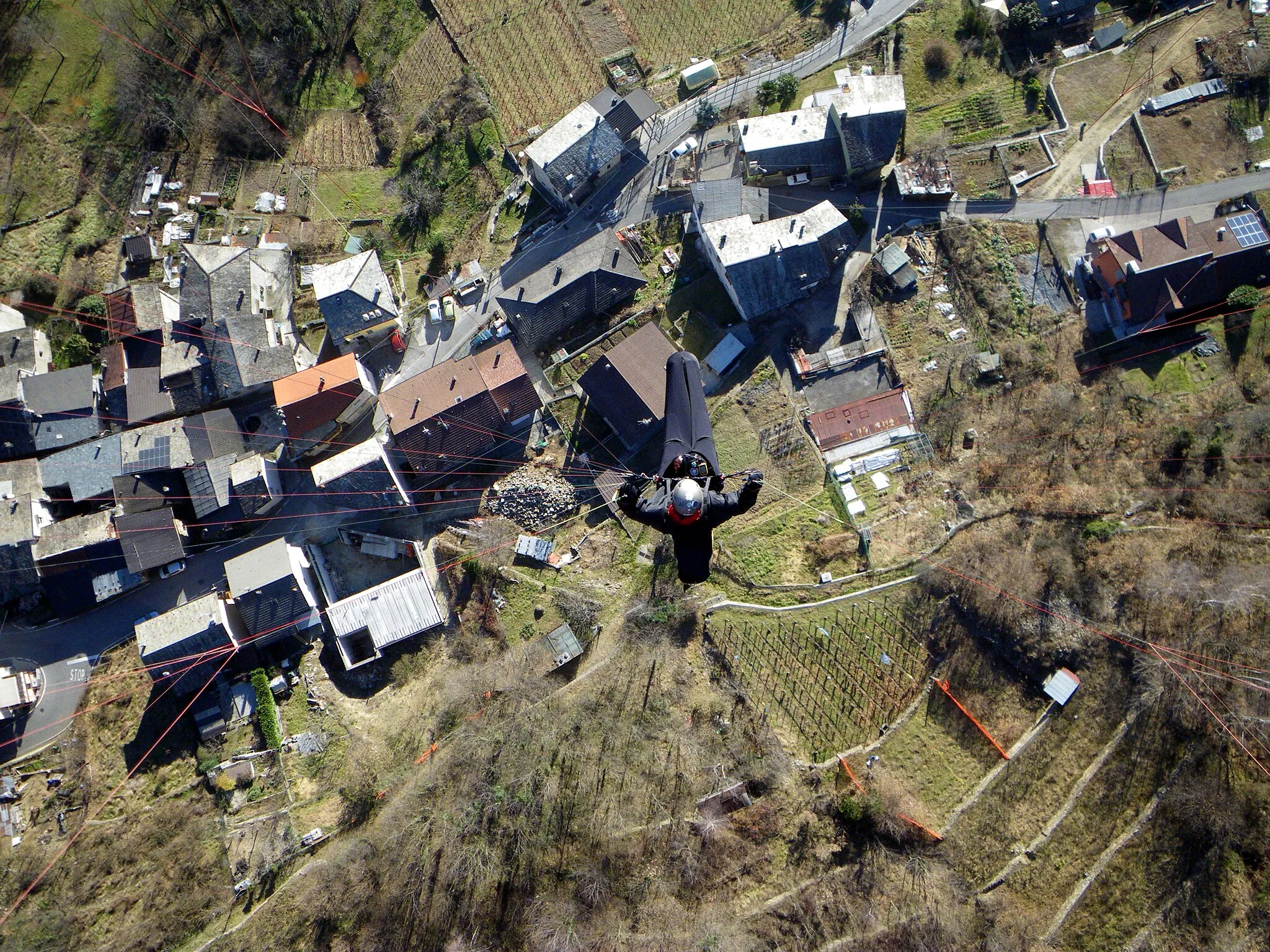
TinizongVillageExplore the quaint town of Tinizong.
60 km
60 km
Motta Vallac1376 mPeakTake in the beauty of Motta Vallac along the route.
80 km
80 km
Bergün/BravuognVillageDiscover the charming town of Bergün/Bravuogn.
94 km
94 km
Albulapass2312 mMountain PassConquer the challenging Albulapass.
103 km
103 km
La Punt Chamues-chVillageVisit the picturesque village of La Punt Chamues-ch.
116 km
116 km
Konzertplatz TaisShelterPass by Konzertplatz Tais and soak in the peaceful ambiance.
116 km
116 km
RöntgenplatzViewpointStart and finish your ride at Röntgenplatz, an excellent starting point near Pontresina.
116 km
116 km
Finish: Pontresina Village centerPontresina: Conquering legendary climbs in Pontresina
Cycling routes nearby: