Challenging Gravel Adventure to Trogen and Koblach
A gravel cycling route starting from Speicher
Embark on a challenging gravel adventure through Trogen and Koblach, experiencing stunning landscapes and unique highlights.
Map
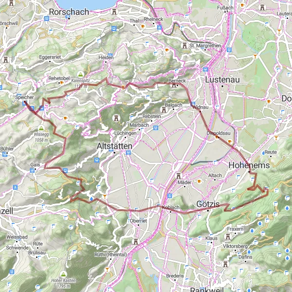
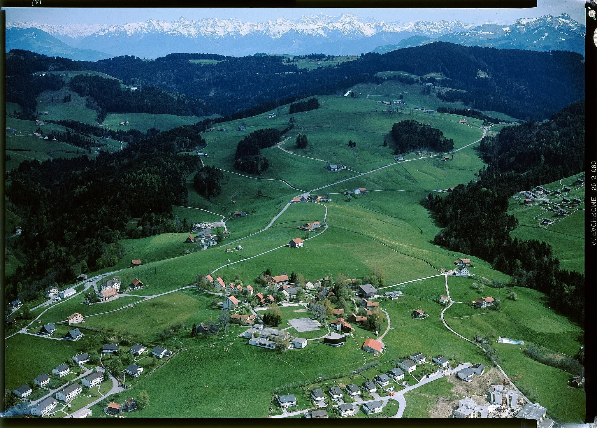
This highly challenging gravel route takes you through Trogen and Koblach, offering breathtaking views and unforgettable experiences along the way. With a total ascent of 2372 meters and a distance of 72 kilometers, this route is tailored for experienced gravel riders seeking a thrilling adventure. Discover highlights such as Trogen, a historic town with charming architecture; the Kaienspitz rock formation, providing a unique photo opportunity; and Koblach, a picture-perfect village with stunning gardens. With a difficulty rating of 5, this route is only recommended for seasoned athletes who are well-prepared both physically and mentally. The epicness score is 4, thanks to the awe-inspiring natural landscapes and fascinating highlights.
gravel
72 km
2372 m
Savage
Route profile
Highlights on the route
0 km
0 km
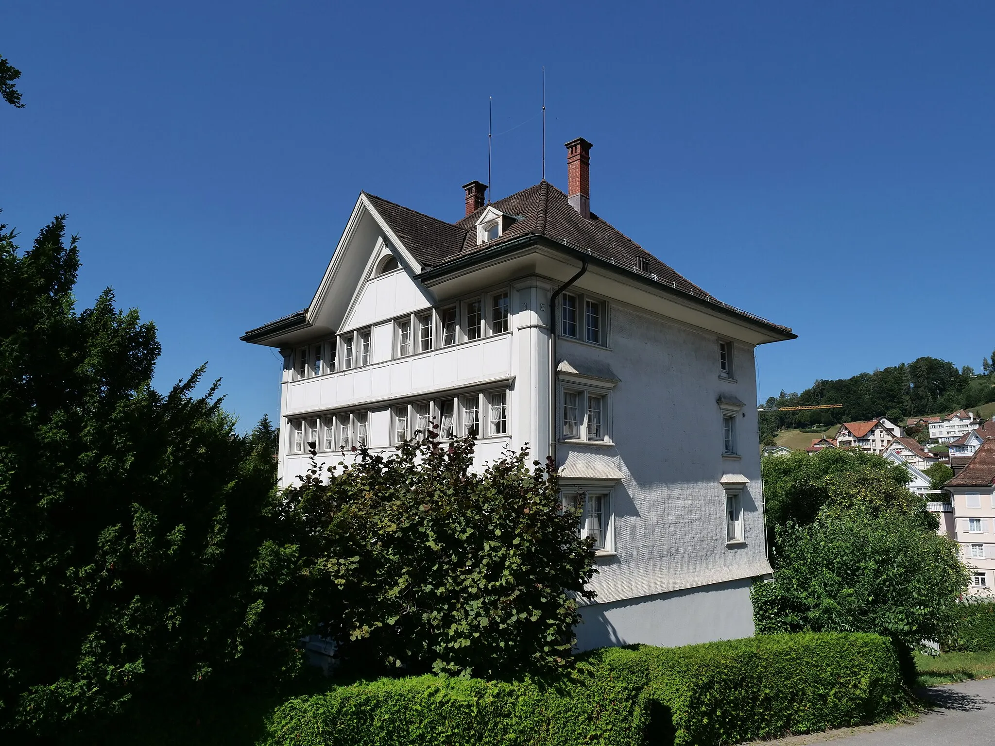
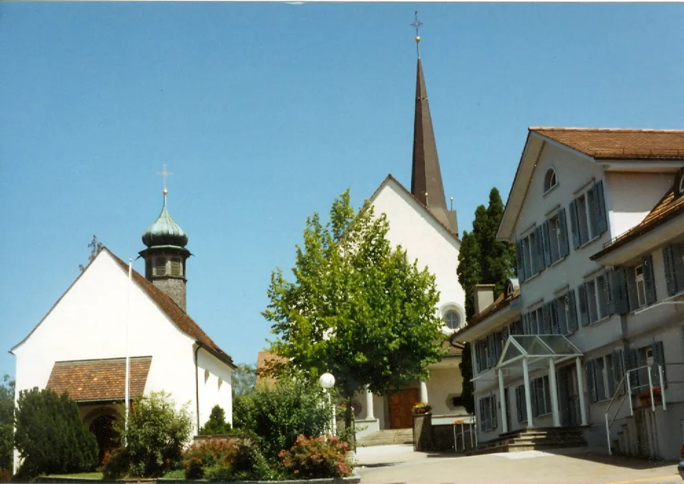
Start: Speicher Village centerSpeicher: Exploring scenic routes and historic sites in Speicher
Speicher is a town in Ostschweiz, Switzerland. The town offers a variety of cycling opportunities for both road and gravel cyclists. The roads in the region are well-paved and provide scenic views of the surrounding countryside. Speicher is home to several well-known climbs, including the Speicher Pass, which offers a challenging ascent for experienced cyclists. The town also has cycling trails that cater to different skill levels, making it suitable for cyclists of all abilities. In addition to cycling, Speicher is known for its rich cultural heritage, with several historical sites and museums worth visiting.2 km
2 km
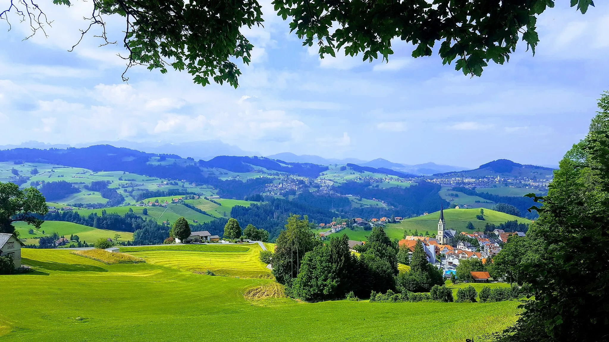
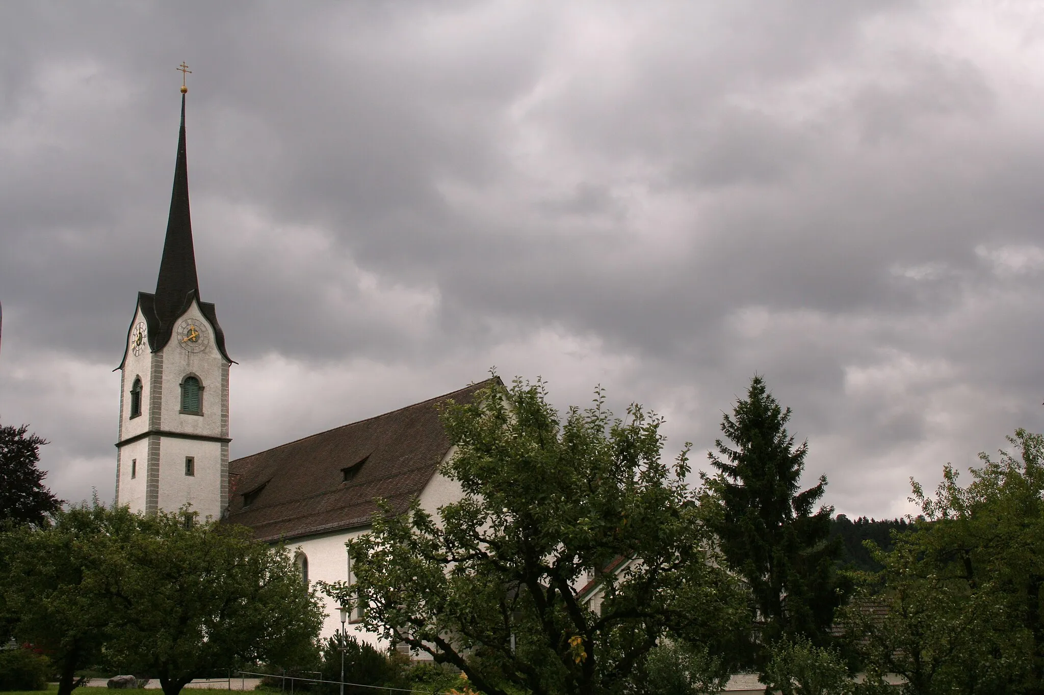
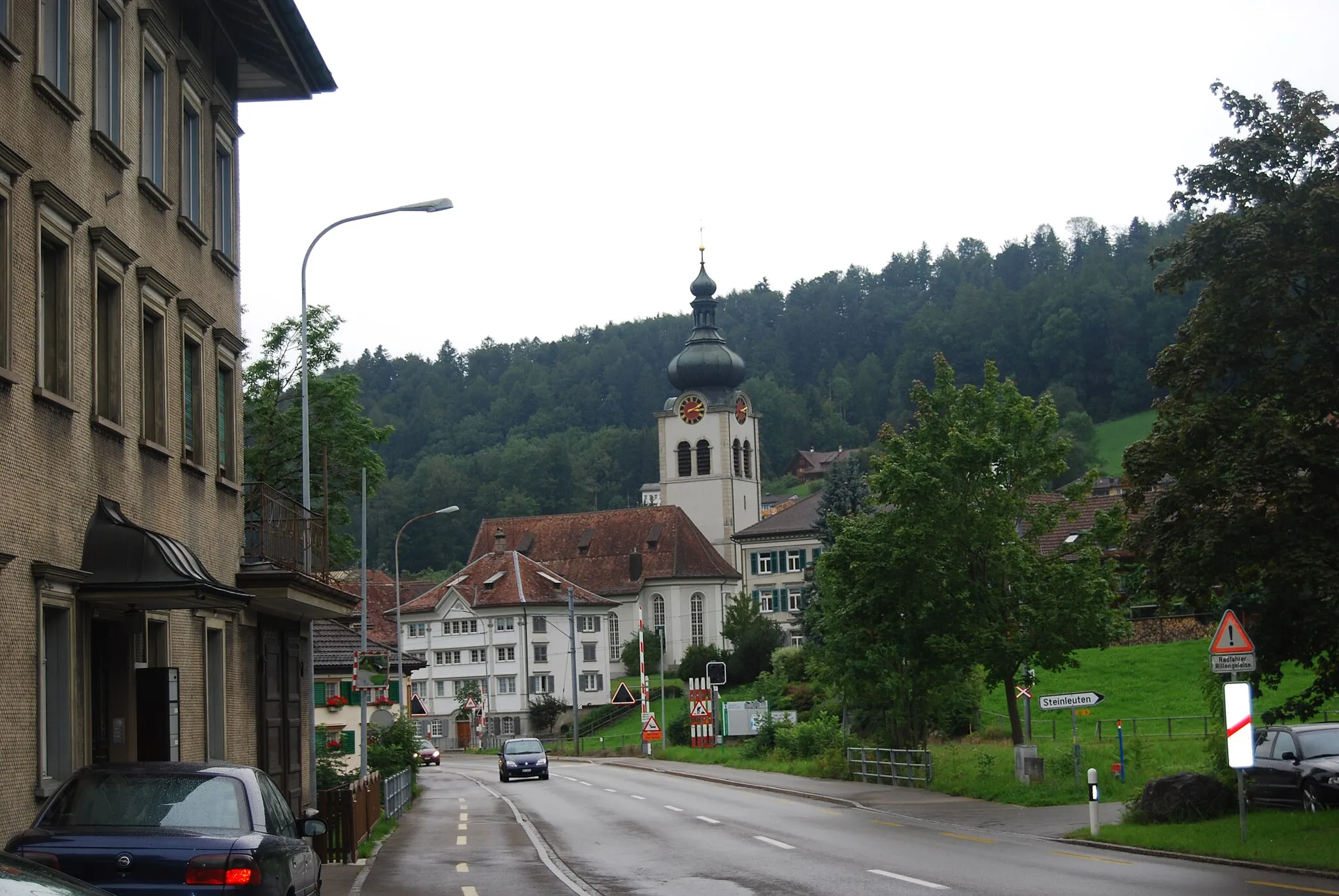
TrogenVillageTrogen is a historic town with well-preserved architectural gems, providing a stepping stone into the region's rich past.
8 km
8 km
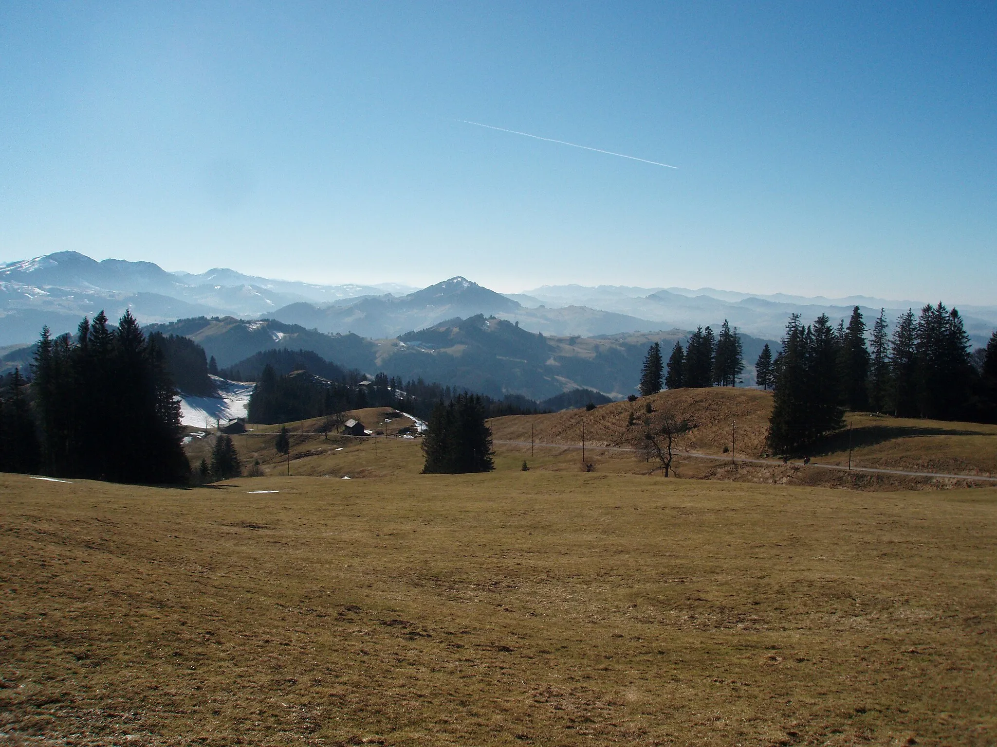
Kaienspitz1121 mPeakThe Kaienspitz is an intriguing rock formation, shaped by centuries of natural forces, offering a memorable sight and a chance for adventure.
17 km
17 km
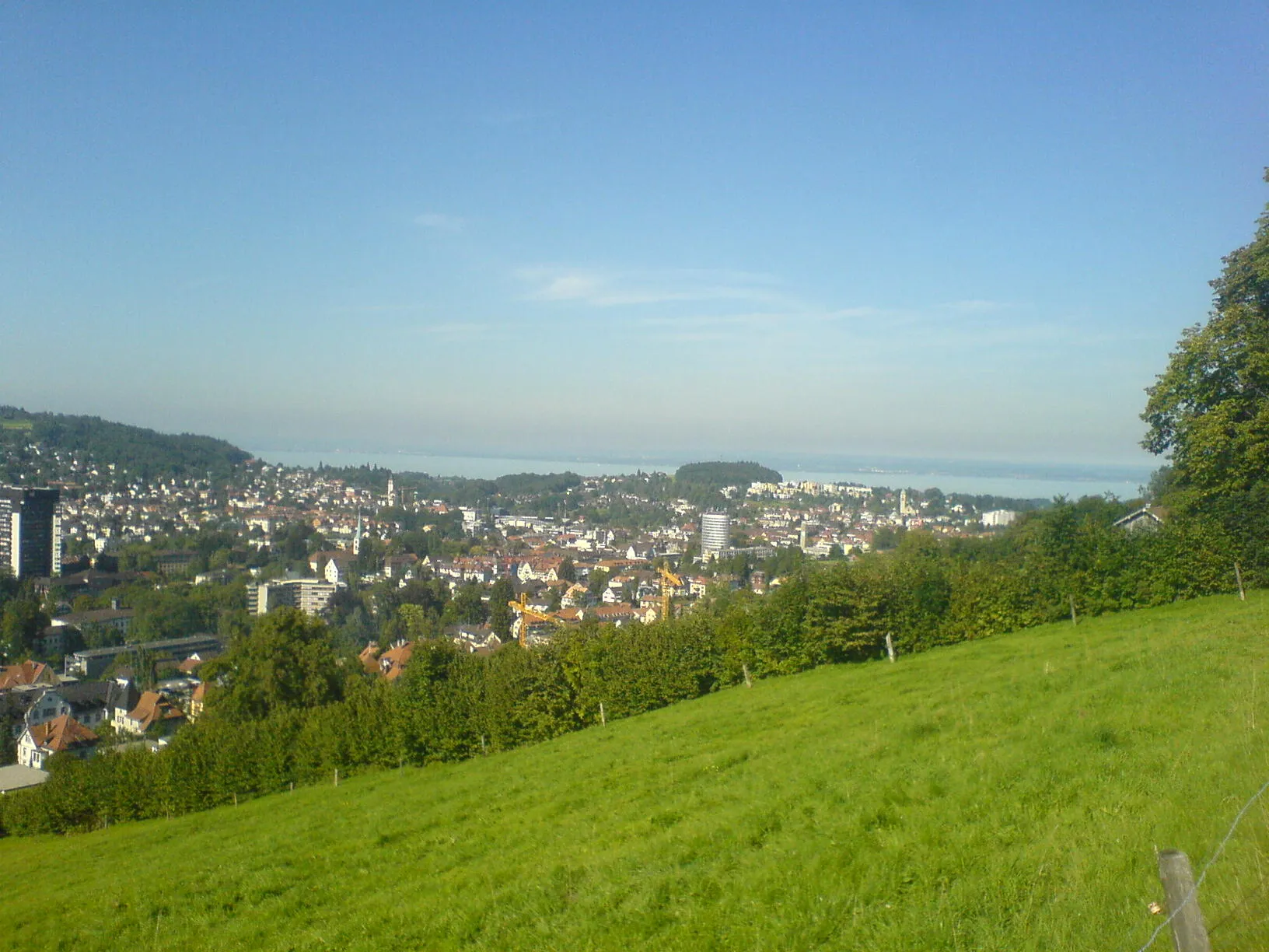
BerneckVillageBerneck is a picturesque village with vibrant gardens and stunning landscapes, providing a peaceful respite during your challenging ride.
30 km
30 km
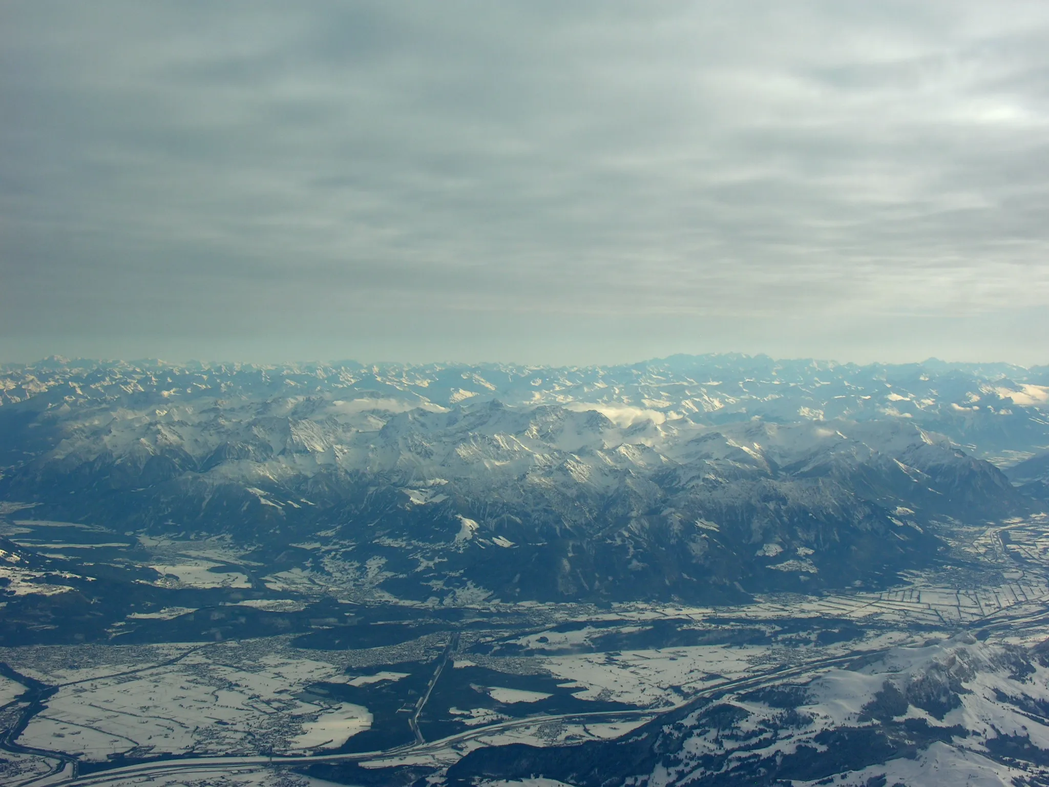
Kapf1153 mPeak ViewpointKapf is a panoramic peak that offers breathtaking views of the surrounding mountains and valleys, providing a true sense of accomplishment during this epic gravel adventure.
39 km
39 km
SoeleViewpointSoele is a small settlement surrounded by untouched nature and tranquil atmosphere, making it a perfect respite from the challenges of this route.
44 km
44 km
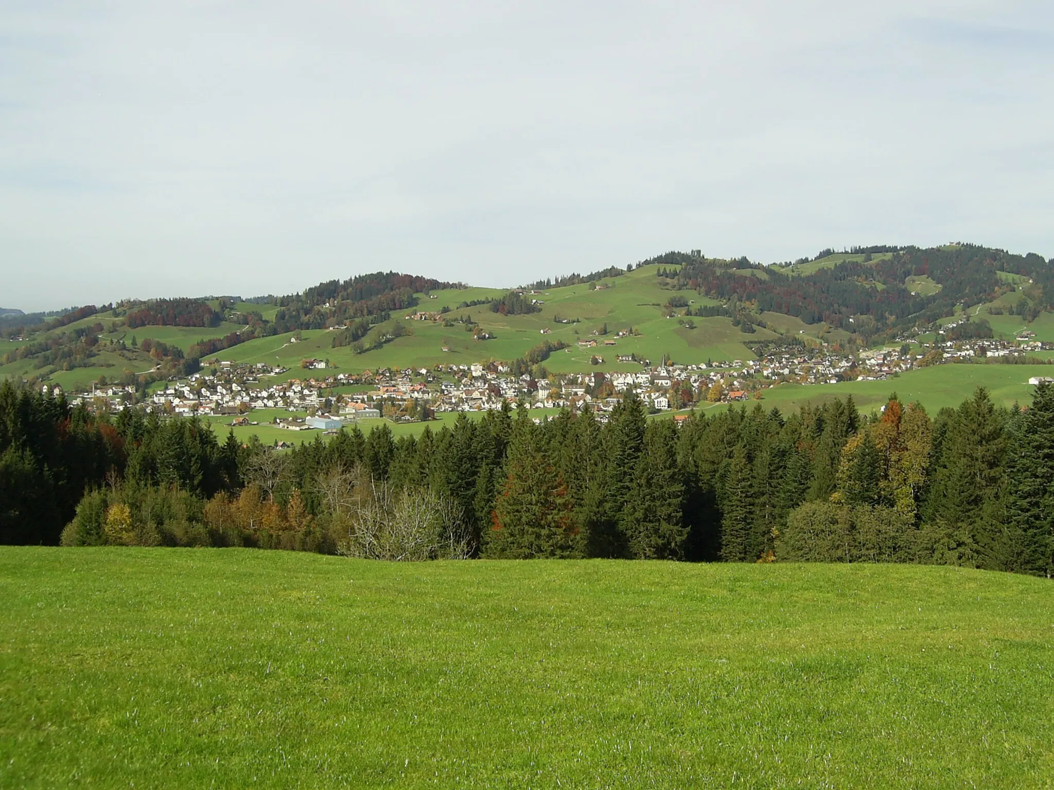
KoblachVillageKoblach is a picturesque village known for its charming houses and scenic gardens, providing enchanting sights along your gravel journey.
67 km
67 km
Gäbris1250 mPeakGäbris is a legendary climb revered by cyclists for its challenging ascent and jaw-dropping views, making it a must-do highlight for seasoned gravel riders.
72 km
72 km
Finish: Speicher Village centerSpeicher: Exploring scenic routes and historic sites in Speicher
Cycling routes from Speicher:
Challenging Loop with Stunning Alpine Views Picturesque Loop through Eastern Swiss Countryside Gravel Adventure to Trogen and beyond Explore the Beauty of Lake Constance Scenic Loop along the Eastern Ridges Road Cycling Tour of Ostschweiz Discovering Trogen and Thal by Road Sights and Scenery of Eastern Switzerland Challenging Gravel Adventure to Trogen and Koblach The Gravel Adventure Gravel Adventure in Speicher
Cycling routes nearby: