The Hemishofen Loop
A road cycling route starting from Steckborn
An exhilarating road cycling route with picturesque views and challenging climbs
Map
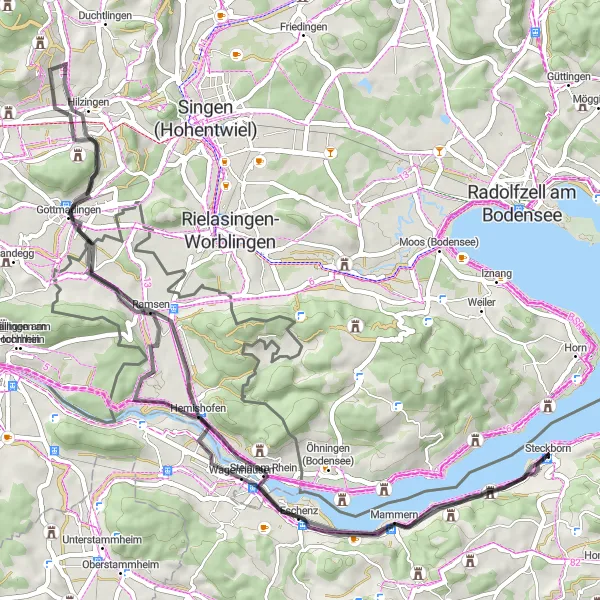
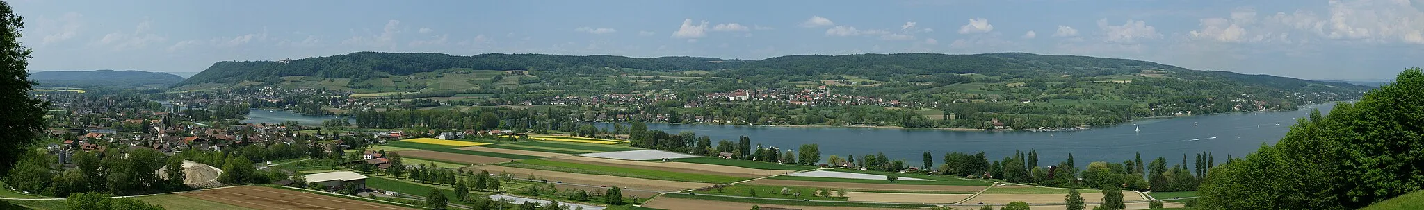
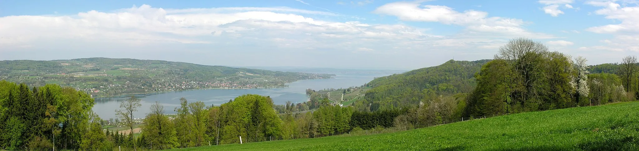
The Hemishofen Loop is a 61-kilometer road cycling route starting near Steckborn in Ostschweiz. With a total ascent of 463 meters, this route offers scenic views of the region while providing challenging climbs for cyclists. The route takes you through the charming village of Hemishofen, where you can experience its rich history and architecture. As you continue, you will reach Wulchestei, a delightful viewpoint, from where you can admire the beautiful landscapes. Other highlights include Gottmadingen, Heilsberg, and Ramsenerblick, each offering unique experiences and attractions. The Hemishofen loop is a great option for cyclists looking for an exciting and rewarding ride in Ostschweiz.
road
61 km
463 m
Tough
Route profile
Highlights on the route
0 km
0 km
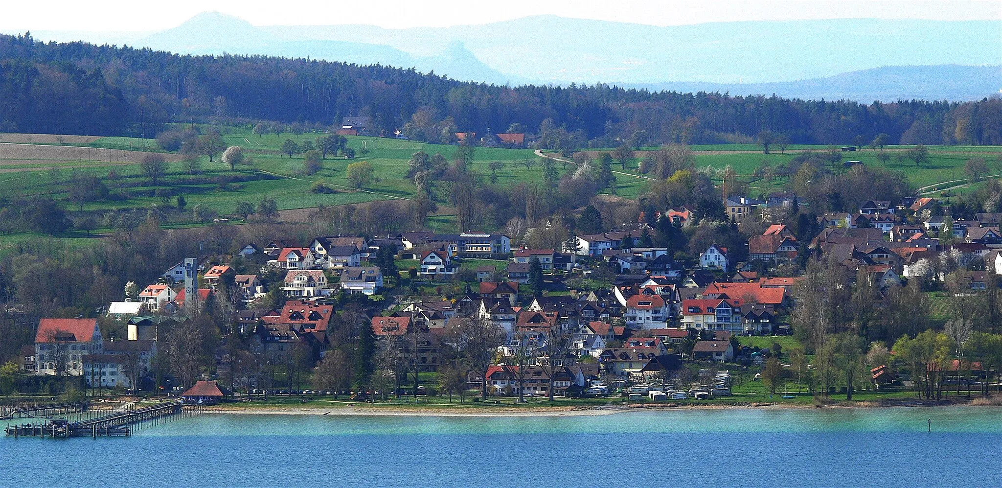
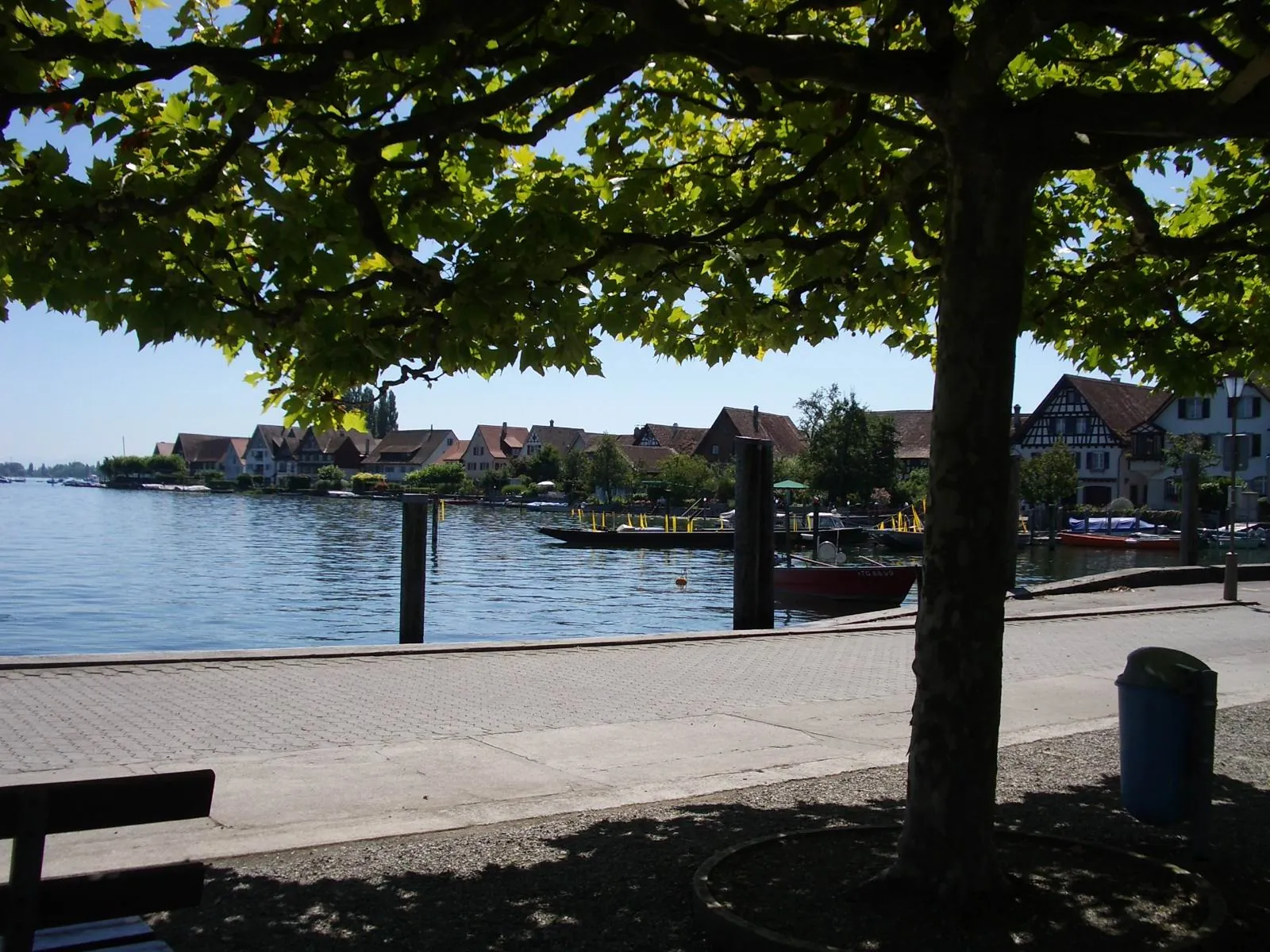
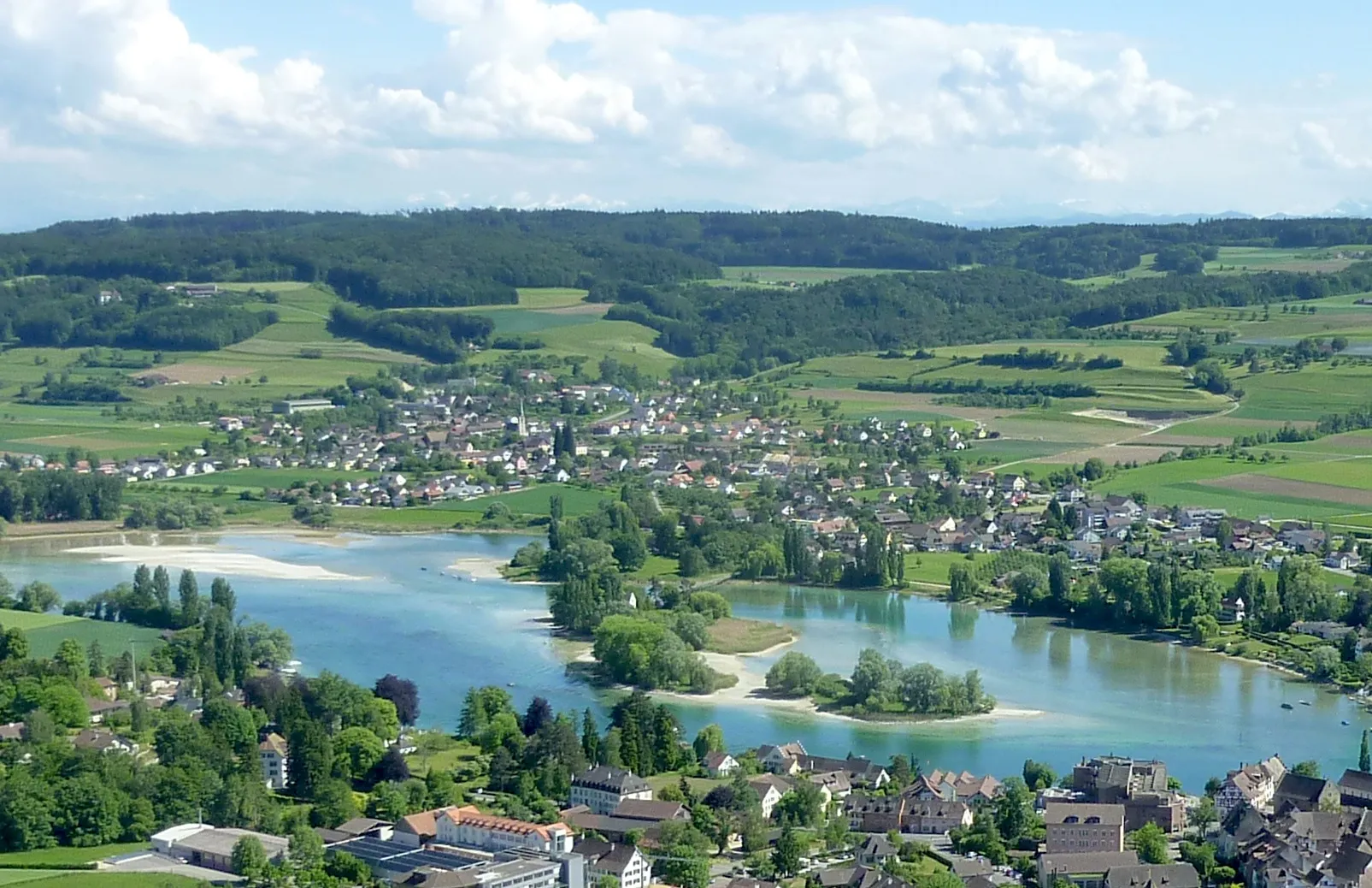
Start: Steckborn Village centerSteckborn: Discovering the beauty of Steckborn along Lake Constance in Switzerland.
Steckborn in Ostschweiz, Switzerland is a dream destination for road and gravel cyclists. Nestled on the banks of Lake Constance, the town offers stunning lake views and smooth roads for enjoyable rides. Cyclists can explore the surrounding countryside, passing through charming Swiss villages and taking in the breathtaking alpine scenery. Not far from Steckborn is the famous climb to Santis, a challenging ascent that rewards riders with panoramic views from the summit. From pristine lakeside routes to epic mountain climbs, Steckborn is a paradise for cyclists of all levels.14 km
14 km
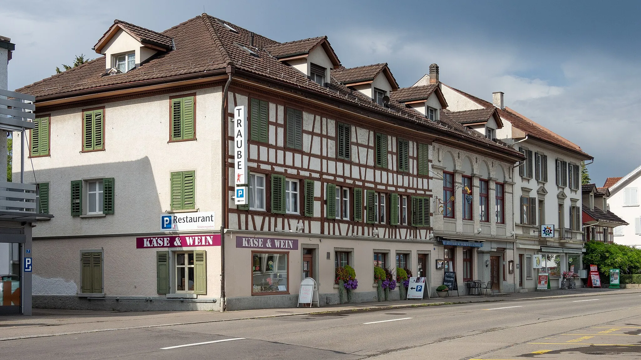
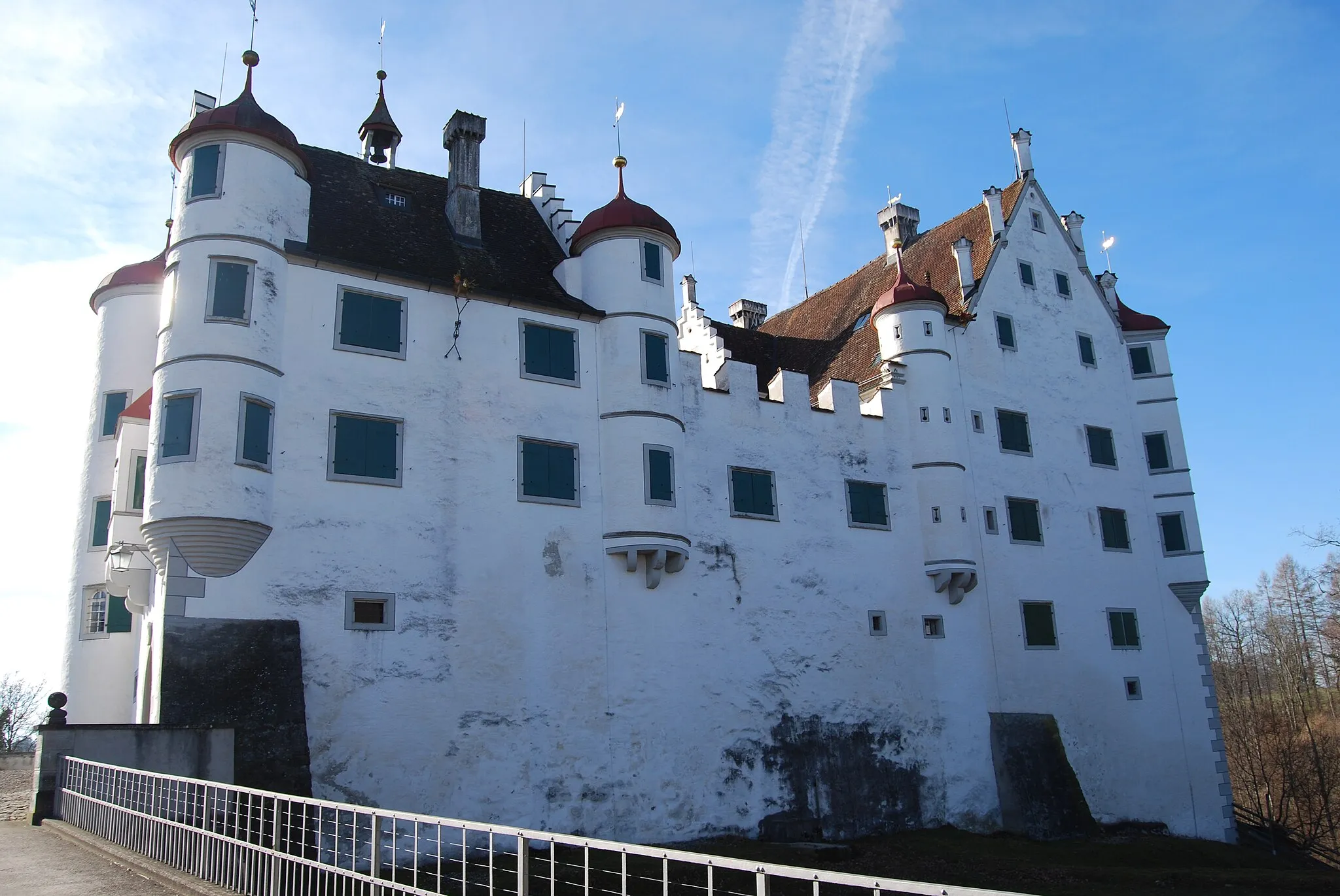
HemishofenVillageHemishofen is a charming village with a rich history and architectural treasures.
14 km
14 km
WulchesteiViewpointWulchestei offers breathtaking panoramic views of the surrounding landscapes.
22 km
22 km
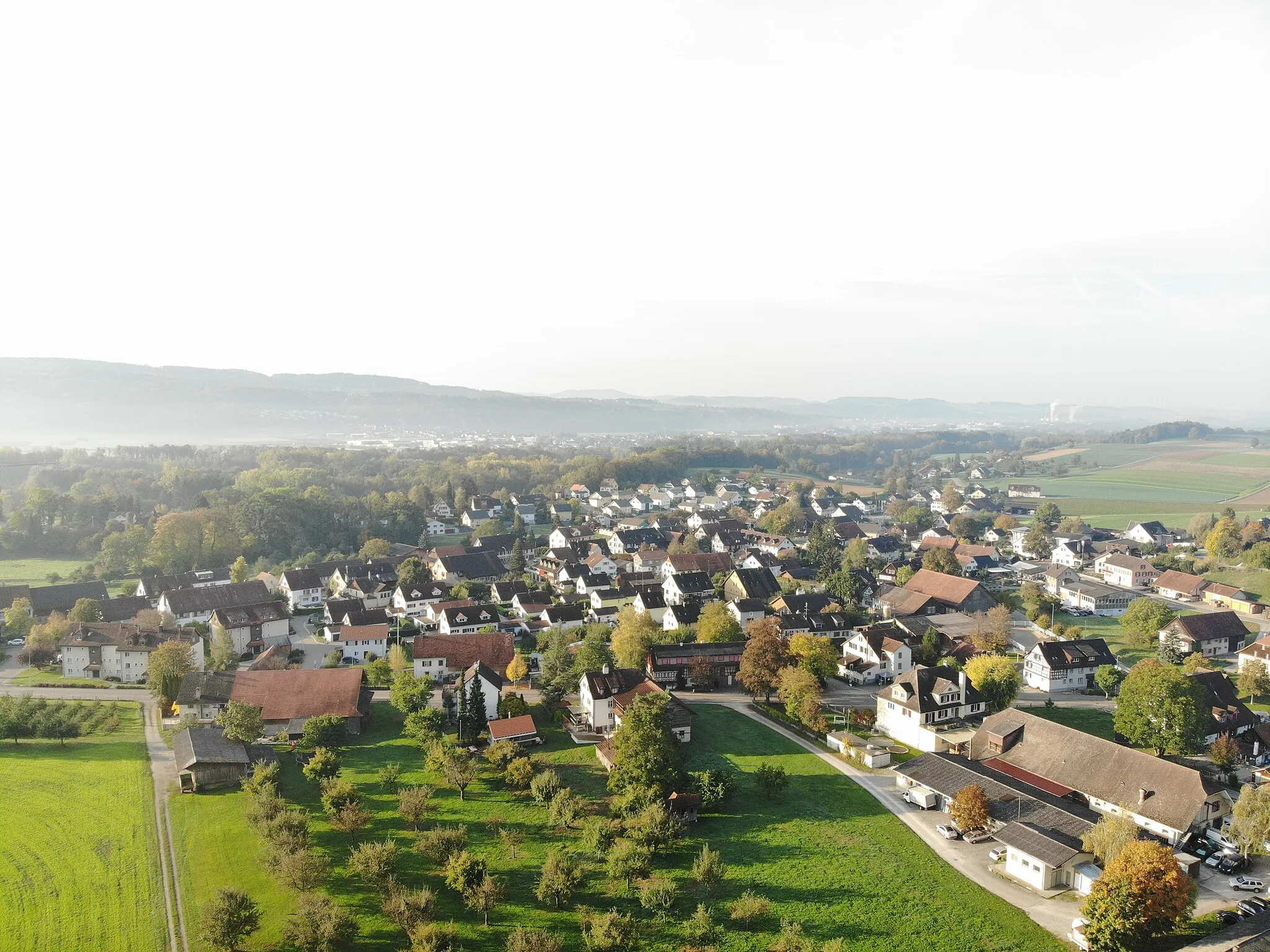
GottmadingenVillageGottmadingen is a delightful town with historical sites and cultural attractions.
24 km
24 km
Heilsberg569 mPeakHeilsberg is a beautiful hill with stunning views of the countryside.
39 km
39 km
RamsenerblickViewpointRamsenerblick is a must-visit viewpoint that offers panoramic vistas of the region.
44 km
44 km
BibermühleHamletBibermühle is a picturesque spot surrounded by nature and peaceful surroundings.
54 km
54 km
Hochwacht (592)ViewpointHochwacht offers stunning views from its elevation of 592 meters above sea level.
61 km
61 km
SteckbornVillageSteckborn is the starting and finishing point of the route, a charming town on the banks of Lake Constance.
61 km
61 km
Finish: Steckborn Village centerSteckborn: Discovering the beauty of Steckborn along Lake Constance in Switzerland.
Cycling routes nearby: