Discover Müllheim: Scenic routes and off-road trails in a charming Swiss locality.
Cycling routes from Mullheim
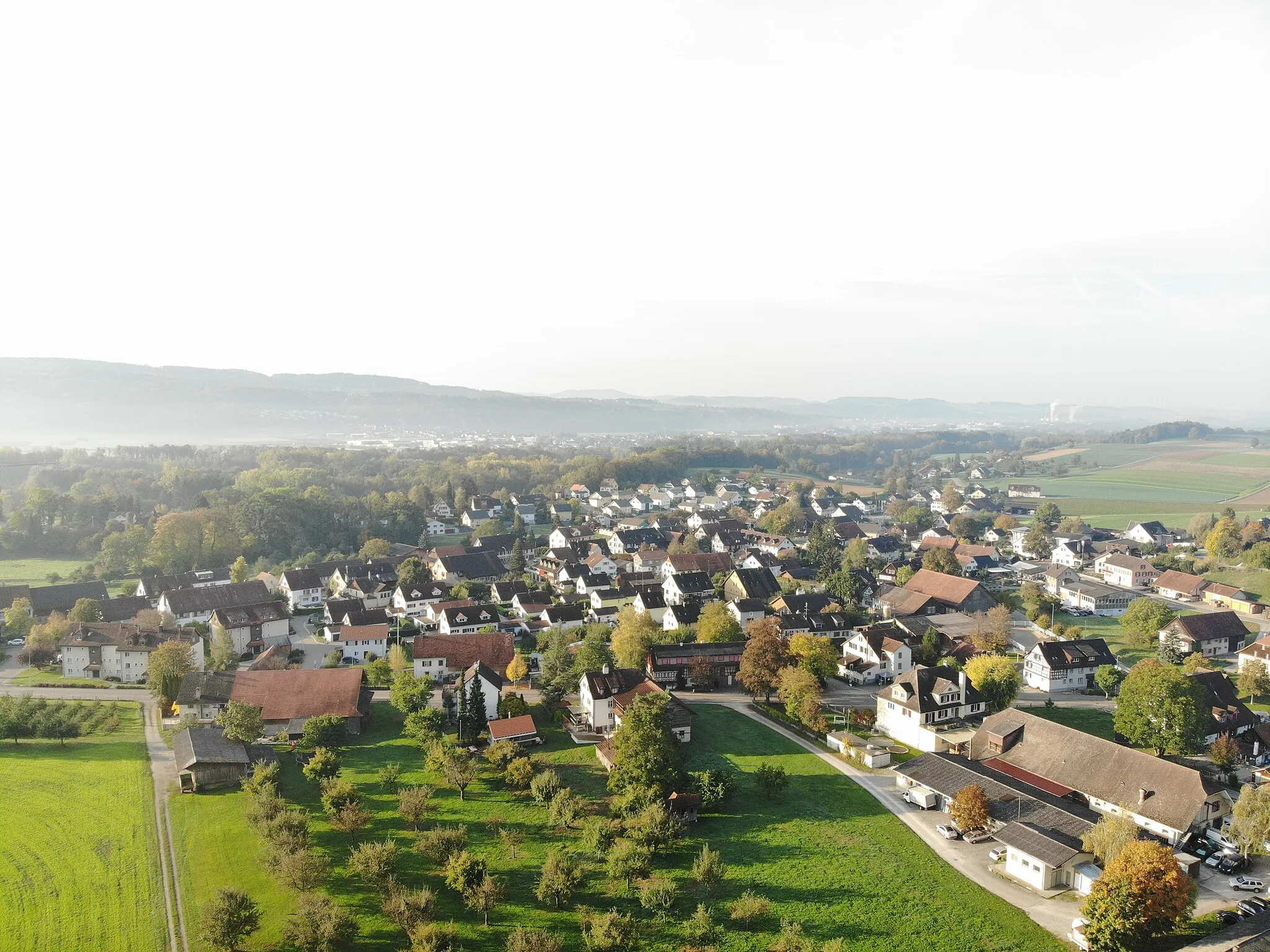
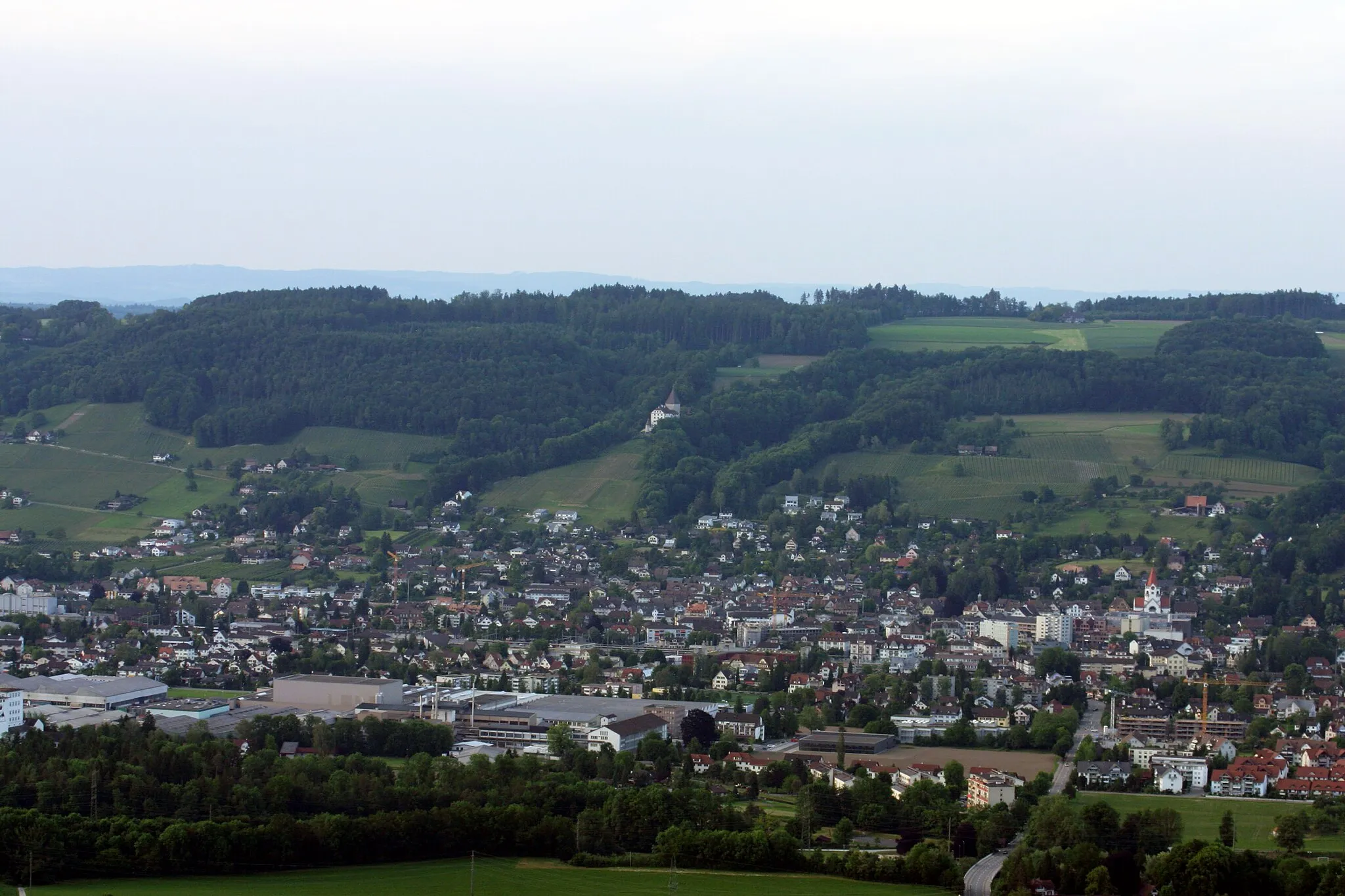
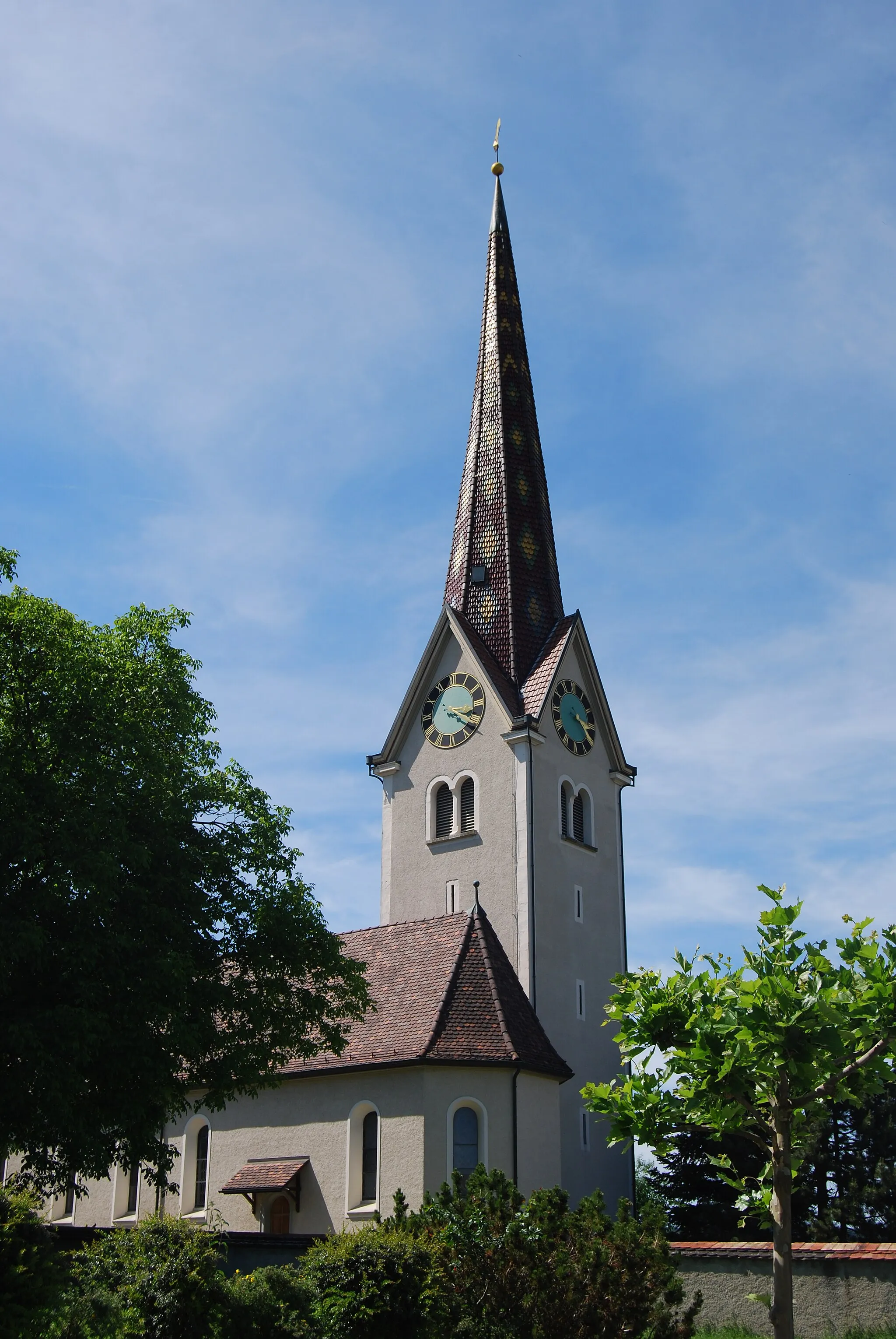
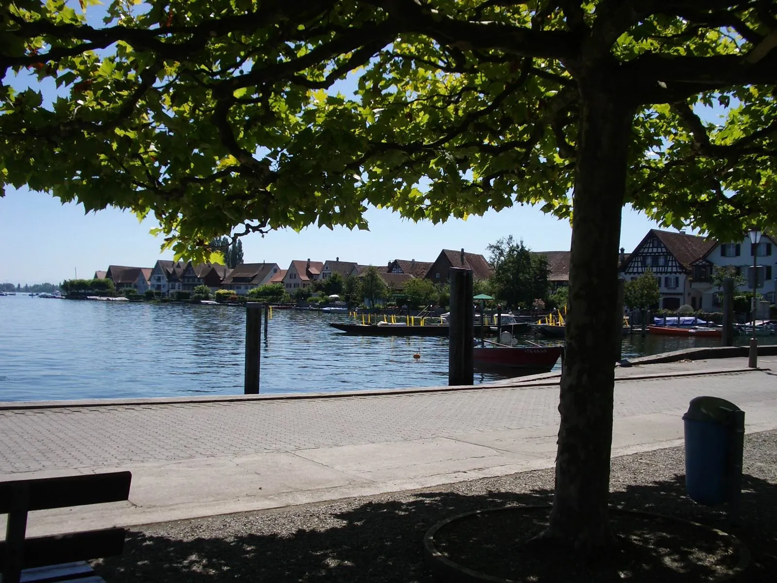
Müllheim is a locality situated in Ostschweiz, Switzerland. For cyclists, Müllheim offers a diverse range of cycling opportunities. The region has a well-maintained network of roads suitable for road cycling, with scenic routes that pass through picturesque villages and countryside. In addition, there are also gravel paths and off-road trails available for gravel cyclists. Müllheim is not particularly renowned for its famous cycling spots or well-known climbs, but it provides a pleasant cycling experience in a beautiful Swiss setting.
Embark on a breathtaking cycling journey that offers captivating views and cultural highlights
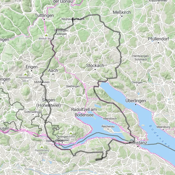
The Panoramic Trail is a must-visit cycling route near Müllheim, Switzerland. With a total distance of 153 kilometers and an ascent of 1871 meters, it is a challenging yet rewarding ride. The route takes you through picturesque countryside, charming towns, and offers stunning vistas of the surrounding landscape. For road cycling enthusiasts, this route offers diverse terrain, making it suitable for both seasoned riders and well-trained amateurs.
Discover the historic landscapes and charming towns on this round-trip cycling route starting near Müllheim.
This round-trip cycling route near Müllheim offers a perfect blend of natural beauty and cultural delights. From picturesque countryside to historic towns, you will experience the best of Eastern Switzerland. With a moderate difficulty level and a touch of epicness, this route is suitable for well-trained amateurs looking for an adventurous cycling experience.
Müllheim Circle Route
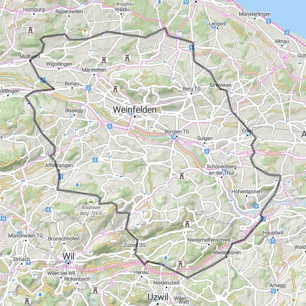
A scenic route through picturesque towns and countryside near Müllheim
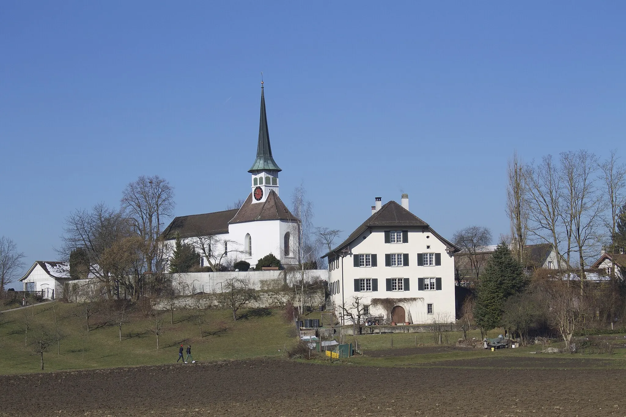
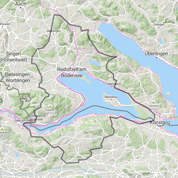
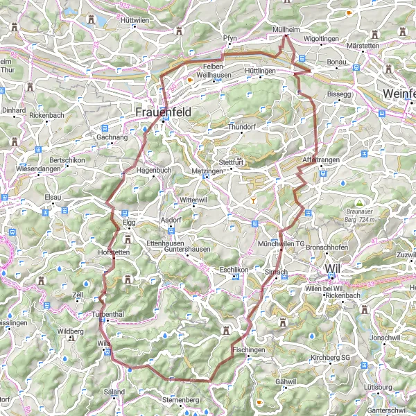
The Müllheim Circle Route offers a beautiful cycling experience through the charming towns and scenic countryside near Müllheim in Ostschweiz, Switzerland. With a distance of 72 kilometers and an ascent of 919 meters, this road route is suitable for well-trained amateur cyclists. The route takes you through highlights such as Bommen, Bischofszell, Geissberg, Braunau, and Eschikofen.
Müllheim Adventure
An adventurous gravel ride starting in Müllheim and exploring the surrounding region
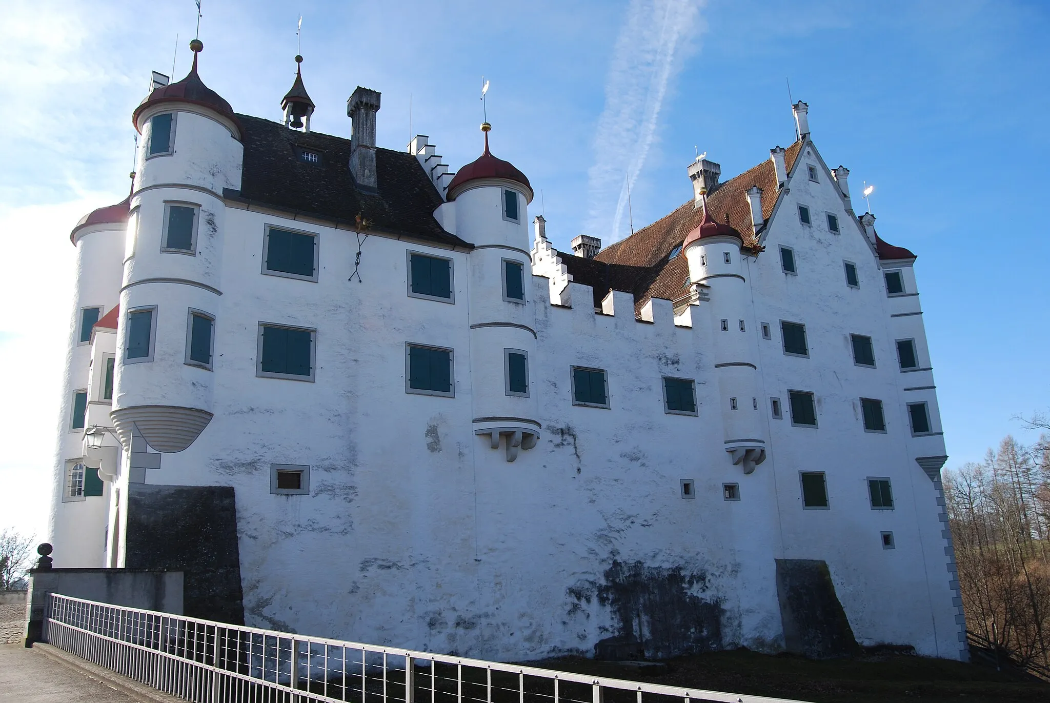
The Müllheim Adventure is a 59 km gravel route that starts and ends in the charming town of Müllheim. With an ascent of 717 m, this route offers a mix of challenging climbs and thrilling descents. It is suitable for gravel bikers looking for a dose of adventure and beautiful landscapes. The highlights of this route include the Panorama viewpoint, offering breathtaking views of the surrounding countryside, Stählibuckturm, a lookout tower with panoramic views, and Schloss Klingenberg, a picturesque castle with a rich history.
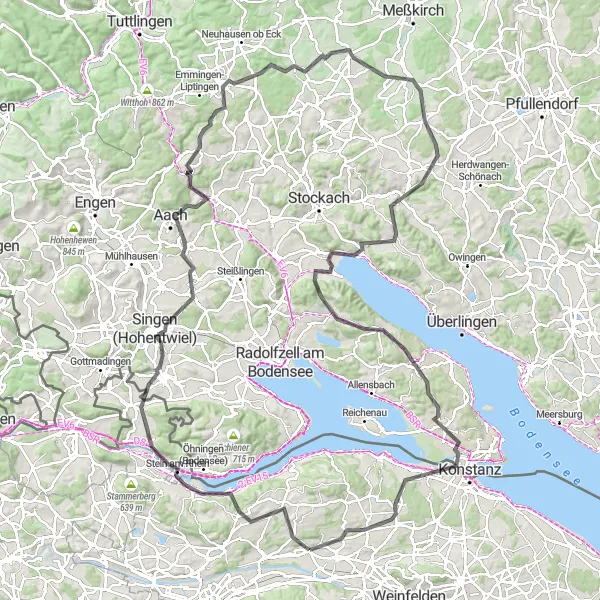
A scenic ride around Lake Constance with stunning panoramic views
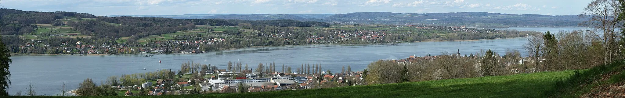
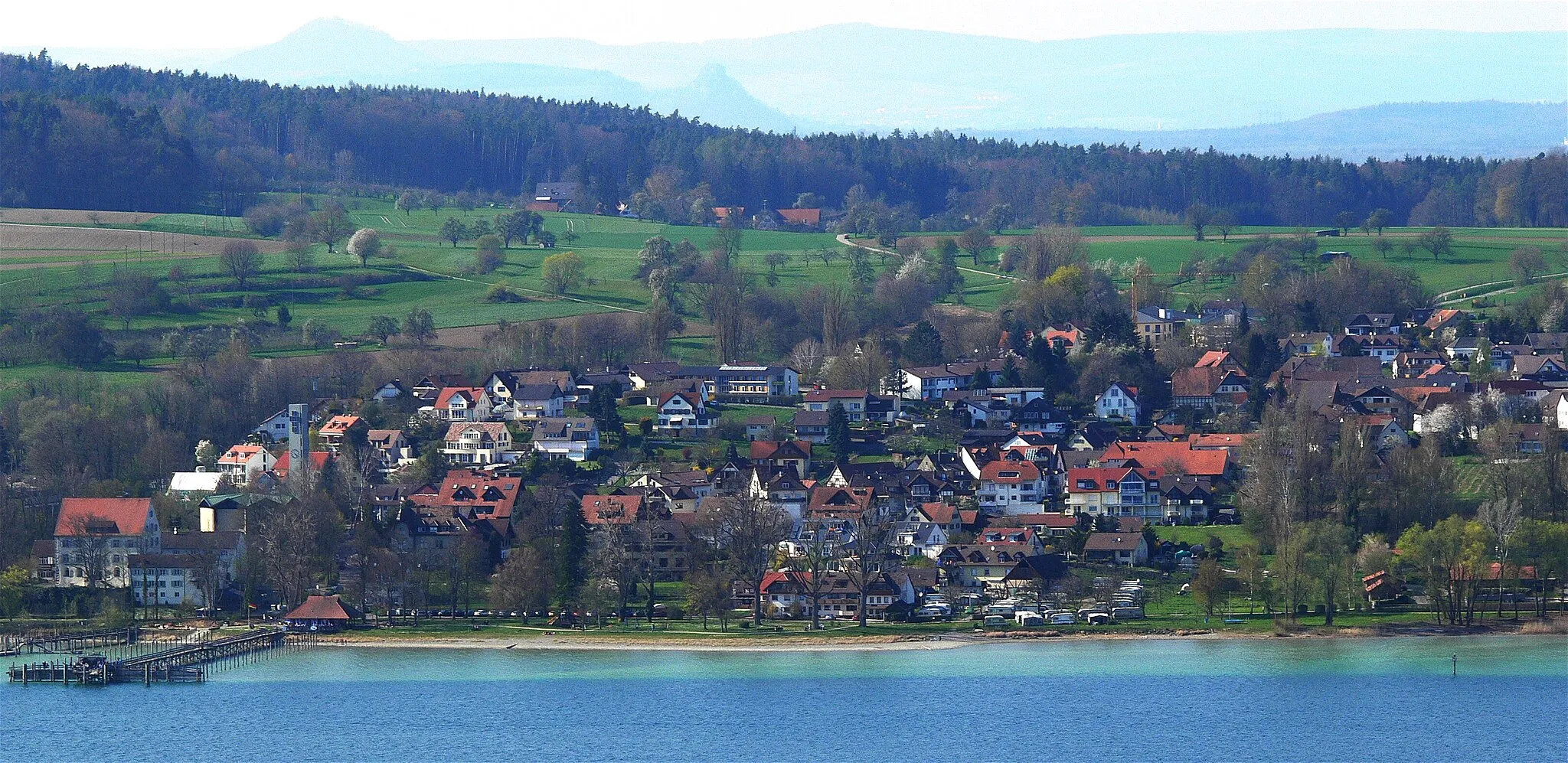
The Lake Constance Loop is a 141 km cycling route that takes you around the entire lake. With a total ascent of 1673 m, this route offers magnificent lake views and picturesque landscapes. It is suitable for road cycling and offers a mix of flat stretches and challenging climbs. The highlights of this route include the Panorama viewpoint, offering breathtaking views of Lake Constance, Stein am Rhein, a charming medieval town known for its well-preserved old town, and Ludwigshafen, where you can relax on the lakeshore.
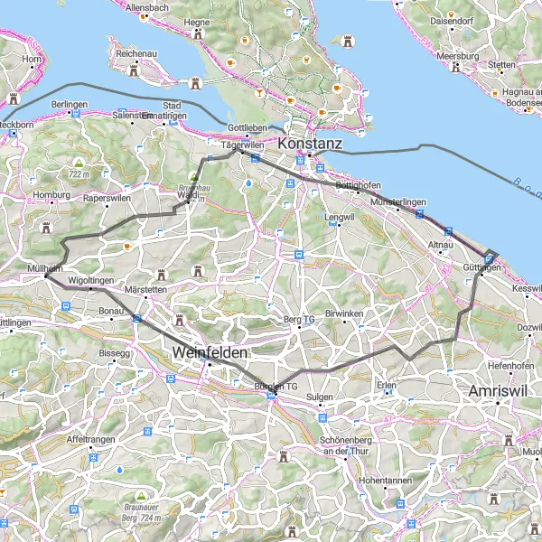
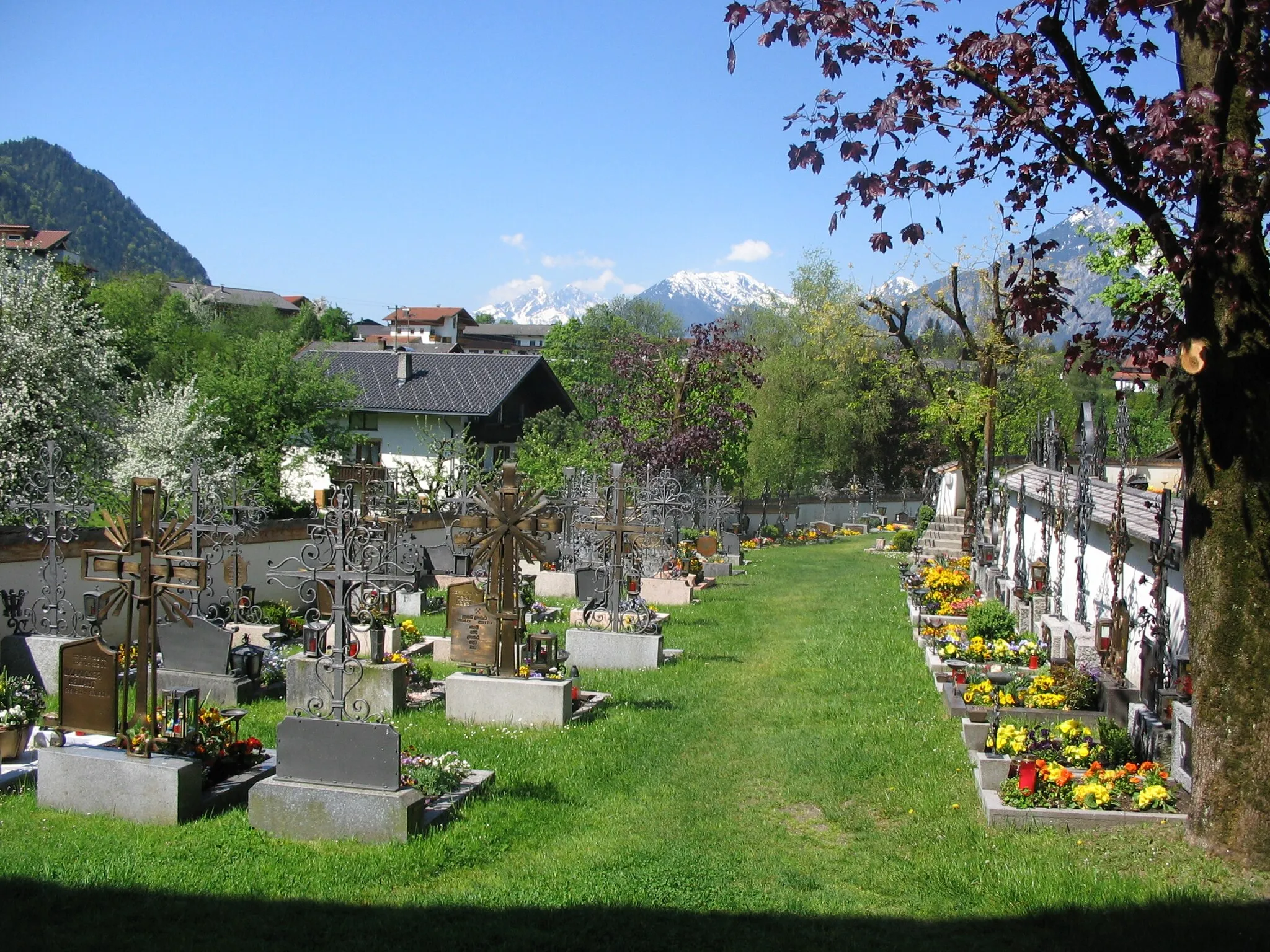
Explore historical landmarks and beautiful landscapes near Müllheim
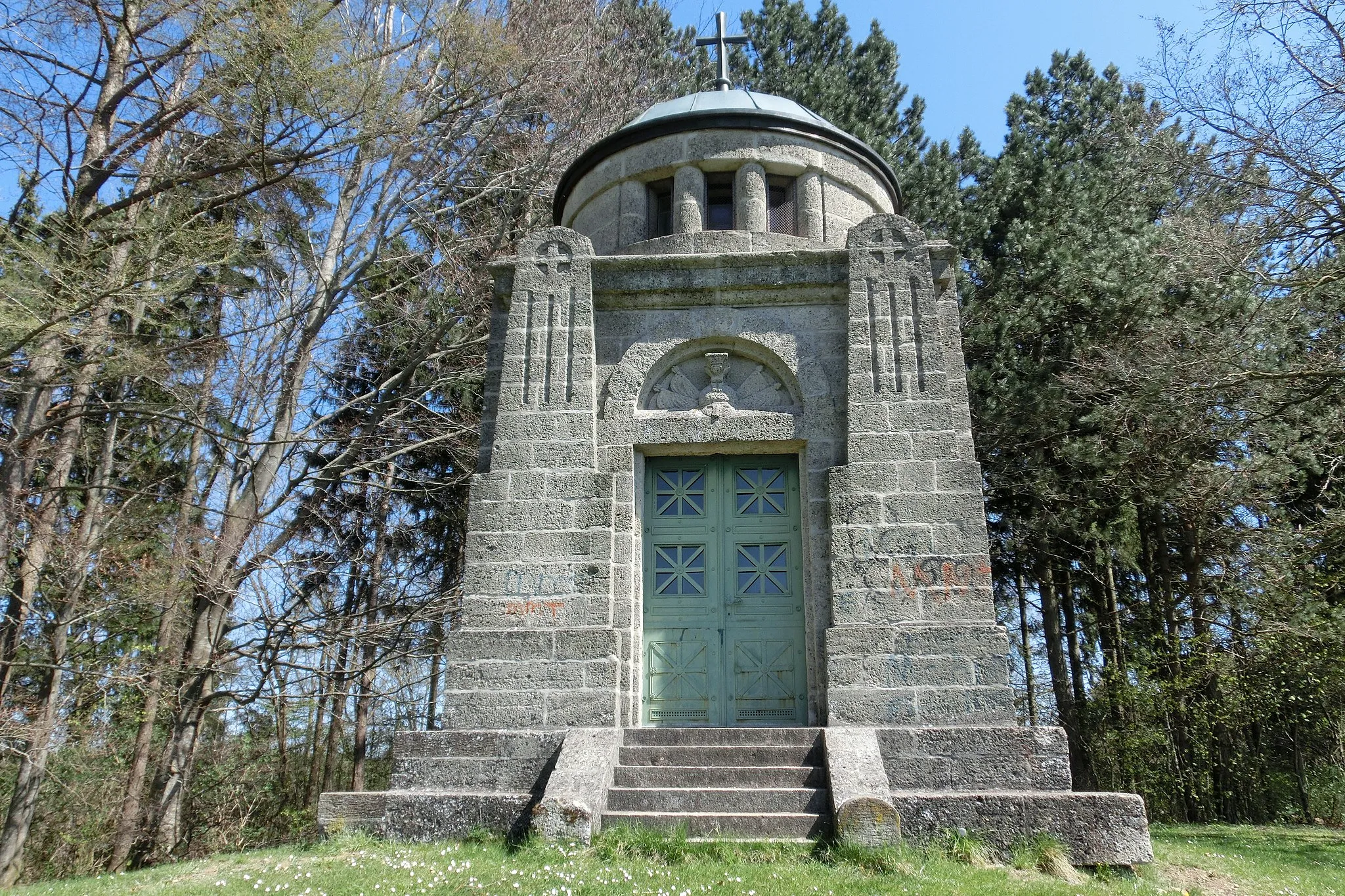
The Müllheim Historical Tour is a road cycling route that offers a glimpse into the rich history and natural beauty near Müllheim. With a distance of 57 kilometers and an ascent of 442 meters, this route is suitable for leisurely rides and offers plenty of highlights to discover. Some notable points of interest include Napoleonturm, Wäldi, Kreuzlingen, Seeburgturm, Foto-Spot Station Bodensee, Kümmertshausen, and Bürglen TG.
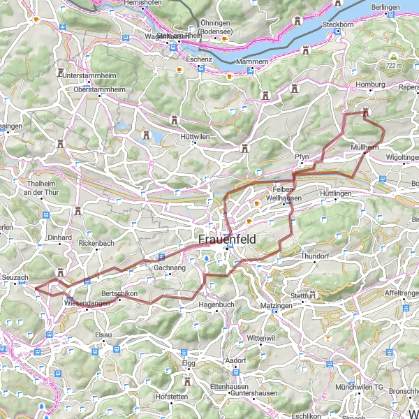
Müllheim Gravel Adventure
A thrilling gravel adventure through nature near Müllheim
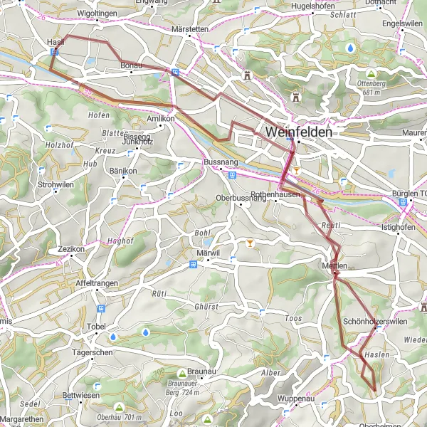
Embark on a thrilling gravel adventure near Müllheim with the Müllheim Gravel Adventure route. Covering a distance of 37 kilometers and an ascent of 382 meters, this route offers the perfect mix of off-road gravel trails and picturesque landscapes. Highlights along the route include Amlikon, Schönholzerswilen, and Wigoltingen.
Curvy Gravel Ride
An adventurous gravel ride with scenic views of Thurgau
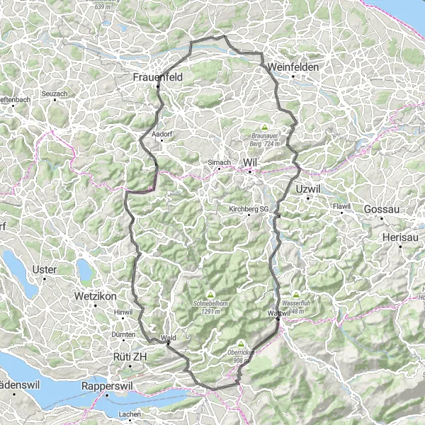
The Curvy Gravel Ride is a 72 km cycling route that takes you through the scenic Thurgau region. With a total ascent of 1180 m, this gravel route offers a mix of challenging climbs and fast descents. It is perfect for gravel enthusiasts looking to explore the picturesque countryside. The highlights of this route include Affeltrangen, a charming village known for its traditional Swiss wooden houses, Trunger Holz, a dense forest with beautiful trails, and Pfyn, a nature reserve rich in biodiversity.
Experience scenic views and cultural heritage on the Müllheim Scenic Gravel Route
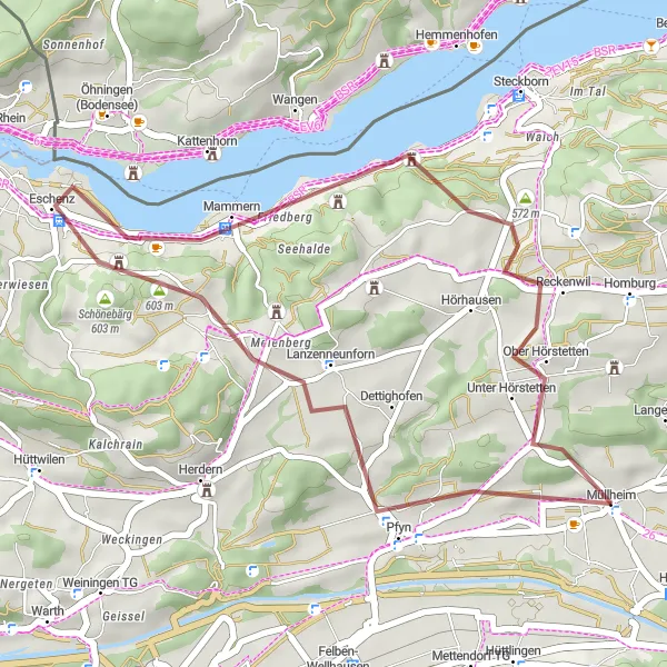
The Müllheim Scenic Gravel Route offers breathtaking views of the surrounding nature and cultural heritage sites near Müllheim. With a distance of 30 kilometers and an ascent of 500 meters, this gravel route is suitable for intermediate cyclists seeking adventure. Highlights along the route include Luegi, Eschenz, Schloss Glarisegg, and Panorama.
A challenging route with stunning mountain views and famous cycling spots
The Müllheim Mountain Challenge is a thrilling road cycling route that will test your endurance with a distance of 125 kilometers and an ascent of 1817 meters. Suitable for highly trained amateur cyclists, this route offers breathtaking mountain views and takes you through notable highlights such as Bahnhofbrücke, Grüneck, Amlikon, Wuppenau, Lichtensteig, Uznach, Bachtelhörnli, Bäretswil, Chapf, Elgg, and Frauenfeld.
Cycling routes nearby:
Nearby regions: