Müllheim Adventure
A gravel cycling route starting from Mullheim
An adventurous gravel ride starting in Müllheim and exploring the surrounding region
Map
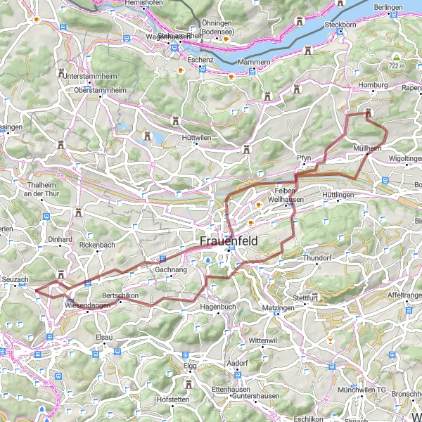
The Müllheim Adventure is a 59 km gravel route that starts and ends in the charming town of Müllheim. With an ascent of 717 m, this route offers a mix of challenging climbs and thrilling descents. It is suitable for gravel bikers looking for a dose of adventure and beautiful landscapes. The highlights of this route include the Panorama viewpoint, offering breathtaking views of the surrounding countryside, Stählibuckturm, a lookout tower with panoramic views, and Schloss Klingenberg, a picturesque castle with a rich history.
gravel
59 km
717 m
Chill
Route profile
Highlights on the route
0 km
0 km
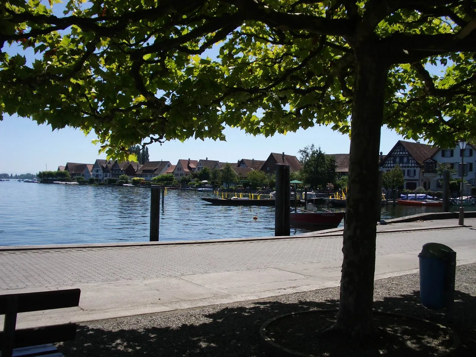
Start: Langenhart Village centerMüllheim: Discover Müllheim: Scenic routes and off-road trails in a charming Swiss locality.
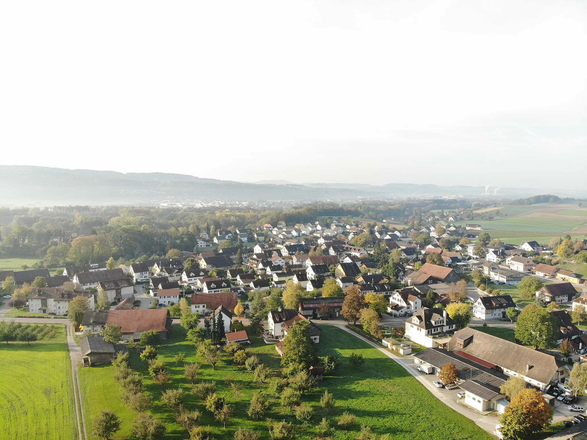
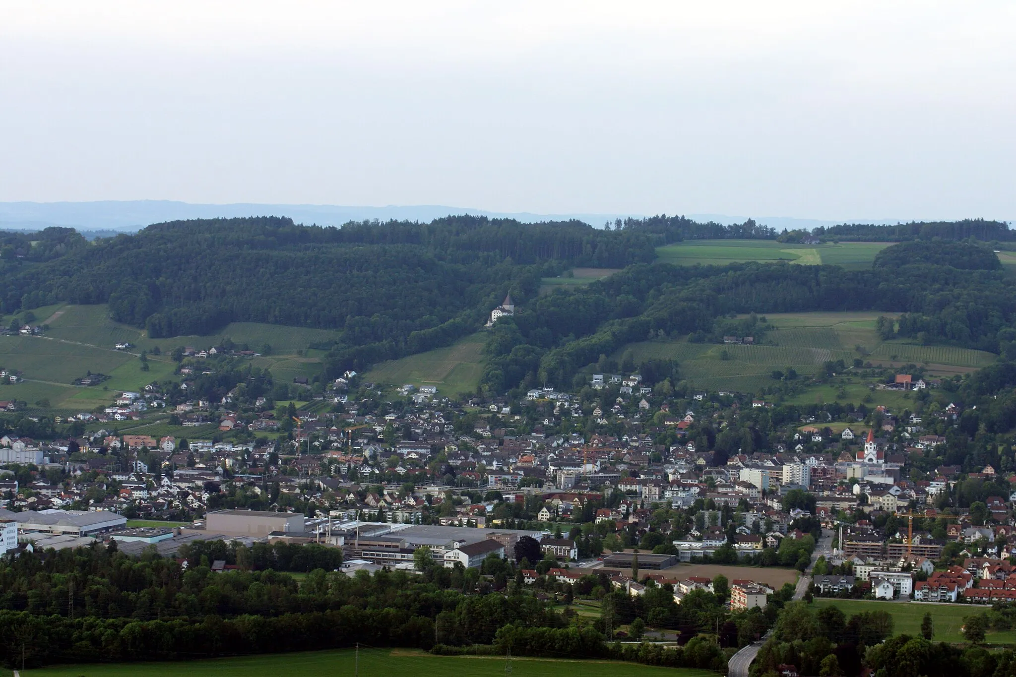
Müllheim is a locality situated in Ostschweiz, Switzerland. For cyclists, Müllheim offers a diverse range of cycling opportunities. The region has a well-maintained network of roads suitable for road cycling, with scenic routes that pass through picturesque villages and countryside. In addition, there are also gravel paths and off-road trails available for gravel cyclists. Müllheim is not particularly renowned for its famous cycling spots or well-known climbs, but it provides a pleasant cycling experience in a beautiful Swiss setting.2 km
2 km
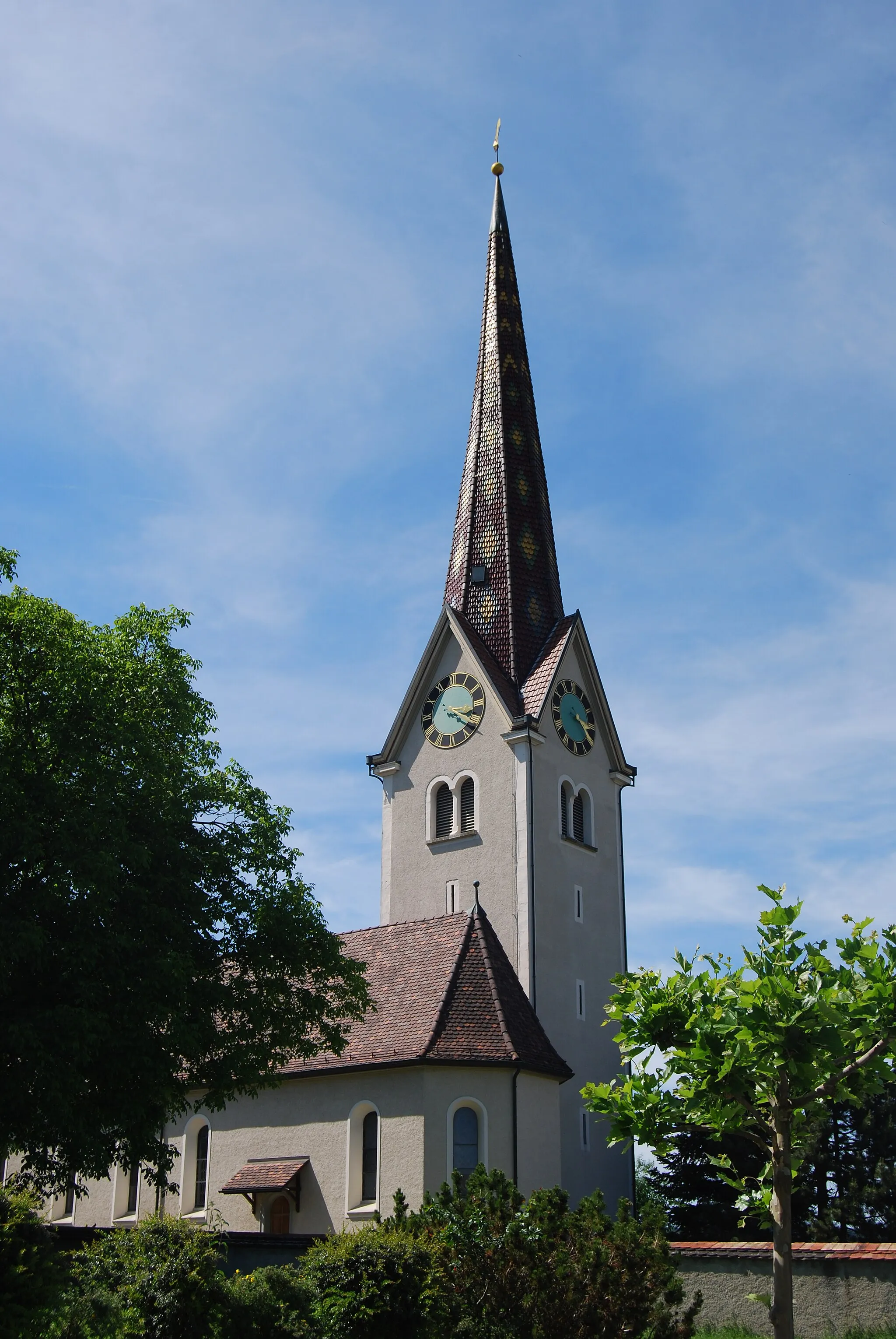
MüllheimVillageMüllheim is a charming town that serves as the starting point for this adventure.
14 km
14 km
LindenparkViewpointLindenpark is a peaceful oasis in Müllheim, perfect for a short break before continuing the ride.
31 km
31 km
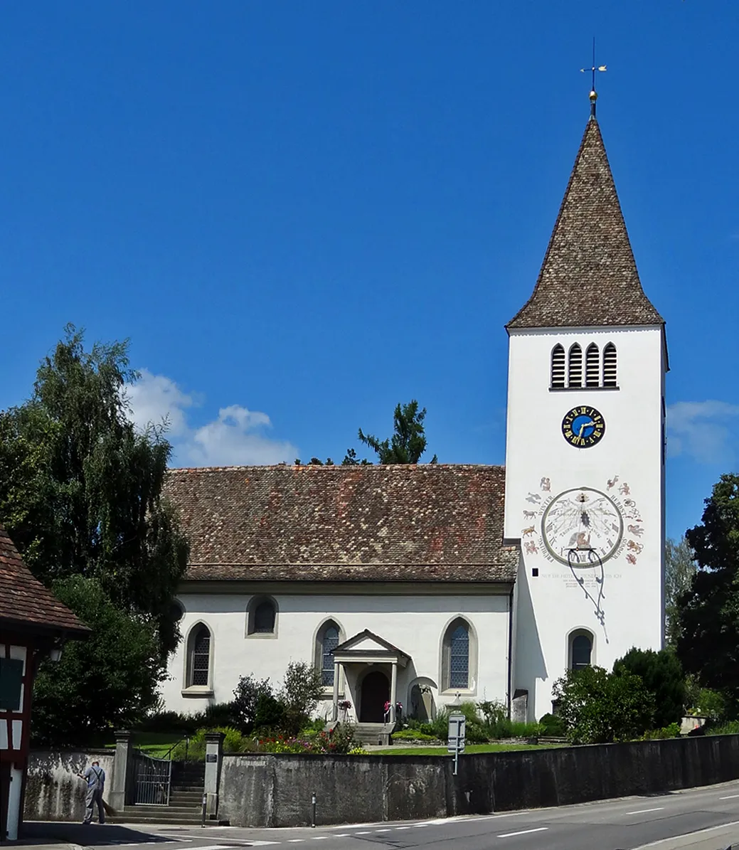
WiesendangenVillageWiesendangen is a small village with a tranquil atmosphere and beautiful traditional Swiss houses.
46 km
46 km
StählibuckturmViewpointStählibuckturm is a lookout tower situated on a hill, offering panoramic views of the surrounding landscapes.
49 km
49 km
Felben-WellhausenVillageFelben-Wellhausen is a quaint village with well-preserved historic buildings and charming narrow streets.
56 km
56 km
PanoramaViewpointPanorama offers stunning views of the nearby hills and valleys, making it a perfect spot to take in the natural beauty.
58 km
58 km
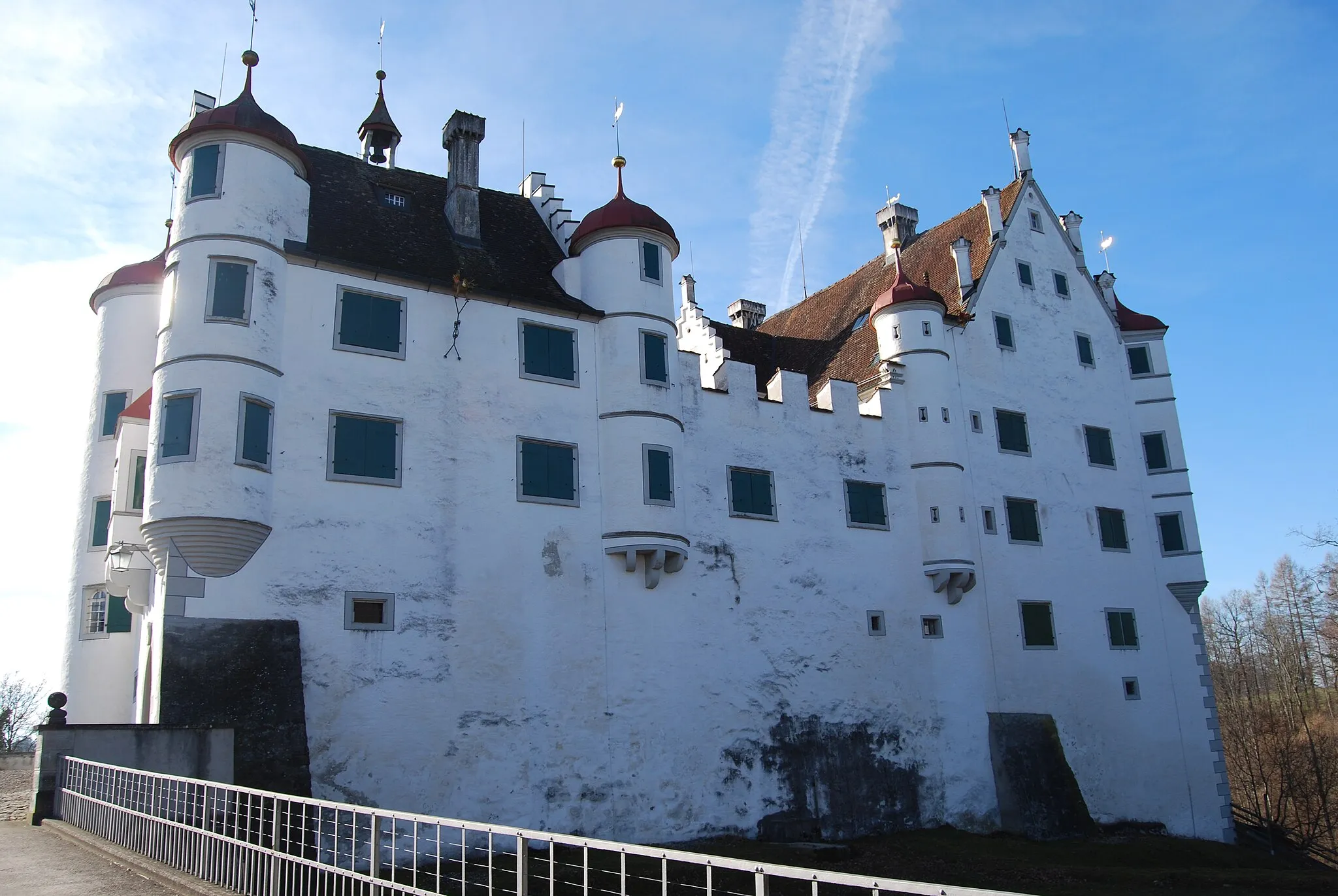
Schloss KlingenbergCastleSchloss Klingenberg is an impressive castle that dates back to the 13th century, offering a glimpse into the region's rich history and architectural heritage.
59 km
59 km
Finish: Langenhart Village centerMüllheim: Discover Müllheim: Scenic routes and off-road trails in a charming Swiss locality.
Cycling routes from Mullheim:
Cycling routes nearby: