Müllheim Historical Tour
A road cycling route starting from Mullheim
Explore historical landmarks and beautiful landscapes near Müllheim
Map
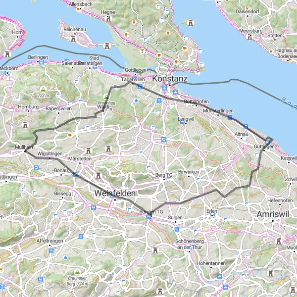
The Müllheim Historical Tour is a road cycling route that offers a glimpse into the rich history and natural beauty near Müllheim. With a distance of 57 kilometers and an ascent of 442 meters, this route is suitable for leisurely rides and offers plenty of highlights to discover. Some notable points of interest include Napoleonturm, Wäldi, Kreuzlingen, Seeburgturm, Foto-Spot Station Bodensee, Kümmertshausen, and Bürglen TG.
road
57 km
442 m
Chill
Route profile
Highlights on the route
0 km
0 km
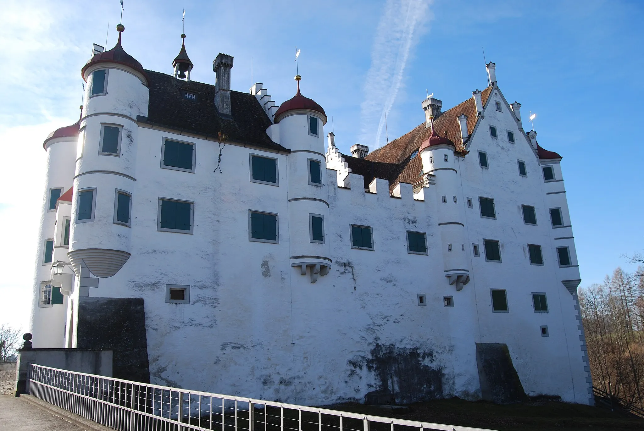
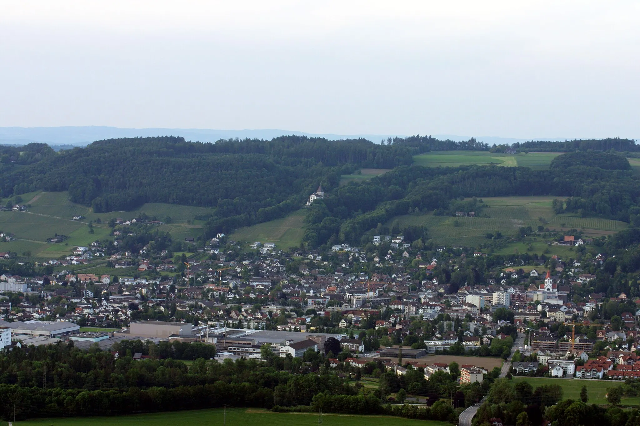
Start: Müllheim Village centerMüllheim: Discover Müllheim: Scenic routes and off-road trails in a charming Swiss locality.
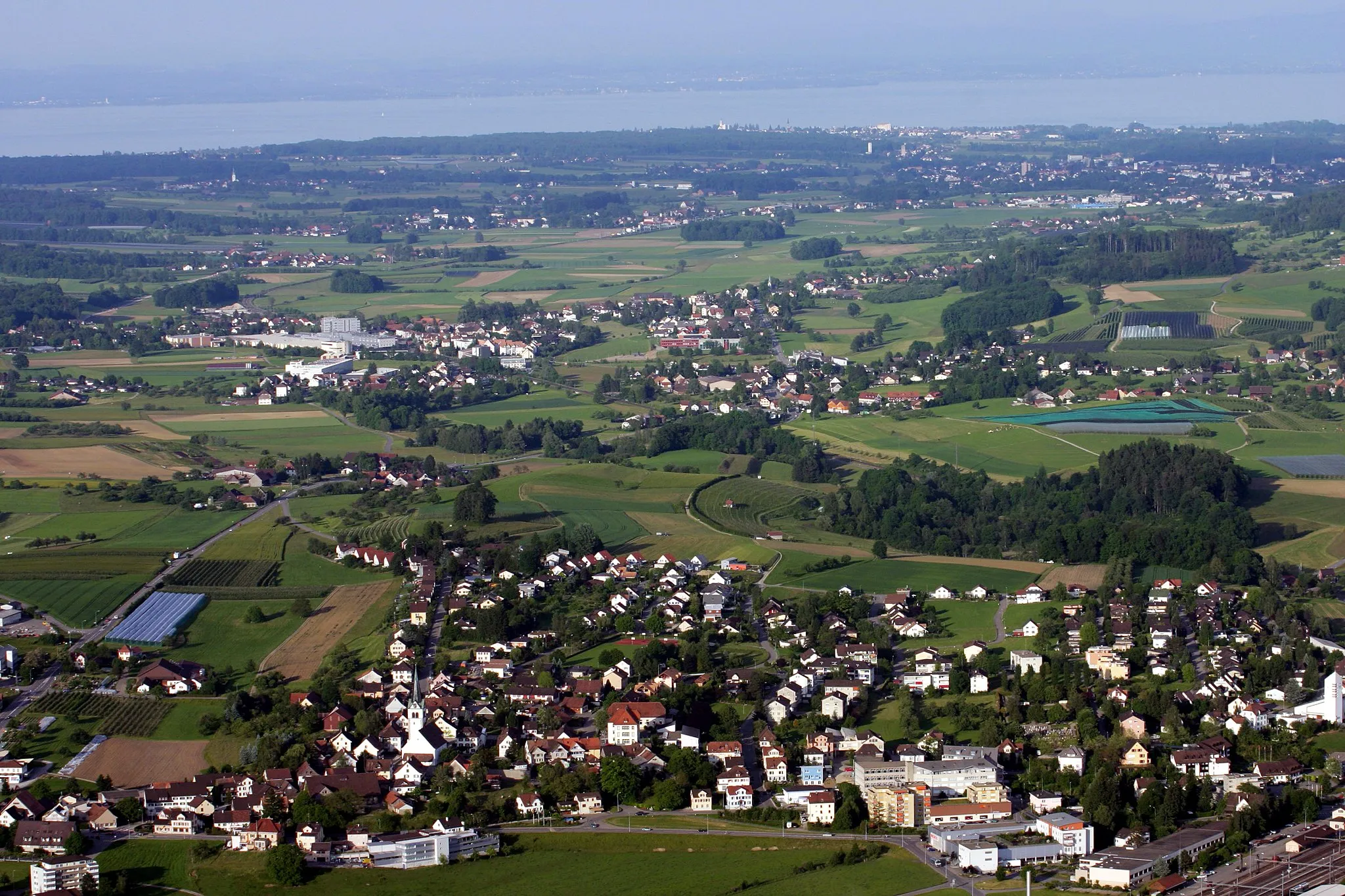
Müllheim is a locality situated in Ostschweiz, Switzerland. For cyclists, Müllheim offers a diverse range of cycling opportunities. The region has a well-maintained network of roads suitable for road cycling, with scenic routes that pass through picturesque villages and countryside. In addition, there are also gravel paths and off-road trails available for gravel cyclists. Müllheim is not particularly renowned for its famous cycling spots or well-known climbs, but it provides a pleasant cycling experience in a beautiful Swiss setting.9 km
9 km
NapoleonturmViewpointNapoleonturm: Climb up the Napoleonturm and enjoy panoramic views of Lake Constance and the surrounding countryside.
9 km
9 km
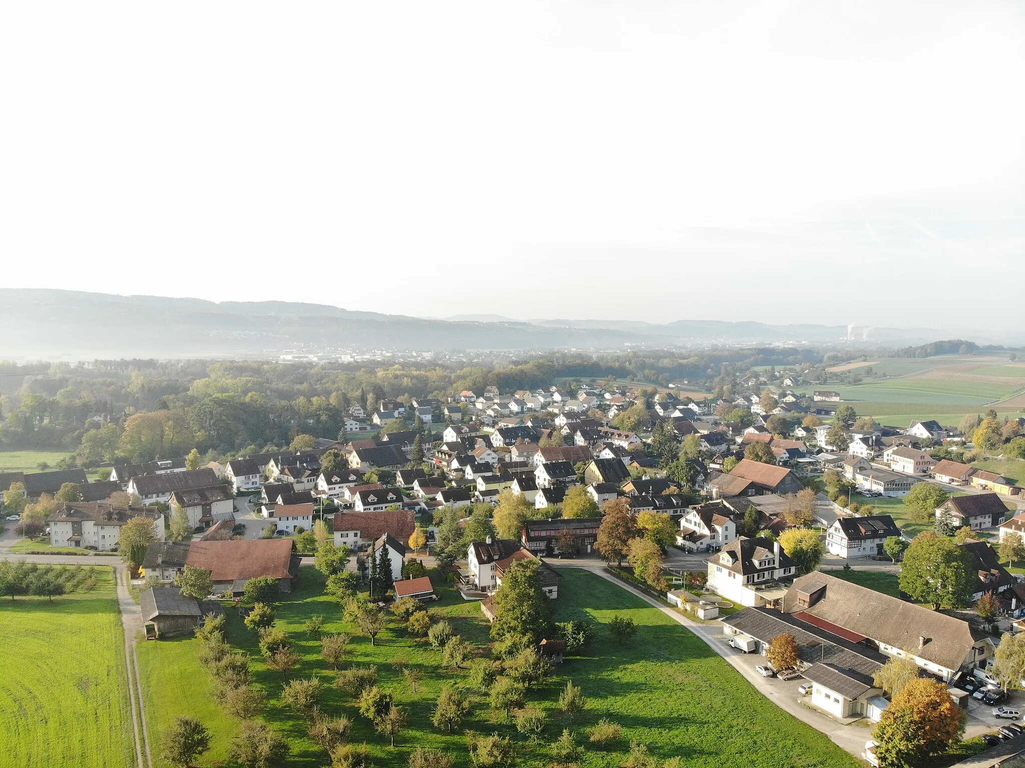
WäldiVillageWäldi: Explore the tranquil village of Wäldi and its beautifully preserved traditional Swiss architecture.
17 km
17 km
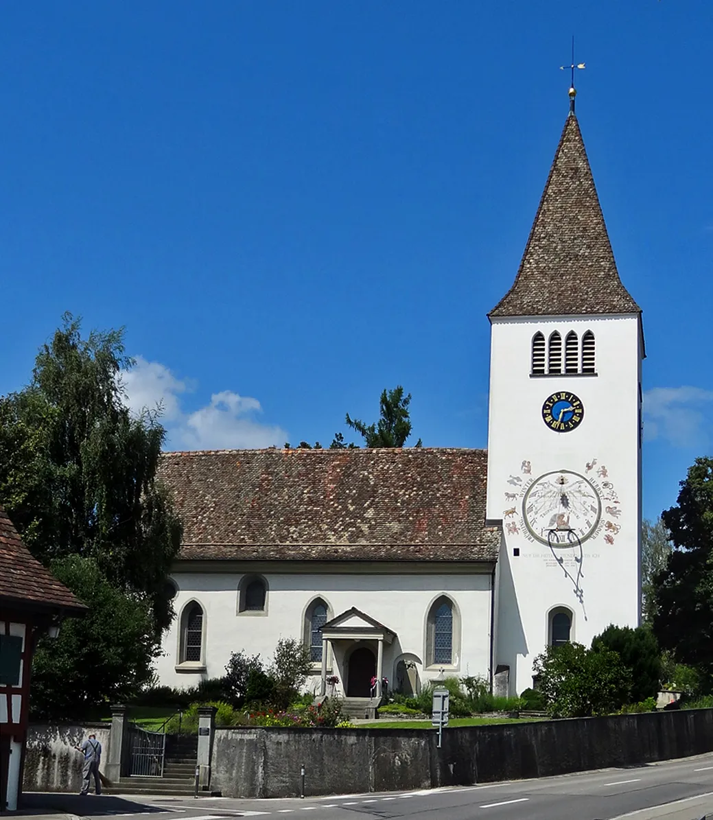
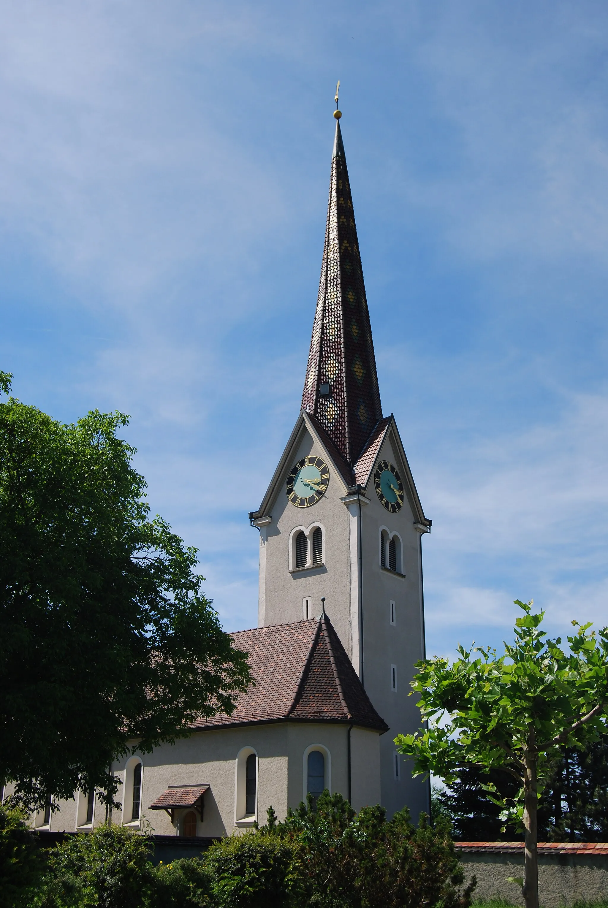
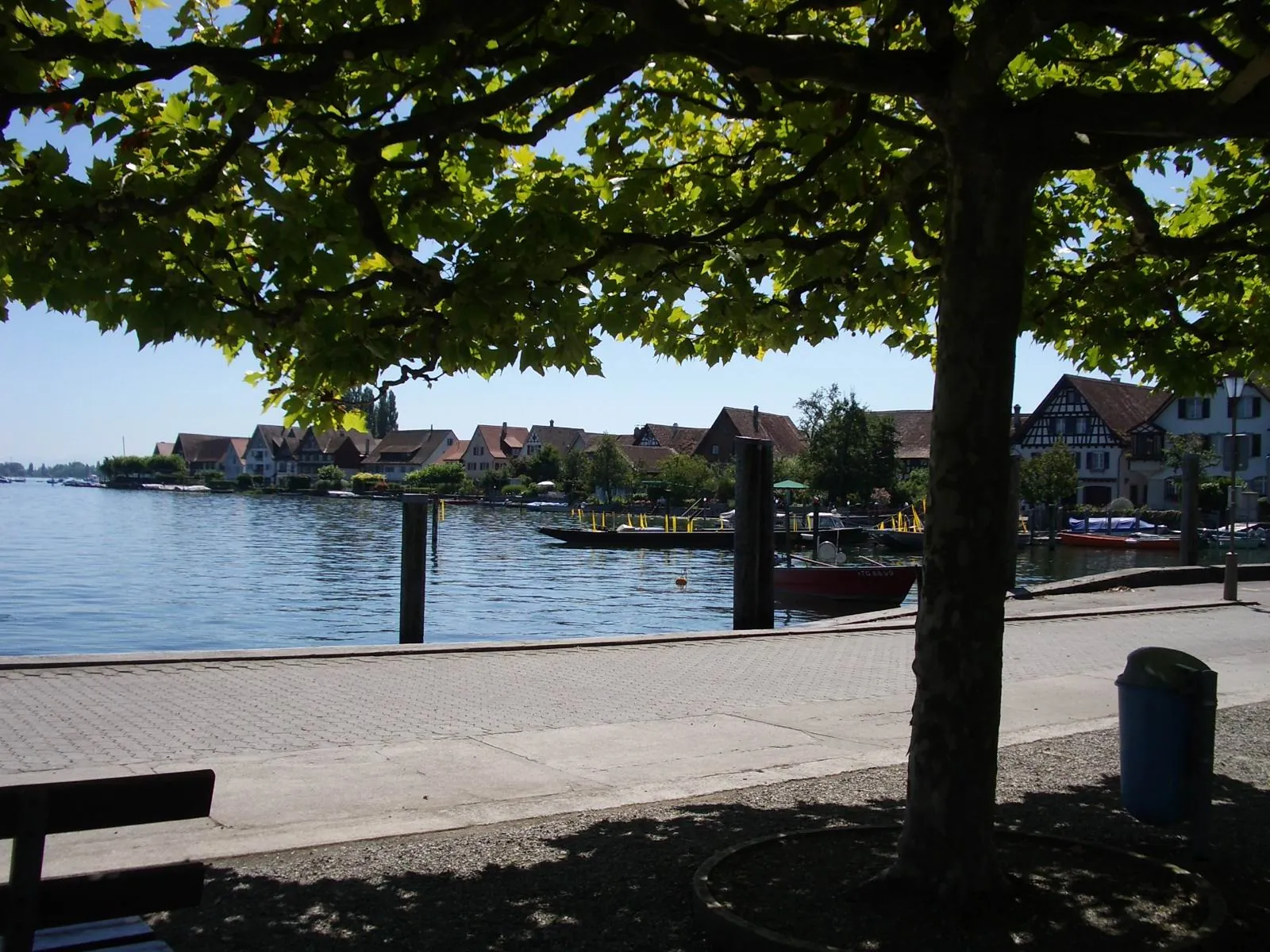
KreuzlingenTownKreuzlingen: Discover the charming town of Kreuzlingen on the shores of Lake Constance and visit its impressive Gothic church.
18 km
18 km
SeeburgturmViewpointSeeburgturm: Admire the stunning views from the Seeburgturm tower, overlooking Lake Constance and the countryside.
25 km
25 km
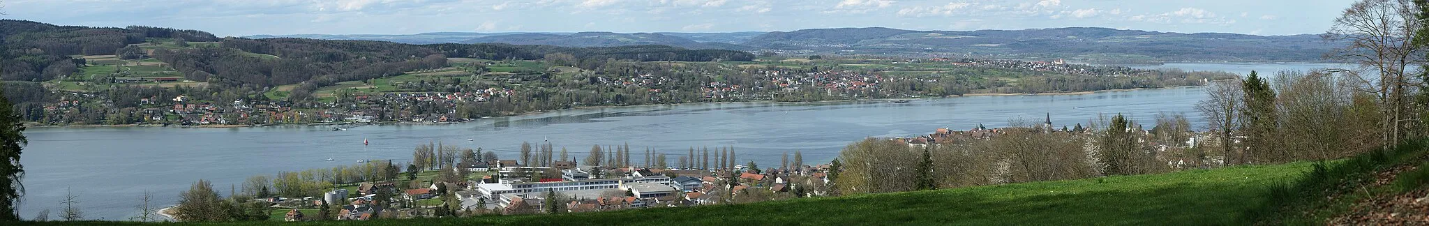
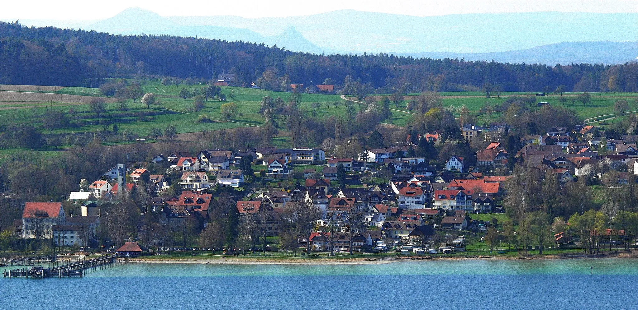
Foto-Spot Station BodenseeViewpointFoto-Spot Station Bodensee: Capture memorable moments at this scenic photo spot on the shores of Lake Constance.
36 km
36 km
KümmertshausenVillageKümmertshausen: Cycle through picturesque countryside and charming rural landscapes on your way to Kümmertshausen.
43 km
43 km
Bürglen TGVillageBürglen TG: Visit Bürglen with its historical buildings and friendly atmosphere, and enjoy a relaxing break in this picturesque town.
57 km
57 km
Finish: Müllheim Village centerMüllheim: Discover Müllheim: Scenic routes and off-road trails in a charming Swiss locality.
Cycling routes from Mullheim:
Cycling routes nearby: