Lake Constance Loop
A road cycling route starting from Mullheim
A scenic ride around Lake Constance with stunning panoramic views
Map
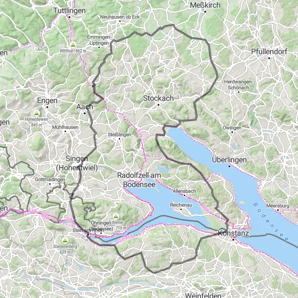
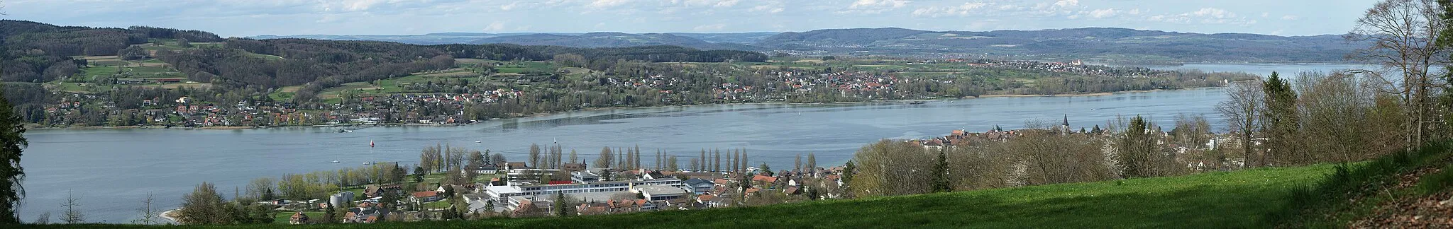
The Lake Constance Loop is a 141 km cycling route that takes you around the entire lake. With a total ascent of 1673 m, this route offers magnificent lake views and picturesque landscapes. It is suitable for road cycling and offers a mix of flat stretches and challenging climbs. The highlights of this route include the Panorama viewpoint, offering breathtaking views of Lake Constance, Stein am Rhein, a charming medieval town known for its well-preserved old town, and Ludwigshafen, where you can relax on the lakeshore.
road
141 km
1673 m
Tough
Route profile
Highlights on the route
0 km
0 km
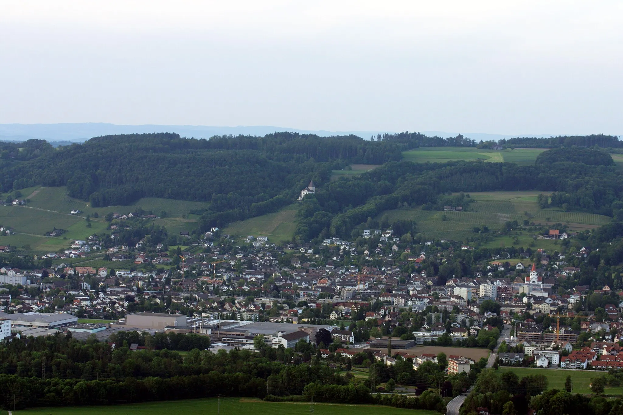
Start: Müllheim Village centerMüllheim: Discover Müllheim: Scenic routes and off-road trails in a charming Swiss locality.
Müllheim is a locality situated in Ostschweiz, Switzerland. For cyclists, Müllheim offers a diverse range of cycling opportunities. The region has a well-maintained network of roads suitable for road cycling, with scenic routes that pass through picturesque villages and countryside. In addition, there are also gravel paths and off-road trails available for gravel cyclists. Müllheim is not particularly renowned for its famous cycling spots or well-known climbs, but it provides a pleasant cycling experience in a beautiful Swiss setting.3 km
3 km
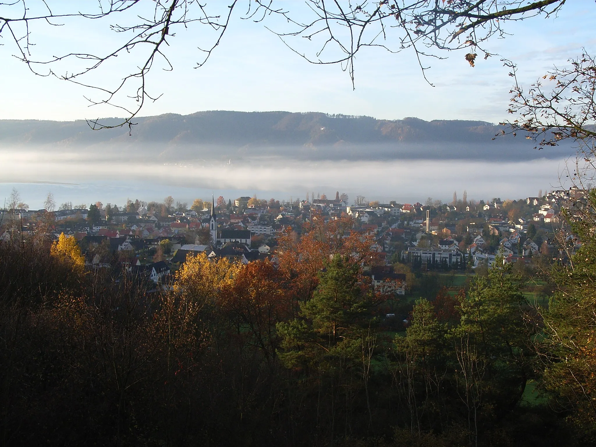
PanoramaViewpointThe Panorama viewpoint offers stunning vistas of Lake Constance.
15 km
15 km
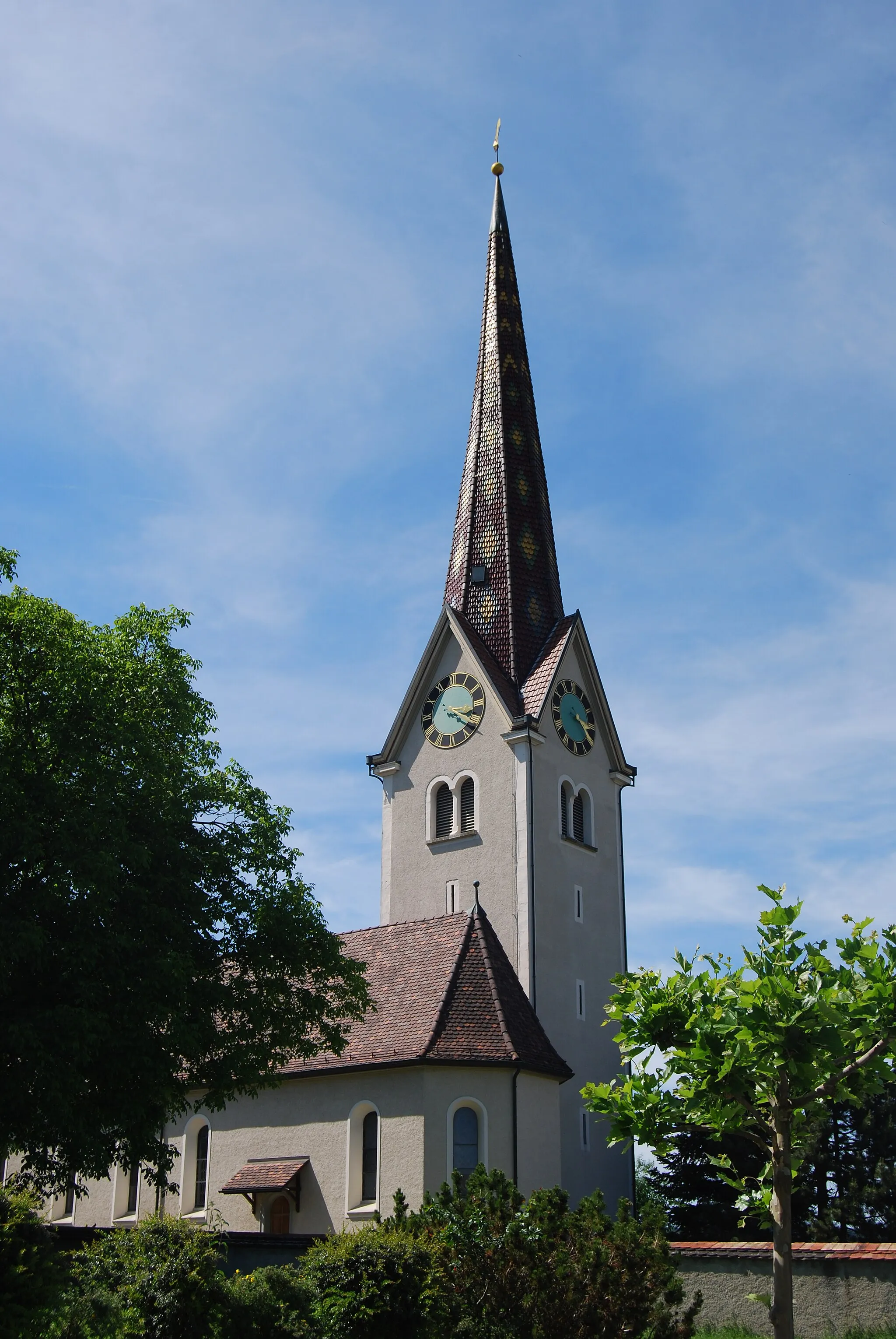
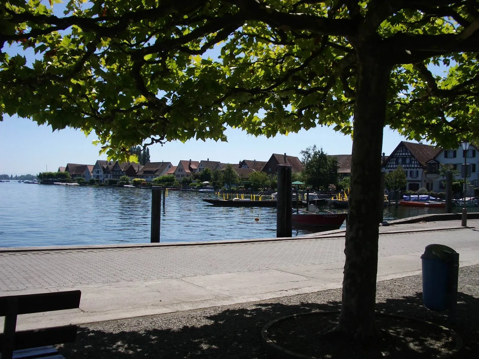
Stein am RheinAttractionStein am Rhein is a picturesque medieval town with beautifully preserved buildings.
29 km
29 km
FernseherViewpointFernseher is a local hill known for its panoramic views.
38 km
38 km
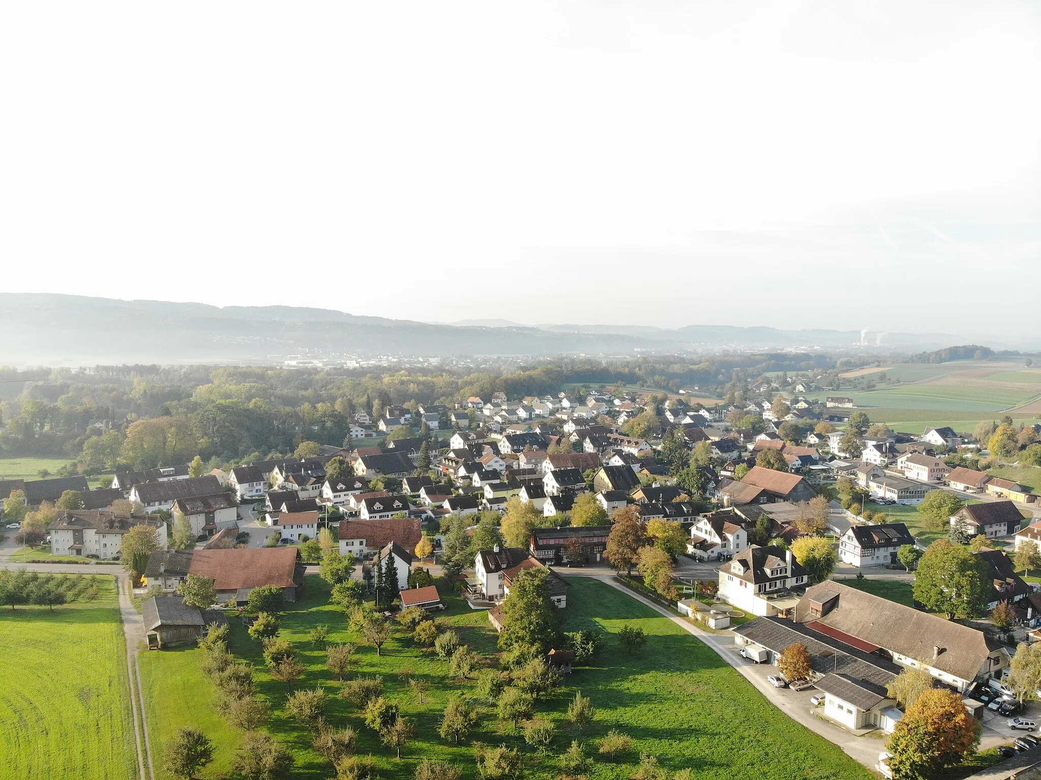
VolkertshausenVillageVolkertshausen is a quaint village surrounded by idyllic countryside.
47 km
47 km
Reschberg608 mPeakReschberg is a scenic stop along the route.
57 km
57 km
LiptingenVillageLiptingen offers beautiful landscapes and charming architecture.
76 km
76 km
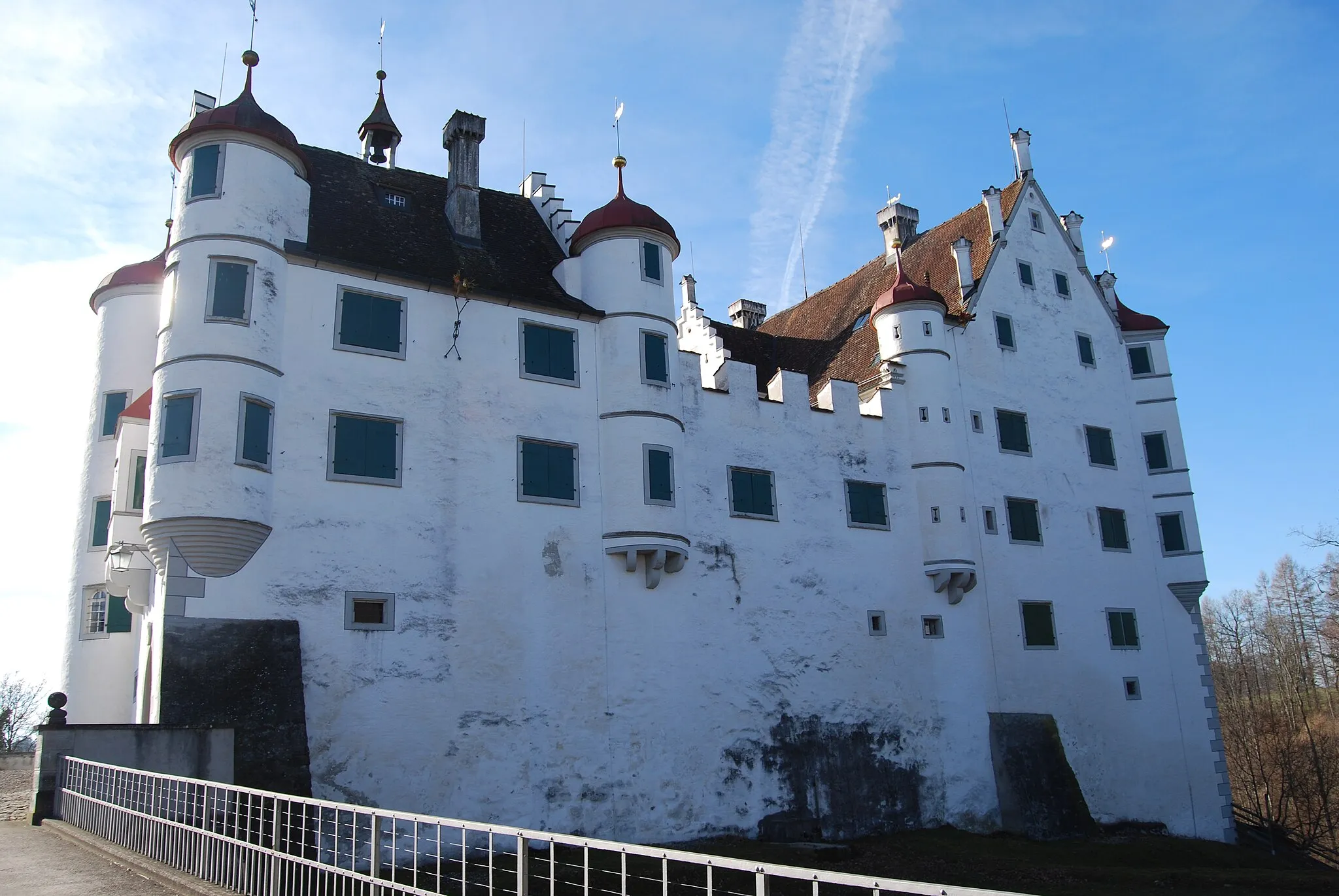
SauldorfVillageSauldorf is a small village known for its medieval castle ruins.
83 km
83 km
SelgetsweilerHamletSelgetsweiler is a serene town nestled in the rolling hills of Eastern Switzerland.
96 km
96 km
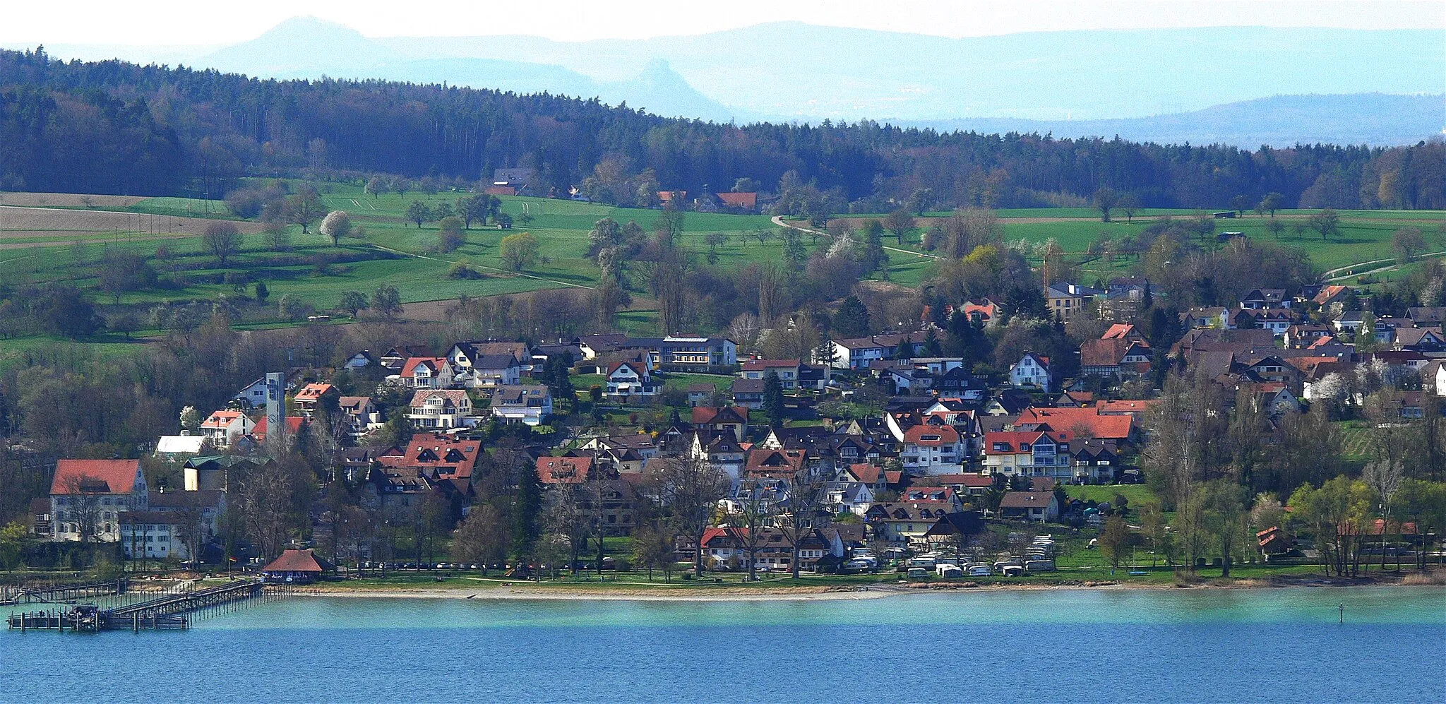
LudwigshafenVillageLudwigshafen is a popular lakeside destination with a sandy beach and clear waters.
106 km
106 km
Wolfsgrund512 mPeakWolfsgrund is a nature reserve with diverse flora and fauna.
117 km
117 km
Heckenberg508 mPeakHeckenberg is a scenic hilltop offering panoramic views of the surrounding landscape.
128 km
128 km
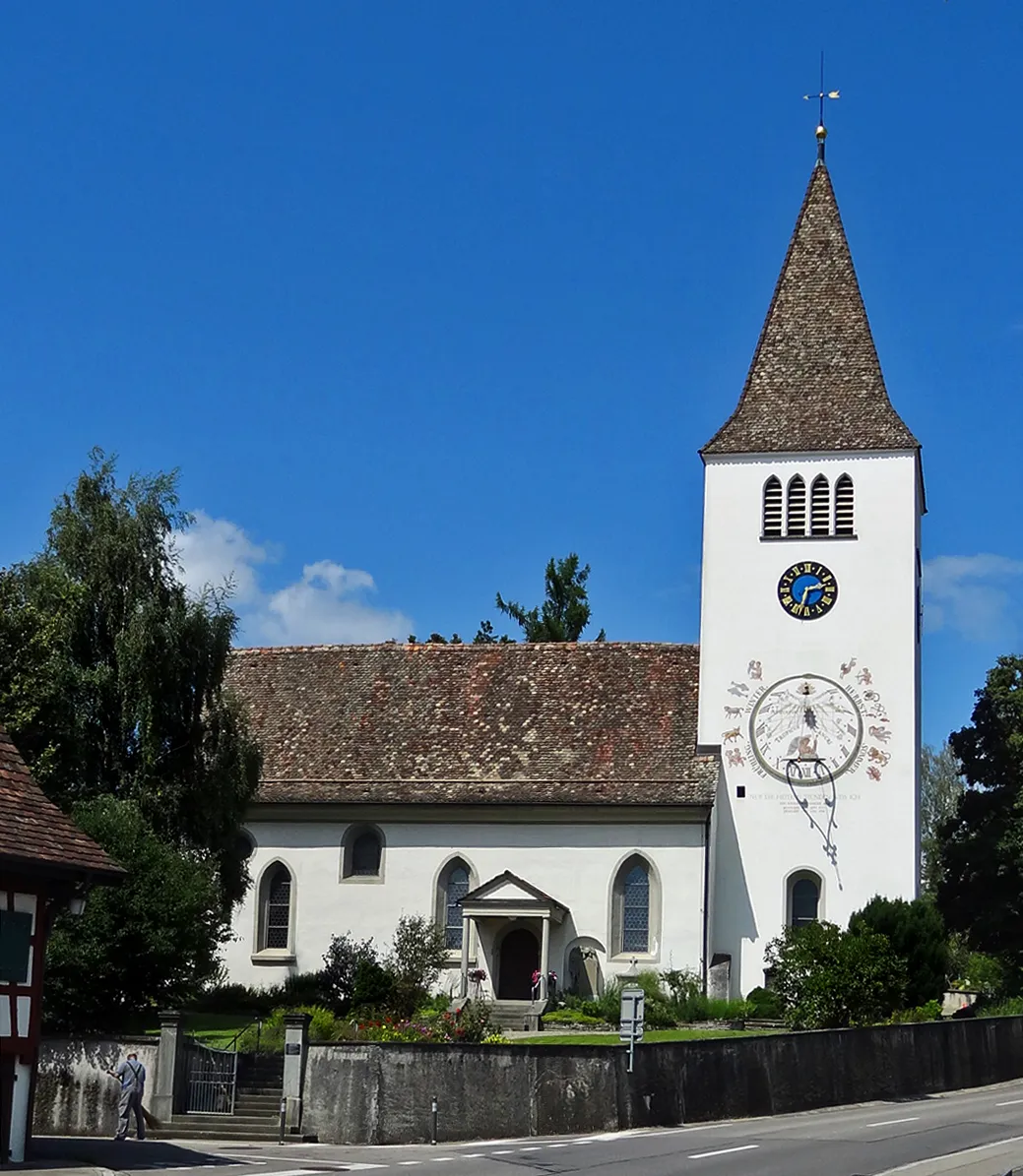
TägerwilenVillageTägerwilen is a charming lakeside village with a historic town center.
137 km
137 km
IllhartVillageIllhart is a small village known for its traditional Swiss architecture and idyllic setting.
141 km
141 km
Finish: Müllheim Village centerMüllheim: Discover Müllheim: Scenic routes and off-road trails in a charming Swiss locality.
Cycling routes from Mullheim:
Cycling routes nearby: