The Panoramic Trail
A road cycling route starting from Mullheim
Embark on a breathtaking cycling journey that offers captivating views and cultural highlights
Map
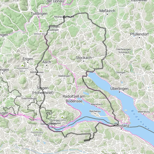
The Panoramic Trail is a must-visit cycling route near Müllheim, Switzerland. With a total distance of 153 kilometers and an ascent of 1871 meters, it is a challenging yet rewarding ride. The route takes you through picturesque countryside, charming towns, and offers stunning vistas of the surrounding landscape. For road cycling enthusiasts, this route offers diverse terrain, making it suitable for both seasoned riders and well-trained amateurs.
road
153 km
1871 m
Tough
Route profile
Highlights on the route
0 km
0 km
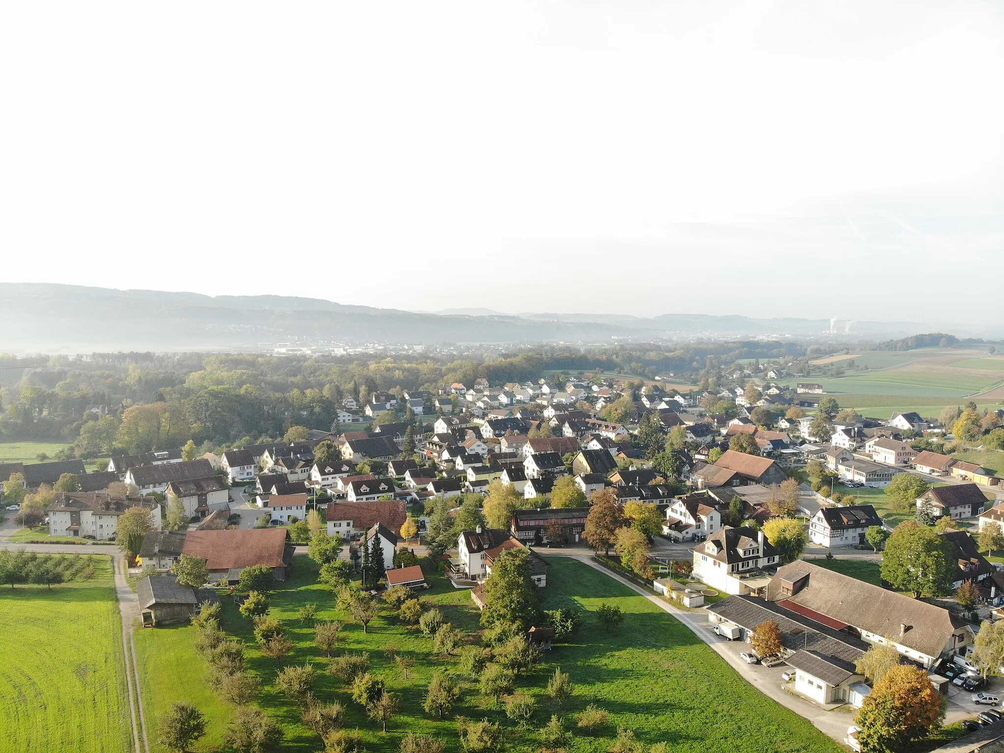
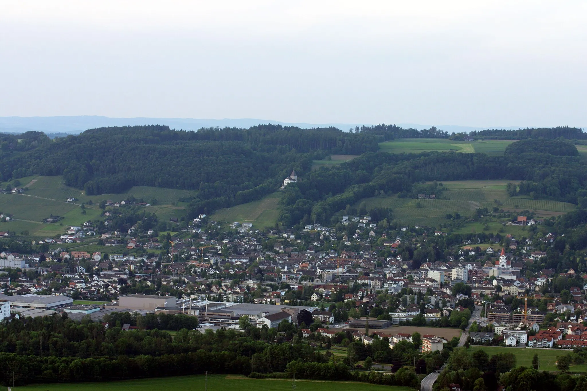
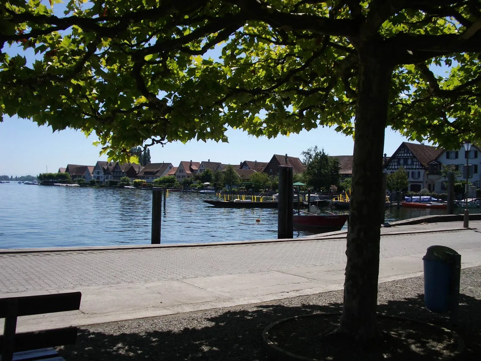
Start: Langenhart Village centerMüllheim: Discover Müllheim: Scenic routes and off-road trails in a charming Swiss locality.
Müllheim is a locality situated in Ostschweiz, Switzerland. For cyclists, Müllheim offers a diverse range of cycling opportunities. The region has a well-maintained network of roads suitable for road cycling, with scenic routes that pass through picturesque villages and countryside. In addition, there are also gravel paths and off-road trails available for gravel cyclists. Müllheim is not particularly renowned for its famous cycling spots or well-known climbs, but it provides a pleasant cycling experience in a beautiful Swiss setting.5 km
5 km
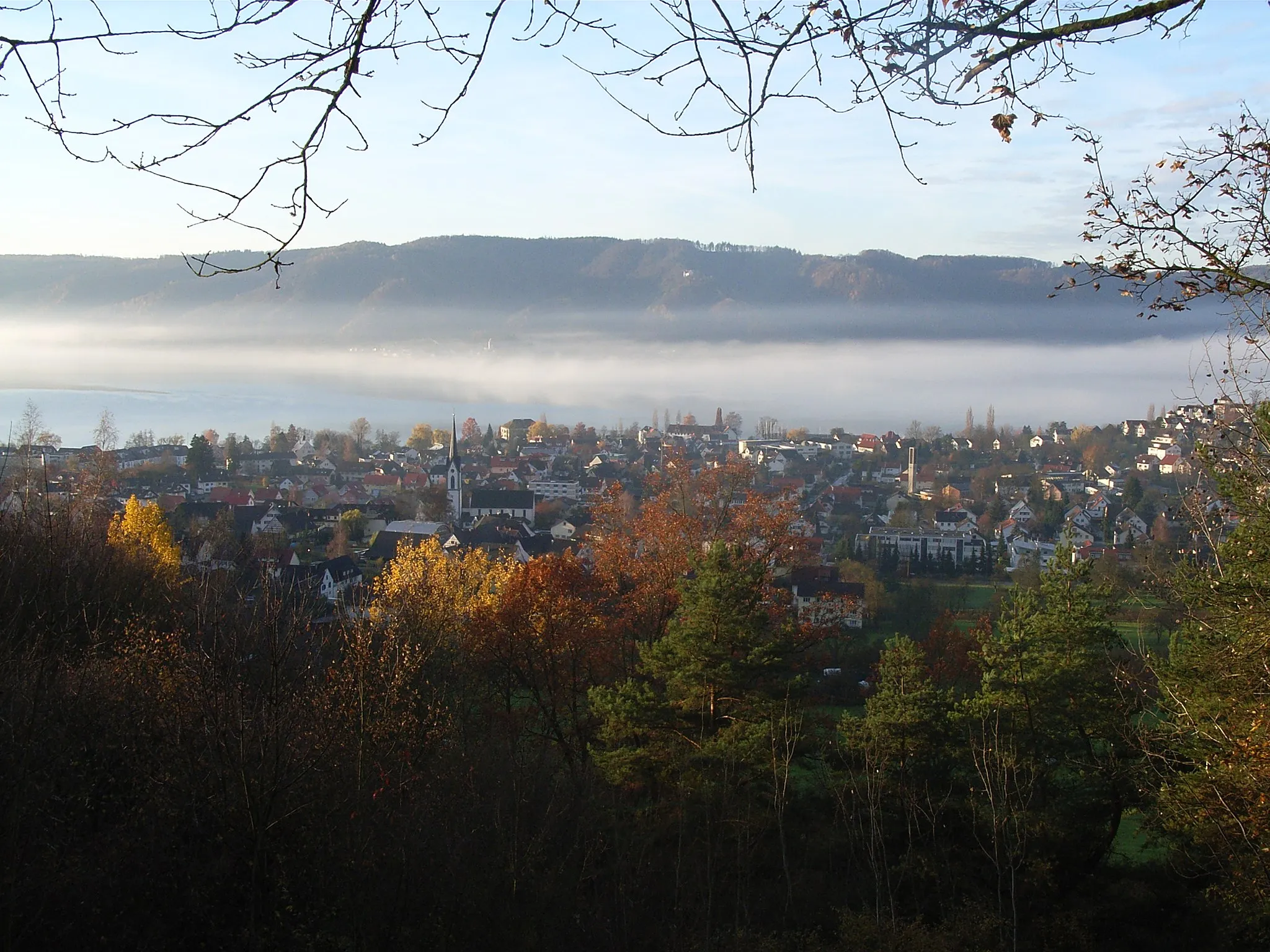
PanoramatafelViewpointDiscover the Panoramatafel, a unique viewpoint that provides an unparalleled vista of the Swiss countryside.
7 km
7 km
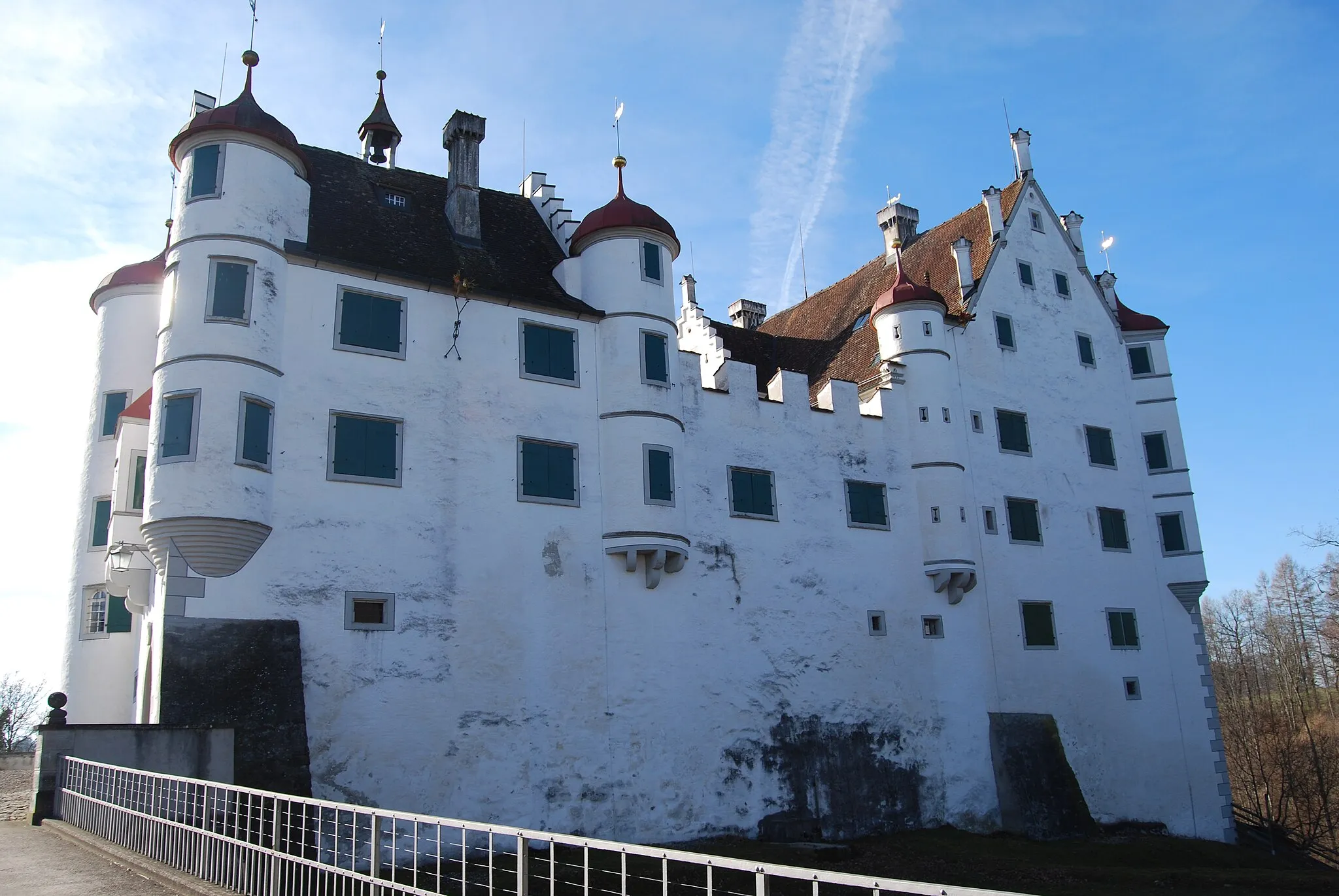
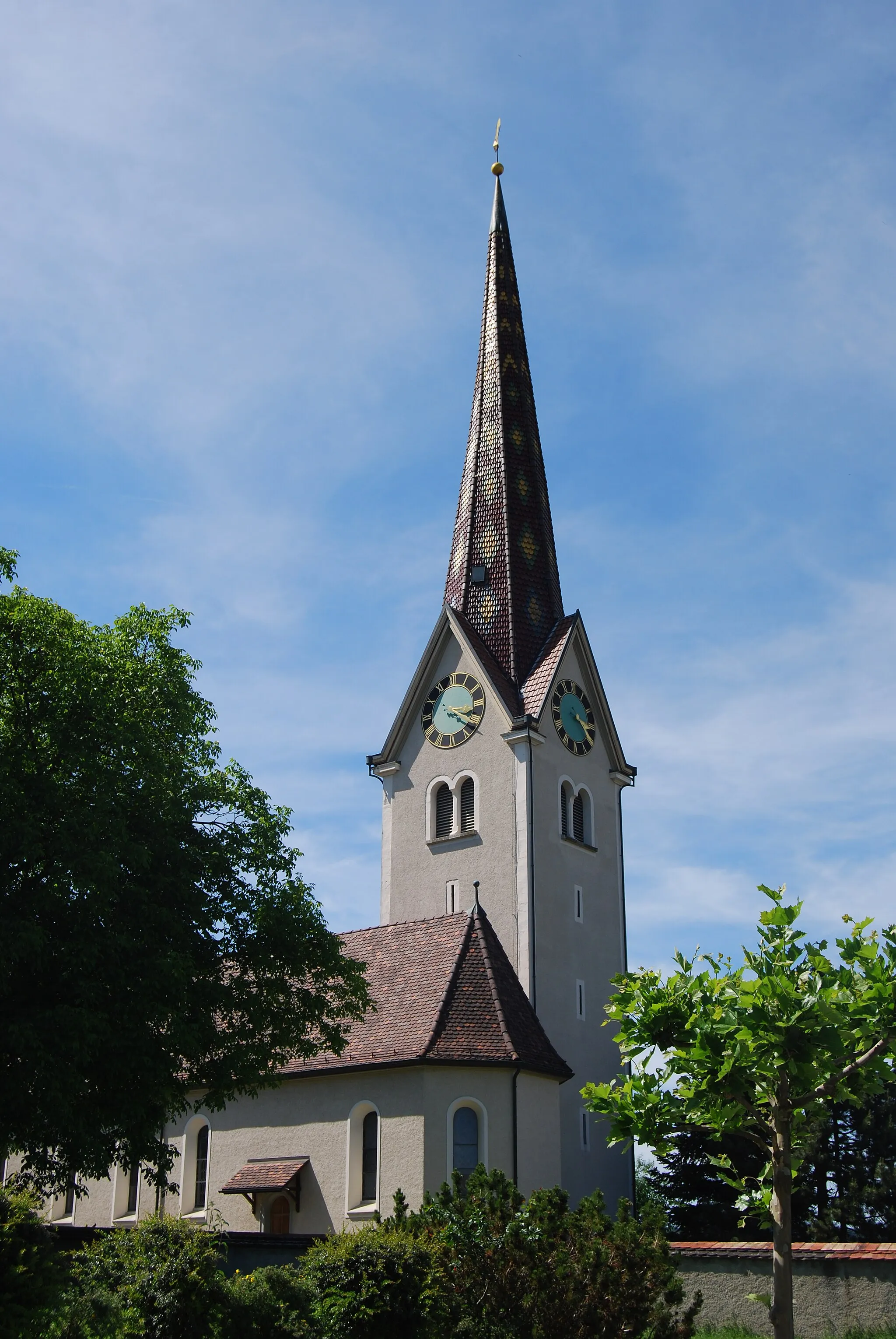
HomburgVillageExplore Homburg, a historic town known for its impressive castle and rich heritage.
24 km
24 km
Wolkensteinerberg608 mPeak ViewpointEnjoy the scenic beauty of Wolkensteinerberg, a green oasis nestled amidst rolling hills.
31 km
31 km
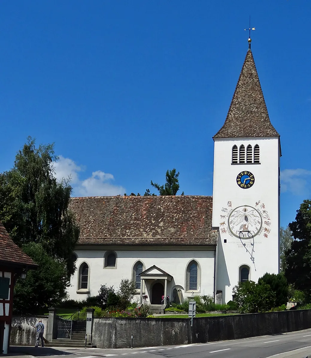
Rielasingen-WorblingenTownVisit Rielasingen-Worblingen, a charming municipality located on the banks of the Rhine River.
42 km
42 km
MühlhausenVillageCycle through Mühlhausen, a quaint village known for its traditional architecture and warm hospitality.
48 km
48 km
Schmiedsberg609 mPeakChallenge yourself with the ascent to Schmiedsberg, a steep mountain climb that rewards you with stunning views.
58 km
58 km
Rennelberg782 mPeakConquer the Rennelberg, a challenging section of the route that tests your endurance and offers a thrilling descent.
68 km
68 km
Neuhausen ob EckVillageMake a detour to Neuhausen ob Eck, a picturesque town with a rich cultural heritage and beautiful old town.
87 km
87 km
SauldorfVillageAdmire the natural beauty of Sauldorf, a peaceful village surrounded by lush green meadows.
107 km
107 km
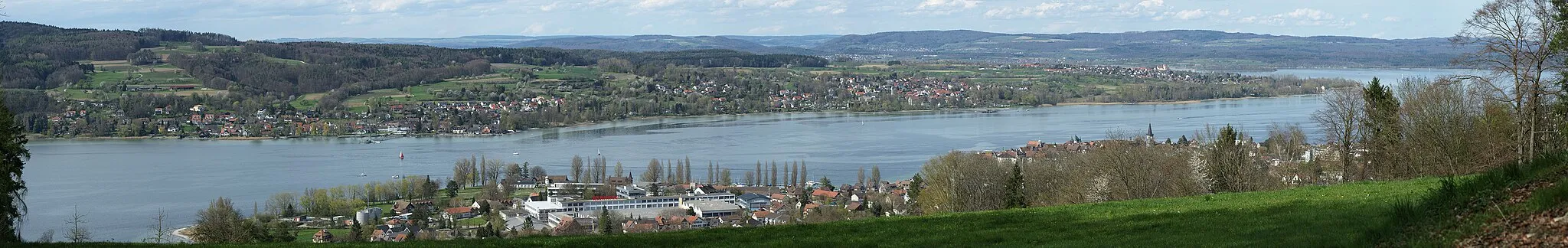
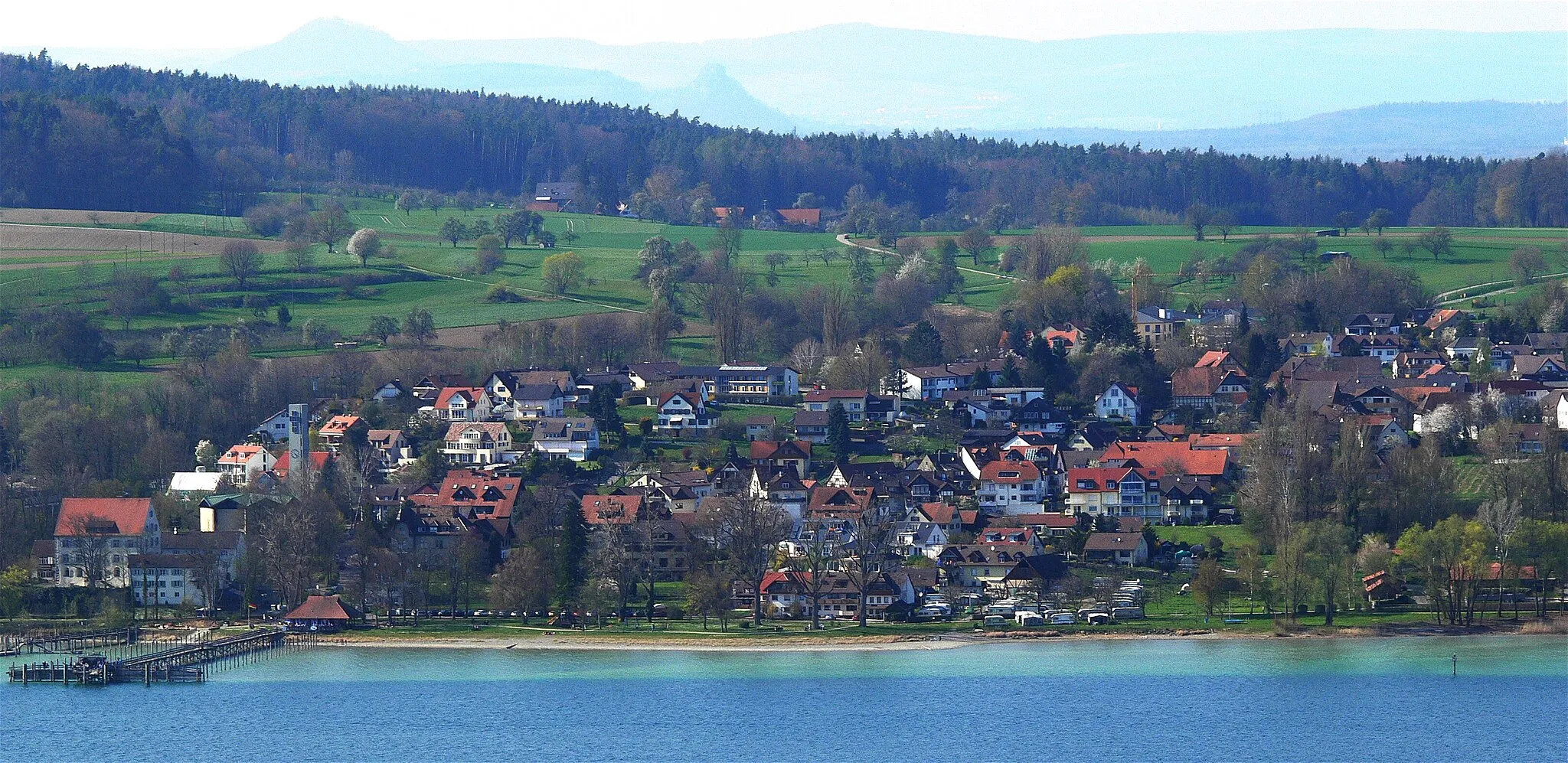
LudwigshafenVillagePass through Ludwigshafen, a small town known for its idyllic location on the shores of Lake Constance.
121 km
121 km
Schloß LangenrainCastleMarvel at the charming Schloß Langenrain, a historic castle that offers a glimpse into the region's past.
128 km
128 km
Heckenberg508 mPeakExperience the beauty of Heckenberg, a hilltop viewpoint with panoramic views of the Swiss Alps.
137 km
137 km
SonnenuntergangViewpoint138 km
138 km
TägerwilenVillage151 km
151 km
IllhartVillage153 km
153 km
Finish: Langenhart Village centerMüllheim: Discover Müllheim: Scenic routes and off-road trails in a charming Swiss locality.
Cycling routes from Mullheim:
Cycling routes nearby: