Curvy Gravel Ride
A gravel cycling route starting from Mullheim
An adventurous gravel ride with scenic views of Thurgau
Map
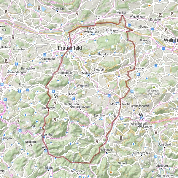
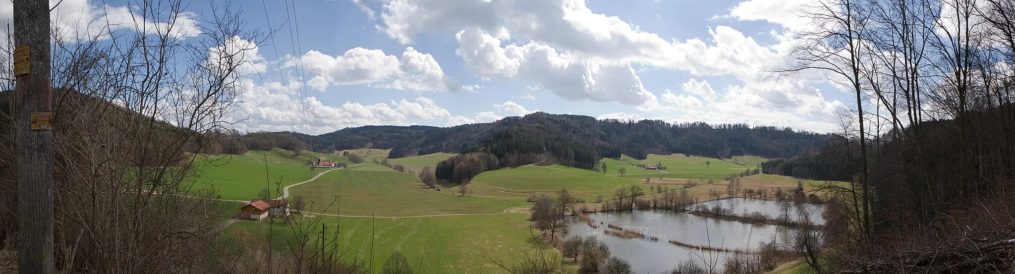
The Curvy Gravel Ride is a 72 km cycling route that takes you through the scenic Thurgau region. With a total ascent of 1180 m, this gravel route offers a mix of challenging climbs and fast descents. It is perfect for gravel enthusiasts looking to explore the picturesque countryside. The highlights of this route include Affeltrangen, a charming village known for its traditional Swiss wooden houses, Trunger Holz, a dense forest with beautiful trails, and Pfyn, a nature reserve rich in biodiversity.
gravel
72 km
1180 m
Tough
Route profile
Highlights on the route
0 km
0 km
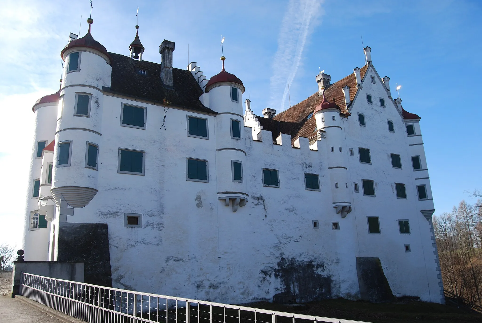
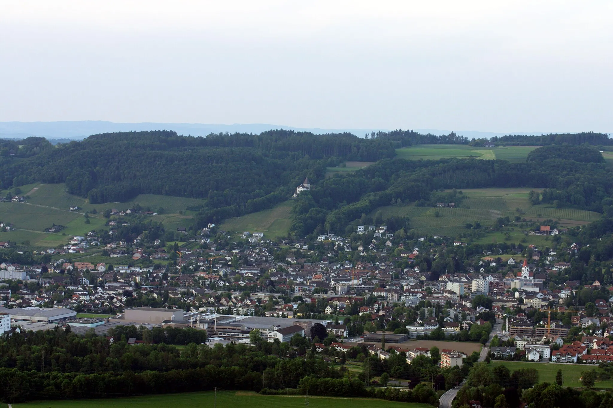
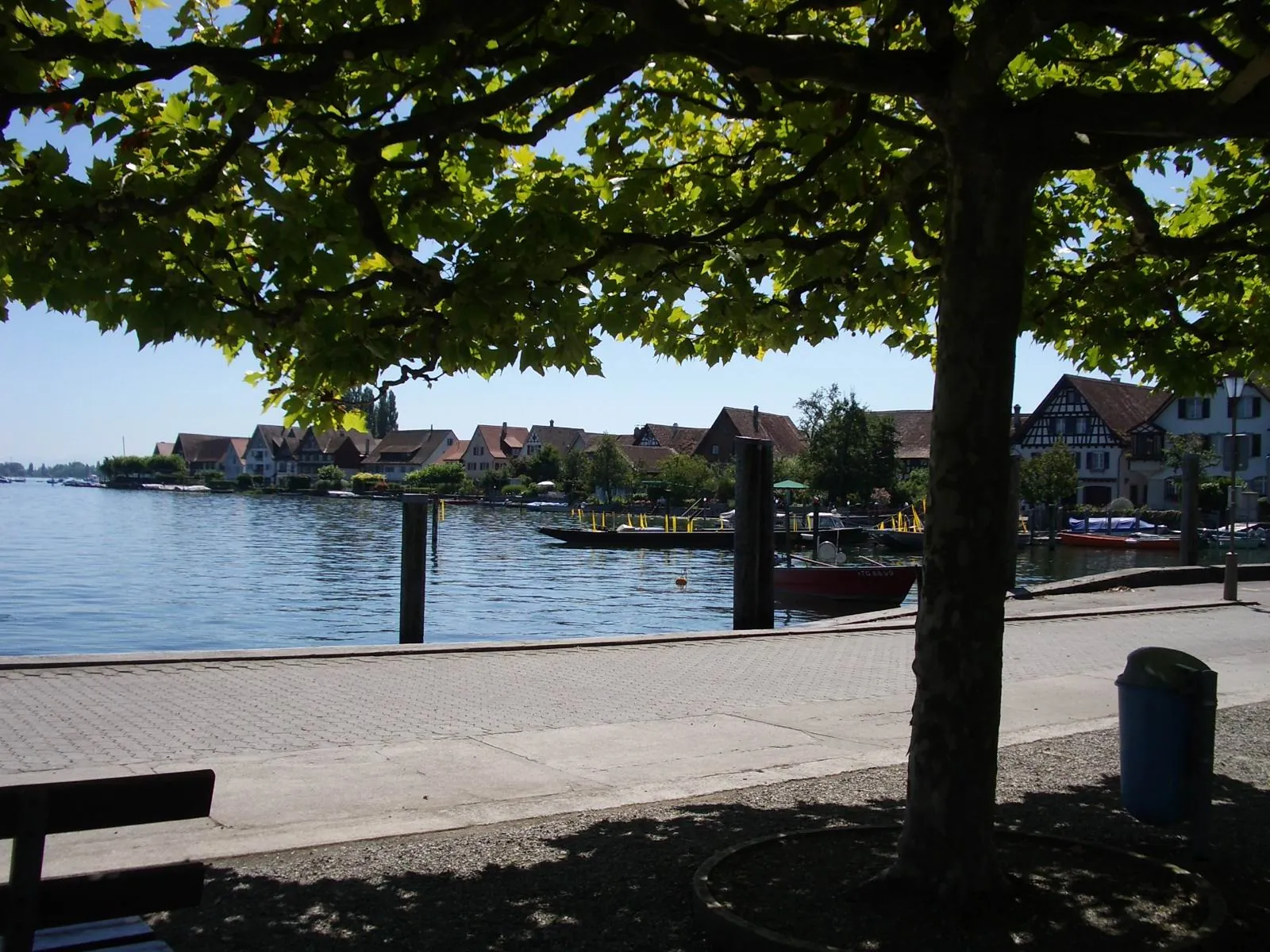
Start: Müllheim Village centerMüllheim: Discover Müllheim: Scenic routes and off-road trails in a charming Swiss locality.
Müllheim is a locality situated in Ostschweiz, Switzerland. For cyclists, Müllheim offers a diverse range of cycling opportunities. The region has a well-maintained network of roads suitable for road cycling, with scenic routes that pass through picturesque villages and countryside. In addition, there are also gravel paths and off-road trails available for gravel cyclists. Müllheim is not particularly renowned for its famous cycling spots or well-known climbs, but it provides a pleasant cycling experience in a beautiful Swiss setting.11 km
11 km
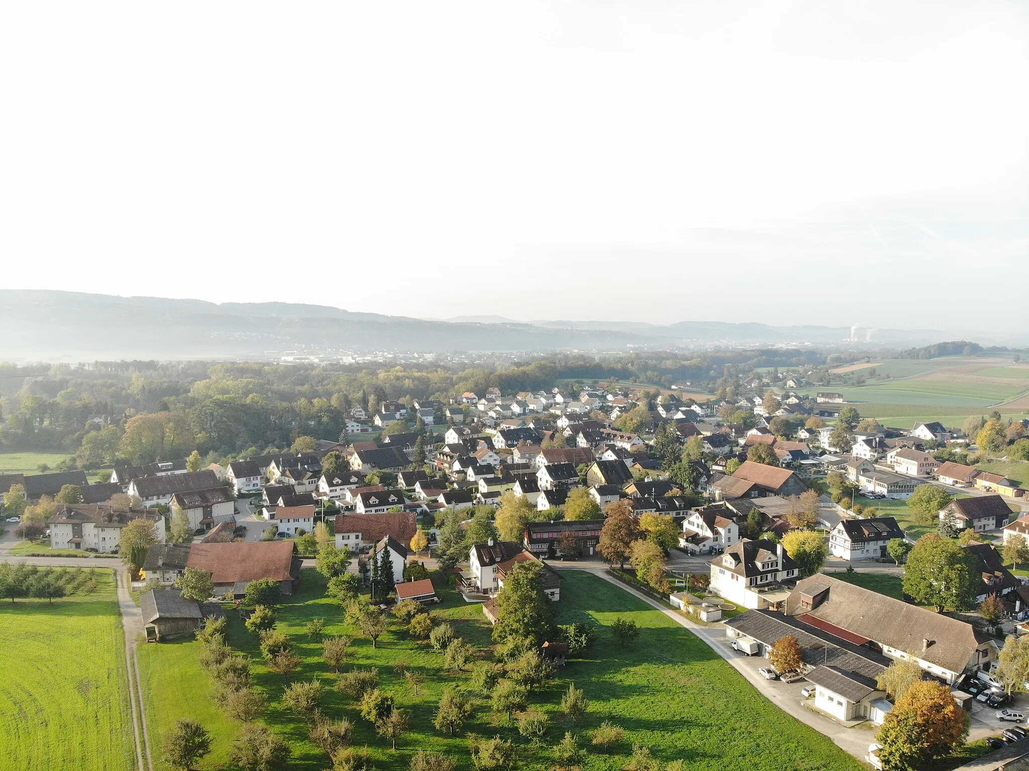
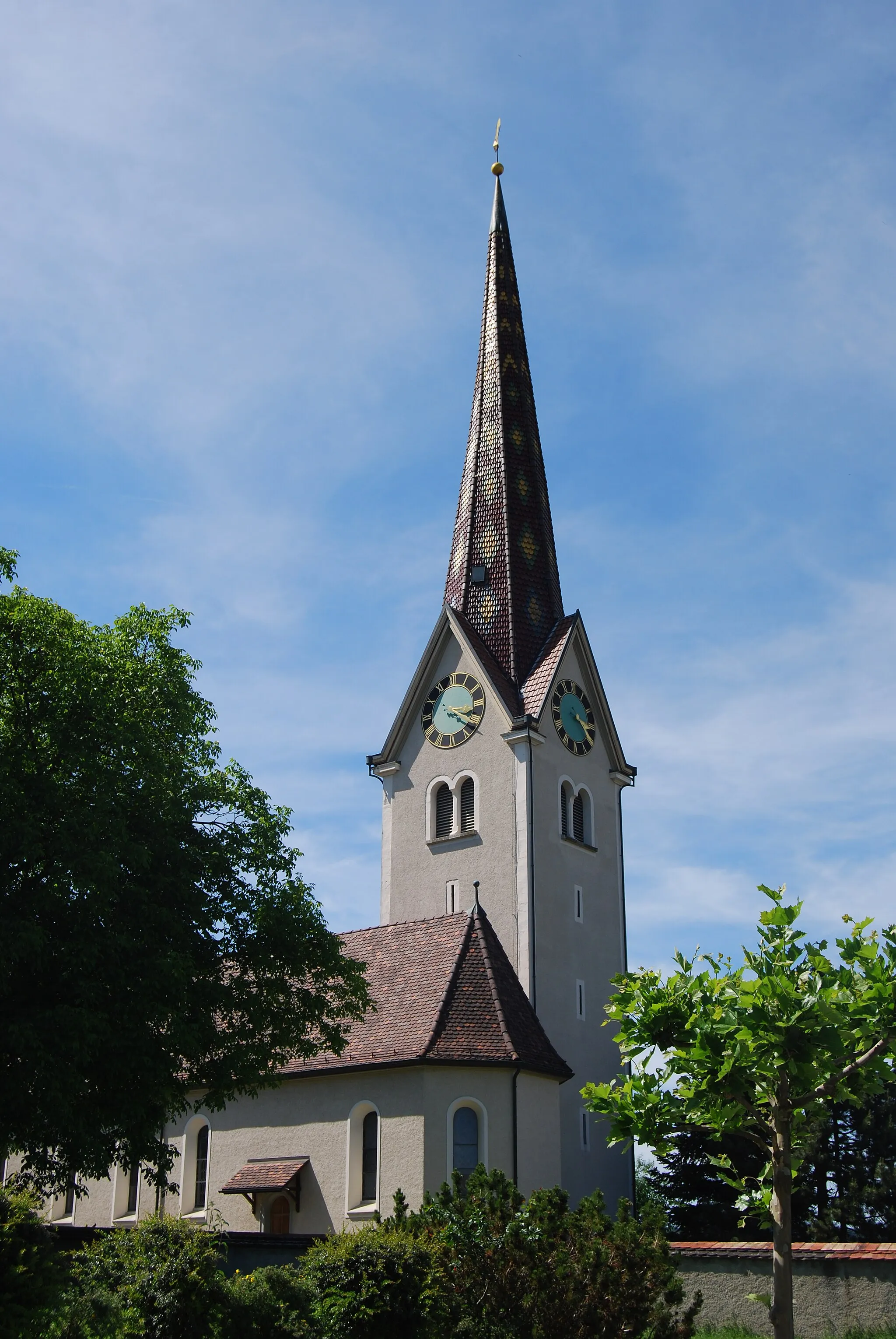
AffeltrangenVillageAffeltrangen is a traditional Swiss village with picturesque wooden houses and a tranquil atmosphere.
17 km
17 km
Trunger Holz551 mPeakTrunger Holz is a dense forest with numerous gravel trails, offering a thrilling off-road experience.
27 km
27 km
Waltensberg715 mPeakWaltensberg is a small village nestled amidst rolling hills and meadows, providing scenic views.
41 km
41 km
TurbenthalVillageTurbenthal is a cozy town surrounded by lush green fields and idyllic landscapes.
59 km
59 km
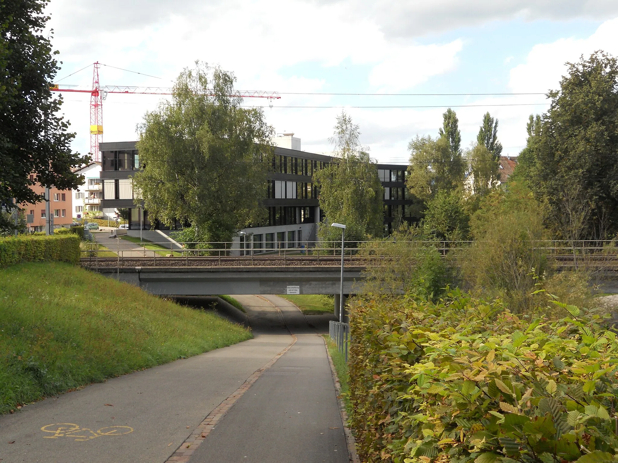
BahnhofbrückeViewpointBahnhofbrücke is a historic railway bridge that adds character to the route.
59 km
59 km
FrauenfeldTownFrauenfeld is a lively town with a picturesque old town center and beautiful parks.
67 km
67 km
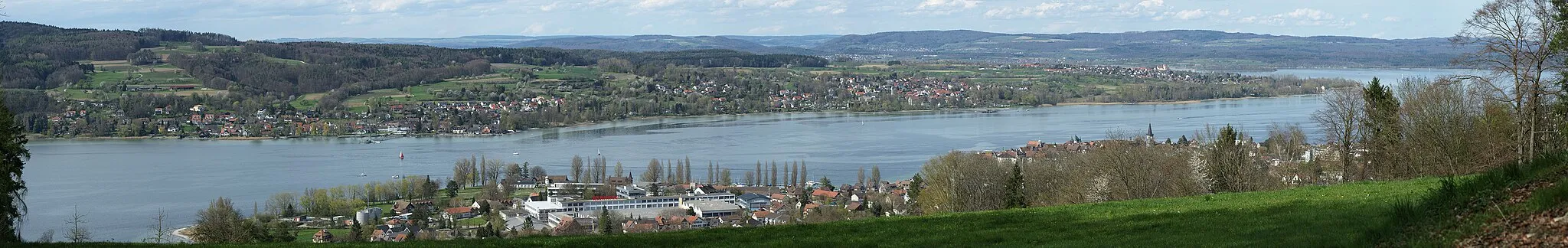
PfynVillagePfyn is a nature reserve popular among birdwatchers, offering a chance to spot various bird species in their natural habitats.
72 km
72 km
Finish: Müllheim Village centerMüllheim: Discover Müllheim: Scenic routes and off-road trails in a charming Swiss locality.
Cycling routes from Mullheim:
Cycling routes nearby: