Alpine Gravel Adventure
A gravel cycling route starting from Alpnach
Embark on an epic gravel adventure in the Swiss Alps
Map
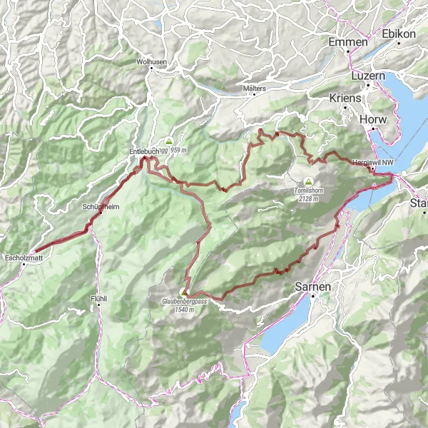
Venture into the heart of the Swiss Alps with this 108-kilometer gravel route. With its challenging 3571-meter ascent and diverse terrain, this route offers an unforgettable adventure for gravel enthusiasts. Explore the highlights of Schoried, Buck, Glaubenbergpass, Lehn, Hasle, Wissenegg, Eigenthal, Würzenegg, Haslihorn, and Alpnach, and revel in the breathtaking beauty of the alpine landscapes.
gravel
108 km
3571 m
Tough
Route profile
Highlights on the route
0 km
0 km
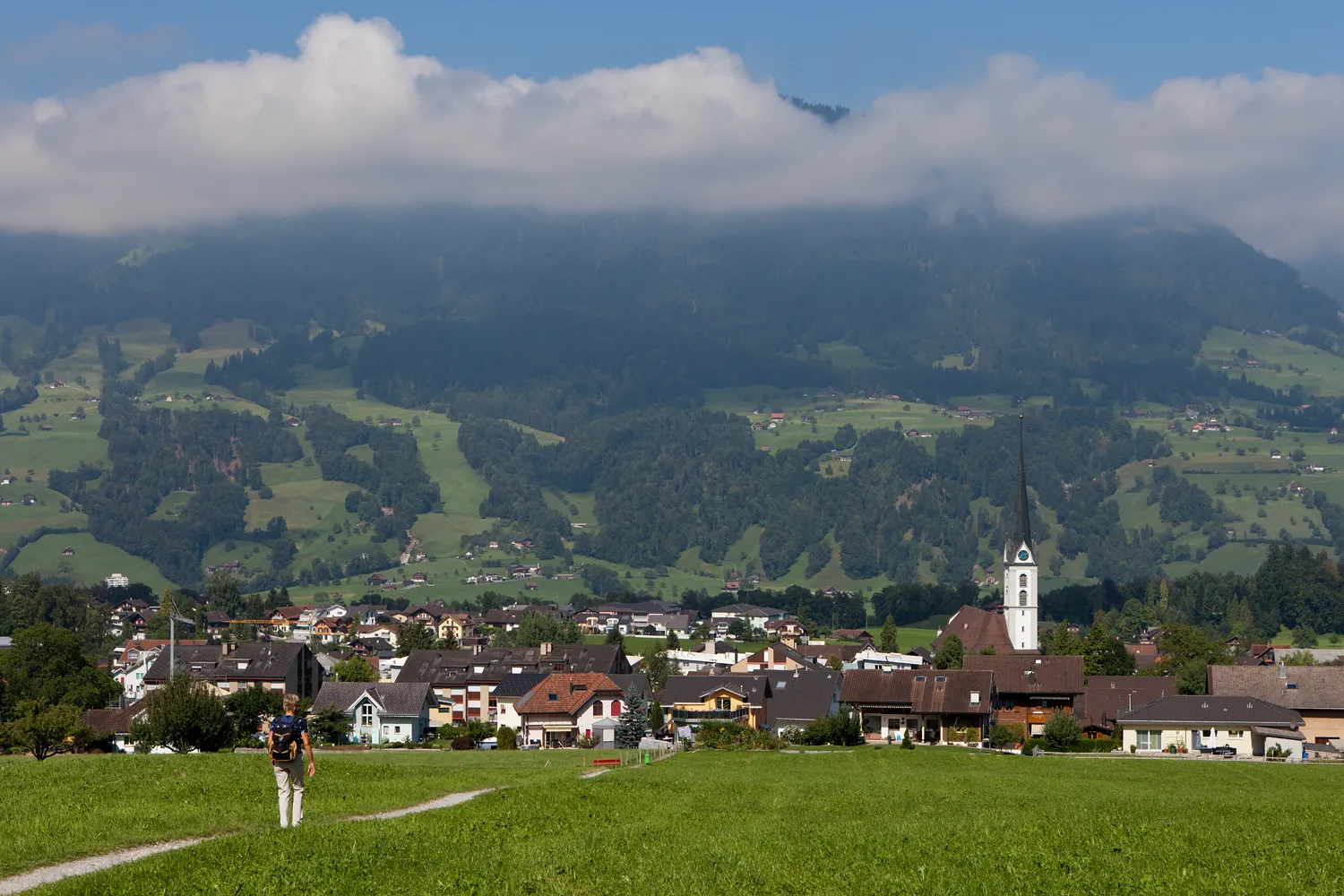
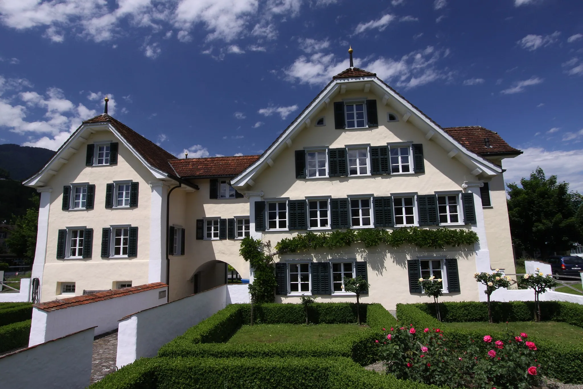
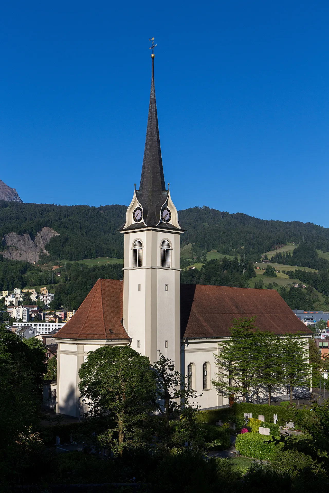
Start: Alpnach Village centerAlpnach: Beautiful landscapes and access to memorable climbs.
Alpnach, situated in the Zentralschweiz region of Switzerland, offers a scenic cycling destination surrounded by mountains and lakes. For road and gravel cyclists, Alpnach provides both challenging climbs and leisurely routes through picturesque landscapes. The nearby Brünig Pass is a notable climb that rewards cyclists with breathtaking views. With its well-marked cycling routes and minimal traffic, Alpnach ensures a safe and enjoyable riding experience. Cyclists visiting Alpnach can soak in the beauty of Swiss nature while indulging in various cycling adventures.1 km
1 km
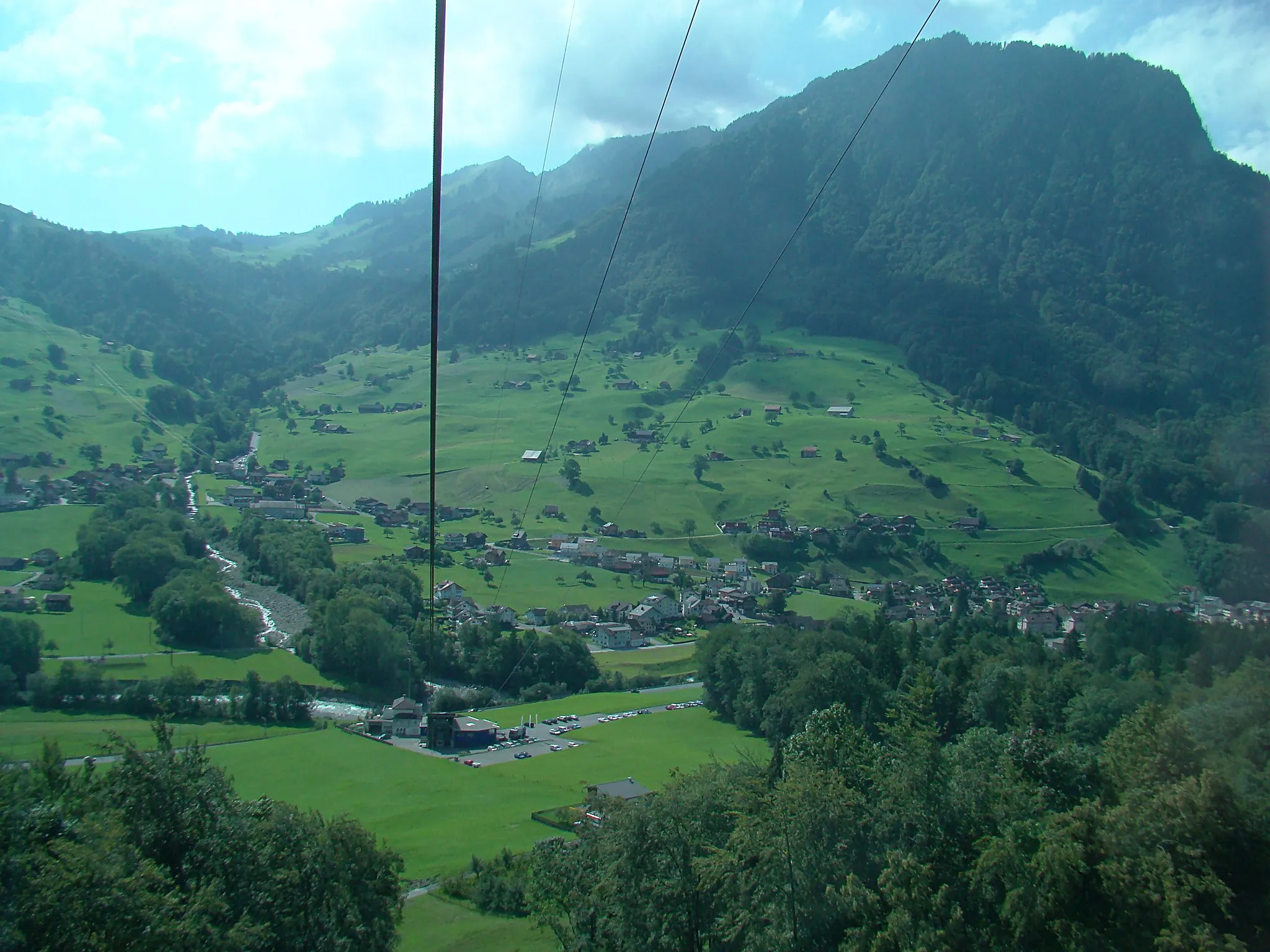
SchoriedHamletSchoried is a picturesque village located in a scenic mountain valley.
9 km
9 km
Buck1631 mPeakBuck is a small hamlet surrounded by idyllic alpine meadows and forests.
19 km
19 km
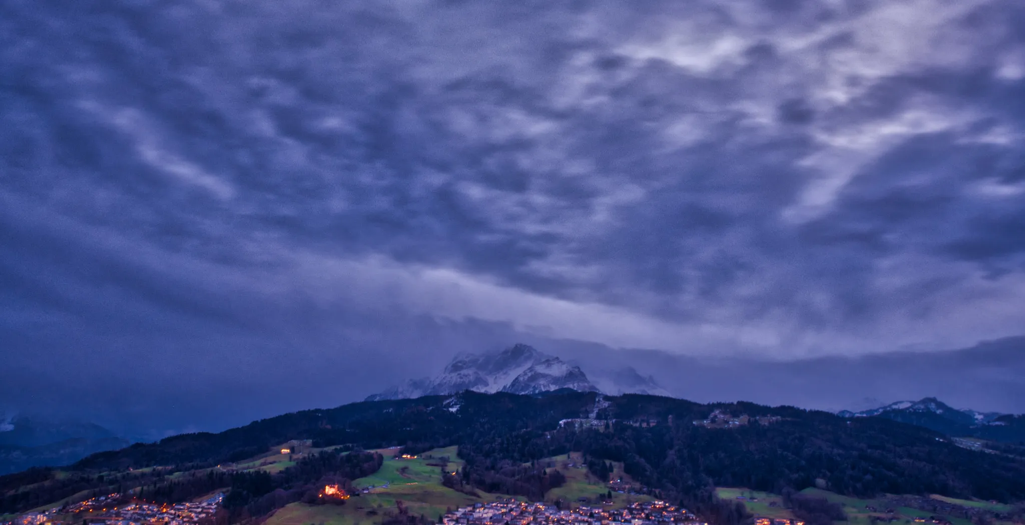
Glaubenbergpass1540 mMountain PassGlaubenbergpass is a legendary climb offering stunning views of the surrounding mountains.
47 km
47 km
LehnHamletLehn is a charming village nestled amidst the majestic peaks of the Swiss Alps.
60 km
60 km
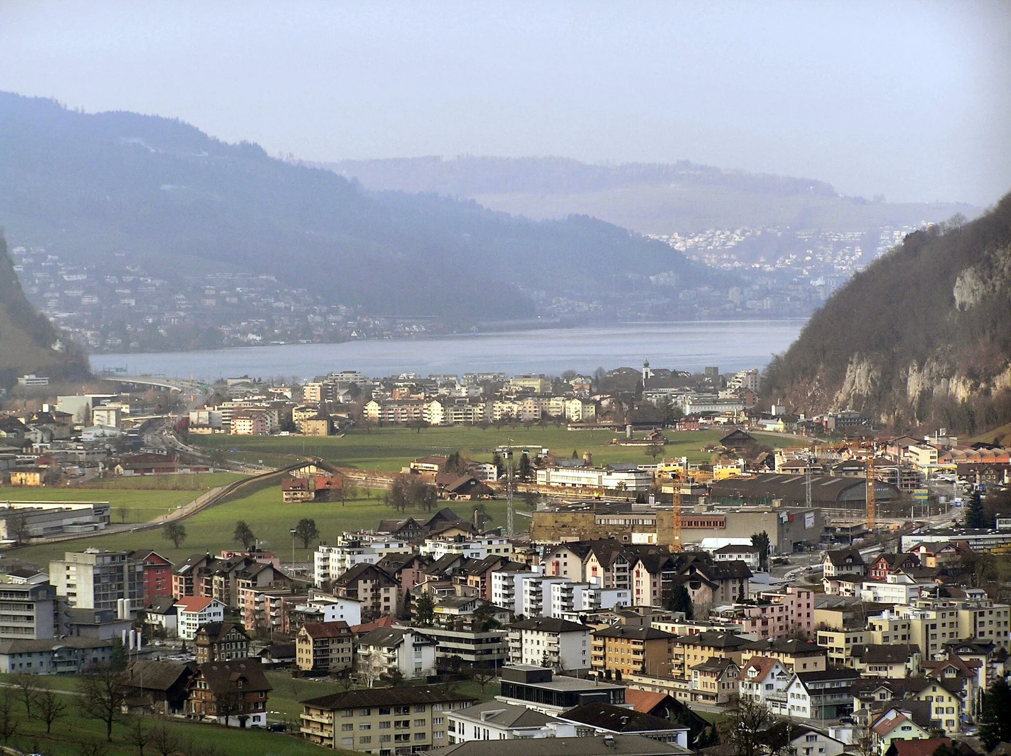
HasleVillageHasle is a picturesque town with historic architecture and beautiful landscapes.
69 km
69 km
Wissenegg1285 mPeakWissenegg is a quaint hamlet surrounded by picturesque alpine pastures and forests.
84 km
84 km
EigenthalHamletEigenthal offers a secluded valley with impressive landscapes and peaceful tranquility.
85 km
85 km
Würzenegg1174 mPeakWürzenegg is a hidden gem known for its beautiful alpine landscapes.
98 km
98 km
Haslihorn961 mPeakHaslihorn is a legendary climb with breathtaking views over the Swiss Alps.
108 km
108 km
AlpnachVillageAlpnach is a charming village with a rich history and beautiful surroundings.
108 km
108 km
Finish: Alpnach Village centerAlpnach: Beautiful landscapes and access to memorable climbs.
Cycling routes nearby: