Panoramic Road
A road cycling route starting from Ingenbohl
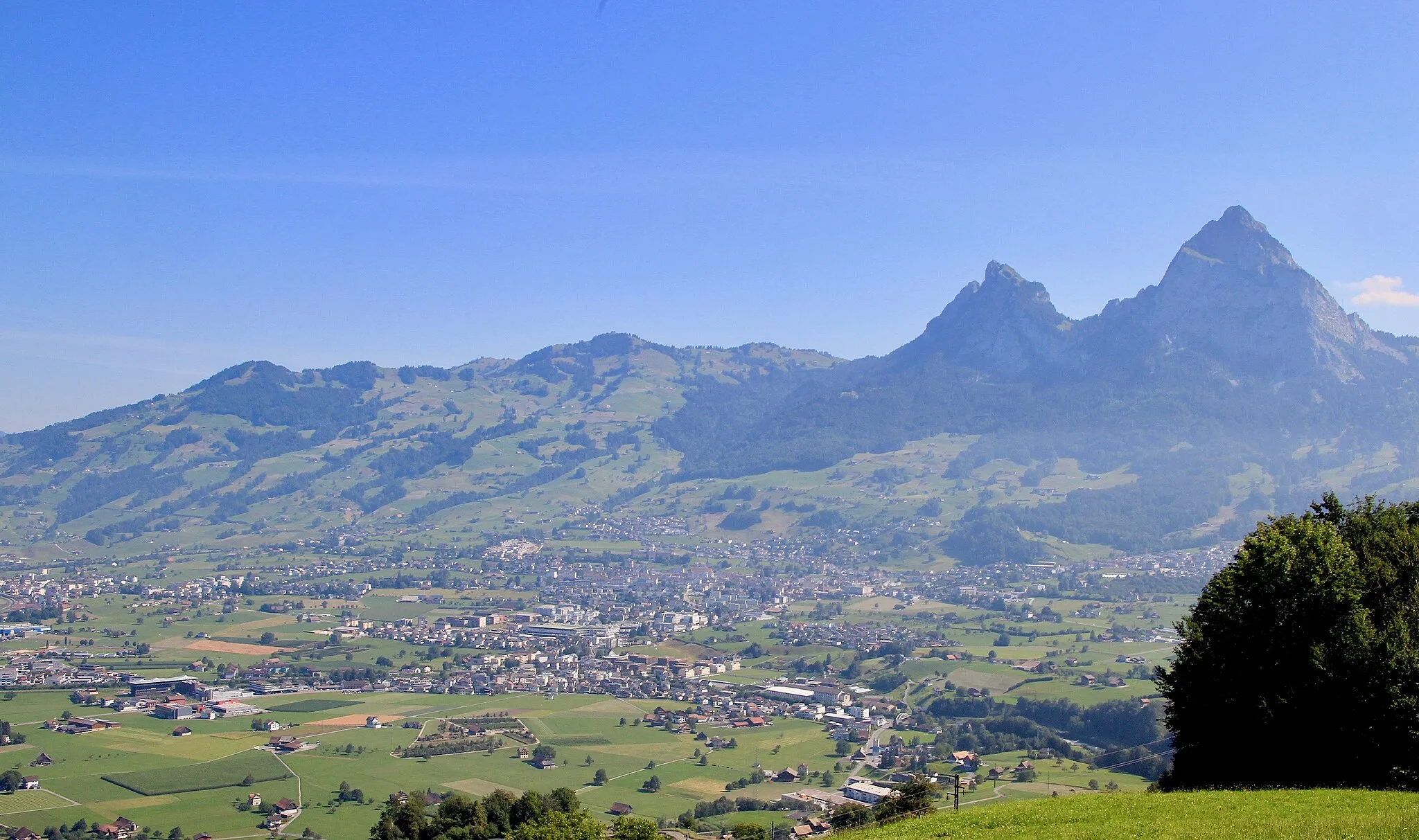
Gorgeous panoramic views over Schwyz
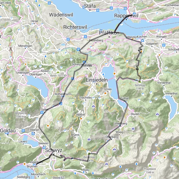
Map
Embark on a beautiful road cycling journey starting near Ingenbohl, Switzerland. This route takes you on a 98-kilometer adventure with a total ascent of 2,119 meters. Enjoy breathtaking panoramic views over Schwyz and immerse yourself in the picturesque landscapes. This route is of moderate difficulty, suitable for well-trained amateurs. It offers an epic experience with its scenic beauty and challenging terrains.
road
98 km
2119 m
Tough
Route profile
Highlights on the route
0 km
0 km
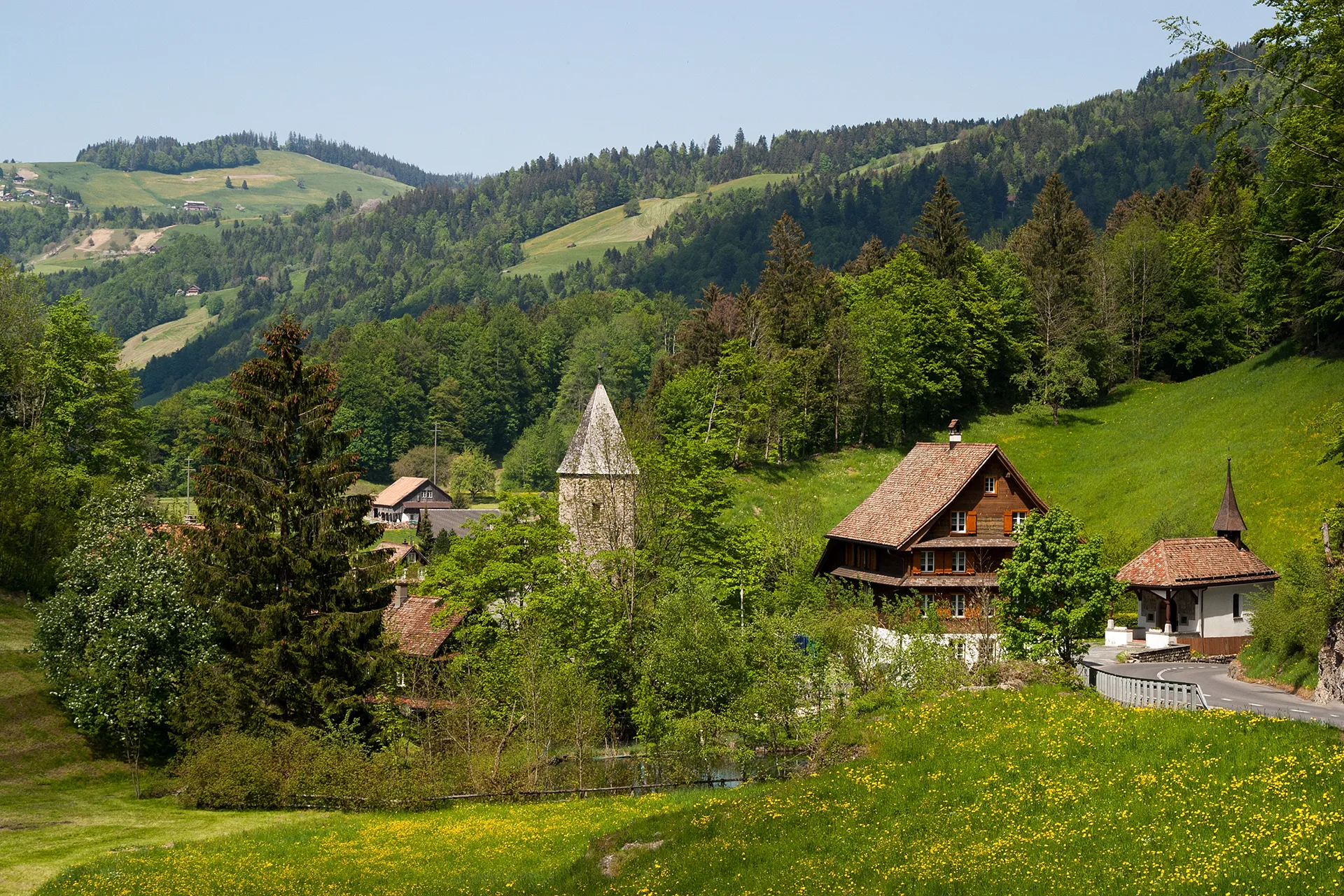
Start: Ingenbohl Village centerIngenbohl: Cycling Paradise in Zentralschweiz
Ingenbohl, located in Zentralschweiz, Switzerland, is a beautiful locality for road and gravel cyclists. The region offers stunning scenery with its picturesque mountains and lakes, making it a delight to ride through. There are several well-known cycling routes in the area, such as the Gotthard Pass, providing challenging climbs suitable for experienced cyclists. Overall, Ingenbohl is a popular destination among cycling enthusiasts, offering both thrilling rides and breathtaking views.3 km
3 km
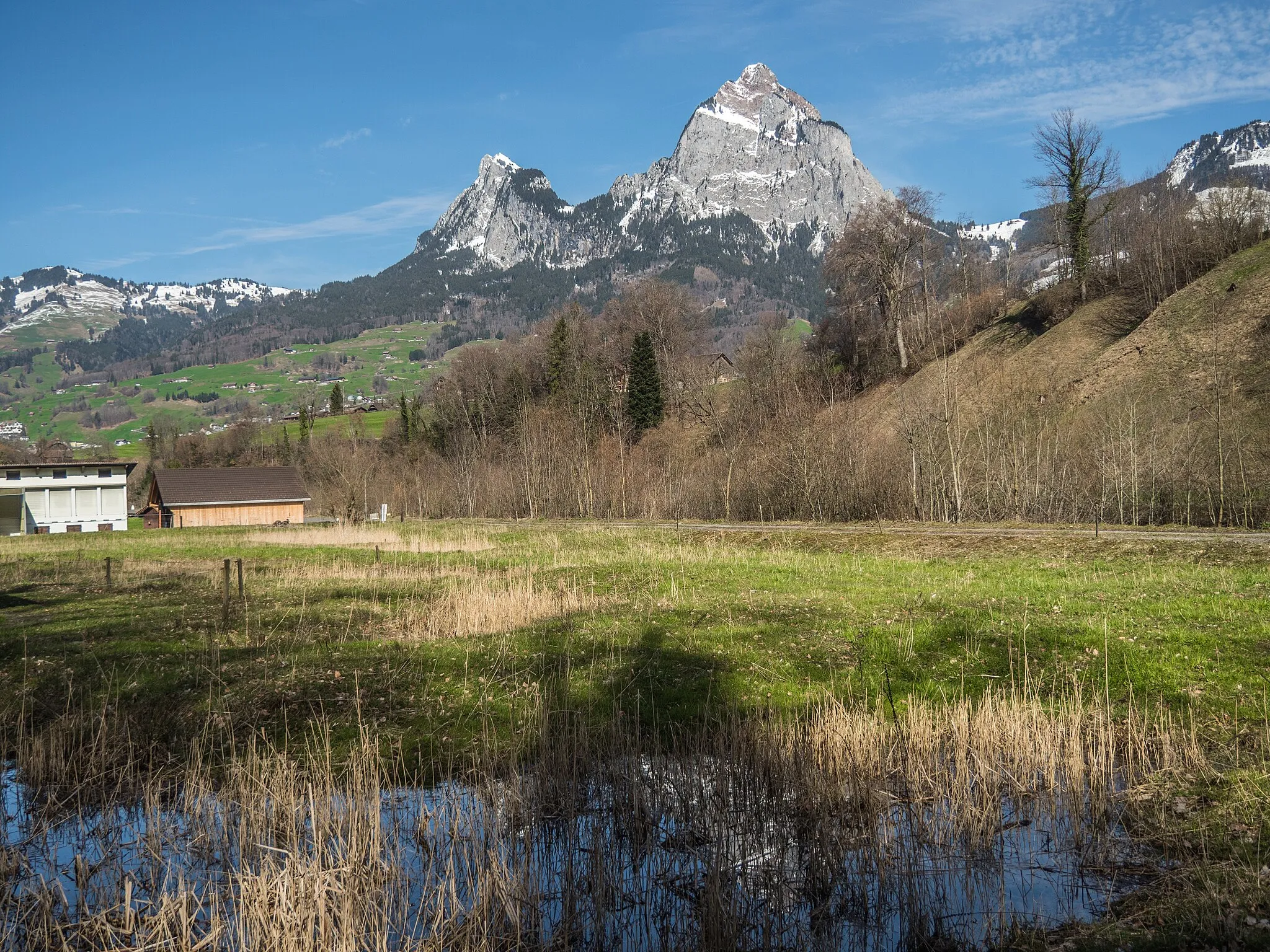
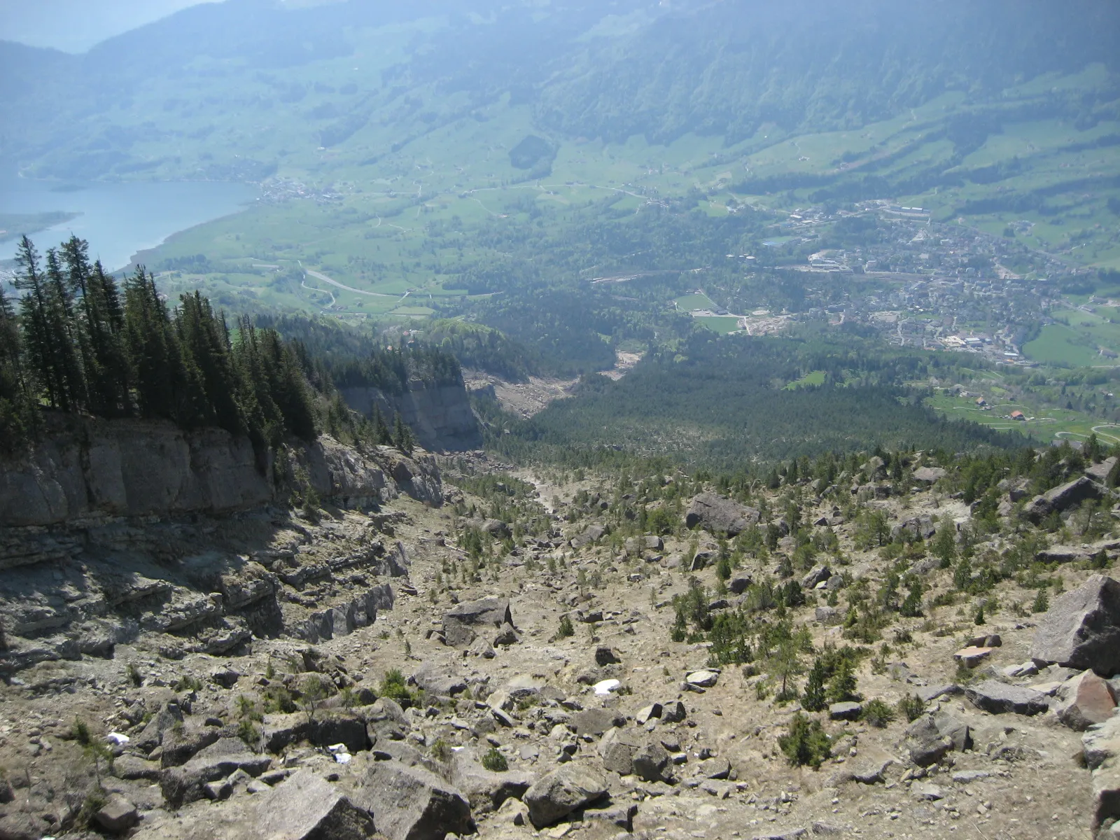
panoramic view over SchwyzViewpointAt a distance of 3 kilometers into the route, you'll discover a breathtaking panoramic view over Schwyz.
3 km
3 km
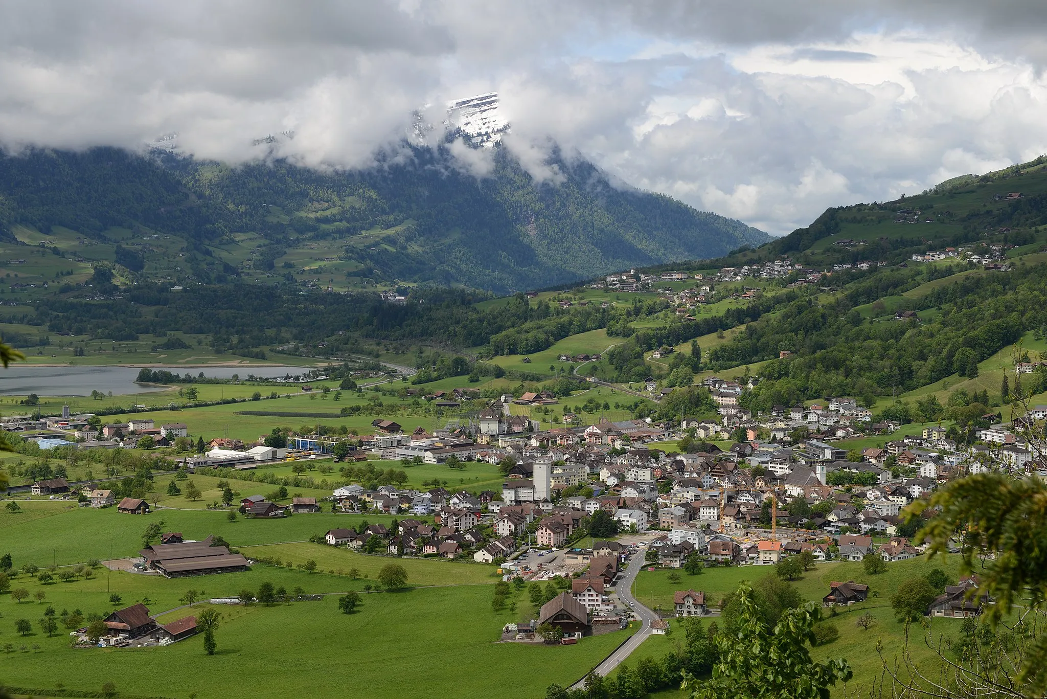
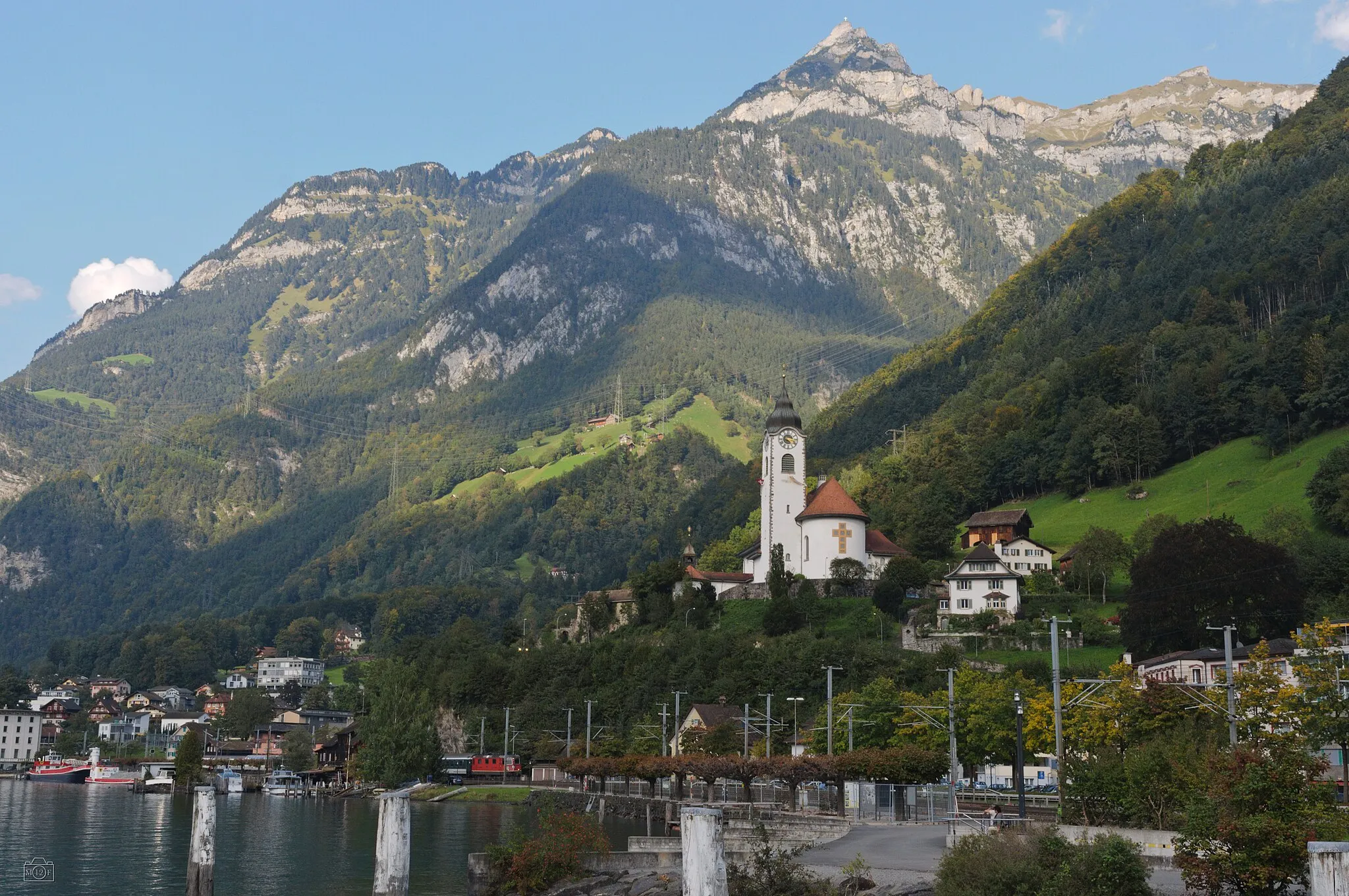
SchwyzTownPass through Schwyz, a charming town with historical significance.
12 km
12 km
SattelVillageReach Sattel at the 12-kilometer mark, an idyllic village surrounded by beautiful natural landscapes.
32 km
32 km
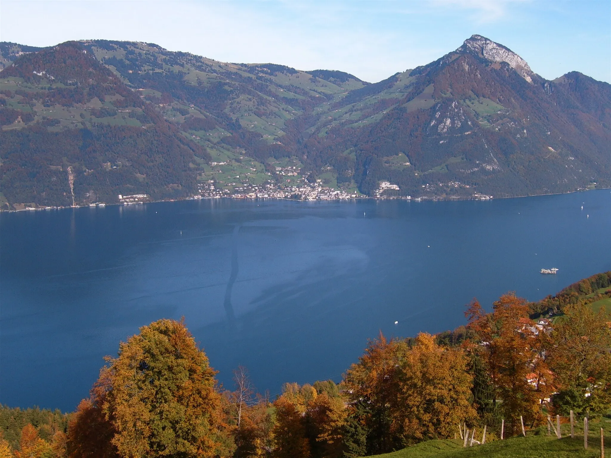
FreienbachVillageAfter 32 kilometers, you'll pass through Freienbach, known for its tranquility and soothing surroundings.
47 km
47 km
AltendorfVillageAt a distance of 47 kilometers, you'll arrive in Altendorf, a quaint Swiss municipality.
60 km
60 km
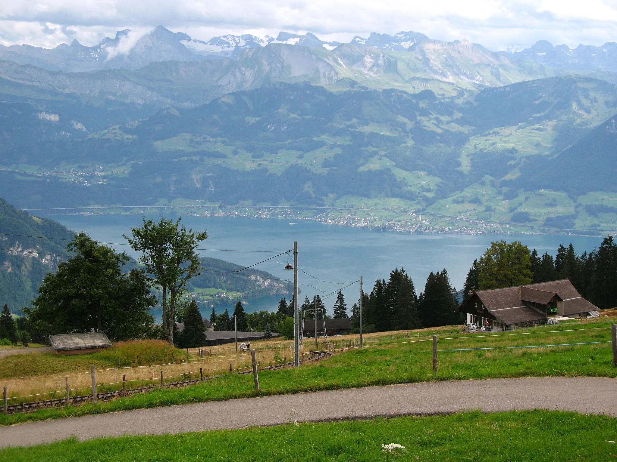
Sattelegg1190 mMountain PassExperience the challenging terrains and stunning views at Sattelegg, located at the 60-kilometer mark.
69 km
69 km
EuthalVillagePass through Euthal, a charming village known for its natural beauty and peaceful atmosphere.
77 km
77 km
OberibergVillageDiscover Oberiberg, 77 kilometers into the route, and admire its picturesque landscapes.
83 km
83 km
Ibergeregg1406 mMountain PassPrepare yourself for the challenging ascent to Ibergeregg, an elevation point at the 83-kilometer mark.
95 km
95 km
IbachVillageIbach, located at the 95-kilometer mark, is a serene town with a laid-back atmosphere.
98 km
98 km
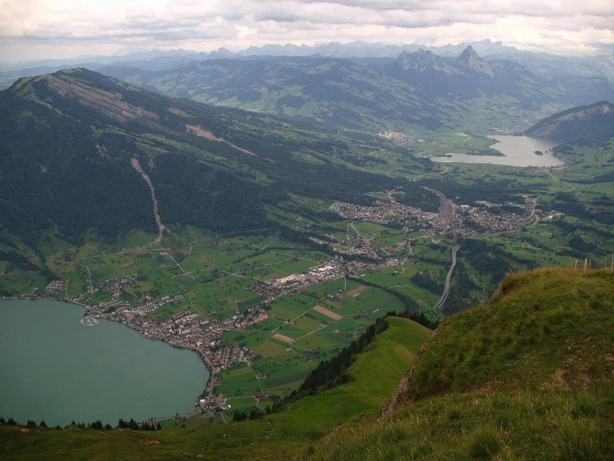
MythenblickViewpointAs you approach the end of the route, enjoy a stunning panoramic view over Schwyz.
98 km
98 km
Finish: Ingenbohl Village centerIngenbohl: Cycling Paradise in Zentralschweiz
Cycling routes from Ingenbohl:
Cycling routes nearby: