Mountainous Adventure
A road cycling route starting from Ingenbohl
Throughout the heights and valleys of Schwyz
Map
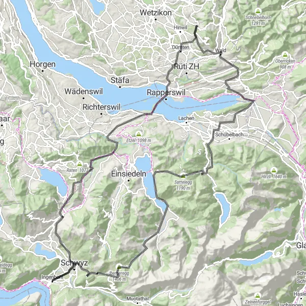
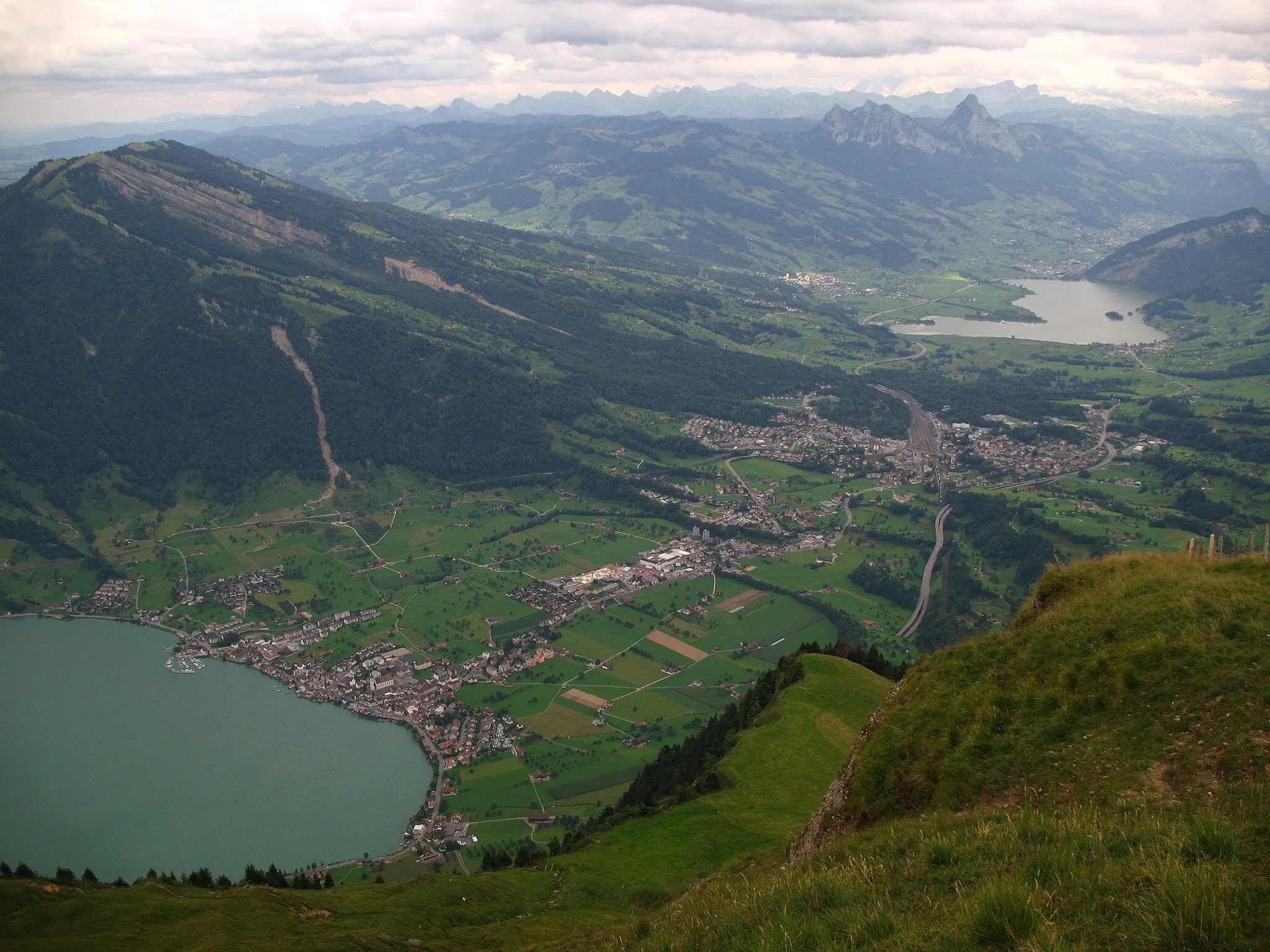
Embark on a mountainous adventure through Schwyz, Switzerland, starting near Ingenbohl. This 131-kilometer road cycling route presents an ultimate challenge with a total ascent of 2,866 meters. Traverse various landscapes, ascend to breathtaking peaks, and be rewarded with awe-inspiring panoramic views. This route is suitable for experienced cyclists due to its difficulty level. Discover the beauty of Schwyz and its surrounding mountainous landscapes throughout this epic journey.
road
131 km
2866 m
Tough
Route profile
Highlights on the route
0 km
0 km
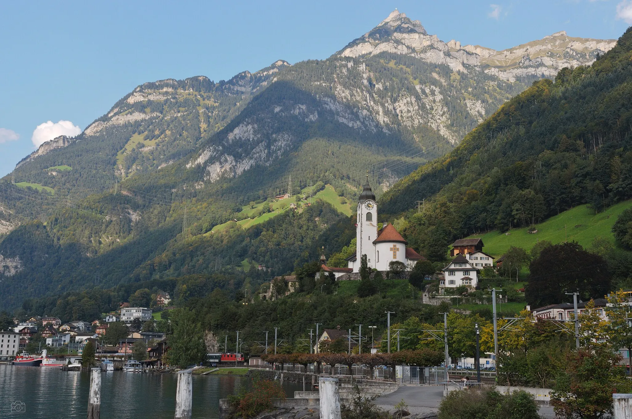
Start: Ingenbohl Village centerIngenbohl: Cycling Paradise in Zentralschweiz
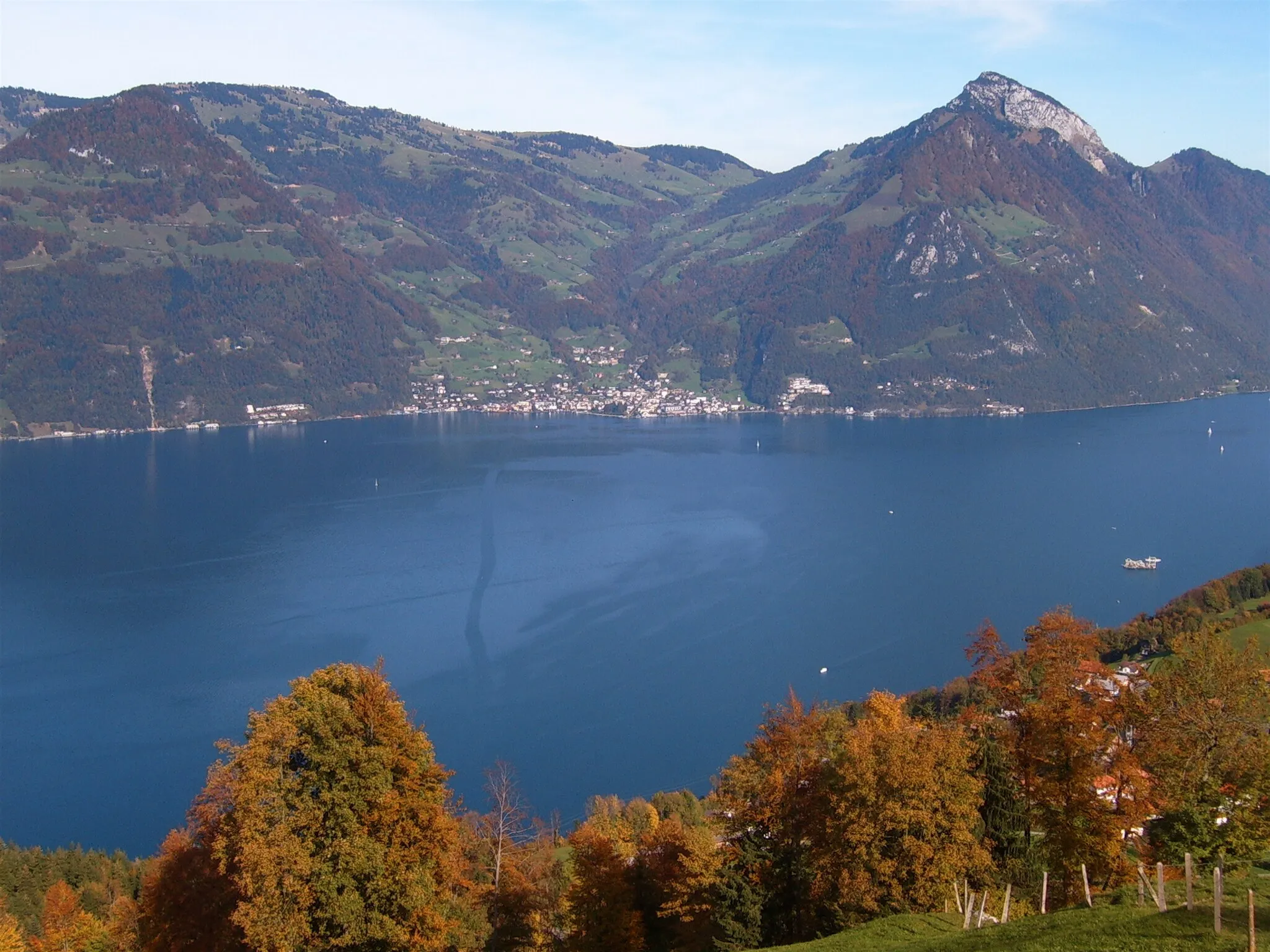
Ingenbohl, located in Zentralschweiz, Switzerland, is a beautiful locality for road and gravel cyclists. The region offers stunning scenery with its picturesque mountains and lakes, making it a delight to ride through. There are several well-known cycling routes in the area, such as the Gotthard Pass, providing challenging climbs suitable for experienced cyclists. Overall, Ingenbohl is a popular destination among cycling enthusiasts, offering both thrilling rides and breathtaking views.12 km
12 km
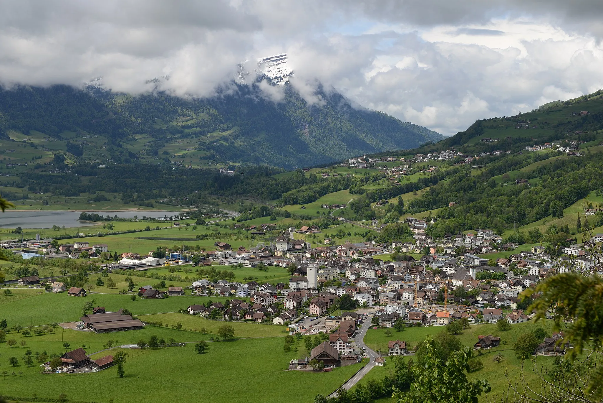
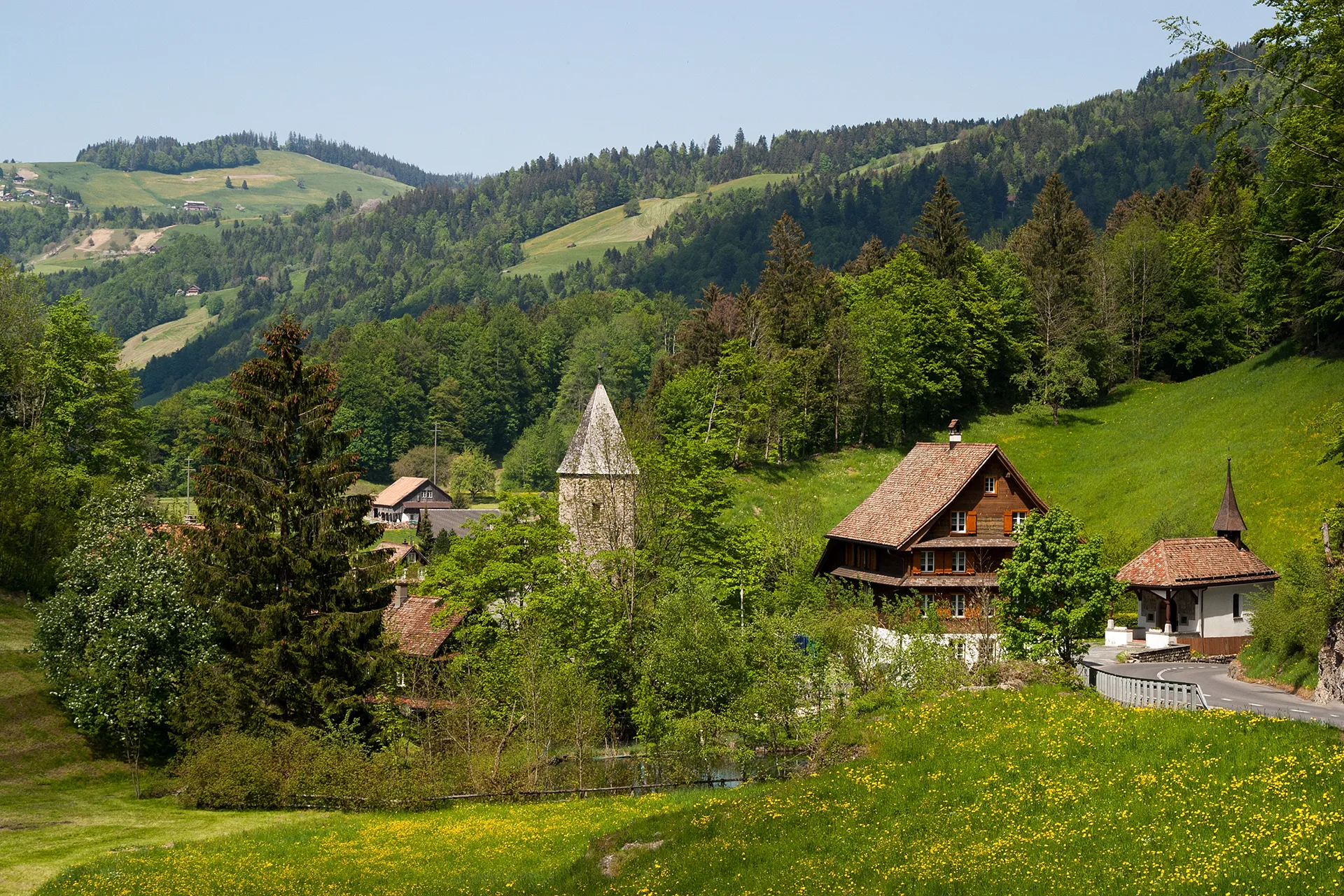
SattelVillageExperience the marvelous landscapes of Sattel, a village nestled amidst nature's beauty, at the 12-kilometer mark.
15 km
15 km
Morgartenberg1239 mPeakMarvel at Morgartenberg, an elevated area with historical significance, offering views that transcend time.
32 km
32 km
FeusisbergVillageEncounter Feusisberg, a charming Swiss municipality known for its picturesque settings.
39 km
39 km
LindenhofViewpointVisit Lindenhof, located at the 39-kilometer mark, and appreciate its tranquility and serene atmosphere.
57 km
57 km
Bachtelhörnli969 mPeakChallenge yourself with the ascent to Bachtelhörnli, a legendary peak gaining popularity among cyclists.
60 km
60 km
WaldVillagePass through Wald, a delightful town situated at the 60-kilometer mark.
69 km
69 km
SchmerikonVillageDiscover rolling landscapes and picturesque views in Schmerikon, situated at the 69-kilometer mark.
81 km
81 km
SiebnenVillageAs you approach Siebnen, located at the 81-kilometer mark, admire its idyllic countryside charm.
92 km
92 km
Sattelegg1190 mMountain PassPrepare yourself for the challenging ascent to Sattelegg, an elevation point known for its stunning summit views.
102 km
102 km
EuthalVillageImmerse yourself in the natural beauty of Euthal, a small village providing a serene cycling experience.
115 km
115 km
Ibergeregg1406 mMountain PassConquer the demanding climb up to Ibergeregg, which awaits you at the 115-kilometer mark.
125 km
125 km
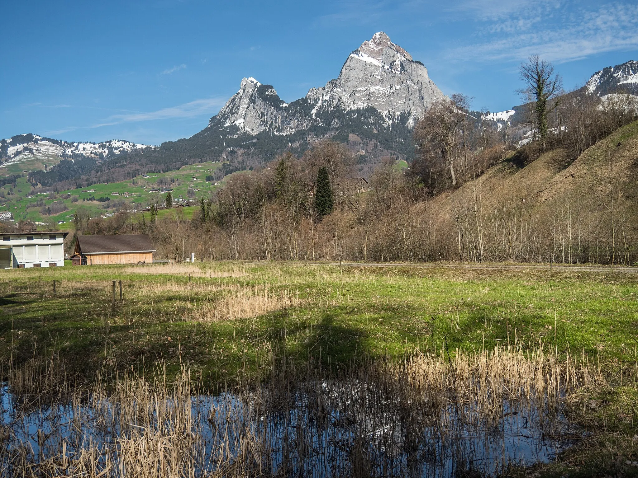
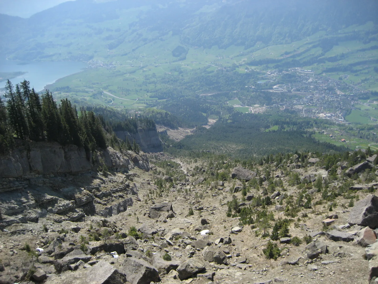
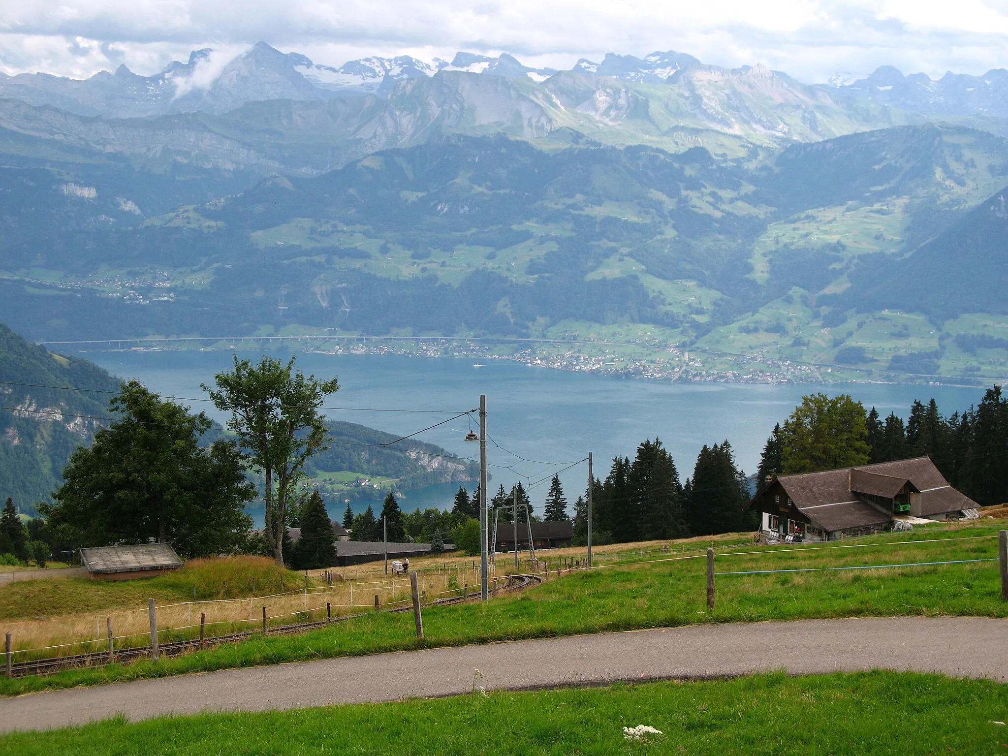
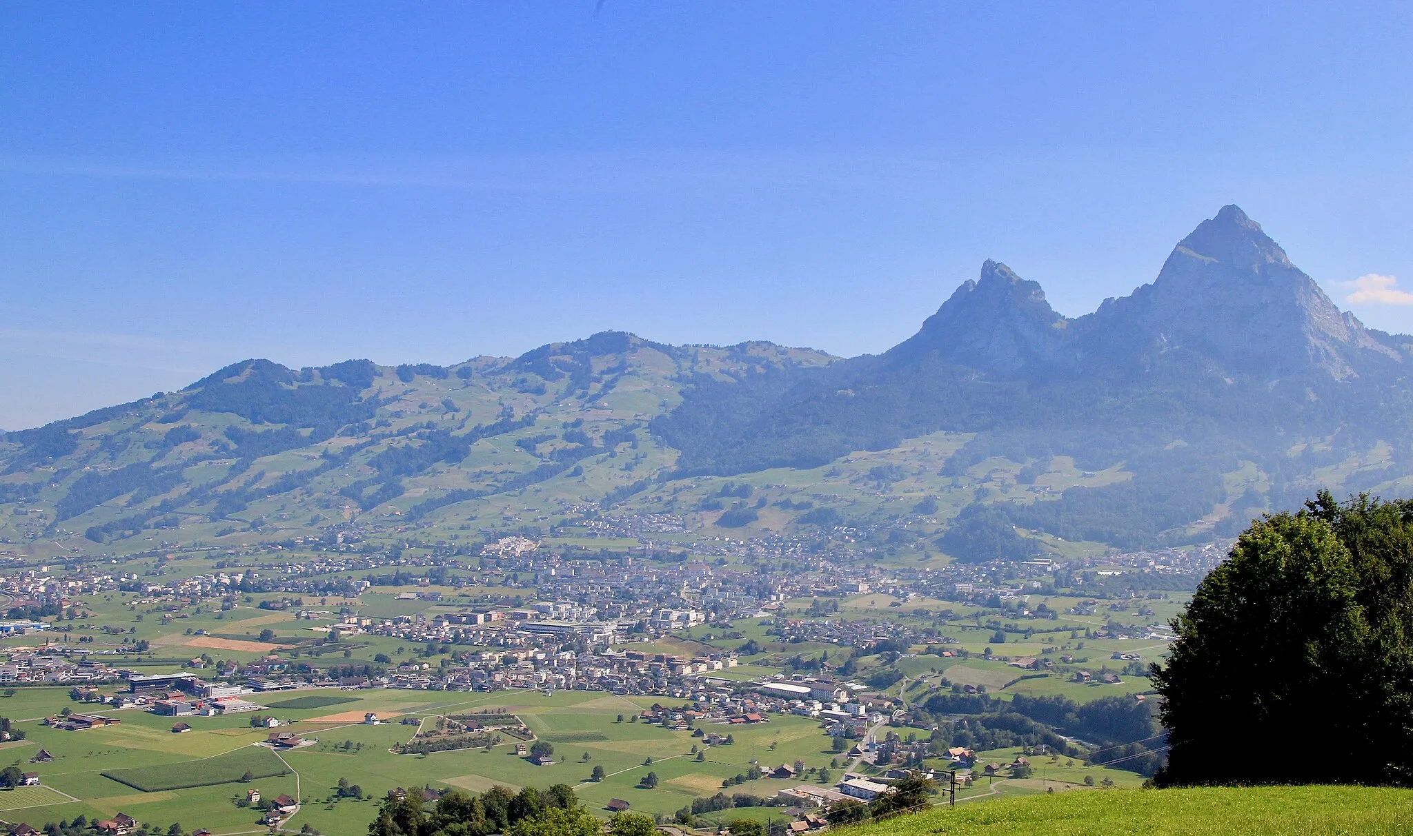
panoramic view over SchwyzViewpointIndulge in a panoramic view over Schwyz, captivating your senses and showcasing the region's grandeur.
126 km
126 km
SchwyzTownPass through Schwyz, a historical gem nestled among mountains and valleys.
131 km
131 km
Finish: Ingenbohl Village centerIngenbohl: Cycling Paradise in Zentralschweiz
Cycling routes from Ingenbohl:
Cycling routes nearby: