Gravel Explorer
A gravel cycling route starting from Stansstad
Explore the gravel routes around Stansstad
Map
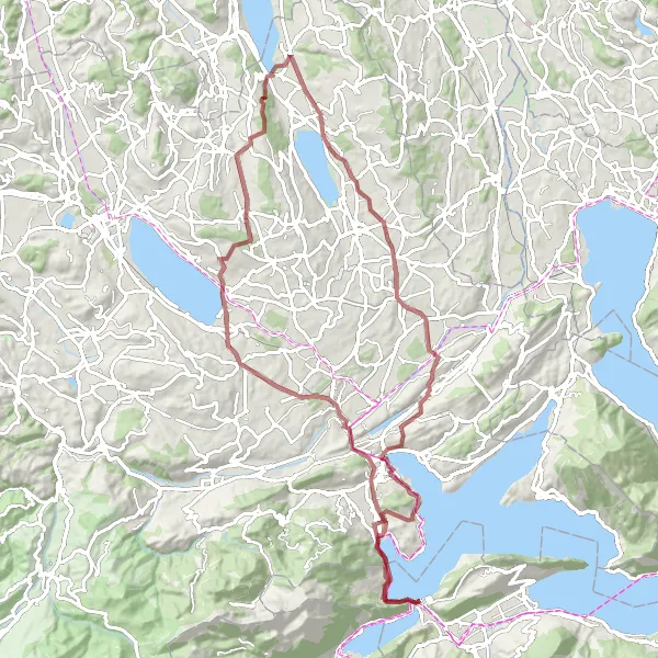
The Gravel Explorer route offers an 88-kilometer adventure through the gravel roads near Stansstad. With a challenging ascent of 1203 meters, this route is suitable for experienced amateur cyclists. Along the way, you'll encounter various highlights, such as the iconic Männliturm and the scenic Hergiswil NW with its panoramic views. Pedal through charming towns and villages, including Neuenkirch and Hitzkirch, where you can discover their rich cultural heritage. As you conquer the route, you'll get a taste of the diverse landscapes and stunning natural beauty of the region.
gravel
88 km
1203 m
Tough
Route profile
Highlights on the route
0 km
0 km
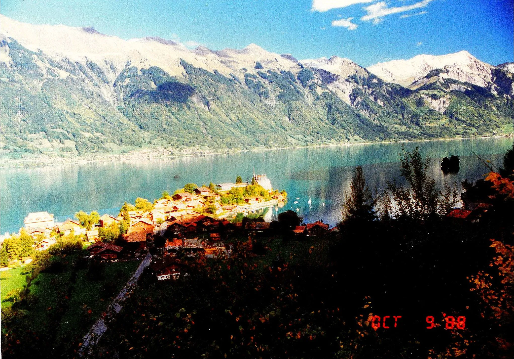
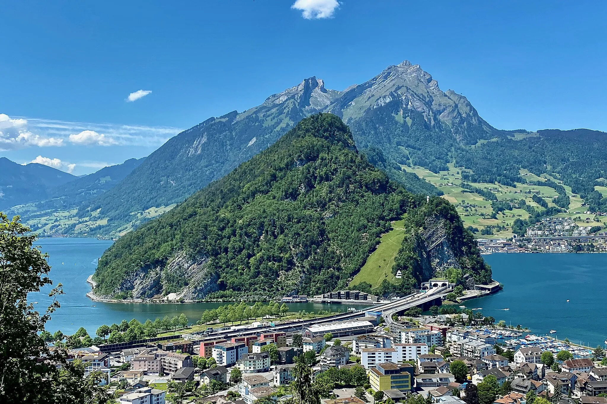
Start: Stansstad Village centerStansstad: Cycling Paradise on the Shores of Lake Lucerne
Stansstad, located in the Zentralschweiz region of Switzerland, offers a picturesque cycling experience. The town is nestled along Lake Lucerne, providing cyclists with stunning waterfront views. The surrounding area offers a mix of flat and hilly terrain, suitable for all types of cyclists. Notable cycling spots nearby include the infamous Furka Pass and St. Gotthard Pass, two legendary climbs and staple routes of the Swiss Alpine Cycling Network. With its natural beauty and challenging climbs, Stansstad is a top destination for road and gravel cyclists.0 km
0 km
StansstadVillageStansstad: Set off on your gravel exploration from the peaceful town of Stansstad.
11 km
11 km
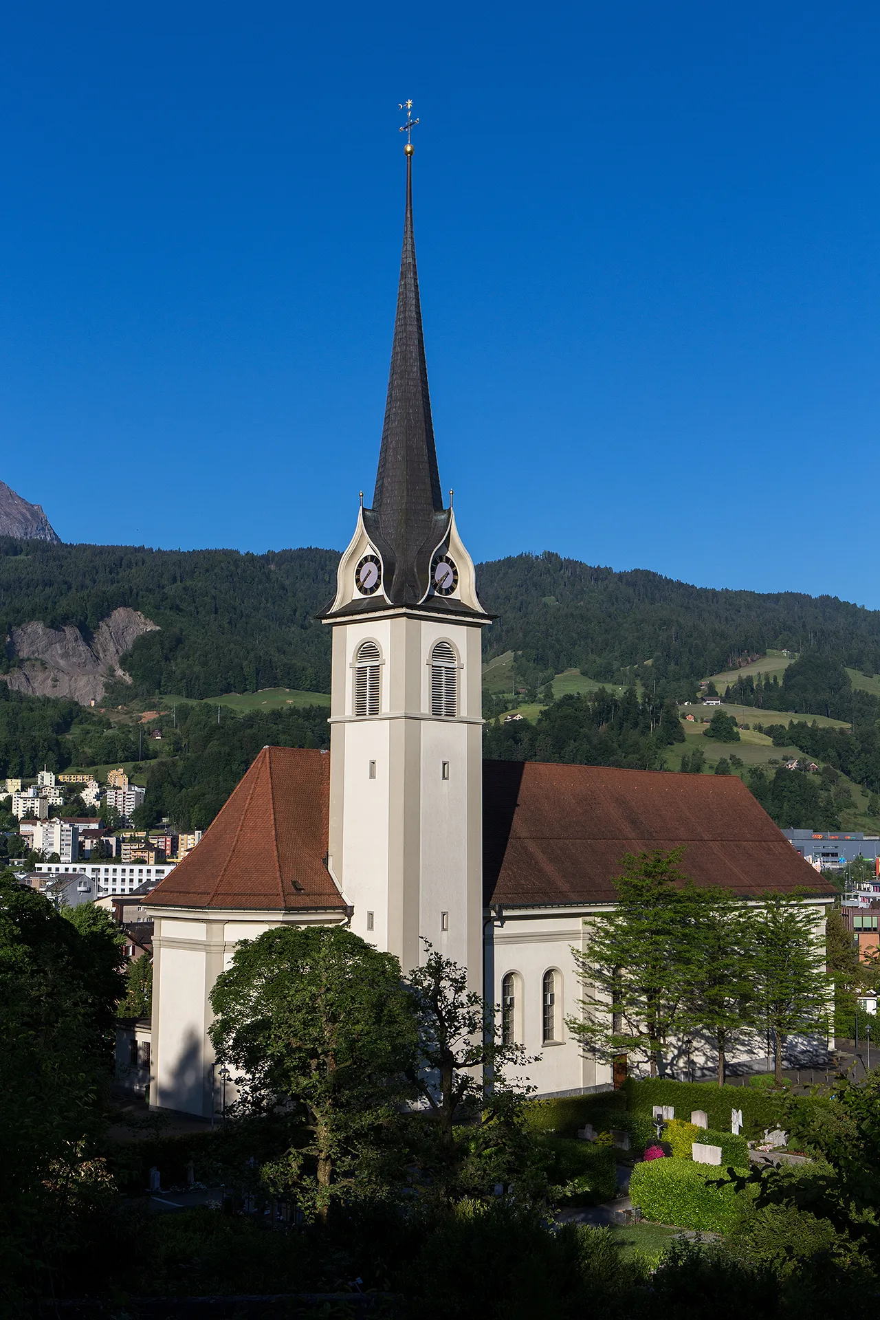
MännliturmViewpointMännliturm: Admire the medieval tower as you pass through it on your off-road journey.
22 km
22 km
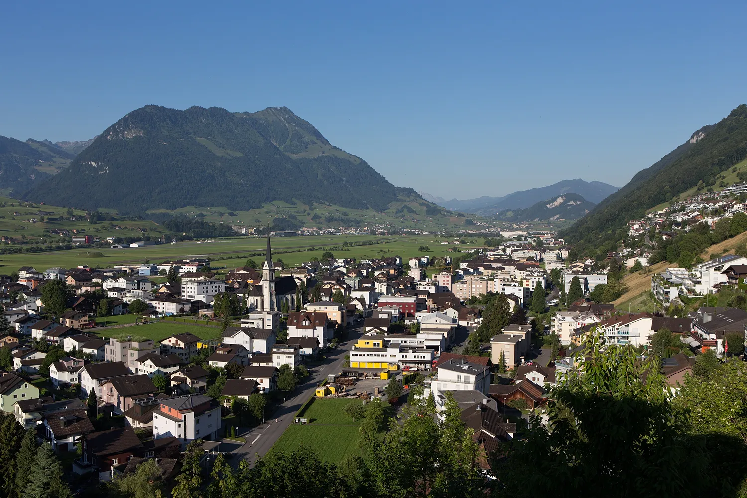
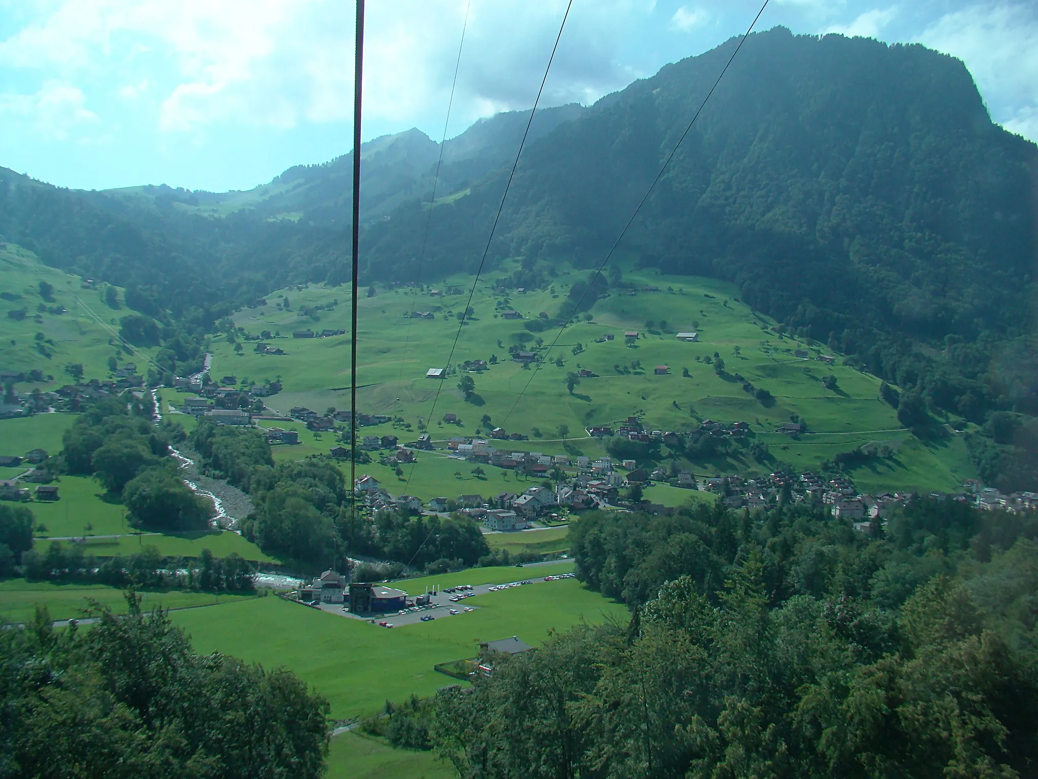
NeuenkirchVillageNeuenkirch: Explore the charming Swiss architecture of this town.
31 km
31 km
Wallfahrtskirche GormundViewpointWallfahrtskirche Gormund: Visit this historic pilgrimage church along the route.
48 km
48 km
HitzkirchVillageHitzkirch: Pause and discover the heritage of this idyllic village.
72 km
72 km
SchirmerturmViewpointSchirmerturm: Appreciate the beauty of this medieval tower along the way.
73 km
73 km
EuropaplatzAttractionEuropaplatz: Keep an eye out for this landmark square as you explore.
85 km
85 km
Hergiswil NWVillageHergiswil NW: Enjoy the stunning views from this scenic spot during your ride.
85 km
85 km
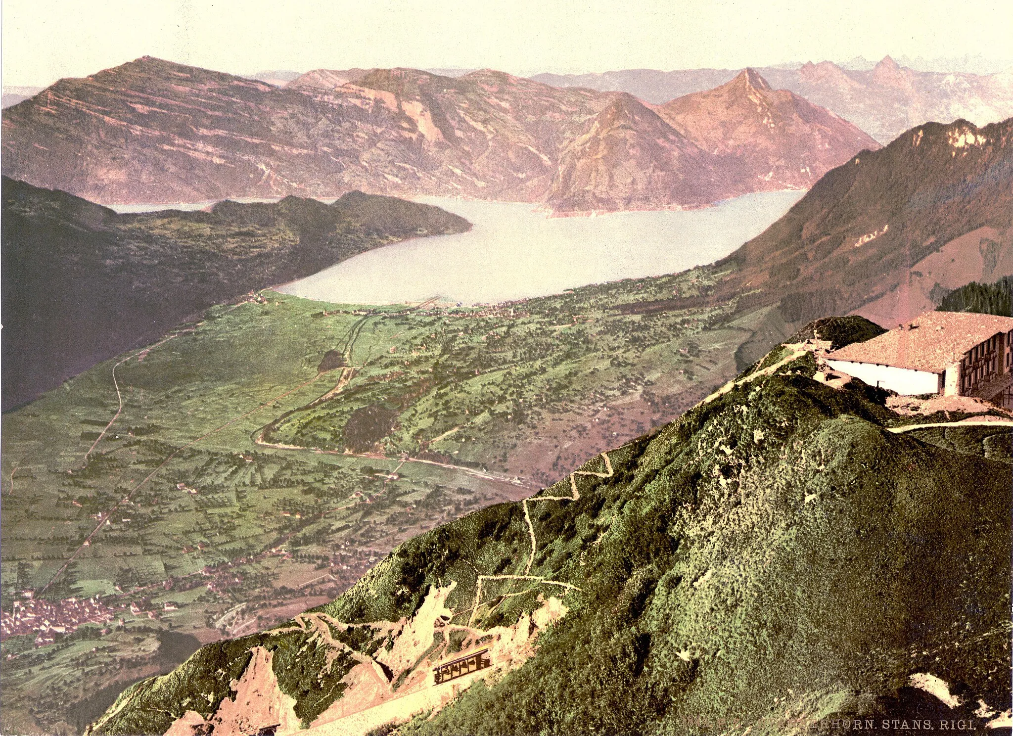
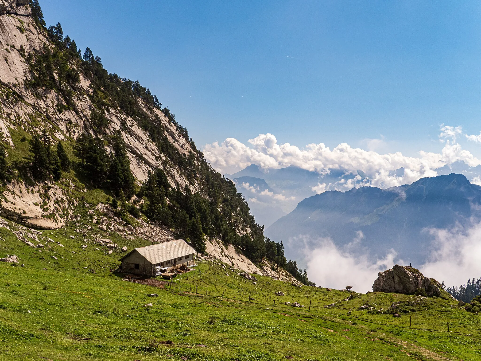
Haslihorn961 mPeakHaslihorn: Conquer the challenging gravel trails and soak in the breathtaking panoramic views.
88 km
88 km
Finish: Stansstad Village centerStansstad: Cycling Paradise on the Shores of Lake Lucerne
Cycling routes from Stansstad:
Cycling routes nearby: