Schlieren - Chäferberg Loop
A road cycling route starting from Schlieren
Discover the charming Chäferberg on this road cycling loop.
Map
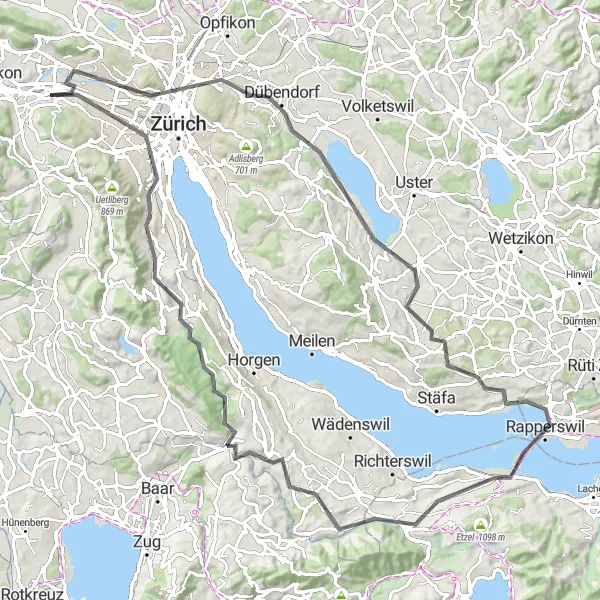
This route takes you on a scenic journey from Schlieren to Chäferberg and back. With a total distance of 96 kilometers and an ascent of 875 meters, it offers a challenging ride for well-trained cyclists. The highlight of the route is Chäferberg, where you can enjoy panoramic views of the surrounding countryside. Overall, this loop provides a great combination of challenging terrain and beautiful scenery.
road
96 km
875 m
Tough
Route profile
Highlights on the route
0 km
0 km
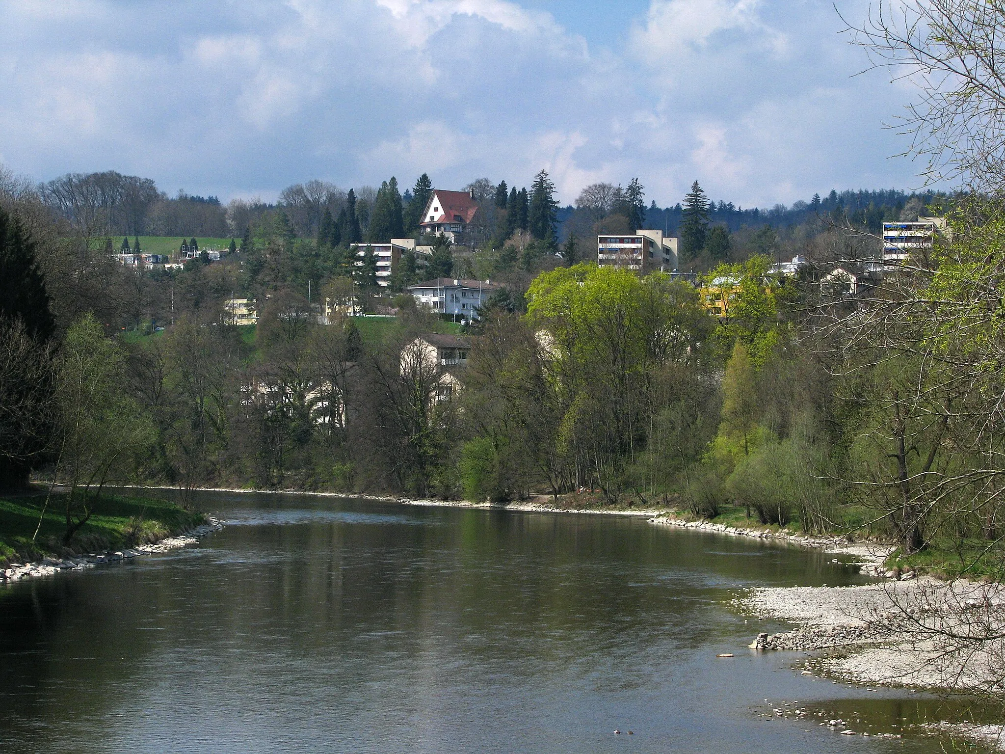
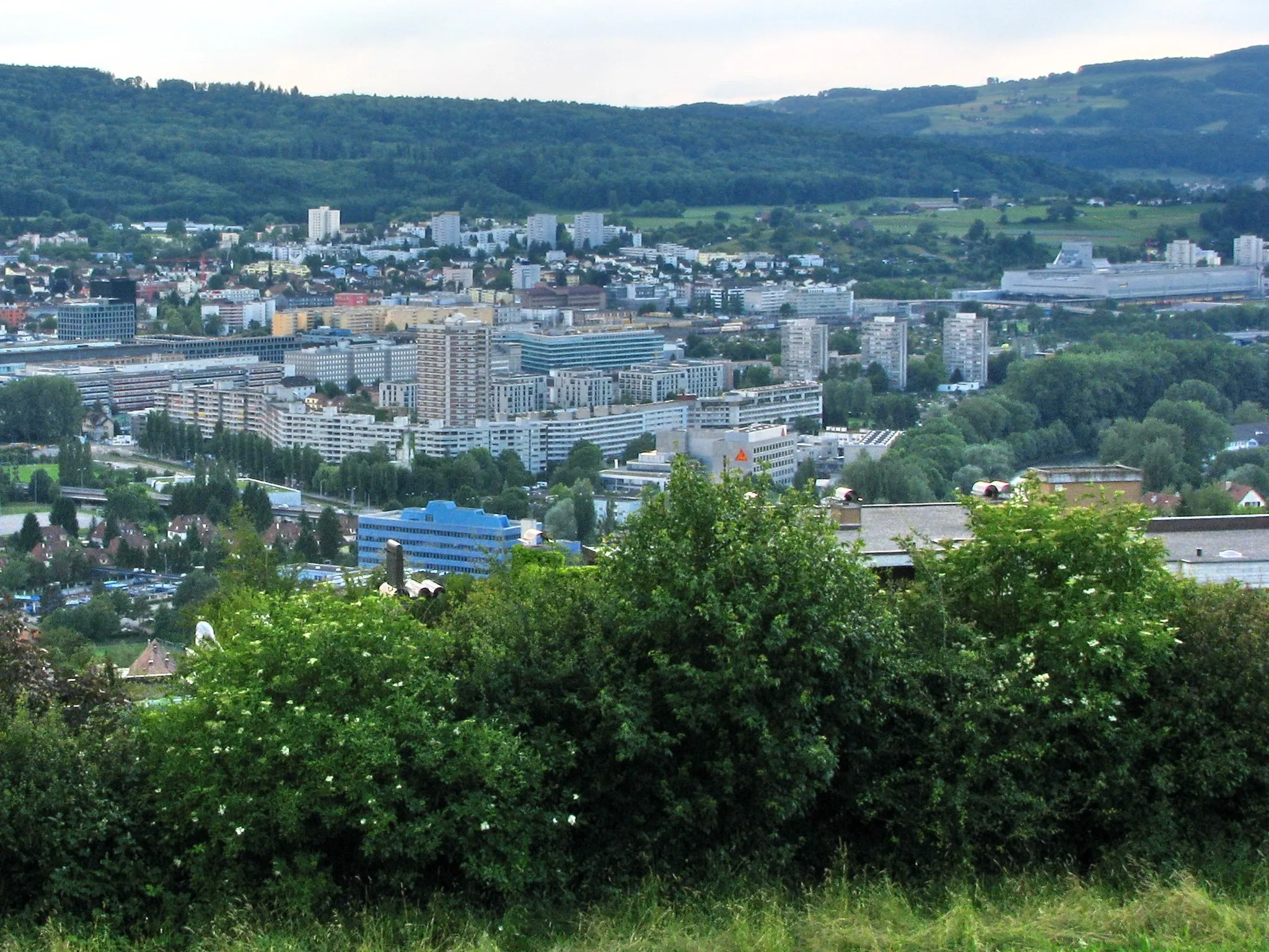
Start: Schlieren City centerSchlieren: Cycling through Scenic Switzerland
Schlieren in Zürich, Switzerland offers an excellent cycling experience with its well-developed cycling infrastructure and scenic routes. The locality is known for its extensive network of cycling paths that cater to all types of cyclists, including road and gravel cyclists. Schlieren is surrounded by beautiful landscapes and picturesque Swiss villages, providing breathtaking views during cycling rides. The nearby Albispass climb is a popular route for cyclists seeking a challenging ascent. Overall, Schlieren is a top destination for cyclists looking for well-maintained roads, varied terrain, and stunning scenery.7 km
7 km
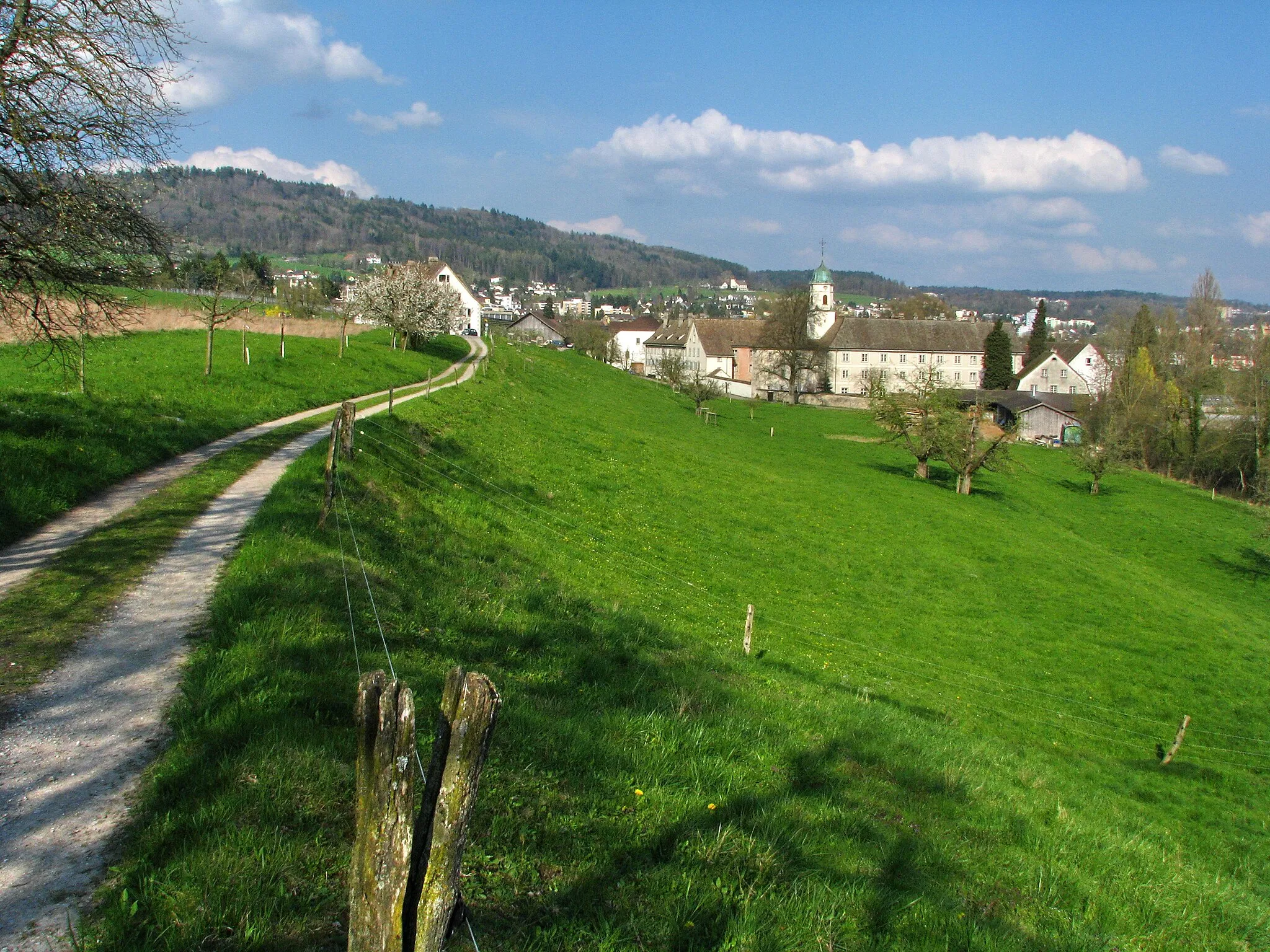
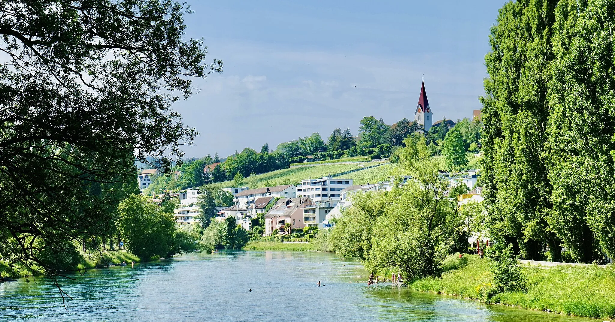
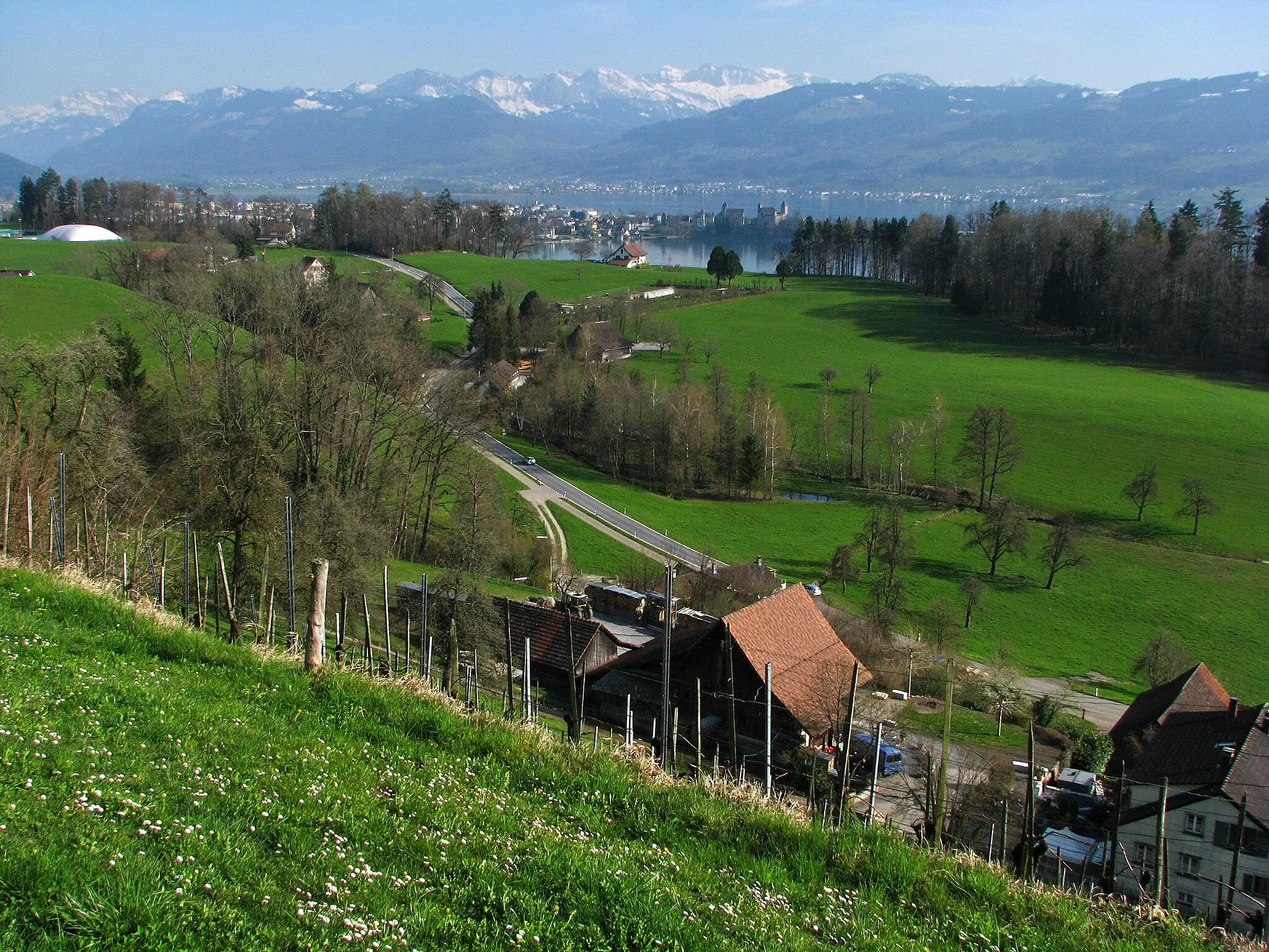
Chäferberg571 mPeakChäferberg offers breathtaking panoramic views of the surrounding countryside.
15 km
15 km
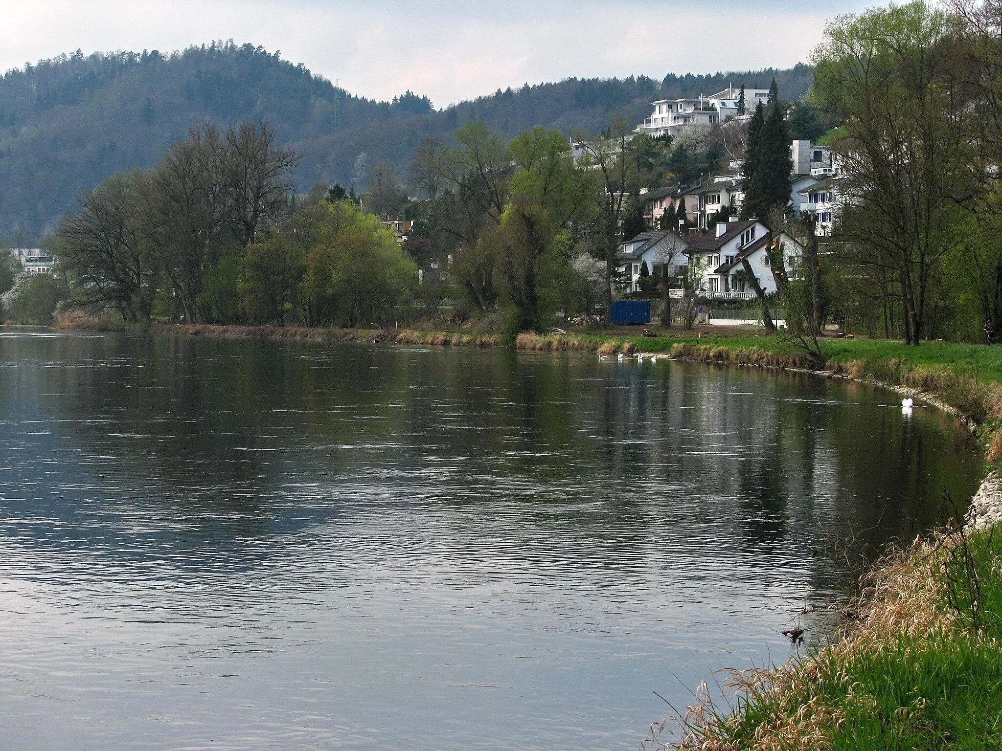
DübendorfTownDübendorf is a picturesque town worth exploring along the route.
38 km
38 km
BochslenViewpointBochslen offers a tranquil spot for a rest and picnic.
38 km
38 km
HombrechtikonVillageHombrechtikon is a charming village with quaint Swiss architecture.
52 km
52 km
FeusisbergVillage79 km
79 km
LangnauVillage80 km
80 km
RothirschViewpoint88 km
88 km
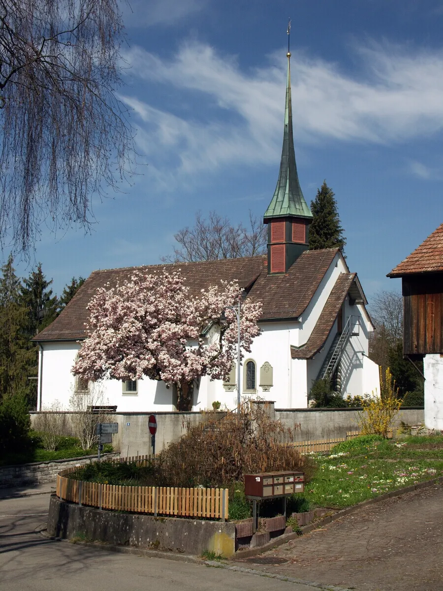
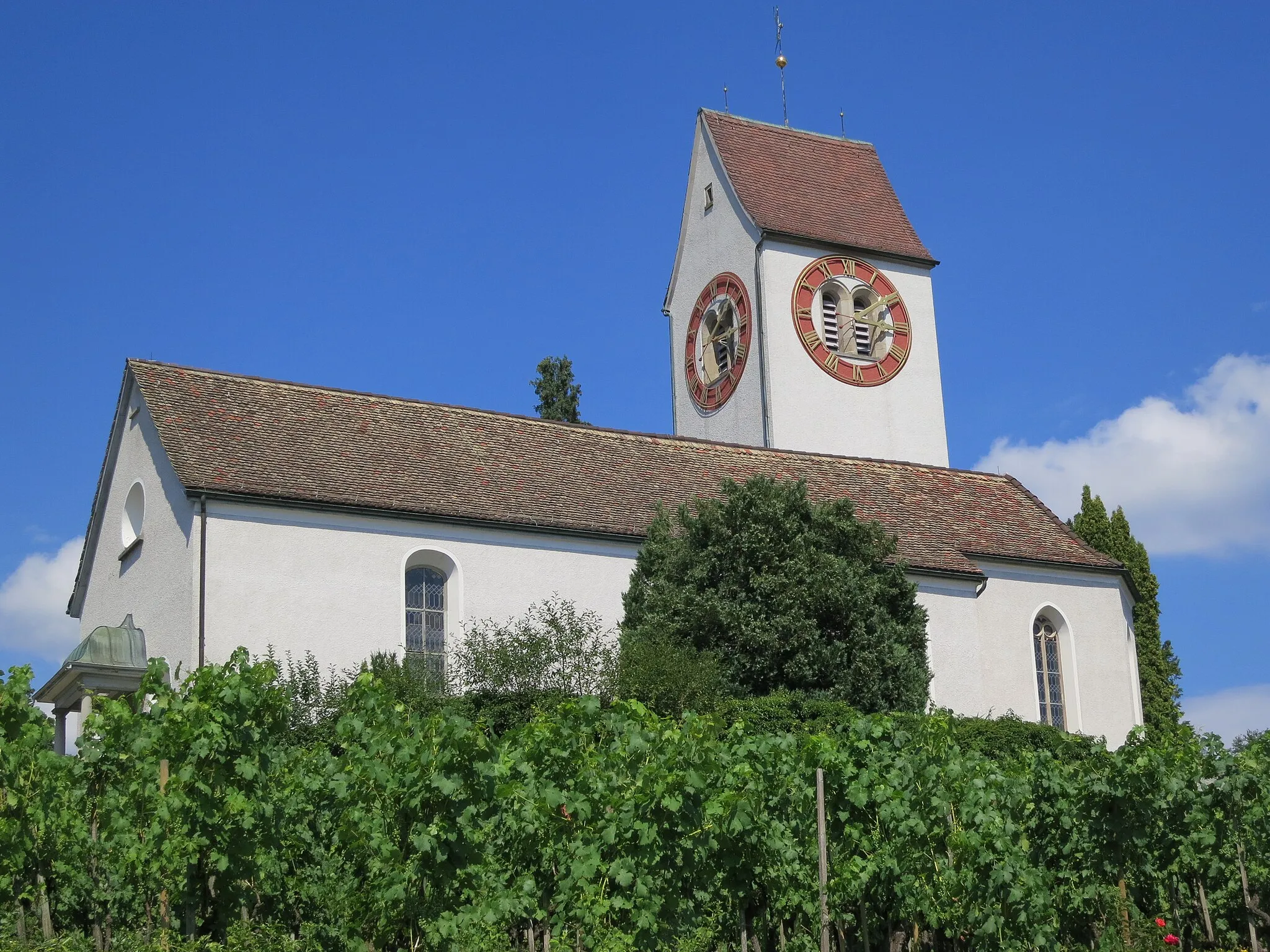
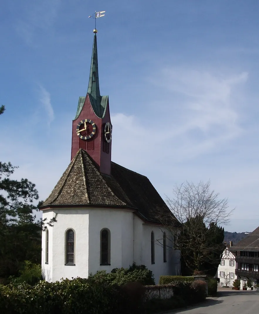
Kirche EngeViewpointKirche Enge is a beautiful church located along the route.
96 km
96 km
SchlierenTownSchlieren is the starting and ending point of the loop, offering various amenities for cyclists.
96 km
96 km
Finish: Schlieren City centerSchlieren: Cycling through Scenic Switzerland
Cycling routes nearby: