Schlieren - Hallwyl Loop
A road cycling route starting from Schlieren
Embark on a scenic journey to Schloss Hallwyl.
Map
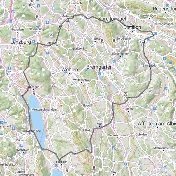
On this road cycling route, you'll ride from Schlieren to Schloss Hallwyl, covering a total distance of 81 kilometers with an ascent of 1364 meters. The highlight of the route is Foto-Spot Schloss Hallwyl, where you can capture stunning photos of the castle and its surroundings. Overall, this loop offers a challenging and rewarding cycling experience through beautiful Swiss countryside.
road
81 km
1364 m
Tough
Route profile
Highlights on the route
0 km
0 km
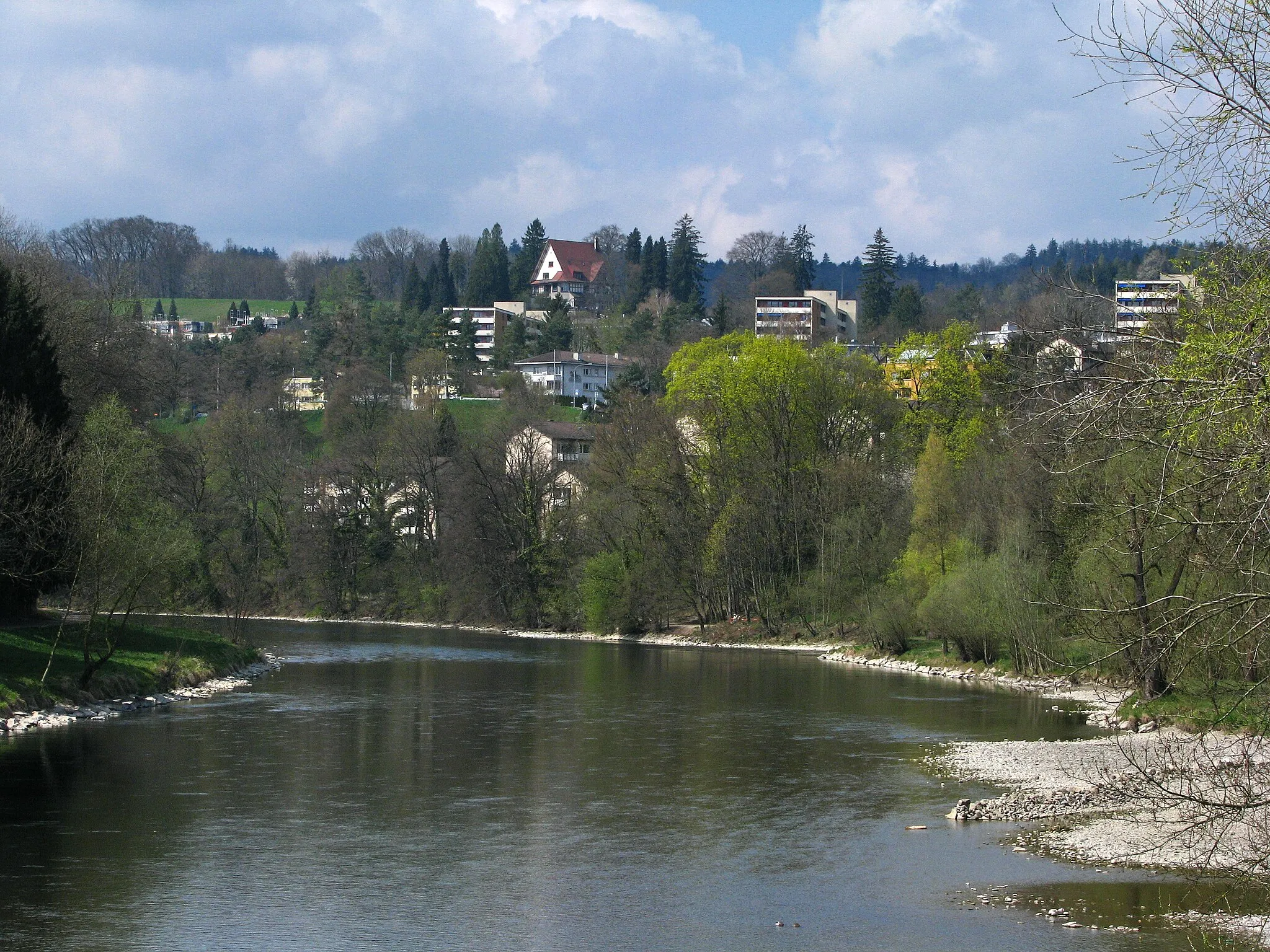
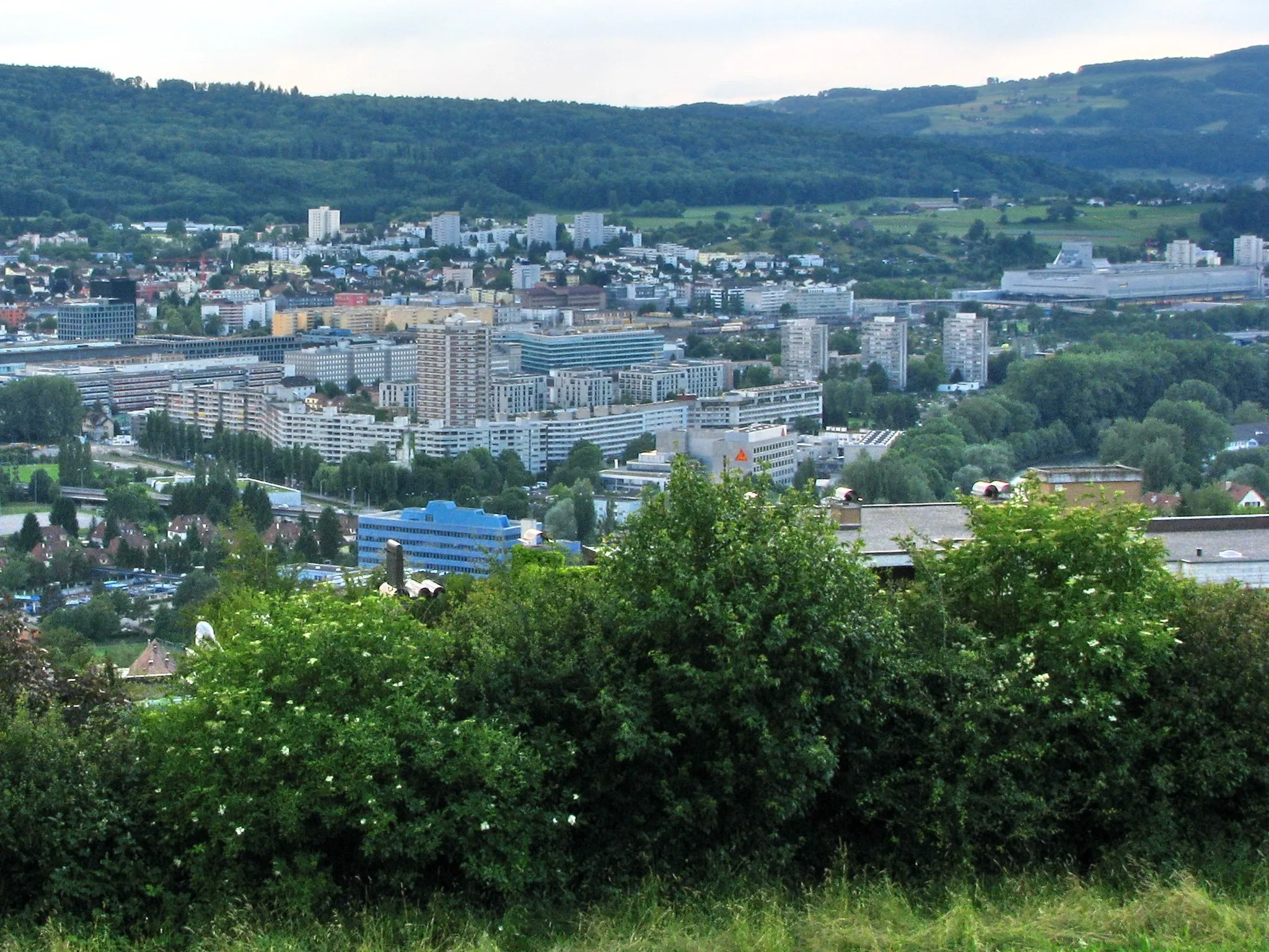
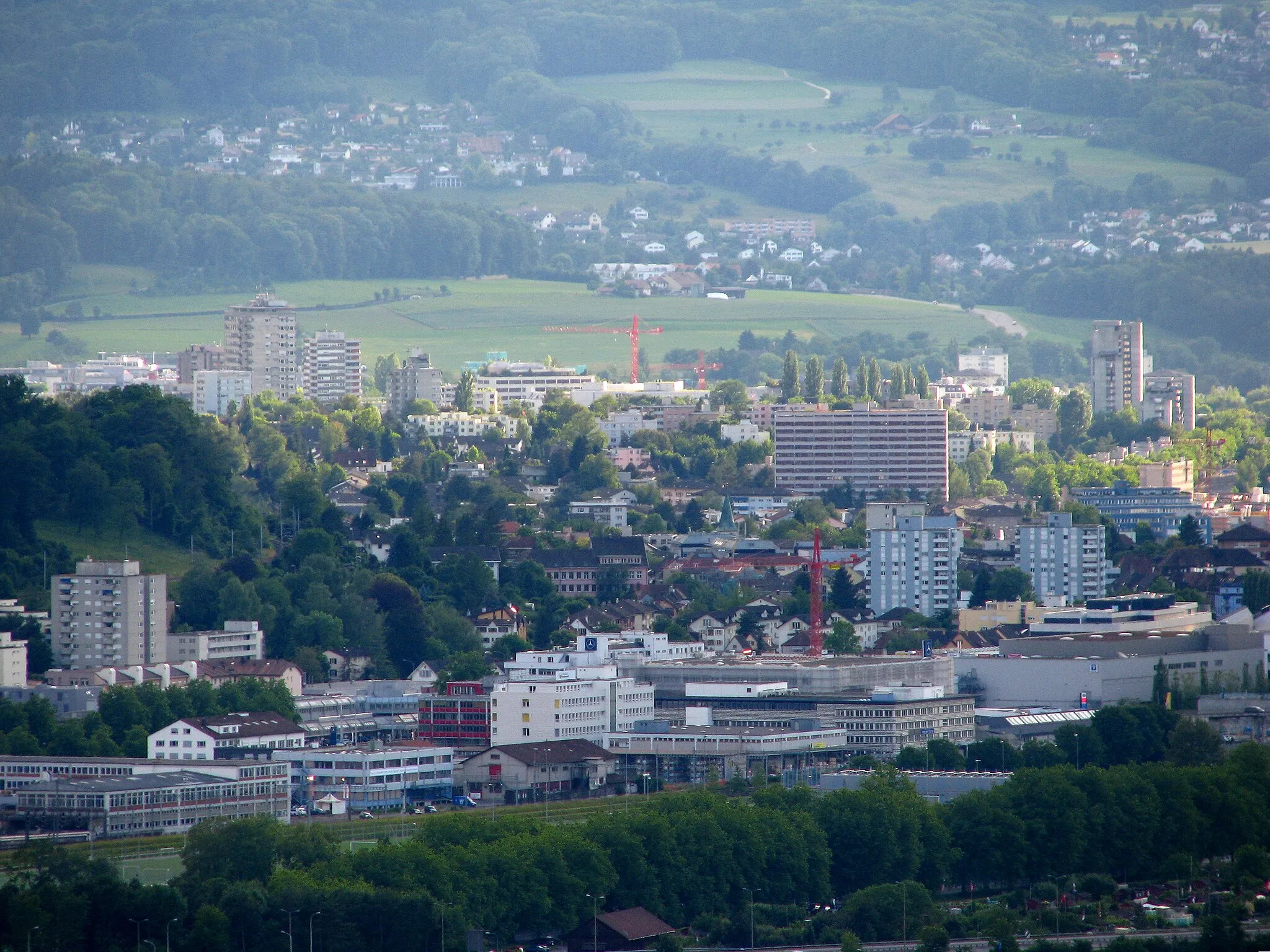
Start: Schlieren City centerSchlieren: Cycling through Scenic Switzerland
Schlieren in Zürich, Switzerland offers an excellent cycling experience with its well-developed cycling infrastructure and scenic routes. The locality is known for its extensive network of cycling paths that cater to all types of cyclists, including road and gravel cyclists. Schlieren is surrounded by beautiful landscapes and picturesque Swiss villages, providing breathtaking views during cycling rides. The nearby Albispass climb is a popular route for cyclists seeking a challenging ascent. Overall, Schlieren is a top destination for cyclists looking for well-maintained roads, varied terrain, and stunning scenery.2 km
2 km
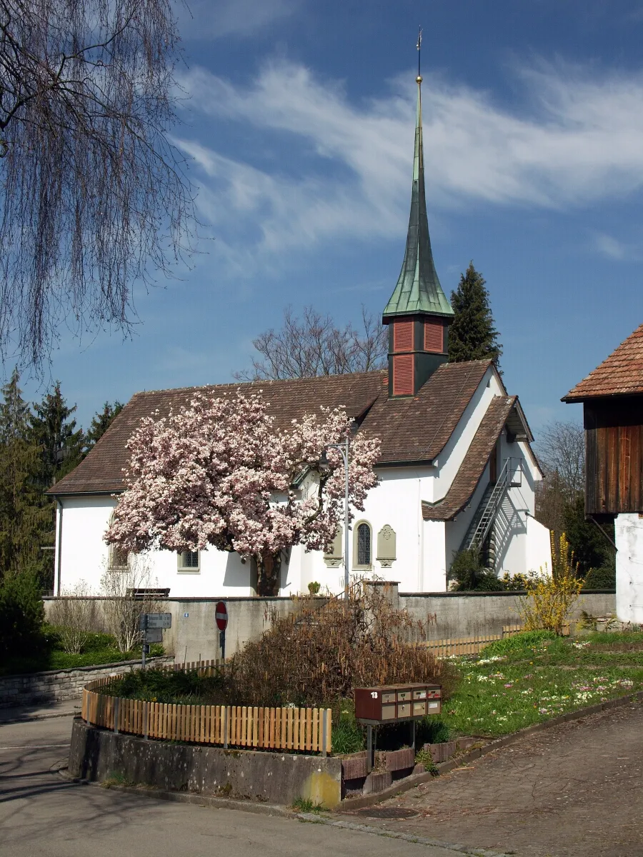
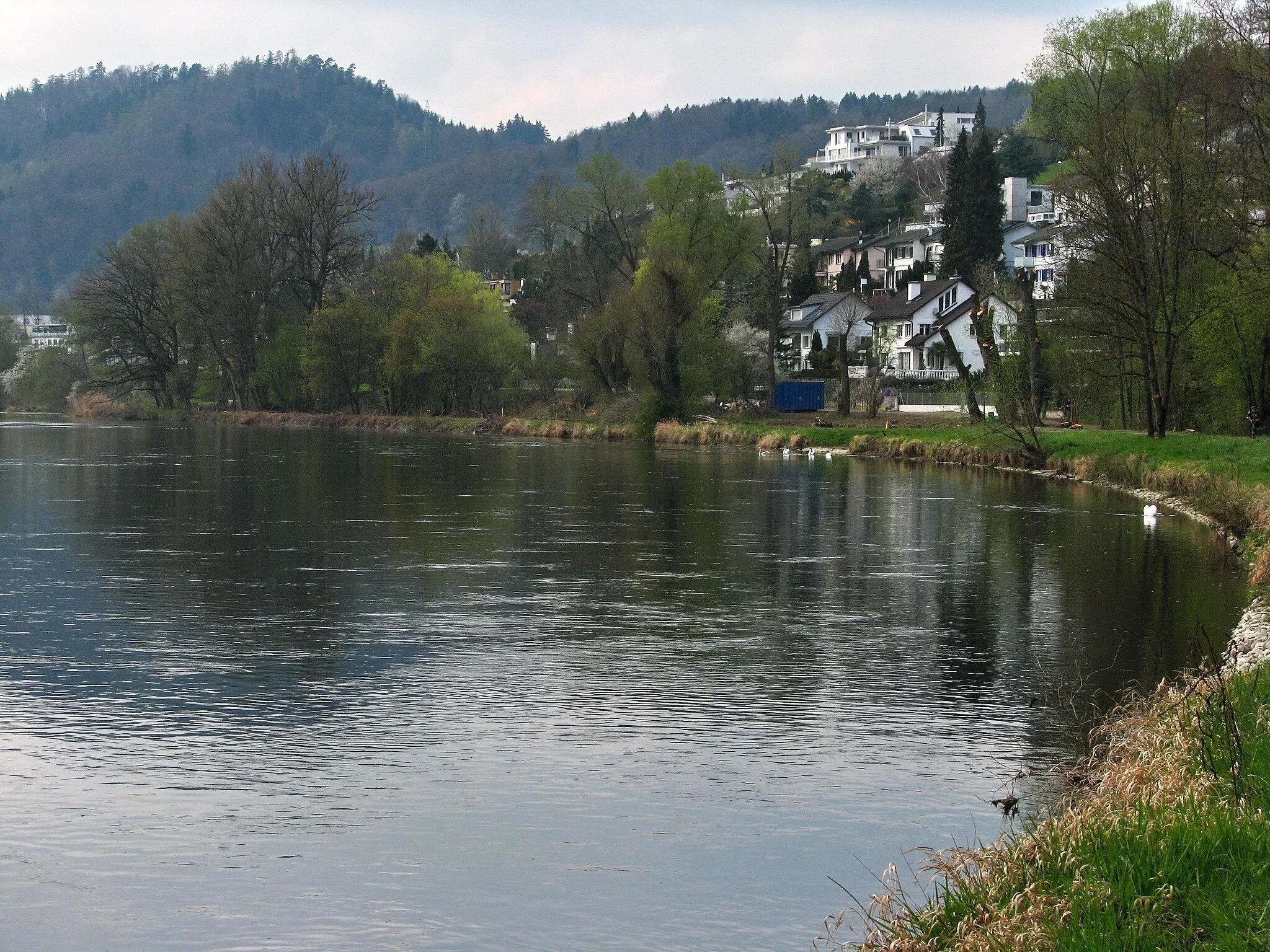
UrdorfVillageUrdorf is a charming village along the route.
22 km
22 km
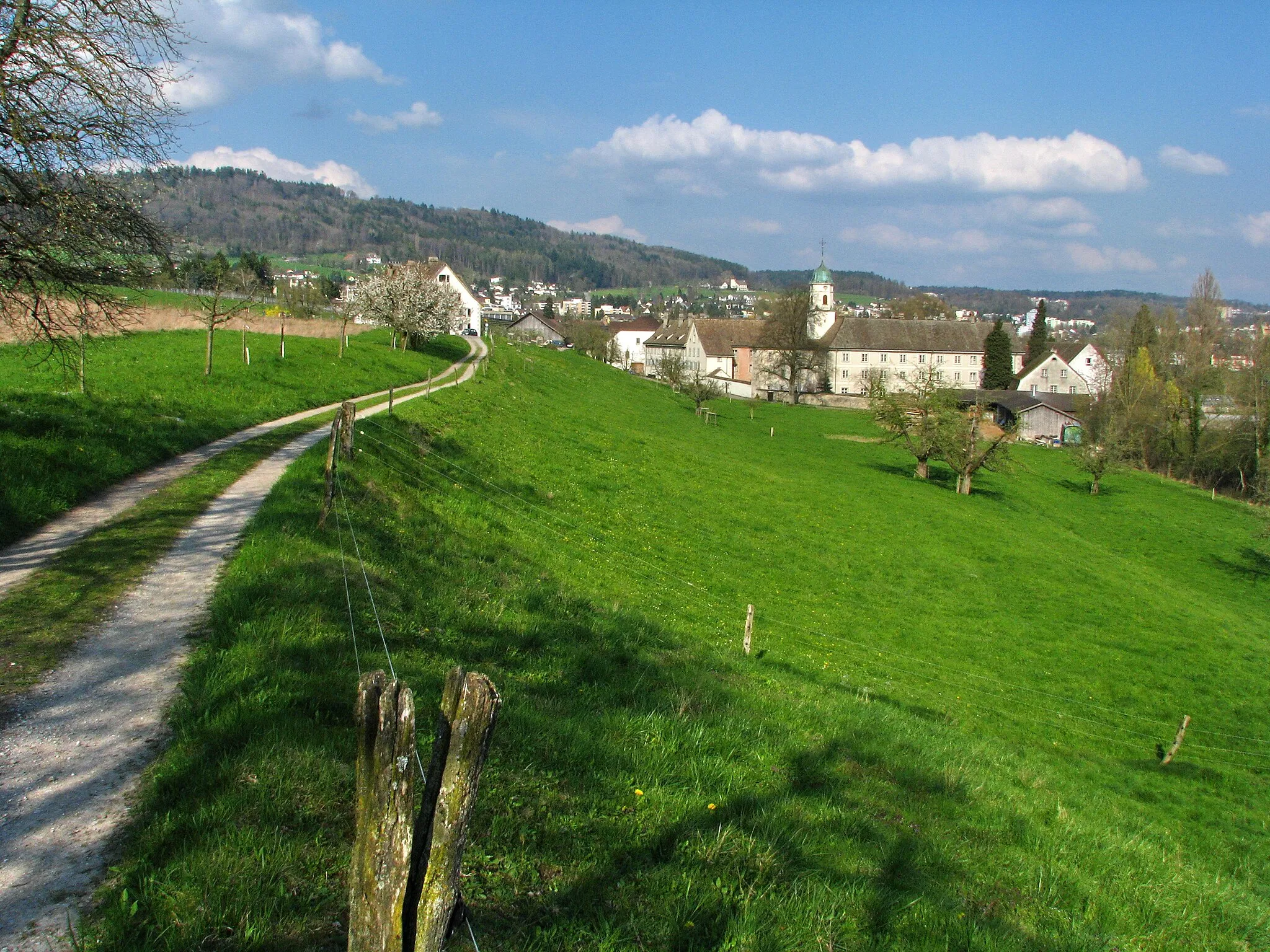
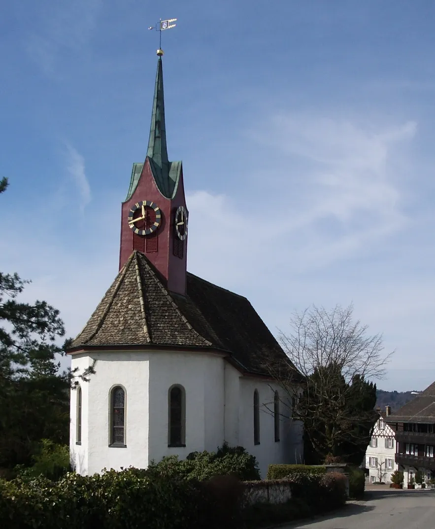
MuriVillageMuri is a historic town worth exploring.
45 km
45 km
BoniswilVillageBoniswil offers stunning views of nearby Lake Hallwil.
47 km
47 km
Foto-Spot Schloss HallwylViewpointFoto-Spot Schloss Hallwyl provides a perfect photography location.
64 km
64 km
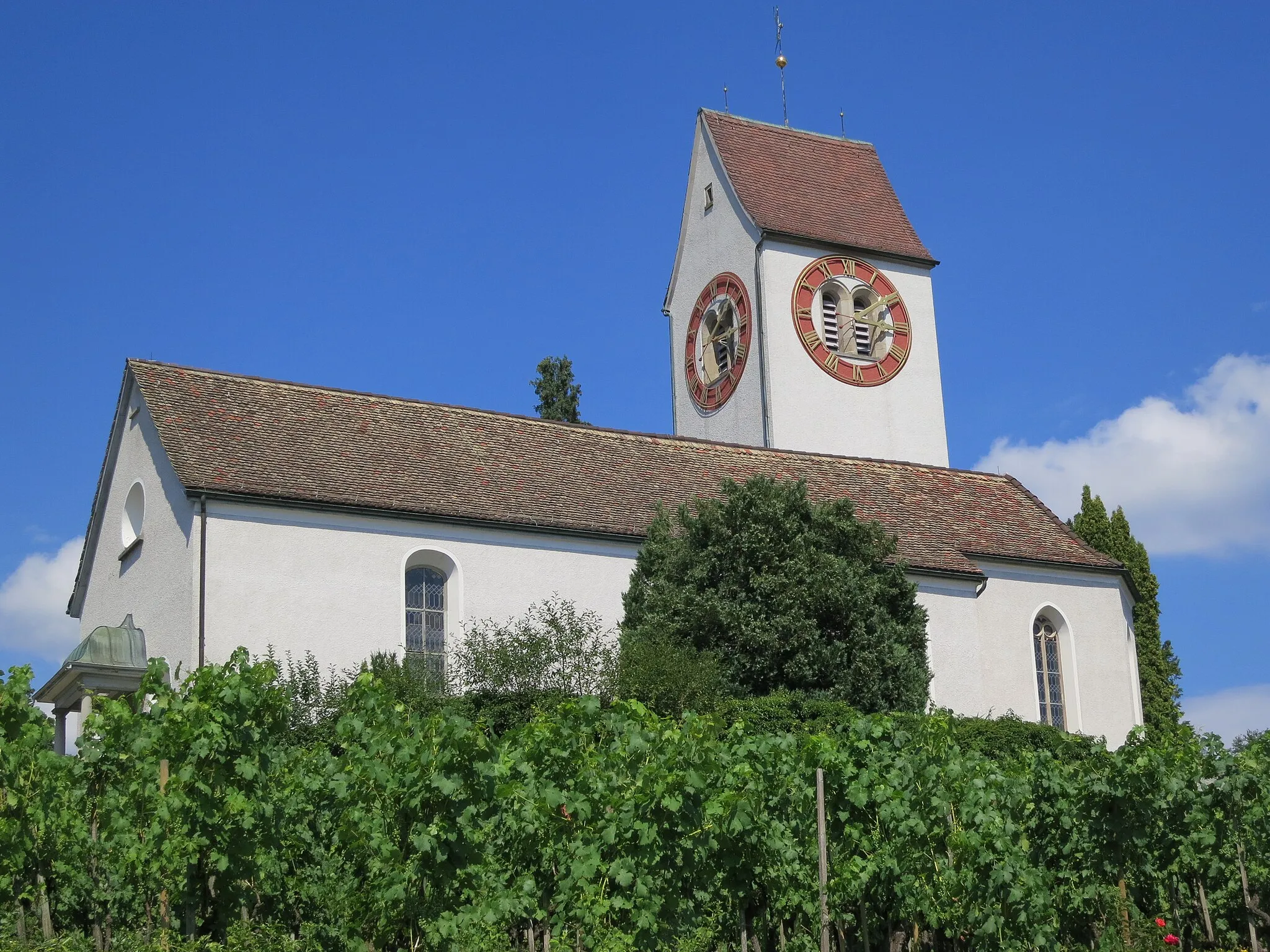
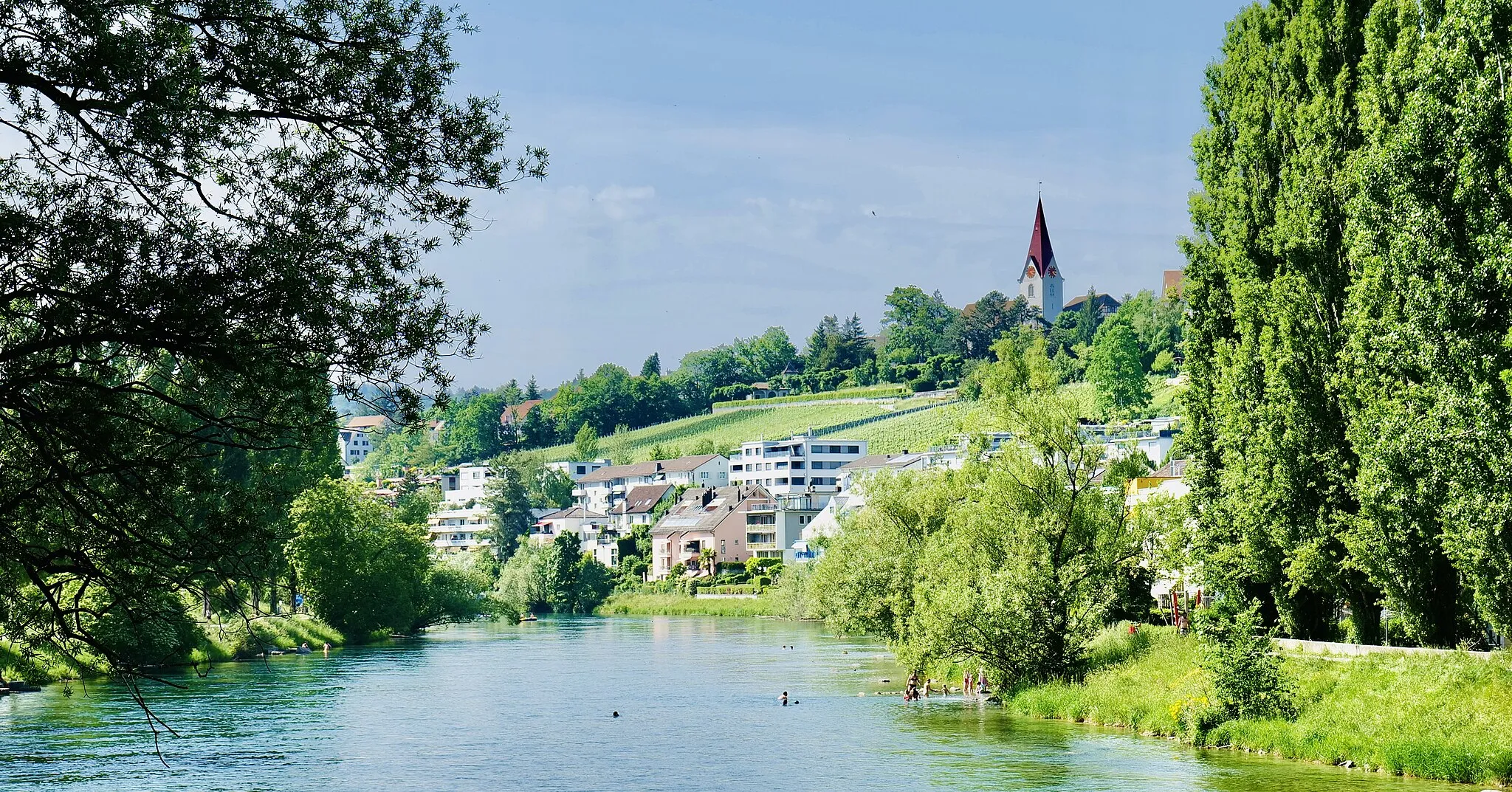
MellingenVillageMellingen is a quaint town with a historic district.
70 km
70 km
Heitersbergpass664 mMountain PassHeitersbergpass offers challenging terrain and beautiful views.
81 km
81 km
SchlierenTownSchlieren is the starting and ending point of the loop, offering various amenities for cyclists.
81 km
81 km
Finish: Schlieren City centerSchlieren: Cycling through Scenic Switzerland
Cycling routes nearby: