Cold Ash Gravel Exploration
A gravel cycling route starting from Cold Ash
Embark on an exciting gravel adventure through stunning landscapes and historic landmarks.
Map

Discover the enchantment of gravel riding on this scenic cycling route that takes you through breathtaking landscapes and highlights historical landmarks. With a challenging ascent of 635 meters and a total distance of 53 kilometers, this off-road adventure is suitable for experienced gravel riders. Departing from Cold Ash, you will encounter various terrains, picturesque villages, and iconic sites along the way. From gentle climbs to exhilarating descents, this route provides an adventurous journey for cyclists seeking to experience the beauty and thrill of off-road biking in Berkshire, Buckinghamshire, and Oxfordshire.
gravel
53 km
635 m
Tough
Route profile
Highlights on the route
0 km
0 km
Start: Cold Ash Village centerCold Ash: Cycling Paradise in Berkshire, Buckinghamshire and Oxfordshire
Cold Ash is a locality in the Berkshire, Buckinghamshire and Oxfordshire region of the United Kingdom. From a cyclist's perspective, Cold Ash offers quiet country roads and rolling hills, making it an ideal destination for road and gravel cycling. The area boasts several well-known climbs, including Climb XYZ, which attract cyclists looking for a challenge. Cold Ash is a great place for cycling enthusiasts, offering picturesque views and peaceful routes.10 km
10 km
Wash CommonSub-urbWash Common, at 10 kilometers, offers a peaceful and serene atmosphere with beautiful green spaces and pleasant walking trails.
18 km
18 km
Pilot Hill286 mPeakPilot Hill, reached at the 18-kilometer mark, is the highest point in Hampshire and rewards riders with breathtaking views over the surrounding countryside.
20 km
20 km
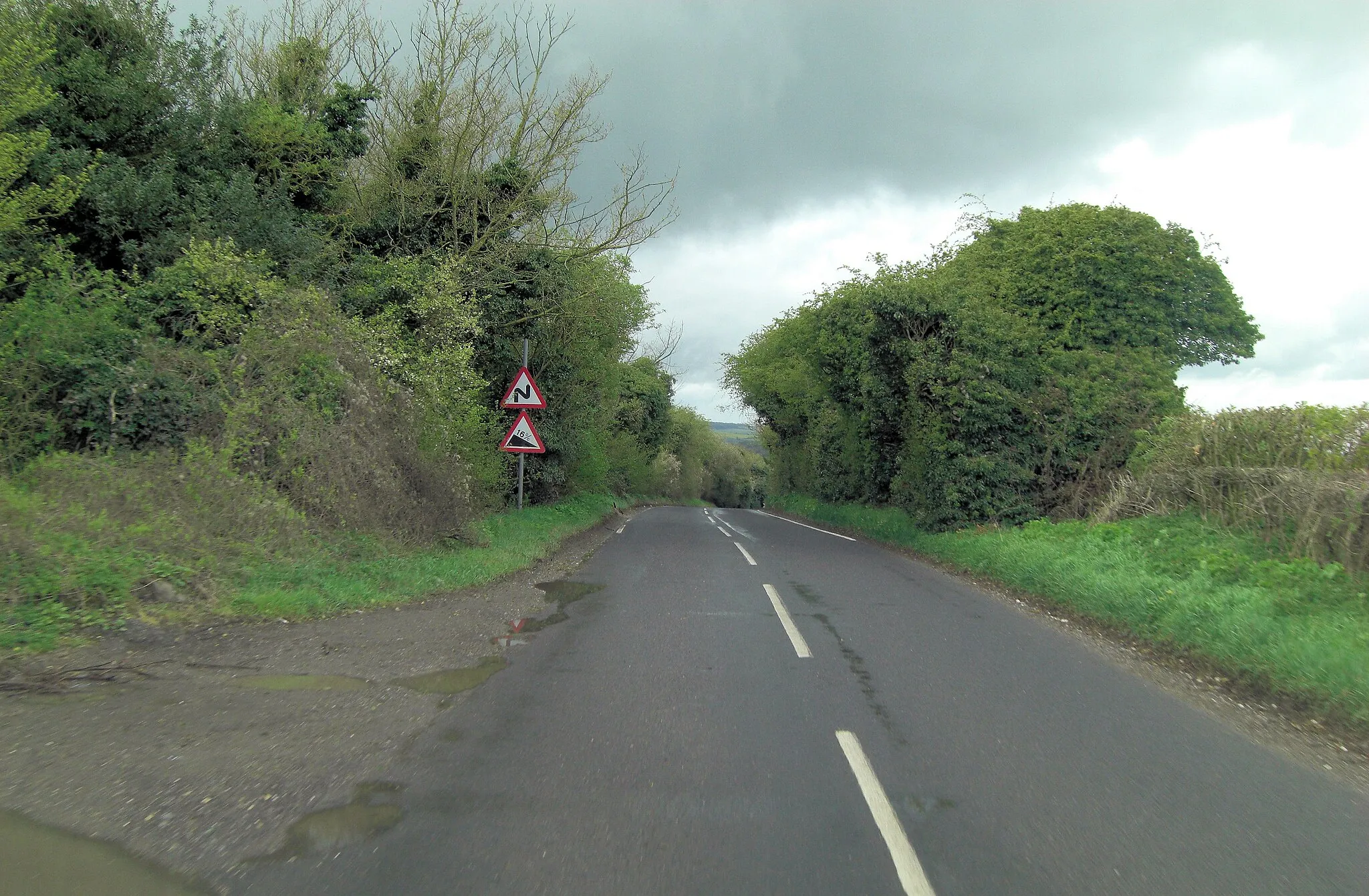
FaccombeVillageFaccombe, situated 20 kilometers into the route, is a charming village surrounded by idyllic landscapes and rolling hills.
31 km
31 km
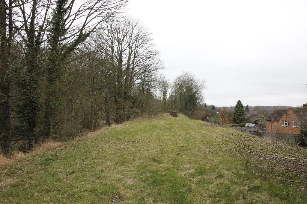
Gallows Down280 mPeakGallows Down, at 31 kilometers, is known for its ancient history and provides a unique setting with stunning vistas stretching over the countryside.
36 km
36 km
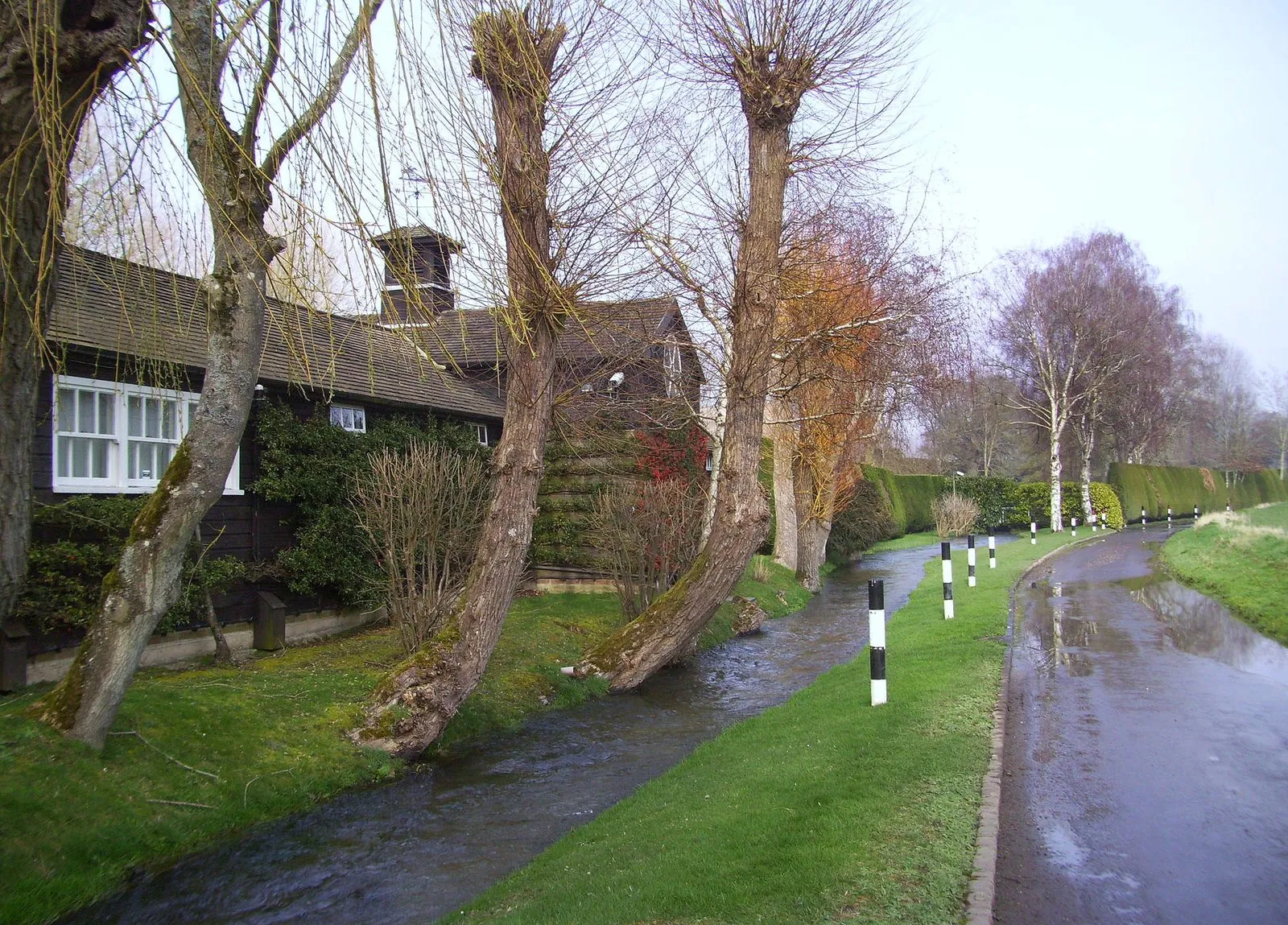
KintburyVillageKintbury, found at the 36-kilometer mark, is a quaint village featuring traditional architecture, cozy pubs, and a tranquil canal.
44 km
44 km
Bridge Over RiverViewpointThe Bridge Over River, located 44 kilometers into the route, offers a perfect spot to rest and enjoy the scenic views spanning the flowing water.
46 km
46 km
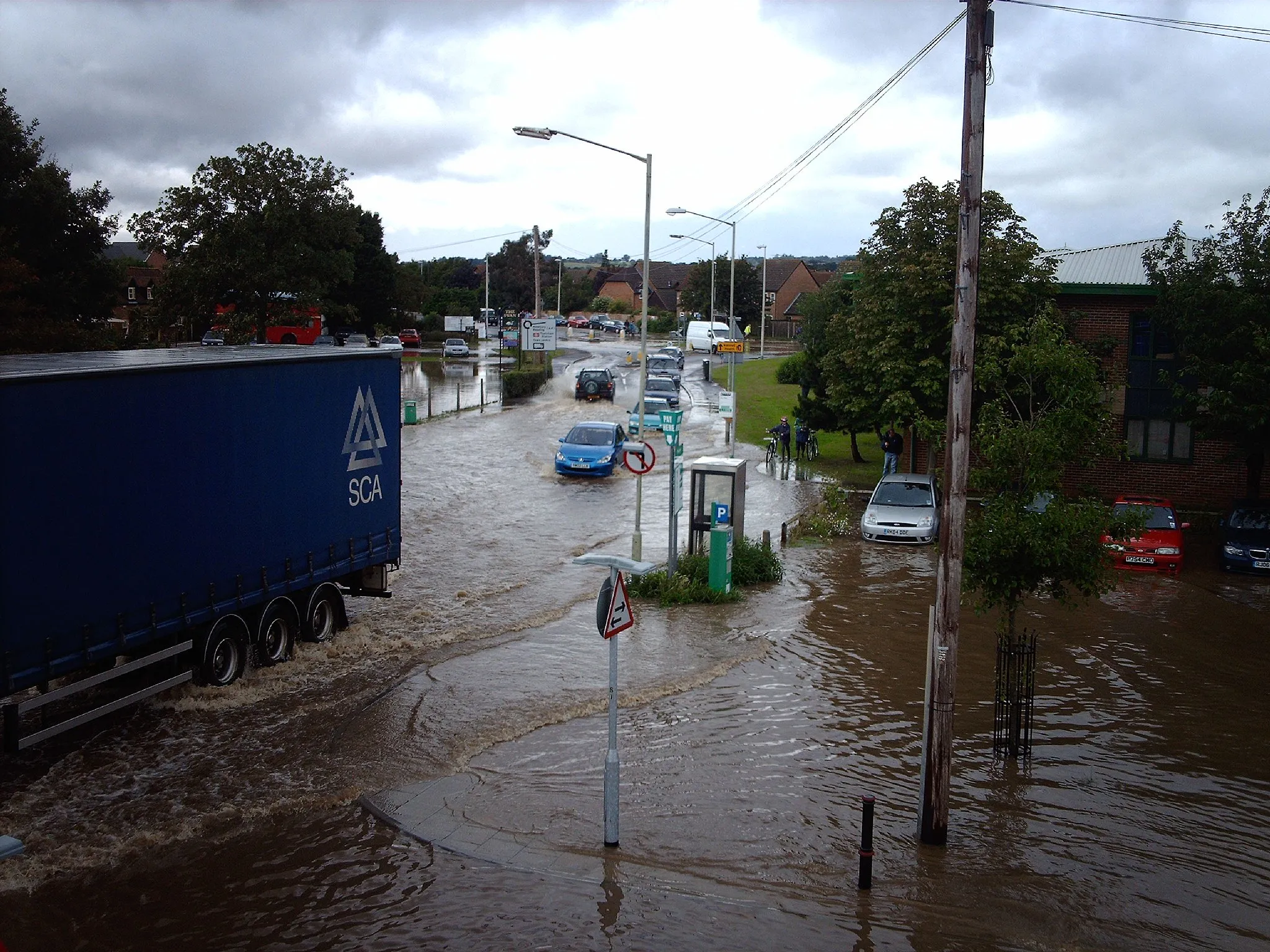
NewburyTownNewbury, marked at 46 kilometers, is a historic market town featuring a blend of modern amenities and medieval buildings.
53 km
53 km
Cold AshVillageCold Ash, serving as the starting and ending point, is a peaceful village with lovely countryside surroundings, providing a perfect base for outdoor adventures.
53 km
53 km
Finish: Cold Ash Village centerCold Ash: Cycling Paradise in Berkshire, Buckinghamshire and Oxfordshire
Cycling routes nearby: