![Cover image](https://images.tarmacs.app/cycling-routes/photos/united-kingdom/gloucestershire-wiltshire-and-bristol-bath-area/532742270/great-bedwyn-1.webp)
The Froxfield Feat
A gravel cycling route starting from Hungerford
Experience the beauty of Froxfield on this gravel route
Map
![Map miniature of "The Froxfield Feat" cycling inspiration in Berkshire, Buckinghamshire and Oxfordshire, United Kingdom. Generated by Tarmacs.app cycling route planner](https://images.tarmacs.app/cycling-routes/routemaps/600/united-kingdom/berkshire-buckinghamshire-and-oxfordshire/hungerford/gravel/152507.webp)
The Froxfield Feat takes riders on a 42km journey through the stunning countryside of Berkshire. With a manageable ascent of 299m, this gravel route is suitable for those looking for a shorter yet equally enjoyable ride. Highlights along the way include Great Bedwyn, Easton Royal, and Froxfield itself.
gravel
42 km
299 m
Chill
Route profile
Highlights on the route
0 km
0 km
Start: Hungerford City centerHungerford: Unleash your cycling potential in stunning Hungerford.
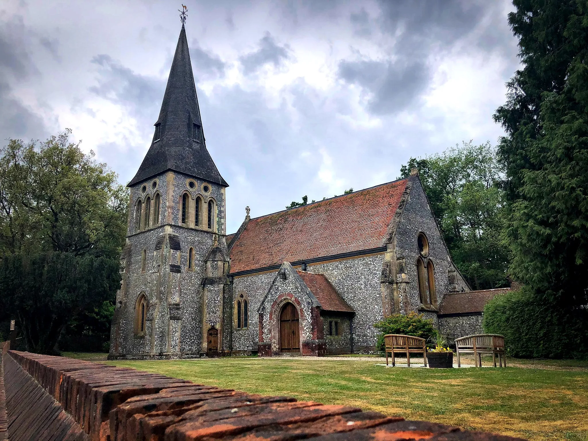
Hungerford, located in the Berkshire, Buckinghamshire and Oxfordshire region of the United Kingdom, is a cyclist's paradise. The town boasts a variety of cycling routes suitable for both road and gravel enthusiasts. Cyclists can explore the undulating hills of the North Wessex Downs, visit nearby Savernake Forest, or take on the challenge of climbing Walbury Hill - the highest point in the southeast of England. Hungerford also hosts a popular annual cycling event, the Hungerford Hares Sportive, attracting cyclists from near and far.8 km
8 km
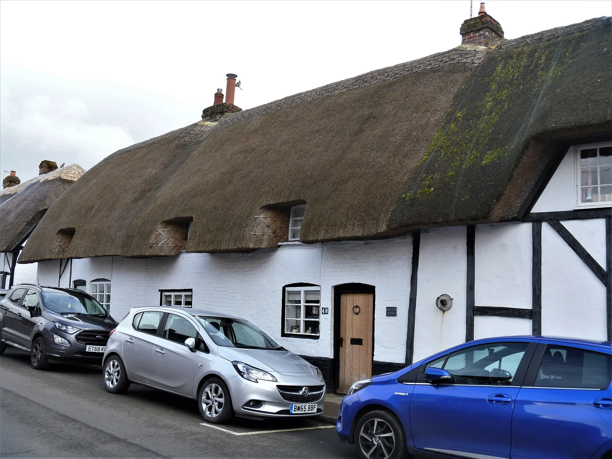
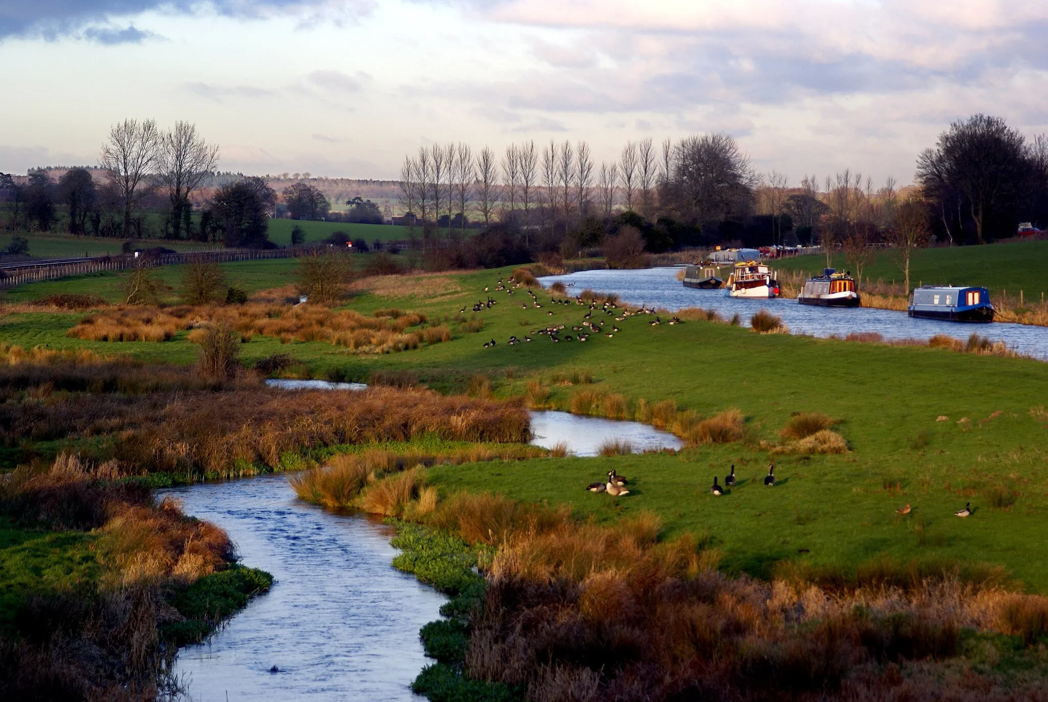
Great BedwynVillageGreat Bedwyn is a historic village boasting a 13th-century church, scenic canal walks, and charming thatched cottages.
17 km
17 km
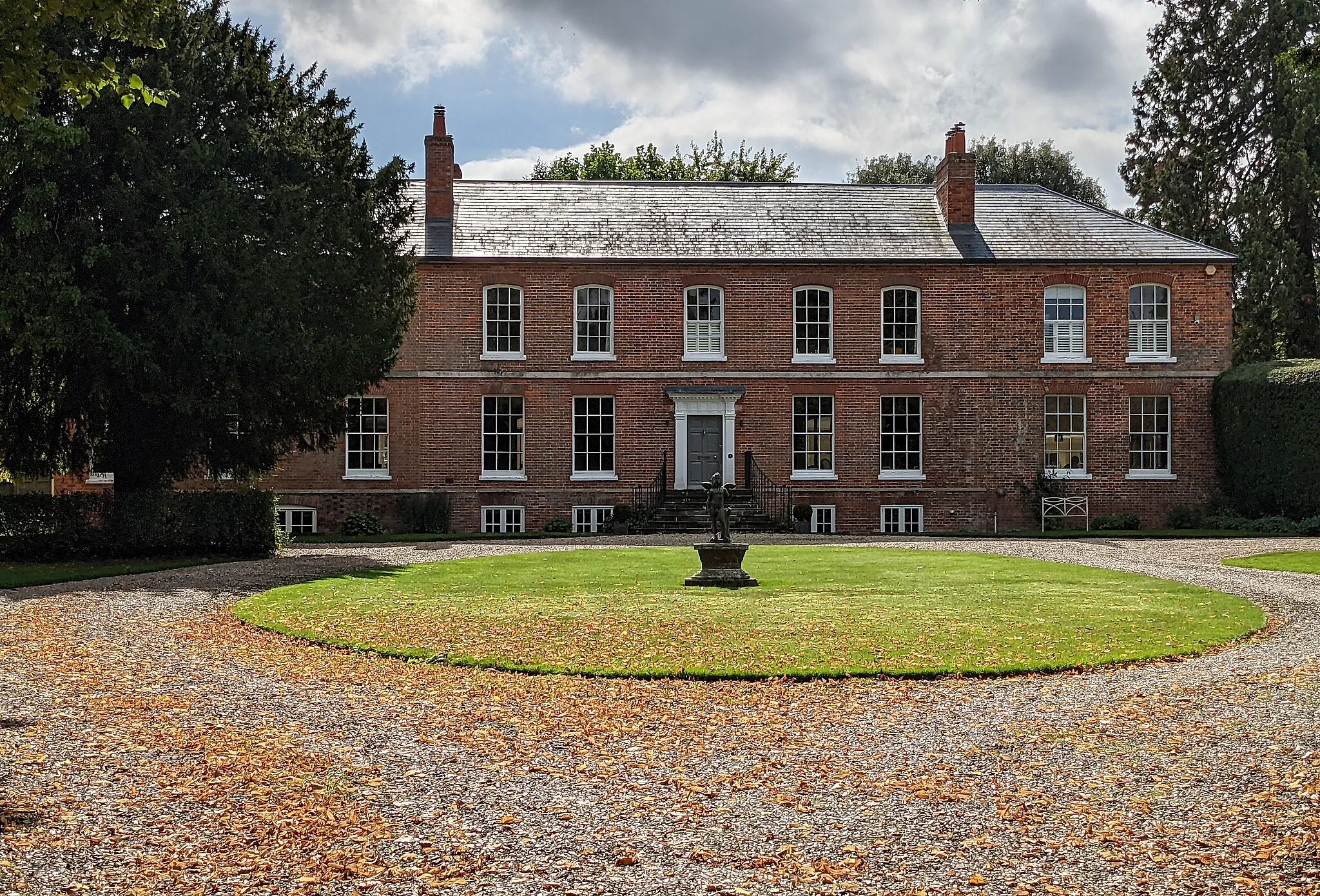
Easton RoyalVillageEaston Royal is a picturesque village nestled in the heart of the Wiltshire countryside, offering a pleasant and peaceful ride.
37 km
37 km
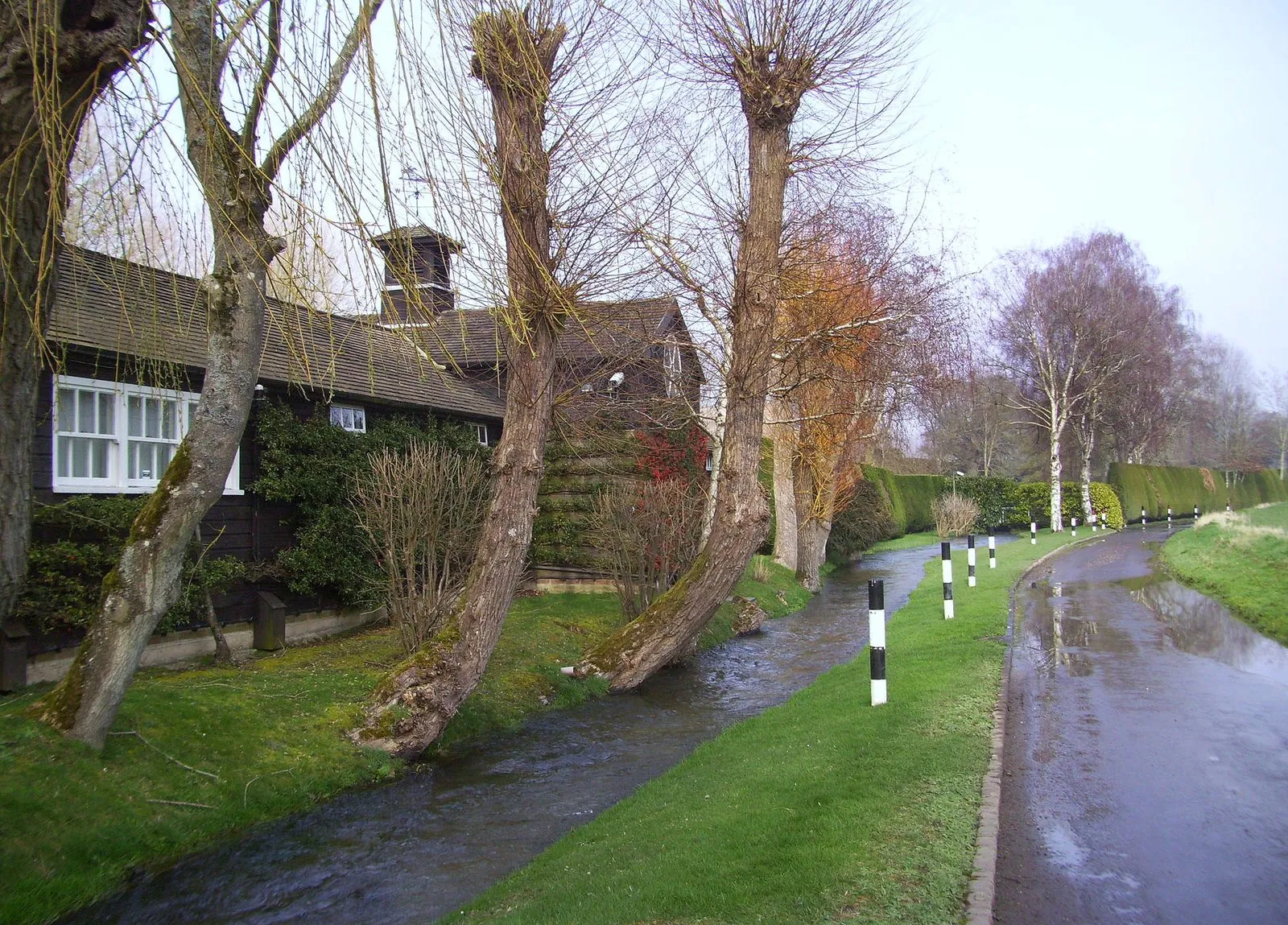
FroxfieldVillage42 km
42 km
Finish: Hungerford City centerHungerford: Unleash your cycling potential in stunning Hungerford.
Cycling routes nearby:
![Image of Kintbury](https://images.tarmacs.app/cycling-routes/covers/united-kingdom/berkshire-buckinghamshire-and-oxfordshire/kintbury-4.webp)
![Image of Ramsbury](https://images.tarmacs.app/cycling-routes/covers/united-kingdom/gloucestershire-wiltshire-and-bristol-bath-area/ramsbury-5.webp)
![Image of Aldbourne](https://images.tarmacs.app/cycling-routes/covers/united-kingdom/gloucestershire-wiltshire-and-bristol-bath-area/aldbourne-3.webp)
![Image of Lambourn](https://images.tarmacs.app/cycling-routes/covers/united-kingdom/berkshire-buckinghamshire-and-oxfordshire/lambourn-5.webp)
![Image of Winterbourne](https://images.tarmacs.app/cycling-routes/covers/united-kingdom/berkshire-buckinghamshire-and-oxfordshire/winterbourne-5.webp)
![Image of Burbage](https://images.tarmacs.app/cycling-routes/covers/united-kingdom/gloucestershire-wiltshire-and-bristol-bath-area/burbage-5.webp)
![Image of Highclere](https://images.tarmacs.app/cycling-routes/covers/united-kingdom/hampshire-and-isle-of-wight/highclere-5.webp)
![Image of Newbury](https://images.tarmacs.app/cycling-routes/covers/united-kingdom/berkshire-buckinghamshire-and-oxfordshire/newbury-3.webp)