The Gravel Trail to Steeple Claydon
A gravel cycling route starting from Wing
Embark on a gravel cycling adventure through scenic countryside paths to Steeple Claydon
Map
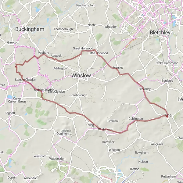
Take on the challenge of gravel cycling with this route to Steeple Claydon. Covering a distance of 53 kilometers and featuring an ascent of 337 meters, the route offers a moderate level of difficulty suitable for gravel bike enthusiasts. Highlights along the way include Cublington, Steeple Claydon, Little Horwood, and Stewkley. Immerse yourself in the tranquility of the countryside and explore the scenic paths and charming villages.
gravel
53 km
337 m
Chill
Route profile
Highlights on the route
0 km
0 km
Start: Wing Village centerWing: Embrace the tranquility of Wing's countryside and conquer the thrilling Whiteleaf Hill.
Wing, located in the Berkshire, Buckinghamshire, and Oxfordshire region of the United Kingdom, is a cyclist-friendly locality with its extensive network of roads and cycling paths. Road and gravel cyclists can explore the charming countryside and picturesque villages in the surrounding area. Wing is known for its gentle rolling hills, making it ideal for leisurely rides and scenic adventures. One of the famous cycling routes nearby is the Whiteleaf Hill, which offers a challenging climb and rewarding views at the summit.4 km
4 km
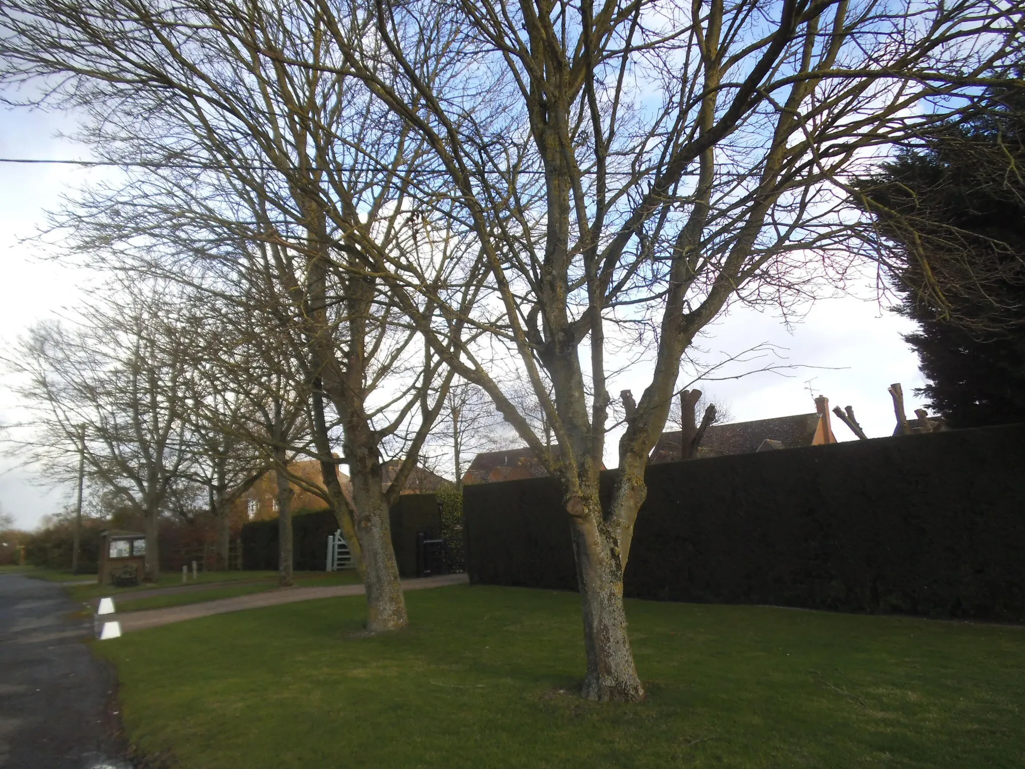
CublingtonVillageCublington offers picturesque views of the rolling countryside and traditional English cottages
23 km
23 km
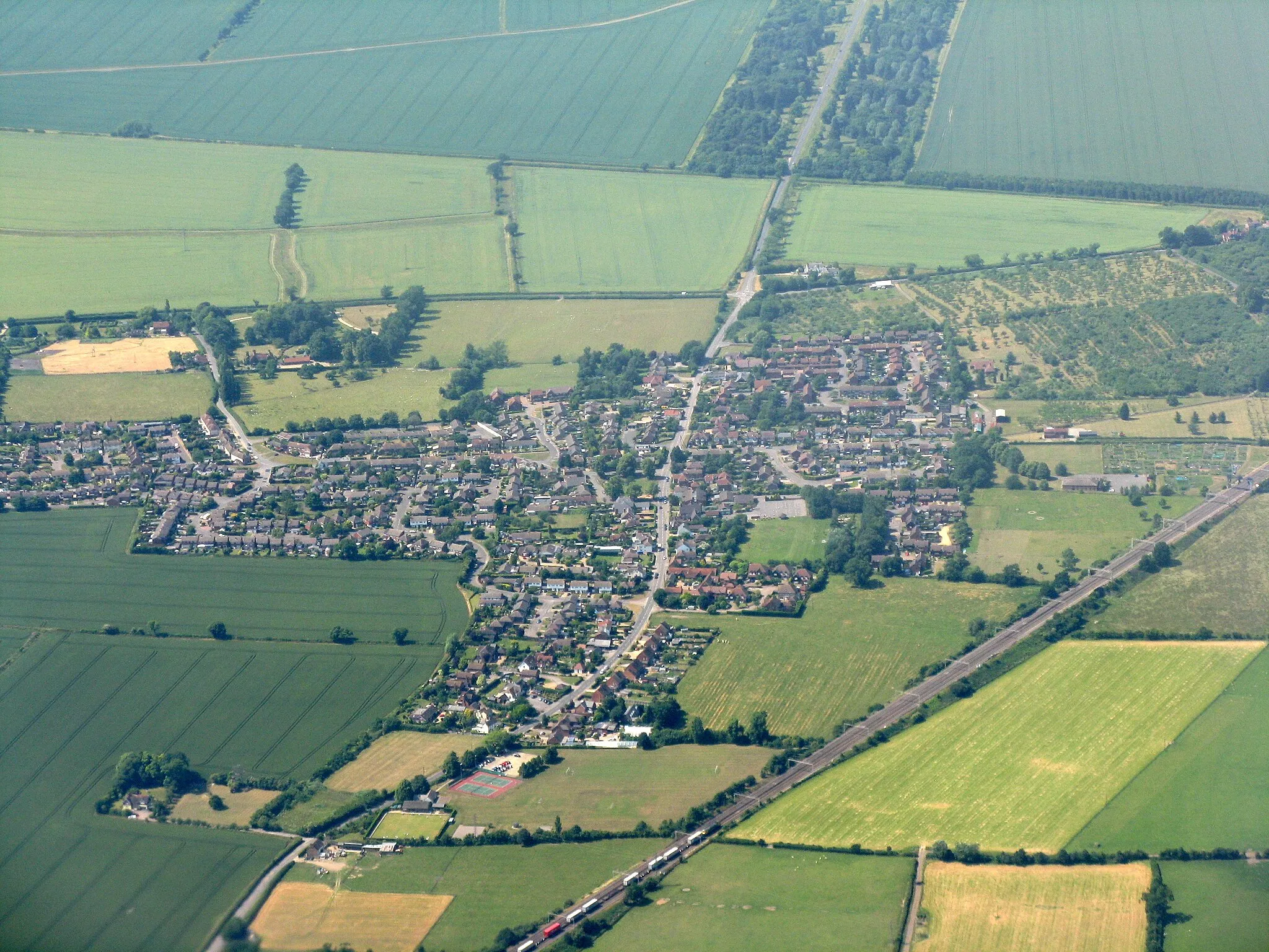
Steeple ClaydonVillageSteeple Claydon is a charming village with its historic buildings and tranquil atmosphere
39 km
39 km
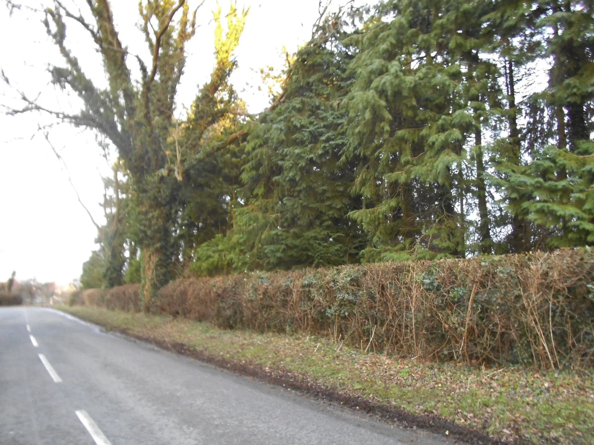
Little HorwoodVillageLittle Horwood offers a peaceful escape with beautiful countryside views
48 km
48 km
StewkleyVillageStewkley is known for its picturesque landscapes and attractive village green
53 km
53 km
Finish: Wing Village centerWing: Embrace the tranquility of Wing's countryside and conquer the thrilling Whiteleaf Hill.
Cycling routes nearby: