The Countryside Grand Tour
A road cycling route starting from Wing
Embark on a scenic road biking adventure through the idyllic countryside surrounding Wing.
Map
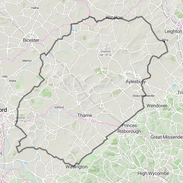
With a total distance of 127 kilometers and an ascent of 537 meters, this road cycling route showcases the beauty of the Oxfordshire, Buckinghamshire, and Berkshire countryside. You'll ride through picturesque villages, rolling hills, and enjoy breathtaking views. Don't miss out on the opportunity to explore the charming towns and stunning landscapes on this epic countryside grand tour.
road
127 km
537 m
Tough
Route profile
Highlights on the route
0 km
0 km
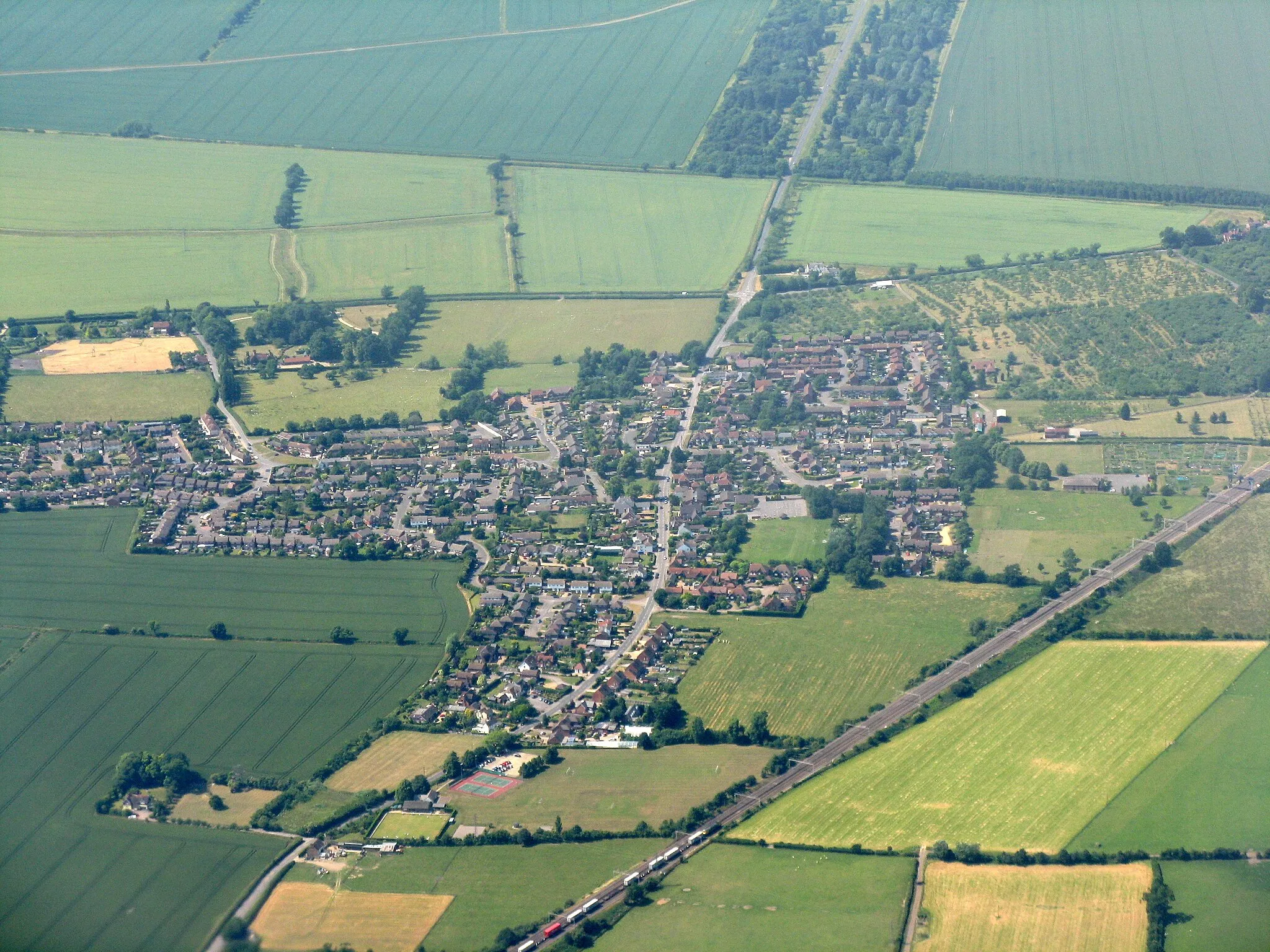
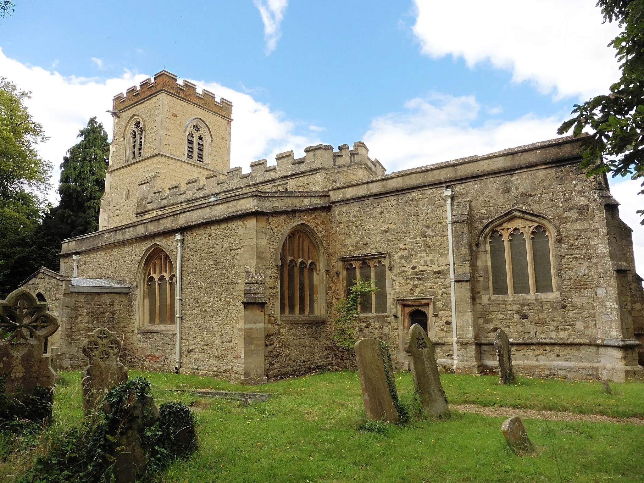
Start: Wing Village centerWing: Embrace the tranquility of Wing's countryside and conquer the thrilling Whiteleaf Hill.
Wing, located in the Berkshire, Buckinghamshire, and Oxfordshire region of the United Kingdom, is a cyclist-friendly locality with its extensive network of roads and cycling paths. Road and gravel cyclists can explore the charming countryside and picturesque villages in the surrounding area. Wing is known for its gentle rolling hills, making it ideal for leisurely rides and scenic adventures. One of the famous cycling routes nearby is the Whiteleaf Hill, which offers a challenging climb and rewarding views at the summit.8 km
8 km
RowshamVillageRowsham is a small village known for its tranquil setting and scenic countryside views.
39 km
39 km
The Knapp155 mPeakThe Knapp offers panoramic views from its hilltop location, providing a perfect spot to appreciate the surrounding nature.
41 km
41 km
ShirburnHamletShirburn is a charming village located in the Chiltern Hills, boasting beautiful rural landscapes.
60 km
60 km
Windmill Hill105 mPeakWindmill Hill is a notable landmark that provides panoramic views of the surrounding countryside.
63 km
63 km
Toot BaldonVillageToot Baldon is a small village with an enchanting rural atmosphere and scenic routes for exploration.
70 km
70 km
Shotover Hill171 mPeakShotover Hill offers breathtaking views of Oxford and the surrounding countryside from its heathland summit.
86 km
86 km
ArncottVillageArncott is a charming village located near the River Ray, providing scenic spots to relax and enjoy nature.
95 km
95 km
Marsh GibbonVillageMarsh Gibbon is home to numerous historic buildings, including a 12th-century church and several thatched cottages.
122 km
122 km
StewkleyVillageStewkley boasts a picturesque setting along the Grand Union Canal and offers stunning countryside scenery.
127 km
127 km
Finish: Wing Village centerWing: Embrace the tranquility of Wing's countryside and conquer the thrilling Whiteleaf Hill.
Cycling routes nearby: