Ambergate and Beyond
A gravel cycling route starting from Shirland
Explore the picturesque Derbyshire countryside on this gravel route starting near Shirland.
Map
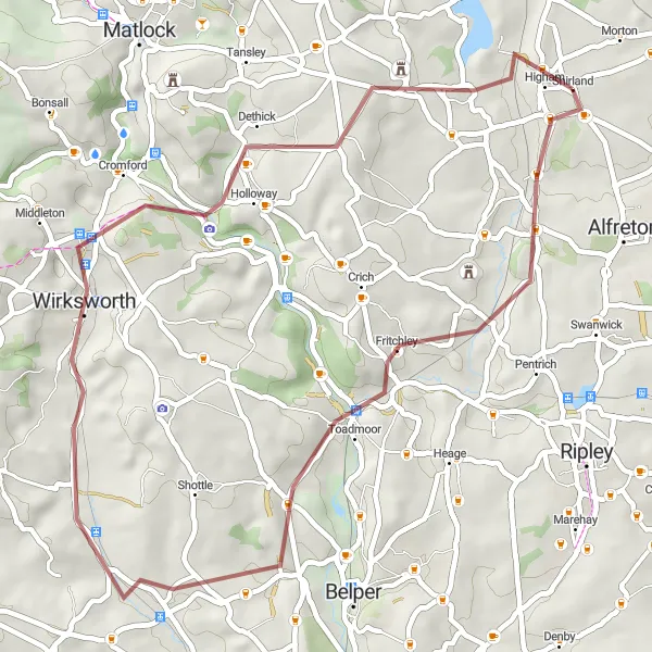
This gravel route offers a great opportunity to experience the stunning landscapes and charming villages of Derbyshire. With moderate ascents and a distance of 43 kilometers, it is suitable for well-trained amateurs. The route begins near Shirland and takes you through Ambergate, Wirksworth, Bolehill, and Higham, each offering their unique highlights. Overall, the route provides a delightful cycling experience through quaint towns and scenic countryside.
gravel
43 km
730 m
Tough
Route profile
Highlights on the route
0 km
0 km
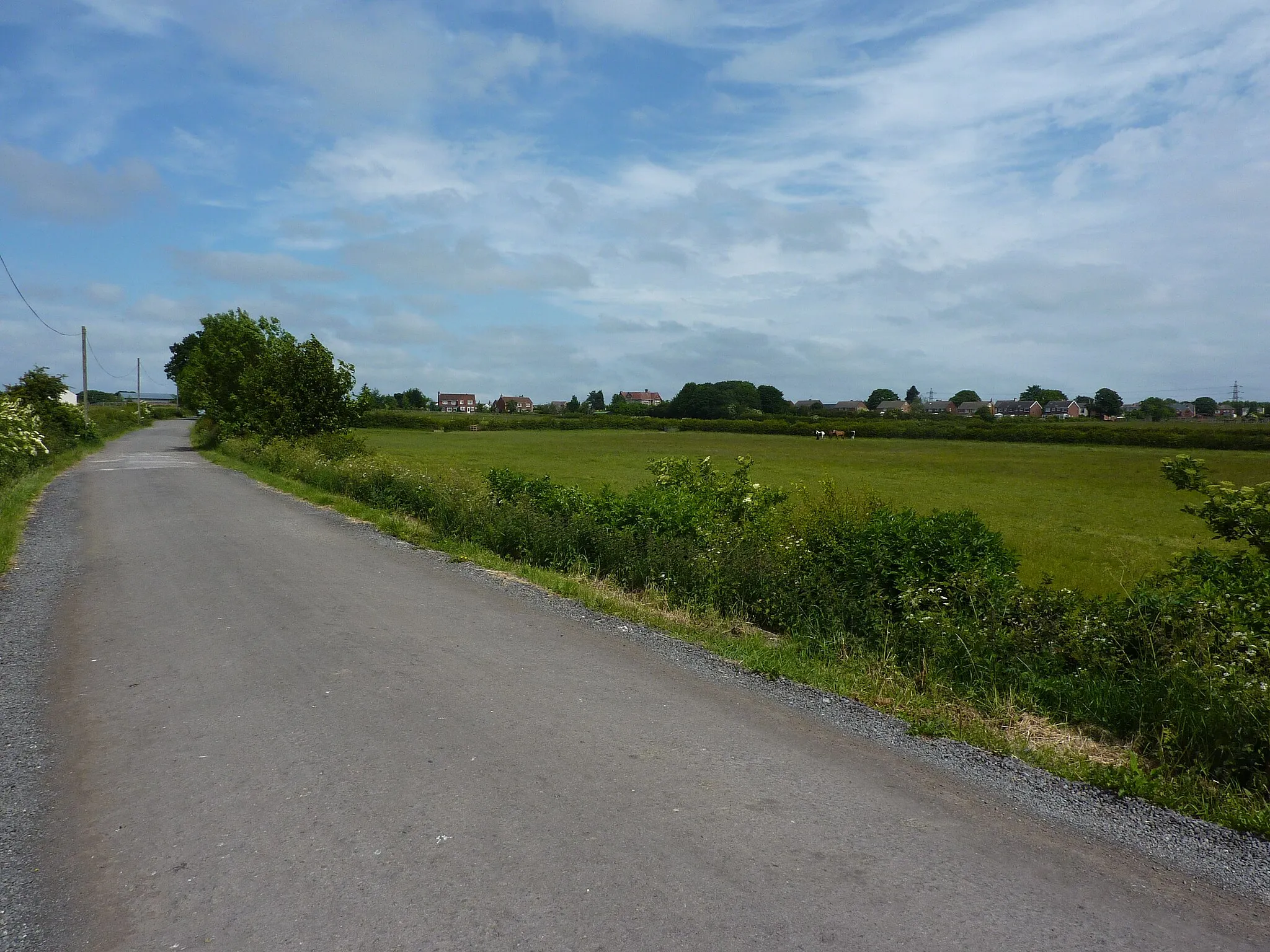
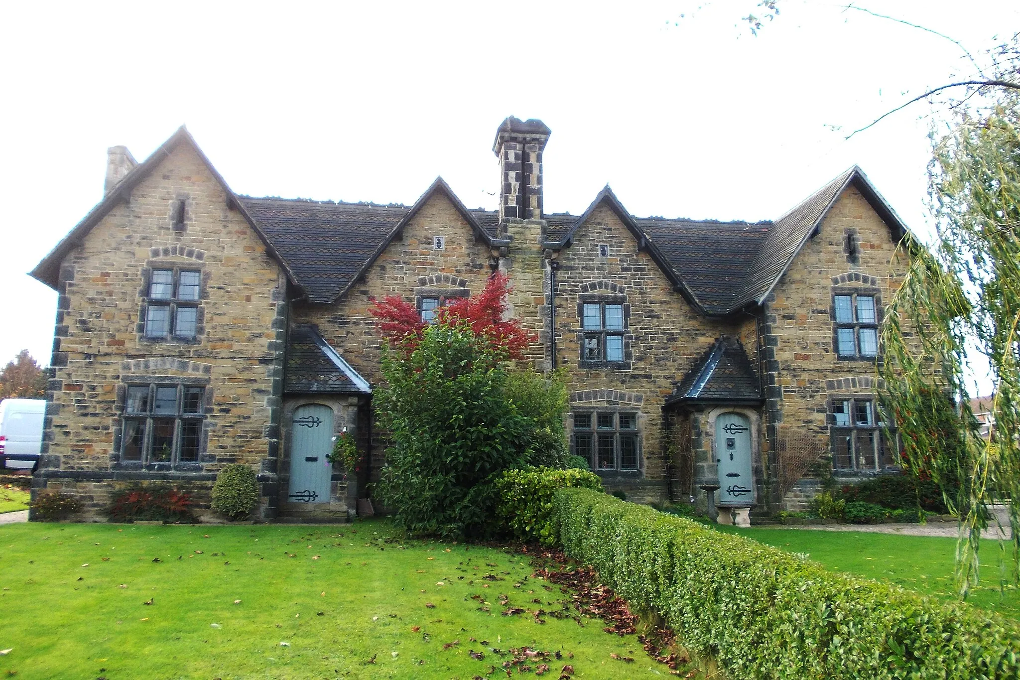
Start: Shirland Village centerShirland: Cycling paradise with iconic climbs Mam Tor and Winnats Pass nearby.
Shirland is a small locality in Derbyshire and Nottinghamshire, United Kingdom, which offers a great cycling experience for road and gravel cyclists. The area has a mix of flat and hilly terrain, providing plenty of variety for riders. Cyclists can enjoy picturesque countryside views and quiet country roads. Nearby, there are several well-known climbs including Mam Tor and Winnats Pass. Shirland is a popular destination for cyclists looking to challenge themselves on these iconic climbs.11 km
11 km
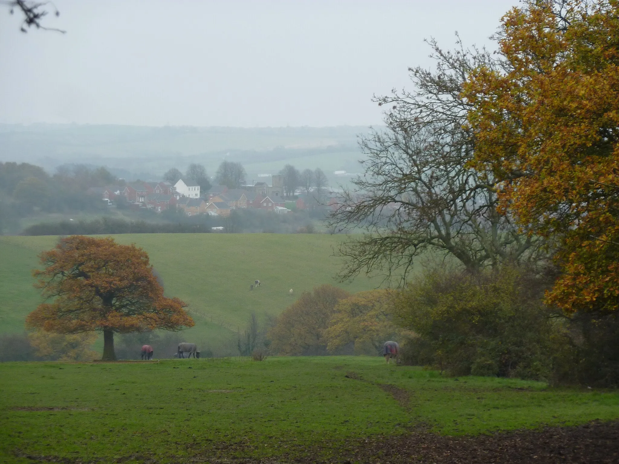
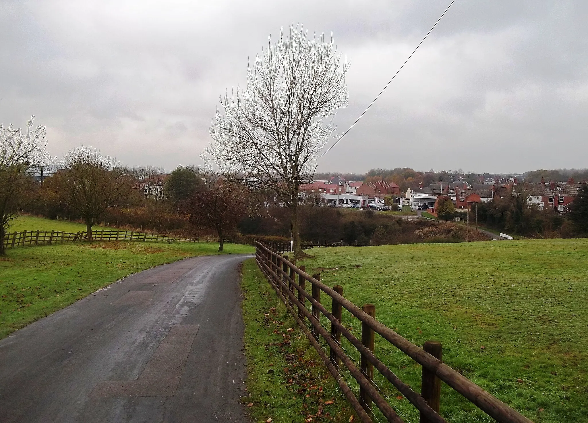
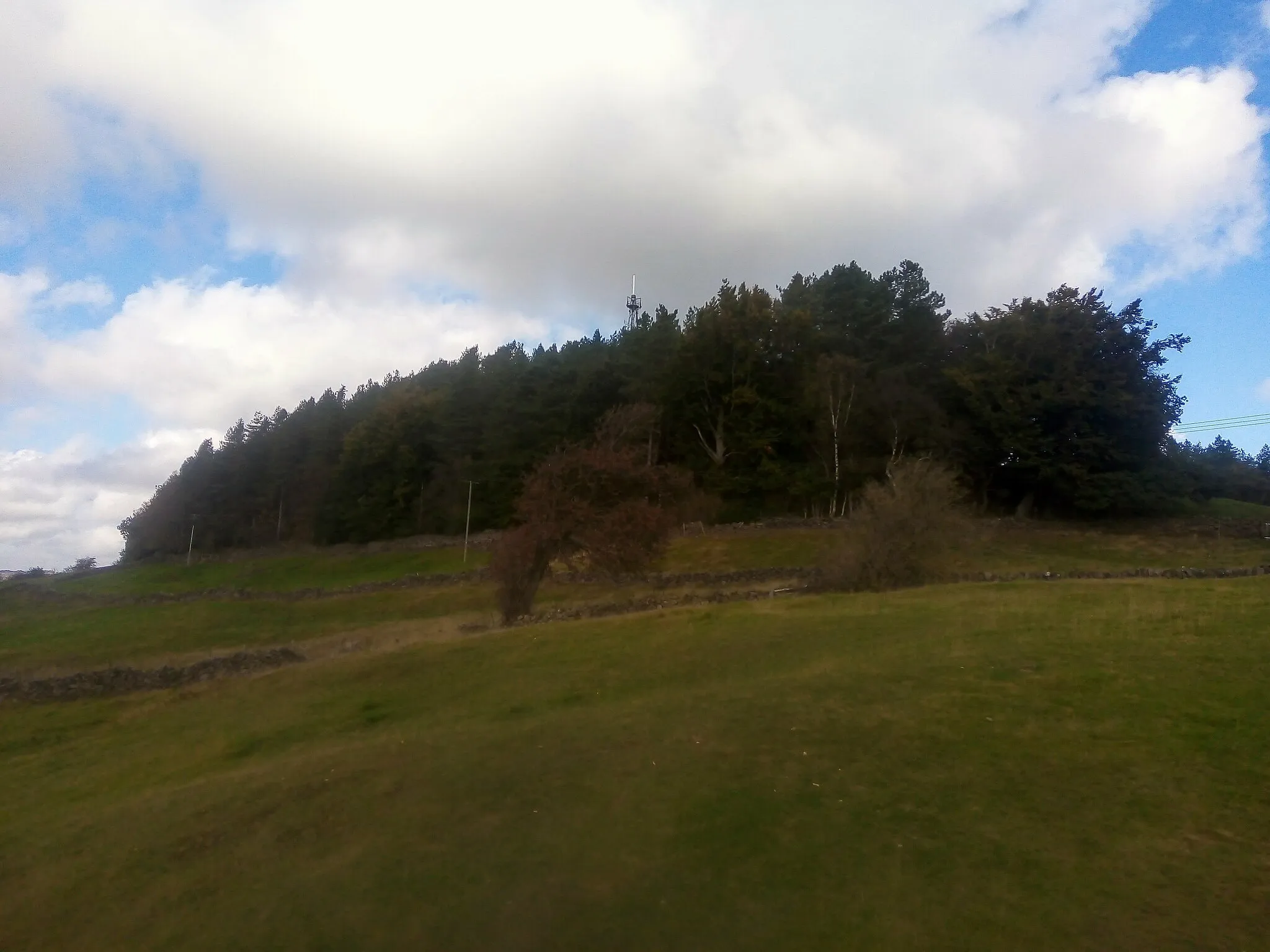
AmbergateVillageAmbergate, located 11 kilometers into the route, is home to several historic buildings and offers beautiful views of the surrounding countryside.
26 km
26 km
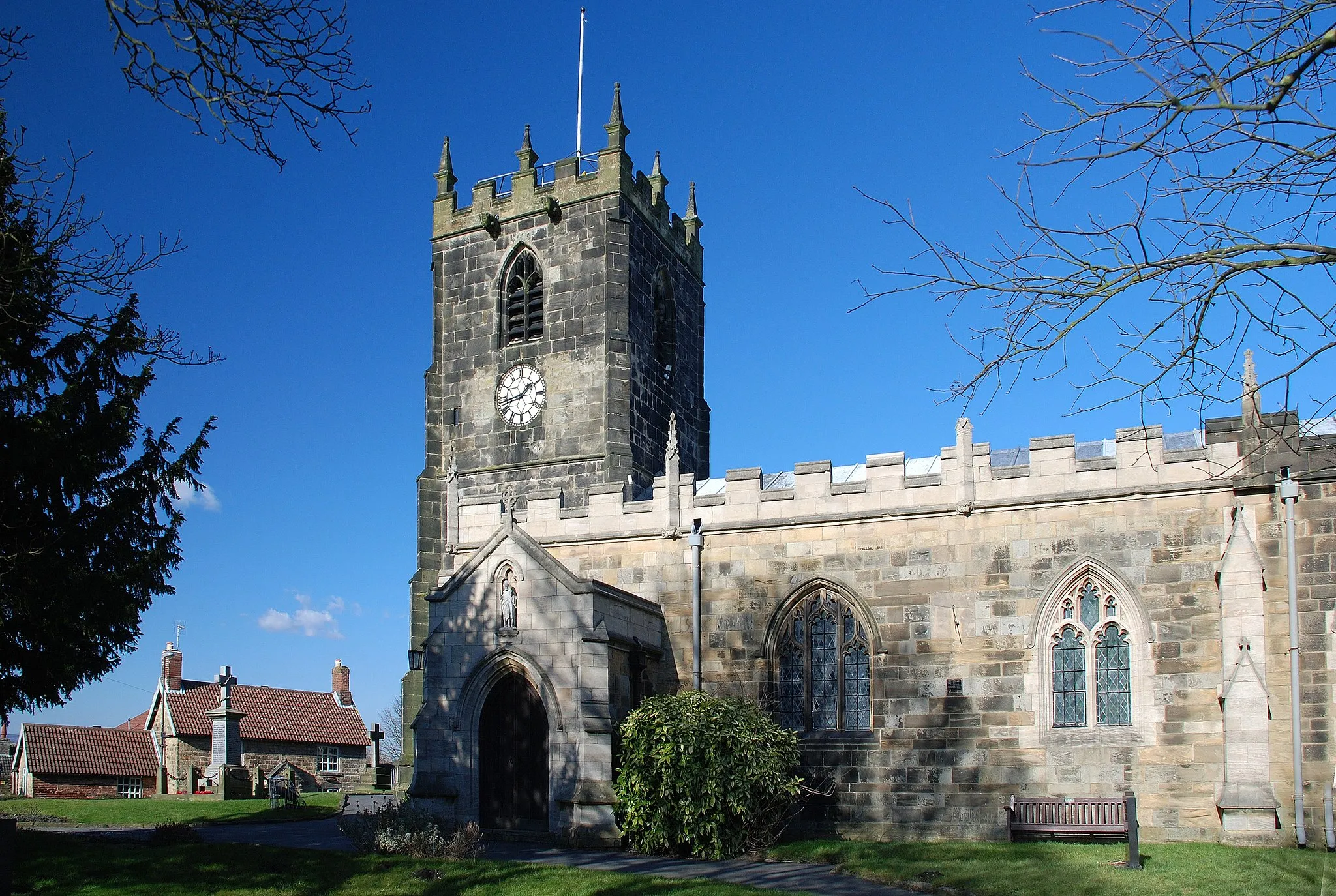
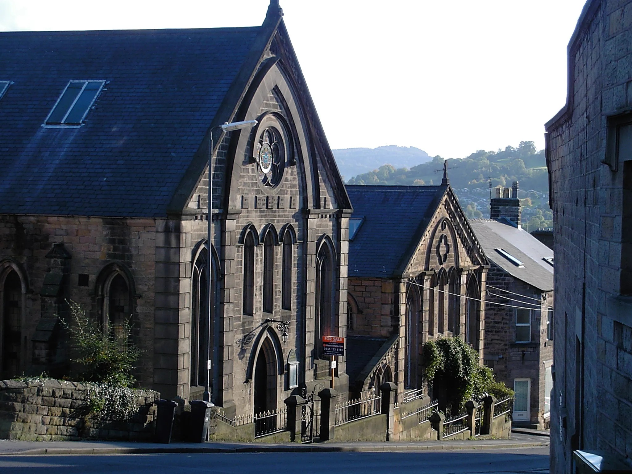
WirksworthTownWirksworth, at a distance of 26 kilometers, is known for its quirky art scene and charming streets lined with independent shops.
29 km
29 km
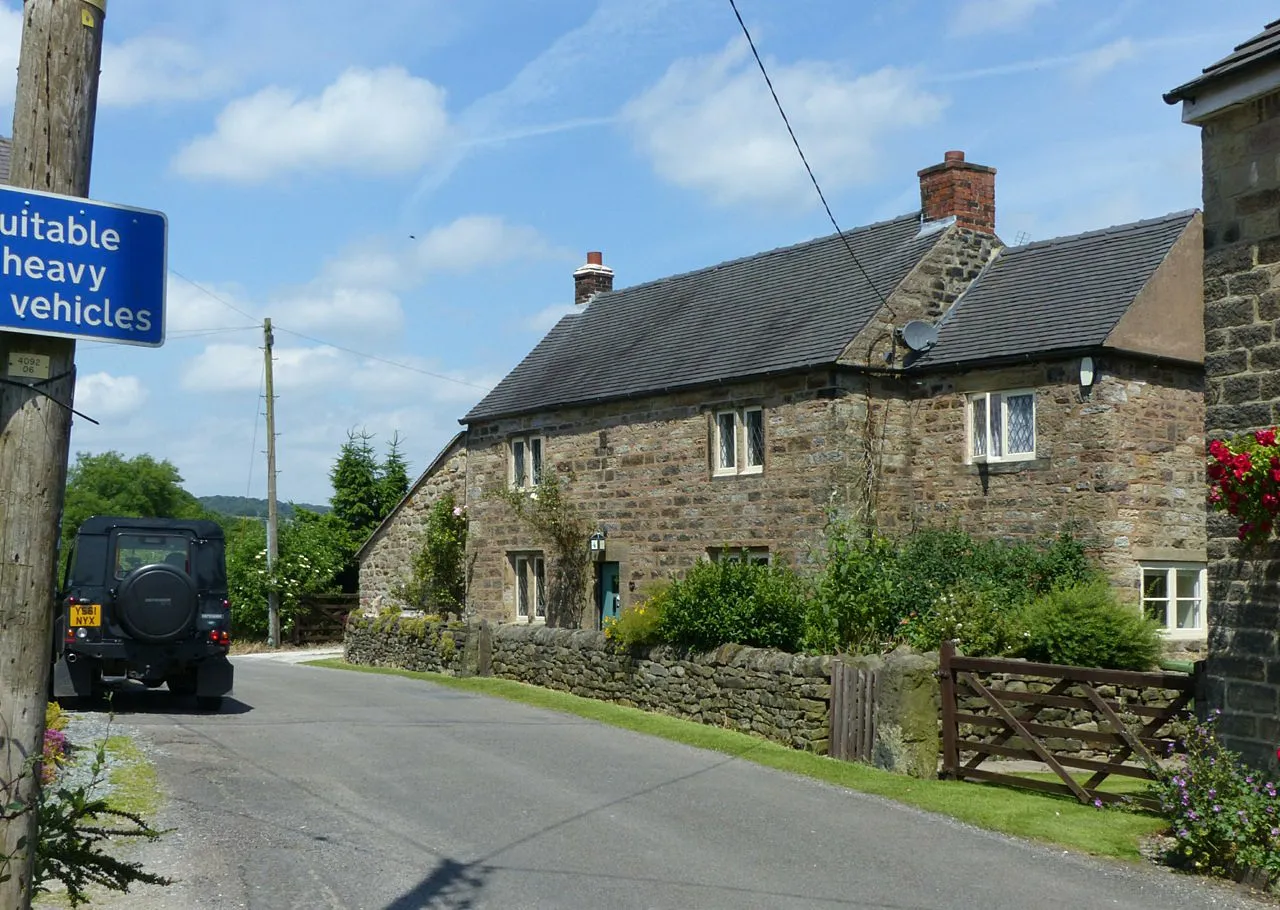
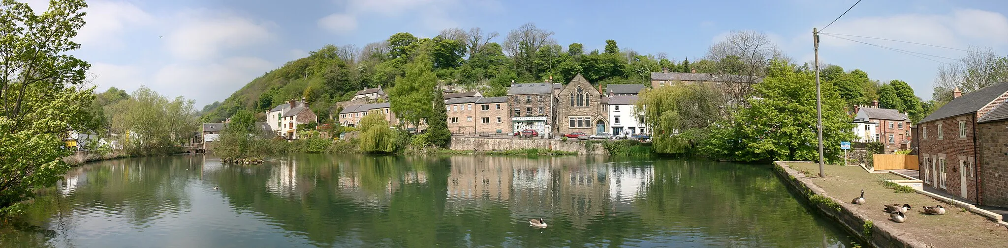
Bolehill323 mPeakBolehill, after 29 kilometers, is a quaint village that offers a peaceful atmosphere and scenic views of the rolling hills.
42 km
42 km
HighamVillageHigham, situated at 42 kilometers, is a picturesque village with stone cottages and an idyllic countryside setting.
43 km
43 km
Finish: Shirland Village centerShirland: Cycling paradise with iconic climbs Mam Tor and Winnats Pass nearby.
Cycling routes from Shirland:
Countryside Enchantment The Clay Cross Gravel Loop Temple Normanton to Newtonwood Lane The Papplewick Gravel Circuit Ambergate and Beyond Stretton to Stonebroom Road Challenge Nature and Tranquility The Gravel Adventure The Sherwood Forest Loop The Peak District Challenge Gravel Adventure Morton and Beyond Discover Matlock Ripley and Beyond
Cycling routes nearby: